The best walks and hikes around Cree Valley
4.5
(562)
3,701
hikers
93
hikes
Hikes in Cree Valley Scotland are set within the landscapes of Dumfries and Galloway, encompassing parts of the Galloway Forest Park. The region is characterized by ancient woodlands, serene lochs such as Loch Trool, and rugged granite hills like Cairnsmore of Fleet. The terrain offers a mix of gentle riverside paths and more demanding ascents to notable peaks.
Best hiking trails around Cree Valley
- The most popular hiking route is the Loch Trool loop, a 6.1 mile (9.8 km) trail that takes around 2 hours 40 minutes to complete. This moderate hike follows the shoreline of the loch through woodland.
- Another top favourite among local hiking enthusiasts is the Loch Trool to Merrick return, a moderate 8.0 mile (12.9 km) path. The route involves a significant ascent to the highest peak in Southern Scotland.
- Local hiking enthusiasts also love the Cairnsmore of Fleet return, a 7.9 mile (12.7 km) trail leading through open moorland, often completed in about 4 hours 20 minutes.
- Hiking around Cree Valley is defined by expansive forest parks, lochside paths, and ascents onto open moorland. The network of trails provides options for both shorter, easier walks and more challenging hill hikes.
- The routes in Cree Valley are highly rated by the komoot community with an average score of 4.5 stars from more than 390 reviews. More than 2,800 hikers have used komoot to explore Cree Valley's varied terrain.
Last updated: July 7, 2026
4.7
(84)
544
hikers
9.85km
02:40
140m
140m
Embark on the Loch Trool loop, a moderate hiking route that guides you through the varied landscapes of Galloway Forest Park. You will traverse good gravel paths and sections of beaten earth, winding through ancient woodlands. As you hike, expect expansive views of the tranquil Loch Trool and the surrounding rugged hills, with glimpses of the Merrick in the distance. This 6.1-mile (9.8 km) journey involves a manageable 458 feet (140 metres) of elevation gain, typically taking around 2 hours and 40 minutes to complete.
Before you set out on this adventure, be aware that timber harvesting operations in Galloway Forest Park can sometimes lead to partial trail closures or diversions. It is always a good idea to check local conditions and any official updates before your visit to ensure a smooth trip. The area is also renowned for its dark skies, making it an excellent location for stargazing if you plan an evening visit or an overnight stay nearby. Consider starting your hike earlier in the day to fully enjoy the scenery and complete the moderate loop before dusk.
Beyond the scenic beauty, the route offers a touch of history as you pass by the significant Bruce's Stone, commemorating Robert the Bruce's victory. You will also encounter numerous waterfalls along the way, such as the picturesque Gairland Burn, adding to the natural charm of the trail. This loop provides a well-rounded experience, blending natural beauty with historical significance within the expansive Galloway Forest Park.
4.8
(26)
301
hikers
12.9km
04:42
820m
820m
Embark on the Merrick Trail, a moderate hike that takes you through the diverse landscapes of Galloway Forest Park. You will traverse well-defined paths alongside Buchan Burn before encountering more rocky sections as you ascend. The journey covers 8.0 miles (12.9 km) with a significant elevation gain of 2699 feet (823 metres), typically requiring about 4 hours and 41 minutes to complete. Your efforts are rewarded at The Merrick Summit, offering expansive 360-degree panoramic views over the Galloway Hills and Loch Trool. This route provides a challenging yet accessible experience, immersing you in Southern Scotland's highest peak.
To begin your hike, head towards Bruce's Stone, which serves as a convenient starting point for many routes in the area. You should wear waterproof hiking boots, as the trail can feature wet and boggy areas, especially after rain. If you plan to tackle this route during winter months, be prepared with specialized gear such as ice axes and crampons for safety. Always check local weather conditions before you set out, as mountain weather can change rapidly.
The Merrick Trail stands out as a prominent route in Southern Scotland, leading you to the region's highest point. As you hike, you might even spot the Culsharg Bothy, a basic shelter used by hikers, adding a touch of rustic charm to the journey. The panoramic views from the summit extend across various lochs and the vast Galloway Hills, making it a memorable experience for those seeking a rewarding mountain adventure.

Sign up for free
4.9
(30)
264
hikers
7.84km
02:05
80m
80m
The Water of Trool loop from Glentrool Village offers a moderate hike through the scenic Galloway Forest Park. This route covers 4.9 miles (7.8 km) with an elevation gain of 249 feet (76 metres), typically taking around 2 hours and 4 minutes to complete. You will walk through tranquil oakwoods and conifer woodlands, following the picturesque Water of Trool, with a magnificent viewpoint overlooking Spout Head Waterfall. Expect varied terrain with loose gravel surfaces, occasional uneven sections, and some short, steep slopes.
To begin your hike, head to the Glentrool Visitor Centre, which provides convenient parking, a café, and helpful information. While the trail is generally accessible, you should be sure-footed, as some gravelly, bumpy, and potentially muddy parts might challenge those with mobility issues. The route also includes two road crossings and a pair of bridges, ensuring a varied walking experience.
This area is rich in history and natural beauty; you can visit the Martyr's Tomb, commemorating Covenanters killed in 1665, and learn about Robert the Bruce's connection to the Battle of Glen Trool. The Galloway Forest Park is a designated Dark Sky Park, offering exceptional stargazing, and is home to diverse wildlife like red deer, wild goats, and various bird species. The trail also connects with the Southern Upland Way, providing options for longer explorations.
4.8
(22)
121
hikers
19.4km
05:12
230m
230m
Embark on the Loch Trool loop from Glentrool Village, a difficult hiking route that immerses you in the stunning landscapes of Galloway Forest Park. This challenging trail spans 12.0 miles (19.4 km) and involves an elevation gain of 750 feet (229 metres), typically taking about 5 hours and 11 minutes to complete. As you hike, you will experience varied terrain, from soft ground to fairly steep slopes, winding through native oak woodlands and dense coniferous forests. Keep an eye out for picturesque waterfalls, such as Gairland Burn Waterfalls, cascading down the hillsides. The route offers sweeping views of Loch Trool and the surrounding hills, including the foothills of the Merrick, providing a truly rewarding outdoor experience.
To prepare for this difficult hike, ensure you wear sturdy hiking boots, as the trail features varied terrain, including soft ground and some long, fairly steep slopes. You can easily access the trailhead from Glentrool Village, where parking is readily available for your convenience. This route is also dog-friendly, so your canine companion can join you on this adventure. Plan to start early to make the most of the daylight, especially given the estimated duration.
Beyond the natural beauty, the trail also holds historical significance, taking you past Bruce's Stone Memorial. This landmark offers commanding views and a moment to reflect on the area's past. While hiking, you might spot local wildlife like red squirrels and roe deer, adding to the immersive experience. A scenic bench overlooking Loch Trool provides a perfect spot to pause and take in the vastness of the landscape, making this loop a notable journey within the region.
4.8
(12)
112
hikers
12.7km
04:21
680m
680m
The Cairnsmore of Fleet return offers a moderate hiking experience, guiding you through a varied landscape. You will begin on estate roads, transition to wood and forest paths, and eventually reach open moorland. This 7.9-mile (12.7 km) route involves an elevation gain of 2231 feet (680 metres) and typically takes around 4 hours and 20 minutes to complete. As you ascend, panoramic views of the neighboring Galloway Hills, the Cree Estuary, and the Solway Firth unfold. Reaching the Cairnsmore of Fleet Summit Trig Point rewards you with exceptional vistas, and on clear days, you might even glimpse the distant Lake District.
While the trail is generally clear, be aware that some sections on the hilltops involve walking on pathless grass. Boggy patches can also be present, especially near the summit. Always be prepared for changing weather conditions; even in summer, unexpected hail can occur. If you plan a winter hike, specialized equipment like an ice-axe and crampons will be necessary to navigate the conditions safely.
This route is situated within the Cairnsmore of Fleet National Nature Reserve, an area known for its natural beauty. As you hike, keep an eye out for local wildlife; you might spot peregrine falcons soaring overhead or wild goats grazing along the way. The diverse terrain and the opportunity to observe nature make this trail a notable option for exploring the region's unique environment.
Get access to more routes and recommendations from other explorers.
Sign up for free
Already have an account?
Our route recommendations are based on thousands of hikes, rides, and runs completed by other people on komoot.
Start today with a free account
Your next adventure awaits.
Login or Signup
Popular around Cree Valley
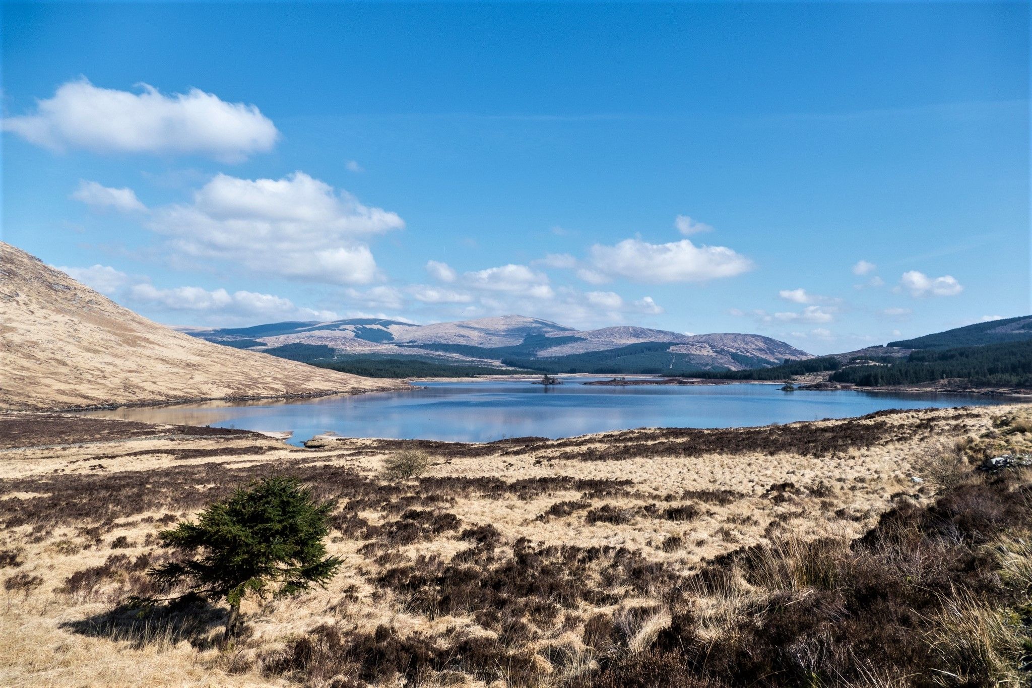
Southern Upland Way — A wild and undiscovered coast-to-coast challenge
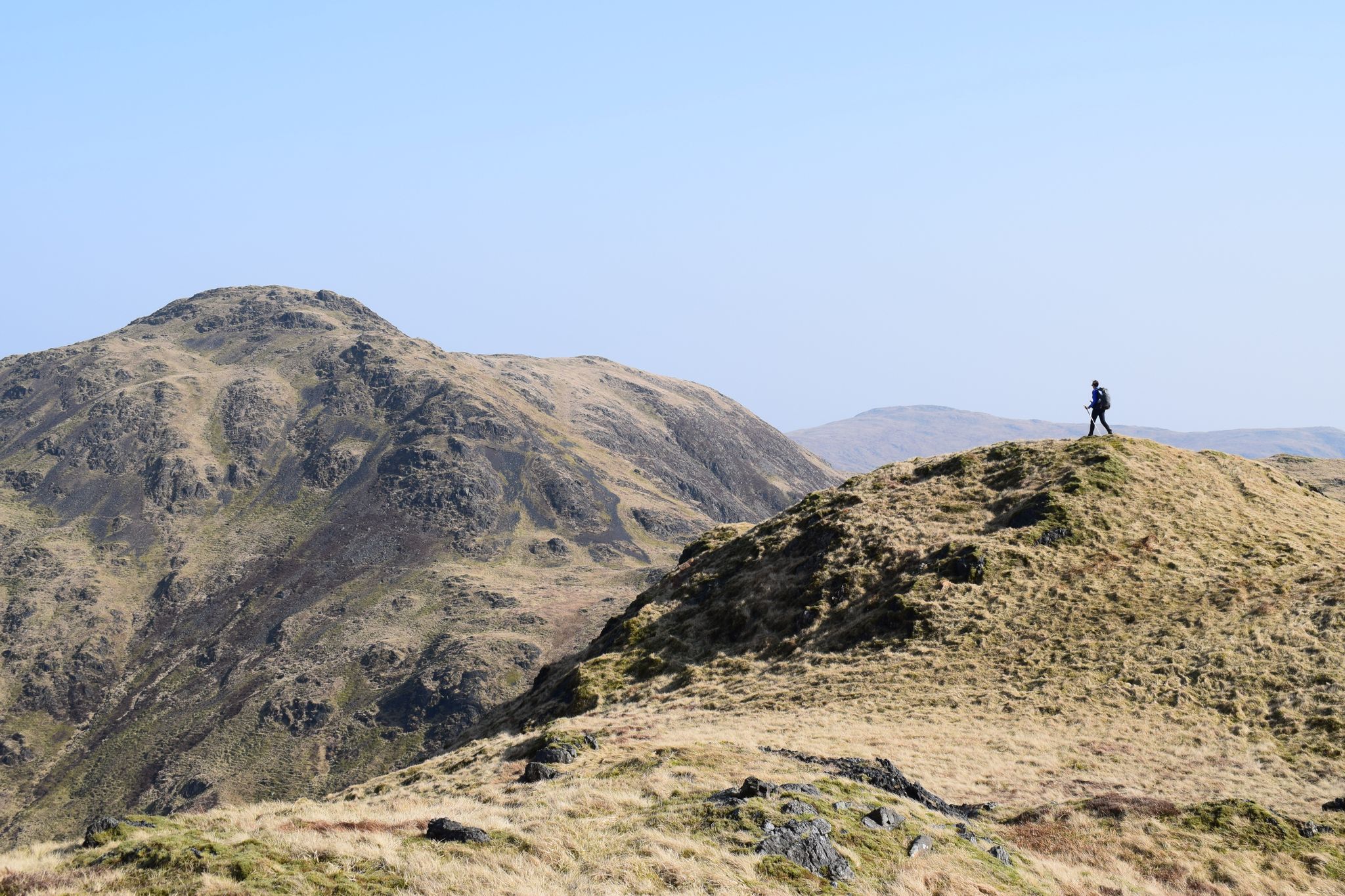
Ring of Fire — a rugged adventure in Scotland's Southern Uplands
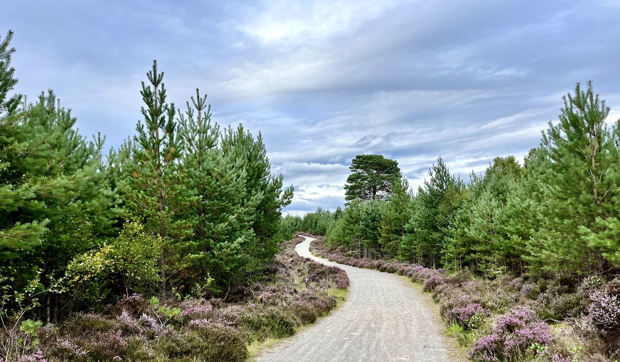
National Cycle Network Route 7 – Sunderland to Inverness
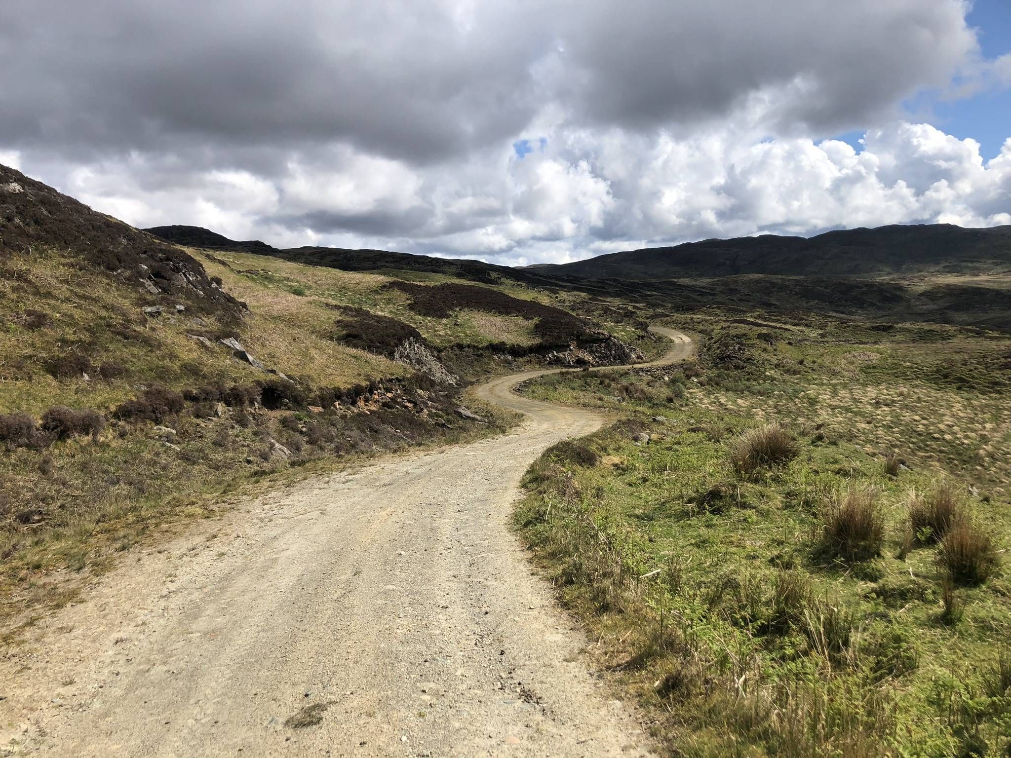
The Faultline Trail — Scotland tip to tip
Celebrating Kirkpatrick MacMillan on the Kirkpatrick Coast to Coast
Bikepacking the breadth of the Borderlands — Southern Upland Way
MTB Trails around Cree Valley
Cycling around Cree Valley
Road Cycling Routes around Cree Valley
Running Trails around Cree Valley
Other adventures around Cree Valley


Tips from the Community

The landscape is stunningly beautiful, but the paths are not as easy to walk as advertised. The barely discernible path up leads almost entirely through muddy, boggy terrain. We often sank ankle-deep, at times knee-deep. From Loch Enech onwards, there is no discernible path; the ground is drier, but eroded and full of holes. The way down is the official route, and considerably better. They've tried to make everything more walkable with fleece and gravel, but the water has already washed away much of it. Unfortunately, it's hard to enjoy the scenery while walking, as you're so busy trying not to slip and sink with every step. In the end, we were glad to be back down with our bones intact. The path can only be recommended with reservations.
0
0

The bench is no longer there. There was a swallows nest in the room to left of door so try not to disturb it. Beautiful views from it and neighbouring burn
0
0

After a steep second half of the ascent, the views from the top are spectacular, and the run back down is superb
0
0

2024 update: There's no windows or doors, but there's a roof that looks pretty solid. Use at your own risk, of course 🙏
0
0
Stunning 360 views of the Galloway hills
0
0

Great little hike with little foot traffic and a free carpark. Lovely views when the clouds lift and babbling brooks all over.
1
0

Please consult the large notice board at the trailhead. This is a commercial forest and currently, timber harvesting is taking place along the southern flank of the Loch (hence tha barriers encountered by abp1). There are diversions in place to avoid the southern flank, rerouting via the north shore. This is detailed on the notice board. Also, please be aware that this is not an official MTB route, and taking a bike along it is not a good idea since the trail will have walkers of all abilities along its length, most of whom will not be expecting MTBs at all.
0
0

There are hot dishes, soups and homemade cakes. Of course also souvenirs
0
0
Frequently Asked Questions
Are there many hiking trails to choose from in Cree Valley?
Yes, there's a wide variety of trails. You can explore over 90 different routes, ranging from easy family-friendly strolls to challenging mountain ascents.
What do other hikers enjoy most about Cree Valley?
The area is highly rated by the komoot community, with an average score of 4.5 stars. Reviewers often praise the mix of tranquil lochside paths, ancient woodlands, and the expansive, wild feel of the Galloway Forest Park.
Are there any easy, family-friendly walks in the area?
Absolutely. The Water of Trool loop from Glentrool Village is a great option. It's a relatively flat and gentle walk that follows the river, making it perfect for a relaxed family outing.
Can I bring my dog on hikes in Cree Valley?
Cree Valley is very dog-friendly. Many trails, especially within the vast Galloway Forest Park, are suitable for walking with dogs. Just be mindful of livestock in open moorland areas and local guidance, particularly during bird nesting season in reserves like the RSPB Wood of Cree.
Are there any hikes with waterfalls?
Yes, the RSPB Wood of Cree nature reserve is well-regarded for its woodland trails that lead past several beautiful waterfalls. It's the largest ancient woodland in southern Scotland and offers a magical experience, especially after rainfall.
What are the options for a long-distance hike?
For a more challenging day out, the extended Loch Trool loop from Glentrool Village offers a substantial 12-mile (19 km) trek. It combines the scenic lochside path with more remote forest tracks for a full day of hiking.
What kind of wildlife might I see while hiking?
The diverse habitats support a rich variety of wildlife. Keep an eye out for red squirrels and woodland birds like the pied flycatcher in the Wood of Cree. On the open moorlands of Cairnsmore of Fleet, you might spot red deer, feral goats, and birds of prey.
Where are the best places for scenic views?
For panoramic vistas, the trails within the Cairnsmore of Fleet National Nature Reserve are excellent. On a clear day, the views from the summit can stretch across the Cree Estuary and even to the Lake District. The area around Loch Trool also offers stunning scenery of the water and surrounding hills.
When is the best time of year to hike in Cree Valley?
Spring is a fantastic time to visit, as the ancient woodlands, particularly the Wood of Cree, are carpeted in bluebells and alive with birdsong. Autumn offers beautiful colours throughout the Galloway Forest Park. Summer provides the best chance for clear, long days to tackle the higher peaks.
What are some popular starting points for hikes in the region?
Many popular hikes begin within the Cairnsmore of Fleet National Nature Reserve and the expansive Galloway Forest Park. The car parks around Loch Trool and at the RSPB Wood of Cree are also common starting points for well-loved trails.
Is there anything else to do in the area besides hiking?
Yes, the Galloway Forest Park is a designated Dark Sky Park, offering incredible stargazing opportunities on clear nights. The region's lochs are also popular for paddling and fishing.
Most popular routes around Cree Valley
Most popular attractions around Cree Valley

Get inspired with the komoot mobile app


Explore more
Browse the best Hikes in other regions.
