The best MTB trails around Gräfendorf
4.5
(83)
312
riders
34
rides
Mountain biking around Gräfendorf offers diverse terrain within the Spessart region and the Franconian Saale valley. The area features dense forests of the Spessart to the west and views of the Rhön mountains to the east. Rolling hills and river valleys like the Franconian Saale and Schondra provide varied landscapes for cycling. The Sodenberg, an extinct volcano, offers panoramic views and adds to the region's topographical interest.
Best mountain bike trails around Gräfendorf
- The most popular mountain bike trail is…
Last updated: July 1, 2026
4.2
(13)
44
riders
Moderate mountain bike ride. Good fitness required. Advanced riding skills necessary.
4.8
(13)
50
riders
36.3km
02:14
340m
340m
Moderate mountain bike ride. Good fitness required. Suitable for all skill levels.

Sign up for free
4.7
(7)
41
riders
Moderate mountain bike ride. Good fitness required. Advanced riding skills necessary.
4.0
(2)
11
riders
Moderate mountain bike ride. Good fitness required. Advanced riding skills necessary.
4.6
(5)
14
riders
34.4km
02:48
610m
610m
Hard mountain bike ride. Good fitness required. Advanced riding skills necessary. Some portions of the route may require you to push your bike.
Get access to more routes and recommendations from other explorers.
Sign up for free
Already have an account?
Our route recommendations are based on thousands of hikes, rides, and runs completed by other people on komoot.
Start today with a free account
Your next adventure awaits.
Login or Signup

Other adventures around Gräfendorf

Tips from the Community

The structure shown in the picture is an unfinished bridge pier of the so-called Route 46, a planned motorway built during the Nazi era but never completed. Route 46 was intended to connect Bad Hersfeld with Würzburg. Background: Construction of Route 46 began in the 1930s. However, the project was halted with the outbreak of World War II in 1939 and never resumed.
1
0

Open shelter with signposts and trash cans. Nice. The road I then continued south from there was a real pain. It was littered with tire tracks, holes, deep undulations, and during the rainy season, mud and mud holes. You don't need to have them. But when it's dry, you can get through without a nervous breakdown.
0
0

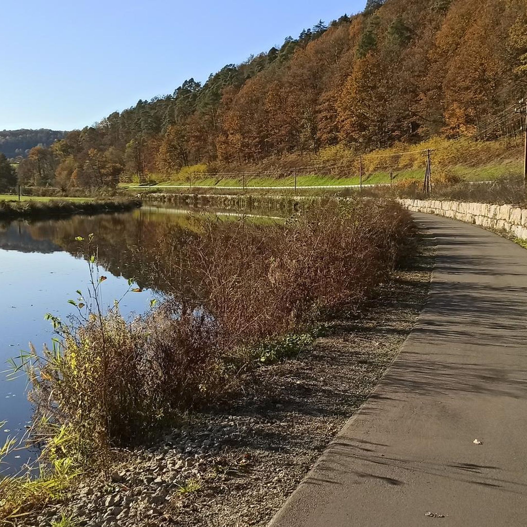
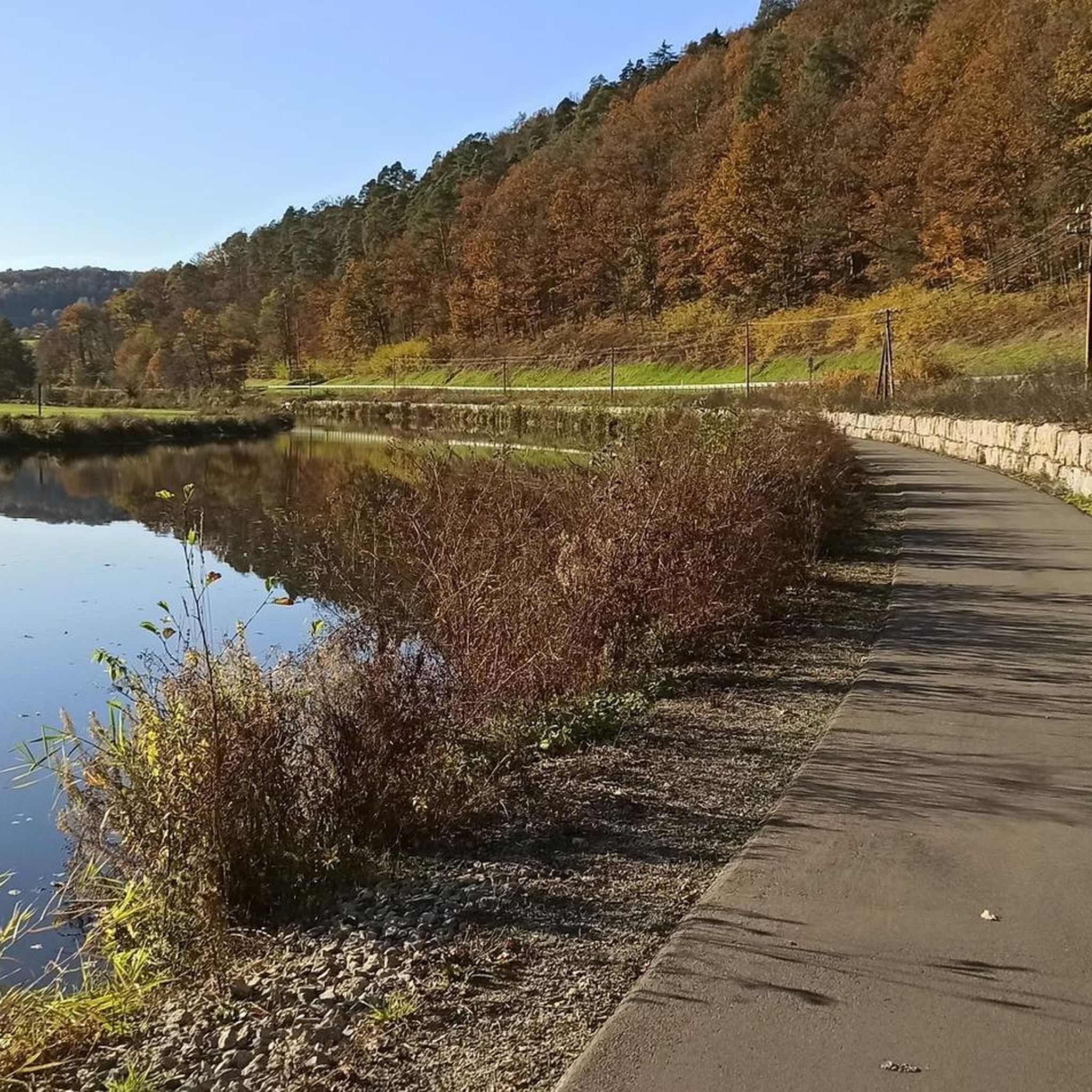
A shady trail through the forest above the Franconian Saale River. A beautiful section.
0
0

A cozy and inviting little village. You can enjoy the Saale River from the bridge.
0
0
The descent is a bit rough, so inexperienced riders should definitely be careful. The uphill section is not recommended.
0
0
A fast, beautiful descent with a view of the Franconian Saale River. It's a bit of a change from the usual bike path 👍🏼
0
0
It's wonderful to drive here. I recommend it to everyone 💯
0
0

Mobile covered wooden bridge at the Dickenmühle;
0
0
Frequently Asked Questions
What kind of terrain can I expect on mountain bike trails around Gräfendorf?
The region offers a diverse landscape, blending the dense forests of the Spessart to the west with views of the Rhön mountains to the east. You'll encounter rolling hills and picturesque river valleys like the Franconian Saale and Schondra, providing varied terrain suitable for different cycling preferences.
How many mountain bike trails are available in the Gräfendorf area?
There are over 35 mountain bike tours around Gräfendorf listed on komoot, offering a wide range of options for exploring the region.
What are the difficulty levels of mountain bike trails near Gräfendorf?
The trails around Gräfendorf cater to various skill levels. You'll find 1 easy route, 25 moderate routes, and 9 difficult routes, ensuring there's a suitable challenge for most mountain bikers.
Are there any family-friendly mountain bike trails in Gräfendorf?
While specific family-designated trails aren't highlighted, the region's extensive network of cycling paths, particularly along the Franconian Saale and Schondra valleys, includes easier sections that can be suitable for families. Look for routes marked as 'easy' on komoot for gentler rides.
Can I bring my dog on mountain bike trails in Gräfendorf?
Many natural areas in the Spessart and Rhön regions are generally dog-friendly, especially on forest and valley paths. However, it's always best to keep your dog on a leash, respect local wildlife, and check specific trail regulations if posted. Ensure your dog is fit enough for the ride.
What are some scenic spots or landmarks to look out for on mountain bike tours?
You can enjoy panoramic views from the Sodenberg, an extinct volcano, or visit the Sodenberg Cross Chapel. The Homburg Castle Ruins are another notable landmark. For natural beauty, explore the Franconian Saale Riverside Cycle Path or seek out the Trettstein Waterfall.
Are there any loop mountain bike trails around Gräfendorf?
Yes, many routes in the area are designed as loops. For example, the moderate Röder Mill Diebach – Market Fountain, Hammelburg loop from Weickersgrüben takes you through scenic river valleys, and the Röder Mill Diebach – View of the Homburg Castle ruins loop from Michelaubrück offers varied terrain.
What do other mountain bikers say about the trails in Gräfendorf?
The mountain bike routes in Gräfendorf are highly rated by the komoot community, with an average score of 4.5 stars from over 70 reviews. Users often praise the varied terrain, the beautiful Spessart forests, and the scenic river valleys.
When is the best time of year for mountain biking in Gräfendorf?
The region benefits from a mild, low-rainfall climate, making it suitable for mountain biking through much of the year. Spring and autumn offer pleasant temperatures and vibrant scenery, while summer provides longer daylight hours. The dense forests can offer shade on warmer days.
Are there any challenging mountain bike routes for advanced riders?
Yes, Gräfendorf offers several challenging routes. For instance, the Homburg Castle Ruins – Trail to Ruine Homburg loop from Weickersgrüben is classified as difficult, featuring significant elevation changes and technical sections for experienced riders.
Is there public transport access to mountain bike trails in Gräfendorf?
Gräfendorf is connected to regional transport networks. While specific public transport links directly to trailheads might vary, the area's well-developed cycling network often connects to villages and towns that are accessible by train or bus, allowing you to start your tour from various points.
Where can I find parking for mountain biking in Gräfendorf?
Parking is generally available in and around Gräfendorf, particularly in village centers or designated outdoor activity areas. Many komoot tours start from locations with accessible parking, such as the Bridge structure of Strecke 46 – Sinntal Viaduct near Obersinn loop from Gräfendorf, which begins directly in Gräfendorf.
Most popular routes around Gräfendorf
Most popular attractions around Gräfendorf

Get inspired with the komoot mobile app


Explore more
Browse the best MTB trails in other regions.
