Attractions and Places To See around Urr - Top 20
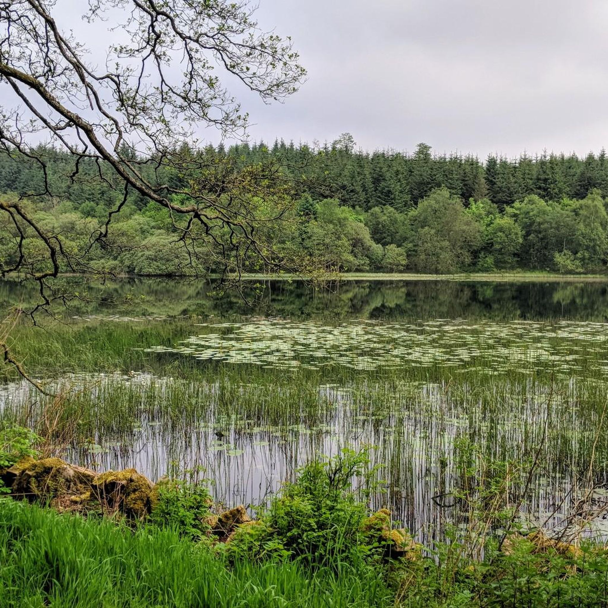
Best attractions and places to see around Urr are concentrated in the Dumfries and Galloway region of Scotland. This area features a landscape of hills, forests, and coastal views, offering opportunities for outdoor activities. The region provides diverse natural features, including summits with panoramic vistas and extensive woodlands. It is characterized by its varied terrain, suitable for exploration.
Best attractions and places to see around Urr
- The most popular attractions is Screel Hill, a trail that offers views towards…
Last updated: October 18, 2026
Screel Hill
Highlight • Trail
Tip by

Dalbeattie Heart Stane
Highlight • Viewpoint
No great skills are needed to make it this far.
Tip by

Sign up now to discover places like this
Get recommendations on the best single tracks, peaks, & plenty of other exciting outdoor places.
Mabie Forest
Highlight • Trail
Orchard Trail: 0.5 miles, white markers.
Chinney Field trail: 1.25 miles, red …
Tip by

Bengairn Summit
Highlight • Viewpoint
Tip by

Dumfries to Kirkcudbright Cycle Route
Highlight (Segment) • Cycleway
Tip by

Sign up for free to discover even more attractions around Urr.
Already have an account?
Start today with a free account
Your next adventure awaits.
Tips from the Community


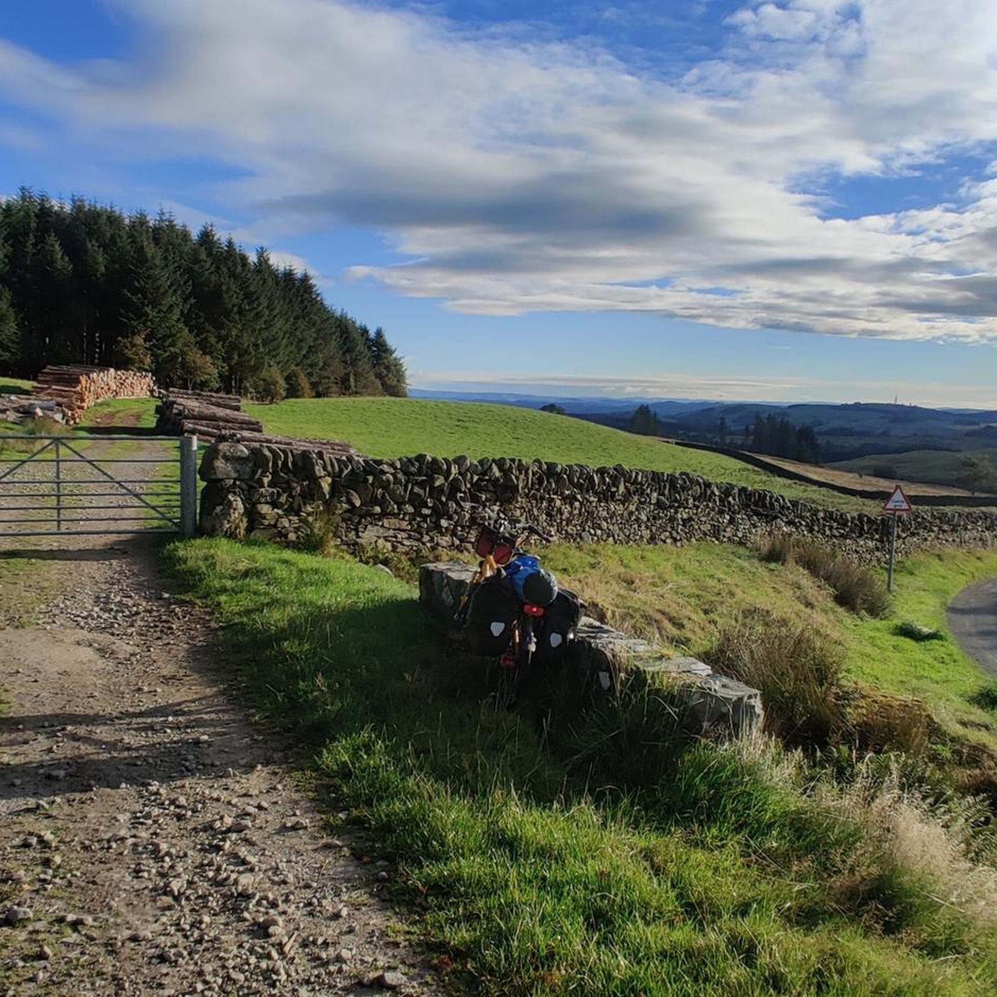
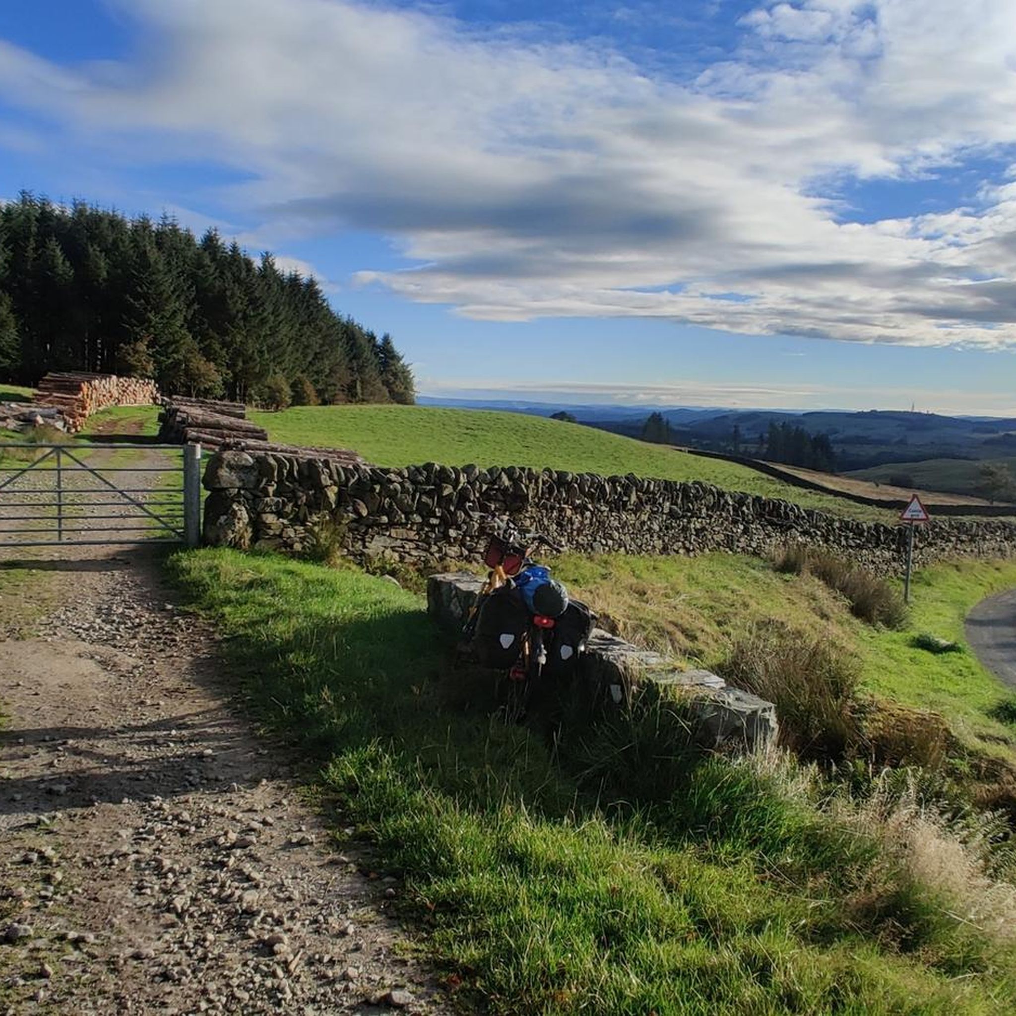
Screel Hill is a 344m hill overlooking Auchencairn Bay and the Solway Firth with excellent views across to the English Lake District. The excellent path up the east ridge was badly damaged by fallen trees during Storm Arwen in 2021 and these have not been closed so the upper section of the path has been closed. However a new path cuts across to meet the upper path above the damaged section so it is now possible to walk the upper section of the lovely east ridge again.
0
0
Bengairn is a 391m hill on the Dumfries and Galloway coast. It is classified as a Marilyn because it has over 150m of prominence. Bengairn is usually climbed with Screel Hill starting from the Forestry car park close to the A711. The path to Bengairn from Screel Hill isn't shown on any map but the start follows the wall below Screel Hill summit then skirts to the north then west of Mid Hill before reaching a gate in the wall at NX 77185 54974. From here there is a clear path to Bengairn summit. Bengairn summit is an even better viewpoint than Screel Hill. You can either return the same way or descend via the north east ridge through appalling long grass and bracken before reaching a lovely track that leads to another gate in the same wall at NX 77849 54576. From here a mapped track leads back to the car park.
2
0

In the middle of Dalbeattie forest is the Heart Stane - a huge chunk of local granite carved into a heart. It's at the top of a hill but the quickly growing trees prevent any long distance views
0
0
The highest point on the red trail makes for a good point for a break to check out the heart stane. There's no real view any longer now the trees have grown quite a bit
0
0
Although it's only a relatively modest hill, rising straight from sea level it feels like a real mountain. It's a great adventure with kids as only a fairly short walk gets you to a rocky summit with outstanding views over forest and sea
0
1

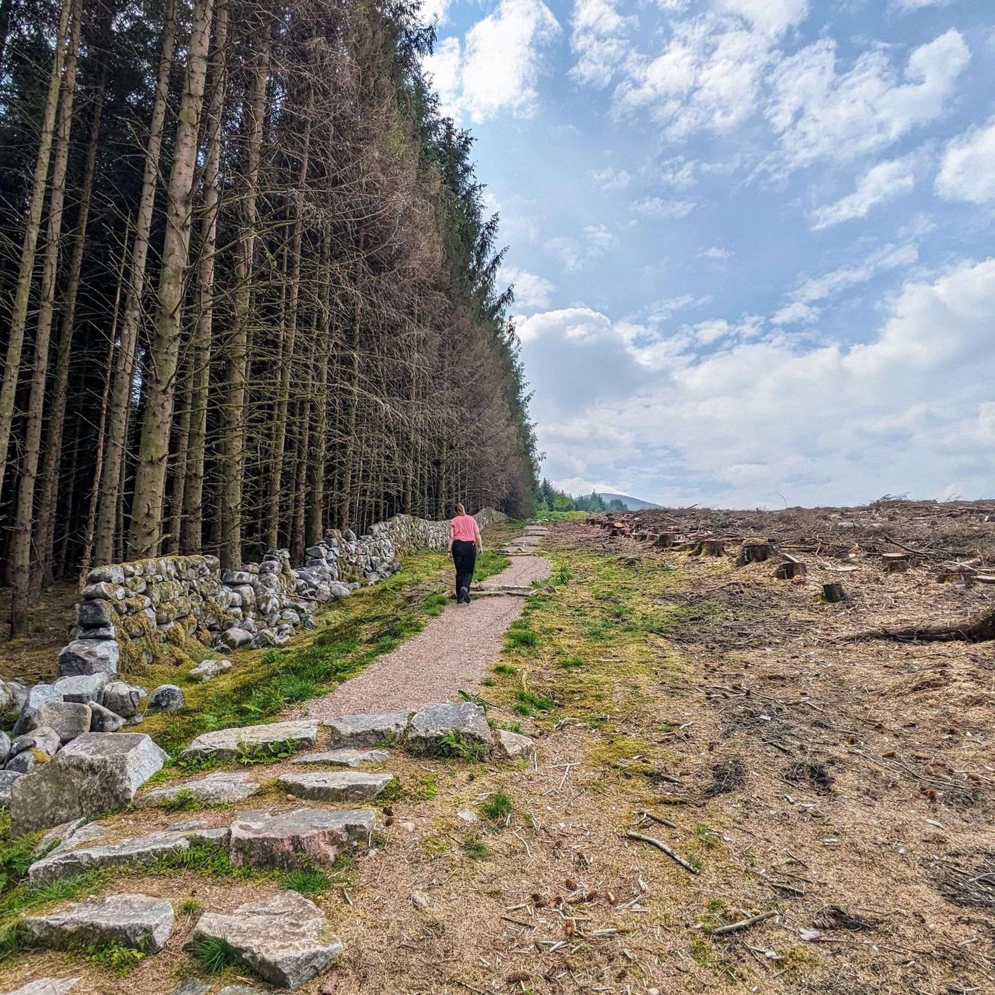
Mabie Forest has 5 waymarked walking/running trails from the car park start area. The trails are as follows... Orchard Trail: 0.5 miles, white markers. Chinney Field trail: 1.25 miles, red markers. Dalshinnie Glen trail: 2.5 miles, purple markers. Nith View trail: 4.5 miles, yellow markers. Lochaber Trail: 5 miles, dark red markers.
0
0

Bengairn is a 391-metre summit in the Dumfries and Galloway region of southern Scotland. From the top, you can enjoy panoramic views across the nearby coastal mountains and Solway Firth.
0
0
Frequently Asked Questions
What kind of natural features can I expect to see around Urr?
The Urr area in Dumfries and Galloway, Scotland, is characterized by a diverse landscape of hills, forests, and coastal views. You'll find prominent summits like Screel Hill and Bengairn Summit offering panoramic vistas, as well as extensive woodlands such as Mabie Forest. The region also features viewpoints like the Dalbeattie Heart Stane, providing scenic breaks.
Are there good hiking opportunities near Urr?
Yes, Urr offers various hiking opportunities. You can explore trails up hills like Screel Hill, which provides views towards Auchencairn Bay and the Solway Firth. Bengairn Summit is another excellent option, often climbed in conjunction with Screel Hill, offering even better panoramic views. For easier walks, easy hikes around Urr include routes like Plaintain Loch from Dalbeattie.
What cycling routes are available around Urr?
The Urr area is well-suited for cycling, particularly mountain biking. Mabie Forest is a popular spot with a comprehensive network of mountain bike trails. Additionally, the Dumfries to Kirkcudbright Cycle Route offers a scenic option for road cycling. For dedicated mountain biking, you can find various MTB trails around Urr, including challenging loops like Dalbeattie Heart Stane – Moyle Hill Summit.
Are there family-friendly activities or walks around Urr?
Absolutely. Mabie Forest is an excellent choice for families, offering multiple waymarked walking trails ranging from 0.5 to 5 miles, suitable for various ages and abilities. It's also home to diverse wildlife, including red squirrels, bats, and badgers, making it an engaging experience for children.
What is the best time of year to visit Urr for outdoor activities?
The best time to visit Urr for outdoor activities is generally during the spring (April-May) and autumn (September-October) months. During these periods, the weather is typically milder, and the landscapes are particularly beautiful, with spring blooms or autumn colours. Summer (June-August) is also popular, offering longer daylight hours, though it can be busier. Winters can be cold and wet, making some trails more challenging.
Where can I find forest trails for walking or cycling?
For extensive forest trails, head to Mabie Forest. This large woodland area features a comprehensive network of both hiking and mountain bike trails. Walking trails range from 0.5 miles to 5 miles, catering to different fitness levels, and the forest is known for its diverse wildlife.
What do visitors enjoy most about the attractions around Urr?
Visitors particularly enjoy the stunning views from the hill summits and viewpoints, such as those from Screel Hill and Bengairn Summit, which offer vistas across Auchencairn Bay, the Solway Firth, and even to the English Lake District. The well-maintained trails in areas like Mabie Forest are also highly appreciated for both walking and mountain biking, providing a great outdoor experience.
Are there any specific viewpoints worth visiting in the Urr area?
Yes, the Urr area boasts several excellent viewpoints. Screel Hill offers top-notch views towards Auchencairn Bay and the Solway Firth. Bengairn Summit is another fantastic viewpoint, often considered even better than Screel Hill, providing panoramic views across the coastal mountains. The Dalbeattie Heart Stane also serves as a pleasant pit stop with views to enjoy.
What kind of running trails are available near Urr?
For runners, there are various trails around Urr catering to different difficulties. You can find running trails around Urr, including moderate options like the Dalbeattie to Plantain Loch loop, or more challenging routes such as the Dalbeattie Heart Stane – Dalbeattie Loch loop from Dalbeattie.
Are there any accessible attractions around Urr?
While specific accessibility details for all attractions are not provided, many forest trails, particularly the shorter, waymarked routes in places like Mabie Forest, may offer more accessible options. It's advisable to check individual trail conditions or contact local visitor centers for the most up-to-date information on accessibility for specific needs.
How long should I plan for a visit to the attractions around Urr?
The duration of your visit depends on the attractions you choose. For a hike up Screel Hill, you might need a few hours. Exploring Mabie Forest can range from a quick 0.5-mile walk to a half-day adventure on longer trails. If you plan to combine multiple activities like hiking, cycling, and visiting viewpoints, a full day or even a weekend would allow for a more relaxed and comprehensive experience of the Urr area.
Most popular attractions around Urr

Get inspired with the komoot mobile app


Explore more
Still not found the Highlight you’re looking for? See guides of the top attractions in other regions:
