The best running trails around Banknock, Haggs And Longcroft
4.1
(22)
5,740
runners
321
runs
Jogging around Banknock, Haggs And Longcroft offers a diverse landscape for runners, characterized by historic waterways, ancient woodlands, and undulating terrain. The region features extensive canal networks like the Forth & Clyde Canal, providing flat and well-maintained towpaths. Numerous woodland paths, such as those in Chacefield Wood, offer sheltered running experiences. The area also includes sections of the historic Antonine Wall and rolling hills, catering to various fitness levels.
Best jogging routes around Banknock, Haggs And Longcroft
- The most popular…
Last updated: July 22, 2026
21
runners
16.2km
01:40
60m
60m
Hard run. Very good fitness required. Mostly paved surfaces. Suitable for all skill levels.
14
runners
6.98km
00:49
80m
80m
Moderate run. Good fitness required. Mostly paved surfaces. Suitable for all skill levels.

Sign up for free
9
runners
8.55km
00:55
110m
110m
Moderate run. Good fitness required. Mostly paved surfaces. Suitable for all skill levels.
10
runners
15.1km
01:35
60m
60m
Hard run. Very good fitness required. Mostly paved surfaces. Suitable for all skill levels.
10
runners
12.7km
01:20
70m
70m
Moderate run. Good fitness required. Mostly paved surfaces. Suitable for all skill levels.
Get access to more routes and recommendations from other explorers.
Sign up for free
Already have an account?
Our route recommendations are based on thousands of hikes, rides, and runs completed by other people on komoot.
Start today with a free account
Your next adventure awaits.
Login or Signup
Popular around Banknock, Haggs And Longcroft
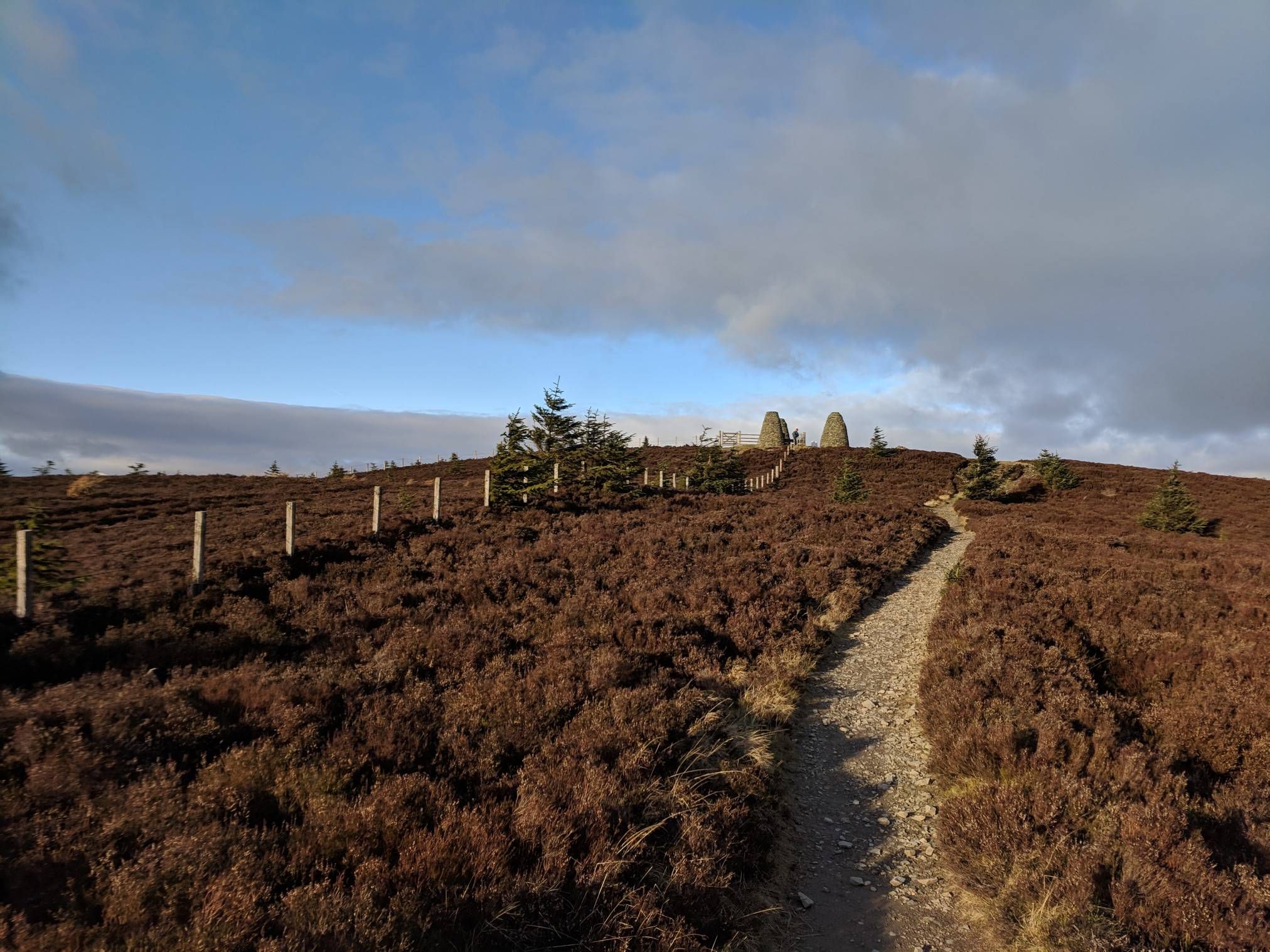
The Central Belter — Gravel trails of the coast and Cairngorms
Cycling around Banknock, Haggs And Longcroft
Road Cycling Routes around Banknock, Haggs And Longcroft
MTB Trails around Banknock, Haggs And Longcroft

Gravel biking around Banknock, Haggs And Longcroft
Hiking around Banknock, Haggs And Longcroft
Other adventures around Banknock, Haggs And Longcroft

Tips from the Community

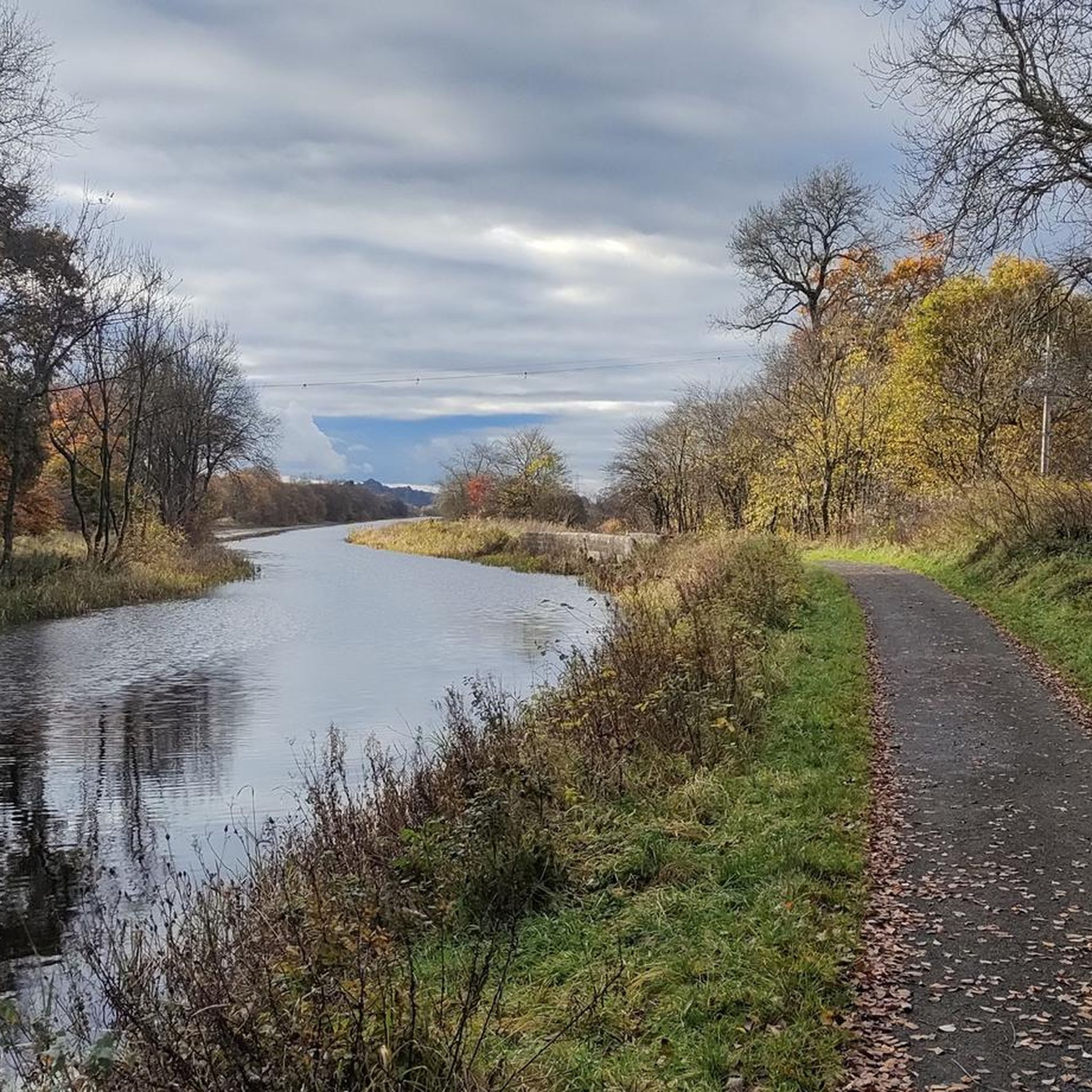
The Forth & Clyde Canal crosses Scotland from the Forth to the Clyde. The whole length has a tow path which is always reliable, well surfaced traffic free running. It's flat and there are often bikes and walkers, but the running is excellent. This section is a nice distance from the Falkirk Wheel so you can make a nice length loop or out and back.
0
0

Scenic and the miles disappear quickly on this great cycling path.
1
0

Watch our for the Buggy Brigade when near human habitation! ;-)
0
0
Spacious tarmac path, this section being amongst the best.
1
0

Very easy riding with some great views on the Falkirk wheel
0
0
Frequently Asked Questions
How many running routes are available in Banknock, Haggs, and Longcroft?
The region offers a wide selection of running trails, with over 340 routes mapped on komoot. These range from easy, flat paths to more challenging routes with significant elevation gain, catering to all fitness levels.
Are there running routes suitable for beginners or those looking for an easy jog?
Yes, there are plenty of options for easy jogs. The extensive canal networks, including the Forth & Clyde Canal and the Union Canal, provide miles of flat, well-maintained, and traffic-free towpaths. These are ideal for relaxed runs or beginners.
Can I find routes with historical landmarks in the area?
Absolutely. Sections of the historic Roman Antonine Wall traverse the landscape, offering a unique backdrop for your run. For example, the Antonine Wall loop from Castlecary follows this ancient route. You can also explore trails near the Croy Hill Roman Fort for historical insights and views.
Are there any family-friendly running trails in Banknock, Haggs, and Longcroft?
Many of the flatter canal paths are suitable for families, offering safe, traffic-free environments. Woodland trails like the Chacefield Wood loop from Denny also provide a pleasant, sheltered experience that can be enjoyed by families.
What are the options for dog-friendly running routes?
The region is generally very dog-friendly. Canal towpaths and many woodland trails, such as those in Chacefield Wood, are popular choices for running with dogs. Always ensure your dog is under control and check for any specific local signage regarding leash requirements, especially near livestock or protected areas.
Are there any circular running routes available?
Yes, many routes in the area are designed as loops. For instance, the Island Wood loop from Bonnybridge and the Drumbowie Reservoir loop from Denny are popular circular options, allowing you to start and finish at the same point.
Where can I find scenic viewpoints or natural attractions along the running trails?
The area boasts several scenic spots. You can find excellent views from the Croy Hill Roman Fort, offering panoramas over the Kilsyth Hills and the Firth of Forth. For a more challenging run with rewarding vistas, consider routes leading to Meikle Bin Summit in Carron Valley Forest.
What are the parking options for accessing running routes?
Parking is generally available at various access points along the canal paths and near popular woodland trails. For specific routes like the Chacefield Wood loop from Denny, you'll often find designated parking areas nearby. It's advisable to check the route details on komoot for specific parking information.
Is public transport available to reach the running trails?
Yes, public transport can provide access to many trailheads, particularly those along the canal networks which often pass through or near towns and villages. The Falkirk Wheel, a major landmark, is also accessible by public transport and offers direct access to canal paths.
What is the best time of year for running in this region?
The region offers good running conditions year-round. Spring and autumn provide pleasant temperatures and beautiful scenery, especially in the woodlands. Summer is great for longer daylight hours, while winter runs can be invigorating, though some trails might be muddy or icy. Canal paths tend to be well-maintained regardless of the season.
Are there any cafes or pubs near the running routes for refreshments?
Yes, you'll find various amenities, especially along the canal paths and in nearby towns. The Falkirk Wheel, a popular attraction, has a café where you can refuel. Many villages and towns adjacent to the trails also offer pubs and cafes for refreshments after your run.
What do other runners say about the trails in Banknock, Haggs, and Longcroft?
The running routes in Banknock, Haggs, and Longcroft are highly rated by the komoot community, with an average score of 3.9 stars from over 15 reviews. Runners often praise the diverse landscape, from the flat canal towpaths to the challenging woodland trails, and the unique historical elements like the Antonine Wall.
Are there any longer distance running trails for experienced runners?
Certainly. For those seeking a longer challenge, routes like the Island Wood loop from Bonnybridge, at 10.6 miles (17.0 km), offer a substantial run through varied terrain. The Antonine Wall loop from Castlecary is another difficult 10.0-mile (16.2 km) option.
Most popular routes around Banknock, Haggs And Longcroft
Most popular attractions around Banknock, Haggs And Longcroft

Get inspired with the komoot mobile app


Explore more
Browse the best Running Trails & Routes in other regions.
