The best road cycling routes around Graineter Wald
4.9
(40)
1,226
riders
90
rides
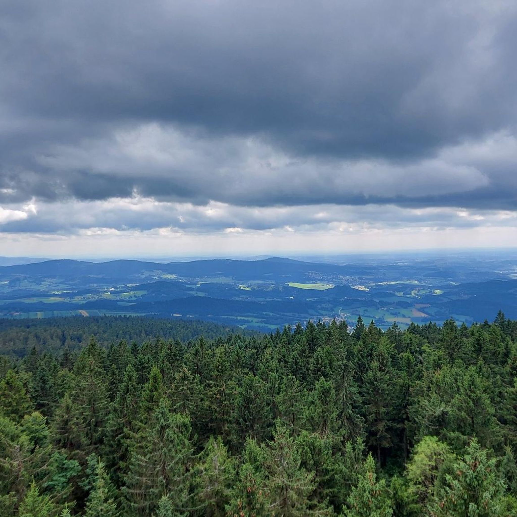
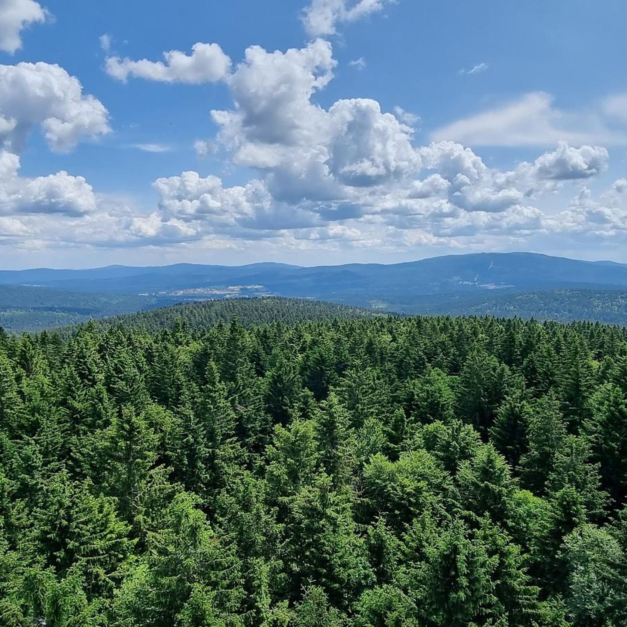
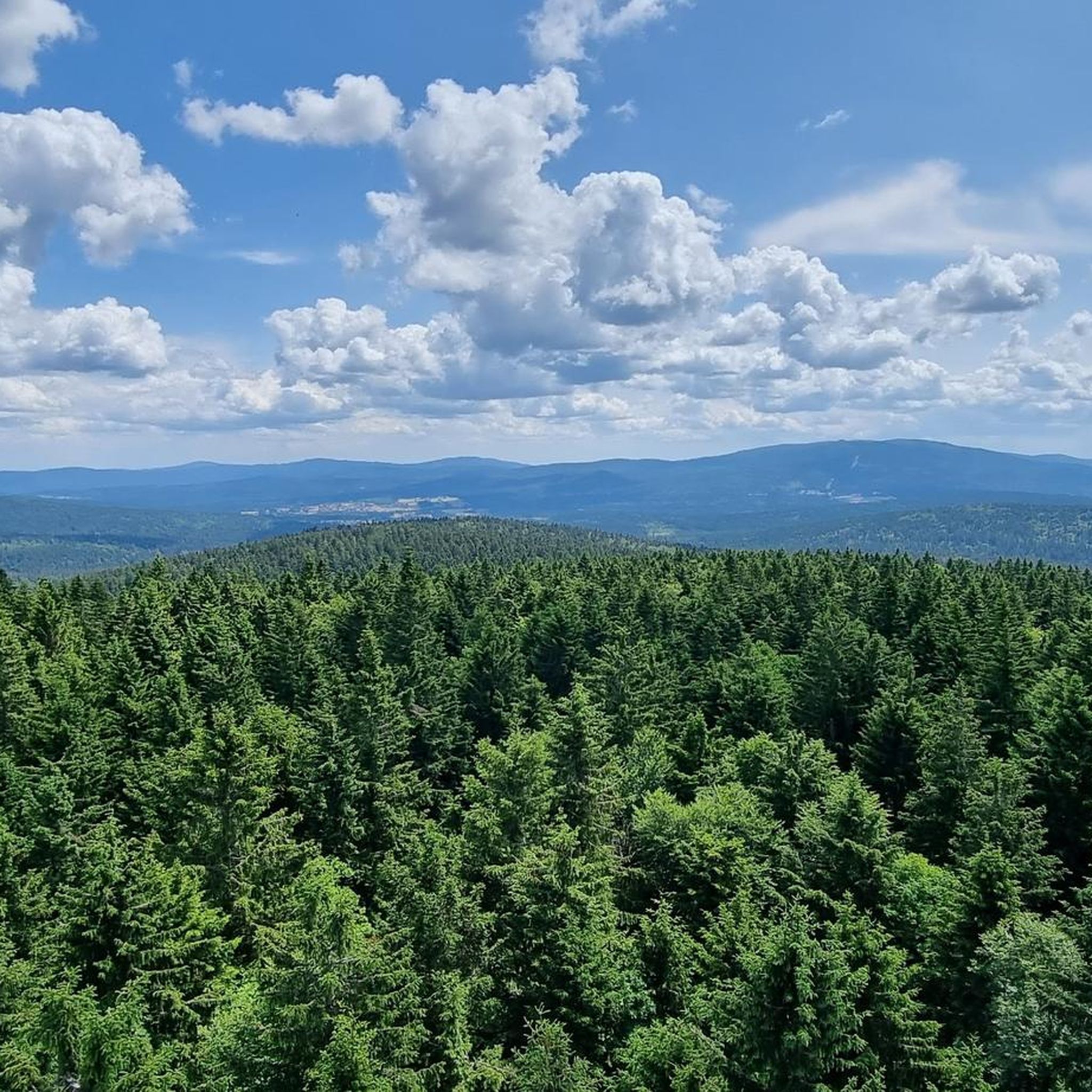
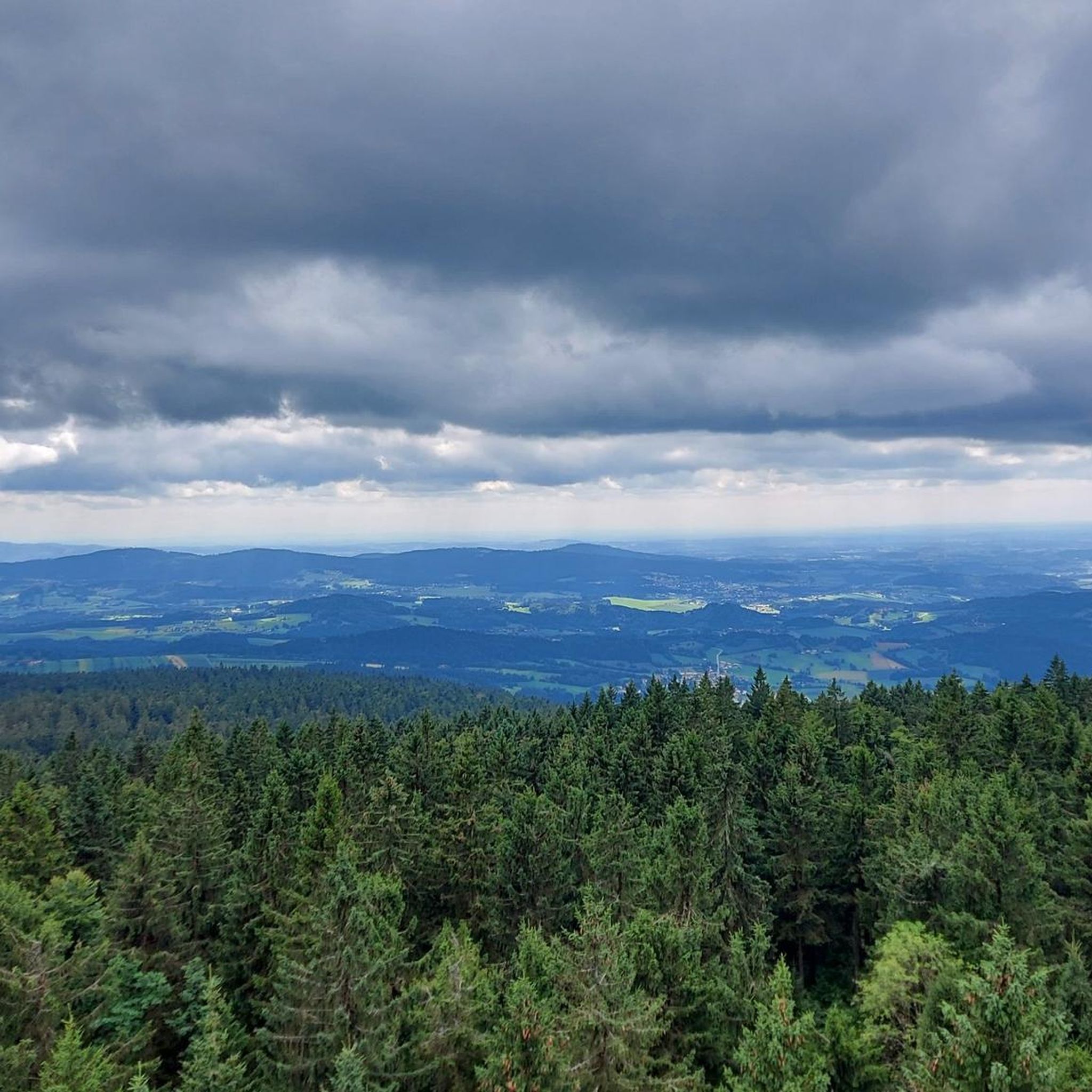
Road cycling routes around Graineter Wald traverse a landscape characterized by dense forests, rolling hills, and river valleys in the Bavarian Forest region. The area features varied terrain, including ascents to mountain inns and routes alongside natural lakes. Road cyclists can expect a mix of challenging climbs and scenic stretches through natural park areas.
Best road cycling routes around Graineter Wald
- The most popular road cycling route is Dreisessel Rock – Dreisesselhaus Mountain Inn loop from Haidmühle celnice, a 38.5 miles (62.0 km) trail that takes 3 hours 15 minutes to complete. This difficult route includes significant elevation gain towards a mountain inn.
- Another top favourite among local road cyclists is Mauth bathing lake – National Park - Lusen Center loop from Hinterschmiding, a difficult 30.6 miles (49.3 km) path. This route offers views of a bathing lake and passes through a national park.
- Local road cyclists also love the Freudensee – Summit Viewfinder Monument loop from Böhmzwiesel, a 36.4 miles (58.7 km) trail leading through forested areas and past a lake, often completed in about 3 hours 8 minutes.
- Road cycling around Graineter Wald is defined by dense forests, rolling hills, and river valleys. The network offers options for different ability levels, from moderate to difficult routes.
- The routes in Graineter Wald are highly rated by the komoot community with an average score of 4.8 stars from over 40 reviews. More than 1000 road cyclists have used komoot to explore Graineter Wald's varied terrain.
Last updated: July 5, 2026
5.0
(3)
42
riders
62.7km
03:18
1,050m
1,050m
Hard road ride. Very good fitness required. Some segments of this route may be unpaved and difficult to ride.
5.0
(1)
26
riders
Hard road ride. Very good fitness required. Some segments of this route may be unpaved and difficult to ride.

Sign up for free
23
riders
58.7km
03:08
1,010m
1,010m
Hard road ride. Very good fitness required. Some segments of this route may be unpaved and difficult to ride.
5.0
(1)
24
riders
58.3km
03:02
1,020m
1,020m
Hard road ride. Very good fitness required. Mostly well-paved surfaces and easy to ride.
15
riders
58.8km
02:53
770m
770m
Moderate road ride. Good fitness required. Some segments of this route may be unpaved and difficult to ride.
Get access to more routes and recommendations from other explorers.
Sign up for free
Already have an account?
Our route recommendations are based on thousands of hikes, rides, and runs completed by other people on komoot.
Start today with a free account
Your next adventure awaits.
Login or Signup

Tips from the Community

Beautiful area, also very beautiful to look at in the snow in winter.
0
0

The Rosenberger Estate is the perfect starting and finishing point for the circular tour: ample parking, a peaceful beginning – and at the end of the tour, you'll arrive right back where Stifter once found inspiration. www.neureichenau.de
1
0
The border crossing between Bavaria and Austria. Here you cross the border almost unnoticed – a quiet moment between two countries. A beautiful spot for a photo and a deep breath.
0
0
The Schönanger steam locomotive is a nostalgic photo opportunity: the old engine is a reminder of the time when wood and glass shaped the region. A surprising moment by the roadside that hardly any cyclist forgets.
0
0
The parish church of Hinterschmiding surprises with its clean, modern architecture from the 1970s and a bright, airy atmosphere that promotes tranquility. A brief stop is worthwhile – whether to pause for reflection in the church or to take a photo of the striking ensemble.
0
0

directly in the town center
0
0

Haidmühle crossing to the Czech Republic
4
0
Frequently Asked Questions
How many road cycling routes are available in Graineter Wald?
There are nearly 100 road cycling routes around Graineter Wald, offering a wide range of options for different skill levels. The komoot community has explored these routes over 1000 times, with an average rating of 4.8 stars.
Are there easy road cycling routes in Graineter Wald?
While many routes in Graineter Wald are moderate to difficult, there is at least one easy road cycling route available. The region's terrain is characterized by rolling hills and significant elevation changes, so even moderate routes can present a good challenge.
What are the typical distances and elevations for road cycling routes in Graineter Wald?
Road cycling routes in Graineter Wald typically range from 30 to 40 miles (48 to 64 km) in distance. You can expect significant elevation gains, often exceeding 2,500 feet (760 meters) per ride, as routes frequently traverse hilly terrain and lead to mountain inns.
How long do road cycling tours usually take in Graineter Wald?
Most road cycling tours in Graineter Wald, especially the moderate to difficult ones, typically take between 3 to 4 hours to complete. For example, the Dreisessel Rock – Dreisesselhaus Mountain Inn loop from Haidmühle celnice is a 38.5-mile route that takes about 3 hours and 15 minutes.
What kind of terrain can I expect on road cycling routes in Graineter Wald?
The terrain in Graineter Wald is diverse, featuring dense forests, rolling hills, and river valleys. Cyclists will encounter a mix of challenging climbs and scenic stretches, often passing through natural park areas and alongside lakes. The region is part of the Bavarian Forest, known for its varied and sometimes demanding landscapes.
Are there any circular road cycling routes in Graineter Wald?
Yes, many road cycling routes in Graineter Wald are designed as loops, allowing you to start and end at the same point. Examples include the Mauth bathing lake – National Park - Lusen Center loop from Hinterschmiding and the Freudensee – Summit Viewfinder Monument loop from Böhmzwiesel.
What can I see along the road cycling routes in Graineter Wald?
Along the routes, you can explore various natural and man-made attractions. Notable natural monuments include Dreisessel Rock and the Stone Sea at Plöckenstein. You might also pass by beautiful lakes such as Erlauzwieseler Reservoir or Buchberger Reservoir. The Tripoint Monument (Germany–Austria–Czech Republic) is another interesting landmark.
Are there any scenic viewpoints along the road cycling routes?
Many routes offer scenic viewpoints, especially those that climb to higher elevations. The Dreisessel Rock – Dreisesselhaus Mountain Inn loop from Haidmühle celnice, for instance, leads to a mountain inn with panoramic views. The region's rolling hills and dense forests naturally provide numerous picturesque vistas.
What is the best time of year for road cycling in Graineter Wald?
The best time for road cycling in Graineter Wald is typically from late spring through early autumn (May to October). During these months, the weather is generally milder, and the roads are clear of snow and ice, allowing for optimal cycling conditions to enjoy the forested landscapes and open views.
Are there any cafes or pubs along the road cycling routes in Graineter Wald?
Yes, some routes pass by mountain inns or villages where you can find places to refuel. For example, the Dreisessel Rock – Dreisesselhaus Mountain Inn loop from Haidmühle celnice leads directly to a mountain inn. You might also find a Lakeside Restaurant near some of the reservoirs.
What do other road cyclists enjoy most about road cycling in Graineter Wald?
The komoot community highly rates road cycling in Graineter Wald, with an average score of 4.8 stars from over 40 reviews. Cyclists often praise the varied terrain, the challenging climbs, and the beautiful natural scenery, especially the dense forests and views of the Bavarian Forest region.
Are there routes that cross international borders?
Yes, given Graineter Wald's location near the German, Austrian, and Czech borders, some routes offer cross-border experiences. The Haidmühle Border Crossing – Vltava River at Nová Pec loop from Haidmühle celnice is an example of a route that takes you across the border into the Czech Republic.
Most popular routes around Graineter Wald
Most popular attractions around Graineter Wald

Get inspired with the komoot mobile app


Explore more
Browse the best Road cycling routes in other regions.
