The best walks and hikes around Gralla
4.5
(1369)
8,159
hikers
420
hikes
Hiking around Gralla, Austria, offers diverse landscapes from serene riverbanks to rolling hills and vineyards. The region is characterized by the Sulm and Mur Rivers, providing gentle paths, alongside elevated viewpoints like Grallaberg and Demmerkogel. These natural features create varied terrain suitable for different hiking experiences, often passing through green meadows and picturesque vineyards.
Best hiking trails around Gralla
- The most popular hiking route is Silberberg Viewing Platform – Kreuzkogel lookout tower loop from Leibnitz, a 7.3 miles (11.7 km) trail that takes 3 hours 22 minutes to complete. This moderate route features a significant elevation gain.
- Another top favourite among local hikers is Kreuzkogel lookout tower – Seggau Castle loop from Leibnitz, a moderate 5.6 miles (9.0 km) path. This route includes varied terrain and offers views of the surrounding area.
- Local hikers also love the Kreuzkogel lookout tower – Silberberg Viewing Platform loop from Kaindorf an der Sulm, an 8.4 miles (13.4 km) trail leading through rolling hills and past lookout points, often completed in about 3 hours 45 minutes.
- Hiking around Gralla is defined by riverine landscapes, vineyards, and elevated viewpoints, with well-marked trails offering options for different ability levels.
- The routes in Gralla are highly rated by the komoot community with an average score of 4.5 stars from over 1200 reviews. More than 7900 hikers have used komoot to explore Gralla's varied terrain.
Last updated: October 11, 2026
4.9
(28)
97
hikers
Moderate hike. Good fitness required. Mostly accessible paths. Sure-footedness required.
5.0
(3)
15
hikers
Easy hike. Great for any fitness level. Easily-accessible paths. Suitable for all skill levels.

4.8
(4)
14
hikers
7.84km
01:59
20m
20m
Easy hike. Great for any fitness level. Easily-accessible paths. Suitable for all skill levels.
13
hikers
6.90km
01:45
10m
10m
Easy hike. Great for any fitness level. Easily-accessible paths. Suitable for all skill levels.
5.0
(3)
7
hikers
10.9km
02:46
30m
30m
Moderate hike. Good fitness required. Easily-accessible paths. Suitable for all skill levels.
Get access to more routes and recommendations from other explorers.
Already have an account?
Our route recommendations are based on thousands of hikes, rides, and runs completed by other people on komoot.
Start today with a free account
Your next adventure awaits.
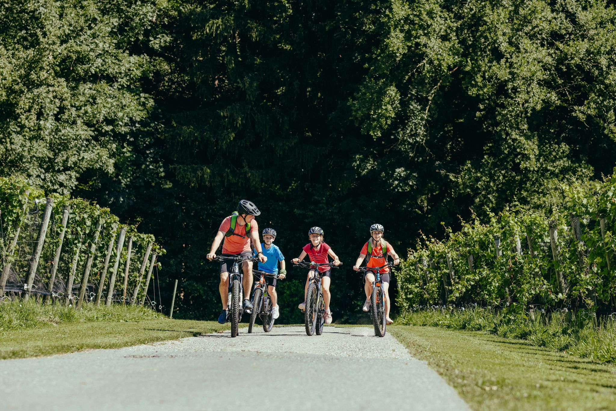
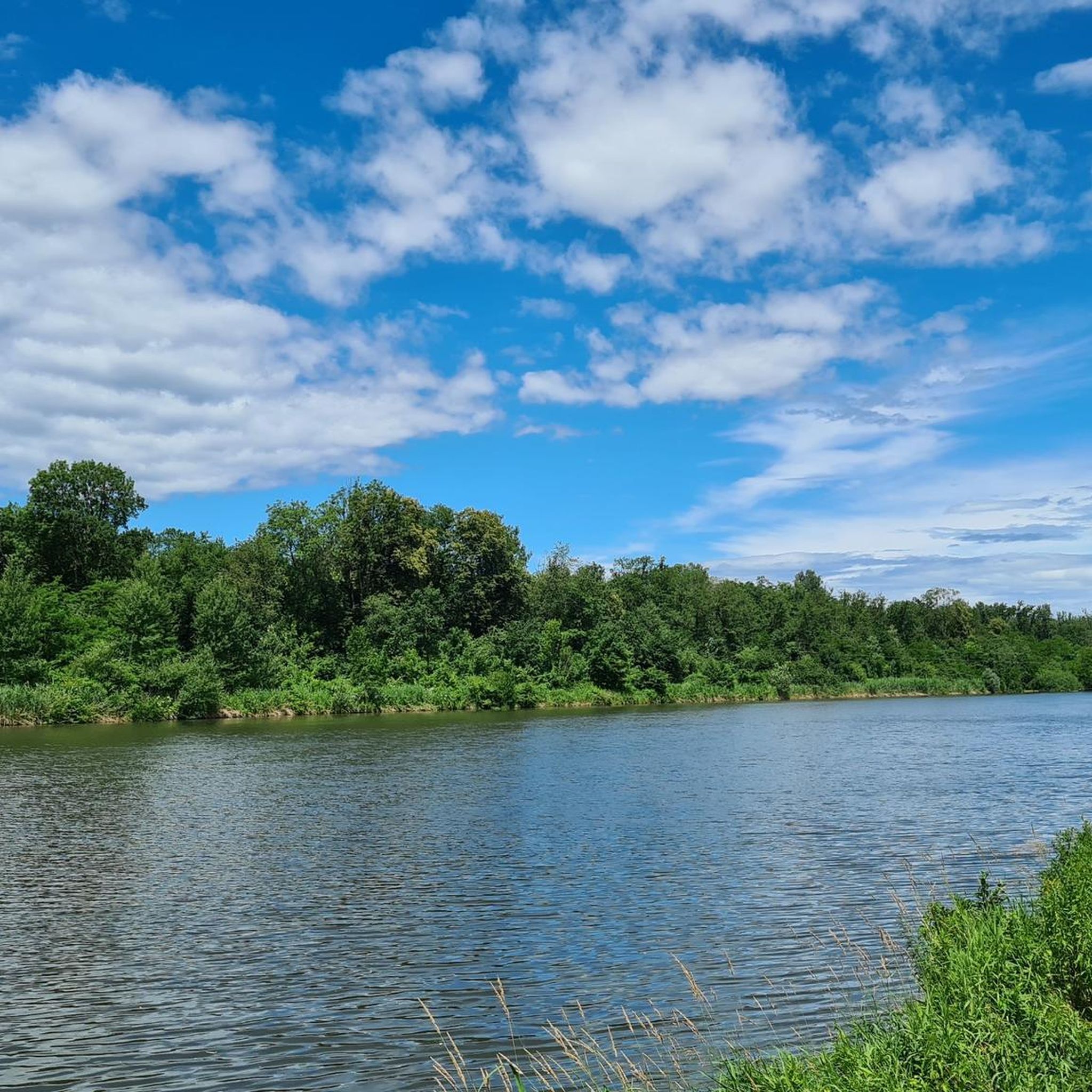
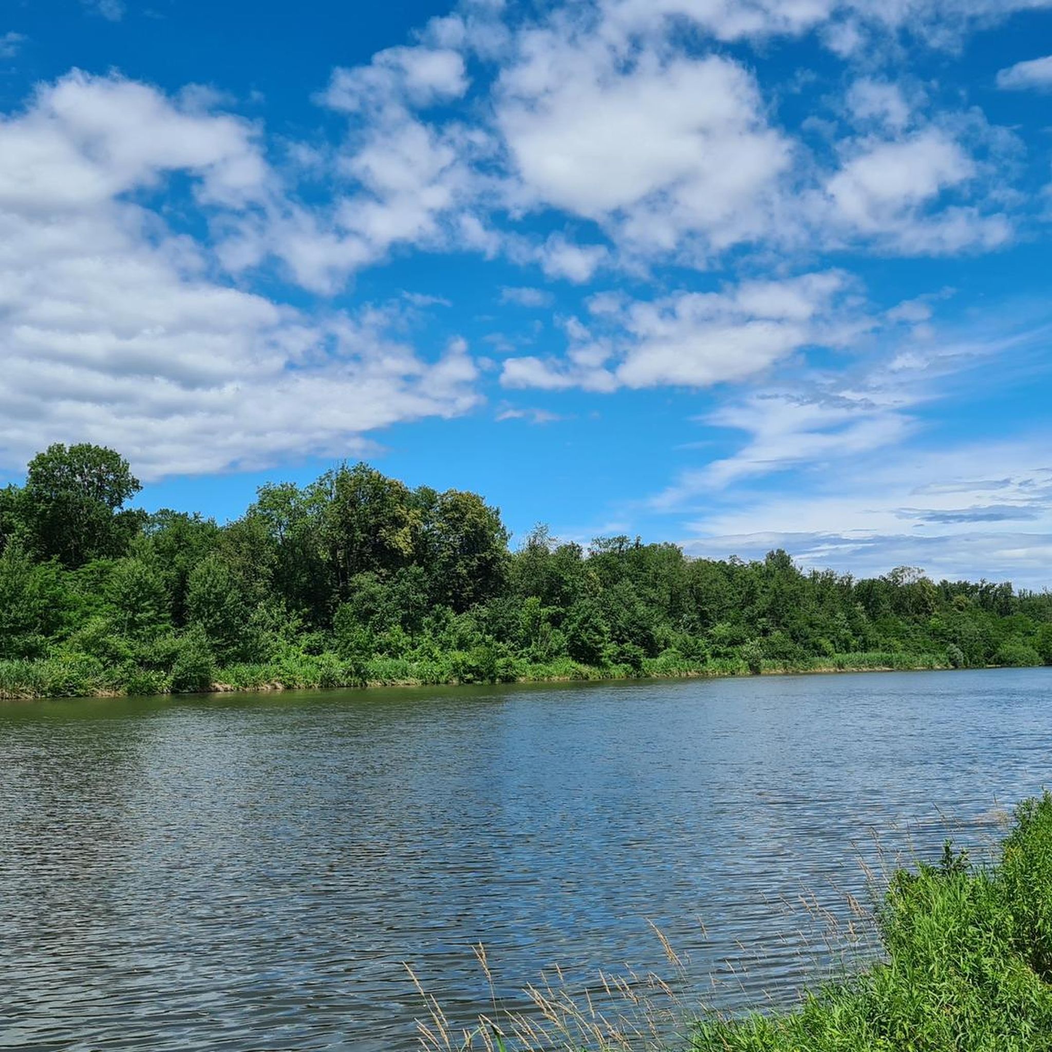
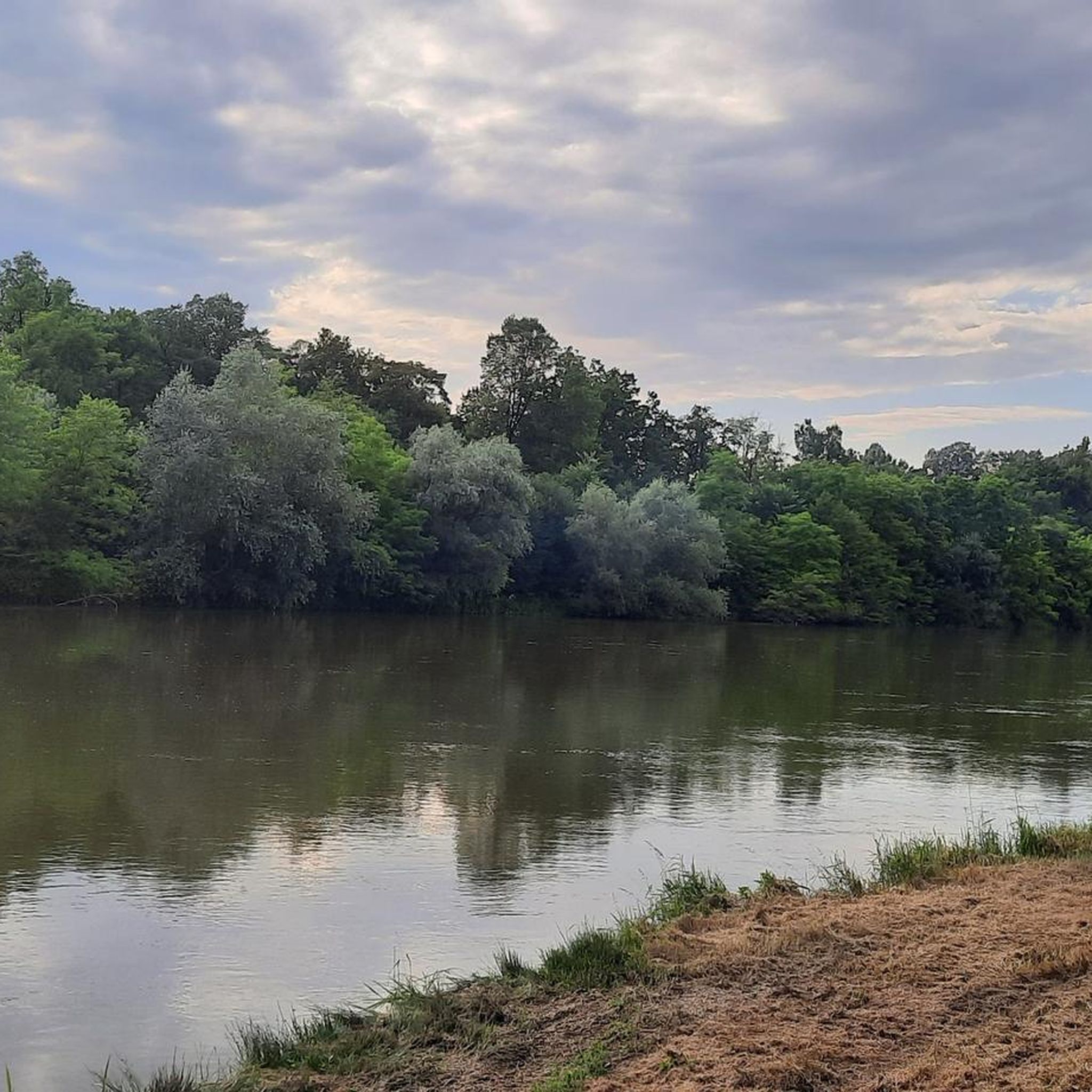
Other adventures around Gralla

Tips from the Community

Visitor center, museum, wine shop – a visit is very worthwhile. Here you will find more information and opening hours: https://www.besucherzentrum-grottenhof.at/.
1
0
The themed trail at the Education Centre for Fruit and Winegrowing in Silberberg near Leibnitz leads you through the vineyards and offers you impressive views of the region. At more than 30 information stations, you can learn interesting facts about fruit and winegrowing in Styria.
2
0

Wonderful views, easy to climb, few stairs
0
0

Very beautiful chapel
0
0


Apparently you can also see otters here, we probably saw tracks in the mud, but weren't sure
0
0
This hike is most beautiful in September to October, because that is the grape harvest, and it is a wonderful experience if you can go through the Silberberg wine school.
1
0

Located directly on the Mur cycle path. Unfortunately no drinking water fountain
0
0
Frequently Asked Questions
What types of hiking trails can I find around Gralla?
Gralla offers a diverse range of hiking trails, from gentle paths along the Sulm and Mur Rivers to routes through rolling hills and picturesque vineyards. You can expect varied terrain, including green meadows and elevated viewpoints like Grallaberg and Demmerkogel.
How many hiking trails are available around Gralla?
There are over 400 hiking trails around Gralla. This includes nearly 200 easy routes, over 200 moderate trails, and a few more challenging options, ensuring there's something for every skill level.
Are there any easy or family-friendly hikes in Gralla?
Yes, Gralla has many easy and family-friendly options. The trails along the Sulm River are particularly suitable for families due to their gentle nature and shorter length. An easy option is the Grottenhof Nature Park Centre loop from Bezirk Leibnitz, which is just over 5 km long.
What are some notable natural features or landmarks to see while hiking in Gralla?
While hiking in Gralla, you can explore several natural features and landmarks. The region is characterized by the Sulm and Mur Rivers, and you might encounter the Steinerne Wehr Sulm River Bath. Elevated viewpoints like Grallaberg and Demmerkogel offer panoramic views. You can also visit the Birdwatching spot at the reservoir or the Confluence of the Lassnitz and the Sulm.
Are there any circular hiking routes in Gralla?
Yes, many trails in Gralla are circular. Popular options include the Silberberg Viewing Platform – Kreuzkogel lookout tower loop from Leibnitz, which is 11.7 km, and the Kreuzkogel lookout tower – Seggau Castle loop from Leibnitz, a 9 km route. Another great choice is the Kreuzkogel lookout tower – Silberberg Viewing Platform loop from Kaindorf an der Sulm, spanning 13.4 km.
What is the best time of year to go hiking in Gralla?
Spring is particularly recommended for hiking in Gralla when nature is in full bloom, especially around Sulmsee. However, many trails, such as the Sulmsee Circular Hiking Trail, are accessible year-round. Summer mornings are ideal for sunrise hikes from Demmerkogel.
What do other hikers enjoy most about hiking in Gralla?
The area is highly rated by the komoot community, with an average score of 4.5 stars from over 1200 reviews. Hikers often praise the diverse landscapes, from serene riverbanks to rolling hills and vineyards, and the well-marked trails that cater to various fitness levels.
Are there any viewpoints offering panoramic views in Gralla?
Yes, Gralla offers several excellent viewpoints. The Grallaberg Rundwanderweg leads to the summit of Grallaberg, providing breathtaking panoramic views. The nearby Demmerkogel also offers magnificent vistas of the Styrian hill country and vineyards. The Kreuzkogel Lookout Tower is another popular spot for expansive views.
Can I bring my dog on the hiking trails in Gralla?
Many trails in Gralla are suitable for dogs, especially the paths along the Sulm River and through the green meadows. It's always advisable to keep dogs on a leash, especially in areas with wildlife or near vineyards, and to check local regulations for specific routes.
How long do hikes in Gralla typically take?
Hike durations in Gralla vary widely depending on the route and your pace. Shorter, easy walks like the Bridge Over the Sulm loop from Leibnitz can take around 1.5 to 2 hours. Moderate routes, such as the 11.7 km Silberberg Viewing Platform – Kreuzkogel lookout tower loop, typically take around 3.5 hours.
Are there opportunities to observe local flora and fauna?
Absolutely. The trails, particularly around Sulmsee and the Mur River, provide excellent opportunities to observe the rich local flora and fauna. You might spot various native and migratory birds, especially at the Birdwatching spot at the reservoir.
Most popular attractions around Gralla

Get inspired with the komoot mobile app


Explore more
Browse the best Hikes in other regions.
