The 8 Most Amazing Peaks around Banton
Best mountain peaks around Banton, a municipality in Romblon, Philippines, are characterized by a mountainous and rocky topography, shaped by its volcanic origin. The island offers several peaks that provide scenic views and hiking experiences. These natural features offer expansive vistas of the surrounding waters and neighboring islands. Banton mountain trails provide opportunities for exploration and appreciation of the island's landscape.
Best mountain peaks around Banton
- The most popular mountain peaks is Meikle Bin Summit, a viewpoint that offers…
Last updated: July 2, 2026
Meikle Bin Summit
Highlight • Viewpoint
Tip by

Croy Hill Roman Fort
Highlight • Viewpoint
Tip by

Sign up now to discover places like this
Get recommendations on the best single tracks, peaks, & plenty of other exciting outdoor places.
Sign up for free
Cort-ma-Law Summit
Highlight • Viewpoint
Tip by

Lewis Hill Trig Point
Highlight • Viewpoint
Tip by

Lecket Hill
Highlight • Summit
Tip by

Sign up for free to discover even more peaks around Banton.
Sign up for free
Already have an account?
Start today with a free account
Your next adventure awaits.
Login or Signup
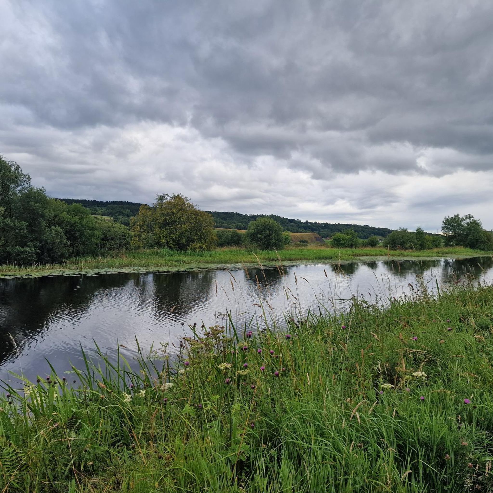
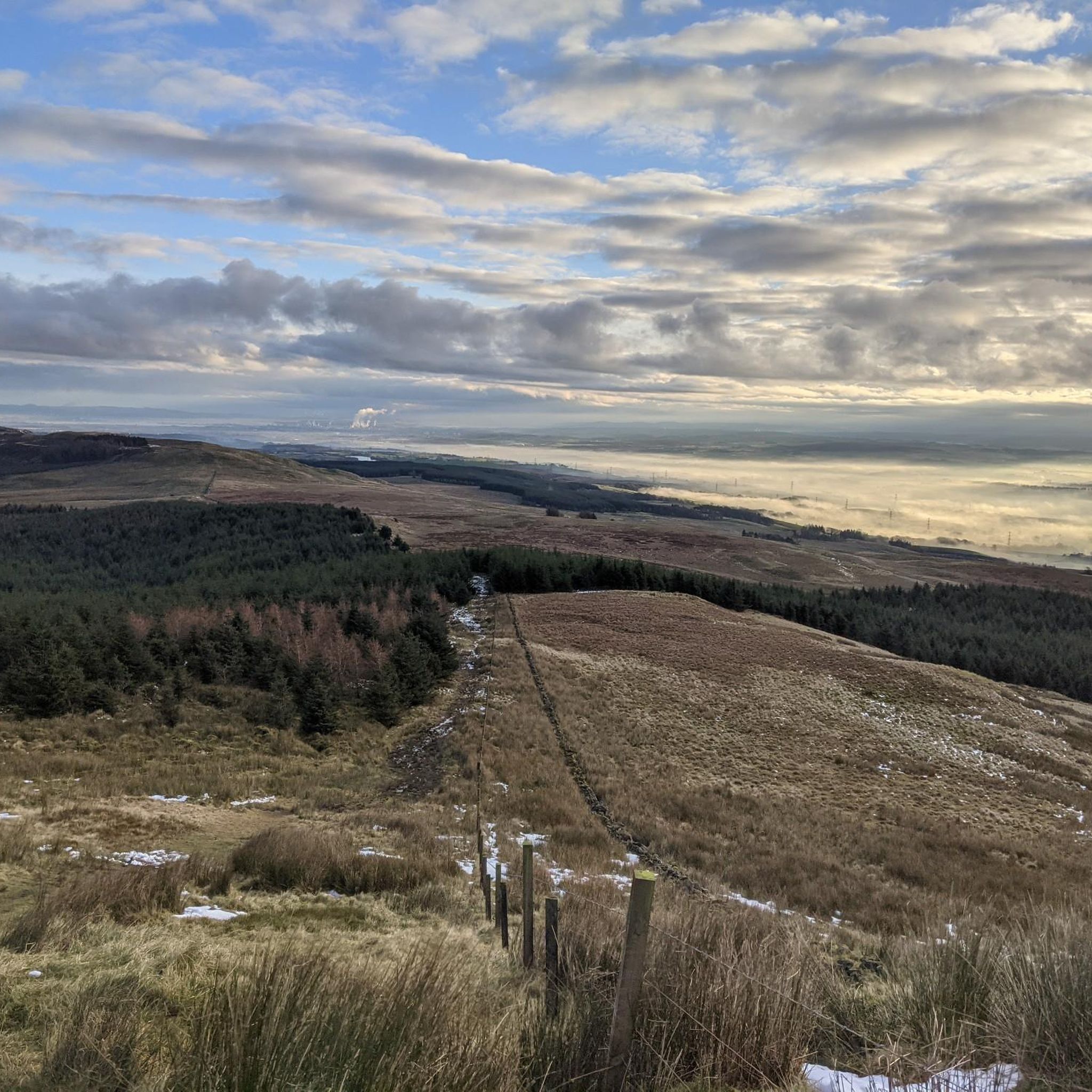
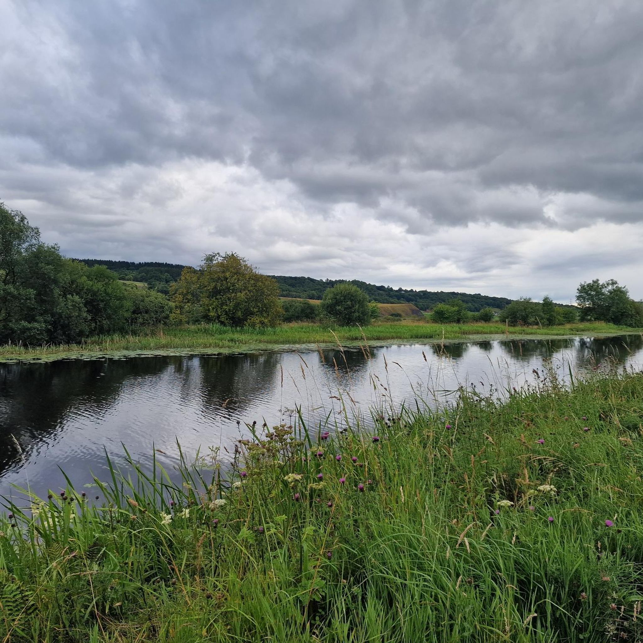
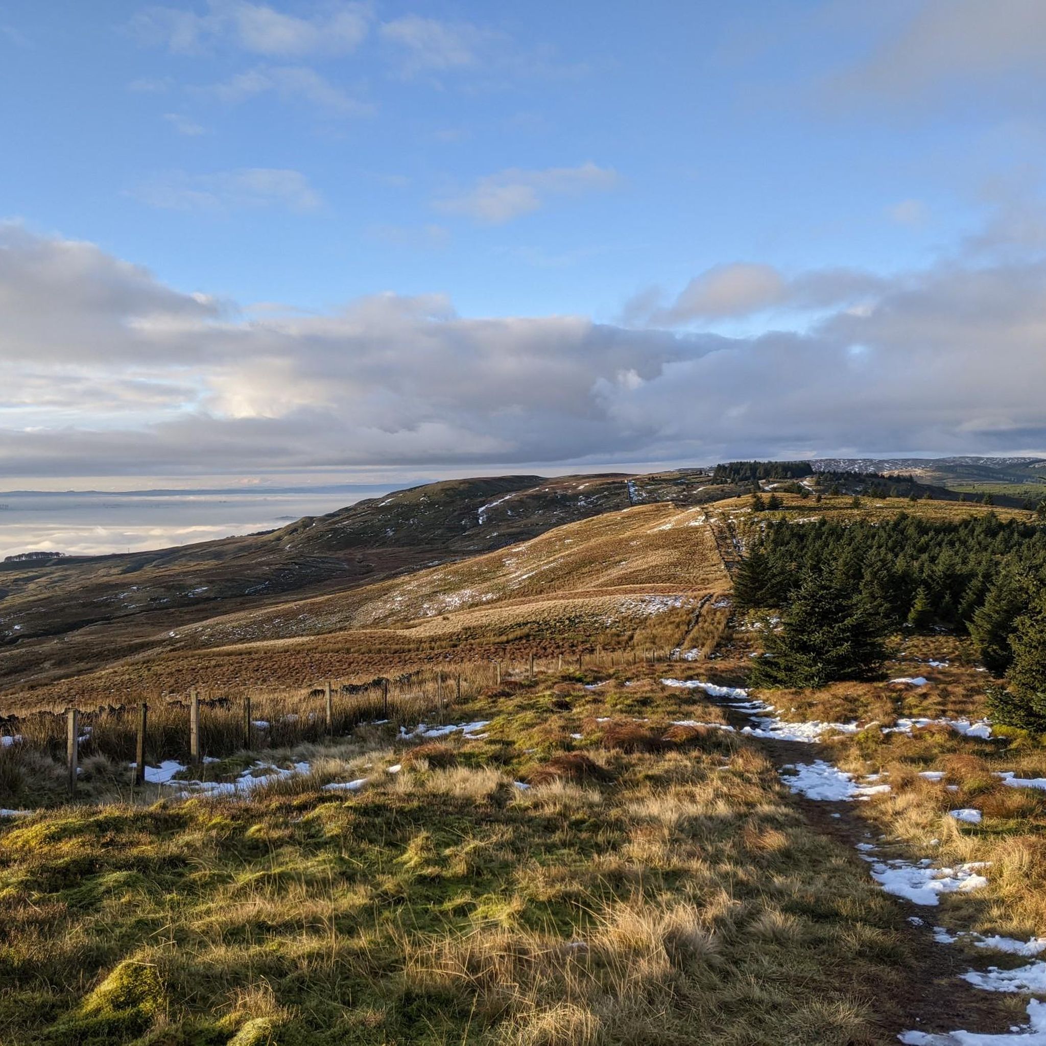

Tips from the Community

Lewis Hill is a gentle sumit on Sauchie Crag with lovely views to the central belt of Scotland. Part of a good circular walk around the North Third Reservoir.
0
0

Croy Hill was a Roman fort,and probable temporary camp
0
0

An eastern outlier of the Campsie Fells encircled by the Carron Valley Forest. At 570m it's a good hill with a trig point and great views. A good short but steep run from the forest car parks in the north it can also be added to the Kilsyth Hills ridgeline when running from the Carron Valley Reservoir.
0
0
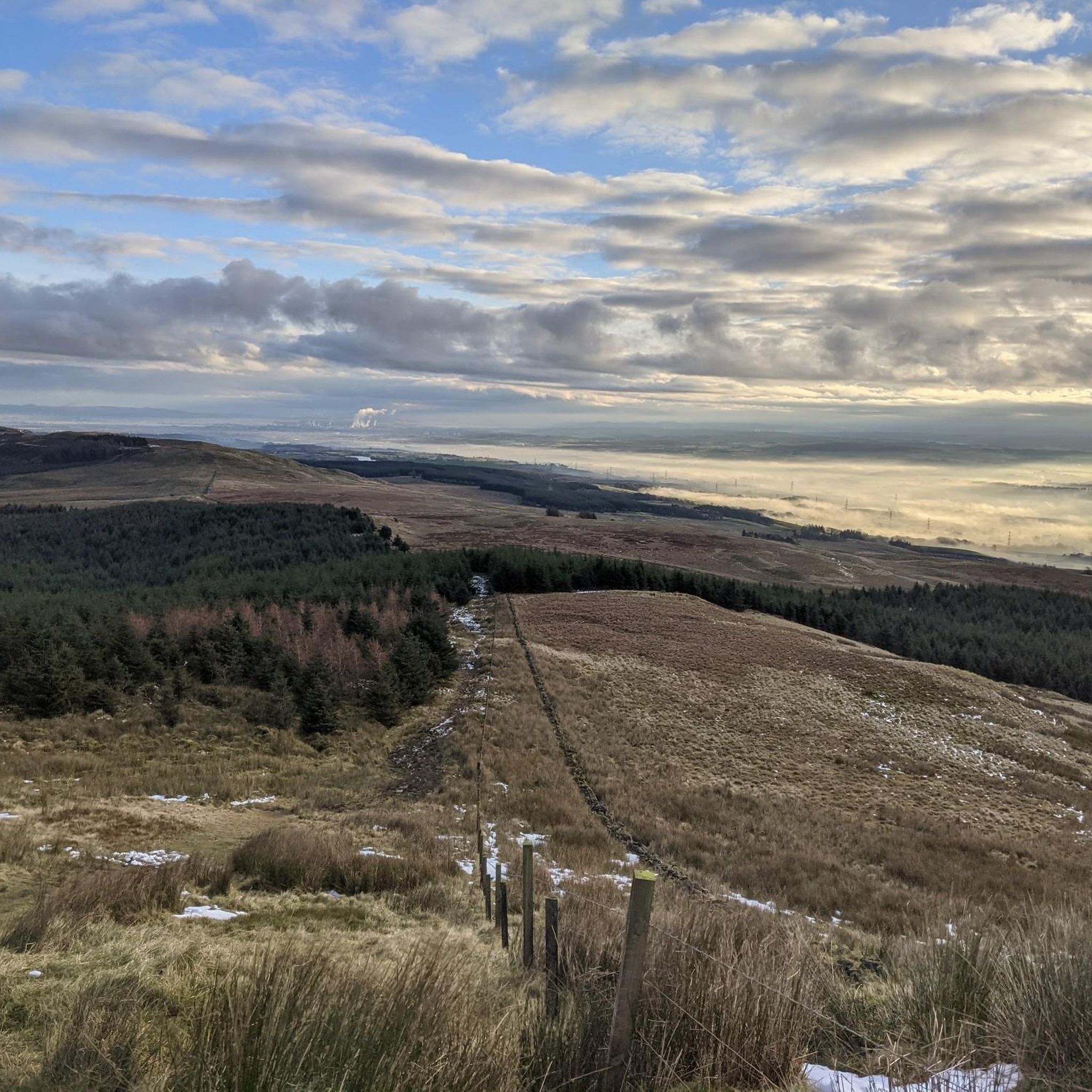
Meikle Bin at 570m is a great viewpoint within the Carron Valley Forest. It's a great summit that looks pointy and mountainous but it's not too hard and is popular with families. There is a trig point on top.
0
0

Agree with the comments about the bogginess across the top. Best to go up after a few days of dry weather (doesn't make much difference to the bog, but you can work your way around it). The views from all three peaks up here are fabulous and well worth the effort and (likely) soggy boots !!!
2
0

The track to Lecket Hill is boggy year round. Best tackled after a long dry spell or hard frost.
0
0
The path to Cort Ma Law is very boggy most of the year. Best tackled after a long dry spell or hard frost.
0
0

Love this spot at the Trig Point as it’s the end of the climb and the start of a mega shred along the cliff tops. Lovely spot above the reservoir and looking towards the Trossachs.
0
0
Frequently Asked Questions
What are the most prominent mountain peaks to explore in Banton?
Banton offers several notable mountain peaks, each with unique characteristics. Mount Ampongo is the highest point on the island, offering a challenging hike. Mount Guinsiba is known for its accessible ascent with concrete steps and fantastic sunrise views. Mayamig Peak provides a cooler, foggy experience with panoramic vistas from its grassy plateau. Additionally, Guyangan Hill is significant for its historical caves and scenic viewpoints.
Which mountain peaks in Banton are suitable for beginners or families?
For those seeking an easier ascent, Mount Guinsiba is highly recommended. It features a substantial number of concrete steps leading to a view deck, making it an accessible hiking destination for many visitors. While the Guyangan Cave System on Guyangan Hill requires a local guide for cave exploration, the Manamyaw Viewpoint on the hill offers stunning overlooks that are generally accessible.
Are there any challenging hiking experiences among Banton's peaks?
Yes, for experienced hikers, Mount Ampongo, as the highest peak on the island, offers a more challenging hiking experience. Its prominence suggests expansive vistas of the island and surrounding waters. Mayamig Peak also provides a more challenging yet scenic hike, especially given its cool and often foggy conditions.
What kind of panoramic views can I expect from Banton's mountain peaks?
From Banton's mountain peaks, you can expect breathtaking panoramic views of the Sibuyan Sea and neighboring islands. From Mount Guinsiba, you can see Banton town, Marinduque, Simara, Tablas, Romblon, and Sibuyan. Mayamig Peak offers views of Gakot Island (Bantoncillo), Simara, Tablas, and Marinduque. The Manamyaw Viewpoint on Guyangan Hill provides overlooks of Barangay Poblacion and the Sibuyan Sea, with visibility extending to Sibuyan, Romblon, Tablas, and Burias on clear days.
Are there any historical or cultural sites located on Banton's peaks?
Yes, Guyangan Hill is a significant historical site, home to the Guyangan Cave System. This system comprises seven caves, some of which were inhabited during pre-colonial times. Archaeological discoveries include ancient wooden coffins, human remains, and the Banton Cloth, the oldest known warp ikat textile in the Philippines. While most caves are closed for preservation, Silak Cave is accessible with a local guide.
What is the best time to visit Banton's mountains for hiking?
While specific seasonal recommendations for Banton's peaks are not detailed, generally, the dry season (typically November to May) is ideal for hiking in the Philippines to avoid heavy rains and muddy trails. Mount Guinsiba is particularly recommended for a sunrise hike for its fantastic views, and Mayamig Peak is known for its cool and foggy weather, offering a refreshing experience year-round.
What unique natural features can I find on Banton's mountain peaks?
Banton's peaks, shaped by the island's volcanic origin, feature a rugged and mountainous landscape. Mayamig Peak is characterized by its unique grassy plateau and cool, foggy weather, earning it the nickname 'Baguio City of Banton.' Guyangan Hill is a notable limestone formation that houses the ancient Guyangan Cave System.
What do visitors enjoy most about the mountain peaks around Banton?
Visitors appreciate the diverse experiences offered by Banton's peaks, from the challenging ascents of Mount Ampongo to the accessible, view-rich trails of Mount Guinsiba. The historical significance of Guyangan Hill and the unique cool climate of Mayamig Peak are also highly valued. The komoot community has shared more than 25 photos and 23 upvotes, highlighting the natural beauty and panoramic vistas.
What outdoor activities can I do near Banton's mountain peaks?
Beyond peak bagging, Banton offers various outdoor activities. You can explore numerous hiking trails, ranging from easy to moderate, that wind through the island's scenic landscapes. For more details on routes, check out the Hiking around Banton guide. Additionally, the island provides opportunities for road cycling and general cycling, with routes that allow you to discover the region's beauty. You can find more information in the Road Cycling Routes around Banton and Cycling around Banton guides.
Are there specific hiking trails recommended near Banton's peaks?
Yes, there are several hiking trails available. For an easy experience, consider routes like "Auchinstarry Marina – Silvanus Roman Head Sculpture loop" or "Silvanus Roman Head Sculpture – Auchinstarry Marina loop." If you're looking for a moderate challenge, the "Tomtain Summit View – View from Croy Hill Trig Point loop" is an option. You can find more detailed information and a wider selection of trails in the Hiking around Banton guide.
What makes Mount Ampongo a significant peak in Banton?
Mount Ampongo is the highest and most prominent mountain in Banton, standing at an elevation of 596 meters (or 607 meters, depending on the source). As the island itself is a dormant volcano, Mount Ampongo represents its volcanic origin and offers a challenging hiking experience for enthusiasts, promising expansive vistas of the island and surrounding waters from its summit.
Why is Mount Guinsiba a popular choice for hikers in Banton?
Mount Guinsiba is popular due to its accessibility and rewarding views. Located in Barangay Hambi-an, its ascent includes a substantial number of concrete steps, making it relatively easy to hike. It's particularly recommended for a sunrise hike, offering "fantastic views" of Banton town, the Sibuyan Sea, and neighboring islands like Marinduque, Simara, Tablas, Romblon, and Sibuyan from its view deck.
What is unique about Mayamig Peak, also known as Malamig Peak?
Mayamig Peak, situated in the mountainous heart of Banton, is unique for its cool and foggy weather, which has earned it the nickname "Baguio City of Banton." It features a distinctive grassy plateau and offers a more challenging yet scenic hiking experience. From its summit, visitors can enjoy panoramic views of surrounding islands, including Gakot Island (Bantoncillo), Simara Island, Tablas Island, and Marinduque Island.
Most popular attractions around Banton

Get inspired with the komoot mobile app


Explore more
See even more amazing summits around Banton with these guides:
