The best running trails around Craigmarloch
4.5
(4)
1,438
runners
26
runs
Jogging routes Craigmarloch traverse a landscape characterized by its village-like design, incorporating green spaces and recreational facilities. The area is situated around the Dullatur Golf Course, providing expansive, well-maintained landscapes. Historical elements include an ancient Roman Path, while the nearby Forth and Clyde Canal offers flat, continuous towpaths for running.
Best jogging routes around Craigmarloch
- The most popular jogging route is Hillhead Basin – Strone Plantation loop from Croy, a 14.2 miles (22.9 km) trail that takes 2 hours…
Last updated: July 5, 2026
5.0
(1)
59
runners
22.9km
02:23
150m
150m
Hard run. Very good fitness required. Mostly paved surfaces. Suitable for all skill levels.
63
runners
8.55km
00:54
40m
40m
Moderate run. Good fitness required. Mostly paved surfaces. Suitable for all skill levels.

Sign up for free
61
runners
31.1km
03:17
200m
200m
Hard run. Very good fitness required. Mostly paved surfaces. Suitable for all skill levels.
46
runners
38.7km
04:05
220m
220m
Hard run. Very good fitness required. Mostly paved surfaces. Suitable for all skill levels.
41
runners
12.6km
01:25
200m
200m
Moderate run. Good fitness required. Mostly paved surfaces. Suitable for all skill levels.
Get access to more routes and recommendations from other explorers.
Sign up for free
Already have an account?
Our route recommendations are based on thousands of hikes, rides, and runs completed by other people on komoot.
Start today with a free account
Your next adventure awaits.
Login or Signup
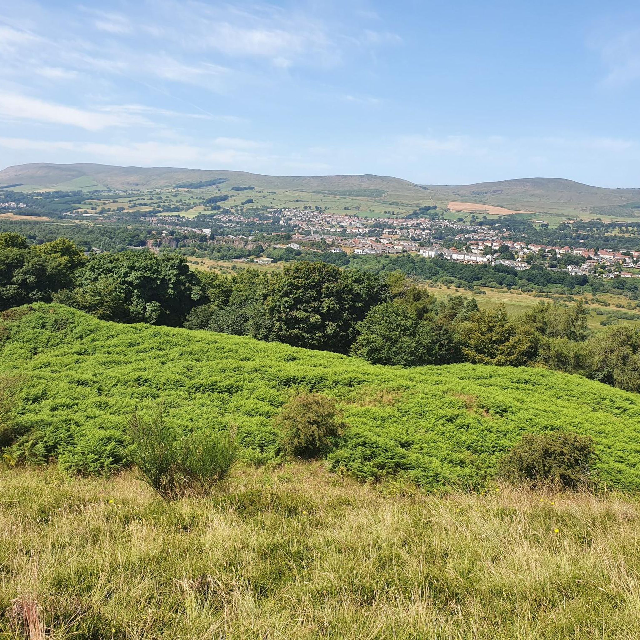
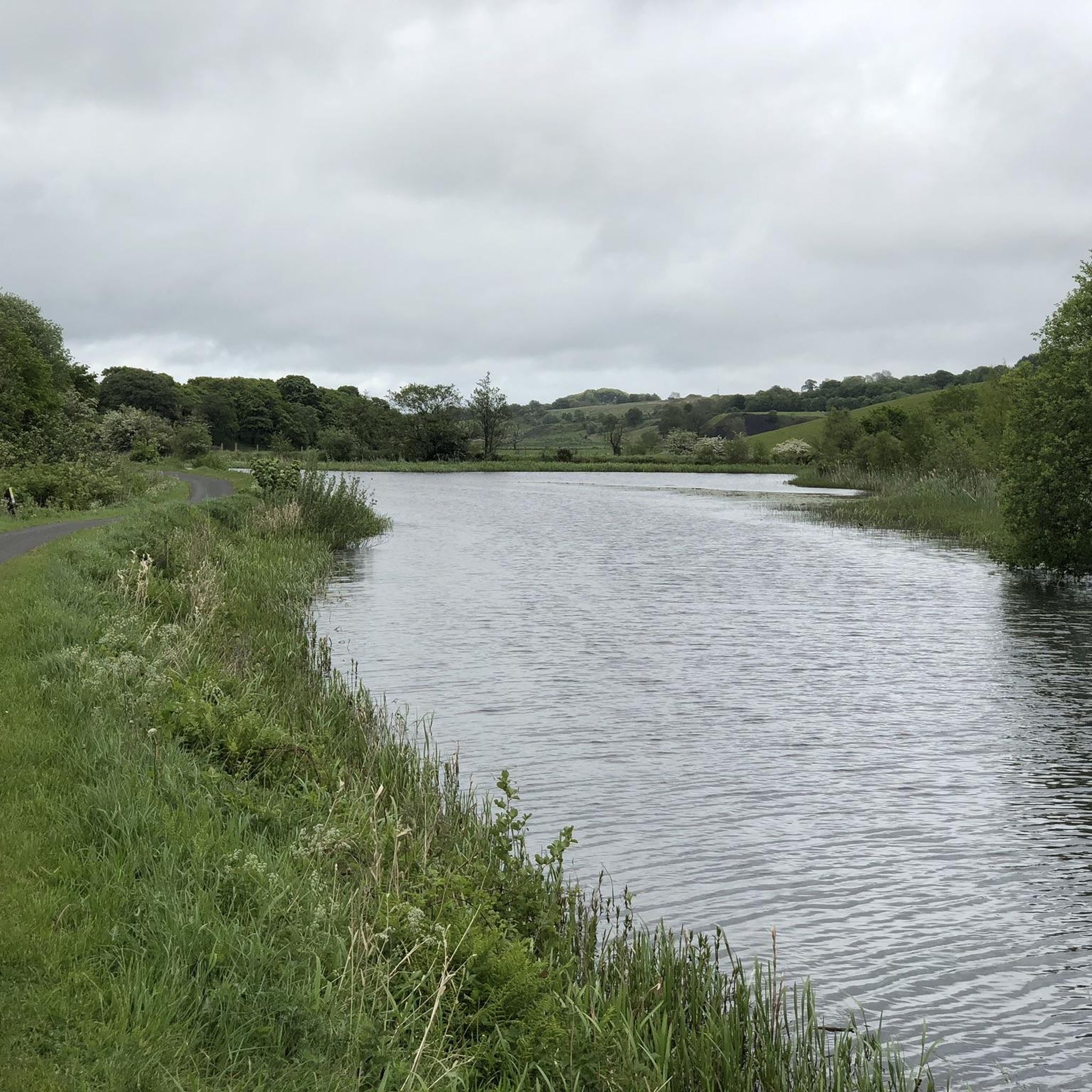

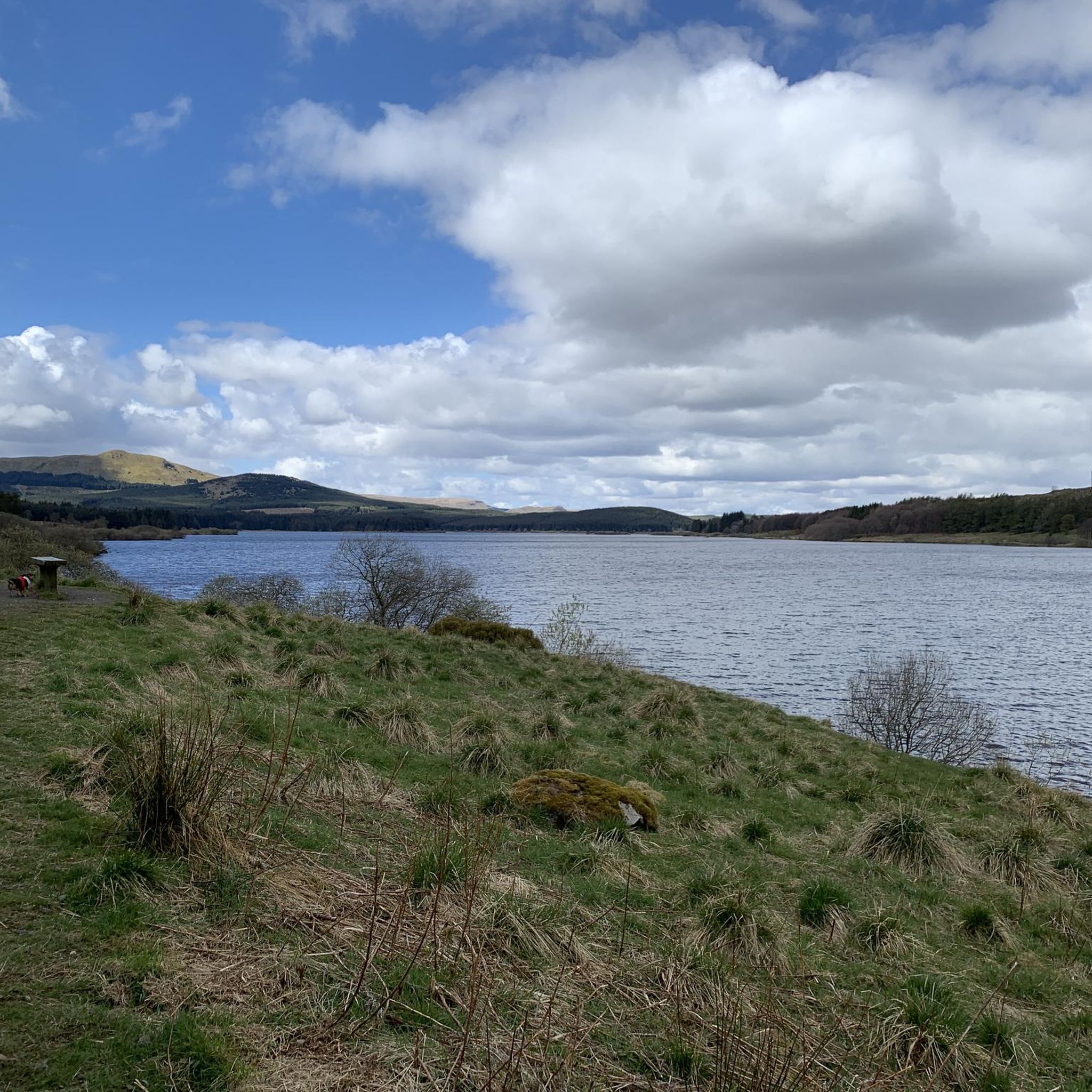

Tips from the Community

The location of the 'location' pin on the Bing map is incorrect
0
0
Great way to get across Southern Scotland, nice and flat although some parts can get very bumpy with tree roots
0
1


On a nice day it’s the perfect little spot to take a wee break and grab a bite or a drink. It’s situated right on the tow path so you don’t need to worry about finding it!
0
0

The Antonine Wall was a turf wall, built on stone foundations by the Romans, about 20 years after Hadrian's Wall. It stretches from coast to coast across the central belt of Scotland. Croy Hill was a minor fort on the wall.
0
0

Not only you'll have an interesting view of the Falkirk Wheel from this highlight, you'll also be able to relax on a bench and/or have a look at a map of the surroundings, including various paths and landmarks.
0
0
Frequently Asked Questions
What types of running paths can I expect in Craigmarloch?
Craigmarloch offers a variety of running paths, including well-maintained golf course pathways around Dullatur Golf Course, historical routes like an ancient Roman Path, and flat, continuous towpaths along the nearby Forth and Clyde Canal. The village design itself also provides pedestrian-friendly environments for local jogs.
Are there running routes suitable for beginners in Craigmarloch?
While Craigmarloch features a mix of moderate to difficult routes, there are options suitable for various fitness levels. For a moderate run with scenic views, consider the Swans on Frozen Lake – Broadwood Loch loop from Croy, which is 5.6 miles (9.0 km) long and offers a less strenuous experience.
How many running routes are available in the Craigmarloch area?
There are over 25 running routes available around Craigmarloch, catering to various preferences and fitness levels. The komoot community has explored more than 1400 of these routes.
What do other runners enjoy most about the trails in Craigmarloch?
The running routes in Craigmarloch are highly rated by the komoot community, with an average score of 4.5 stars. Runners often praise the varied terrain, which includes golf course paths, historical Roman routes, and canal towpaths, offering diverse and engaging experiences.
Are there any circular running routes in Craigmarloch?
Yes, many of the running routes in Craigmarloch are circular, allowing you to start and finish at the same point. An example of a popular circular route is the Hillhead Basin – Strone Plantation loop from Croy, which is a challenging 14.2 miles (22.9 km) trail.
Can I find routes with historical landmarks or points of interest?
Absolutely. Craigmarloch is rich in history. You can run along an ancient Roman Path within the residential area. Additionally, some routes offer views of historical sites like the Croy Hill Roman Fort or the Castle Hill Iron Age Fort, providing a blend of exercise and exploration.
Are there scenic running routes with good viewpoints in Craigmarloch?
Yes, the area offers scenic running routes with opportunities for great views. For instance, the Croy Hill Viewpoint loop from Croy is a 15.8 miles (25.4 km) trail that leads through the Croy Hill area, providing excellent vantage points.
What kind of elevation and difficulty can I expect on Craigmarloch's running trails?
The running trails around Craigmarloch vary in elevation and difficulty. You'll find routes with moderate ascents, such as the Swans on Frozen Lake – Broadwood Loch loop from Croy with 45 meters of elevation gain, to more challenging options like the Stockingfield Park – Serpent Sculpture loop from Croy, which features nearly 286 meters of ascent over 41.8 km.
Are there any running routes that pass by lakes or water features?
Yes, several running routes in the Craigmarloch area incorporate beautiful lakes and water features. The Swans on Frozen Lake – Broadwood Loch loop from Croy offers scenic views around Broadwood Loch. You can also find other lakes nearby, such as Lochend Loch and Fannyside Lochs, which might be accessible from various trails.
What is the longest running route available in Craigmarloch?
For those seeking a longer challenge, the Stockingfield Park – Serpent Sculpture loop from Croy is one of the longest routes, covering 41.8 miles (41.8 km) with significant elevation gain, making it a difficult and rewarding run.
Is Craigmarloch suitable for winter running?
Craigmarloch's varied terrain, including canal towpaths and golf course pathways, can offer options for winter running. However, conditions can vary, so it's always advisable to check local weather forecasts and trail conditions before heading out, especially on more exposed or elevated routes.
Are there any running routes that connect to the Forth and Clyde Canal?
Yes, Craigmarloch is located approximately 2 miles from the Forth and Clyde Canal. The canal's towpaths provide flat, continuous routes that are popular for running, offering a different type of terrain compared to the more undulating paths around the golf course or Roman trails.
Most popular routes around Craigmarloch
Most popular attractions around Craigmarloch

Get inspired with the komoot mobile app


Explore more
Browse the best Running Trails & Routes in other regions.
