The best walks and hikes in the Grampian Mountains
4.5
(34749)
252,376
hikers
3,091
hikes
Hiking in the Grampian Mountains offers diverse terrain, characterized by towering peaks, deep glens, and expansive moorlands. This region, one of Scotland's major mountain ranges, features significant elevations including Ben Nevis, the highest peak in the British Isles. The landscape is shaped by ancient geology and glacial activity, creating rugged pinnacles, broad plateaus, and numerous rivers. It encompasses parts of the Cairngorms National Park and Loch Lomond & The Trossachs National Park, providing varied environments for outdoor activities.
Best hiking trails in the Grampian Mountains
- The most popular hiking route is Ben Nevis Mountain Path, a 10.1 miles (16.3 km) trail that takes 6 hours 21 minutes to complete. This challenging ascent leads to the summit of the UK's highest mountain.
- Another top favourite among local hikers is Ben Lomond and Ptarmigan Ridge Trail, a difficult 8.0 miles (12.8 km) path. This route offers panoramic views over Loch Lomond and the surrounding Trossachs.
- Local hikers also love the Steall Waterfall and Glen Nevis, a 2.5 miles (4.0 km) trail leading through a dramatic gorge to Scotland's second-highest waterfall, often completed in about 1 hour 19 minutes.
- Hiking in the Grampian Mountains is defined by towering peaks, dramatic glacial landforms, and diverse ecosystems, including ancient woodlands and expansive moorlands. The network offers options for various ability levels, from gentle walks to challenging mountain ascents.
- The routes in Grampian Mountains are highly rated by the komoot community with an average score of 4.5 stars from over 28,000 reviews. More than 220,000 hikers have used komoot to explore Grampian Mountains's varied terrain.
Last updated: September 26, 2026
4.7
(1635)
13,996
hikers
16.3km
06:21
1,310m
1,310m
Embark on the Ben Nevis Mountain Path, a difficult hike that takes you to the summit of the UK's highest peak. This challenging route covers 10.1 miles (16.3 km) and involves a significant elevation gain of 4303 feet (1312 metres), typically requiring 6 hours and 21 minutes to complete. As you ascend, the path gradually transforms from a clear track to a rockier, more rugged terrain, offering views across Glen Nevis towards the impressive Mamores. You will pass the tranquil Lochan Meall an t-Suidhe, often known as the 'Halfway Lochan', before continuing your climb. The upper sections become rough and stony, traversing boulders and scree as you zig-zag towards the top. On a clear day, the summit rewards you with expansive 360-degree panoramic views.
Before you set out, be aware that weather conditions on Ben Nevis can change very quickly. The summit is often much colder than the base, even during summer months, so pack appropriate layers. Poor visibility can make navigation challenging on the vast and featureless upper mountain plateau; cairns are there to help guide your way. Always check the forecast before you begin your hike and plan your start time to allow ample daylight for the full duration of the route.
This trail is notable as the most popular and straightforward route to the top of Ben Nevis, the highest mountain in Scotland and the entire United Kingdom. The mountain itself is an ancient volcano, though its current form is largely shaped by glacial erosion. The path offers a unique opportunity to experience the dramatic scale of the Scottish Highlands, from the lower glens to the exposed, high-altitude environment of the summit plateau. It is a classic Scottish hiking experience.
4.7
(520)
4,459
hikers
4.88km
01:49
310m
320m
Moderate hike. Good fitness required. Easily-accessible paths. Suitable for all skill levels.

4.8
(470)
3,014
hikers
12.8km
04:57
910m
910m
The Ben Lomond and Ptarmigan Ridge Trail offers a demanding hiking experience, covering 8.0 miles (12.8 km) with a significant elevation gain of 2995 feet (913 metres). You can expect to complete this difficult route in about 4 hours and 57 minutes. As you climb, the path transitions from woodlands into more exposed, rocky terrain, characteristic of the Scottish Highlands. The ascent along Ptarmigan Ridge provides a consistent challenge, leading you towards the summit. From Ben Lomond's peak, you will be rewarded with expansive views across Loch Lomond and its numerous islands, stretching out to the surrounding Trossachs. The ever-present possibility of changing weather adds to the dramatic atmosphere of this high-altitude journey.
To prepare for this difficult hike, ensure you have proper hillwalking gear, including waterproof clothing and sturdy footwear, as conditions can change rapidly. The trail is easily accessible from the Rowardennan Hotel, which serves as a convenient starting point for your adventure. If you plan to undertake this route during winter months, be aware that challenging conditions will require specialized equipment such as an ice-axe and crampons for safety. Always check the local weather forecast before you set out, regardless of the season.
Ben Lomond stands as Scotland's most southerly Munro, making it a popular and iconic peak within Loch Lomond and The Trossachs National Park. The trail offers a classic Scottish hillwalking experience, providing a true sense of the region's rugged beauty and expansive landscapes. Conquering this Munro is a rewarding achievement for hikers seeking a substantial challenge and panoramic vistas. The varied terrain, from sheltered woodlands to exposed ridges, showcases the diverse natural environment of this protected area.
4.8
(377)
2,954
hikers
3.97km
01:19
100m
100m
Embark on a moderate hike through the dramatic Nevis Gorge to reach the magnificent Steall Waterfall, Scotland's second-highest cascade. This 2.5-mile (4.0 km) route, with an elevation gain of 340 feet (104 metres), takes approximately 1 hour and 19 minutes to complete. You will navigate a rocky, uneven path with sections requiring scrambling, passing through ancient woodlands and alongside the roaring River Nevis, before emerging into the picturesque Steall Meadow.
While generally considered easy to moderate, the trail demands sure-footedness and sturdy footwear due to its varied terrain, including steep drops and potentially slippery surfaces. The path has a "rollercoaster" feel with various ascents and descents, so be prepared for a dynamic experience. If you are looking for a longer option, a 9-kilometre (3-hour) route is also available, starting from the Lower Falls car park.
The Steall Waterfall and Glen Nevis trail is notable for its stunning natural features and unique attractions. You can experience the thrill of crossing the Water of Nevis via an optional three-wire bridge, or simply wade across. This area is also famous as a filming location for several Harry Potter movies, adding a touch of cinematic magic to your adventure, and offers opportunities to spot wildlife like red deer and golden eagles.
4.8
(312)
2,180
hikers
5.33km
01:43
290m
290m
The Lost Valley trail begins with a descent to the River Coe, often using steel stairs to reach a bridge, before you climb steeply into the Alt Coire Gabhail river valley. You will navigate rugged, rocky paths, sections requiring easy scrambling, and boulder fields, passing ancient birch woods and cascading waterfalls. This difficult hike covers 3.3 miles (5.3 km) with 946 feet (288 metres) of elevation gain, typically taking 1 hour and 43 minutes to complete. The valley itself is a hidden, emerald-green expanse of grass and house-sized boulders, surrounded by the towering ridges of Gearr Aonach and Beinn Fhada.
This route is considered difficult and demands good physical fitness, sure-footedness, and sturdy hiking shoes. Its
4.7
(318)
2,590
hikers
5.43km
01:24
30m
30m
Embark on the Drakes Circuit for an easy hike that immerses you in the tranquil forest surroundings of Cairngorms National Park. This circular route offers a peaceful walk, allowing you to enjoy lovely views across Loch an Eilein, with the historic Loch an Eilein Castle prominently perched on its island. Covering 3.4 miles (5.4 km) with a gentle elevation gain of just 100 feet (30 metres), you can comfortably complete this outing in about 1 hour and 24 minutes. Keep an eye out for local wildlife as you explore the serene atmosphere.
Planning your visit to the Drakes Circuit is straightforward, as the trail is generally accessible and well-maintained. You will find parking typically available near the trailhead, but it is always a good idea to arrive early if you plan to hike during peak seasons to secure a spot. There are no specific warnings regarding snow conditions, road closures, or permits mentioned for this route, making it a reliable choice for a short outing. Consider starting your hike in the morning to enjoy the quietest moments on the path.
The Drakes Circuit stands out as a perfect short outing for those seeking a gentle walk amidst beautiful scenery within the Cairngorms. Its appeal lies in the combination of accessible terrain and the captivating presence of Loch an Eilein Castle, offering a unique visual anchor. This route provides an excellent opportunity to experience the natural beauty and peaceful ambiance of the national park without committing to a strenuous journey. It is an ideal choice if you are looking for a relaxing escape into nature.
4.8
(248)
2,804
hikers
4.02km
02:22
320m
320m
Embark on the Ben A'an hike from Loch Achray, a rewarding 2.5-mile (4.0 km) route known for its "mountain in miniature" experience. You will gain 1051 feet (320 metres) in elevation over approximately 2 hours and 22 minutes, making it a difficult but worthwhile climb. The trail begins across from the Loch Achray car park, leading you through lush larch and pine forests before transitioning to rocky steps and a lighter birch forest. The ascent features two steep sections, with a flatter part in the middle to catch your breath, culminating in a steep, rocky push to the summit.
From the top, you are treated to incredible 360-degree panoramic views of the southern Highlands, including Loch Katrine, Loch Achray, and Loch Venachar, as well as nearby peaks like Ben Venue and Ben Ledi. While the path is well-marked and easy to follow, the sustained steepness and high rocky steps can be challenging, especially on the descent where gravelly sections might be slippery. Small children may need help with some of the taller steps, but the trail is generally considered suitable for families seeking a micro-adventure.
Ben A'an is one of the most popular hikes in Loch Lomond & the Trossachs National Park, celebrated for its immense summit views relative to its shorter length. It offers the diverse scenery of a larger mountain, from atmospheric forests to open moorlands and crags, without the extensive time commitment. Keep an eye out for local wildlife such as red and roe deer, buzzards, and even golden eagles, which are sometimes spotted in the area.
4.7
(186)
1,384
hikers
17.9km
07:58
1,420m
1,420m
Embark on a challenging hike up Ben Nevis via the Càrn Mòr Dearg Arête, a difficult route spanning 11.1 miles (17.9 km). This adventure involves a significant elevation gain of 4669 feet (1423 metres) and typically takes around 7 hours and 58 minutes to complete. As you traverse the exposed arête, you will experience dramatic drops on both sides, offering expansive views of the Scottish Highlands and the majestic North Face of Ben Nevis.
This demanding trail is best suited for experienced mountain walkers who are in good physical shape and comfortable with heights. It is not recommended for beginners due to its technical sections and exposure. If you plan to hike in winter, you must carry an ice axe and crampons, and possess the skills to use them safely. Always be prepared for rapidly changing weather conditions and challenging navigation, especially if visibility is poor.
Many consider this the most rewarding way to ascend Ben Nevis, offering a unique perspective of the UK's highest peak. From the summit of Càrn Mòr Dearg, you gain an exceptional vantage point, providing superb views of Ben Nevis itself and a full 360-degree panorama of the surrounding landscape. Even when clouds obscure the peaks, the rugged beauty of the area maintains an otherworldly magnificence.
4.6
(331)
1,295
hikers
10.4km
03:04
300m
300m
Embark on the Cow Hill Circuit, a moderate hike spanning 6.5 miles (10.4 km) with an elevation gain of 987 feet (301 metres), typically completed in about 3 hours and 4 minutes. This route guides you through a varied landscape, transitioning from peaceful deciduous woodlands to structured forestry plantations and expansive open moorland. As you ascend, you'll be treated to sweeping panoramic vistas of Loch Linnhe and Fort William from the summit of Cow Hill. Keep an eye out for the majestic Ben Nevis Range in the distance, a truly iconic sight. The trail offers a refreshing blend of natural beauty and rewarding views, making it a perfect outing for a few hours.
Accessing the Cow Hill Circuit is straightforward, with several convenient entry points available directly from Fort William town center. You can also begin your hike from the Braveheart Car Park located in Glen Nevis, offering another easy starting point. The route remains popular throughout the year, so you can plan your visit whenever suits you best. However, be prepared for potentially muddy sections, especially after heavy rainfall, and consider wearing waterproof footwear to ensure a comfortable experience.
This circuit is particularly notable for its accessibility and the diverse ecosystems you encounter along the way. You will traverse through different types of forest before reaching the open moorland, providing a dynamic hiking environment. The trail also offers a chance to spot wild blueberry and raspberry plants, adding a delightful touch to your journey. It serves as an excellent introduction to the stunning natural beauty surrounding Fort William, providing impressive views without requiring an overly strenuous effort.
4.7
(134)
1,117
hikers
11.6km
05:12
1,150m
1,150m
Embark on a challenging hike through the Bidean nam Bian and Stop Coire Sgreamhach loop, a difficult route covering 7.2 miles (11.6 km) with a significant 3759 feet (1146 metres) of elevation gain. This strenuous journey typically takes around 5 hours and 12 minutes to complete, leading you past beautiful waterfalls and up steep sections of scree and rocky crests. As you ascend, you will encounter some easy rock-scrambling, eventually reaching panoramic views of the Glencoe peaks and the Ben Nevis range on clear days. The trail offers a dramatic experience, with the iconic Aonach Eagach ridge often visible in the distance.
This demanding route is best suited for experienced hillwalkers with a good level of fitness. Be prepared for varied terrain, including boulder fields and potentially loose ground, especially during the descent through the Lost Valley. While the trail is accessible, it is not recommended in winter or snowy conditions unless you have specialist gear and experience, as certain sections can retain snow and ice into early summer. Always check local conditions before you head out.
The Bidean nam Bian loop is notable for including two Munros, Bidean nam Bian itself, which is the highest point in Argyll, and Stob Coire Sgreamhach. You will also explore the unique and dramatic hidden glen known as the Lost Valley, or Coire Gabhail, a place steeped in local lore where the river mysteriously disappears underground. This trail offers close-up views of the famous Three Sisters of Glencoe, making it a significant mountaineering challenge in one of Scotland's most iconic landscapes.
Get access to more routes and recommendations from other explorers.
Already have an account?
Our route recommendations are based on thousands of hikes, rides, and runs completed by other people on komoot.
Start today with a free account
Your next adventure awaits.
Popular around Grampian Mountains
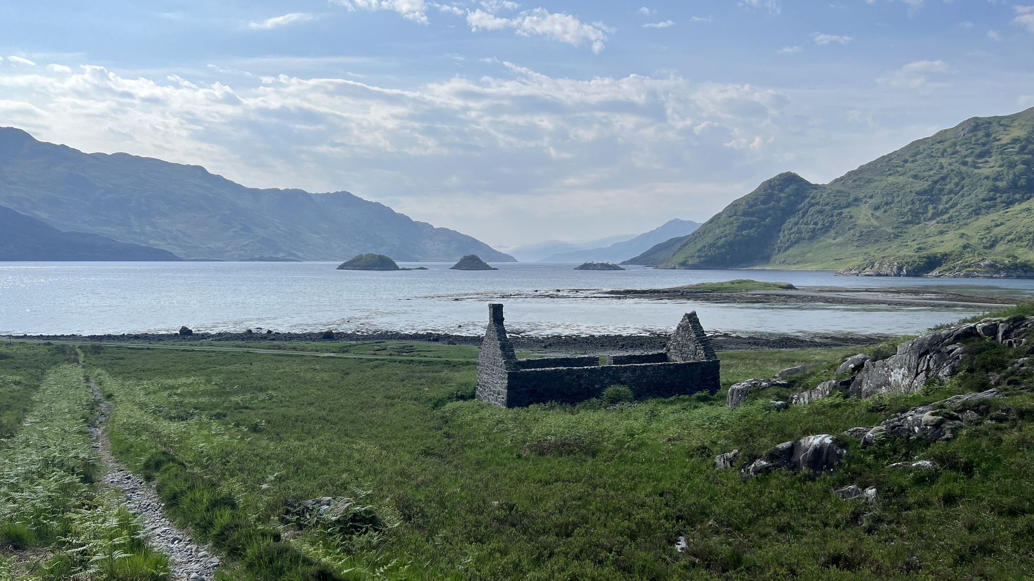
Cape Wrath Trail – Scotland’s wildest and most spectacular hiking route
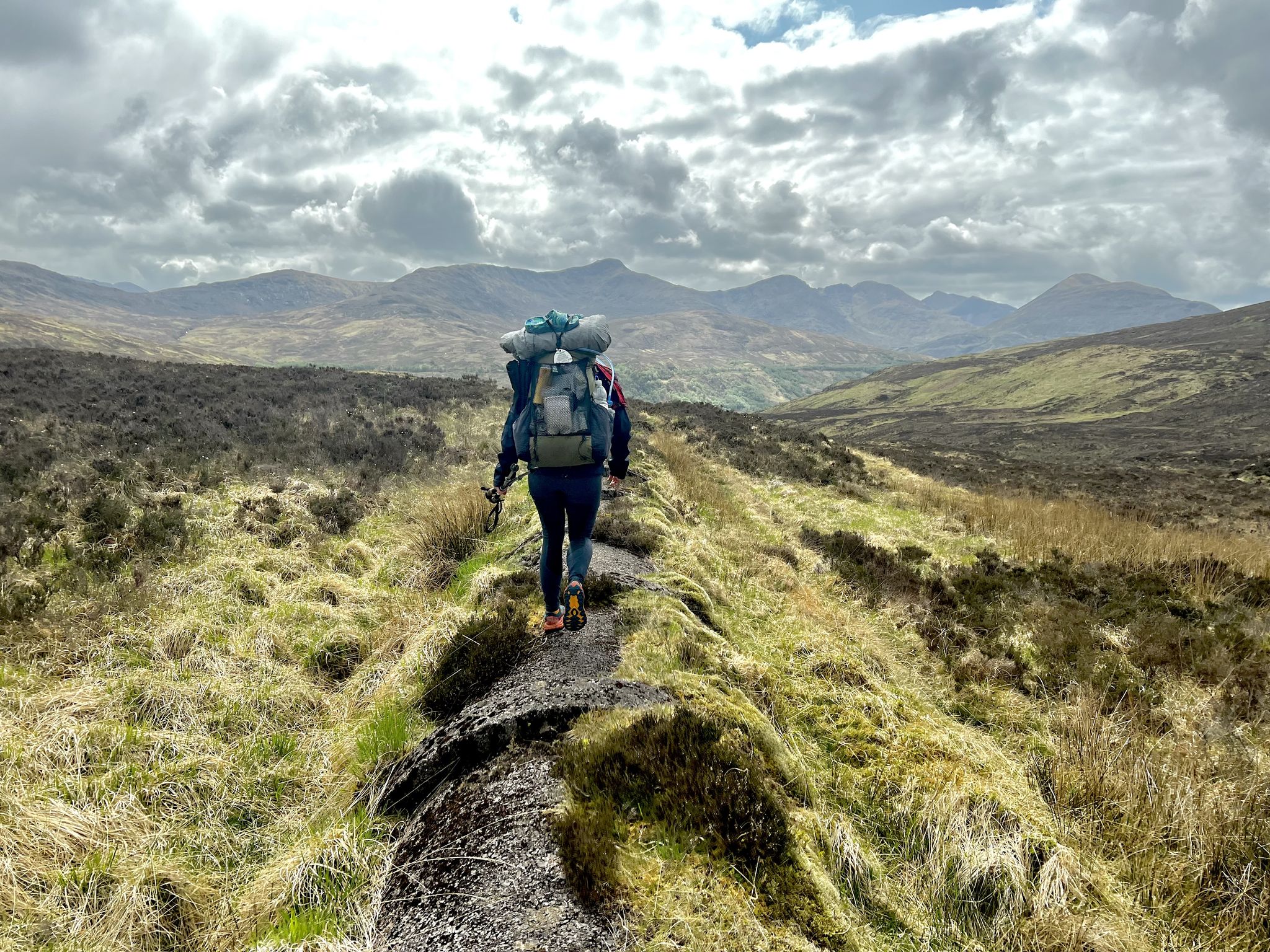
TGO Challenge 2023 – Coast to Coast: Oban to Montrose
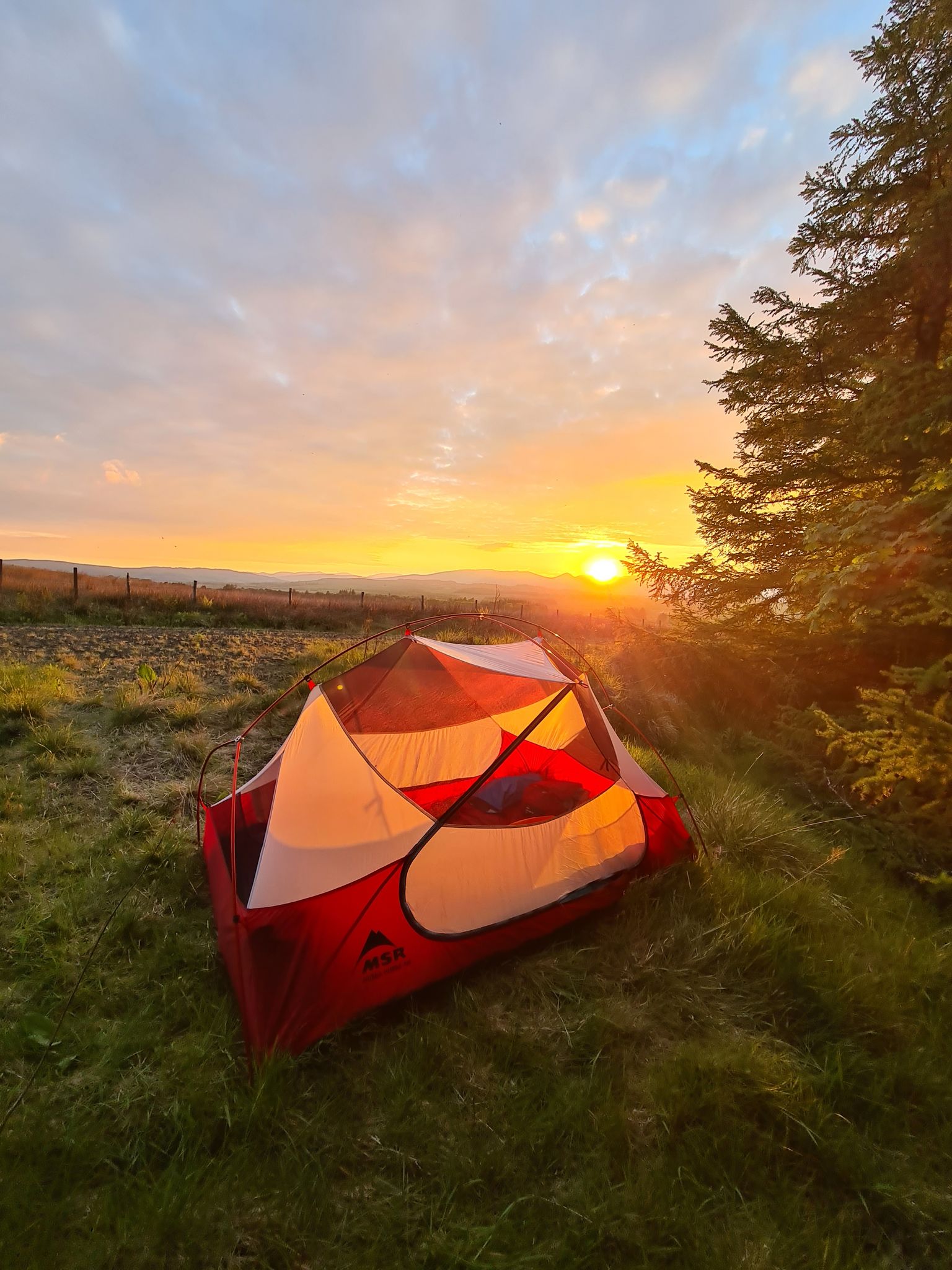
The John Muir Way — A conservationist's Scottish coast to coast
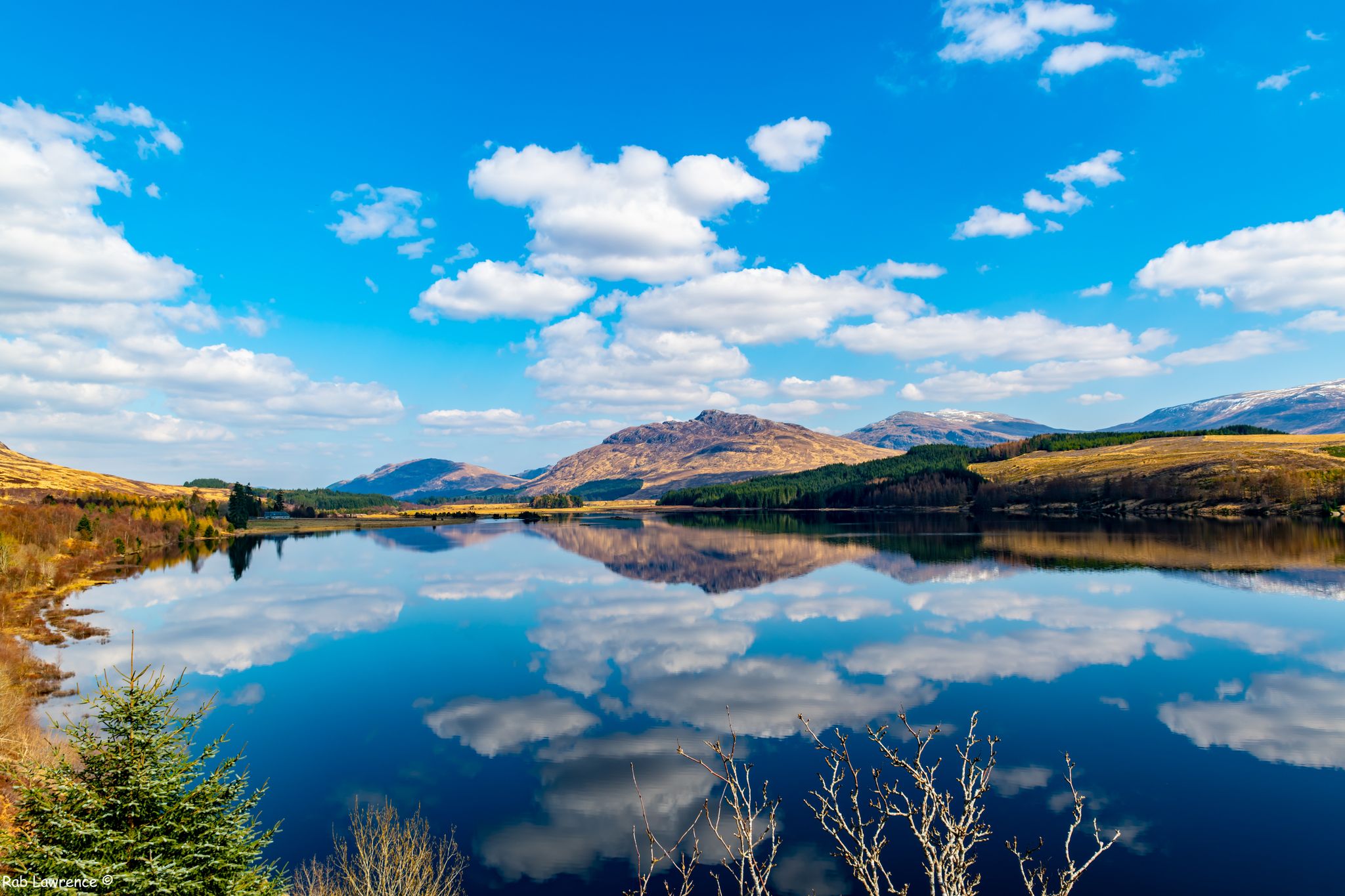
East Highland Way — Hike through Scotland's remote, mountainous heart
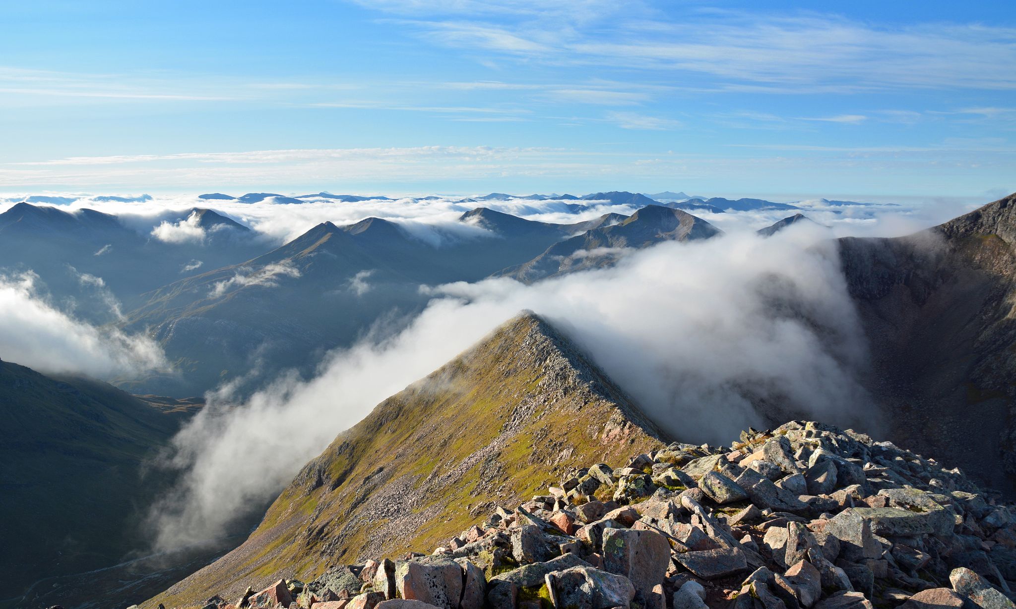
Charlie Ramsay Round — Feet in the clouds, hiking Scotland's Highlands
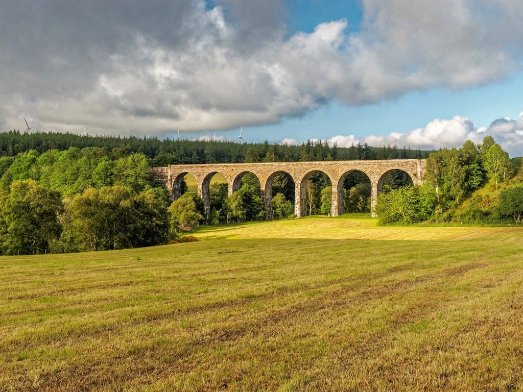
Dava Way — Hike an old railroad through a forgotten part of Scotland
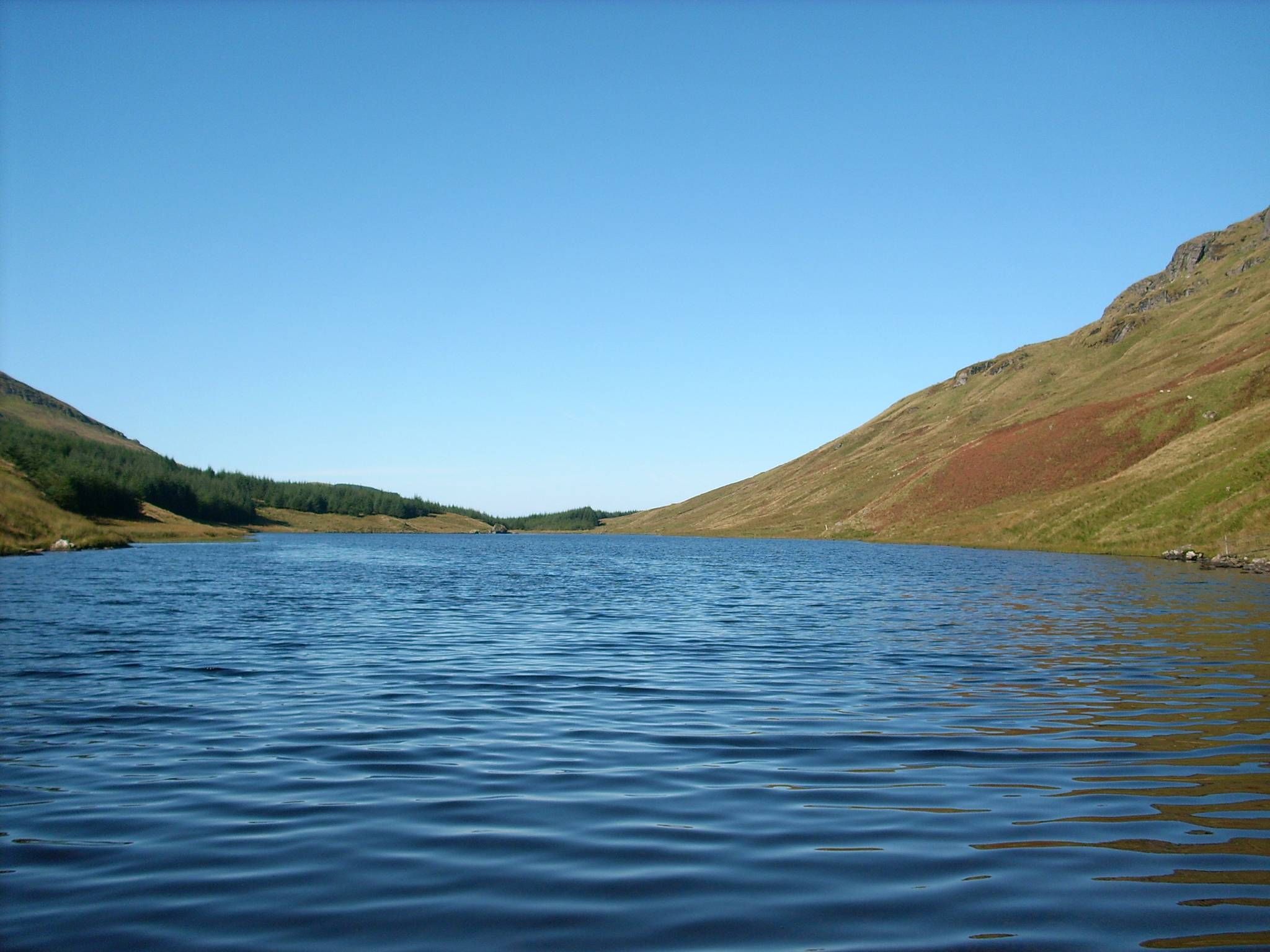
Loch Lomond and Cowal Way — Experience Scotland in 57 miles
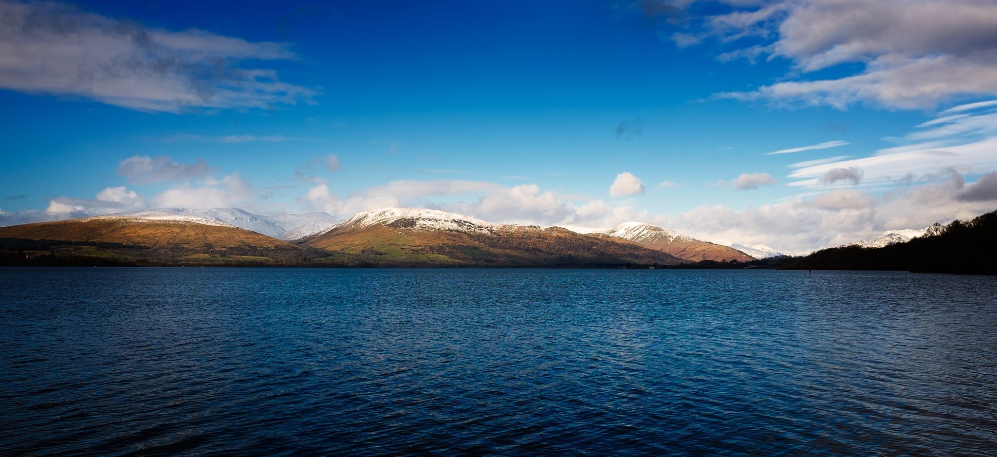
Three Lochs Way — A breathtaking hike from lowlands to Highlands
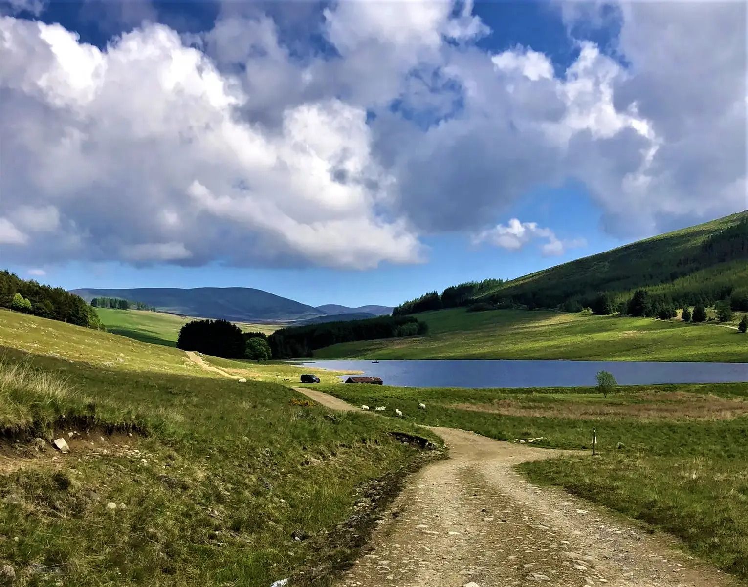
Cateran Trail — Hike old thieves' roads in a forgotten part of Scotland
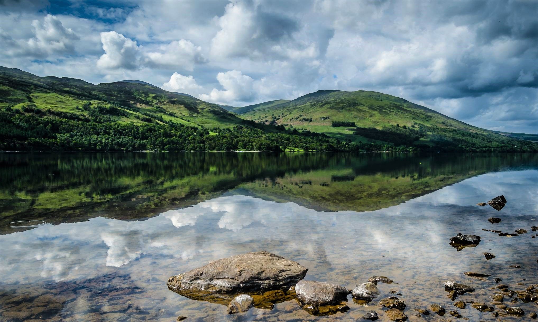
Rob Roy Way — An enchanting outlaw trail for Highland Rogues
Other adventures in the Grampian Mountains


Tips from the Community


End marked with a sign. Makes for a beautiful photo subject.
7
0

If the conditions are dry, and you're not afraid of heights, absolutely go for it. It's brilliant.
1
0

Excellent winter route - when it isn't so muddy!
1
0
A fine summit in its own right, and has an interesting ridge route for winter climbers.
0
0


Balmaha at 19 miles (30.5 km) is the first official checkpoint on the West Highland Way race. On the shore of Loch Lomond, it's accessible by road or ferry. There is a visitor centre, cafés and restaurants. Good spot to run Conic Hill if you aren't running the whole WHW. There is a statue of Tom Weir, staring across the loch. Tom was a lifelong lover of Scotland as well as a writer, broadcaster and climber.
2
0
Frequently Asked Questions
How many hiking trails are available in the Grampian Mountains?
The Grampian Mountains offer a vast network of over 3,100 hiking trails. These routes cater to all skill levels, from gentle walks through glens to challenging ascents of the highest peaks.
Are there easy hiking trails suitable for beginners in the Grampian Mountains?
Yes, the Grampian Mountains feature over 1,250 easy hiking routes. These trails are perfect for beginners or those looking for a more relaxed experience. An example of a moderate, yet accessible, hike is Conic Hill – UK Hill Walks for Beginners, which offers rewarding views without extreme difficulty.
What are some challenging hikes for experienced trekkers in the Grampian Mountains?
For experienced hikers seeking a challenge, the Grampian Mountains are home to over 500 difficult routes. Notable challenging ascents include the iconic Ben Nevis Mountain Path, leading to the UK's highest summit, and the demanding Ben Lomond and Ptarmigan Ridge Trail with its panoramic views over Loch Lomond.
Can I find circular hiking routes in the Grampian Mountains?
Yes, there are many circular hiking routes available. For instance, the Drakes Circuit offers an easy loop, while the Bidean nam Bian and Stop Coire Sgreamhach loop provides a challenging, longer option in the Glencoe National Nature Reserve.
Are there any hikes that feature waterfalls in the Grampian Mountains?
Absolutely. The Grampian Mountains are known for their dramatic landscapes, including impressive waterfalls. A popular route is Steall Waterfall and Glen Nevis, which takes you through a scenic gorge to Scotland's second-highest waterfall.
What kind of terrain can I expect when hiking in the Grampian Mountains?
The Grampian Mountains offer incredibly diverse terrain. You can expect everything from broad, heather-clad moorlands and ancient woodlands to rugged pinnacles, crests, and deep glens. The landscape is shaped by ancient geology and glacial activity, featuring both challenging rocky ascents and gentler paths along rivers and lochs.
Are there family-friendly hiking options in the Grampian Mountains?
Many of the easier routes in the Grampian Mountains are suitable for families. Look for trails with lower elevation gain and shorter distances. While specific family-friendly routes are best chosen based on your family's fitness level, the region's numerous lochs and woodlands often provide accessible and enjoyable walks.
Are dogs allowed on hiking trails in the Grampian Mountains?
Generally, dogs are welcome on hiking trails in the Grampian Mountains, but it's crucial to keep them under close control, especially in areas with livestock or ground-nesting birds. Always follow the Scottish Outdoor Access Code, which advises keeping dogs on a lead or under close control to protect wildlife and farm animals.
What are some notable landmarks or viewpoints to see while hiking in the Grampian Mountains?
The Grampian Mountains are rich in natural landmarks and stunning viewpoints. You can enjoy the View of Loch Lomond from Conic Hill, or explore the historic Loch an Eilein Castle. For those reaching higher elevations, the View of Loch Katrine from the summit of Ben A'an offers breathtaking panoramas.
What is the best time of year to go hiking in the Grampian Mountains?
The best time for hiking in the Grampian Mountains is typically from late spring (May) to early autumn (September). During these months, you'll generally find more stable weather, longer daylight hours, and less snow on higher ground. However, be prepared for changeable Scottish weather at any time of year.
Is public transport available to reach hiking trailheads in the Grampian Mountains?
Public transport options vary significantly across the vast Grampian Mountains. Major towns like Fort William and Perth, which serve as bases for hiking, are accessible by bus and train. However, reaching specific, more remote trailheads often requires a car or local taxi services. Planning ahead and checking local transport schedules is highly recommended.
What do other hikers say about the trails in the Grampian Mountains?
The trails in the Grampian Mountains are highly rated by the komoot community, with an impressive average score of 4.5 stars from over 28,000 reviews. Hikers frequently praise the dramatic scenery, the variety of routes for all abilities, and the sense of wilderness and adventure found within this majestic Scottish landscape.
Are there any moderate hikes that offer great views in the Grampian Mountains?
Yes, there are over 1,300 moderate hikes that provide excellent opportunities for scenic views. The Ben Lawers Trail is a fantastic moderate option, offering stunning vistas across the surrounding mountains and lochs from one of Scotland's highest Munros.
Most popular routes in the Grampian Mountains
Most popular attractions in the Grampian Mountains

Get inspired with the komoot mobile app


Explore more
Browse the best Hikes in other regions.
