The best MTB trails around Duneaton
3.6
(6)
50
riders
17
rides
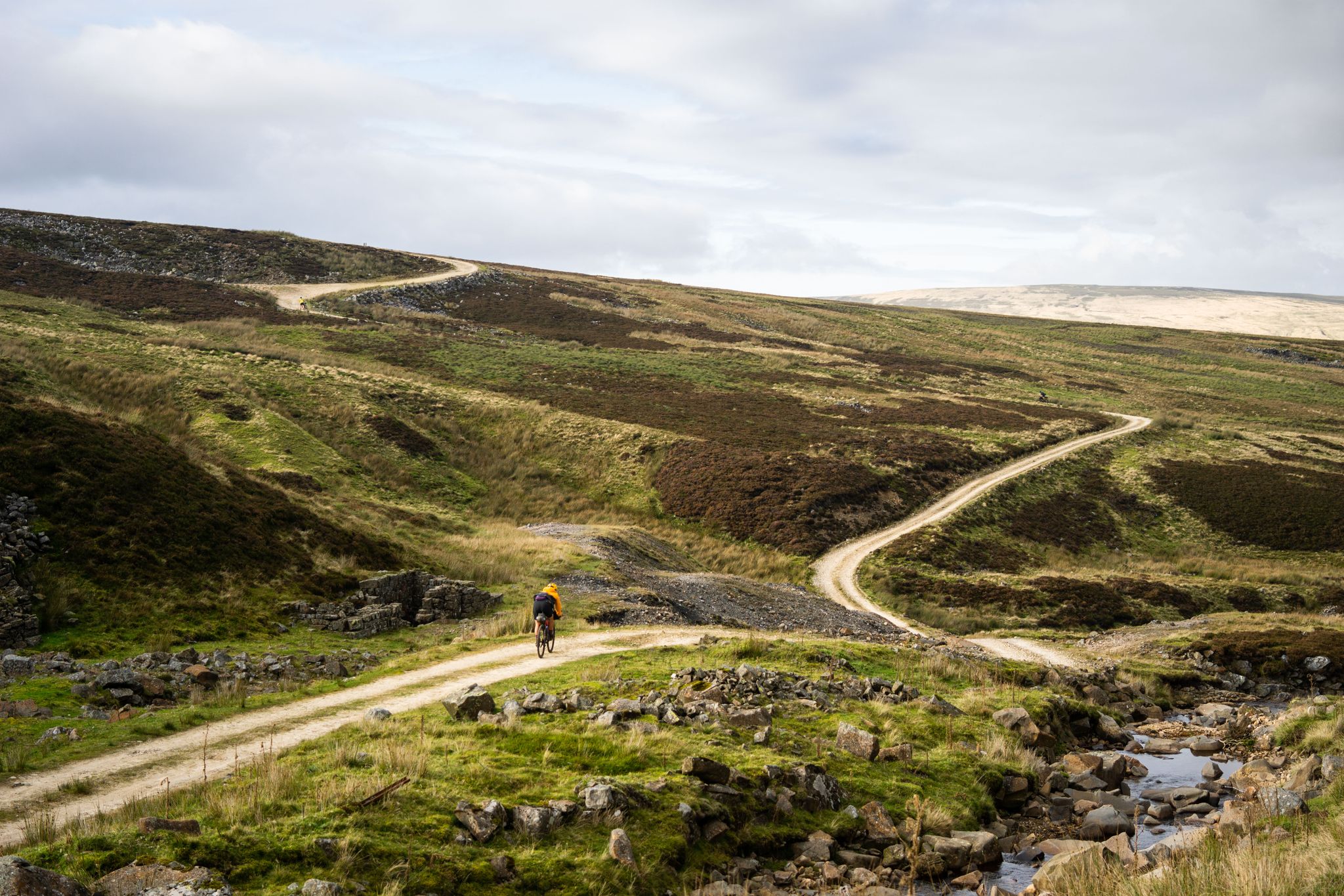
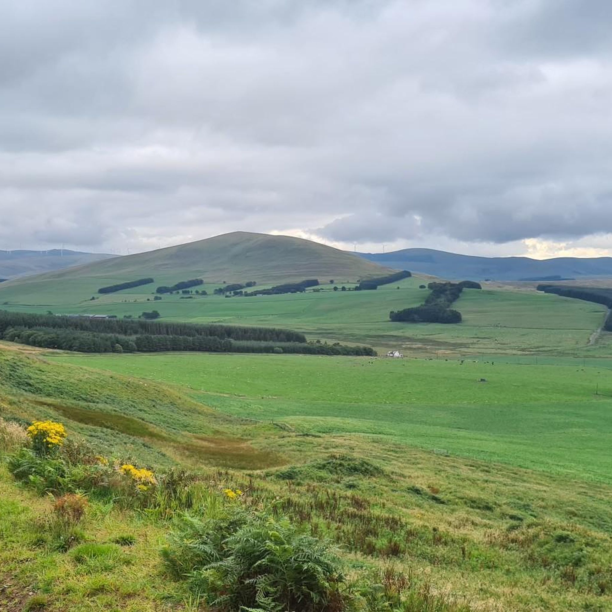
Mountain biking around Duneaton offers routes through varied landscapes, characterized by rolling uplands, expansive reservoirs, and open valleys. The terrain often includes gravel paths and farm tracks, providing a mix of challenging climbs and scenic descents. Riders can expect views of wind farms and the Southern Uplands, with routes that traverse both remote natural areas and agricultural land.
Best mountain bike trails around Duneaton
- The most popular mountain bike trail is Fruid Reservoir and Meggett Water loop from Broughton,…
Last updated: June 24, 2026
5
riders
66.6km
04:54
1,040m
1,040m
Hard mountain bike ride. Very good fitness required. Advanced riding skills necessary.
13
riders
43.7km
04:30
870m
880m
Hard mountain bike ride. Good fitness required. Advanced riding skills necessary. Some portions of the route may require you to push your bike.

Sign up for free
8
riders
51.9km
04:46
1,090m
1,090m
Hard mountain bike ride. Very good fitness required. Suitable for all skill levels.
1.5
(2)
3
riders
35.8km
02:42
400m
400m
Moderate mountain bike ride. Good fitness required. Suitable for all skill levels.
4
riders
21.4km
02:05
410m
410m
Hard mountain bike ride. Good fitness required. Advanced riding skills necessary. Some portions of the route may require you to push your bike.
Get access to more routes and recommendations from other explorers.
Sign up for free
Already have an account?
Our route recommendations are based on thousands of hikes, rides, and runs completed by other people on komoot.
Start today with a free account
Your next adventure awaits.
Login or Signup

Other adventures around Duneaton

Tips from the Community

Great place to have a pit stop and refuel, very friendly, they have a wide variety of food and cater for people with food allergies, vegan and vegetarian options available.
0
0

Memorial to John Loudon McAdam, a man who made the biggest contribution to highway construction since the Romans. You may not have heard of him, but you have heard of a process named after him... Tarmacadam, or Tarmac for short.
0
0

Heading North, the climb is great - very steep but a decent surface - but the descent is not fun without suspension. Lots of dried cow hoofprints and grassy knolls when I did it
0
0

For the path less travelled. Not all those who wonder are lost...
0
0


This looked like an old circular sheep shelter, with a building on the side
0
0
Vwry nice views can be seen in cwrtain locations. It was a bleak rainy day which restricted the clarity in loads of places
0
0
I guessed that these new gravel roads might be a potential wind farm site, but it didnt seem big enough for such. There is a derelict farm building at the end of the gravel road
0
0
Frequently Asked Questions
How many mountain bike trails are available around Duneaton?
The Duneaton area offers a selection of over 15 mountain bike trails, catering to various skill levels. You'll find a mix of moderate and difficult routes, with 8 moderate and 7 difficult trails available.
What kind of terrain can I expect on mountain bike trails near Duneaton?
Mountain biking around Duneaton features diverse terrain, including rolling uplands, expansive reservoirs, and open valleys. Many routes incorporate gravel paths and farm tracks, providing a mix of challenging climbs and scenic descents. You can expect views of wind farms and the Southern Uplands, traversing both remote natural areas and agricultural land.
Are there any easy mountain bike trails suitable for beginners in Duneaton?
While many routes in Duneaton are moderate to difficult, there are a couple of easier options available. These trails are generally less demanding in terms of technical skill and elevation, making them suitable for those new to mountain biking or looking for a more relaxed ride.
Can I find challenging mountain bike trails around Duneaton?
Yes, Duneaton is well-suited for experienced mountain bikers looking for a challenge. There are 7 difficult routes, such as the Fruid Reservoir and Meggett Water loop from Broughton, which is 41.4 miles (66.6 km) long with over 1000 meters of elevation gain, and the View of Wind Farm – View of the Southern Uplands loop from Abington, offering significant climbs and expansive views.
Are there any circular mountain bike routes in the Duneaton area?
Many of the mountain bike trails around Duneaton are designed as loops, allowing you to start and finish at the same point. Examples include the challenging Fruid Reservoir and Meggett Water loop from Broughton and the Gravel Path Near Derelict Farm – Valley Road View loop from Broughton.
What natural features or landmarks can I see while mountain biking around Duneaton?
The trails often provide views of expansive reservoirs, wind farms, and the Southern Uplands. You can also find natural monuments and viewpoints nearby, such as the Cairn Table Summit Cairn, the Falls of Clyde (Waterfalls), and the Glenbuck Loch. Many routes also offer panoramic views from various peaks like Culter Fell Summit and Tinto Hill Summit Viewpoint.
What do other mountain bikers say about the trails in Duneaton?
The mountain bike routes in Duneaton are highly rated by the komoot community, with an average score of 3.5 stars from 5 reviews. Over 40 mountain bikers have used komoot to explore the varied terrain, often praising the challenging climbs and scenic views of the reservoirs and uplands.
Are there any routes with significant elevation gain for a good workout?
Absolutely. Many trails in Duneaton feature significant elevation gain, making them ideal for a challenging workout. For example, the Fruid Reservoir and Meggett Water loop from Broughton has over 1000 meters of ascent, and the View of Wind Farm – View of the Southern Uplands loop from Abington also includes substantial climbing.
Is public transport available to access mountain bike trails in Duneaton?
While specific public transport links directly to every trailhead may vary, the region's towns like Broughton and Abington, which serve as starting points for several routes, typically have bus services. It's advisable to check local transport schedules for the most up-to-date information on reaching specific trailheads.
What is the best time of year to go mountain biking in Duneaton?
The best time for mountain biking in Duneaton is generally during the spring, summer, and early autumn months (April to October) when the weather is milder and trails are less likely to be muddy or icy. The region's rolling uplands can be exposed, so checking the weather forecast is always recommended, especially for wind and rain.
Are the mountain bike trails around Duneaton dog-friendly?
Many trails in the Duneaton area are suitable for dogs, especially those traversing open uplands and farm tracks. However, it's crucial to keep dogs under control, particularly when passing through agricultural land with livestock. Always check for local signage regarding dog access and leash requirements.
Are there family-friendly mountain bike trails in Duneaton?
For families, the easier mountain bike trails are the best option. These routes typically have less technical terrain and more manageable distances, providing a pleasant experience for riders of all ages. Always check the specific route details for distance and elevation to ensure it matches your family's ability.
Where can I find information about parking for mountain bike trails in Duneaton?
Parking availability varies by trailhead. Many routes start from villages like Broughton or Abington, where public parking may be available. For more remote trailheads, informal parking spots might exist. It's recommended to check the komoot tour details for specific parking information or local council websites for designated parking areas.
Most popular attractions around Duneaton

Get inspired with the komoot mobile app


Explore more
Browse the best MTB trails in other regions.
