The best walks and hikes around Balfron
4.3
(1037)
7,396
hikers
119
hikes
Hikes around Balfron explore the landscape where the Scottish Lowlands meet the Highlands. The area is characterized by rolling hills, including the Campsie Fells, and river valleys such as the one carved by Endrick Water. Its location provides access to trails within Loch Lomond & The Trossachs National Park, offering a variety of terrain for walkers.
Best hiking trails around Balfron
- The most popular hiking route is Killearn Parish Church – Dumgoyne Hill loop from Killearn, a 8.1 mile…
Last updated: November 8, 2026
4.7
(3)
25
hikers
12.8km
04:04
420m
420m
Hard hike. Good fitness required. Sure-footedness, sturdy shoes and alpine experience required.
5.0
(2)
18
hikers
Easy hike. Easily walkable paths.

4.6
(233)
1,419
hikers
28.5km
07:37
330m
330m
Hard hike. Very good fitness required. Easily walkable paths.
3.0
(1)
14
hikers
3.13km
00:50
30m
30m
Easy hike. Easily walkable paths.
5.0
(4)
12
hikers
6.81km
01:50
90m
90m
Easy hike. Easily walkable paths.
Get access to more routes and recommendations from other explorers.
Already have an account?
Our route recommendations are based on thousands of hikes, rides, and runs completed by other people on komoot.
Start today with a free account
Your next adventure awaits.



Tips from the Community

Craigallian Loch lies idyllically between green hills at the start of the West Highland Way. The small lake is surrounded by moorland and pasture landscape and already offers a taste of the Scottish scenery.
5
0

The steep ascent and descent are challenging (especially with a 15kg backpack on your back), but the effort is definitely worth it.
0
0

It’s actually called Turnip the Beet! Nice stuff here. Can be tourist busy
0
0

Nice coffee and sandwiches with vegan friendly options and outdoor seating
0
0

The West Highland Way is known as Scotland's most loved trail. It walks for 96 miles (154km) from Milngavie (south) to Fort William (north). This section is near the start (if you started in Milngavie). It walks through the Mugdock Country Park on the outskirts of Glasgow, heading towards Loch Lomond.
0
0

Turnup the Beet is good, great coffee and nice food
0
0

Nice picnic spot with a view
1
0

Looks like their is an entry/exit point at the other side of the bridge
0
0
Frequently Asked Questions
Are there many hiking trails to choose from around Balfron?
Yes, there's a wide variety of options. You can explore over 130 marked hiking routes in the region, ranging from easy riverside strolls to challenging ascents in the Campsie Fells.
What do other hikers think of the trails near Balfron?
The trails are well-regarded by the komoot community, which has given the area an average rating of 4.4 out of 5 stars. Hikers often praise the stunning views where the Lowlands meet the Highlands and the mix of accessible terrain.
Can I find any easy, family-friendly walks in the area?
Certainly. The region has over 60 easy-rated trails. For a shorter, scenic walk that's great for families, consider the View of Loch Lomond – Skoosh Tea Room loop from Croftamie. It's a gentle 3.1-mile (5 km) route through fields and woodland.
Are there any good circular walks starting from the villages?
Yes, circular routes are very popular here. A great option for an easy loop is the Honesty Box Telephone Booth – Turn Up the Beet Deli & Café loop from Killearn, which is just under 6 miles (9.6 km) and offers a pleasant walk through the local countryside.
I'm looking for a more challenging hike. What do you recommend?
For a significant challenge, the Glengoyne Distillery, Dumgoyne – Craigallian Loch loop from Killearn is a demanding 17.8-mile (28.6 km) trek. It covers varied terrain and takes in several local landmarks, requiring good stamina.
Are the hiking trails around Balfron suitable for dogs?
Many trails in the area are great for walking with a dog, especially through the forests and along the riverbanks. However, be aware that you will cross fields with livestock, particularly in the Campsie Fells, so it's essential to keep your dog on a lead in these areas.
Where can I park my car when starting a hike?
Many popular trailheads have dedicated parking. For example, the walk up Conic Hill starts from a well-known car park in Balmaha. For hikes starting in villages like Killearn or Drymen, you can usually find on-street parking, but please park considerately and respect local residents.
Is it possible to reach the hiking trails using public transport?
Yes, the area is accessible by bus. Bus services connect Balfron with nearby villages like Killearn and Drymen, and also provide links to Stirling. From these villages, you can access the trailheads for many popular walks, including routes into the Campsie Fells and towards Loch Lomond.
Are there any walks with a pub or cafe along the way?
Yes, several routes pass through or near villages with excellent pubs and cafes. The hike to Dumgoyne Hill, for instance, starts and ends near Killearn, which has options for refreshments. The nearby Glengoyne Distillery also offers a different kind of stop for a post-hike reward.
What are some popular natural landmarks to see on a hike?
The area is full of scenic spots. Conic Hill is a major highlight, offering incredible panoramic views over Loch Lomond and its islands. Dumgoyne Hill is another prominent peak in the Campsie Fells, providing fantastic vistas. For something different, walks along the Endrick Water offer gentle, picturesque riverside scenery.
Can I access a long-distance trail from near Balfron?
Yes, the world-famous West Highland Way passes close to the area, near the village of Drymen. You can easily plan a hike to join a section of this iconic trail, experiencing a part of its journey along the eastern shores of Loch Lomond.
Most popular attractions around Balfron
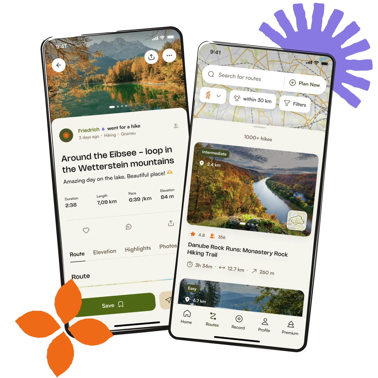
Get inspired with the komoot mobile app


Explore more
Browse the best Hikes in other regions.