The best mountain hikes around Killearn
5.0
(1)
8
hikers
3
hikes
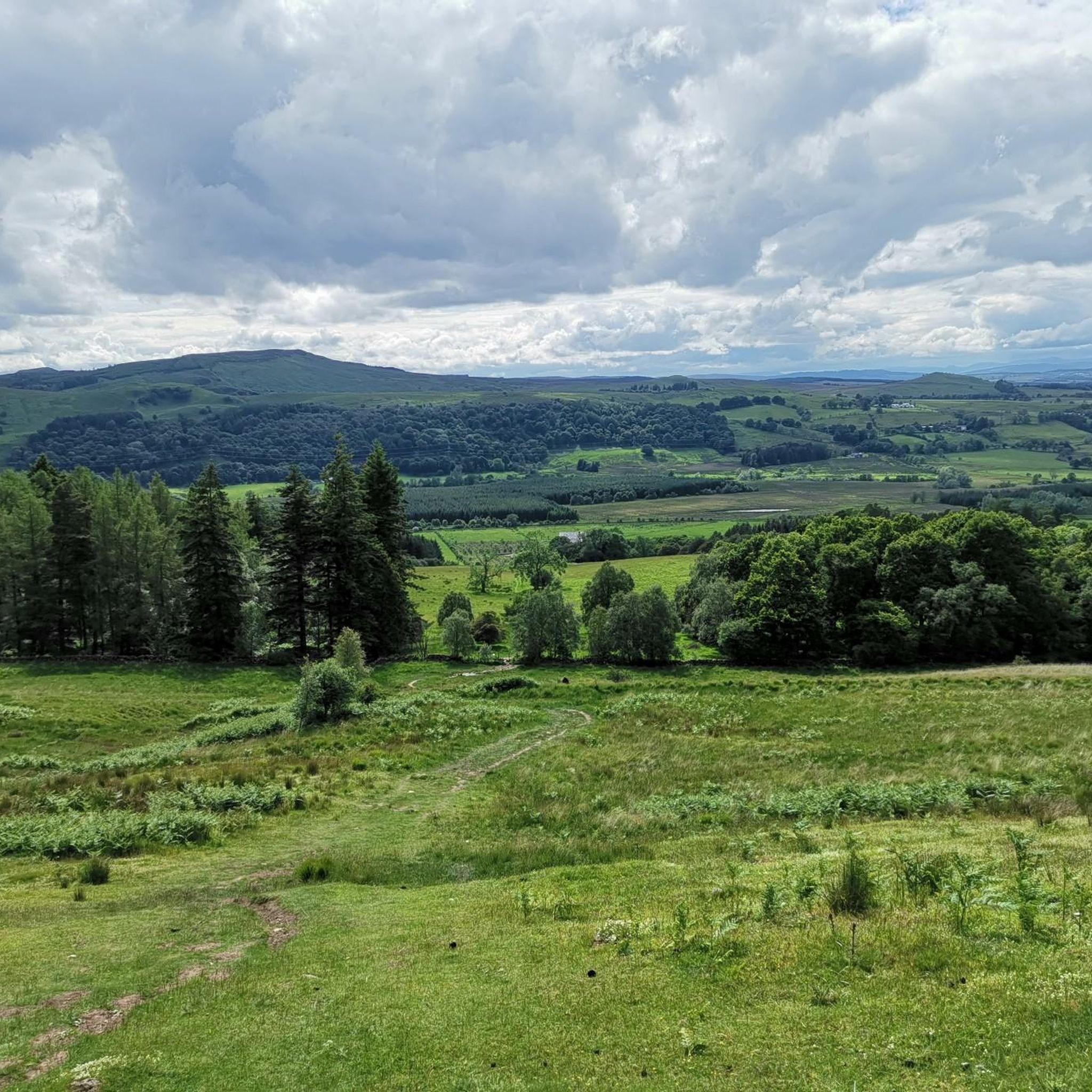
Mountaineering routes around Killearn offer access to the varied terrain of the Stirling region, characterized by rolling hills, scenic lochs, and open moorland. The area provides a mix of elevations, from gentle ascents to more challenging climbs, often rewarding with expansive views. Rock formations and historical cairns are common features along many paths. The landscape is predominantly natural, with some routes passing through forested sections or alongside agricultural land.
Best mountaineering routes around Killearn
- The most popular mountaineering route is…
Last updated: October 11, 2026
4
hikers
Easy mountaineering route. Great for any fitness level. Easily-accessible paths. Suitable for all skill levels.
2
hikers
11.3km
03:40
450m
450m
Moderate mountaineering route. Good fitness required. Easily-accessible paths. Suitable for all skill levels.

5.0
(1)
1
hikers
8.67km
02:44
310m
310m
Moderate mountaineering route. Good fitness required. Easily-accessible paths. Suitable for all skill levels.
1
hikers
Moderate mountaineering route. Good fitness required. Easily-accessible paths. Suitable for all skill levels.
Our route recommendations are based on thousands of hikes, rides, and runs completed by other people on komoot.
Start today with a free account
Your next adventure awaits.

Tips from the Community

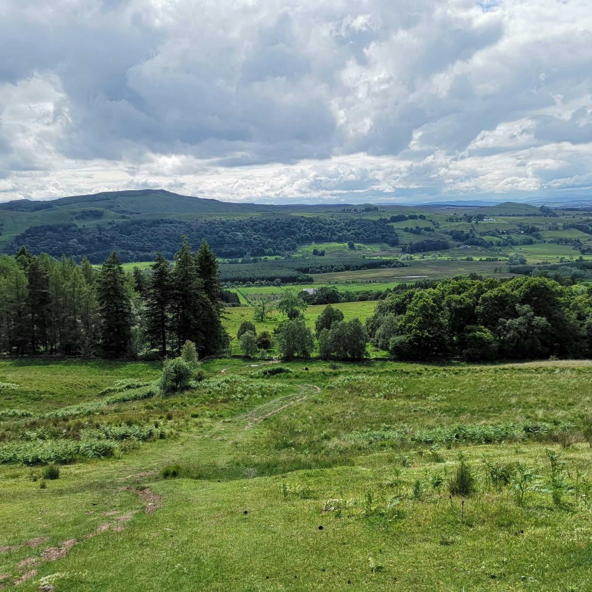
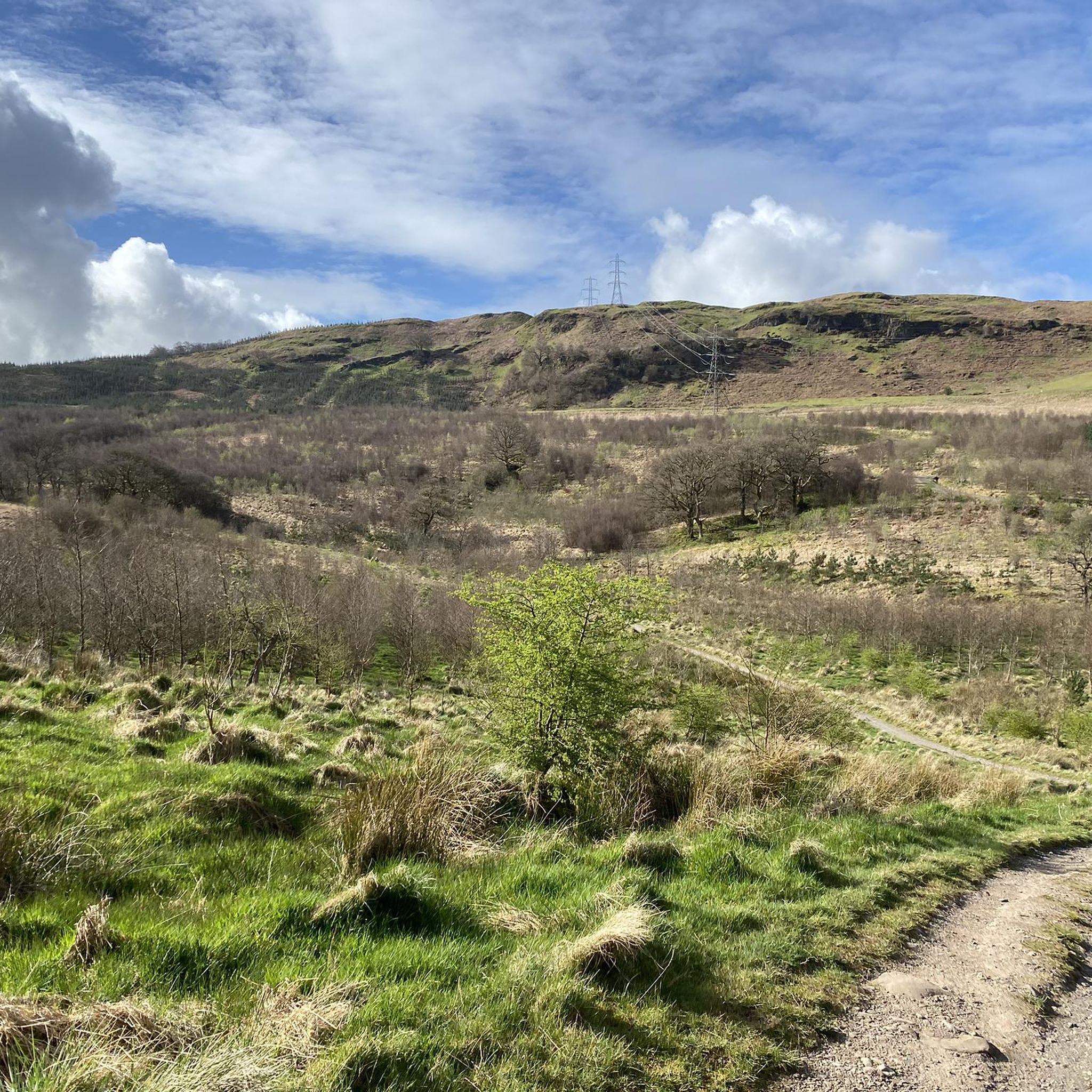
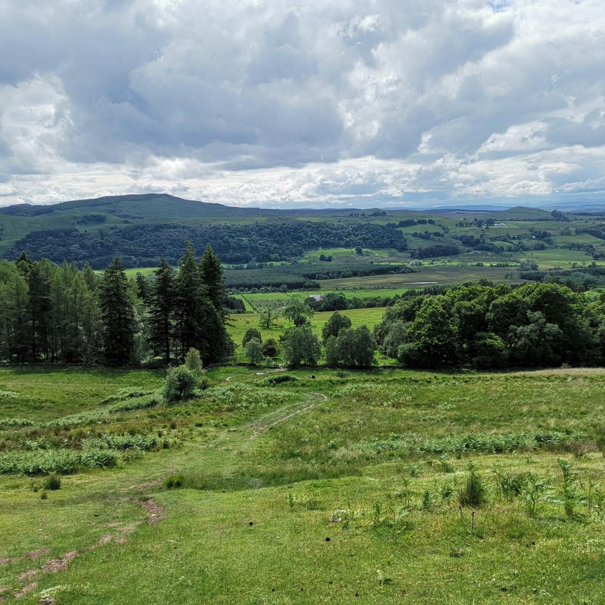
The Cort-ma-Law Summit is located in the Campsie Fells north of Glasgow. The ascent leads through open, partly boggy moorland and rewards with a wide panoramic view over the rolling hills and valleys of the surrounding area. In clear weather, the view extends far beyond the Central Lowlands and up to the distinctive mountains of the Highlands.
0
0
The summit path to Conic Hill is one of the most beautiful sections of the West Highland Way. From Balmaha, the well-developed, partly steep path leads uphill through heathland and over stony steps. With every metre gained in altitude, the view of Loch Lomond becomes more impressive. Once at the top, a fantastic panorama awaits over the loch, its islands, and the surrounding Highlands. The short ascent is certainly challenging – but for this view, a few beads of sweat are gladly accepted.
2
0
Conic Hill is a 361-meter high hill on the West Highland Way near Balmaha. The short, but partially steep ascent is rewarded with a magnificent panorama: Loch Lomond with its numerous islands lies before you, and the Highlands rise behind it. A small mountain, great view!
2
0

Nice view at the top, the decent is not too hard. Keep in mind that when it has rained recently the ground will be muddy.
2
0
Fun little hike, doable with kids and dogs. If you like free climbing you can also climb a bit in the rocks, but ofcourse be carefull with that.
1
0

Beautiful path that highlights the dimension of Loch Lomond.
1
0
There are stone steps for over 2km - so it's worth getting out your hiking poles...
2
0
Imposing view that you have to let sink in once you are there. However, you are not alone up here either.
1
0
Frequently Asked Questions
Are there easy mountaineering routes suitable for beginners around Killearn?
Yes, Killearn offers easy mountaineering routes perfect for beginners. For example, the Auchineden Hill Trig Point – The Whangie Rock Formation loop from Queen's View is an accessible 2.9-mile trail that features a distinctive rock formation and scenic views.
What is the typical duration for mountaineering routes in the Killearn area?
The duration of mountaineering routes around Killearn varies. Shorter, easier trails like the Auchineden Hill Trig Point loop can be completed in under 1.5 hours, while more moderate routes, such as the Crichton's Cairn – View of Glasgow from Crow Road loop, typically take around 3.5 to 4 hours.
Where can I find parking for mountaineering routes near Killearn?
Parking availability varies by trailhead. Many routes around Killearn, especially those starting from popular points like Queen's View or Balmaha, have designated car parks. It's always advisable to check specific route details on komoot for parking information before you set out.
Can I reach mountaineering routes around Killearn using public transport?
While some trailheads may be accessible by local bus services, public transport options can be limited in more remote areas around Killearn. For routes like the View of Loch Lomond – Path to Conic Hill Summit loop from Balmaha, Balmaha is a more accessible starting point with bus connections. Planning your journey in advance is recommended.
Are there family-friendly mountaineering options near Killearn?
Absolutely. Many of the easier routes are suitable for families. The Auchineden Hill Trig Point – The Whangie Rock Formation loop is a great choice, offering interesting features and manageable distances for children and adults alike.
Are there more challenging mountaineering routes for experienced hikers?
Yes, for those seeking a greater challenge, routes like the Crichton's Cairn – View of Glasgow from Crow Road loop from Lennoxtown offer moderate difficulty with significant elevation gain and panoramic views. Another excellent option is the View of Loch Lomond – Path to Conic Hill Summit loop from Balmaha, which leads to a prominent summit with rewarding vistas.
When is the best time of year to go mountaineering around Killearn?
Spring (April-May) and autumn (September-October) are often considered the best times for mountaineering around Killearn, offering cooler temperatures, fewer midges, and beautiful scenery. Summer can be pleasant, but prepare for potential rain and insects. Winter mountaineering is possible but requires appropriate gear and experience due to colder conditions and shorter daylight hours.
What kind of gear should I bring for mountaineering in Killearn, especially in autumn?
For autumn mountaineering around Killearn, it's crucial to be prepared for changeable Scottish weather. Essential gear includes waterproof and windproof layers, sturdy hiking boots, warm clothing (including hat and gloves), navigation tools (map, compass, or GPS), sufficient water and snacks, and a headlamp. Layers are key to adapting to fluctuating temperatures.
What are some of the best viewpoints to experience while mountaineering around Killearn?
The Killearn area boasts several spectacular viewpoints. The View of Loch Lomond from Conic Hill is particularly renowned. Other notable spots include the Meikle Bin Summit and the Earl's Seat Summit, both offering expansive vistas of the surrounding landscape.
Are there any interesting landmarks or natural features along the mountaineering routes?
Yes, the routes around Killearn are dotted with interesting features. You can explore the distinctive Whangie Rock Formation, or visit Crichton's Cairn, a notable historical landmark. Many routes also offer stunning views of Loch Lomond, such as the View over Loch Lomond from Conic Hill.
What do other mountaineers enjoy the most about mountaineering in Killearn?
The komoot community highly rates the mountaineering experience around Killearn, with an average score of 5.0 stars. Reviewers often praise the varied terrain, from rolling hills to scenic lochs, and the rewarding expansive views. The distinctive rock formations and historical cairns also add to the unique appeal of the routes.
Are there any circular walking routes available for mountaineering near Killearn?
Yes, many of the mountaineering routes around Killearn are designed as circular walks, allowing you to start and finish at the same point. Examples include the Auchineden Hill Trig Point – The Whangie Rock Formation loop and the Crichton's Cairn – View of Glasgow from Crow Road loop, providing convenient options for exploration.
Most popular routes around Killearn
Most popular attractions around Killearn

Get inspired with the komoot mobile app


Explore more
Browse the best Mountain Hikes & Routes in other regions.
