The 9 Most Amazing Peaks around Oberaula
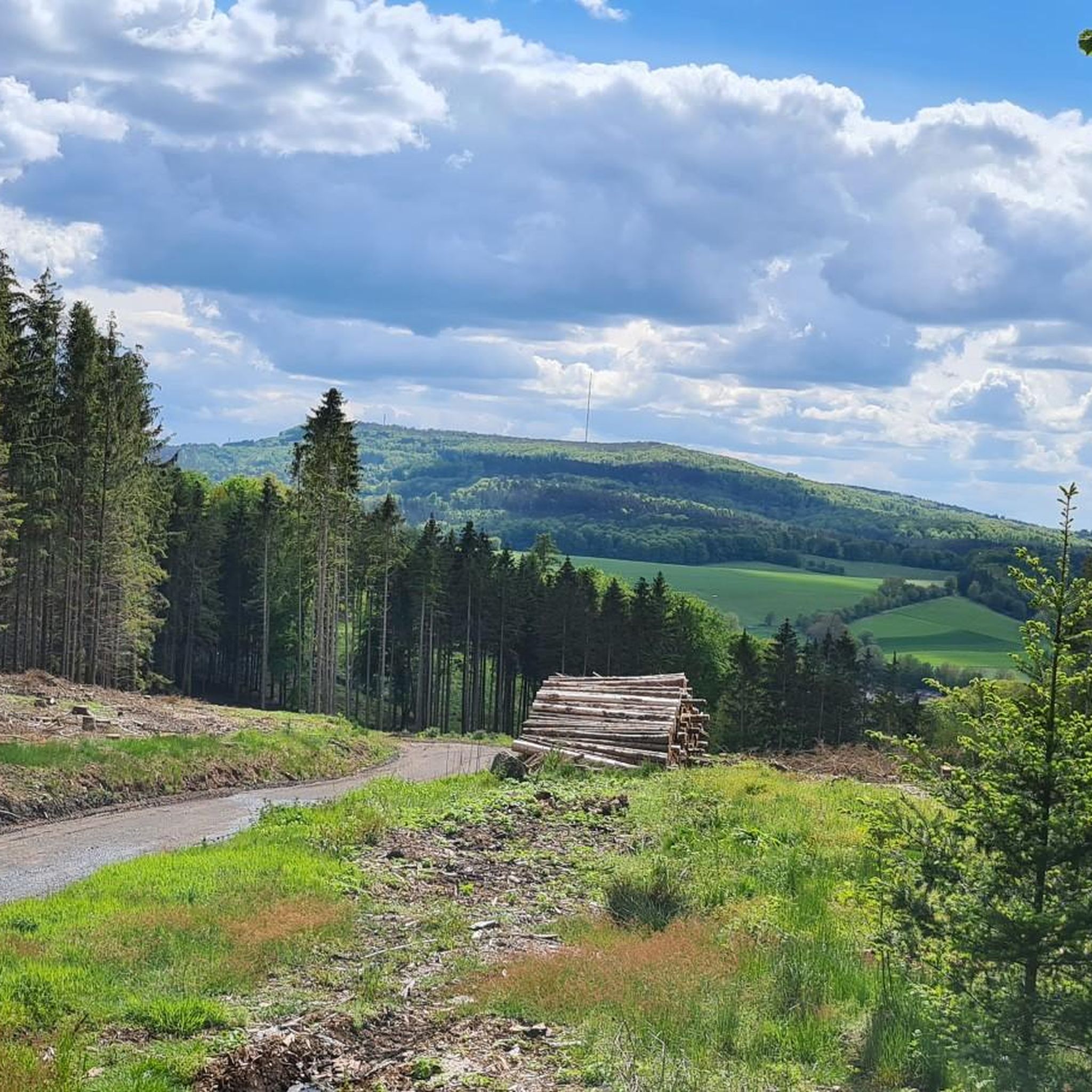
Mountain peaks around Oberaula are situated in the Knüllgebirge, a low mountain range in Hesse, Germany. This region offers elevations that provide scenic views and opportunities for hiking. The landscape is characterized by rolling hills and green forests, forming a natural setting for outdoor activities. Various hiking trails lead to these peaks, catering to different levels of difficulty.
Best mountain peaks around Oberaula
- The most popular mountain peaks is Knüll Tower (Knüllköpfchen), a man-made monument that offers wide views.…
Last updated: August 17, 2026
Ebigköpfchen Summit Picnic Area
Highlight • Summit
Translated by Google •
Tip by

August Franke Tower on Knüllköpfchen
Highlight • Viewpoint
Translated by Google •
Tip by

Sign up now to discover places like this
Get recommendations on the best single tracks, peaks, & plenty of other exciting outdoor places.
Sign up for free
Knüll Tower (Knüllköpfchen)
Highlight • Monument
Translated by Google •
Tip by

Stellerskuppe Summit and Historical Remains
Highlight • Summit
Translated by Google •
Tip by
Ibra-Kuppe
Highlight • Viewpoint
Translated by Google •
Tip by

Sign up for free to discover even more peaks around Oberaula.
Sign up for free
Already have an account?
Start today with a free account
Your next adventure awaits.
Login or Signup
Popular around Oberaula
A fairytale ride – Little Red Riding Hood Country rail cycle route
Premium hiking trails in the Knüll Nature Park
Premium hiking trails in the Knüll Nature Park
Fabelwege - Premium hiking in Knüll nature park
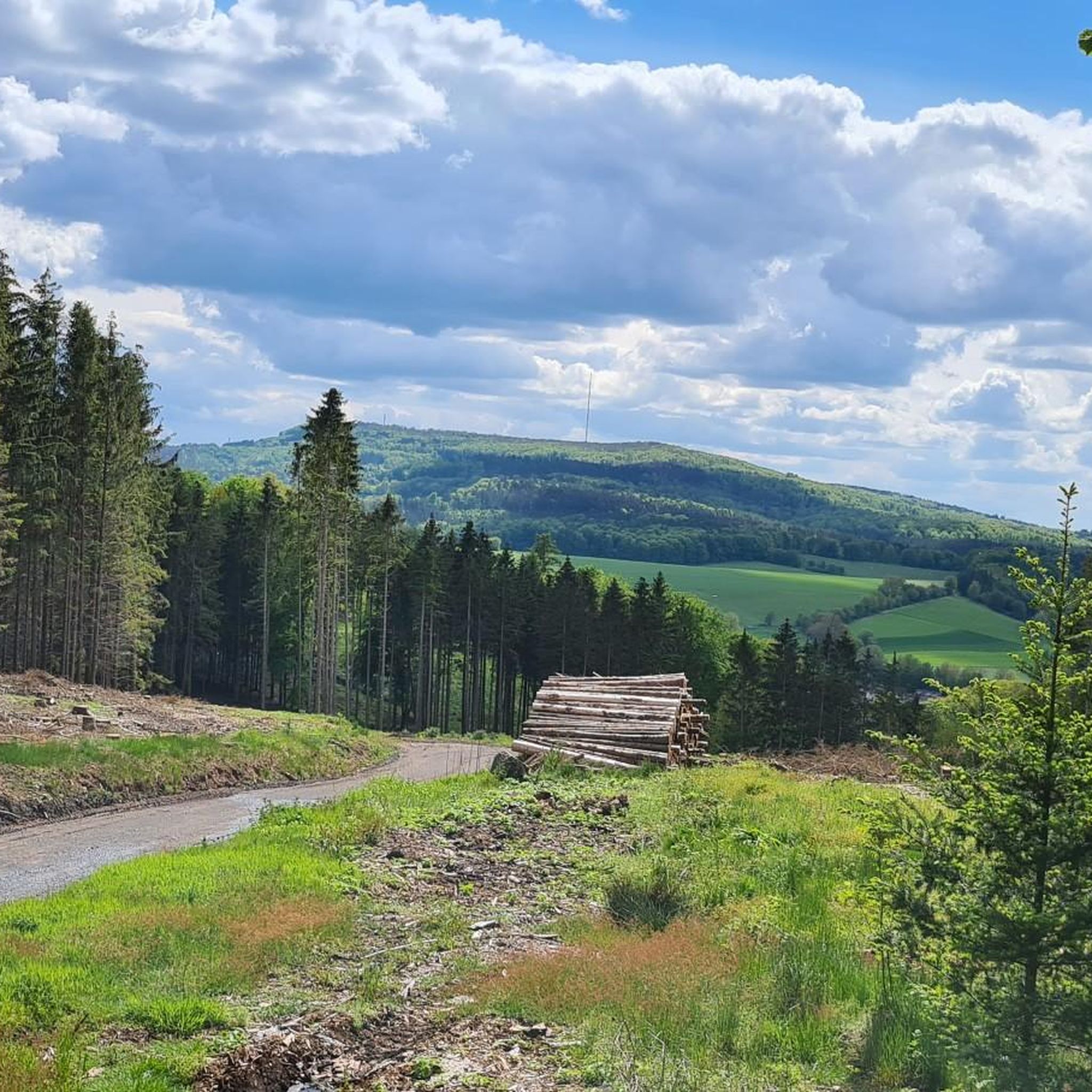
Hiking around Oberaula
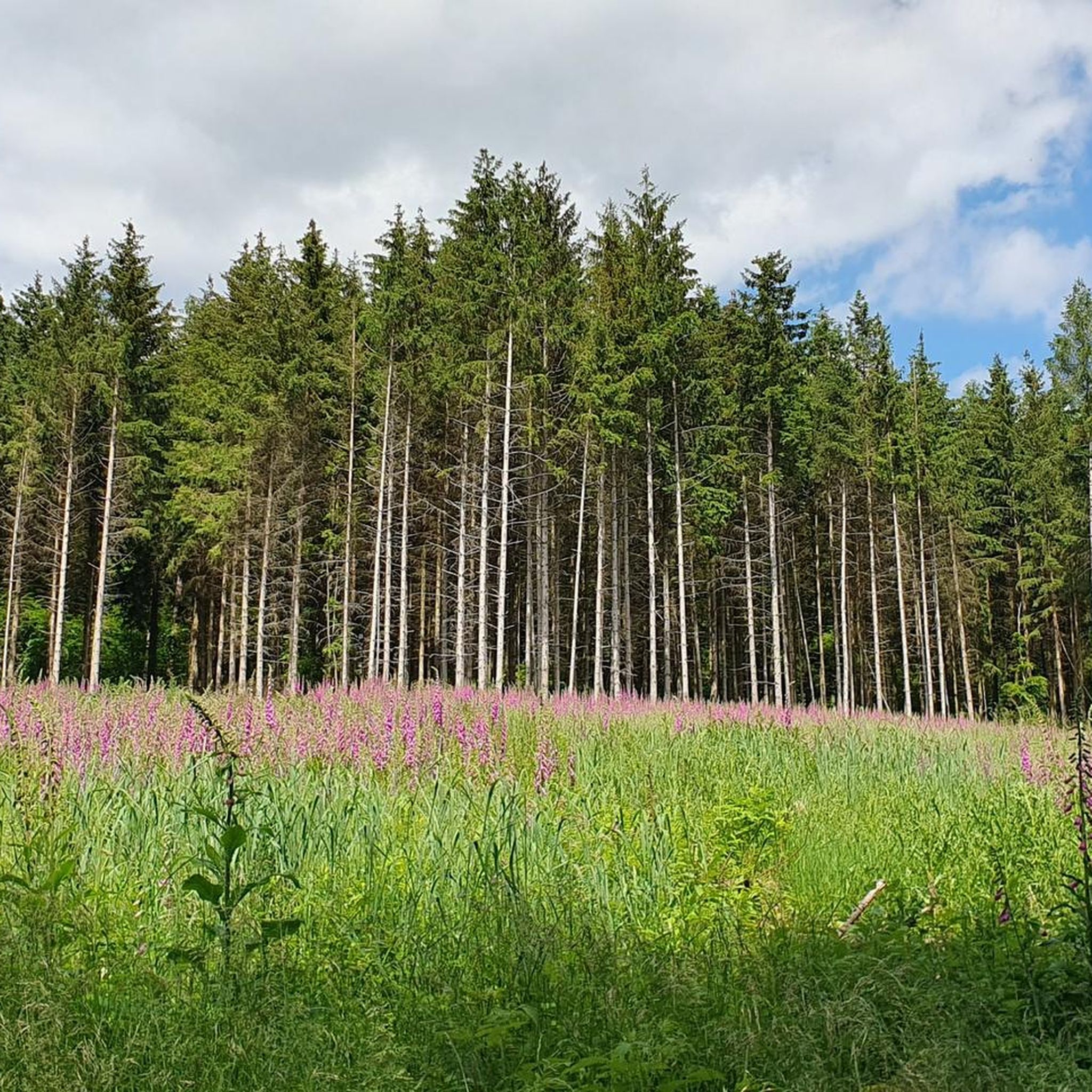
Cycling around Oberaula
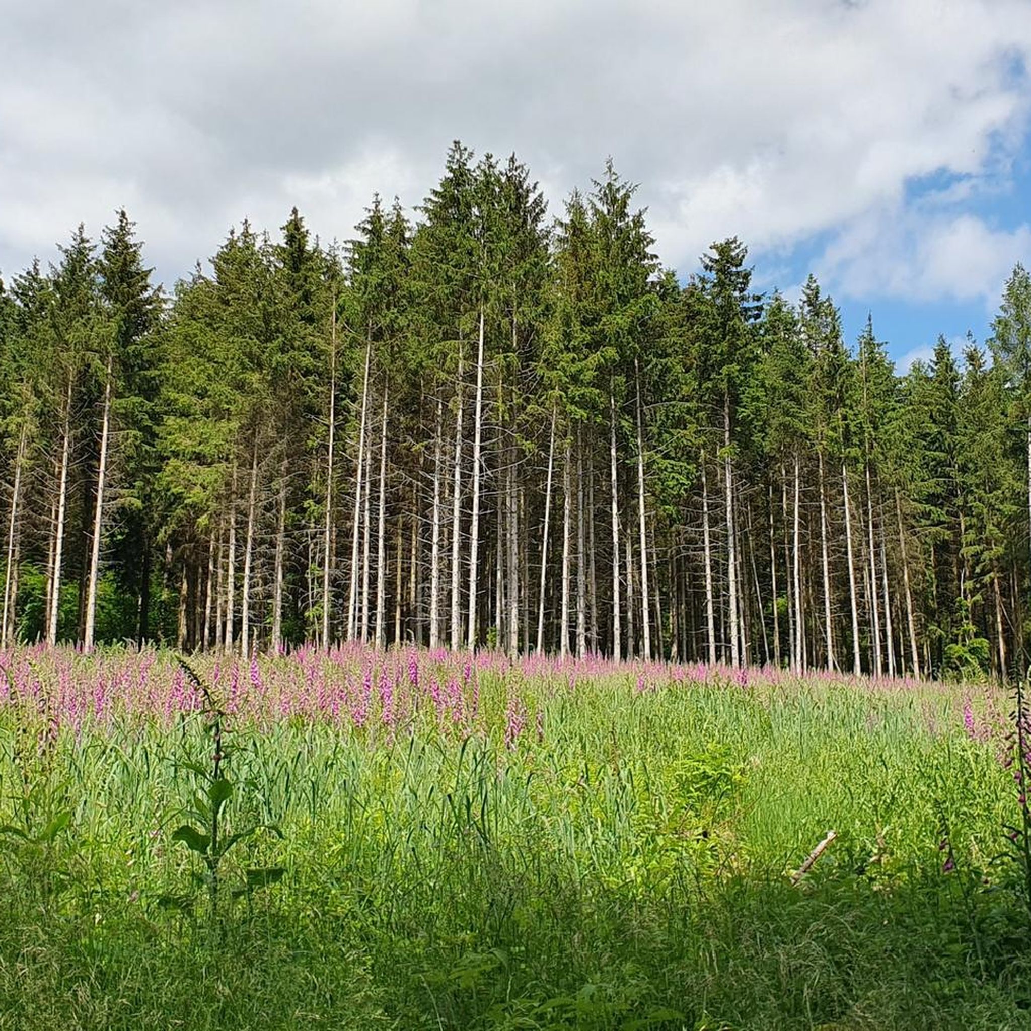
MTB Trails around Oberaula
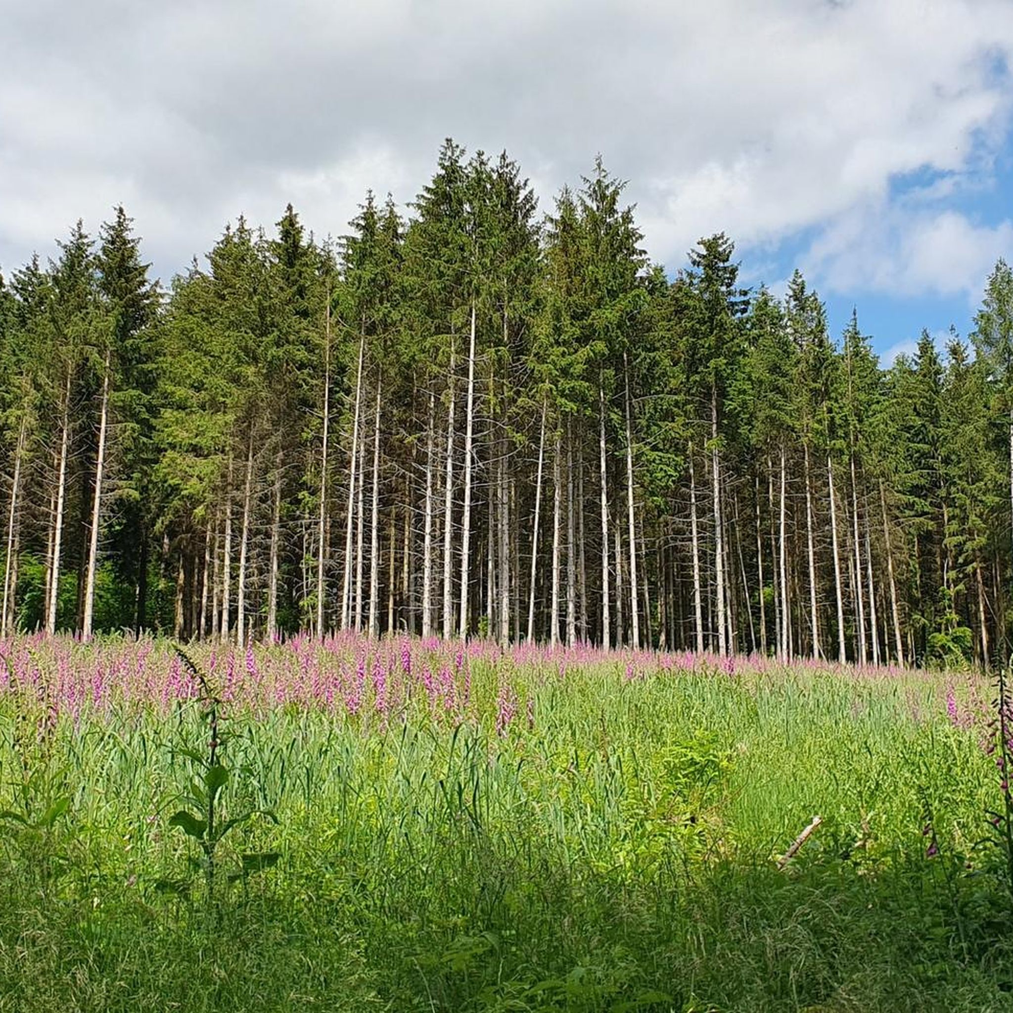
Road Cycling Routes around Oberaula
Running Trails around Oberaula

Gravel biking around Oberaula
Other adventures around Oberaula


Tips from the Community

The Ibra Kuppe, with great panoramic views and a large shelter.
0
0

At 480.5 m above sea level, the Stellerskuppe is the highest elevation in the Bad Hersfeld area. From 1935 to 1948 there was a wooden observation tower here. Some of the foundation remains can still be discovered and an information board shows historical photos.
1
1

Nice section and there is a small rest area on the top. 👍🏻
3
1

Here on the Ebigköpfchen (426m), you can enjoy the beauty of nature while taking a break. A table with two benches await you.
6
1
There is a 12 meter high lookout tower on the mountain. Built in 1978 as a crumple tower, it was renamed the August Franke Tower in 1984. To the west, a little below the summit, there is a 46-meter-high steel-frame transmission tower for the Deutsche Bundespost. It is used for radio transmission and is also used by a local group of the amateur radio club. Source: https://de.wikipedia.org/wiki/Kn%C3%BCllk%C3%B6pfchen
8
2

A beautiful place to unwind, the peace and quiet and the view in all directions are wonderful.
0
0

Nice view up there. It is a great destination for hiking and cycling. You will be rewarded and it invites you to linger there
5
0

Information board on the former observation tower
3
3
Frequently Asked Questions
What are some of the most popular mountain peaks and viewpoints around Oberaula?
Visitors frequently enjoy the Knüll Tower (Knüllköpfchen), a man-made monument offering extensive panoramic views of the Rhön, Taunus, and Meissner regions. Another highly-rated spot is the August Franke Tower on Knüllköpfchen, which also provides wonderful views and serves as a starting point for hikes. The Ibra-Kuppe, a distinctive basalt cone, is also popular for its great all-round views after a short walk to the summit.
Are there family-friendly mountain peaks or trails suitable for children around Oberaula?
Yes, the Knüll Tower (Knüllköpfchen) is noted as family-friendly, offering wide views and good photo opportunities. The region's rolling hills and green forests provide a picturesque backdrop for accessible hikes, making many trails suitable for families.
Can I bring my dog on hikes to the mountain peaks near Oberaula?
Absolutely. The Ibra-Kuppe is specifically mentioned as suitable for dog-friendly tours, with forest paths that are well-maintained and offer opportunities for dogs to refresh themselves in water holes or forest streams.
What kind of natural features can I expect to see when visiting the peaks around Oberaula?
The region is characterized by the low mountain range of the Knüllgebirge, featuring rolling hills and green forests. Peaks like the Eisenberg and Ibrakuppe offer extensive views of the surrounding landscape. You can also find natural monuments and areas like the Lochbachklamm Gorge, known for its 'wildly romantic' character, and the Buchenwald Nature Reserve with its extensive woodlands.
Are there historical sites or unique landmarks on the peaks around Oberaula?
Yes, the Stellerskuppe Summit and Historical Remains is a notable site. While once a popular destination with a tower, it was later used as a quarry, and today you can still see a small bunker and old foundations. The formation of the summit itself is also very interesting, with some visitors noting its crater-like appearance.
What outdoor activities, besides hiking, can I do near the mountain peaks of Oberaula?
Beyond hiking, the area around Oberaula offers various outdoor activities. You can explore gravel biking routes, with options like the 'Rotkäppchen Railway Cycle Path' or routes connecting to the Eisenberg. There are also dedicated running trails, such as loops from Oberaula that pass by the Osterbach Stream or Hollenbachsee.
What are some recommended hiking trails around Oberaula, and what are their difficulty levels?
The region offers a variety of hiking trails, generally of moderate difficulty. Popular options include the 'Goldborn' and 'Tanzplatz' Fable paths, both premium hiking trails. Other moderate routes include the 'Bench at Kohlhainer' loop from Olberode and the 'Goldborn – Christerode Waterfall and Pond' loop from Oberaula. You can find more details on these and other routes in the hiking guide for Oberaula.
What is the best time of year to visit the mountain peaks around Oberaula for hiking?
The region's rolling hills and green forests are beautiful throughout the warmer months. Spring and autumn offer pleasant temperatures and vibrant scenery, while summer provides longer daylight hours for exploration. The natural beauty and recreational activities are accessible for much of the year, though sturdy shoes are recommended, especially after rain, due to potentially slippery paths in areas like the Lochbachklamm Gorge.
Are there picnic areas or places to rest on the mountain peaks?
Yes, the Ebigköpfchen Summit Picnic Area is a great spot to enjoy nature and take a break, featuring a table with two benches. Other peaks and trails often have suitable spots for a rest, allowing visitors to enjoy the views and tranquility.
What do visitors enjoy most about the mountain peaks around Oberaula?
Visitors appreciate the extensive and wonderful views from various peaks and towers, such as the Knüll Tower and August Franke Tower. The tranquility, the opportunity to unwind, and the well-maintained hiking trails suitable for both people and dogs are also frequently highlighted. The combination of accessible hiking and the picturesque natural environment of the Knüllgebirge makes for a rewarding experience.
How accessible are the mountain peaks around Oberaula, and is parking available?
The peaks in the Knüllgebirge are generally accessible, offering different levels of difficulty for hikers. While specific parking information for each peak isn't detailed, the region is known for facilitating outdoor activities, implying reasonable access points. Many hiking trails start from villages or designated trailheads, where parking is typically available.
Most popular routes around Oberaula
Most popular attractions around Oberaula

Get inspired with the komoot mobile app


Explore more
See even more amazing summits around Oberaula with these guides:
