The best road cycling routes around Stoneyburn
4.8
(28)
2,852
riders
199
rides
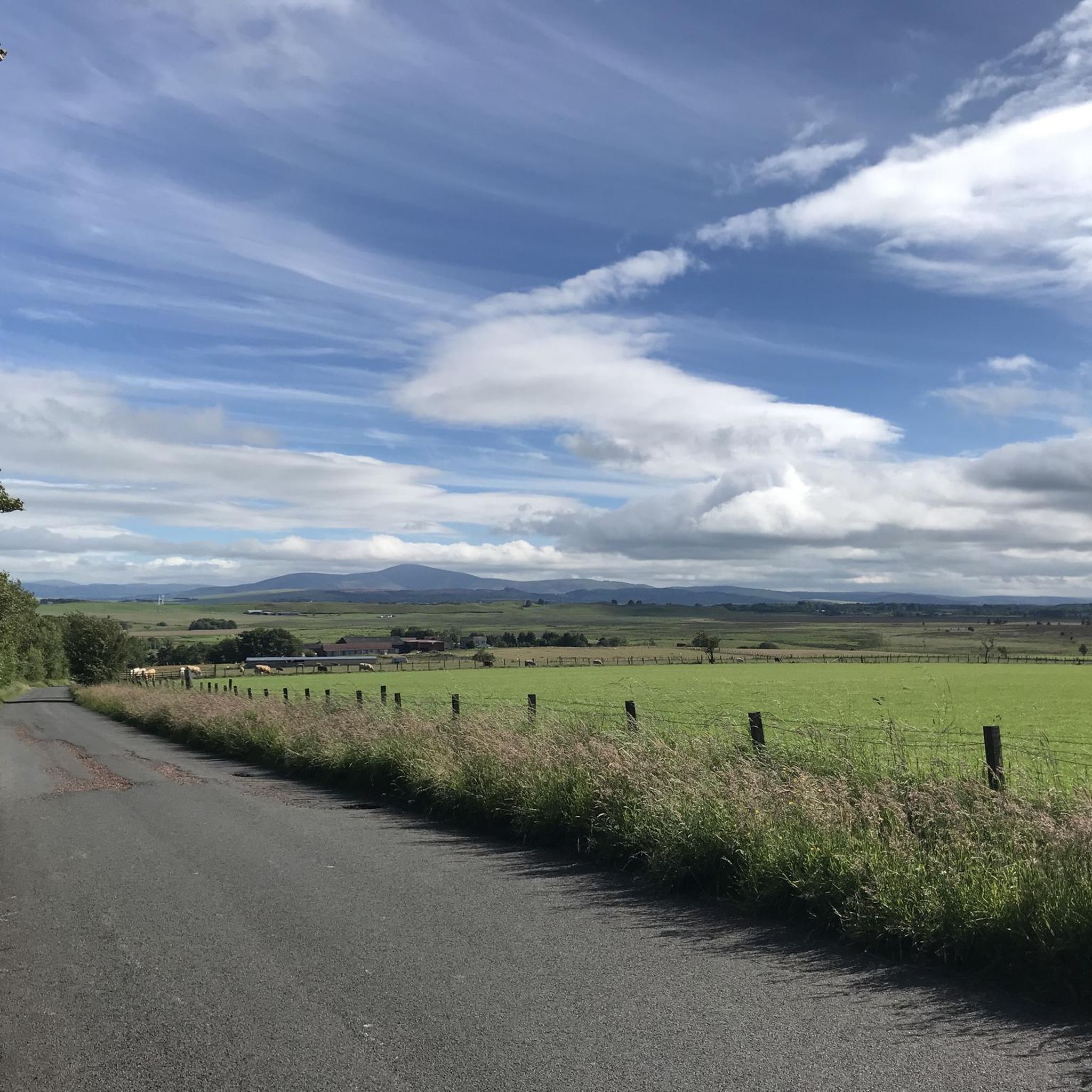
Road cycling routes around Stoneyburn offer varied terrain in West Lothian, suitable for different skill levels. The area features mostly paved surfaces with elevation gains ranging from around 500 feet for shorter rides to over 1500 feet for longer routes. Natural features like the Harperrig Reservoir and historical landmarks such as the Camps Viaduct and Cairnpapple Hill provide points of interest along the way.
Best road cycling routes around Stoneyburn
- The most popular road cycling route is Wind Turbines Near…
Last updated: July 9, 2026
22
riders
35.4km
01:34
310m
310m
Moderate road ride. Good fitness required. Mostly well-paved surfaces and easy to ride.
18
riders
63.2km
04:29
500m
500m
Moderate road ride. Good fitness required. Some segments of this route may be unpaved and difficult to ride.

Sign up for free
12
riders
79.2km
03:27
600m
600m
Moderate road ride. Good fitness required. Some segments of this route may be unpaved and difficult to ride.
8
riders
70.4km
03:04
560m
560m
Moderate road ride. Good fitness required. Some segments of this route may be unpaved and difficult to ride.
8
riders
47.6km
02:18
460m
460m
Moderate road ride. Good fitness required. Mostly well-paved surfaces and easy to ride.
Get access to more routes and recommendations from other explorers.
Sign up for free
Already have an account?
Our route recommendations are based on thousands of hikes, rides, and runs completed by other people on komoot.
Start today with a free account
Your next adventure awaits.
Login or Signup
Tips from the Community

that place is creepy as fuk at night but all down hill if going north so thats sick, its actually really nice, if my bike wasn't a bastard id enjoy that ride
0
0

Short, pretty country road over rolling fields to the east of Morningside town
0
0

Save the Roseburn Path! There is a consultation online - proposals are underway to bulldoze the path and put trams in. https://consultationhub.edinburgh.gov.uk/sfc/tram-north-south/ Edinburgh has a wonderful network of off road cycling in a beautiful environment and they are planning to take it away. Keep Edinburgh green, keep our cycle spaces safe!
0
0


A super nice tunnel that makes for a good photo stop. A great addition to your cycle journey through Edinburgh.
0
0
This is a super photo stop. The tunnel is beautifully decorated with striking murals and is illuminated too so it sheds a bit more light on the topic!
0
0


Fun little graffiti wall just before the beautiful views open up.
0
0
Frequently Asked Questions
What kind of terrain can I expect on road cycling routes around Stoneyburn?
Road cycling routes in Stoneyburn offer varied terrain within West Lothian. You'll find mostly paved surfaces, with elevation gains ranging from around 500 feet for shorter, easier rides to over 1500 feet for more challenging, longer routes. Some longer routes may include unpaved segments.
How many road cycling routes are available in the Stoneyburn area?
There are over 200 road cycling routes around Stoneyburn. This includes a wide range of options, with approximately 50 easy routes, 150 moderate routes, and 8 more difficult routes to choose from.
Are there any circular road cycling routes in Stoneyburn?
Yes, many of the road cycling routes around Stoneyburn are circular. For example, you can explore the Wind Turbines Near Woolfords – Pateshill Wind Farm loop from West Calder, or the longer Colinton Tunnel – Colinton Tunnel Mural loop from West Calder, both offering scenic circular journeys.
What are some notable landmarks or natural features to see while road cycling near Stoneyburn?
The Stoneyburn area is rich with points of interest. You can cycle past the scenic Harperrig Reservoir, a habitat for diverse wildlife, or view the historic Camps Viaduct with its nine arches. Cairnpapple Hill, an ancient archaeological site, also offers a cultural point of interest.
Are there road cycling routes suitable for beginners or those looking for an easy ride?
Yes, Stoneyburn offers approximately 50 easy road cycling routes. These typically involve rides lasting up to two hours with around 500 feet of elevation gain, primarily on paved surfaces, making them ideal for beginners or a relaxed outing.
What do other road cyclists enjoy most about the routes in Stoneyburn?
The routes in Stoneyburn are highly rated by the komoot community, with an average score of 4.9 stars from over 20 reviews. Cyclists often praise the varied terrain, the scenic views of natural features like Harperrig Reservoir, and the historical structures such as the Camps Viaduct that can be found along the way.
Are there longer, more challenging road cycling routes available?
For experienced cyclists seeking a challenge, Stoneyburn has routes extending up to five hours or longer, with elevation gains exceeding 1500 feet. An example of a longer route is the Wind Turbines Near Woolfords – Bridge Over Douglas Water loop from West Calder, which covers over 92 kilometers.
Can I find routes that feature specific attractions like wind farms?
Yes, some routes specifically highlight local features like wind farms. The Wind Turbines Near Woolfords – Pateshill Wind Farm loop from West Calder is a popular option that offers views of the local wind farms.
Are there any routes that pass through interesting urban or artistic areas?
Yes, the Colinton Tunnel – Colinton Tunnel Mural loop from West Calder includes a section featuring the impressive Colinton Tunnel Mural, offering a unique artistic element to your ride.
What is the typical duration for road cycling routes in Stoneyburn?
Route durations vary significantly. Easy rides can be completed in under two hours, while moderate routes like the The Appetizing Bakery – Wind Turbines Near Woolfords loop from West Calder typically take around 3 hours. Longer, more challenging routes can extend to five hours or more.
Are there routes that offer views of railway tracks or historical railway infrastructure?
Yes, you can find routes that incorporate views of historical railway infrastructure. The Railway Track View loop from Breich is an example of a route that offers glimpses of the local railway lines.
Most popular attractions around Stoneyburn

Get inspired with the komoot mobile app


Explore more
Browse the best Road cycling routes in other regions.
