The best road cycling routes around Crofton
4.4
(75)
4,444
riders
425
rides
Road cycling around Crofton, Maryland, offers access to a network of paved trails and diverse landscapes. The region features mostly flat to gently rolling terrain, making it suitable for various fitness levels. Cyclists can explore routes that traverse green spaces, connect to historical trails, and follow river greenways. The area's infrastructure supports road cycling with well-maintained paths and connections to broader regional trail systems.
Best road cycling routes around Crofton
- The most popular road cycling route is Nostell Upper Lake…
Last updated: July 11, 2026
31
riders
35.4km
01:34
220m
220m
Easy road ride. Great for any fitness level. Mostly well-paved surfaces and easy to ride.
10
riders
42.3km
02:07
440m
440m
Moderate road ride. Good fitness required. Mostly well-paved surfaces and easy to ride.

Sign up for free
16
riders
57.5km
02:53
810m
810m
Moderate road ride. Good fitness required. Some segments of this route may be unpaved and difficult to ride.
5.0
(1)
15
riders
Moderate road ride. Good fitness required. Mostly well-paved surfaces and easy to ride.
5.0
(1)
12
riders
45.2km
02:04
340m
340m
Moderate road ride. Good fitness required. Mostly well-paved surfaces and easy to ride.
Get access to more routes and recommendations from other explorers.
Sign up for free
Already have an account?
Our route recommendations are based on thousands of hikes, rides, and runs completed by other people on komoot.
Start today with a free account
Your next adventure awaits.
Login or Signup
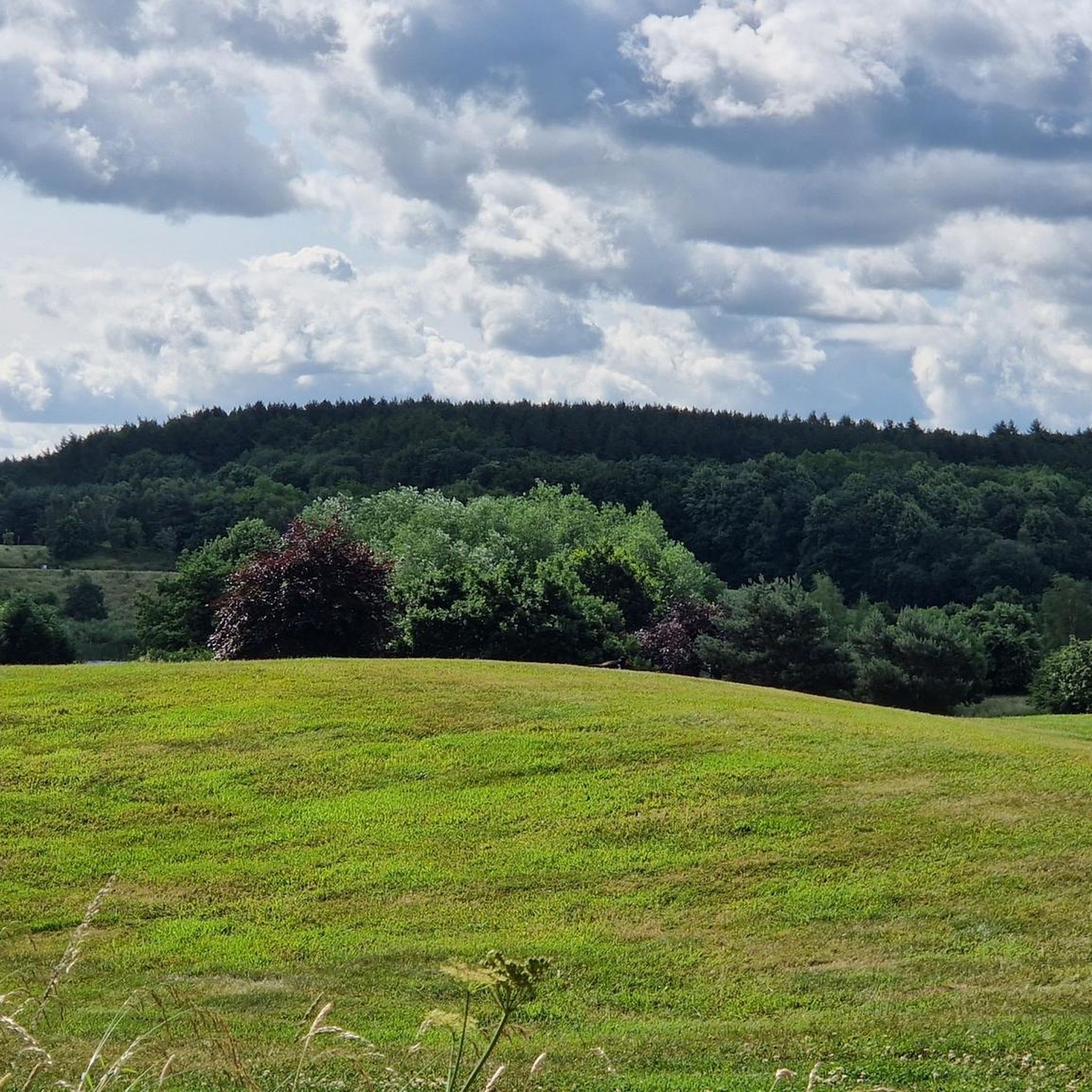
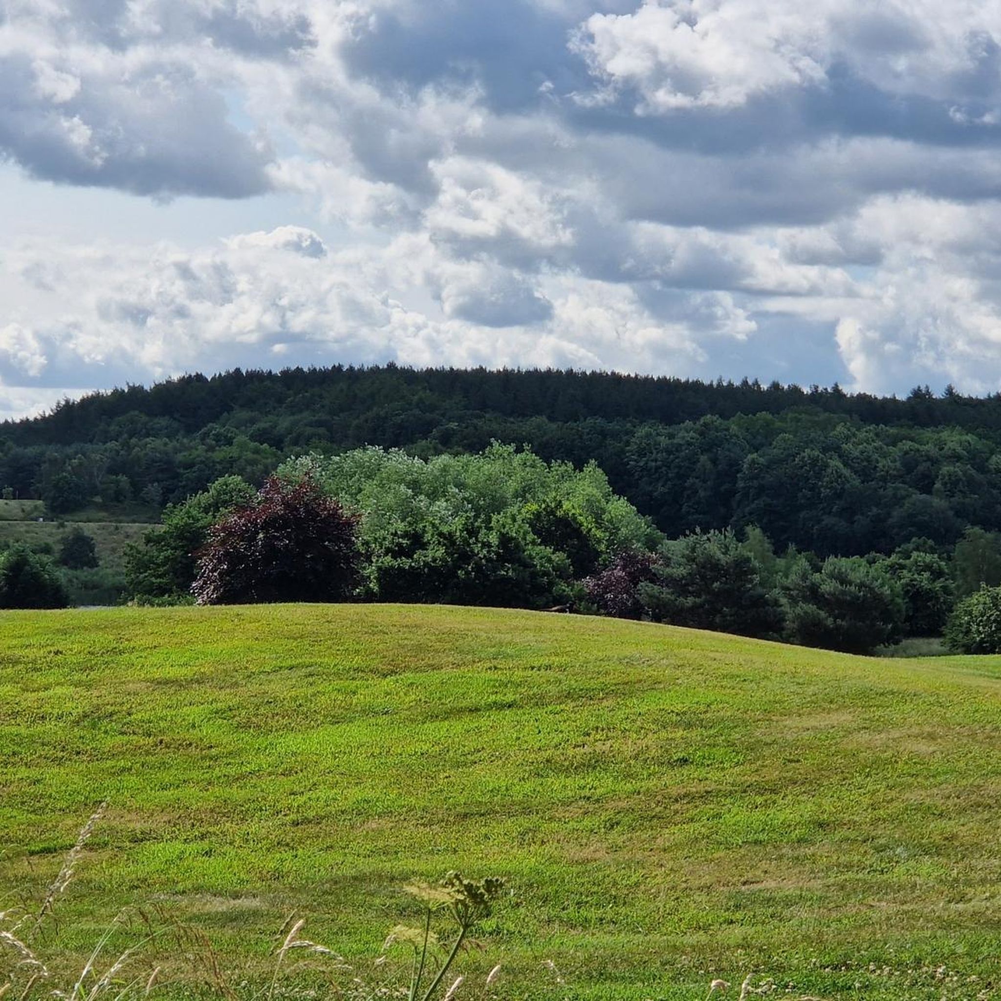
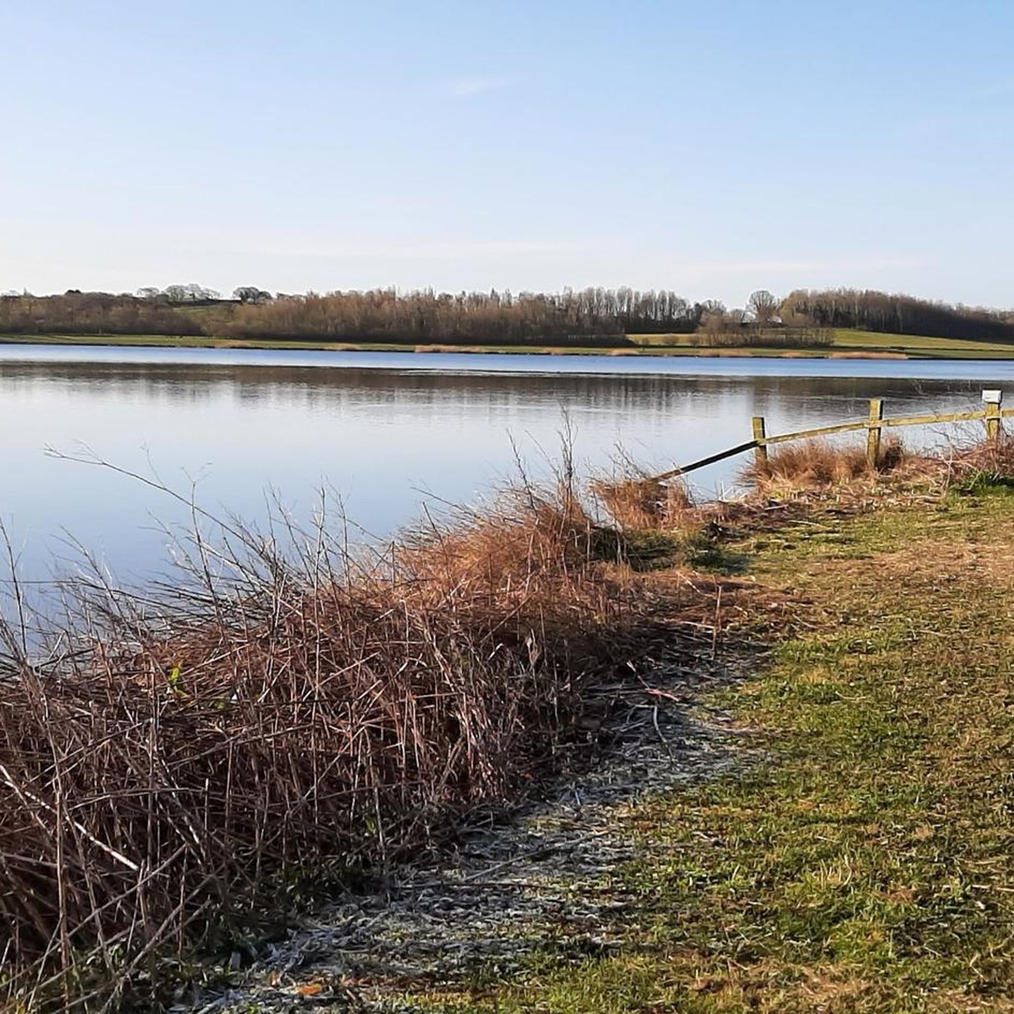
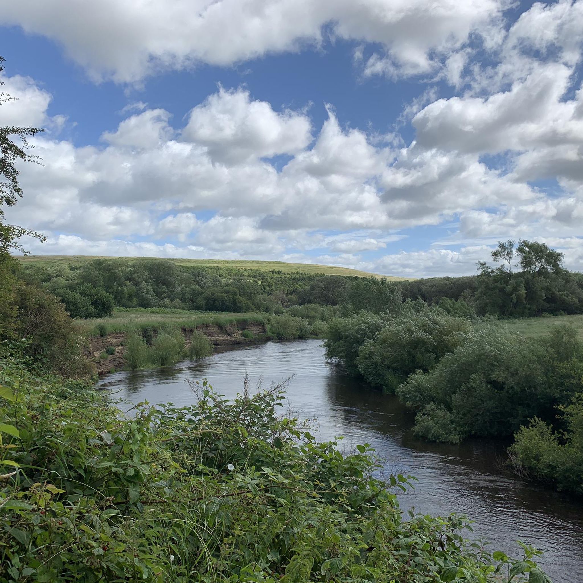

Tips from the Community

UK's tallest tower although without anything nearby it's hard to get a sense of scale. There's a layby with bins and views over the surrounding countryside.
0
0

There is no cycling around the water. There is a fabulous steep hill down to the dam. Take care hehe
0
0

Cracking viewpoint with 360 degree full panorama views. Great place for a sandwich break.
0
0

Emley Moor Mast is a TV transmitter that is the tallest free standing tower in the UK. At 319m high (1047ft), it is taller than the Eiffel Tower. It provides television coverage for most of Yorkshire and across to Manchester and the Pennines. The mast dominates the skyline around here and can be seen for miles.
0
0
Newmillerdam is the name given to a nearby village, the lake and the country park surrounding it. The Lakeside cafe is at the lake's northern most tip. There is also The Boathouse on the eastern edge but this is not as easily accessible by road bike. It is an area popular with walkers and the trees are a spectacular sight in their autumnal colours.
0
0

My new happy place! The views are hard earned with the steep climbs on the edges but once you're up, you can see everything!
0
0

Great view from 1000 feet above sea level. 360 degree view over South/West Yorks and Peak district National park.
1
0
The Chantry Chapel of St Mary the Virgin, Wakefield, is a chantry chapel in Wakefield, West Yorkshire, England, and is designated a Grade I Listed building by English Heritage. It is located south of the city centre on the medieval bridge over the River Calder
0
0
Frequently Asked Questions
Are there easy road cycling routes suitable for beginners in Crofton?
Yes, Crofton offers a good selection of easy road cycling routes. Over 100 routes are categorized as easy, featuring mostly paved surfaces and gentle terrain. For example, the Nostell Upper Lake – Farmer Copley's loop from Crofton is an easy 14.6-mile ride. The WB&A Trail and Patuxent River Greenway also provide accessible, well-maintained paths perfect for those new to road cycling.
Where can I find longer road cycling routes around Crofton?
For longer rides, Crofton has numerous options, with over 240 routes categorized as moderate and nearly 40 as difficult. You can explore routes like the Pineapple Hill – Fairburn Ings Nature Reserve loop from Sandal and Agbrigg, which covers almost 60 miles (97.2 km) with moderate elevation changes. Many routes extend up to 48 miles (78 km), offering diverse landscapes and challenges.
What kind of scenic views or landmarks can I expect on road cycling routes in Crofton?
Road cycling routes in Crofton offer a mix of natural beauty and historical interest. You can ride through green spaces, along river paths like the Patuxent River Greenway, and past open agricultural landscapes. The B&A Trail features wildflowers and horse farms, along with a 'Planet Walk' with historical markers. Nearby attractions include the Newmillerdam Lake and the RSPB St Aidan's Nature Reserve. Historical sites like the Katcef Archeological Site and Linthicum Walks also add cultural depth to your rides.
Are there many loop road cycling routes available in Crofton?
Yes, Crofton is well-suited for loop road cycling routes. Many trails, such as segments of the WB&A Trail and Patuxent River Greenway, are designed to form loops of varying lengths. For instance, the Pineapple Hill – Methley Donkeys loop from Sandal and Agbrigg is a popular 19-mile (30.6 km) option, and the View of the Countryside Fields – Grimpit Hill loop from Sandal and Agbrigg offers a 23.4-mile (37.7 km) ride through open fields.
Are the road cycling routes in Crofton suitable for families?
Many road cycling routes in Crofton are family-friendly, especially those categorized as easy. The WB&A Trail and Patuxent River Greenway are excellent choices, offering paved, well-maintained surfaces with gentle inclines, making them accessible for cyclists of all ages and skill levels. These trails often provide a safe and enjoyable environment away from heavy traffic.
Is parking available near the road cycling trails in Crofton?
Yes, parking is generally available at various trailheads and access points for the major road cycling trails in and around Crofton. Trails like the WB&A Trail and Patuxent River Greenway typically have designated parking areas to accommodate cyclists.
What is the best time of year to go road cycling in Crofton?
The best time of year for road cycling in Crofton is typically during the spring and fall months. These seasons offer pleasant temperatures and comfortable riding conditions. Summer can also be enjoyable, though it's advisable to ride earlier in the morning or later in the afternoon to avoid the peak heat and humidity.
What do other road cyclists enjoy most about the routes in Crofton?
The road cycling routes in Crofton are highly rated by the komoot community, with an average score of 4.4 stars from over 70 reviews. Cyclists often praise the well-maintained paved greenways, the diverse landscapes ranging from river paths to open agricultural fields, and the accessibility for various fitness levels. The supportive local cycling community also contributes to a positive experience.
Are there any historical sites or castles I can visit while road cycling near Crofton?
Yes, Crofton's location allows access to several historical sites and even castle ruins. While cycling, you might pass by historical markers on the B&A Trail. For specific historical attractions, you can explore highlights like Pontefract Castle Ruins or Sandal Castle Ruins, which are within reach and offer a glimpse into the region's past.
How many road cycling routes are available in Crofton?
There are over 390 road cycling routes available around Crofton, catering to a wide range of preferences and skill levels. This includes more than 100 easy routes, over 240 moderate options, and nearly 40 challenging rides, ensuring there's something for every road cyclist.
Can I find routes with significant elevation gain for a more challenging ride?
While much of Crofton features gentle terrain, there are routes that offer more significant elevation gain for those seeking a challenge. For example, the Newmillerdam Lake – Royd Moor Viewpoint loop from Sandal and Agbrigg is a moderate 35.7-mile (57.5 km) route with over 800 meters of ascent, providing a more demanding experience.
Most popular attractions around Crofton

Get inspired with the komoot mobile app


Explore more
Browse the best Road cycling routes in other regions.
