The best road cycling routes around Darrington
4.5
(61)
3,167
riders
237
rides
Road cycling routes around Darrington are characterized by their setting within the Cascade Mountains, offering diverse landscapes for riders. The region features prominent views of Whitehorse Mountain, alongside routes that follow the Stillaguamish and Sauk Rivers. Cyclists can explore lush forest roads, some paved and some gravel, providing varied terrain through valleys and past waterfalls.
Best road cycling routes around Darrington
- The most popular road cycling route is Pontefract loop of the River Aire, a 39.1 miles (62.9 km) trail that takes 2 hours 46 minutes to complete. This moderate route features a gentle elevation gain of 751 feet (229 meters).
- Another top favourite among local road cyclists is Iron Horse Equestrian Café – Askern Lake loop from Pontefract Baghill, a moderate 52.4 miles (84.4 km) path. This route offers scenic views and an elevation gain of 855 feet (261 meters).
- Local road cyclists also love the Carlton Towers – Birkin Tea Room loop from Knottingley, a 30.4 miles (49.0 km) trail leading through varied terrain, often completed in about 2 hours 13 minutes.
- Road cycling around Darrington is defined by mountain vistas, river valleys, and dense forest lands, with options for both paved and gravel sections. The network offers options for different ability levels, from relaxed rides to more challenging climbs.
- The routes in Darrington are highly rated by the komoot community with an average score of 4.4 stars from over 50 reviews. More than 3000 road cyclists have used komoot to explore Darrington's varied terrain.
Last updated: October 1, 2026
5.0
(2)
42
riders
62.9km
02:46
230m
230m
Cycle the moderate 39.1-mile Pontefract loop of the River Aire, exploring historic Hillam village and Fairburn Ings Nature Reserve.
5.0
(1)
128
riders
84.4km
03:29
260m
260m
Moderate road ride. Good fitness required. Mostly well-paved surfaces and easy to ride.

4.5
(4)
147
riders
49.1km
02:13
110m
110m
Moderate road ride. Good fitness required. Mostly well-paved surfaces and easy to ride.
5.0
(2)
109
riders
48.0km
02:04
100m
100m
Moderate road ride. Good fitness required. Mostly well-paved surfaces and easy to ride.
4.0
(1)
74
riders
81.6km
03:32
230m
230m
Moderate road ride. Good fitness required. Mostly well-paved surfaces and easy to ride.
Get access to more routes and recommendations from other explorers.
Already have an account?
Our route recommendations are based on thousands of hikes, rides, and runs completed by other people on komoot.
Start today with a free account
Your next adventure awaits.
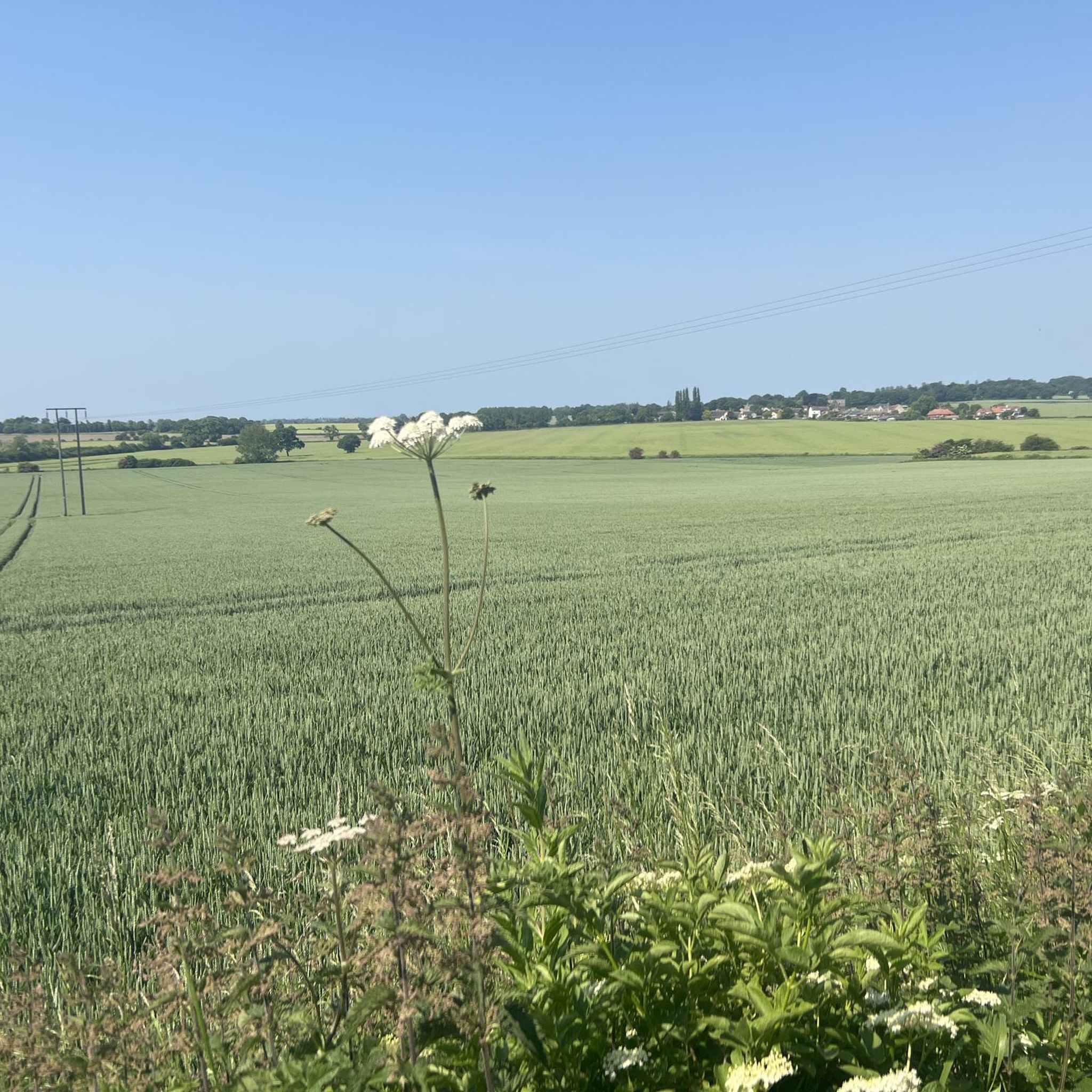
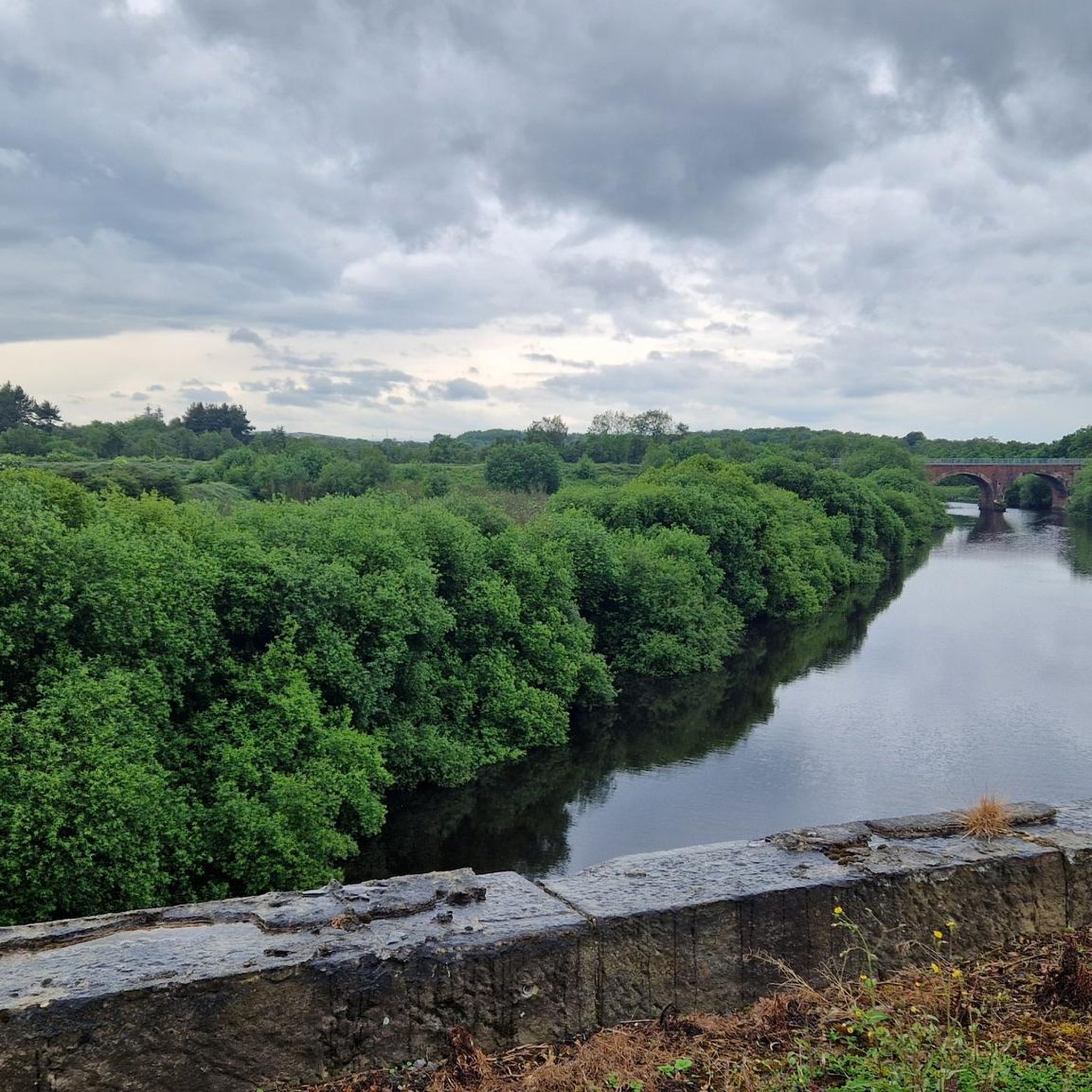
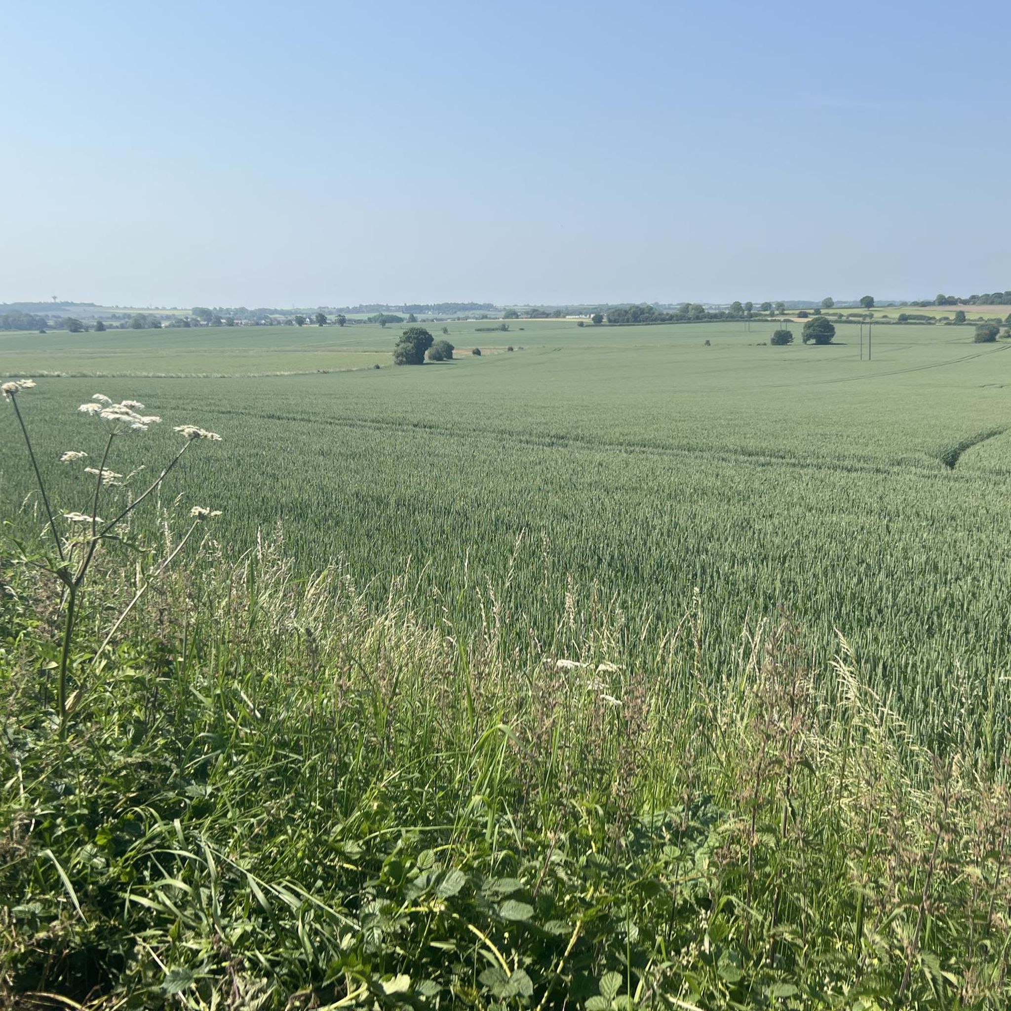

Tips from the Community


Bridge over the River Aire, north of Snaith.
2
0
Low Lane Swing Bridge is a minor waterways place on the Sheffield and South Yorkshire Navigation (New Junction Canal) between Sykehouse Lift Bridge (Sykehouse village is about a mile to the east.) (3 miles and 5½ furlongs and 1 lock to the northeast) and Bramwith Junction (Junction of Sheffield and South Yorkshire Navigation main line with New Junction Canal) (6¾ furlongs to the southwest). https://canalplan.uk/place/emmj
1
0

An ancient market town that is still thriving today, dominated by its Priory Church which dates back to Anglo-Saxon times. An ideal place to grab a hot meal in any of its pubs and cafes, or visit the local brewery.
1
0

One of the few bridges that goes over the river Don. The tranquility of the river is quite beguiling but be careful as there is no footpath going over the bridge.
1
0


Frequently Asked Questions
How many road cycling routes are available around Darrington?
Darrington offers a wide selection of road cycling routes, with nearly 250 different tours available. These routes cater to various skill levels, including 88 easy, 139 moderate, and 22 difficult options, ensuring there's a ride for everyone.
What kind of terrain can I expect on road cycling routes in Darrington?
Road cycling around Darrington is characterized by diverse terrain, ranging from mountain vistas and river valleys to dense forest lands. You'll find options for both paved and gravel sections, with routes following the Stillaguamish and Sauk Rivers and offering prominent views of Whitehorse Mountain.
Are there any family-friendly road cycling options in Darrington?
Yes, for a more relaxed and family-friendly experience, the Whitehorse Trail is an excellent choice. This rails-to-trails experience offers a relatively flat route amid a canopy of trees and along rivers, with very little elevation gain. It's ideal for a leisurely ride and connects Arlington to Darrington, with refreshments available in communities like Oso.
What are the conditions like on the Mountain Loop Highway for road cyclists?
The Mountain Loop Highway is a significant draw for road cyclists, offering breathtaking views of the North Cascades. It features both paved and gravel sections. From Granite Falls, 34 miles are paved, following the South Fork Stillaguamish River. After Barlow Pass, there's a 13-mile gravel section before returning to pavement closer to Darrington. Riding on a weekday can offer lighter traffic, enhancing safety.
What do other road cyclists enjoy most about the routes in Darrington?
The road cycling routes in Darrington are highly rated by the komoot community, with an average score of 4.4 stars from over 50 reviews. Cyclists often praise the stunning mountain vistas, the immersive experience of riding through lush forest roads, and the variety of terrain that accommodates different abilities.
Are there any scenic viewpoints or natural attractions along the road cycling routes?
Absolutely! Darrington's routes are rich with natural beauty. You'll encounter numerous waterfalls, lush forest canopies, and vibrant displays of wildflowers, particularly along the various forest roads. The region is cradled by the majestic Cascade Mountains, providing dramatic backdrops, and views of Whitehorse Mountain are prominent from many areas.
Can I find places to stop for a break or picnic along the routes?
Yes, there are several pleasant spots for a break. Various parks and Forest Service sites like Harold Engles City Park, Nels Bruseth Memorial Garden, and White Chuck Overlook offer picnic tables and views of the surrounding natural beauty, perfect for a mid-ride stop.
What is the best time of year for road cycling in Darrington?
While specific seasonal recommendations aren't provided, the diverse landscapes of Darrington, with its rivers, forests, and mountain views, suggest that spring through fall would offer the most pleasant conditions for road cycling, allowing riders to enjoy the lush scenery and avoid winter conditions.
Are there any specific challenges or considerations for road cycling in Darrington?
Some routes, particularly certain forest roads, may include gravel sections, so riders should be prepared for varied surfaces. Additionally, while SR 530 can be used for cycling, be aware of narrow shoulders and potential truck traffic. Always check local conditions and weather before heading out.
What are some notable landmarks or points of interest near the cycling routes?
While cycling, you might encounter historical sites along the Whitehorse Trail. For specific points of interest, consider visiting Ferrybridge Old Bridge or the tranquil Fairburn Ings RSPB Nature Reserve. For a break, the Birkin Tea Room is a popular stop.
Are there any loop routes available for road cyclists?
Yes, Darrington offers several loop routes for road cyclists. For example, you can explore the Pontefract loop of the River Aire, a moderate 39.1-mile route, or the longer Iron Horse Equestrian Café – Askern Lake loop, which covers 52.4 miles with scenic views.
What are the elevation gains like on Darrington's road cycling routes?
The elevation gains vary significantly across Darrington's routes, catering to different fitness levels. Moderate routes like the Pontefract loop of the River Aire feature a gentle elevation gain of about 751 feet (229 meters), while others can offer more challenging climbs through the mountainous terrain.
Most popular attractions around Darrington

Get inspired with the komoot mobile app


Explore more
Browse the best Road cycling routes in other regions.
