Stirchley And Brookside
Stirchley And Brookside
The best road cycling routes around Stirchley And Brookside
4.6
(155)
4,146
riders
379
rides
Road cycling routes around Stirchley And Brookside offer varied terrain, from urban green spaces to canal towpaths and dedicated cycle routes. The region features waterways like the River Rea and the Worcester and Birmingham Canal, providing accessible cycling paths. While Stirchley in Birmingham is known for its integration into the city's cycling network, the "Brookside" referenced in the guide data primarily relates to a parish in Telford & Wrekin, characterized by wooded pit mounds, picturesque pools, and historic sites. The landscape includes a mix of urban and semi-rural environments, with some routes featuring moderate elevation gains.
Best road cycling routes around Stirchley And Brookside
- The most popular road cycling route is View of the Iron Bridge – Coalport Bridge loop from The Telford Park School, a 25.3 miles (40.8 km) trail that takes 3 hours 9 minutes to complete. This moderate route features a significant elevation gain of over 470 meters.
- Another top favourite among local road cyclists is Pond – Silkin Way loop from Madeley, an easy 21.8 miles (35.2 km) path. This route offers a more relaxed ride with less elevation, suitable for various skill levels.
- Local road cyclists also love the View of the Iron Bridge – Jackfield Free Bridge loop from Dawley, a 14.5 miles (23.3 km) trail leading through areas with over 450 meters of elevation gain, often completed in about 1 hour 19 minutes.
- Road cycling around Stirchley And Brookside is defined by canal towpaths, river valleys, and rolling hills. The network offers options for different ability levels, from easy, flat paths to more challenging routes with notable climbs.
- The routes in Stirchley And Brookside are highly rated by the komoot community with an average score of 4.6 stars from more than 120 reviews. More than 4000 road cyclists have used komoot to explore Stirchley And Brookside's varied terrain.
Last updated: October 21, 2026
2.0
(1)
23
riders
Moderate road ride. Good fitness required. Some segments of this route may be unpaved and difficult to ride.
5
riders
34.9km
01:37
300m
300m
Easy road ride. Great for any fitness level. Mostly well-paved surfaces and easy to ride.

5
riders
21.4km
01:12
410m
410m
Moderate road ride. Good fitness required. Mostly well-paved surfaces and easy to ride.
11
riders
23.2km
01:20
400m
400m
Moderate road ride. Good fitness required. Mostly well-paved surfaces and easy to ride.
3.0
(1)
10
riders
10.2km
00:32
70m
70m
Easy road ride. Great for any fitness level. Mostly well-paved surfaces and easy to ride.
Get access to more routes and recommendations from other explorers.
Already have an account?
Our route recommendations are based on thousands of hikes, rides, and runs completed by other people on komoot.
Start today with a free account
Your next adventure awaits.
Tips from the Community

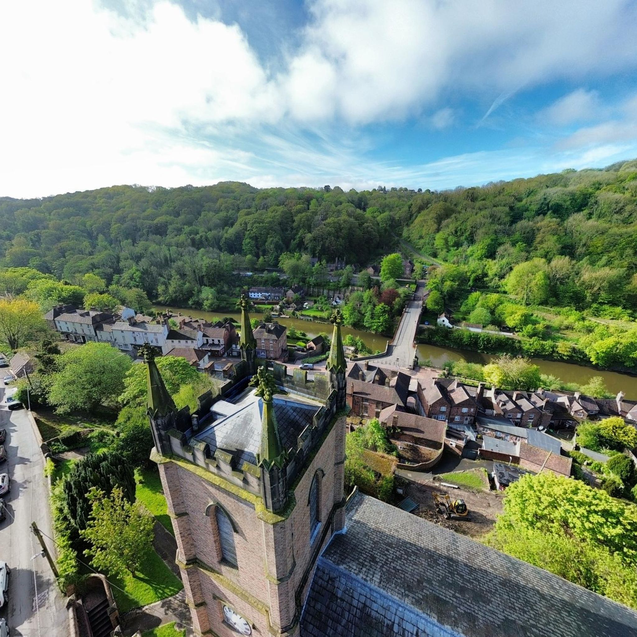
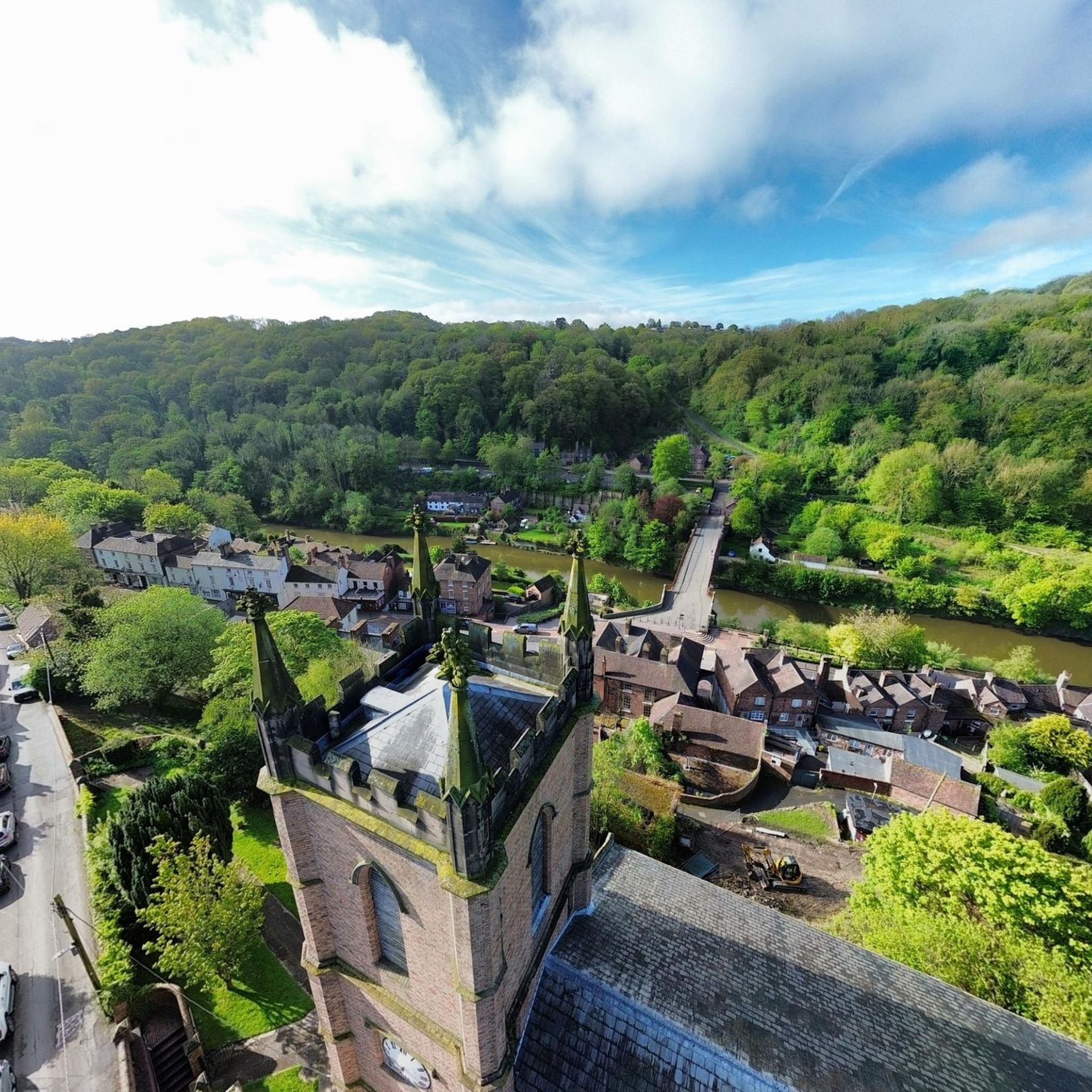
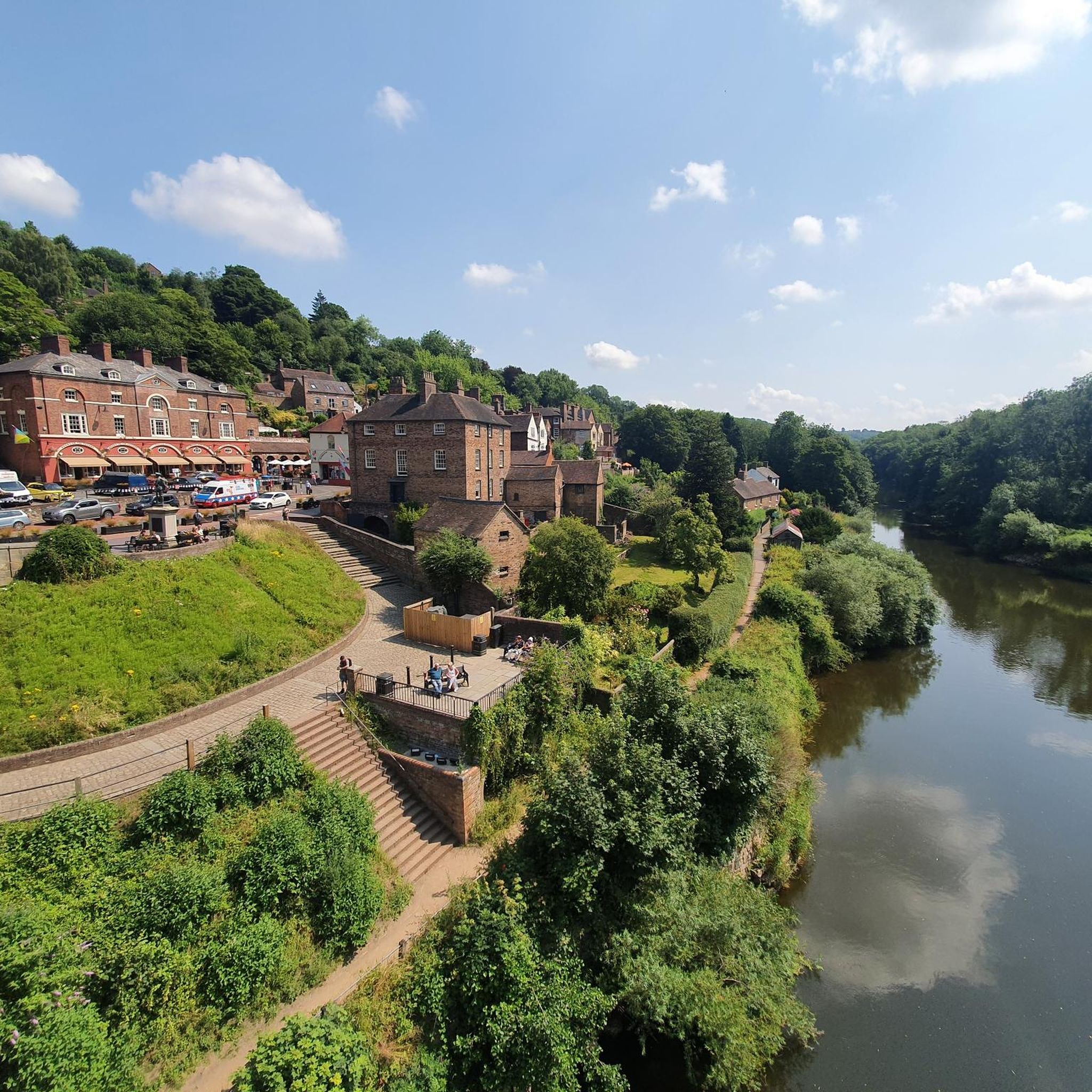
"In order to be able to transport his goods, the ironworks owner Abraham Darby III was looking for an architect who could build him a stable bridge made of "stone, brick or wood" across the five-kilometer-wide valley of the Severn in central England. Thomas Pritchard accepted the challenge, but he built a bridge made of cast iron, the completion of which in 1781 marked the beginning of the new "Iron Age". It was the largest free-floating bridge construction of the time. Built at the highest point of the valley, the Iron Bridge became a symbol of the industrial power of the Darbys and a monument to the Industrial Revolution." With these words, the website for the television series "Treasures of the World - Heritage of Humanity" presents its film contribution (in German) about the UNESCO-recognized World Heritage Site "Iron Bridge": https://www.ardmediathek.de/video/schaetze-der-welt/ironbridge-grossbrittanien-folge-156/3sat/Y3JpZDovL3N3ci5kZS83MTUyMDA4
2
0

Great little bridge, single file for cars with small footpaths either side.
1
0
There is a little stream at the other side of the road, which is amazing to wash your dog off before they get back in the car!!
1
0

Has anyone got tips on affordable but good car rack for a bike? 🙂 would love to do this tour around Ironbridge.
0
0

Completed in 1818, Coalport Bridge is a historic single-arch cast iron bridge that spans the River Severn in the Ironbridge Gorge in Shropshire. The bridge embodies the rich industrial heritage of the region and, in contrast to the more famous Iron Bridge located two miles upstream, it still carries vehicular traffic. Traffic crosses the bridge one way at a time and is subject to a height limit of 6 ft 6 in. Coalport Bridge is arguably more impressive to view than the Iron Bridge because of its lean and streamlined design. The bridge is best-viewed from either upstream of downstream as crossing the bridge will not display all of its merits.
2
0

Frequently Asked Questions
How many road cycling routes are available in Stirchley And Brookside?
There are over 400 road cycling routes in the Stirchley And Brookside area, catering to various skill levels. You'll find a good mix, with 123 easy routes, 257 moderate routes, and 38 more challenging options.
What kind of terrain can I expect on road cycling routes in Stirchley And Brookside?
The region offers a diverse landscape for road cycling. In Stirchley (Birmingham), routes often utilize canal towpaths and dedicated cycle paths along waterways like the River Rea. The Brookside area (Telford & Wrekin) features wooded pit mounds, picturesque pools, and historic sites, with some routes including moderate elevation gains and rolling hills. You'll encounter a mix of urban and semi-rural environments.
Are there any easy road cycling routes suitable for beginners or families?
Yes, Stirchley And Brookside has over 120 easy road cycling routes. A great option for a relaxed ride is the Pond – Silkin Way loop from Madeley, an easy 35.2 km path with less elevation, making it suitable for various skill levels and families. Another easy route is the Stone Tower – Beckbury Community Shop & Café loop from Madeley, which is 33.0 km long.
What are some challenging road cycling routes with significant elevation?
For those seeking a challenge, routes like the View of the Iron Bridge – Coalport Bridge loop from The Telford Park School offer a significant workout, covering 40.8 km with over 470 meters of elevation gain. Another moderate route with notable climbs is the View of the Iron Bridge – Jackfield Free Bridge loop from Dawley, which is 23.3 km with over 450 meters of elevation.
What landmarks or natural features can I see along the road cycling routes?
The region is rich in points of interest. In the Telford & Wrekin area, you can encounter historic sites and natural beauty. Notable landmarks include The Iron Bridge and Coalport Bridge. Natural features include The Wrekin summit, The Wrekin Hillfort, and The Ercall Bluebell Woods. Stirchley (Birmingham) offers access to the Worcester & Birmingham Canal and the River Rea, providing scenic waterside paths.
Are there any circular road cycling routes?
Yes, many of the routes in Stirchley And Brookside are designed as loops, offering convenient circular rides. Examples include the View of the Iron Bridge – Coalport Bridge loop from The Telford Park School and the Pond – Silkin Way loop from Madeley. These allow you to start and finish at the same point without retracing your path.
What do other road cyclists enjoy most about cycling in Stirchley And Brookside?
The area is highly rated by the komoot community, with an average score of 4.6 stars from over 130 reviews. Cyclists often praise the varied terrain, from tranquil canal towpaths in Stirchley to the rolling hills and historic sites around Brookside (Telford & Wrekin). The network offers options for all abilities, from easy, flat paths to more challenging routes with notable climbs.
Is it possible to access these routes using public transport?
In Stirchley (Birmingham), the area is well-integrated into the city's public transport network, making it accessible by bus and train. For the Brookside area (Telford & Wrekin), public transport options may vary, but local bus services connect to towns like Madeley and Dawley, which are common starting points for routes. It's advisable to check local transport schedules for specific route access.
Are there any cafes or pubs along the road cycling routes?
Yes, especially in the more populated areas and towns like Madeley, Dawley, and Stirchley itself, you'll find various cafes and pubs. The Stone Tower – Beckbury Community Shop & Café loop from Madeley specifically mentions a community shop and café, indicating opportunities for refreshments. Many routes pass through or near villages where you can stop for a break.
What is the best time of year for road cycling in Stirchley And Brookside?
Spring and autumn generally offer the most pleasant conditions for road cycling, with milder temperatures and beautiful scenery. Spring brings blooming bluebells, particularly in areas like The Ercall Bluebell Woods. Summer is also popular, though it can be warmer. Winter cycling is possible but may require appropriate gear for colder, potentially wetter conditions, especially on exposed sections or canal towpaths.
Are there specific routes that offer good viewpoints?
Absolutely. The Brookside area (Telford & Wrekin) is known for its scenic views. Routes that ascend towards The Wrekin summit or pass by The Wrekin Hillfort will provide panoramic vistas of the surrounding landscape. The Sheltered Climb – View of the Wrekin loop from Madeley is an example of a route designed to offer views of this prominent landmark.
Most popular routes around Stirchley And Brookside
Most popular attractions around Stirchley And Brookside

Get inspired with the komoot mobile app


Explore more
Browse the best Road cycling routes in other regions.
