The best running trails around Stainmore
3.8
(4)
382
runners
54
runs
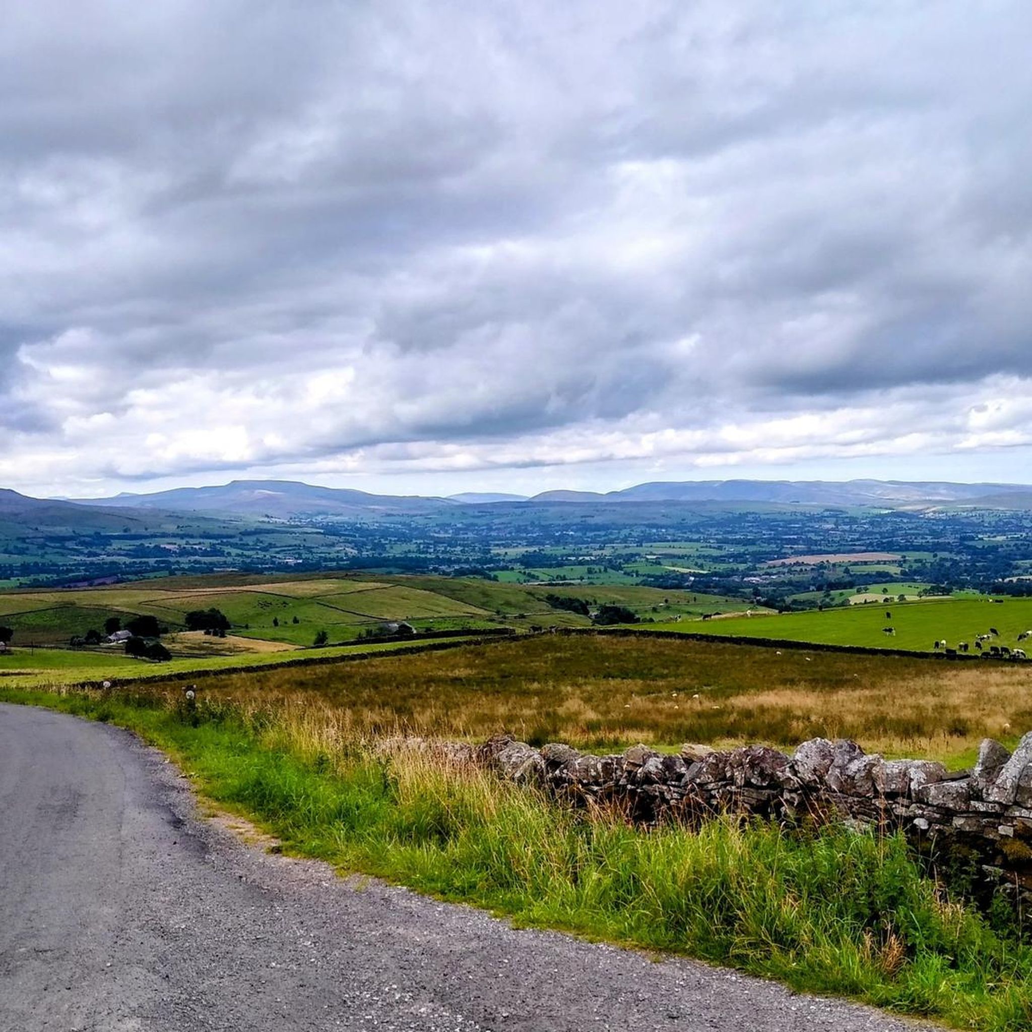
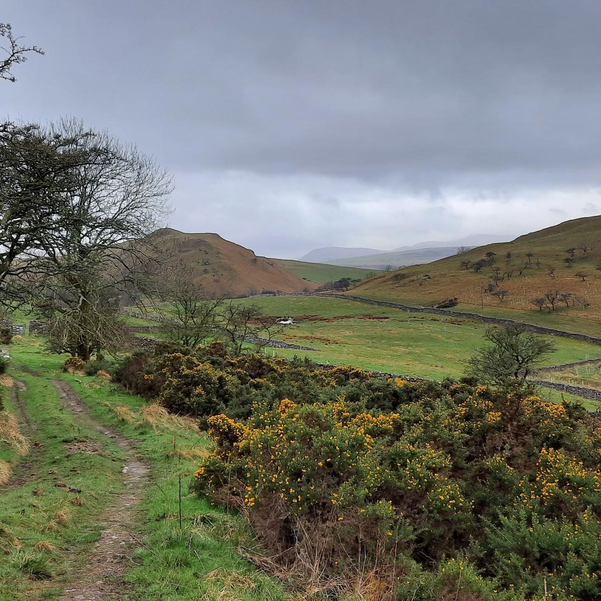
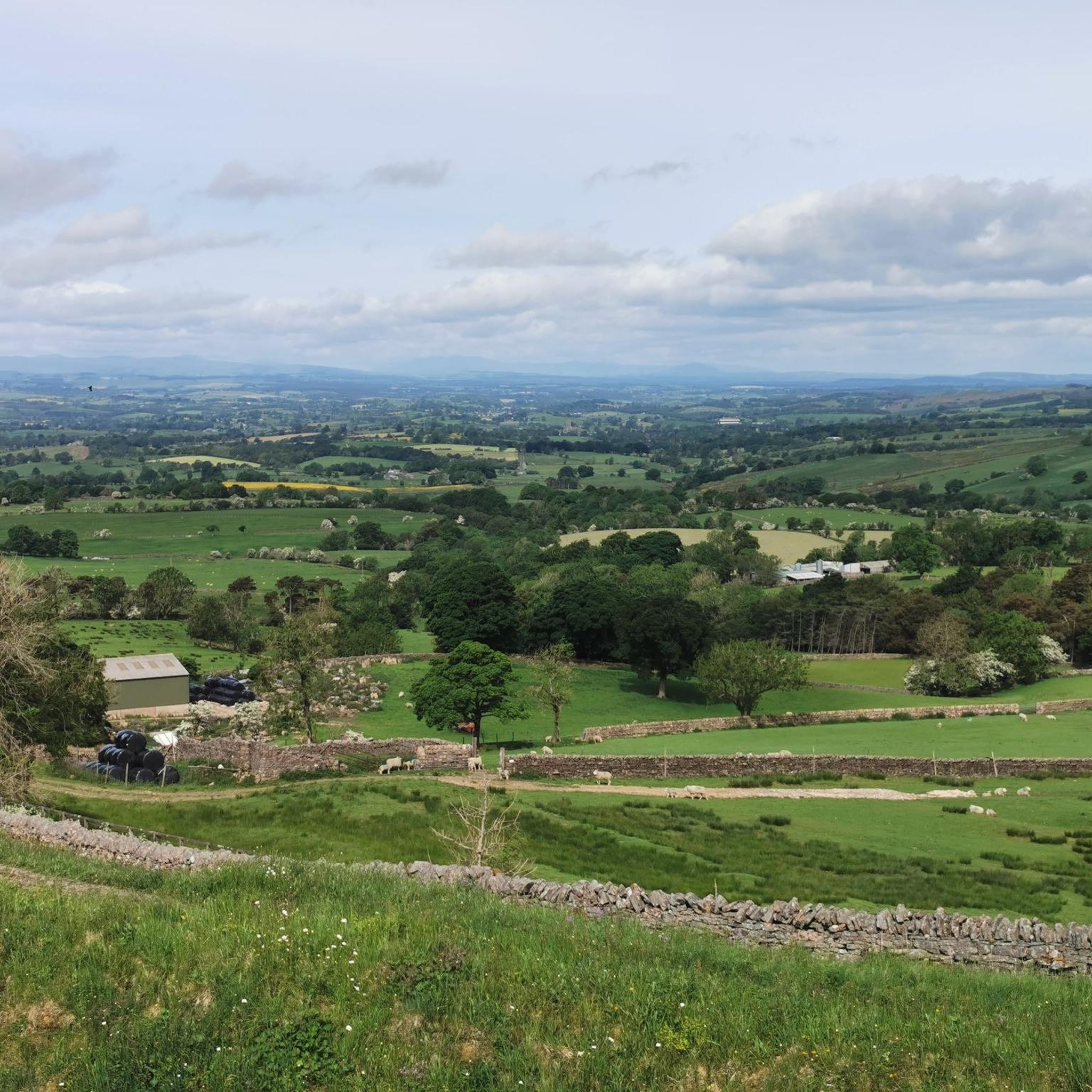
Jogging around Stainmore offers diverse terrain within the North Pennines Area of Outstanding Natural Beauty. The region features a network of paths, from flat reservoir-side trails to more challenging routes through glaciated valleys and open access land. Its varied topography provides options for different running experiences, including routes with significant elevation changes and scenic viewpoints. Stainmore's landscape is characterized by its natural features, making it suitable for exploring on foot.
Best jogging routes around Stainmore
- The most popular jogging route…
Last updated: June 28, 2026
21
runners
Moderate run. Good fitness required. Mostly paved surfaces. Suitable for all skill levels.
10
runners
4.90km
00:31
30m
30m
Easy run. Great for any fitness level. Mostly paved surfaces. Suitable for all skill levels.

Sign up for free
9
runners
25.5km
03:02
560m
560m
Hard run. Very good fitness required. Mostly paved surfaces. Suitable for all skill levels.
8
runners
13.3km
01:38
400m
400m
Hard run. Very good fitness required. Mostly paved surfaces. Suitable for all skill levels.
11
runners
12.8km
01:34
300m
300m
Moderate run. Good fitness required. Mostly accessible paths. Some sure footedness required.
Get access to more routes and recommendations from other explorers.
Sign up for free
Already have an account?
Our route recommendations are based on thousands of hikes, rides, and runs completed by other people on komoot.
Start today with a free account
Your next adventure awaits.
Login or Signup
Tips from the Community

Frank's Bridge at Kirkby Stephen along the Coast To Coast route.
0
1


The former Stainmore Railway, now a surfaced multi-user path, has some lovely walking along its length. The Northern Viaducts Round follows just over a mile of the former Stainmore Railway, which once linked the coalfields of South Durham with the iron and steel industries of the Furness district of Lancashire and West Cumberland.
0
0

If you read the plate this was erected by the members of Kirkby Stephen fell search team and is to commemorate the wedding of Charles and Diana (29.07.1981)
0
0

A stunning waterfall, not the biggest out there, but it is in a gorgeous location and very accessible from Keld village. A beautiful place to bring the kids and have a picnic.
1
0
This is actually the location of the topographic cairn, which is a really good view point out over the surrounding Dales, and of the Nine Standards, which sit nearby to the north within a few hundred metres. A bit further to the south is the actual summit point of Nine Standards Rigg itself, which is marked by a trig point.
1
1
This is the summit of Nine Standards Rigg, which is at 662 metres and marked by a stone trig point. The views further from the viewing cairn and the 'Nine Standards' cairns themselves are more favourable than from this point.
0
0
This is the actual location of the Nine Standards, or nine cairns, of Nine Standards Rigg. The purpose of the standards is uncertain, there is a theory that they form an old boundary line. Whatever their purpose, they make for a good photo opportunity.
1
0
Frequently Asked Questions
What kind of terrain can I expect on running routes around Stainmore?
Stainmore, located within the North Pennines AONB, offers a diverse range of terrain for runners. You'll find everything from flat gravel paths around areas like Cow Green Reservoir to more rugged, rocky ground near Cauldron Snout Waterfall. Other routes feature grassy trails, stony tracks, and even potentially boggy sections, especially in higher areas like High Cup Nick. The area also boasts extensive open access land, providing varied experiences from gentle paths to challenging fell runs.
Are there any easy running routes suitable for beginners in Stainmore?
Yes, Stainmore offers several easier running options. For instance, the Running loop from Kaber is classified as easy, covering about 3 miles (4.9 km) with minimal elevation gain. These routes are great for those new to trail running or looking for a more relaxed jog.
What natural features or landmarks can I see while running in Stainmore?
Stainmore's running routes are rich with natural beauty and notable landmarks. You can experience the dramatic Cauldron Snout Waterfall and the expansive Cow Green Reservoir. The impressive U-shaped glaciated valley of High Cup Nick offers breathtaking vistas. Additionally, the distinctive cairns of Nine Standards Rigg provide panoramic views of the surrounding Dales.
Are there any circular running routes in the Stainmore area?
Many of the running routes around Stainmore are designed as loops, allowing you to start and finish in the same location. An example is the Frank's Bridge, Kirkby Stephen – The Pink Geranium Café loop from Kirkby Stephen, which is a moderate 3.9-mile (6.3 km) run. Another popular option is the Frank's Bridge, Kirkby Stephen – Kirkby Stephen Parish Church loop from Kirkby Stephen, covering 5.4 miles (8.6 km).
What do other runners say about the trails in Stainmore?
The running trails in Stainmore are highly regarded by the komoot community, holding an average rating of 4.0 stars. Over 400 runners have explored the varied terrain using komoot, often praising the diverse landscapes, from reservoir paths to challenging fell runs, and the stunning natural features like glaciated valleys.
Can I find running routes with significant elevation changes for a challenging workout?
Absolutely. Stainmore is known for its varied topography, including routes with significant elevation changes. For a challenging run, consider the Nine Standards Rigg loop from Brough Sowerby. This difficult 15.8-mile (25.4 km) trail involves over 550 meters of ascent, offering a demanding workout and rewarding panoramic views.
Are there any running routes near Stainmore that pass by a pub or cafe?
Yes, some routes offer convenient access to amenities. The Frank's Bridge, Kirkby Stephen – The Pink Geranium Café loop from Kirkby Stephen, for example, includes a café in its name, suggesting a stop for refreshments. Additionally, the famous Tan Hill Inn – Britain's Highest Inn is located in the wider Stainmore area, providing a unique destination for a post-run drink or meal.
What is the best time of year to go running in Stainmore?
Stainmore offers running opportunities year-round, but the best time often depends on your preference for conditions. Spring and summer provide milder weather and longer daylight hours, ideal for exploring. However, be aware that some areas, particularly around Cauldron Snout or High Cup Nick, can become challenging and slippery after heavy rain, especially in autumn and winter, due to boulders and boggy sections.
How many running routes are available in the Stainmore region?
There are over 50 dedicated running routes available in the Stainmore region on komoot, catering to various fitness levels and preferences. This extensive network ensures plenty of options for exploring the diverse landscapes of the North Pennines AONB.
Are there any running routes that follow a river or offer waterside views?
Yes, you can find routes that incorporate rivers and waterside scenery. The Frank's Bridge, Kirkby Stephen – River Eden loop from Kirkby Stephen is a challenging 8.2-mile (13.3 km) route that follows the River Eden, providing beautiful riverside views and a refreshing experience.
Are the running trails in Stainmore suitable for families?
While many routes in Stainmore can be challenging, there are easier options that might be suitable for families, especially those with some experience in outdoor activities. Look for routes classified as 'easy' or 'moderate' with lower elevation gains, such as the Running loop from Kaber. Always check the route details for distance and terrain to ensure it matches your family's ability.
Most popular routes around Stainmore
Most popular attractions around Stainmore

Get inspired with the komoot mobile app


Explore more
Browse the best Running Trails & Routes in other regions.
