The best walks and hikes around Firbank
4.5
(673)
5,683
hikers
240
hikes
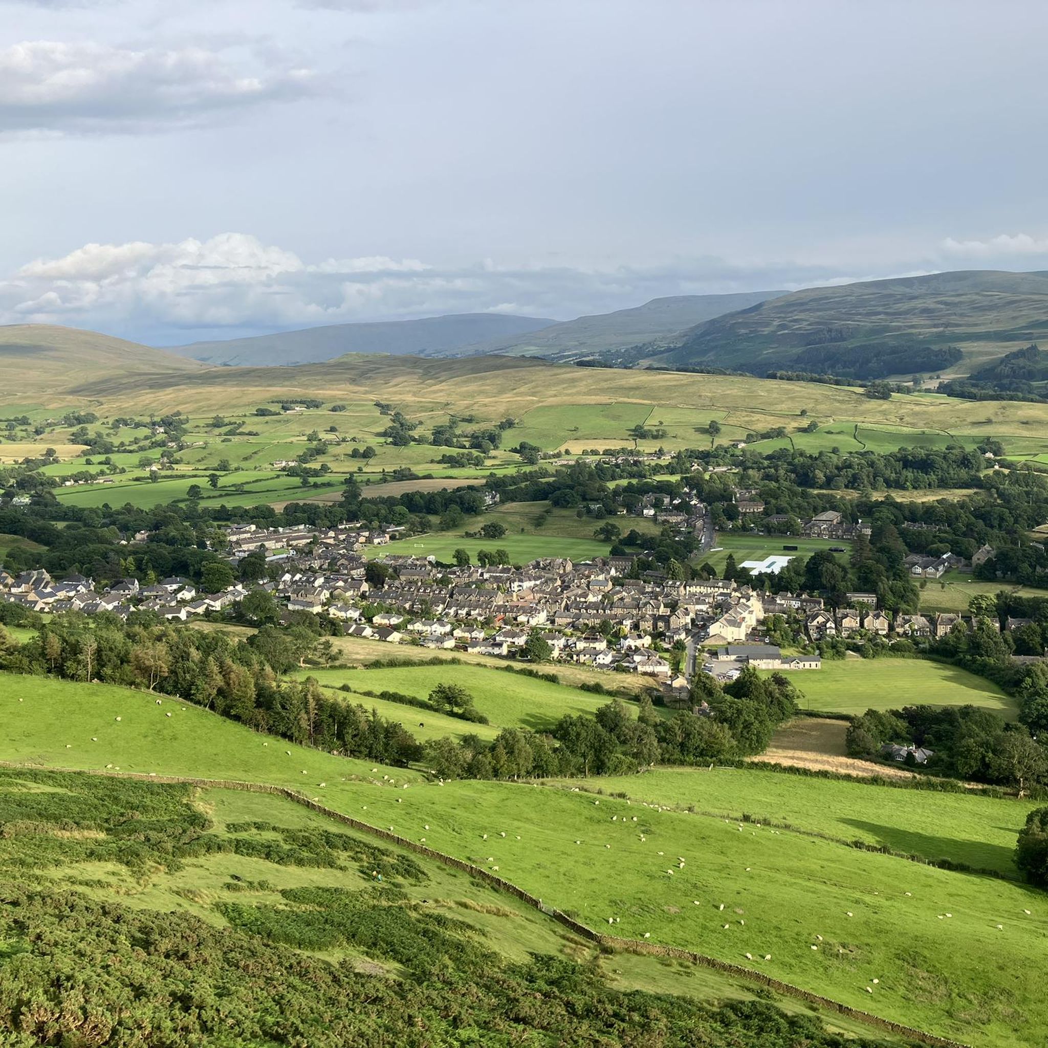
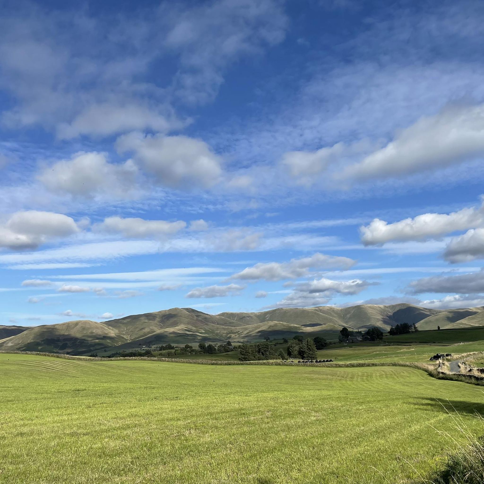
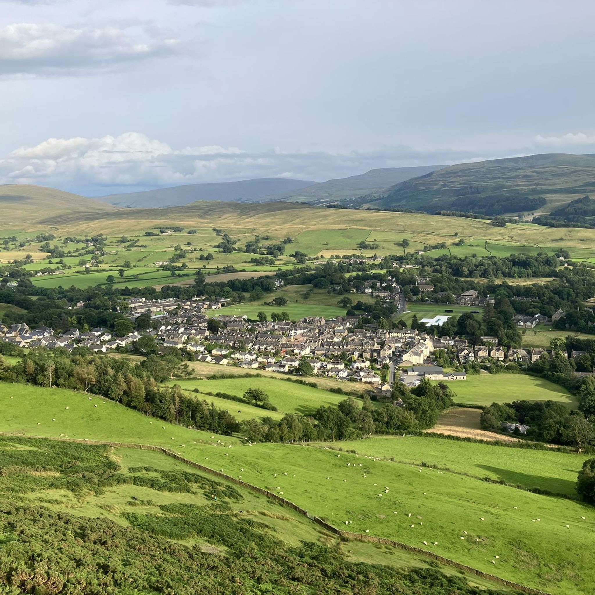
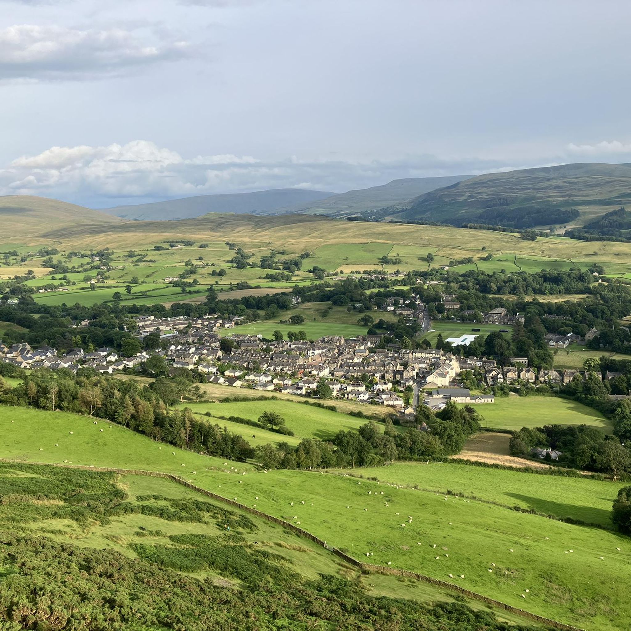
Hiking around Firbank offers access to varied terrain within the Lune Valley, situated between the Yorkshire Dales and Lake District National Parks. The landscape features rolling hills, river valleys, and open fells, providing diverse hiking routes. Elevations are generally moderate, with some routes reaching higher points on fells. The area is characterized by a mix of agricultural land, scattered woodlands, and open moorland.
Best hiking trails around Firbank
- The most popular hiking route is Wooden Bridge Over Stream – St Andrew's Church, Dent loop from Firbank, a 8.4 miles (13.6 km) trail that takes about 3 hours 47 minutes to complete. This moderate route features a wooden bridge over a stream and views towards St Andrew's Church in Dent.
- Another top favourite among local hikers is View of Lune Gorge – Lowgill Viaduct loop from Yorkshire Dales National Park, a moderate 4.7 miles (7.6 km) path. This route offers scenic views of the Lune Gorge and passes by the historic Lowgill Viaduct.
- Local hikers also love the Millthrop Bridge – Sedbergh Town Centre loop from Sedbergh School, a 6.8 miles (11.0 km) trail leading through the local countryside, often completed in about 3 hours. This moderate route includes landmarks like Millthrop Bridge and explores the area around Sedbergh.
- Hiking around Firbank is defined by river valleys, open fells, and views across the Lune Gorge. The network of Firbank walking trails offers options for different ability levels, from easy strolls to more challenging fell climbs.
- The routes in Firbank are highly rated by the komoot community with an average score of 4.6 stars from over 590 reviews. More than 5,400 hikers have used komoot to explore Firbank's varied terrain.
Last updated: July 18, 2026
5.0
(8)
39
hikers
11.5km
03:13
210m
210m
Moderate hike. Good fitness required. Easily-accessible paths. Suitable for all skill levels.
4.5
(2)
11
hikers
Moderate hike. Good fitness required. Easily-accessible paths. Suitable for all skill levels.

Sign up for free
5.0
(2)
11
hikers
11.0km
03:00
160m
160m
Moderate hike. Good fitness required. Easily-accessible paths. Suitable for all skill levels.
5.0
(1)
8
hikers
10.9km
03:53
600m
600m
Moderate hike. Good fitness required. Easily-accessible paths. Suitable for all skill levels.
3.5
(2)
9
hikers
6.04km
01:40
110m
100m
Easy hike. Great for any fitness level. Easily-accessible paths. Suitable for all skill levels.
Get access to more routes and recommendations from other explorers.
Sign up for free
Already have an account?
Our route recommendations are based on thousands of hikes, rides, and runs completed by other people on komoot.
Start today with a free account
Your next adventure awaits.
Login or Signup

Tips from the Community

Sedbergh is a great starting point to explore the Howgills. Nice size pay and display car park with public toilets. There are also plenty of things to explore in the small town before or after you have been in the fells. Lots of great independent shops and cafes.
0
0


This is a beautiful viaduct, I wish I had seen it on a better blue sky day, it would make a great photo stop. Very impressive.
0
0

From the Yorkshire side! I had no idea I was this close to the Yorkshire Dales
0
0
Frequently Asked Questions
How many hiking trails are available around Firbank?
There are over 230 hiking routes around Firbank, offering a wide variety of options. These include 96 easy trails, 122 moderate routes, and 21 more challenging hikes, catering to different fitness levels.
What kind of terrain can I expect on hikes in Firbank?
Hiking around Firbank features varied terrain within the Lune Valley, nestled between the Yorkshire Dales and Lake District National Parks. You'll encounter rolling hills, river valleys, and open fells. The landscape is a mix of agricultural land, scattered woodlands, and open moorland, with generally moderate elevations.
Are there any circular walks in the Firbank area?
Yes, many routes around Firbank are circular. For example, the Wooden Bridge Over Stream – St Andrew's Church, Dent loop from Firbank is a moderate 8.4-mile circular trail. Another option is the View of Lune Gorge – Lowgill Viaduct loop from Yorkshire Dales National Park, which offers scenic views on a 4.7-mile loop.
What are some notable natural features or landmarks to see while hiking near Firbank?
Hikers can enjoy several natural features and landmarks. You might encounter the scenic Cautley Spout Waterfall, explore the beautiful Barbondale Valley, or take in views of the Lune Gorge. The area also features the historic Lowgill Viaduct on some routes.
Are there any family-friendly hiking options around Firbank?
Firbank offers a selection of easy trails suitable for families. With 96 easy routes available, you can find shorter, less strenuous walks that allow for enjoyable outdoor time with children. Look for routes with minimal elevation gain and well-maintained paths.
What do other hikers say about the trails in Firbank?
The trails in Firbank are highly regarded by the komoot community, holding an average rating of 4.6 stars from over 590 reviews. Hikers often praise the diverse scenery, from river valleys to open fells, and the well-maintained paths that offer views across the Lune Gorge.
Can I bring my dog on the hiking trails in Firbank?
Many trails in the Firbank area are dog-friendly, but it's always advisable to keep dogs on a lead, especially when passing through agricultural land or near livestock. Be mindful of local signage and respect the countryside code to ensure a pleasant experience for everyone.
Are there any specific viewpoints or fells worth hiking to near Firbank?
Yes, you can hike to several viewpoints and fells. The Firbank Fell Summit – Hilltop Heights loop from Yorkshire Dales National Park offers a moderate climb to Firbank Fell. For more expansive views, consider routes that lead towards The Calf Summit (Howgill Fells), a prominent peak in the nearby Howgill Fells.
What is the best time of year to hike in Firbank?
The best time to hike in Firbank generally depends on your preference. Spring and summer offer pleasant weather for exploring the fells and valleys, with wildflowers in bloom. Autumn provides stunning colours across the landscape. Winter hikes are possible but require appropriate gear for potentially colder and wetter conditions, especially on higher ground.
Are there any towns or villages nearby to explore after a hike?
Yes, after a hike, you can explore nearby settlements. Sedbergh Town Centre is a popular option, offering local amenities and a chance to experience a traditional market town. Dent Village is another charming location known for its cobbled streets and historic character.
Where can I find parking for hiking trails in Firbank?
Parking availability varies by trailhead. Many routes start from or pass through areas with designated parking, particularly near villages or popular access points within the Yorkshire Dales National Park. It's recommended to check specific route details for parking information before you set out.
Are there any trails that follow canals or rivers in the area?
Yes, you can find trails that follow waterways. The Lancaster Canal Trail: Natland–Sedgwick Section is an example of a route that follows a canal, offering a flatter and often more accessible walking experience. The River Dee is also close by, offering scenic views and opportunities to watch salmon leaping.
Most popular attractions around Firbank

Get inspired with the komoot mobile app


Explore more
Browse the best Hikes in other regions.
