The best running trails around Bretherton
4.3
(67)
10,405
runners
624
runs
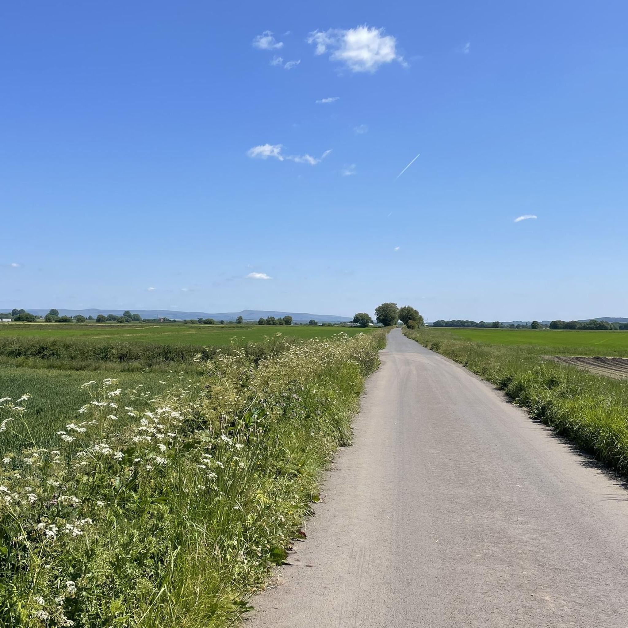
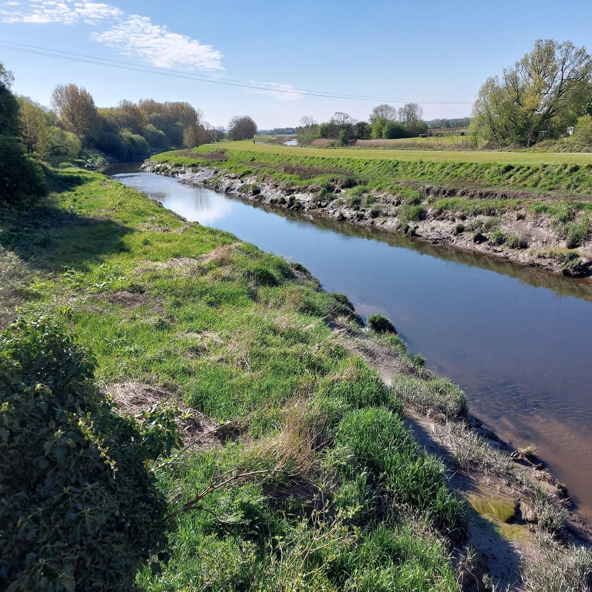
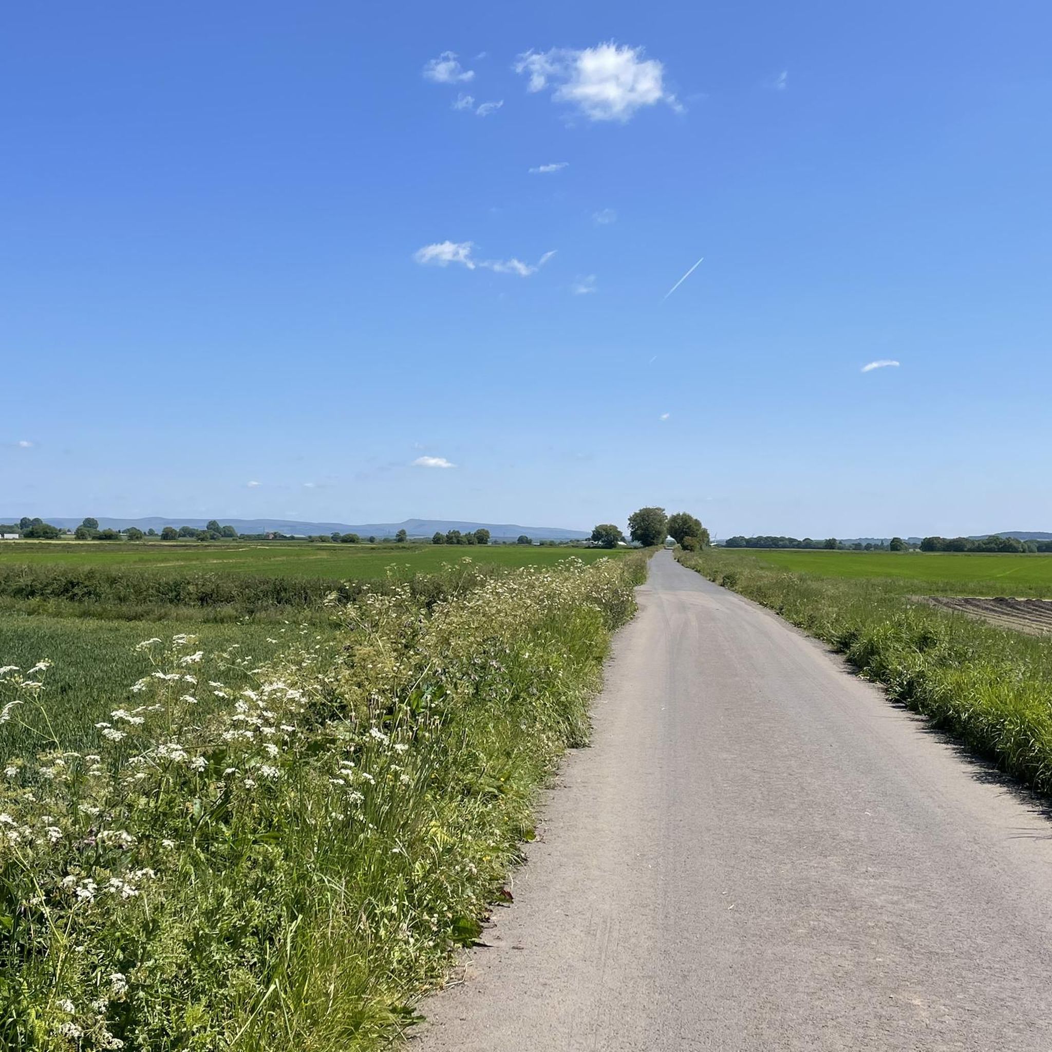
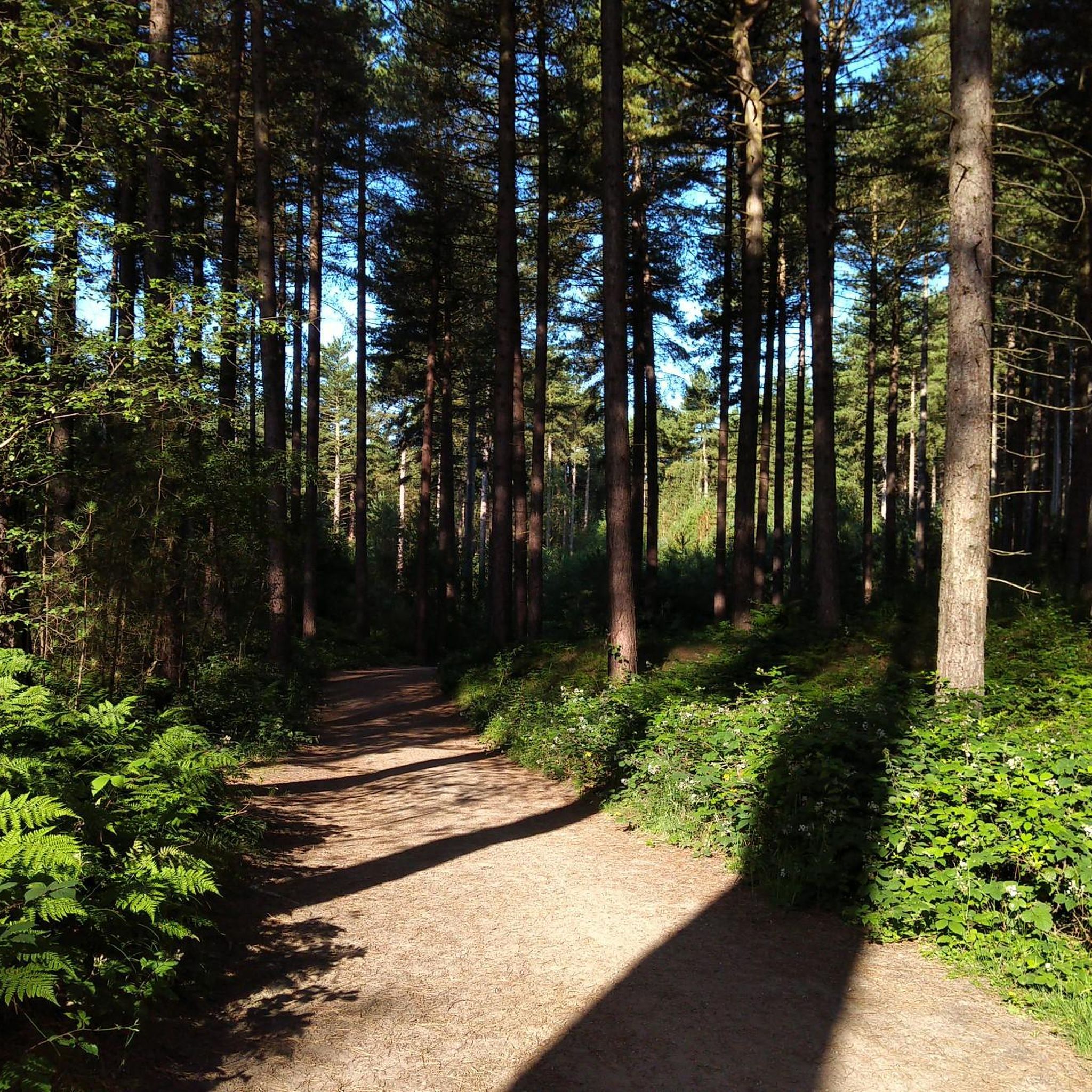
Jogging routes around Bretherton traverse a flat, low-lying agricultural landscape, characterized by its tranquil riverside paths and accessible terrain. The region is bordered by the River Lostock, River Douglas, and River Yarrow, offering scenic running opportunities along their banks. Woodland paths, particularly around Bank Hall, provide natural settings for runs, while the predominantly flat land ensures generally easy jogging conditions.
Best jogging routes around Bretherton
- The most popular jogging route is Stone Bridge View – The Wheatsheaf Pub loop from…
Last updated: October 8, 2026
5.0
(1)
31
runners
5.49km
00:34
10m
10m
Moderate run. Good fitness required. Mostly paved surfaces. Suitable for all skill levels.
28
runners
6.22km
00:39
10m
10m
Moderate run. Good fitness required. Mostly paved surfaces. Suitable for all skill levels.

25
runners
Moderate run. Good fitness required. Mostly paved surfaces. Suitable for all skill levels.
14
runners
Moderate run. Good fitness required. Mostly paved surfaces. Suitable for all skill levels.
10
runners
9.39km
00:59
10m
10m
Moderate run. Good fitness required. Mostly paved surfaces. Suitable for all skill levels.
Get access to more routes and recommendations from other explorers.
Already have an account?
Our route recommendations are based on thousands of hikes, rides, and runs completed by other people on komoot.
Start today with a free account
Your next adventure awaits.

Tips from the Community

lovely village to stop lots of cafes
0
0

Found this garden centre and saw it had a restaurant inside great for gardening but the coffee and cake is delicious.
5
0
Nice stretch of road went past the farm and asked the farmer for some water. Such a wonderful little farm cottage.
5
0

Nice area to stop and take some nice pictures
2
0
Croston was founded in the 7th century when St Aidan arrived at the riverside settlements. In the absence of a church, a cross was erected as a place of worship. The name is derived from the two Old English words 'cross' and 'tūn' (town/homestead/village) and is unique to the village. The parish of Croston was formerly far larger than it is today. It included Chorley, Much Hoole, Rufford, Bretherton, Mawdesley, Tarleton, Hesketh Bank, Bispham, Walmer Bridge and Ulnes Walton. These became independent parishes as a result of a series of separations between 1642 and 1821.[2] A charter granted by Edward I in 1283 permitted an annual medieval fair and market to be held on the village green. Pre-20th Century maps also depict a castle which is believed to have been of a wooden construction because there is no evidence of a stone structure.
4
0
A wonderful place to remember those who where lost
8
0
Some nice pubs and cafes for a break
2
3
Frequently Asked Questions
What is the typical terrain like for running in Bretherton?
Bretherton is characterized by its flat, low-lying agricultural landscape, making for generally easy and accessible running conditions. You'll find a mix of riverside paths, open fields, and some woodland trails, particularly around Bank Hall.
How many running routes can I find in the Bretherton area?
There are over 600 running routes available around Bretherton, catering to various preferences. This includes 68 easy routes, 483 moderate routes, and 84 more challenging options.
Are there any circular running routes in Bretherton?
Yes, Bretherton offers several circular running routes. For example, the Plocksfarm Plantation loop from Bretherton is a moderate 14.8 km (9.2 miles) option. Another popular choice is the Pigs in the Countryside – Bretherton War Memorial loop from Bretherton, which covers 8.7 km (5.4 miles).
Can I run with my dog on the trails in Bretherton?
Yes, many areas in Bretherton are dog-friendly. Specifically, the grounds of Bank Hall, which feature extensive gardens and woodland paths, permit dogs provided they are kept on short leads. Always ensure your dog is under control and respect local signage.
What natural features or landmarks can I see while running in Bretherton?
Bretherton's routes often feature scenic views along the River Lostock, River Douglas, and River Yarrow. You might also pass by historic sites like Bank Hall, or natural highlights such as the Lower Kem Mill Pond. The Eyes Lane Metal Bridge is another notable point of interest.
Are there any family-friendly running routes in Bretherton?
Given the predominantly flat and easy terrain, many of Bretherton's routes are suitable for families. The village's recreation ground offers open space for shorter jogs, and the numerous accessible footpaths along the rivers provide gentle gradients for all ages.
Where can I find parking for running routes in Bretherton?
While specific parking areas for all routes aren't detailed, many circular walks in the area, such as the 'Bretherton and the River Douglas circular,' often start from locations like the Blue Anchor car park. Village centers and local pubs may also offer parking for patrons.
What do other runners say about the routes in Bretherton?
The running routes in Bretherton are highly rated by the komoot community, with an average score of 4.4 stars from over 40 reviews. Runners often praise the tranquil riverside paths, the easy-to-navigate flat terrain, and the scenic agricultural views.
Are there options for longer distance running in Bretherton?
Absolutely. For those looking for a longer run, the Croston Big Wood – Square's Wood loop from Croston is a substantial 11.8 km (7.3 miles) trail. Another good option is the Plocksfarm Plantation loop from Bretherton, which is 14.8 km (9.2 miles).
Can I find pubs or cafes along the running routes in Bretherton?
Yes, some routes incorporate local establishments. For instance, the Stone Bridge View – The Wheatsheaf Pub loop from Croston and the Londis Shop Coffee – The Lord Nelson Pub loop from Croston both feature pubs, offering convenient spots for refreshments before or after your run.
What is the best time of year to go running in Bretherton?
Bretherton offers pleasant running conditions throughout much of the year. Spring brings beautiful seasonal flora like snowdrops, daffodils, and bluebells, especially around Bank Hall. The flat terrain generally makes it accessible, though riverside paths might be muddy after heavy rain.
Are there any challenging running trails in Bretherton?
While Bretherton is known for its generally flat terrain, there are still options for those seeking a bit more challenge. The area features 84 routes classified as difficult, which may involve longer distances or slightly more varied surfaces, though significant elevation gain is uncommon.
Most popular attractions around Bretherton

Get inspired with the komoot mobile app


Explore more
Browse the best Running Trails & Routes in other regions.
