The best walks and hikes around Blacko
4.5
(1079)
9,622
hikers
542
hikes
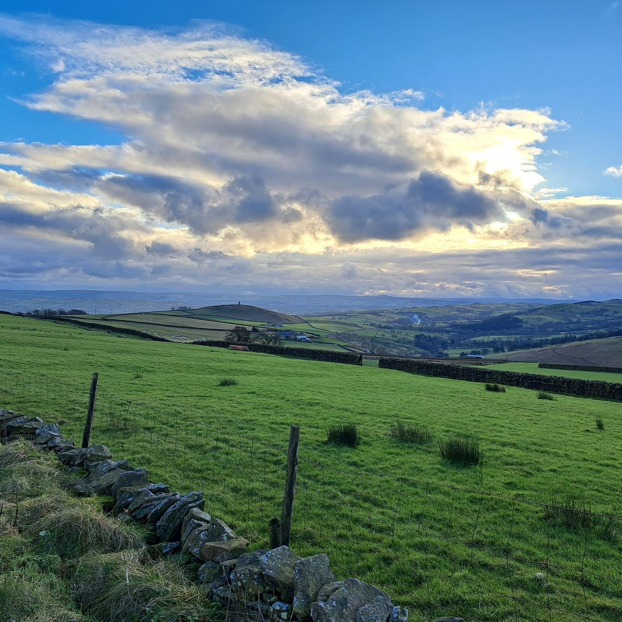
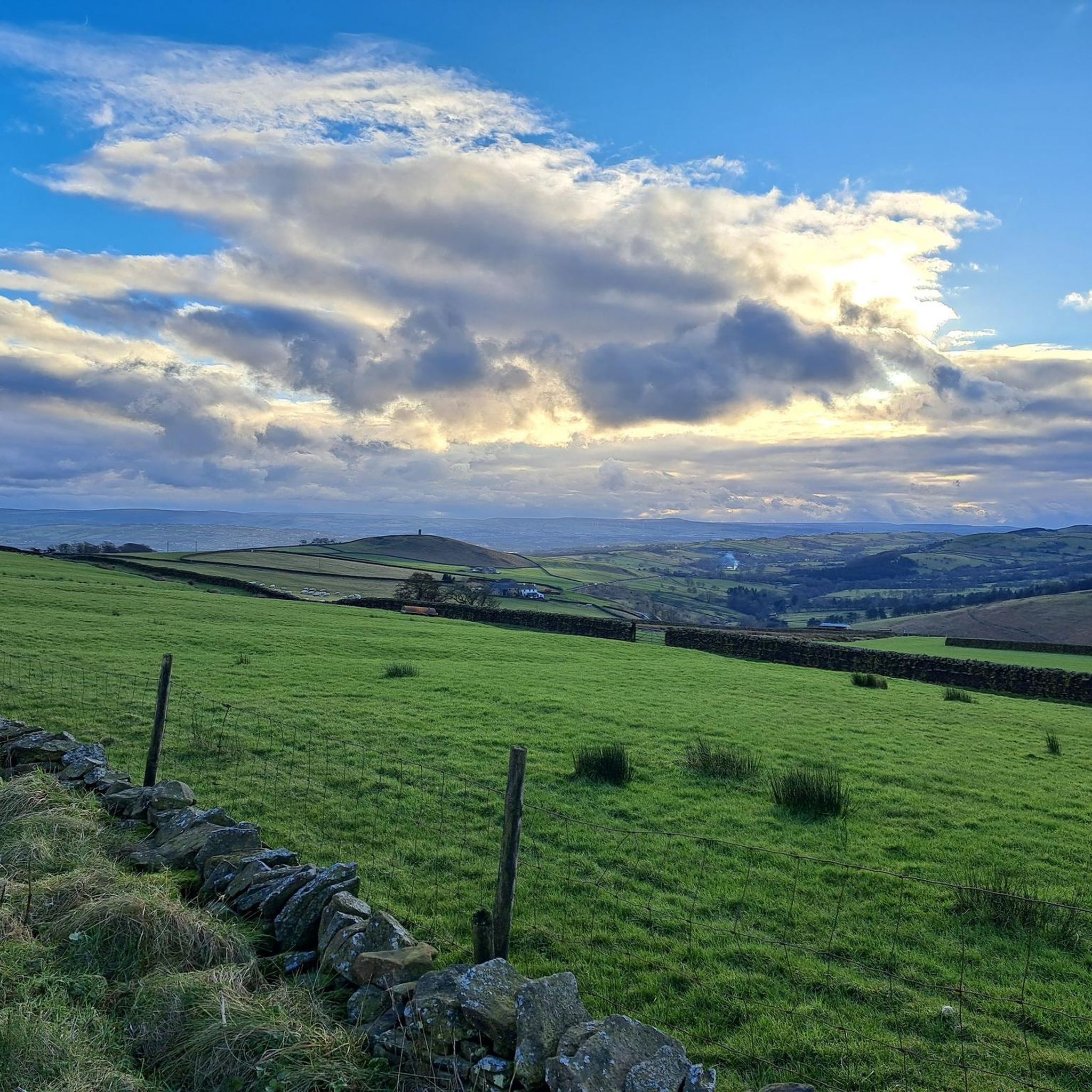
Hikes around Blacko explore the rolling hills and lush meadows of the Pendle district in Lancashire. The landscape is characterized by its proximity to the Forest of Bowland Area of Outstanding Natural Beauty and the prominent Pendle Hill. Routes vary from gentle riverside paths along Pendle Water to more demanding ascents over the surrounding moorland, offering a range of Blacko walking trails for different abilities.
Best hiking trails around Blacko
- The most popular hiking route is Higherford to Roughlee loop – Forest of Bowland, a 5.6 mile (9.0 km) trail that takes about 2 hours 35 minutes to complete. This moderate route passes through a section of the Forest of Bowland.
- Another top favourite among local hiking enthusiasts is Barley (village) – Pendle Hill summit trig point loop from Barrowford, a difficult 11.8 mile (19.0 km) path. This challenging hike involves a significant ascent to the summit of Pendle Hill.
- Local hiking enthusiasts also love the Pendle Water Old Weir – Old Oak Tree Cottage loop from Nelson, a 2.3 mile (3.7 km) trail leading through the local countryside, often completed in about 1 hour.
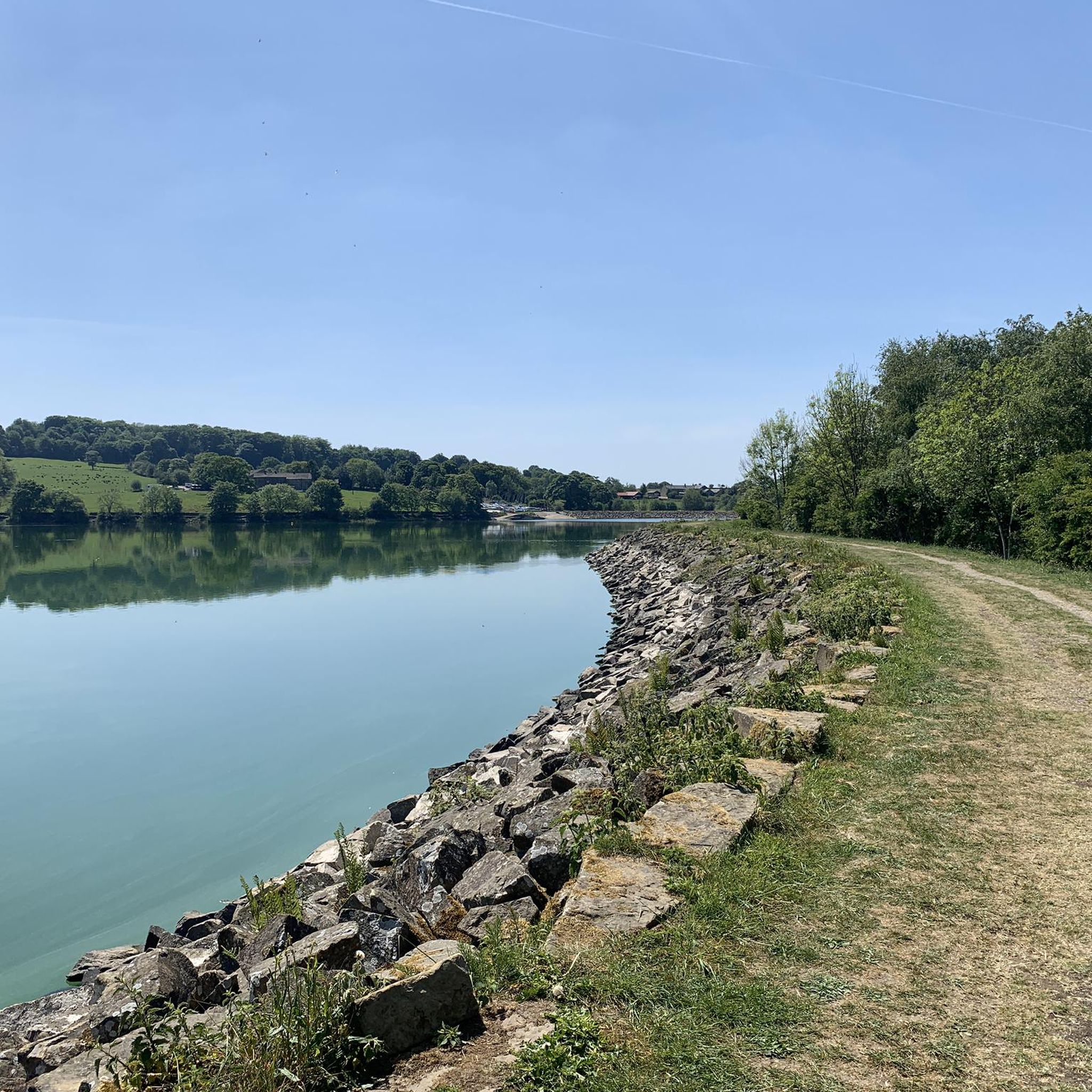
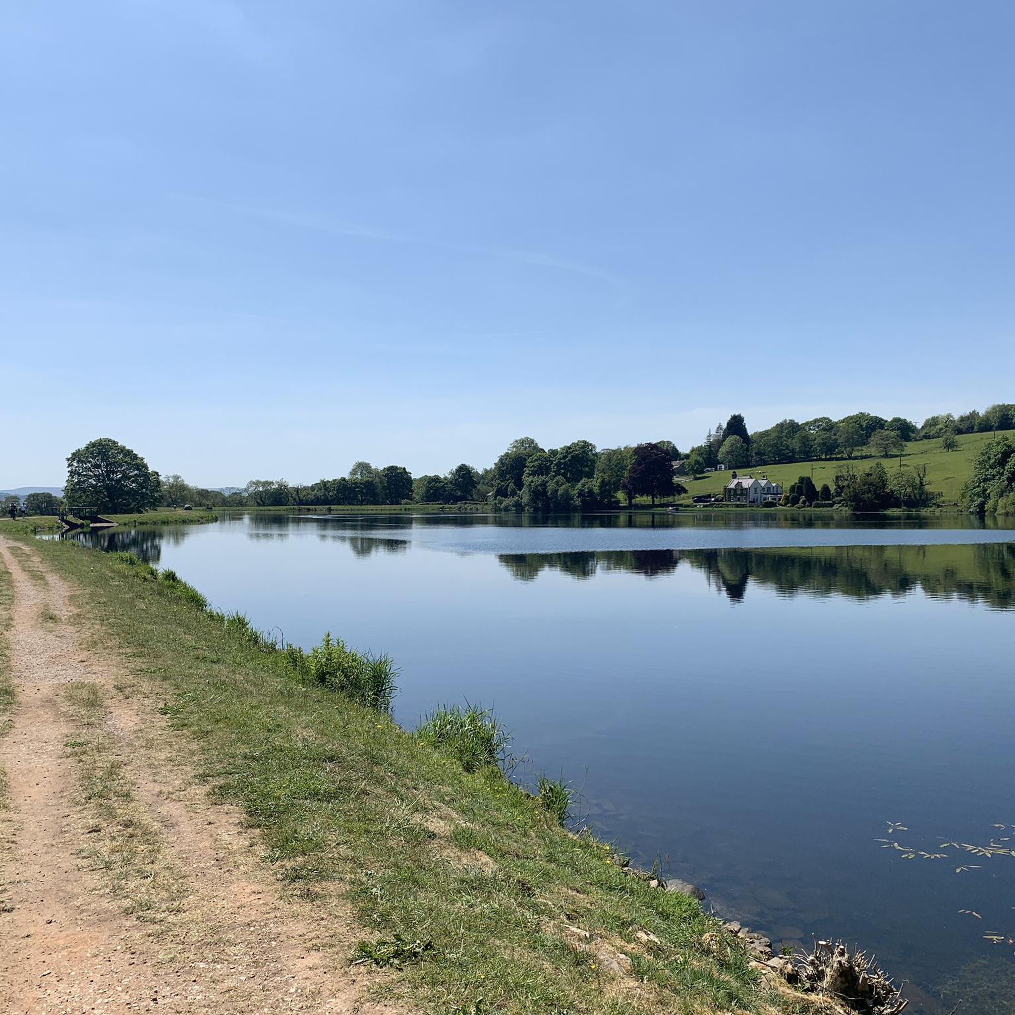
- Hiking around Blacko is defined by rolling hills, open moorland, and paths along waterways like Pendle Water. The network of trails provides options for various fitness levels, from easy circular walks around Blacko to strenuous hill climbs.
- The routes in Blacko are highly rated by the komoot community with an average score of 4.5 stars from over 890 reviews. More than 9,600 hikers have used komoot to explore Blacko's varied terrain.
Last updated: October 8, 2026
4.9
(8)
22
hikers
9.01km
02:34
210m
210m
Moderate hike. Good fitness required. Easily-accessible paths. Suitable for all skill levels.
34
hikers
5.16km
01:21
40m
40m
Easy hike. Great for any fitness level. Easily-accessible paths. Suitable for all skill levels.

4.0
(1)
16
hikers
9.98km
02:39
110m
110m
Moderate hike. Good fitness required. Easily-accessible paths. Suitable for all skill levels.
5.0
(1)
22
hikers
5.36km
01:24
30m
30m
Easy hike. Great for any fitness level. Easily-accessible paths. Suitable for all skill levels.
17
hikers
Easy hike. Great for any fitness level. Easily-accessible paths. Suitable for all skill levels.
Get access to more routes and recommendations from other explorers.
Already have an account?
Our route recommendations are based on thousands of hikes, rides, and runs completed by other people on komoot.
Start today with a free account
Your next adventure awaits.

Tips from the Community

This is a mile-long tunnel locates on the Leeds and Liverpool Canal. It is the longest tunnel on the canal and due to its narrow design boats would once be legged through it. This is a risky practice where people would walk along the tunnel walls pulling the boats. Today, access to the tunnel is managed through timed light signals to ensure safe passage.
1
0


The village of Barrowford is the traditional start point for the Pendle Way, a 45-mile (72 km) loop of the Pendle district. The hike begins from the Pendle Heritage Centre, a great place to learn more about the region’s rich history. The village boasts a couple of pubs, a wine bar and a restaurant, though neighbouring Nelson is a better bet for accommodation.
0
0
The Pendle Heritage Centre, converted from the historic Park Hill House, is dedicated to the region's history and culture. There's a museum where you can learn about the infamous Witch Trials, as well as more about George Fox and the Quakers, and about Park Hill itself. The Centre also has a shop, walled garden, a bluebell wood and a cafe.
0
0

Constructed in the late 16th or early 17th century, this bridge was ingeniously designed to accommodate packhorse trains transporting coal from the vicinity of Gisburn. As the town's oldest bridge, it holds a significant place in its history. Remarkably, it has been recognized for its historical importance and is proudly listed as a Grade II* protected structure.
1
0
The stepping stones are well maintained and make a nice alternative route crossing Pendle Water.
0
0
The village is widely recognized for its historical association with the Pendle Witches, among whom Alice Nutter stands out. It is believed that Alice Nutter, one of the accused witches, may have resided at Roughlee Old Hall, although historical evidence suggests her connection to nearby Crowtrees. In 1612, she faced trial and was subsequently sentenced to hang at Lancaster Castle. Roughlee is nestled within the breathtaking landscape of the Forest of Bowland Area of Outstanding Natural Beauty, adding to its historical and natural allure.
1
0
Hollin Top sits just above the village of Roughlee, with panoramic views of Pendle Hill and the Ribble Valley.
1
0
Frequently Asked Questions
Are there many walking trails to choose from around Blacko?
Yes, there's a wide variety of options. You can find over 550 walking routes around Blacko, with a good mix of difficulties. There are more than 270 easy trails, 250 moderate ones, and around 28 challenging hikes for those seeking a tougher climb.
What do other hikers think of the trails in the Blacko area?
The trails around Blacko are highly regarded by the komoot community. With an average rating of 4.5 out of 5 stars from nearly 900 reviews, hikers often praise the stunning panoramic views from the hilltops and the mix of quiet countryside paths and more challenging moorland terrain.
Are there any good circular walks starting near Blacko?
Absolutely. The area is perfect for loop hikes. A great moderate option is the Weets Hill Summit & Trig Point – Occupation Road loop from Barrowford. This trail takes you up to Weets Hill, rewarding you with fantastic views, before looping back through the countryside.
Can I find easy, family-friendly walks in the area?
Yes, there are plenty of gentle walks suitable for families. For a short and pleasant outing, consider the Pendle Water Old Weir – Old Oak Tree Cottage loop from Nelson. It's a relatively flat, 3.7 km walk that follows the river, making it a relaxing choice for all ages.
Are dogs allowed on the hiking trails around Blacko?
Most trails in the countryside around Blacko are suitable for walking with a dog. However, you will be crossing fields with livestock and moorland with ground-nesting birds, especially in the Forest of Bowland. It is essential to keep your dog on a lead and under control in these areas.
What is the landscape like in the Forest of Bowland?
The Forest of Bowland is a designated Area of Outstanding Natural Beauty known for its dramatic open moorlands, deep valleys, and distinctive rolling hills. When hiking here, you'll encounter traditional drystone walls, quiet country lanes, and expansive views. It offers a more remote and wilder hiking experience compared to the immediate village surroundings.
How can I get to the summit of Pendle Hill?
Pendle Hill is the most prominent peak in the region, and there are several routes to the top. A popular but challenging approach is the Barley (village) – Pendle Hill summit trig point loop from Barrowford. This demanding 19 km hike involves a significant climb but offers incredible panoramic views from the summit as a reward.
What is the Blacko Tower and can I walk to it?
Blacko Tower, also known as Stansfield Tower, is a 19th-century stone folly built on a hilltop, making it a prominent local landmark. Many circular walks in the area incorporate a visit to the tower, which provides excellent views of the surrounding Pendle landscape.
Are there any walks along rivers or water?
Yes, several trails follow the local waterways. For a pleasant walk with views of the water, try the Higherford Packhorse Bridge – Pendle Water Old Weir loop from Nelson. This easy route takes you along parts of Pendle Water, offering a peaceful hiking experience.
Where can I park for a walk near Blacko?
Parking availability depends on your chosen trailhead. For popular routes starting in villages like Barley or Barrowford, you will often find designated pay-and-display car parks. For walks starting in more rural locations, parking is typically limited to small lay-bys on the roadside. It's always best to arrive early, especially on weekends.
Is the area accessible by public transport?
The main villages in the area, such as Barrowford and Nelson, are served by local bus routes which can be used to access some trailheads. However, many of the more remote starting points, particularly within the Forest of Bowland, are difficult to reach without a car. Planning your route from a larger village is the best option if relying on public transport.
Most popular attractions around Blacko

Get inspired with the komoot mobile app


Explore more
Browse the best Hikes in other regions.
