The best running trails around Bracewell And Brogden
4.3
(41)
4,860
runners
420
runs
Jogging around Bracewell And Brogden offers a variety of routes, often following canal towpaths and exploring the border region between Lancashire and Yorkshire. The landscape features gentle hills, open countryside, and waterways, providing diverse terrain for runners. Many trails offer views of the surrounding agricultural land and local landmarks, with some routes ascending to higher points like Weets Hill.
Best jogging routes around Bracewell And Brogden
- The most popular jogging route is Cannon's Pub & Eatery – Lancashire–Yorkshire Border loop…
Last updated: October 8, 2026
49
runners
Moderate run. Good fitness required. Mostly paved surfaces. Suitable for all skill levels.
35
runners
Moderate run. Good fitness required. Mostly paved surfaces. Suitable for all skill levels.

36
runners
4.91km
00:31
30m
30m
Easy run. Great for any fitness level. Mostly paved surfaces. Suitable for all skill levels.
30
runners
8.88km
00:58
90m
90m
Moderate run. Good fitness required. Mostly paved surfaces. Suitable for all skill levels.
17
runners
Hard run. Very good fitness required. Mostly paved surfaces. Suitable for all skill levels.
Get access to more routes and recommendations from other explorers.
Already have an account?
Our route recommendations are based on thousands of hikes, rides, and runs completed by other people on komoot.
Start today with a free account
Your next adventure awaits.
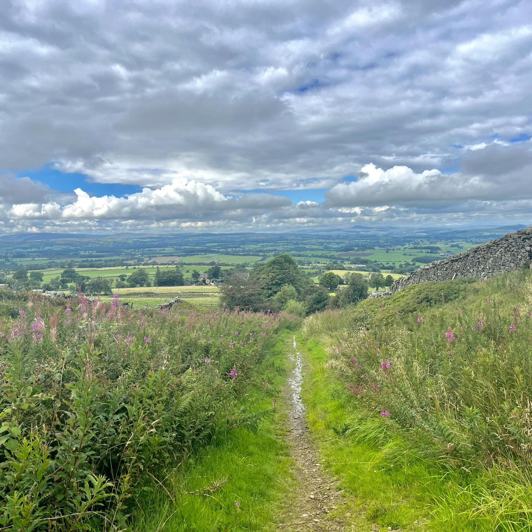
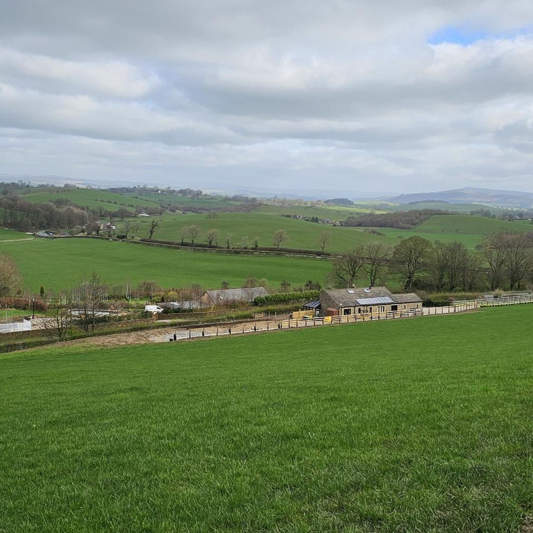
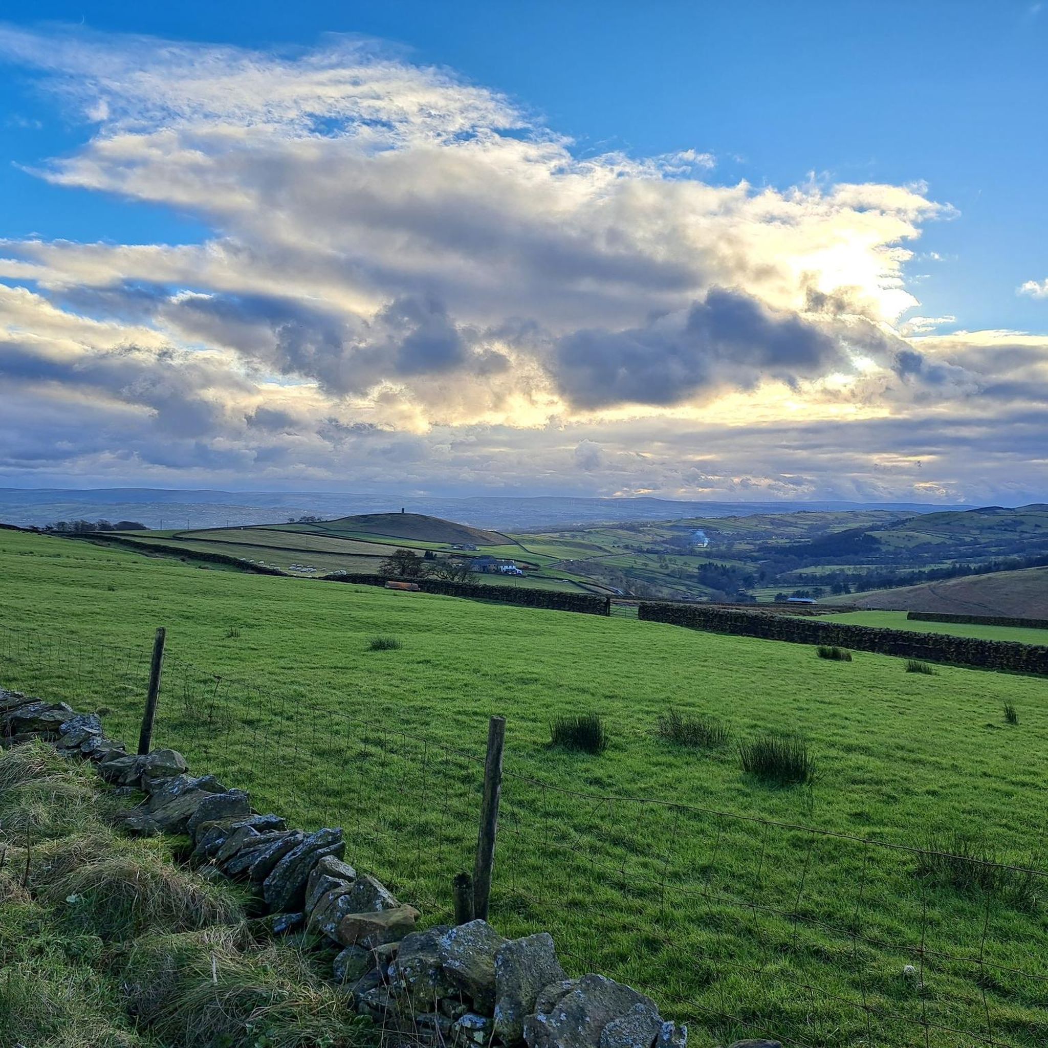
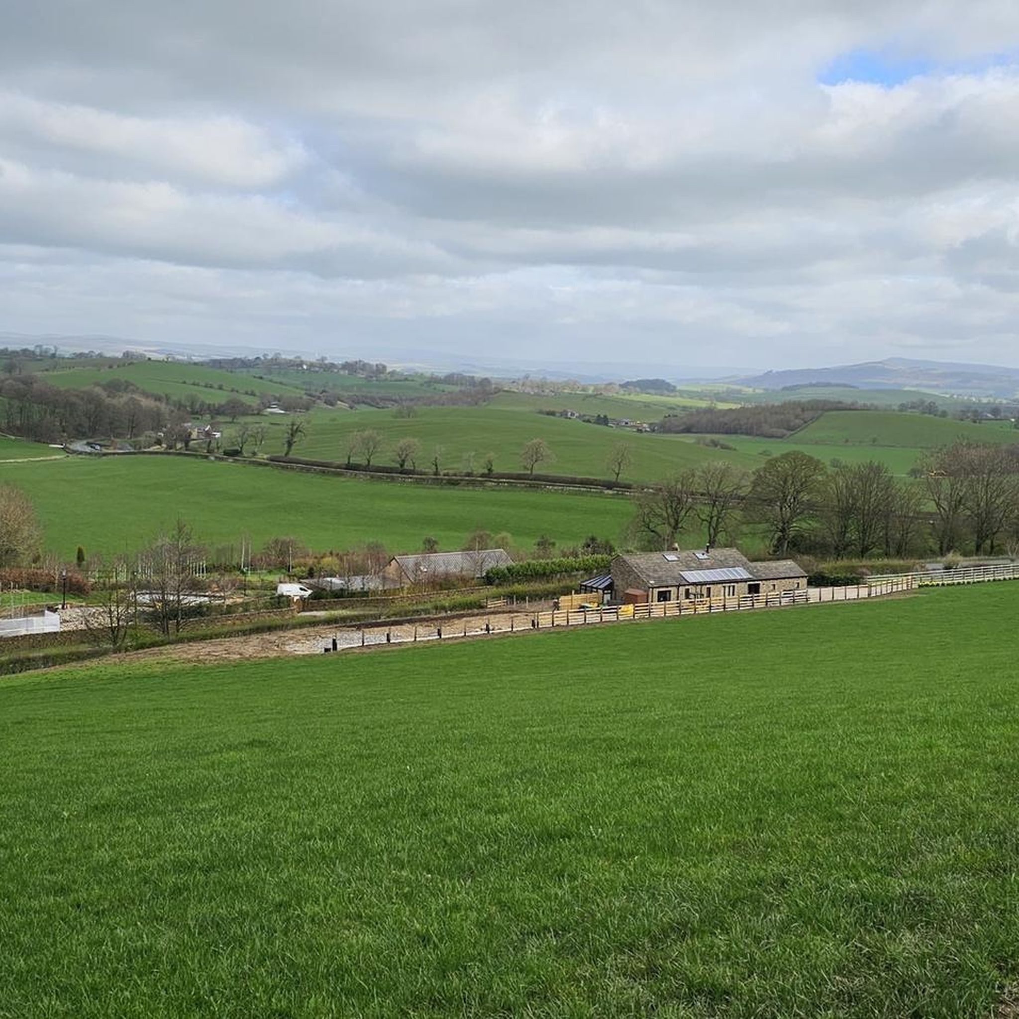
Tips from the Community

County Brook is the original divide between Lancashire and the former West Riding of Yorkshire.
0
0

Also on a very clear day you can see Blackpool Tower to the west, approx 40 miles away.
0
0

Good gravel towpath rideable on any bike.
0
0

Can make out one of the Rolls Royce turbo fan engines through the bushes and fence, next to the towpath.
0
0

Towpath is reasonable for cycling and there is something tranquil about a canal
0
0

Floating cafe near to Foulridge. Fantastic homemade cake & a decent brew.
0
0
Scenic views all round on the border between Lancashire and Yorkshire
0
0

Weets Hill rises to 1,302 feet (397 m) above Barnoldswick and features on the Pendle Way, a 45-mile (72 km) loop of the region. It's the second highest point on the walk, behind the eponymous Pendle Hill. Views from the summit are extensive on a clear day, with the Aire Valley, the Ribble Valley and the distant Yorkshire Dales all visible. The famous Yorkshire Three Peaks are arrayed with Inglebrough on the left, Whernside in the middle and Pen-y-ghent on the right. There's also a bench near the trig point, so you can sit back, relax and enjoy the panorama.
0
0
Frequently Asked Questions
How many running routes are available in Bracewell And Brogden?
There are over 400 running routes in the Bracewell And Brogden area, offering a wide range of options for different abilities and preferences. You'll find everything from easy canal-side paths to more challenging ascents.
Are there any easy or beginner-friendly jogging routes in Bracewell And Brogden?
Yes, Bracewell And Brogden offers many easy running options, with over 30 routes specifically categorized as easy. These often follow relatively flat canal towpaths, providing a gentle introduction to the area's scenic landscape. A good example is the Cannon's Pub & Eatery – Canal Towpath Steps loop from Barnoldswick, which is a moderate 3.3-mile path along the canal.
What are some longer running trails around Bracewell And Brogden?
For those looking for a longer run, the Cannon's Pub & Eatery – Lancashire–Yorkshire Border loop from Barnoldswick is a popular choice, covering 6.5 miles (10.5 km) and exploring the scenic border region. Another option is the challenging Weets Hill loop from Barnoldswick, which is 6.9 miles (11.1 km) and features significant elevation gain.
Can I find circular running routes in Bracewell And Brogden?
Yes, many of the running routes in Bracewell And Brogden are circular, allowing you to start and finish in the same location. For instance, the Canal Path Cobbles – Canal Towpath Steps loop from Barnoldswick is a 3.2-mile loop that takes you through canal-side scenery.
Are there running routes with good viewpoints in the area?
Absolutely. The landscape around Bracewell And Brogden includes gentle hills and higher points like Weets Hill, offering excellent views. The Weets Hill loop from Barnoldswick provides panoramic vistas. You can also find highlights like Sharp Haw Summit and Pinhaw Beacon which are known for their viewpoints.
What kind of terrain can I expect on the jogging trails?
The terrain in Bracewell And Brogden is diverse, featuring canal towpaths, rolling hills, and open countryside. You'll encounter a mix of relatively flat, accessible paths and more challenging ascents, particularly on routes leading to higher ground like Weets Hill. Many routes explore the border region between Lancashire and Yorkshire.
Are there any interesting landmarks or attractions to see while running?
Yes, the region offers several points of interest. You might encounter the Pendle Hill summit trig point or the Yorkshire Dales National Park nearby. For a cultural touch, the Alice Nutter Statue is also in the wider area.
What do other runners say about the trails in Bracewell And Brogden?
The running routes in Bracewell And Brogden are highly rated by the komoot community, with an average score of 4.6 stars from over 20 reviews. Runners often praise the varied terrain, the scenic canal towpaths, and the beautiful open countryside views.
Are there any running routes that pass by pubs or cafes?
While specific routes passing directly by cafes aren't detailed, many routes start or end near local establishments. For example, the Cannon's Pub & Eatery – Craven Heifer Inn loop from Barnoldswick suggests starting near a pub, and places like Downham Village are known for their local amenities.
Is Bracewell And Brogden a good place for trail running in winter?
While the region offers year-round running, winter conditions can vary. Canal towpaths might be more accessible in light snow, but higher, exposed routes like those around Weets Hill could be challenging due to ice or deeper snow. Always check local weather conditions and trail reports before heading out in winter.
Are there any specific routes that are particularly good for spotting wildlife?
The open countryside and canal-side paths in Bracewell And Brogden provide opportunities for wildlife spotting, especially birds and small mammals. Routes that traverse quieter, less developed areas or follow waterways are generally best for this. Keep an eye out along the Leeds and Liverpool Canal for waterfowl and other aquatic species.
Most popular attractions around Bracewell And Brogden

Get inspired with the komoot mobile app


Explore more
Browse the best Running Trails & Routes in other regions.
