The 17 Most Amazing Peaks around Brierfield
Best mountain peaks around Brierfield are found in a region known for its rolling hills and elevated natural landmarks. These prominent features offer extensive views and various hiking opportunities. The area, particularly in Lancashire, UK, features significant hills often referred to as peaks in the local context, popular for outdoor activities. These locations are valued for their scenic beauty and the physical challenge they offer to hikers.
Best mountain peaks around Brierfield
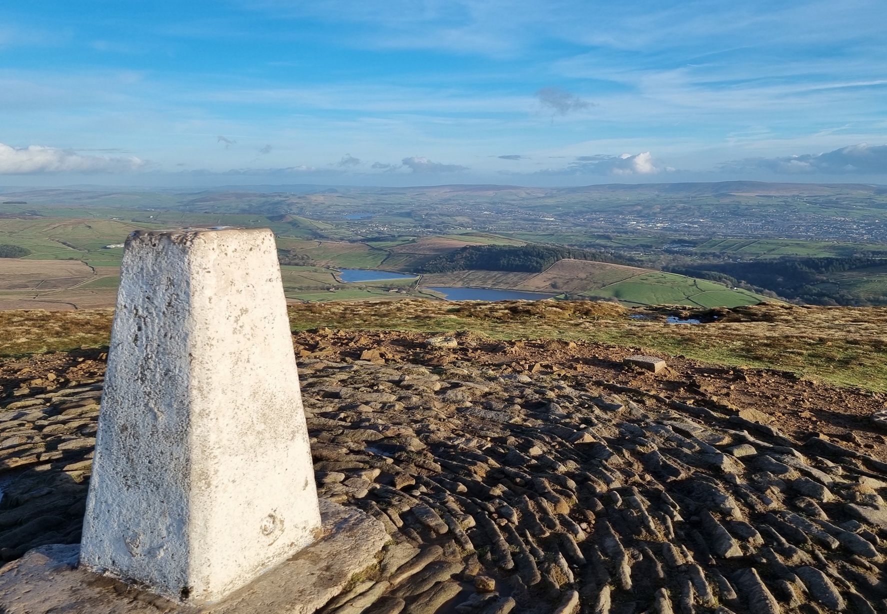
- The most popular mountain peaks is Pendle Hill summit trig point, a summit that stands at 1,827 feet (532 m) and offers views north into the Forest of Bowland and over populated areas of Lancashire. It is intertwined with myth and legend, including the famous Witch Trials of the early 17th century.
- Another must-see spot is Lad Law (Boulsworth Hill) Summit, a natural_monument. Lad Law, at 518 meters, is the highest point in the South Pennines. On a clear day, visitors can see into the Lake District, across the Forest of Bowland, and over the South Pennines.
- Visitors also love Weets Hill Summit & Trig Point, a viewpoint rising to 1,302 feet (397 m). Views from the summit are extensive on a clear day, with the Aire Valley, the Ribble Valley, and the distant Yorkshire Dales all visible.
- Brierfield is known for summits, viewpoints, and natural monuments. These include challenging ascents, historical landmarks, and trails that provide expansive vistas.
- The mountain peaks around Brierfield are appreciated by the komoot community, with more than 290 upvotes and over 180 photos shared by visitors.
Last updated: July 3, 2026
Pendle Hill summit trig point
Highlight • Summit
Tip by

Weets Hill Summit & Trig Point
Highlight • Viewpoint
Tip by

Sign up now to discover places like this
Get recommendations on the best single tracks, peaks, & plenty of other exciting outdoor places.
Sign up for free
Lad Law (Boulsworth Hill) Summit
Highlight • Natural Monument
On a clear day you can see into the Lake District, across the Forest of Bowland and over the south Pennines.
The rock here is millstone grit like much of the Peak District. It outcrops in several places forming steep edges.
Tip by

Thieveley Pike Trig Point
Highlight • Viewpoint
Tip by

View of Pendle Hill
Highlight • Summit
From this spot, it's a short but relatively strenuous hike up to Boulsworth Hill's Lad Law summit. The views are extensive from the top, with Lakeland giants Scafell Pike and Helvellyn, and even Blackpool's Big One roller coaster, visible on a clear day.
Tip by
Sign up for free to discover even more peaks around Brierfield.
Sign up for free
Already have an account?
Start today with a free account
Your next adventure awaits.
Login or Signup

Other adventures around Brierfield

Tips from the Community

Also on a very clear day you can see Blackpool Tower to the west, approx 40 miles away.
0
0

Boulsworth Hill is the highest point in the South Pennines and the only summit in the area that rises above 500m above sea level. It is also one of only two Marilyns in the South Pennines.
0
0

Don't forget that it's always windy on top.
1
0

Thieveley Pike is the highest point on Deerplay Moor, part of the Forest of Rossendale. The trig point is at 1,473 feet (449 m). It's on the Burnley Way long distance walking path but also visited by bridleway so you may see bikes and horses.
0
0

I grew up running around here, the front side with the steps is great for training.
0
0

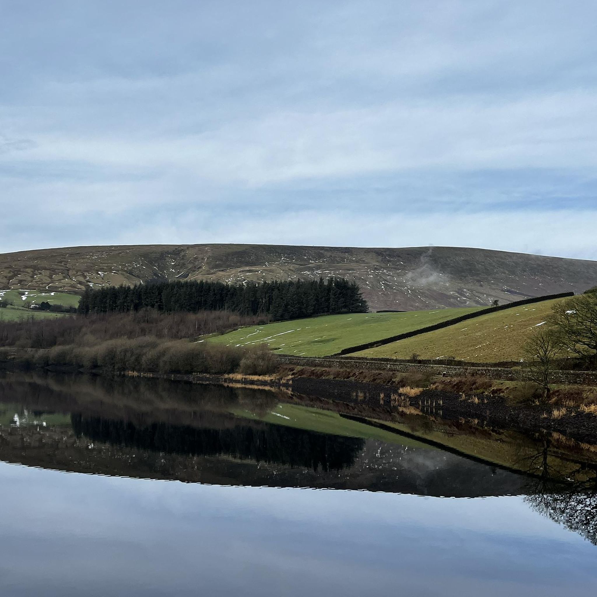
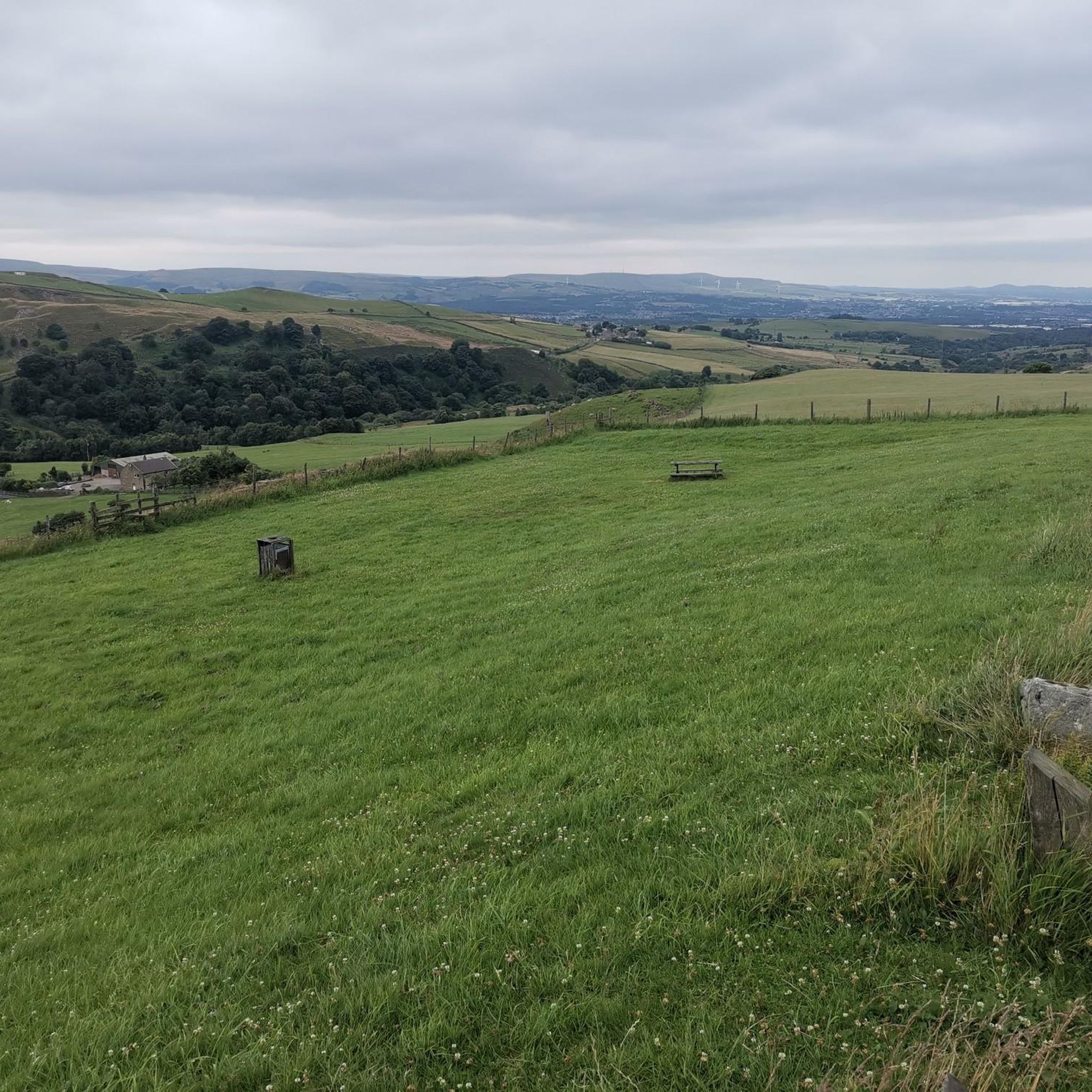
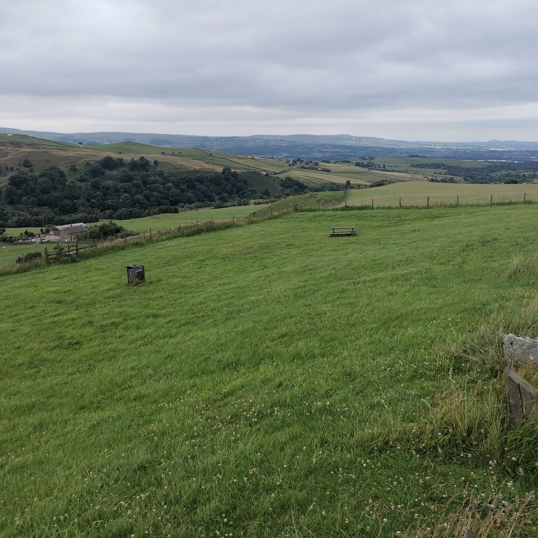
This section, along the lower flanks of Boulsworth Hill, provides a splendid view towards the iconic Pendle Hill. A Pennine outlier, Pendle Hill's beauty and bewitching history make it a popular objective. From this spot, it's a short but relatively strenuous hike up to Boulsworth Hill's Lad Law summit. The views are extensive from the top, with Lakeland giants Scafell Pike and Helvellyn, and even Blackpool's Big One roller coaster, visible on a clear day.
0
0
Weets Hill rises to 1,302 feet (397 m) above Barnoldswick and features on the Pendle Way, a 45-mile (72 km) loop of the region. It's the second highest point on the walk, behind the eponymous Pendle Hill. Views from the summit are extensive on a clear day, with the Aire Valley, the Ribble Valley and the distant Yorkshire Dales all visible. The famous Yorkshire Three Peaks are arrayed with Inglebrough on the left, Whernside in the middle and Pen-y-ghent on the right. There's also a bench near the trig point, so you can sit back, relax and enjoy the panorama.
0
0

Pendle Hill looms over East Lancashire between the towns of Clitheroe and Nelson. With its distinctive humpback shape, visible for miles around from all directions, it is a local landmark, rising from an area of green beauty. The district is dotted with tiny hamlets and farms, divided by ancient drystone walls and full of folklore and stories – not least the famous tale of the Pendle Witches. Geographically, Pendle Hill is part of the Pennine Chain of hills that run north-south through the northern half of England. It is included in the Forest of Bowland Area of Outstanding Natural Beauty, though Pendle is a discrete hill, separated from the main upland area of Bowland by the Ribble Valley.
0
0
Frequently Asked Questions
What are some of the most notable mountain peaks to explore around Brierfield?
The Brierfield area, particularly in Lancashire, UK, is known for its prominent hills often referred to as peaks. Key highlights include Pendle Hill summit trig point, famous for its views and association with the Pendle Witches; Lad Law (Boulsworth Hill) Summit, the highest point in the South Pennines; and Weets Hill Summit & Trig Point, offering extensive views across the Aire and Ribble Valleys.
Are there any family-friendly walks or easy mountain trails near Brierfield?
While some peaks like Pendle Hill offer challenging ascents, there are also easier options available. For instance, the Pendle Hill Path offers a less steep, switchback route as an alternative to the direct steps. Many trails around the region cater to various fitness levels, including moderate and easy routes found in the Hiking around Brierfield guide.
What kind of views can I expect from the mountain peaks around Brierfield?
The peaks around Brierfield offer expansive panoramic views. From Pendle Hill, you can see north into the Forest of Bowland and over populated areas of Lancashire. Weets Hill provides vistas of the Aire Valley, Ribble Valley, and even the distant Yorkshire Dales. On a clear day, Lad Law allows views into the Lake District and across the Forest of Bowland.
What historical or cultural significance do the peaks near Brierfield hold?
The region's peaks are rich in history and folklore. Pendle Hill is famously intertwined with the myth and legend of the Pendle Witches from the early 17th century, making it a site of significant historical interest.
Are there specific parking areas for hiking trails around Brierfield's peaks?
While specific parking details for each peak are best checked locally, popular starting points for trails often have designated parking. For example, many routes up Pendle Hill start from villages like Barley, which typically offer parking facilities for hikers.
What outdoor activities, besides hiking, can I do near these mountain peaks?
Beyond hiking, the Brierfield area offers a variety of outdoor activities. You can explore numerous routes for cycling, including challenging rides like 'The Pendle Inn, Barley – View of Pendle Hill loop'. There are also many running trails, such as the 'Thompson Park Boating Lake – Towneley Hall and Park loop'.
What is the best time of year to hike the peaks around Brierfield?
The peaks around Brierfield can be enjoyed year-round, but conditions vary. Spring and summer offer milder weather and clearer views, ideal for longer hikes. Autumn brings beautiful foliage. Winter hiking is possible but requires appropriate gear due to potentially challenging conditions like ice and snow, especially on higher points like Pendle Hill.
Are dogs allowed on the trails around Brierfield's mountain peaks?
Many trails in the Brierfield area are dog-friendly, allowing you to enjoy the outdoors with your canine companion. However, it's always advisable to keep dogs on a lead, especially near livestock or in nature conservation areas, and to check specific trail regulations before your visit.
What geological features characterize the mountains around Brierfield?
The geology of the region, particularly around peaks like Lad Law (Boulsworth Hill), is characterized by millstone grit. This rock type forms distinctive features, including steep edges in several places, similar to those found in parts of the Peak District.
What do visitors enjoy most about the mountain peaks around Brierfield?
Visitors frequently praise the extensive views from the summits, the physical challenge of the ascents, and the sense of accomplishment. The unique historical context, particularly around Pendle Hill, also adds to the appeal. The komoot community has shared over 180 photos and given more than 290 upvotes, highlighting the scenic beauty and rewarding experiences.
Can I find cafes, pubs, or accommodation near the hiking trails in Brierfield?
Yes, the villages and towns surrounding the peaks often provide amenities for visitors. For example, Barley, a common starting point for Pendle Hill, has cafes and pubs. It's recommended to check local listings for specific options and opening times in areas like Barley or Barnoldswick, which is near Weets Hill.
How long does it typically take to hike the main peaks around Brierfield?
Hiking times vary significantly based on the peak, chosen route, and individual fitness. For instance, a direct ascent of Pendle Hill can take a few hours for the round trip, while longer circular routes incorporating multiple peaks or extended trails will naturally take more time. Always plan your route and allow ample time for your hike.
Most popular routes around Brierfield
Most popular attractions around Brierfield

Get inspired with the komoot mobile app


Explore more
See even more amazing summits around Brierfield with these guides:
