Aighton, Bailey And Chaigley
Aighton, Bailey And Chaigley
The best running trails around Aighton, Bailey And Chaigley
4.3
(4)
350
runners
29
runs
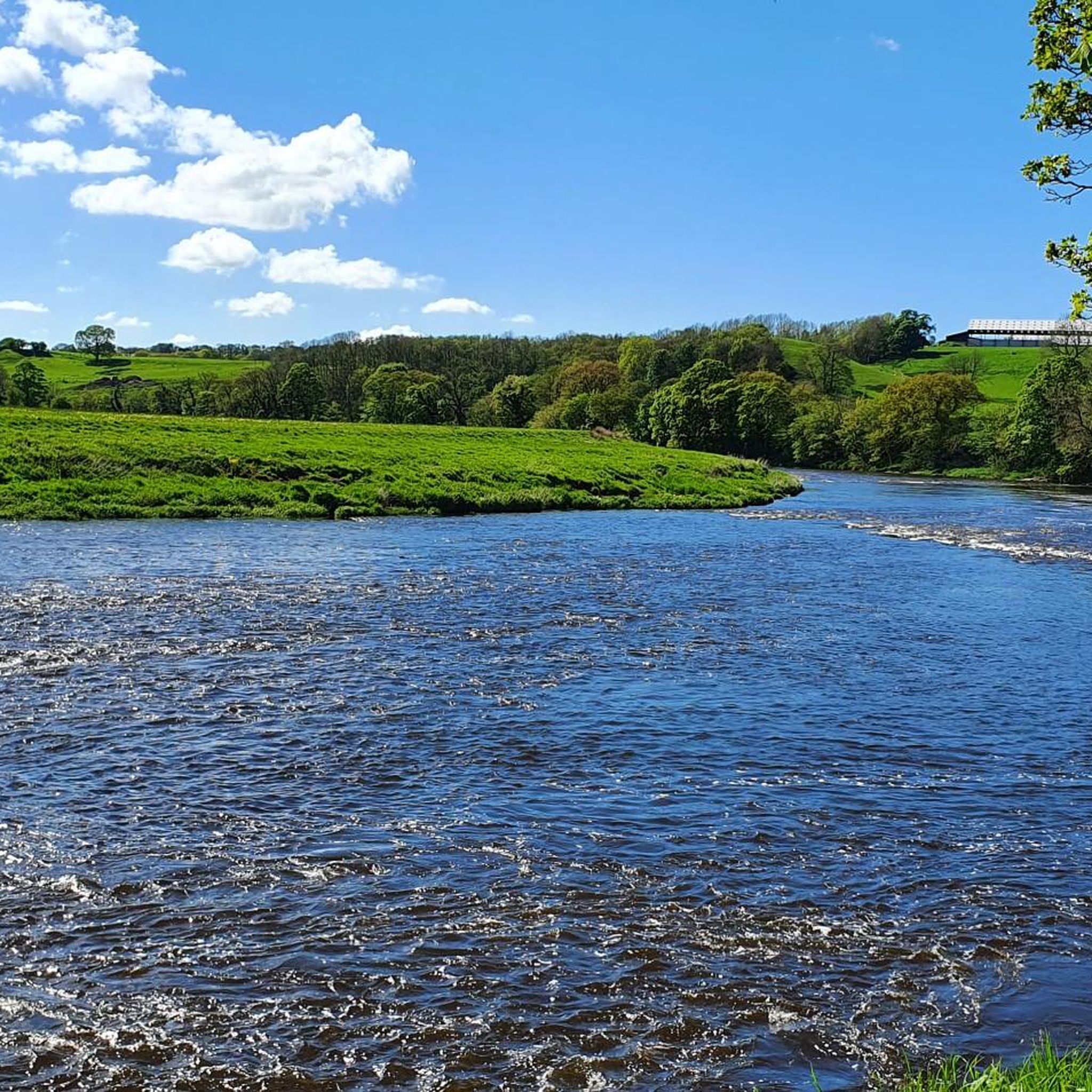
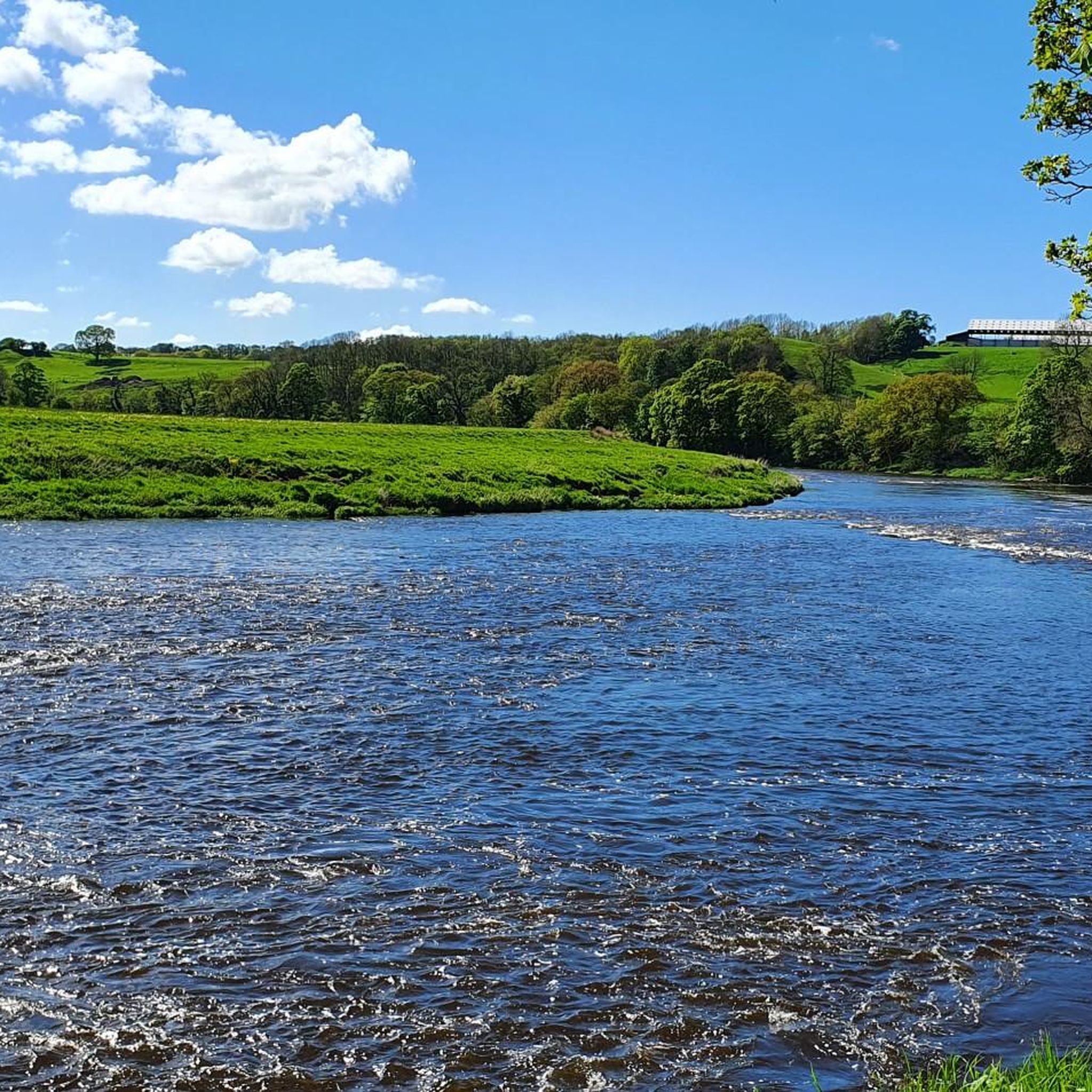
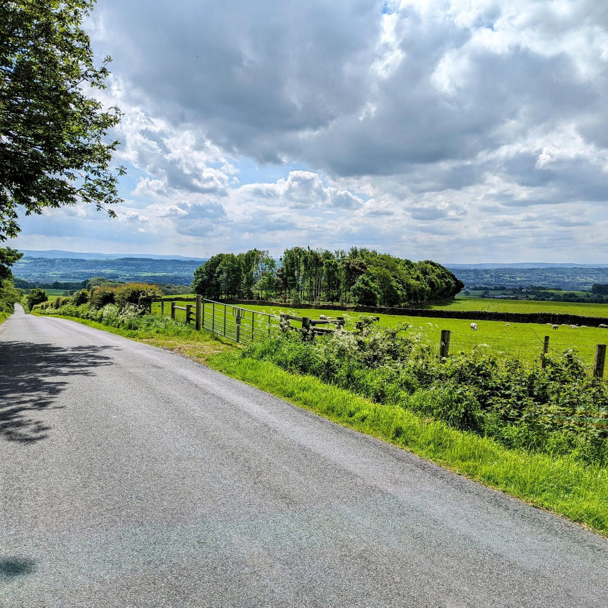
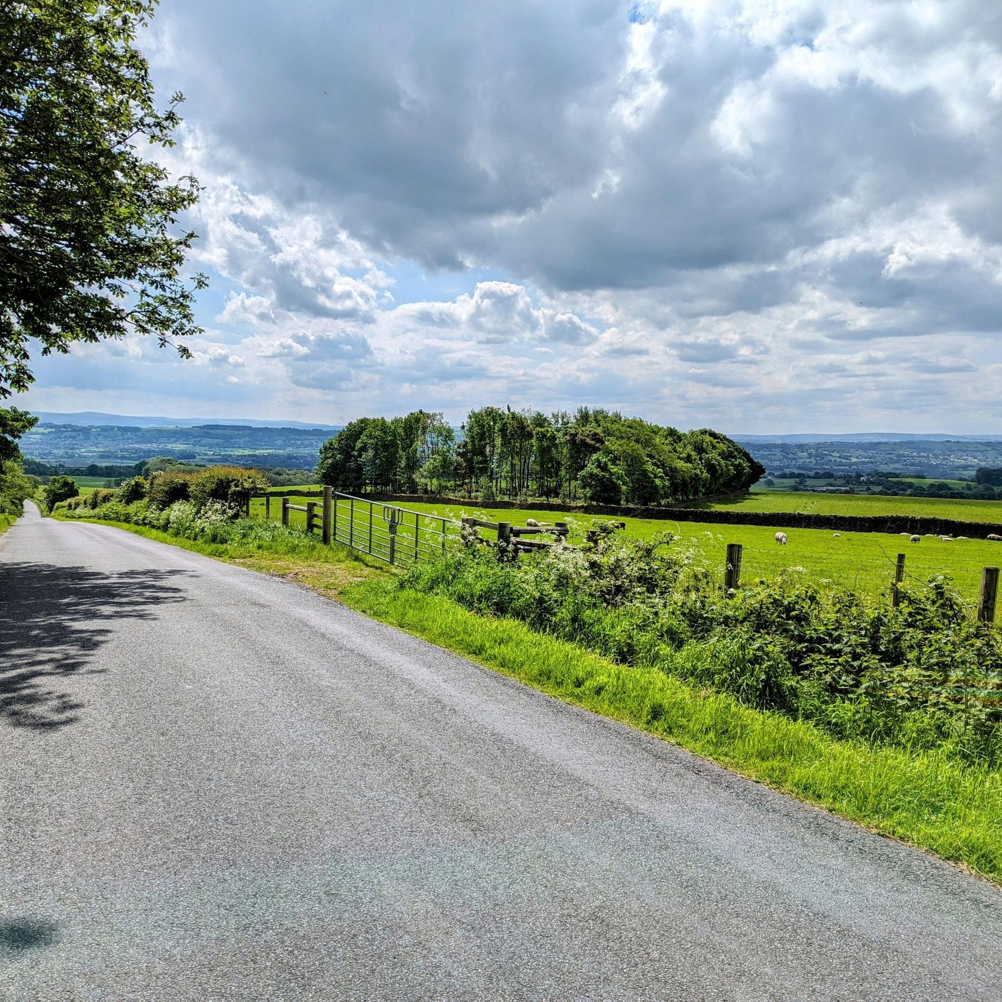
Jogging around Aighton, Bailey And Chaigley offers diverse landscapes within the picturesque Ribble Valley. The region is characterized by rolling hills, lush pastures, and the meandering River Ribble, providing varied terrain for runners. Prominent features include Longridge Fell, offering panoramic views, and sections of the Forest of Bowland Area of Outstanding Natural Beauty. The River Hodder also provides tranquil routes through the area.
Best jogging routes around Aighton, Bailey And Chaigley
- The most popular jogging route is Spring Wood –…
Last updated: July 5, 2026
49
runners
8.27km
00:57
140m
140m
Moderate run. Good fitness required. Mostly paved surfaces. Suitable for all skill levels.
5.0
(1)
36
runners
9.55km
01:03
210m
210m
Moderate run. Good fitness required. Mostly paved surfaces. Suitable for all skill levels.

Sign up for free
27
runners
19.6km
02:04
200m
200m
Hard run. Very good fitness required. Mostly paved surfaces. Suitable for all skill levels.
23
runners
Moderate run. Good fitness required. Mostly paved surfaces. Suitable for all skill levels.
18
runners
12.2km
01:22
250m
250m
Moderate run. Good fitness required. Mostly paved surfaces. Suitable for all skill levels.
Get access to more routes and recommendations from other explorers.
Sign up for free
Already have an account?
Our route recommendations are based on thousands of hikes, rides, and runs completed by other people on komoot.
Start today with a free account
Your next adventure awaits.
Login or Signup

Tips from the Community

TP4535 - Longridge Fell | Trig Point | TrigpointingUK | TrigpointingUK https://share.google/z9V3FwjJe70qzF6sy
0
0

Currently closed due to risk of collapse, but you can see it from the road!
0
0

Super quiet and peaceful path on the outskirts of Hurst Green, the area which inspired JRR Tolkien.
0
0

When we visited in August 2024 it was possible to access Cromell's bridge from the east side of the new road bridge. But access was quite hazardous along a steep bank side so great care needed.
0
0

Family friendly walk from Jeffrey Hill car park. Short, out and back route & a great spot for sunset.
0
0
Private school with beautiful paths and lanes nearby. Close to the village of Hurst Green.
0
0
The bridge leading into the beautiful village of Hurst Green.
0
0

It is no longer possible to walk over Cromwell's bridge
0
0
Frequently Asked Questions
What kind of terrain can I expect on the running routes in Aighton, Bailey And Chaigley?
The region, nestled within the picturesque Ribble Valley, offers a diverse range of terrain. You'll find everything from gentle riverside paths along the River Ribble and River Hodder to more challenging fell climbs on Longridge Fell. Many routes traverse lush pastures and ancient lanes, with some extending into the wild moorland of the Forest of Bowland Area of Outstanding Natural Beauty.
Are there many easy running routes for beginners or those looking for a relaxed jog?
Yes, Aighton, Bailey And Chaigley offers several easier running options. Out of the 29 routes available, 3 are classified as easy, providing less strenuous paths suitable for a relaxed pace or for those new to running. These often follow flatter sections along river valleys.
What are some of the most scenic running routes in the area?
Many routes offer spectacular views. For instance, paths around Longridge Fell provide panoramic vistas north over Chipping to Bleasedale Moor and south over the Ribble Valley. The Deer House Wood loop from Stonyhurst College is another scenic option, winding through beautiful woodlands.
Are there any circular running routes available?
Yes, many of the running routes in Aighton, Bailey And Chaigley are circular, allowing you to start and finish at the same point. Examples include the Spring Wood – Raid Deep Wood loop from Stonyhurst College and the Hodder Bridge – Low Moor Bridge loop from Stonyhurst College, which takes you through the scenic River Hodder valley.
What interesting landmarks or natural features can I see while running in this region?
The area is rich in natural beauty and points of interest. You can encounter the meandering River Ribble and River Hodder, and enjoy views of Pendle Hill. The Trig point at Longridge Fell summit offers rewarding panoramic views. For a unique experience, consider the Tolkien Trail, a 9km circular walk near Hurst Green, said to have inspired J.R.R. Tolkien.
What do other runners enjoy most about jogging in Aighton, Bailey And Chaigley?
The running routes in Aighton, Bailey And Chaigley are highly rated by the komoot community, with an average score of 4.25 stars from 4 reviews. Runners often praise the diverse landscapes, from rolling hills and river valleys to sections of the Forest of Bowland, offering varied and engaging experiences for all ability levels.
Are there any running routes suitable for families with children?
While specific 'family-friendly' routes are not explicitly detailed, the region offers a variety of paths, including easier, flatter sections along the rivers. These gentler routes could be suitable for families looking for a less strenuous run or walk. The Trig point at Longridge Fell summit is also a popular destination for family-friendly walks, suggesting accessible paths in that area.
Can I bring my dog on the running trails?
Many public footpaths and trails in the Ribble Valley and Forest of Bowland are dog-friendly, provided dogs are kept under control, especially around livestock. It's always best to check local signage for specific restrictions on individual routes or protected areas. Generally, the diverse network of paths offers plenty of opportunities for running with your canine companion.
What is the best time of year to go running in Aighton, Bailey And Chaigley?
The region is beautiful year-round, but spring and autumn offer particularly pleasant conditions for running with milder temperatures and stunning scenery. Spring brings blooming wildflowers, while autumn showcases vibrant foliage. Summer is also popular, but be prepared for potentially warmer weather. Some riverside paths, like those along the River Hodder, might have impassable stepping stones after heavy rain, so checking conditions is advisable.
Are there any challenging running routes for experienced trail runners?
Absolutely. For those seeking a more strenuous experience, the area offers routes with significant elevation gain and technical sections, particularly around Longridge Fell and within the Forest of Bowland AONB. The Stonyhurst College – Stonyhurst Clay Target Centre loop from Stonyhurst College, for example, is a moderate route with over 200m of elevation gain, providing a good challenge. More difficult routes, like the Hodder Bridge – Low Moor Bridge loop, also offer longer distances and varied terrain.
Where can I find parking for the running routes?
Many routes, particularly those starting from popular points like Stonyhurst College or near Longridge Fell, will have designated parking areas. It's advisable to check specific route details on komoot for parking information related to your chosen starting point. Public car parks are also available in nearby villages and towns within the Ribble Valley.
Most popular routes around Aighton, Bailey And Chaigley
Most popular attractions around Aighton, Bailey And Chaigley

Get inspired with the komoot mobile app


Explore more
Browse the best Running Trails & Routes in other regions.
