The best running trails around Myerscough And Bilsborrow
4.5
(16)
2,122
runners
14
runs
Jogging routes around Myerscough And Bilsborrow traverse a landscape characterized by expansive grasslands, interspersed woodlands, and accessible waterways. The region features peaceful riverside paths along the River Brock and towpaths beside the Lancaster Canal, offering varied scenery for runners. These routes often include a mix of open fields and sheltered wooded sections, providing diverse environments for outdoor activity. The terrain is generally gentle, with minimal elevation changes, making it suitable for a range of fitness levels.
Best jogging routes around…
Last updated: September 25, 2026
57
runners
17.8km
01:50
40m
40m
Hard run. Very good fitness required. Mostly paved surfaces. Suitable for all skill levels.
12
runners
Hard run. Very good fitness required. Mostly paved surfaces. Suitable for all skill levels.

4
runners
Moderate run. Good fitness required. Mostly paved surfaces. Suitable for all skill levels.
12
runners
5.66km
00:37
20m
20m
Moderate run. Good fitness required. Mostly paved surfaces. Suitable for all skill levels.
4
runners
Moderate run. Good fitness required. Mostly paved surfaces. Suitable for all skill levels.
Get access to more routes and recommendations from other explorers.
Already have an account?
Our route recommendations are based on thousands of hikes, rides, and runs completed by other people on komoot.
Start today with a free account
Your next adventure awaits.
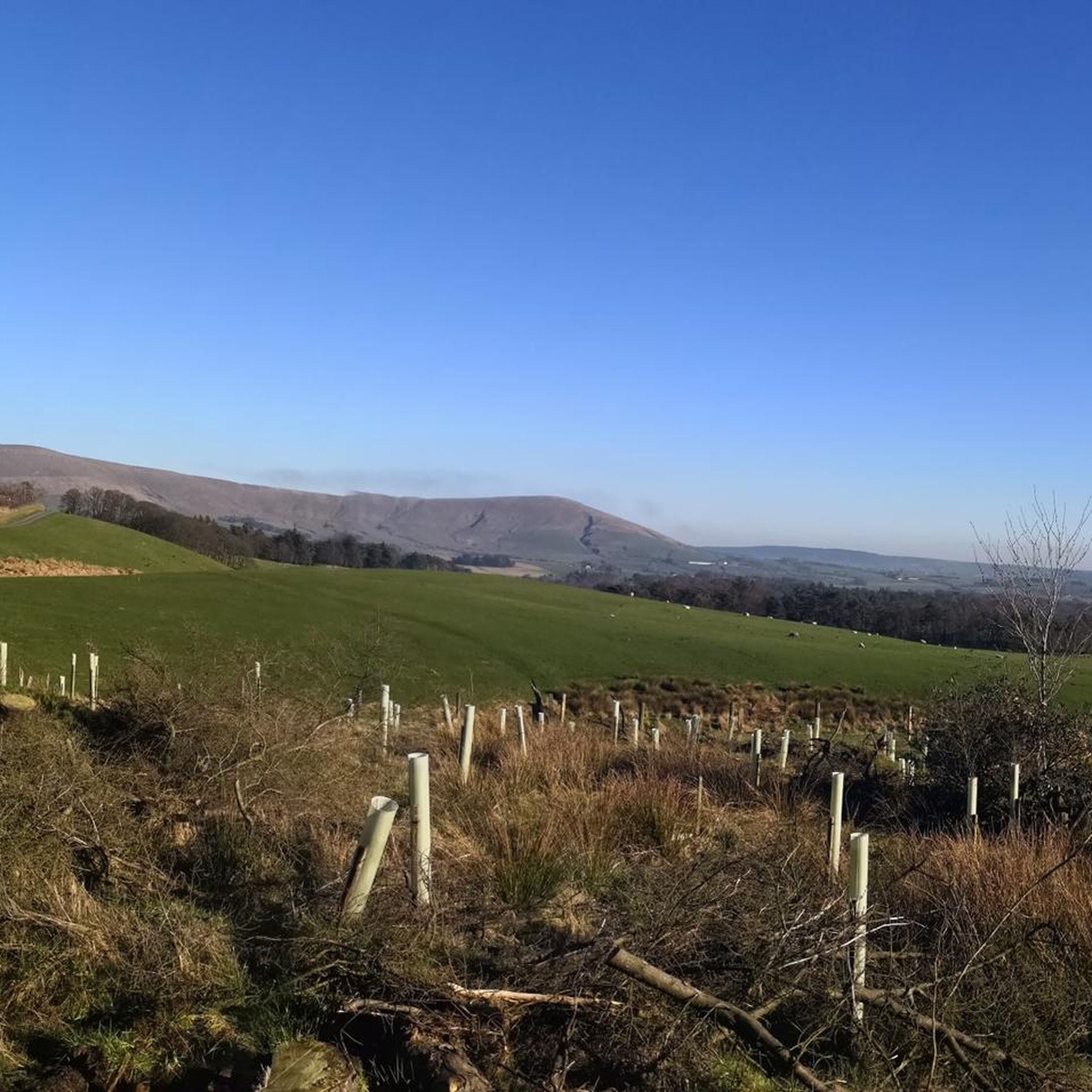
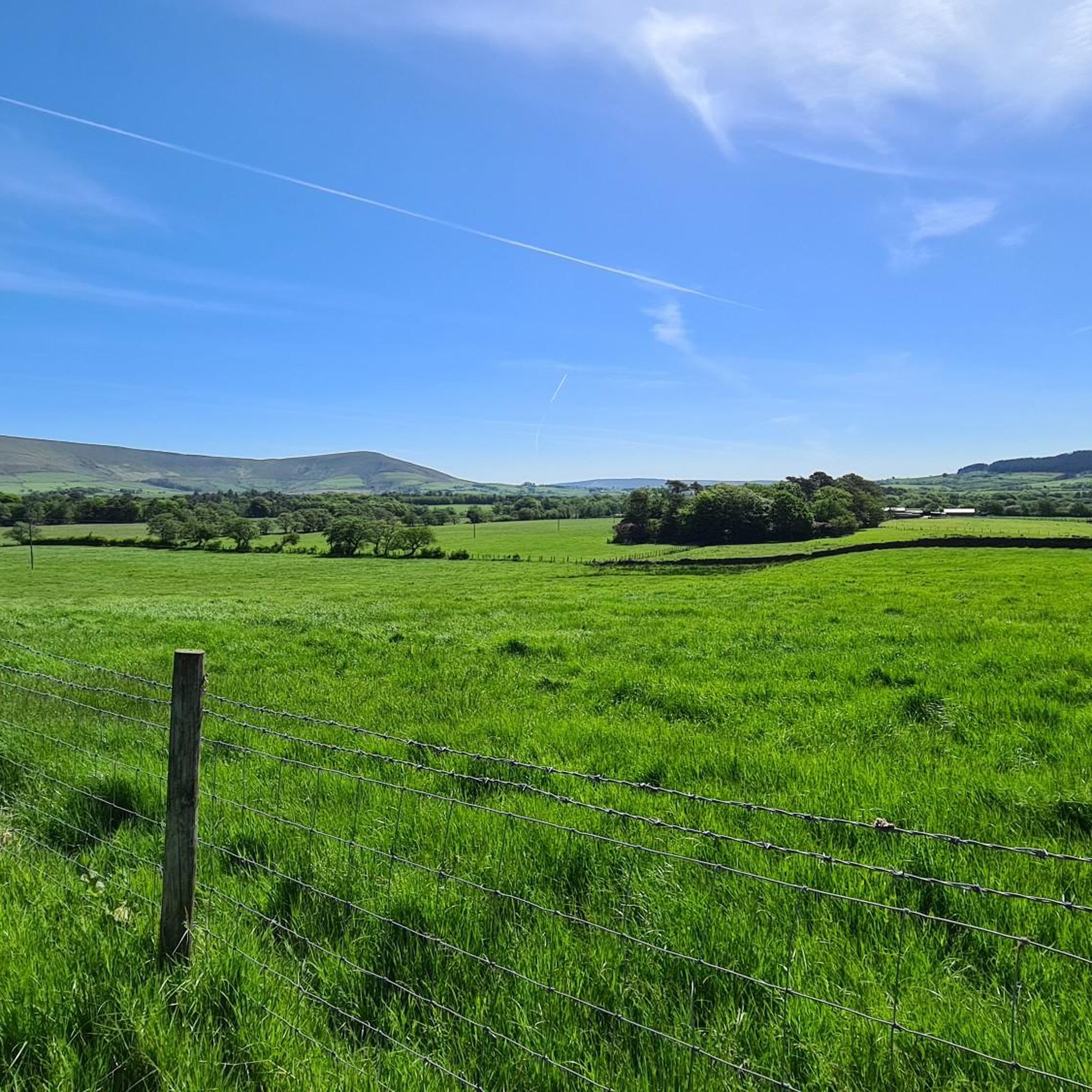
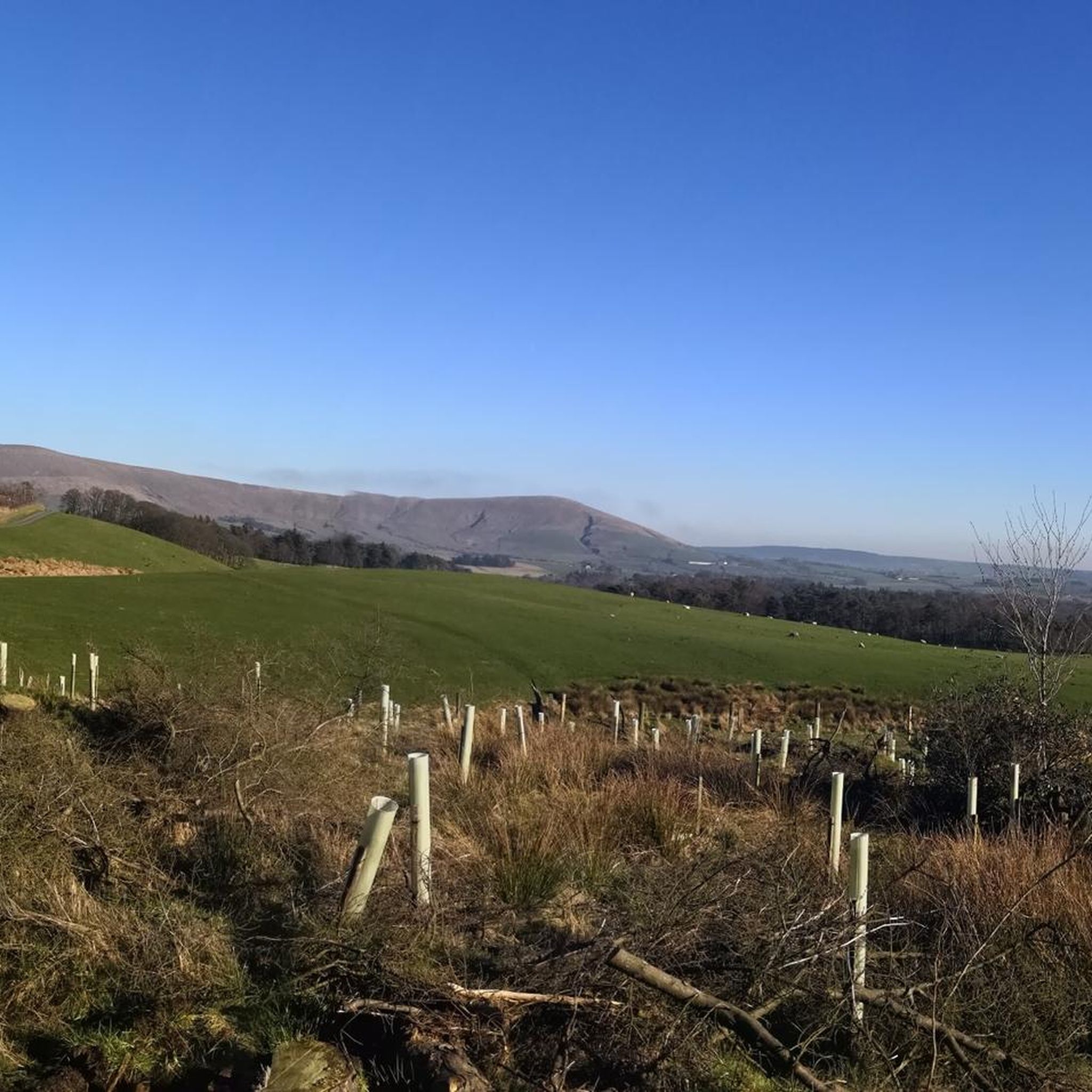

Tips from the Community

Shop doing sandwiches, pies, hot and cold drinks. With outside seating.
0
0


Canal through fields, often see herons, kingfishers and other wildlife along here.
0
0

An unusual looking thatched pub with a canalside location.
2
0
Frequently Asked Questions
How many running routes are available in Myerscough And Bilsborrow?
There are over 15 dedicated running routes around Myerscough And Bilsborrow, offering a variety of options for different fitness levels. Most of these are moderate, with one challenging trail for experienced runners.
Are there any easy running trails suitable for beginners in Myerscough And Bilsborrow?
While most routes are rated as moderate, the terrain in Myerscough And Bilsborrow is generally gentle with minimal elevation changes, making many of them accessible for beginners. For a shorter, less strenuous option, consider the Owd Nell's Tavern loop from Myerscough College, which is 5.7 km (3.5 miles) long.
What kind of scenery can I expect on the jogging routes in this area?
The running routes in Myerscough And Bilsborrow traverse a beautiful landscape characterized by expansive grasslands, interspersed woodlands, and accessible waterways. You'll find peaceful riverside paths along the River Brock and scenic towpaths beside the Lancaster Canal, offering a refreshing retreat into Lancashire's countryside.
Are there any circular running routes in Myerscough And Bilsborrow?
Yes, many of the running routes in the area are circular, allowing you to start and finish at the same point. A popular moderate circular route is the Town Croft Wood loop from Myerscough and Bilsborrow, which is 8.0 km (5.0 miles) and leads through woodlands and open fields.
What do other runners enjoy most about jogging in Myerscough And Bilsborrow?
The running routes in Myerscough And Bilsborrow are highly rated by the komoot community, with an average score of 4.6 stars from over 10 reviews. Reviewers often praise the varied terrain, from quiet woodlands to open fields, and the serene paths along the waterways like the Lancaster Canal.
Are the running trails in Myerscough And Bilsborrow dog-friendly?
Many of the trails in Myerscough And Bilsborrow, particularly those through woodlands and along canal towpaths, are suitable for running with dogs. However, always ensure your dog is under control, especially in areas with livestock or near roads, and check for any local signage regarding leash requirements.
Can I find family-friendly jogging routes in the region?
Yes, the generally gentle terrain and varied scenery make many routes suitable for families. Paths along the Lancaster Canal offer flat, accessible surfaces. For a moderate option that's not too long, consider the Black Fir Wood loop from Myerscough and Bilsborrow, which is 8.3 km (5.1 miles) and takes you through pleasant woodland.
Are there any landmarks or points of interest to see along the running routes?
Absolutely! The area offers several points of interest. You might encounter the historic Cartford Toll Bridge, or the impressive Ribble Link Staircase Locks and Holding Basin along the waterways. For a unique experience, the Ribble Steam Railway near Preston Docks also offers views that can be enjoyed alongside a run.
What is the best time of year to go running in Myerscough And Bilsborrow?
Myerscough And Bilsborrow offers rewarding running experiences year-round. Spring is particularly beautiful when riverbanks like those at Brock Bottom are covered in bluebells. The varied landscapes, including woodlands and open fields, provide pleasant conditions in most seasons, though paths can be muddy after rain. Always check local weather conditions before heading out.
Are there any running routes that pass by pubs or cafes?
Yes, some routes offer opportunities to stop at local establishments. The Lancashire Cycleway Signpost – Owd Nell's Tavern loop from Myerscough College, for example, passes by Owd Nell's Tavern, providing a convenient spot for refreshments during or after your run.
Is there public transport access to the running trails in Myerscough And Bilsborrow?
Public transport options to Myerscough And Bilsborrow are available, though they might require some planning. Local bus services connect the villages to larger towns like Preston, which has more extensive transport links. It's advisable to check specific bus routes and timetables to find the most convenient access points for your chosen running trail.
Where can I find parking for the running routes?
Parking is generally available in and around Myerscough and Bilsborrow, particularly near popular starting points for trails or in village centers. Many routes, especially those starting from Myerscough College or near local pubs like Owd Nell's Tavern, often have designated parking areas. Always check for local parking regulations and availability.
Most popular routes around Myerscough And Bilsborrow
Most popular attractions around Myerscough And Bilsborrow

Get inspired with the komoot mobile app


Explore more
Browse the best Running Trails & Routes in other regions.
