The best MTB trails around Bilsdale Midcable
4.4
(151)
1,058
riders
79
rides
Mountain biking around Bilsdale Midcable offers routes through a landscape characterized by rolling hills, river valleys, and open moorland. The area features varied terrain, including sections along the River Rye and tracks through agricultural land, with several viewpoints providing expansive vistas. Trails often navigate through areas with significant elevation changes, typical of the North York Moors.
Best mountain bike trails around Bilsdale Midcable
- The most popular mountain bike trail is Clay Bank Summit Viewpoint – Cock Rock loop from Broughton…
Last updated: July 8, 2026
4.2
(10)
36
riders
27.6km
02:43
590m
580m
Hard mountain bike ride. Good fitness required. Advanced riding skills necessary. Some portions of the route may require you to push your bike.
4.2
(9)
33
riders
Moderate mountain bike ride. Good fitness required. Suitable for all skill levels.

Sign up for free
4.0
(2)
25
riders
Moderate mountain bike ride. Good fitness required. Advanced riding skills necessary.
4.7
(3)
24
riders
51.6km
04:28
670m
670m
Moderate mountain bike ride. Good fitness required. Suitable for all skill levels.
4.0
(1)
12
riders
Moderate mountain bike ride. Good fitness required. Suitable for all skill levels.
Get access to more routes and recommendations from other explorers.
Sign up for free
Already have an account?
Our route recommendations are based on thousands of hikes, rides, and runs completed by other people on komoot.
Start today with a free account
Your next adventure awaits.
Login or Signup
Popular around Bilsdale Midcable
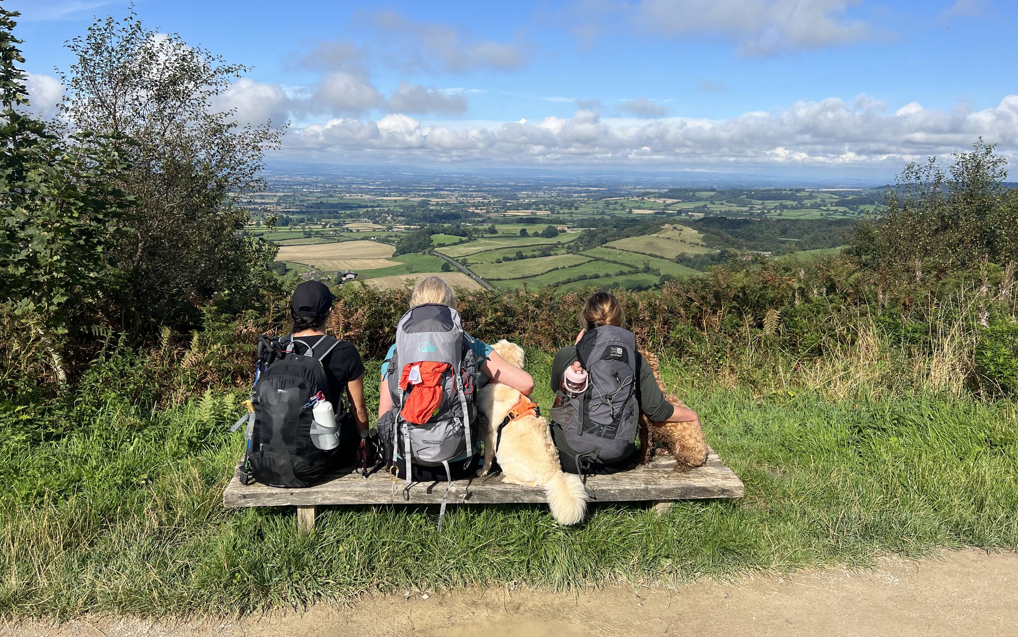
North York Moors National Park – A Walk in the Parks
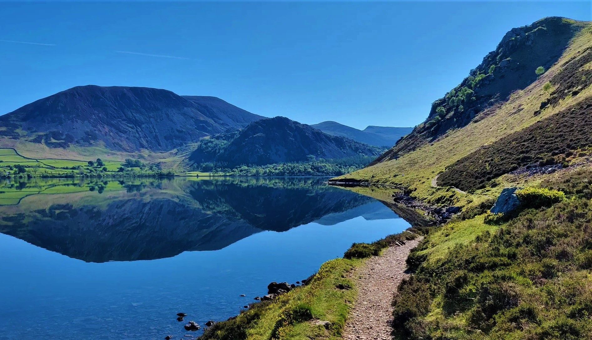
Wainwright's Coast to Coast — Hike the width of England in 13 stages
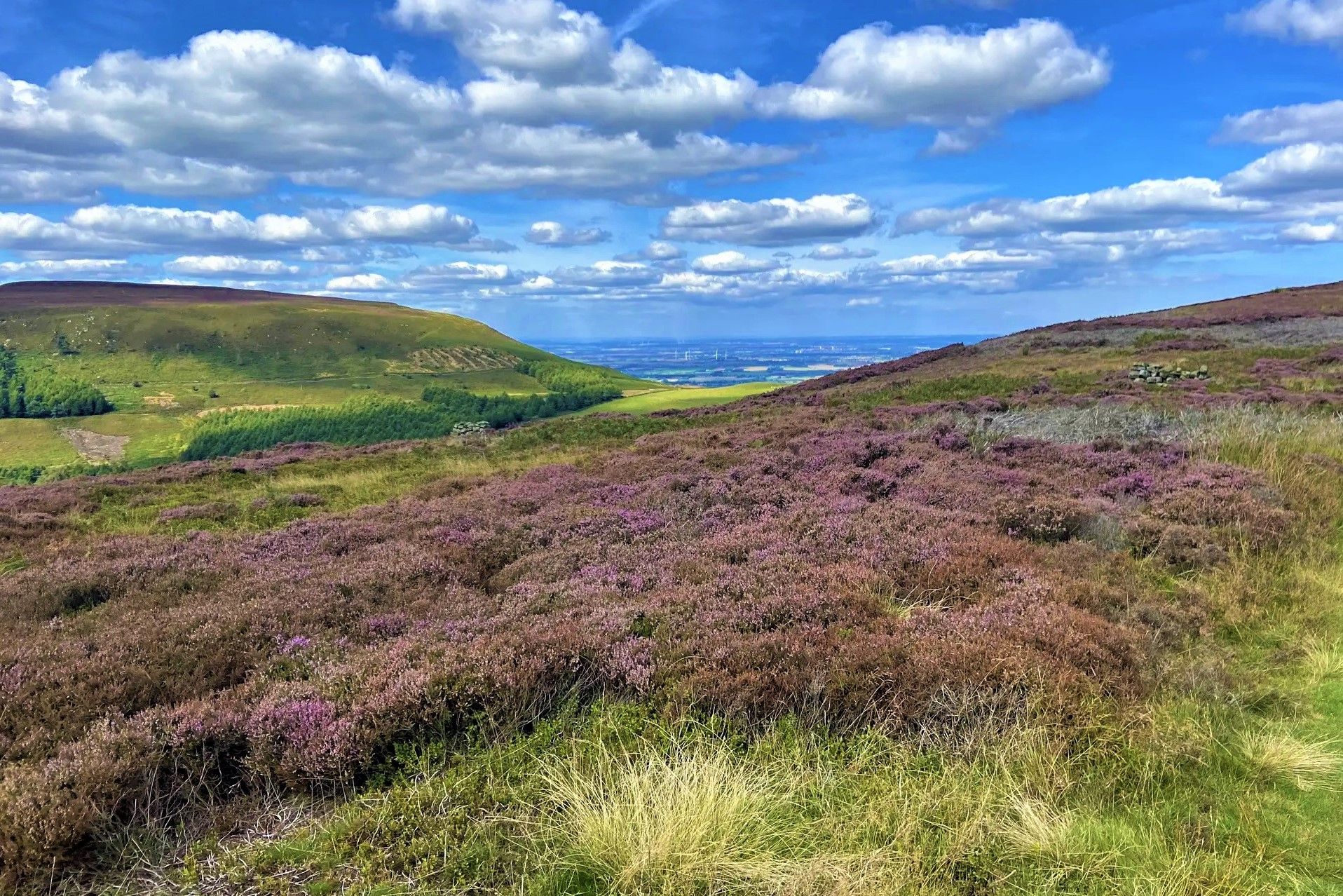
Purple heather, golden sand and classic hiking – North York Moors
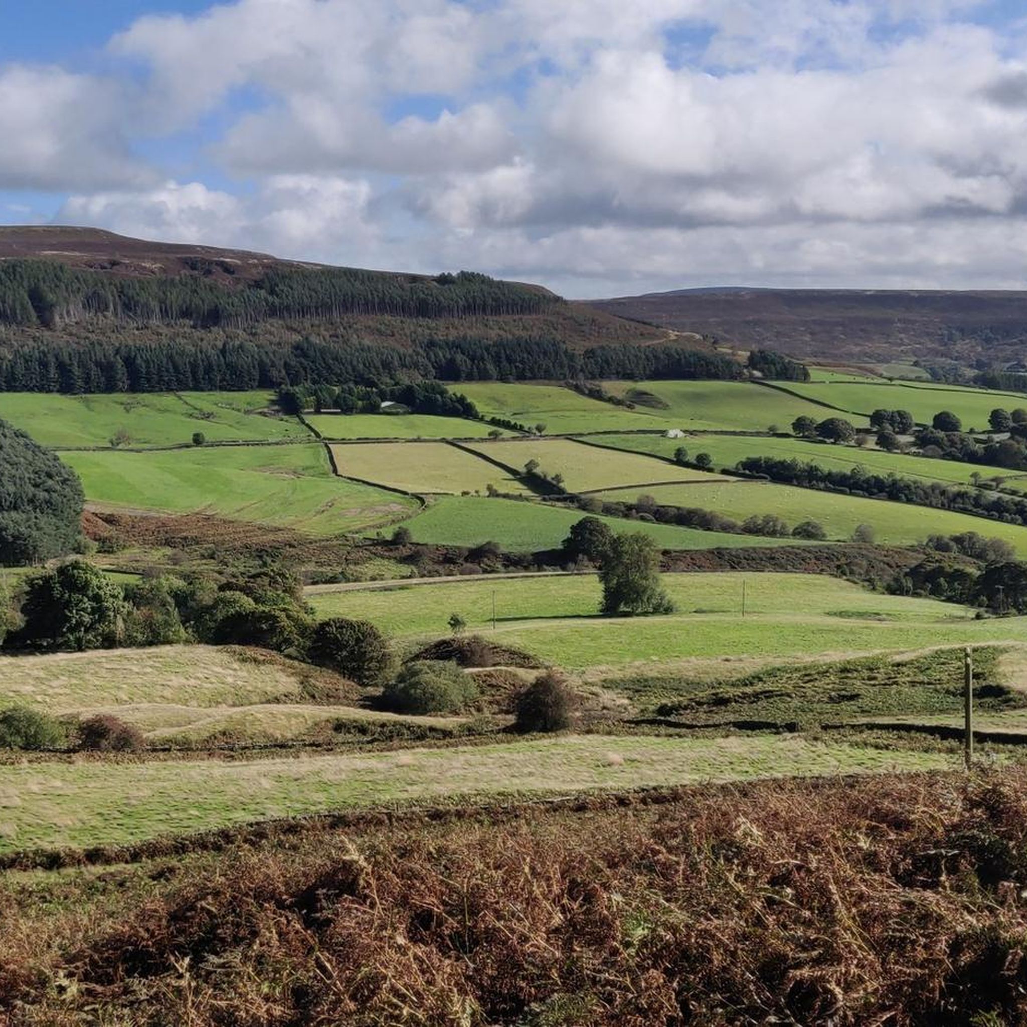
Hiking around Bilsdale Midcable
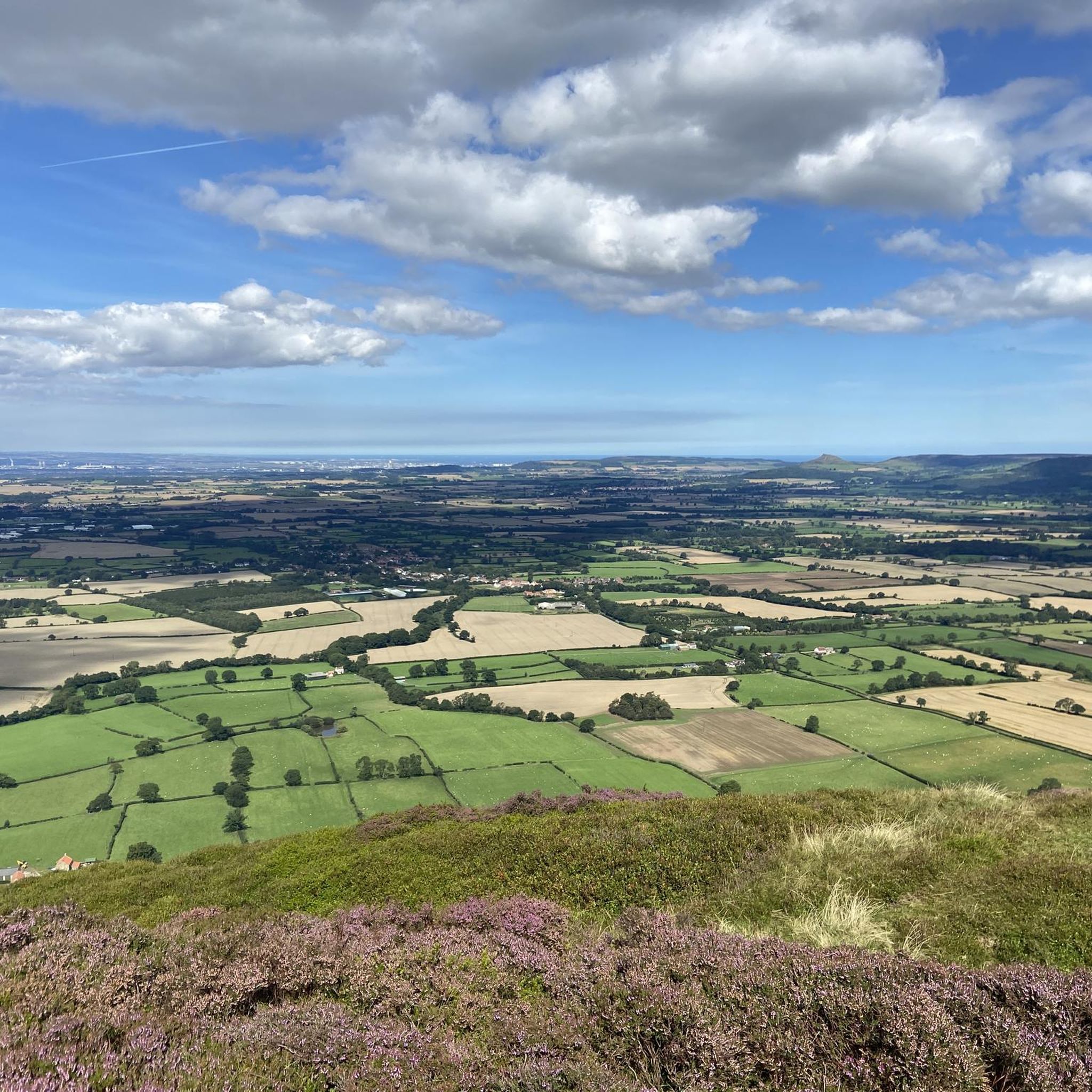
Running Trails around Bilsdale Midcable
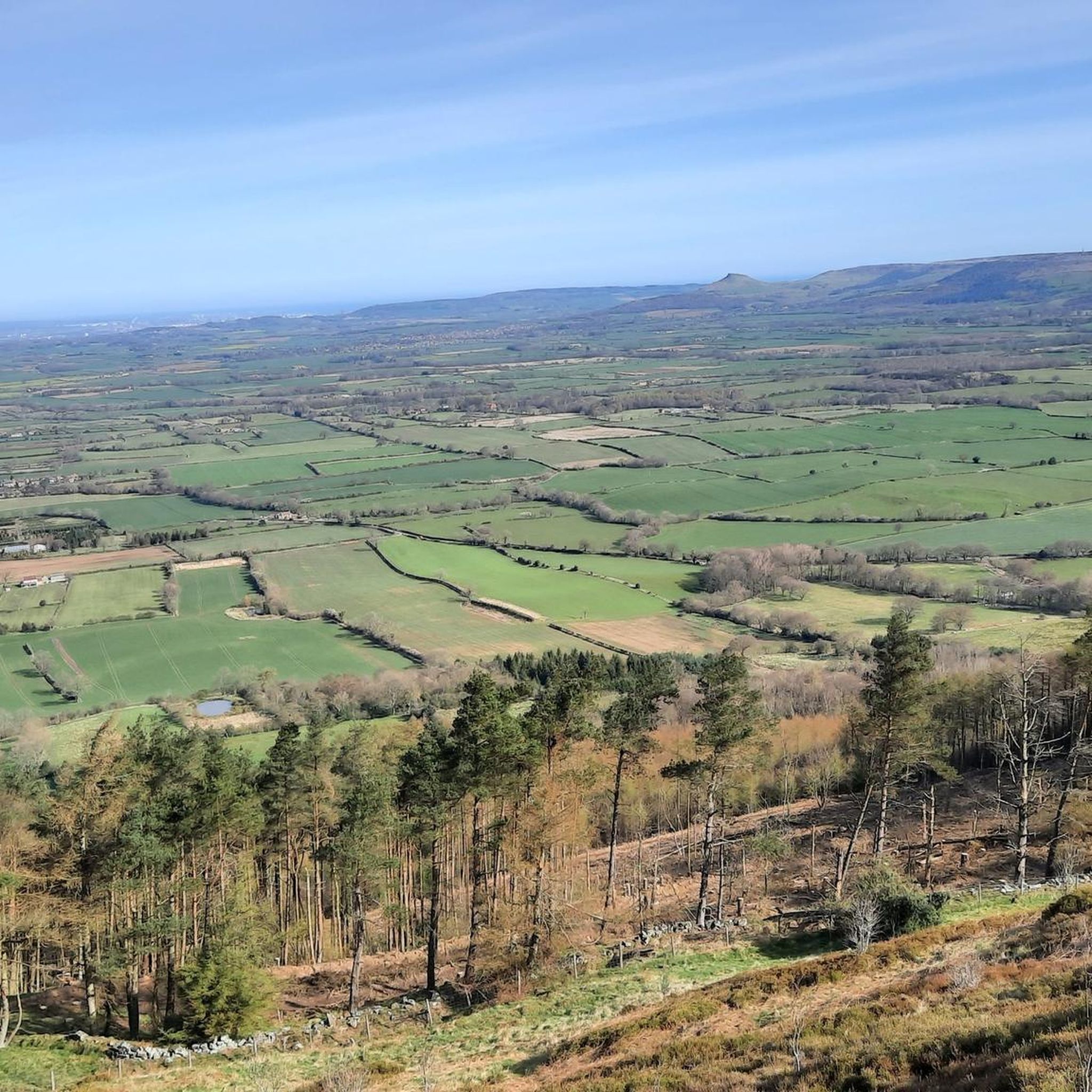
Road Cycling Routes around Bilsdale Midcable
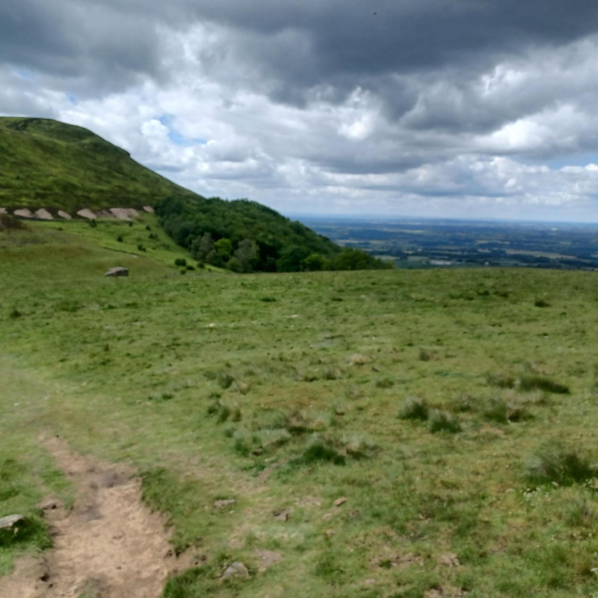
Cycling around Bilsdale Midcable
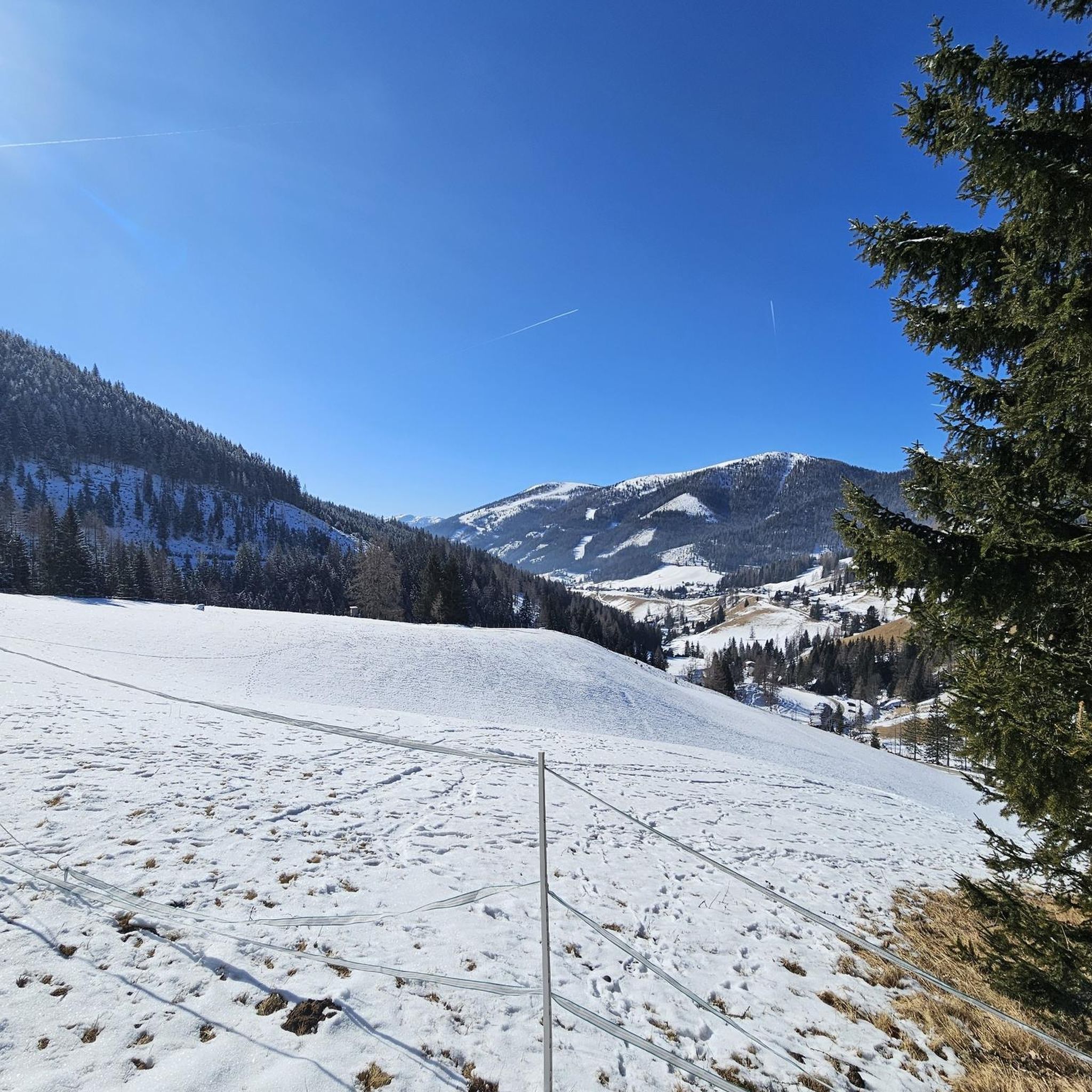
Gravel biking around Bilsdale Midcable
Other adventures around Bilsdale Midcable


Tips from the Community

Reopened in 2007 after it was badly damaged when freak weather caused the River Rye to burst its banks on June 19, 2005. Shaken Bridge Weir is downstream, south of the bridge, and the River Rye meanders with a few different channels just upstream to the north.
0
0
Just off the Cleveland Way and about halfway between Carr Ridge to the west and Bloworth Crossing to the east, spectacular views all around on a clear day.
1
0


That is the Cammon Stone. It dates from the late Neolithic period.
0
0

Note that the Abbey itself is English Heritage and has both cafe and toilets available accessible without paying admission/requiring membership. The only downside is that to get there from Rievaulx Terrace it is down a steep hill.
0
0

Distance 0.9 miles (from the warning sign at the bottom to the sign at the top). Max Gradient 33%. The bottom part of the climb is gentler but soon it ramps up towards the first, right hand, hairpin; you are then faced almost immediately with a left hand hairpin, the next bit of the climb goes straight up like a wall and is the steepest section - then the climb eases off for the last section.
1
0

Clay Bank Car Park sits just below the top B1257 road. It is a great place to start walks on the moors to the east or the Cleveland Hills to the west. There is also fantastic views from this place.
0
0

Some pretty English front gardens on a bridge that is - compared to the width of the streets - oversized. It's pleasing and fits in well with the landscape.
0
0
Frequently Asked Questions
How many mountain bike trails are available in Bilsdale Midcable?
Bilsdale Midcable offers a wide selection of mountain bike trails, with over 80 routes to explore. These range from moderate paths to more advanced challenges, catering to various skill levels.
What is the general difficulty level of mountain biking in Bilsdale Midcable?
The majority of mountain bike trails in Bilsdale Midcable are rated as moderate, making them suitable for riders with some experience. There are also 12 easy routes for beginners and 9 difficult trails for more advanced mountain bikers seeking a challenge.
Are there any family-friendly mountain bike routes in Bilsdale Midcable?
Yes, Bilsdale Midcable features 12 easy mountain bike routes that are generally suitable for families or those new to the sport. These trails typically have less elevation gain and cover shorter distances, offering a gentler introduction to the area's scenic beauty.
Where can I find parking for mountain biking trails in Bilsdale Midcable?
Many routes in Bilsdale Midcable, such as the Bow Bridge over the River Rye – Rievaulx Abbey loop and the Barnclose Farm Grassy Hill – Shaken Bridge Weir loop, start from Newgate Bank Car Park, which is a common access point for the trails. Other routes may have parking available at specific trailheads or nearby villages.
What is the typical length and duration of mountain bike trails in this region?
Trail lengths vary, but many popular routes are between 15 to 30 miles (24 to 48 km). For example, the Clay Bank Summit Viewpoint – Cock Rock loop is 17.1 miles (27.6 km) and takes about 2 hours 42 minutes, while the View of the North York Moors – View from Clay Bank loop is 35.6 miles (57.3 km) and typically takes around 3 hours 20 minutes.
Are there any circular mountain bike routes in Bilsdale Midcable?
Yes, many of the mountain bike trails in Bilsdale Midcable are designed as circular routes, allowing you to start and finish at the same point. Examples include the Bow Bridge over the River Rye – Rievaulx Abbey loop and the Barnclose Farm Grassy Hill – Shaken Bridge Weir loop, both starting from Newgate Bank Car Park.
What kind of views or landmarks can I expect along the mountain bike routes?
The trails offer expansive vistas of rolling hills, river valleys, and open moorland, typical of the North York Moors. You might encounter historical sites like Rievaulx Abbey, or natural features such as Roseberry Topping Summit and The Wainstones. Several routes also pass by reservoirs like Cod Beck Reservoir.
What is the best time of year for mountain biking in Bilsdale Midcable?
The spring and summer months generally offer the most pleasant conditions for mountain biking in Bilsdale Midcable, with drier trails and warmer weather. Autumn can also be beautiful with changing foliage, though trails may be wetter. Winter riding is possible but can be challenging due to colder temperatures, potential ice, and muddy conditions on some tracks.
What do other mountain bikers enjoy most about the trails in Bilsdale Midcable?
The area is highly rated by the komoot community, with an average score of 4.3 stars from over 100 reviews. Riders often praise the varied terrain, the challenging climbs with rewarding panoramic views, and the combination of riverside paths and historical landmarks found along routes like the Bow Bridge over the River Rye – Rievaulx Abbey loop.
Are there any particularly long mountain bike routes for endurance riders?
For endurance riders, the Farndale Railway Gravel Track – View of Farndale loop from Battersby is a notable option. This route spans 51.4 miles (82.7 km) and typically takes around 4 hours 27 minutes to complete, offering a significant challenge through varied landscapes.
Are there any specific viewpoints worth seeking out on the trails?
Many trails offer excellent viewpoints across the North York Moors. The Clay Bank Summit Viewpoint – Cock Rock loop provides panoramic views from the summit. Additionally, the View of the North York Moors – View from Clay Bank loop is specifically designed to highlight scenic vistas.
Most popular routes around Bilsdale Midcable
Most popular attractions around Bilsdale Midcable

Get inspired with the komoot mobile app


Explore more
Browse the best MTB trails in other regions.
