The best walks and hikes around Dacre
4.5
(1792)
15,825
hikers
18
hikes
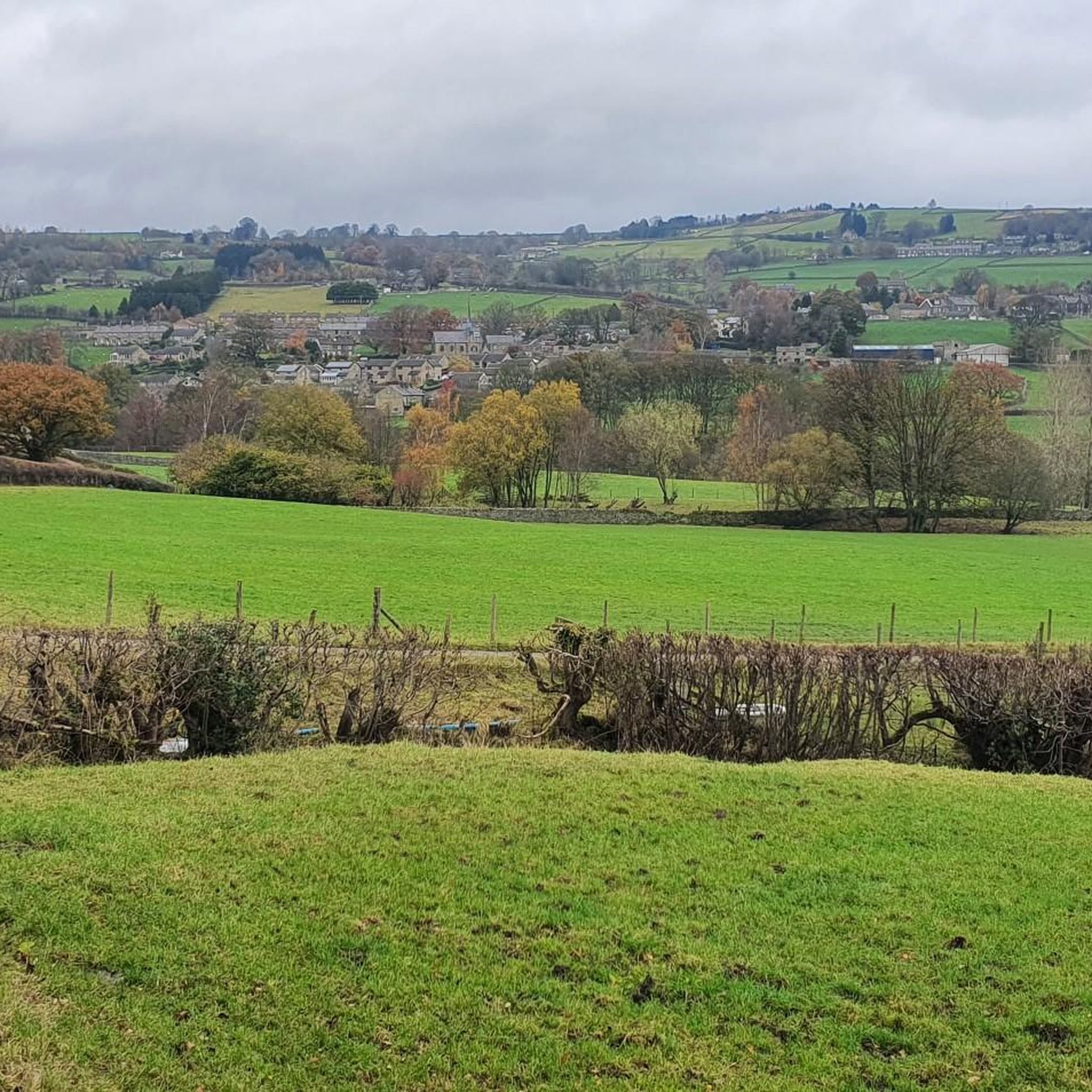
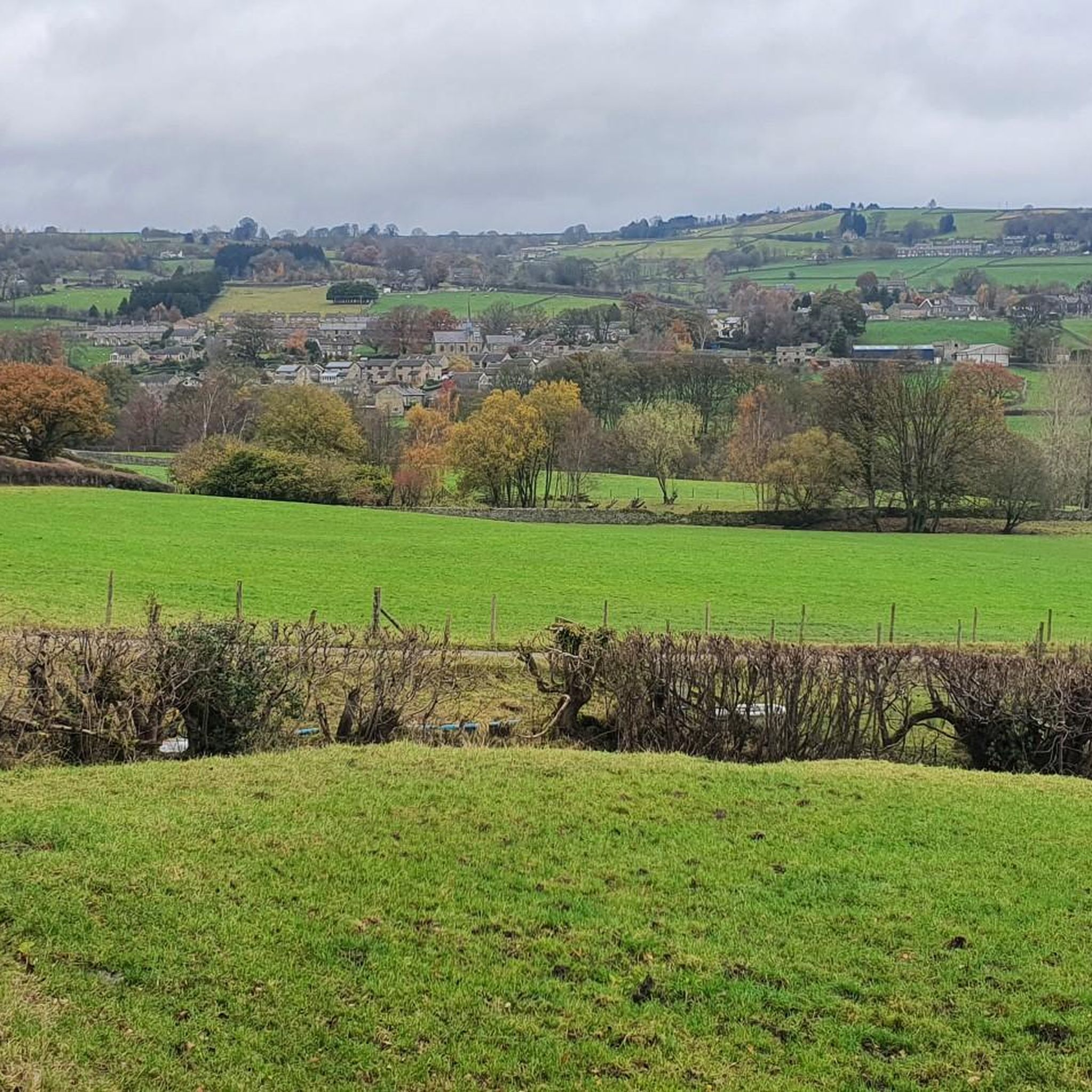
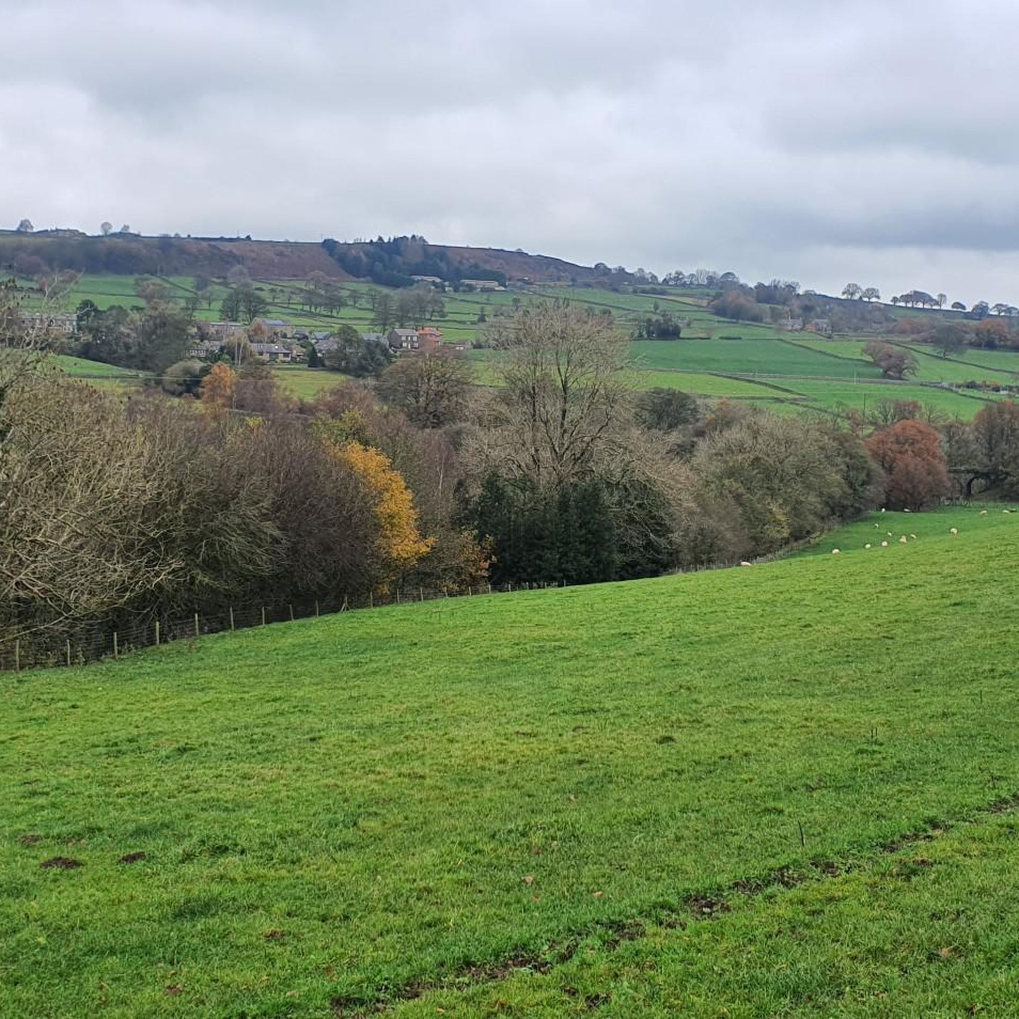
Hikes around Dacre explore the countryside of North Yorkshire, within the Nidderdale Area of Outstanding Natural Beauty. The region is characterized by rolling farmland, the winding River Nidd, and historic dry stone walls. The landscape offers a mix of pleasant woodlands and gentle hills with views across Lower Nidderdale.
Best hiking trails around Dacre
- The most popular hiking route is Yorke's Folly – Pateley Bridge — Market Town loop from Dacre, a 12.9 mile (20.8 km) trail that takes about 6 hours to complete. This is a long distance walk that features significant elevation gain and varied terrain.
- Another top favourite among local hiking enthusiasts is Yorke's Folly – Guise Cliff Viewpoint loop from Summerbridge, a moderate 7.6 mile (12.3 km) path. The route includes ascents to viewpoints like Guise Cliff.
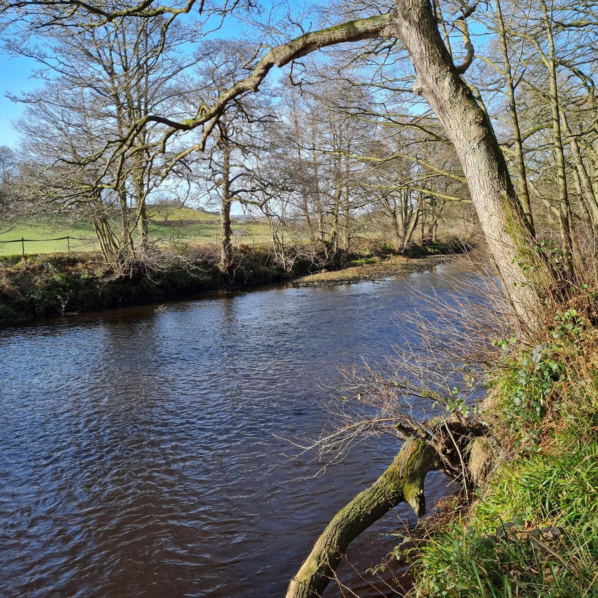
- Local hiking enthusiasts also love the Darley Stepping Stones loop from Summerbridge, a 4.2 mile (6.8 km) trail leading through the River Nidd valley, often completed in about 1 hour 45 minutes.
- Hiking around Dacre is defined by rolling farmland, riverside paths along the River Nidd, and gentle hills. The network of trails provides options for different ability levels, from easy family walks to more demanding Dacre circular walks.
- The routes in Dacre are highly rated by the komoot community with an average score of 4.5 stars from over 1,200 reviews. More than 11,000 hikers have used komoot to explore Dacre's varied terrain.
Last updated: November 1, 2026
4.7
(18)
246
hikers
14.0km
03:54
260m
260m
Moderate hike. Good fitness required. Easily walkable paths.
4.4
(14)
52
hikers
20.7km
05:58
530m
530m
Hard hike. Very good fitness required. Easily walkable paths.

4.0
(3)
18
hikers
8.94km
02:28
160m
160m
Moderate hike. Good fitness required. Easily walkable paths.
5.0
(2)
19
hikers
6.78km
01:47
60m
60m
Easy hike. Easily walkable paths.
10
hikers
3.93km
01:01
20m
20m
Easy hike. Easily walkable paths.
Get access to more routes and recommendations from other explorers.
Already have an account?
Our route recommendations are based on thousands of hikes, rides, and runs completed by other people on komoot.
Start today with a free account
Your next adventure awaits.

Tips from the Community

Small picturesque ford at Fell Beck with a weir slightly upstream. The weir can be difficult to spot in spring due to dense vegetation, but you can't fail to hear it.
1
0
The folly, also known as "Two Stoops" or "The Stoops," is a Grade II listed structure with a distinct, L-shaped design that evokes the ruins of a church, perhaps an east window or a crossing. Situated at the top of Nought Bank, there are expansive views of Pateley Bridge, the surrounding dale, and the Nidderdale countryside. Commissioning a folly to provide employment during a recession was a relatively common practice in the Victorian era.
1
0
Quintessentially pretty market town, arrive early to find suitable parking, best place is next to the showground on the southern side of the bridge over the River Nidd. Honesty box only (no payment cards), cheap at £1 up to 4 hours and £2 all day (spring 2025 prices). The southern end of Nidderdale around Pateley Bridge has one of the densest concentrations of public footpaths in North Yorkshire, so loads of routeing options. See the North Yorks public rights of way map at https://maps.northyorks.gov.uk/connect/analyst/mobile/#/main?mapcfg=Out_and_About
1
0
Great views both up and downstream, with parking on both sides of the bridge. The car park on the southern side, next to the cricket pitch and showground, is quite big and now relies on an honesty box for payment.
1
0
Old Spring Wood boasts a variety of plants, including ancient woodland species, numerous springs, and is located on a large slope with terraces formed by magnesian limestone. Very peaceful spot off the beaten track and away from the hustle and bustle of Brimham Rocks.
1
0
Great views of the moorland to the north, and fairly easy tracks traverse this area on the route around Thruscross Reservoir.
1
0
Imposing and deserted building overlooking the northern end of Thruscross Reservoir. Recorded by the Yorkshire Vernacular Buildings Group in 1976: "The 1841 census return shows it to have been occupied by a young unmarried woman called Ann Young farming over 200 acres; a family with the same surname contemporaneously occupied Whit Moor Farm with a similar acreage."
1
0
Undoubtedly the most scenic of the Washburn reservoirs with the moorland backdrop to the north. The circular route around the reservoir from the car park is about 5 miles, the track on the southwestern side runs along the edge of plantations and offers some shade from the sun and shelter from the elements. The track on the northeastern side is more exposed, and if you do the whole circuit you will cross over Far Comb Hill and the plantation along the edge of the reservoir at Whit Moor - a great route.
0
0
Frequently Asked Questions
Are there many circular walks available around Dacre?
Yes, the area around Dacre is well-suited for circular walks. Many trails are designed as loops, taking you through the varied landscapes of the Nidderdale Area of Outstanding Natural Beauty and returning you to your starting point. A great example is the Darley Stepping Stones – New York Lane loop from Summerbridge, which offers a moderate exploration of the countryside.
What are the trails like for hiking with dogs?
Most trails in the countryside around Dacre are suitable for dogs, but be aware that you will be walking through rolling farmland. It's essential to keep dogs on a lead, especially near livestock. The paths along the River Nidd and through local woodlands offer excellent walking opportunities for you and your canine companion.
Can I find any easy, family-friendly walks near Dacre?
Certainly. The region offers several gentle walks perfect for a family outing. These routes typically feature less elevation and shorter distances. For a pleasant and accessible walk, consider the Low Hall Wood loop from Summerbridge, which is a relatively flat and short trail ideal for little legs.
Are there any challenging, long-distance hikes in the area?
Yes, for hikers seeking a more strenuous challenge, there are longer routes with significant elevation gain. These trails reward you with expansive views across Lower Nidderdale. A notable difficult route is the Yorke's Folly – Pateley Bridge — Market Town loop from Dacre, which is a demanding trek of over 20 km.
What kind of scenery can I expect when hiking around Dacre?
The landscape is classic North Yorkshire countryside within the Nidderdale Area of Outstanding Natural Beauty. Expect to see rolling farmland partitioned by historic dry stone walls, peaceful woodlands, and scenic paths along the winding River Nidd. For excellent views, the Yorke's Folly – Guise Cliff Viewpoint loop from Summerbridge takes you to rewarding vantage points.
Where is the best place to park for a hike?
Parking is generally available in the villages that serve as trailheads, such as Dacre, Summerbridge, and Pateley Bridge. You'll find a mix of on-street parking and designated car parks. It's always a good idea to arrive early, especially on weekends, to secure a spot before starting your walk.
Are there any walks that include a pub stop?
Many walking routes in the Dacre area are planned to start, finish, or pass near traditional village pubs. The Wellington Inn in Dacre is a common landmark. Planning your route to include a stop at a pub in Dacre, Darley, or Pateley Bridge is a popular way to round off a day's hike.
What do other hikers think of the trails around Dacre?
The hiking routes around Dacre are highly regarded by the komoot community, with thousands of visitors exploring the area. Fellow hikers often praise the well-maintained paths, the classic Yorkshire Dales scenery, and the mix of riverside, woodland, and farmland trails.
Are there any hikes with waterfalls in the Dacre area?
While the primary features of the Dacre landscape are its rolling hills and the River Nidd, the area is not particularly known for dramatic waterfalls. The walks focus more on the beauty of the river valley and the surrounding pastoral scenery rather than cascades.
What is a good walk for experiencing the River Nidd?
The River Nidd is a central feature of many local hikes. For a walk that specifically highlights the river, the Darley Stepping Stones loop from Summerbridge is an excellent choice, offering lovely riverside sections and the fun feature of the stepping stones themselves.
How many hiking trails are there to choose from around Dacre?
There are over 15 curated hiking routes available to explore around Dacre. These range from short, easy strolls to difficult all-day treks, ensuring there is a suitable option for nearly every fitness level and time commitment.
Most popular routes around Dacre
Most popular attractions around Dacre

Get inspired with the komoot mobile app


Explore more
Browse the best Hikes in other regions.
