The best road cycling routes around Fountains Earth
4.2
(24)
1,239
riders
67
rides
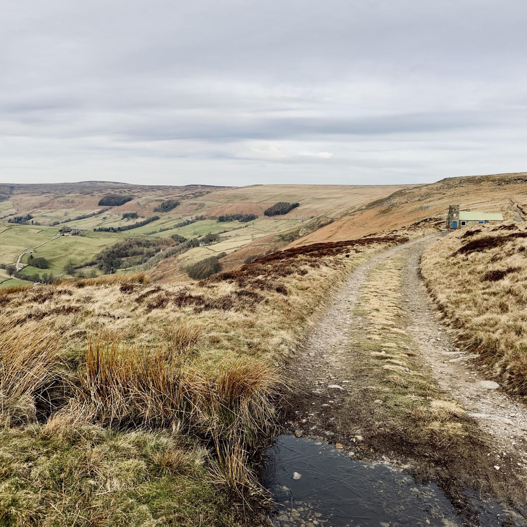
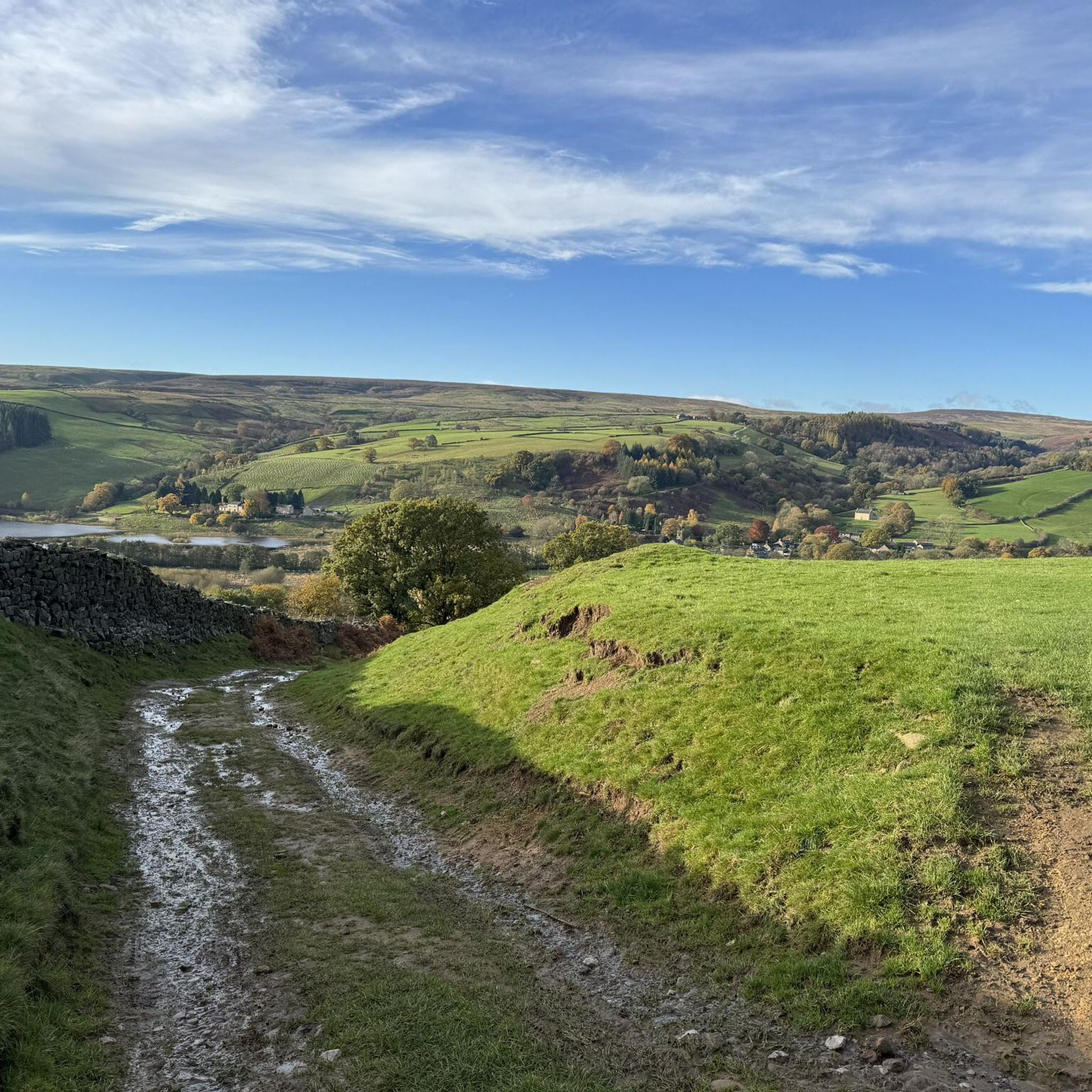
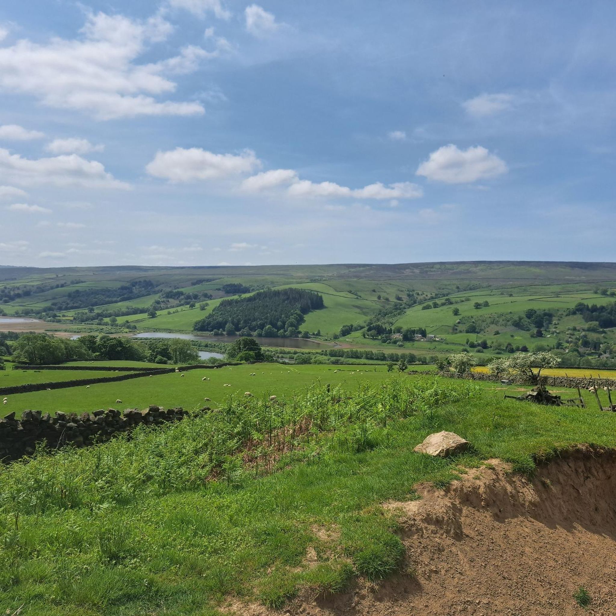
Road cycling routes around Fountains Earth are situated within upper Nidderdale, an Area of Outstanding Natural Beauty characterized by river valleys, reservoirs, and expansive moorland. The terrain features varied landscapes, from tranquil waterscapes along the River Nidd and Gouthwaite Reservoir to challenging ascents onto the surrounding grouse moors. This region offers diverse road cycling experiences, benefiting from its proximity to the historic Fountains Abbey & Studley Royal World Heritage Site.
Best road cycling routes around Fountains Earth
- The most popular…
Last updated: August 20, 2026
76
riders
84.7km
04:39
1,450m
1,450m
Hard road ride. Very good fitness required. Mostly well-paved surfaces and easy to ride.
5.0
(5)
62
riders
42.1km
02:08
620m
610m
Moderate road ride. Good fitness required. Mostly well-paved surfaces and easy to ride.

Sign up for free
5.0
(5)
59
riders
Moderate road ride. Good fitness required. Some segments of this route may be unpaved and difficult to ride.
23
riders
61.5km
03:13
980m
980m
Hard road ride. Very good fitness required. Mostly well-paved surfaces and easy to ride.
5.0
(1)
16
riders
34.1km
01:39
470m
470m
Moderate road ride. Good fitness required. Mostly well-paved surfaces and easy to ride.
Get access to more routes and recommendations from other explorers.
Sign up for free
Already have an account?
Our route recommendations are based on thousands of hikes, rides, and runs completed by other people on komoot.
Start today with a free account
Your next adventure awaits.
Login or Signup

Tips from the Community

Tough sustained climb with a very steep section.
0
0

The southern end of the Ilkley Old Bridge is highly famous as the official starting point of the Dales Way.
0
0

Brutal. Go around the wrong side of the road and plead forgiveness to the motorists (good luck with that). Take care coming down. With lots of gravel on the road
0
0


pace yourself !!!
0
0


Gears 34 x 34 . Keep to outside of bend. Pace yourself
0
0

Quintessentially pretty market town, arrive early to find suitable parking, best place is next to the showground on the southern side of the bridge over the River Nidd. Honesty box only (no payment cards), cheap at £1 up to 4 hours and £2 all day (spring 2025 prices). The southern end of Nidderdale around Pateley Bridge has one of the densest concentrations of public footpaths in North Yorkshire, so loads of routeing options. See the North Yorks public rights of way map at https://maps.northyorks.gov.uk/connect/analyst/mobile/#/main?mapcfg=Out_and_About
1
0
Frequently Asked Questions
What kind of terrain can I expect when road cycling around Fountains Earth?
Road cycling around Fountains Earth offers a diverse range of terrain. You'll find tranquil waterscapes along the River Nidd and Gouthwaite Reservoir, as well as challenging ascents onto the surrounding grouse moors. The region, part of upper Nidderdale, is characterized by river valleys, reservoirs, and expansive moorland, providing varied landscapes for your ride.
Are there road cycling routes for different skill levels in Fountains Earth?
Yes, Fountains Earth caters to various skill levels. The area offers a good mix of easy, moderate, and difficult routes. For example, you can find moderate paths like Pateley Bridge – Scar House Reservoir and Dam loop from Lofthouse, or more challenging rides such as the Nidderdale hilly loop from Pateley Bridge, which features significant elevation gain.
What scenic landmarks or attractions can I see while road cycling in Fountains Earth?
While cycling around Fountains Earth, you can encounter several notable landmarks and natural features. The region is close to the historic Fountains Abbey & Studley Royal World Heritage Site. You might also pass by natural monuments like Brimham Rocks, or enjoy views from Great Whernside Summit. The routes often feature picturesque reservoir landscapes, such as those seen on the Gouthwaite Reservoir – Scar House Reservoir and Dam loop from Pateley Bridge.
What do other road cyclists enjoy the most about road cycling in Fountains Earth?
The road cycling routes in Fountains Earth are highly rated by the komoot community, with an average score of 4.2 stars from over 20 reviews. Cyclists often praise the varied terrain, from tranquil reservoir paths to challenging moorland ascents, and the stunning natural beauty of upper Nidderdale. Over 1,300 road cyclists have used komoot to explore the area, highlighting its popularity.
Are there any family-friendly road cycling routes in Fountains Earth?
While specific 'family-friendly' routes are not explicitly detailed in the guide, the presence of moderate difficulty routes suggests options suitable for families with some cycling experience. The scenic reservoir loops, such as the Gouthwaite Reservoir – Scar House Reservoir and Dam loop from Pateley Bridge, might offer a more relaxed experience compared to the hilly moorland routes.
Can I find circular road cycling routes in Fountains Earth?
Yes, many of the road cycling routes around Fountains Earth are designed as loops, offering convenient circular journeys. Examples include the challenging Nidderdale hilly loop from Pateley Bridge and the moderate Pateley Bridge – Scar House Reservoir and Dam loop from Lofthouse, allowing you to start and finish in the same location.
What is the best time of year for road cycling in Fountains Earth?
The region's character, with its open moorland and river valleys, suggests that spring through autumn would generally offer the most pleasant conditions for road cycling. During these seasons, you can expect more favorable weather for enjoying the scenic landscapes and varied terrain of Nidderdale.
Are there any cafes or pubs along the road cycling routes in Fountains Earth?
While the guide doesn't list specific cafes or pubs directly on every route, the presence of nearby towns like Pateley Bridge, which is a common starting point for many routes, suggests opportunities for refreshments. For example, the Pateley Bridge – Ripley Ice Cream Parlour loop from Pateley Bridge indicates that routes can incorporate stops for food and drink.
How many road cycling routes are available around Fountains Earth?
There are over 60 road cycling routes available around Fountains Earth on komoot, offering a wide selection for cyclists. These routes vary in difficulty, with options for easy, moderate, and difficult rides, ensuring there's something for every preference.
Is public transport available for cyclists accessing routes in Fountains Earth?
The guide does not explicitly detail public transport options for cyclists in Fountains Earth. Given its rural setting within upper Nidderdale, it's advisable to research local bus services or consider driving to a starting point with parking facilities, such as Pateley Bridge, which is a common hub for many routes.
Where can I find parking for road cycling in Fountains Earth?
While specific parking locations aren't listed for Fountains Earth itself, many of the featured routes, such as those starting from Pateley Bridge, imply that parking is available in or around these larger towns. It's recommended to check parking availability in starting locations like Pateley Bridge before your ride.
Are there any particularly challenging road cycling routes in the Fountains Earth area?
Yes, for experienced road cyclists seeking a challenge, routes like the Nidderdale hilly loop from Pateley Bridge are classified as difficult. This route covers 52.6 miles (84.7 km) and includes significant elevation gain of over 1,400 meters, offering a demanding yet rewarding experience through the scenic Nidderdale.
Most popular routes around Fountains Earth
Most popular attractions around Fountains Earth

Get inspired with the komoot mobile app


Explore more
Browse the best Road cycling routes in other regions.
