The best walks and hikes around Darley And Menwith
4.4
(1509)
12,908
hikers
351
hikes
Hiking around Darley And Menwith, located within the Nidderdale National Landscape, features diverse terrain including waterside views, woodlands, and expansive Dales scenery. The area is characterized by several reservoirs such as Fewston, Swinsty, and Thruscross, alongside rivers like the Wharfe. Elevation changes vary from gentle paths along water bodies to more challenging ascents within the Dales.
Best hiking trails around Darley And Menwith
- The most popular hiking route is Fewston and Swinsty Reservoirs Trail, a 6.8 miles (10.9 km) trail that takes 2 hours 50 minutes to complete, offering waterside views and woodland exploration.
- Another top favourite among local hikers is Thruscross Reservoir and Cloggers Lane loop from Thruscross Reservoir Car Park, an easy 4.7 miles (7.5 km) path that circles the reservoir with minimal elevation gain.
- Local hikers also love the Simon's Seat and Rocking Hall loop from Thruscross Reservoir Car Park — Nidderdale, a 13.3 miles (21.4 km) trail leading through varied Dales scenery and offering significant elevation, often completed in about 5 hours 50 minutes.
- Hiking around Darley And Menwith is defined by reservoir paths, riverside trails, and open Dales landscapes. The network offers options for different ability levels, from easy loops to more challenging routes with notable ascents.
- The routes in Darley And Menwith are highly rated by the komoot community with an average score of 4.4 stars from over 1,300 reviews. More than 12,000 hikers have used komoot to explore Darley And Menwith's varied terrain.
Last updated: July 7, 2026
4.8
(93)
804
hikers
10.9km
02:51
80m
80m
Embark on a moderate hike around the tranquil waters of Fewston and Swinsty Reservoirs, a 6.8-mile (10.9 km) route that offers continuous waterside views. You will gain 247 feet (75 metres) in elevation over approximately 2 hours and 50 minutes, making it an accessible yet rewarding outing. The well-maintained paths wind through picturesque woodlands, providing a refreshing natural atmosphere. As you hike, you will pass the impressive Fewston Reservoir Dam and Overflow, a striking feature where water gracefully cascades between the two reservoirs. This circular trail immerses you in the serene beauty of the Nidderdale National Landscape.
Planning your visit to the Fewston and Swinsty Reservoirs is straightforward, as the route is known for its excellent accessibility. The paths are well-maintained, making it a suitable hiking destination for families and individuals alike. You will find numerous picnic areas and benches strategically placed along the trail, offering convenient spots to rest and enjoy the scenery. These amenities are ideal for a leisurely break during your hike. The entire route is managed by Yorkshire Water, which helps ensure a consistently pleasant and easy-to-navigate experience for all visitors.
This popular trail stands out for its unique setting within the scenic Nidderdale National Landscape, offering a harmonious blend of natural beauty and managed accessibility. The close proximity of the path to the water's edge throughout the entire loop provides a constant connection to the reservoir environment. It is a prime example of how well-maintained infrastructure can enhance the enjoyment of a natural area, making it a cherished local gem for outdoor enthusiasts.
4.6
(24)
204
hikers
Embark on the Thruscross Reservoir and Cloggers Lane loop, an easy hike that takes you around the tranquil waters of Thruscross Reservoir. This circular route spans 4.7 miles (7.5 km) and involves a gentle elevation gain of 220 feet (67 metres), making it a rewarding outdoor experience you can complete in about 1 hour and 59 minutes. You will discover varied landscapes, from peaceful woodland and open moorland to crags, streams, and sections alongside the River Washburn.
When planning your visit, be aware that while the trail is easy, the terrain can be rugged and varied, including rough pastures, rocky sections, and potentially muddy banks with tree roots. Sturdy boots are highly recommended to navigate these conditions, and the route is not suitable for prams. You will find parking available at Thruscross Reservoir Car Park, ensuring convenient access to this peaceful, remote escape.
One of the unique features of this hike is the opportunity to see the Ruins of West End Village. These historical remnants become visible when the reservoir's water levels are low, adding an intriguing layer of history to your walk through the Nidderdale Area of Outstanding Natural Beauty. This detail makes the route particularly special, offering more than just scenic views.

Sign up for free
4.6
(8)
35
hikers
Embark on a challenging yet rewarding hike through the varied landscapes of Nidderdale with the Simon's Seat and Rocking Hall loop. This difficult 13.3-mile (21.4 km) route, featuring an elevation gain of 1188 feet (362 metres), guides you through woodland paths, open moorland, and serene reservoir shores. Expect rocky tracks and steep ascents, especially on the climb to Simon's Seat, a jumble of giant gritstone boulders offering panoramic views. The entire loop typically takes around 5 hours and 53 minutes to complete. You will experience diverse scenery, from rolling moorland to gritstone outcrops and the tranquil Thruscross Reservoir.
Starting from the Thruscross Reservoir Car Park, this loop demands very good fitness and sure-footedness. Sturdy shoes are highly recommended to navigate the mixed terrain, which can be rocky and slippery when wet, and potentially boggy on the moorland sections. While some paths are well-maintained, good navigation skills are advisable as certain parts of the route may not be clearly signposted. Prepare for a demanding but ultimately fulfilling outdoor experience.
Beyond the physical challenge, the trail is rich with notable features and history. Simon's Seat, an iconic peak at 485 metres (1,591 feet), provides spectacular vistas across the dales. You will also encounter Rocking Hall, an intriguing 18th-century shooting house with a distinctive carved face, which has hosted distinguished guests like King George V. The remote Thruscross Reservoir itself holds a ghostly past, having submerged the village of West End, whose remnants can sometimes be seen when water levels are low.
4.0
(2)
13
hikers
14.5km
04:03
280m
280m
Embark on the Haxby Bridge and Fringill Dam loop, a moderate hiking route that takes you through the varied landscapes of the Nidderdale Area of Outstanding Natural Beauty. You will cover 9.0 miles (14.5 km) with an elevation gain of 906 feet (276 metres), typically taking around 4 hours and 3 minutes to complete. Expect to wander through peaceful woodland paths and open areas, enjoying expansive views towards Nidderdale, especially past the Fringill Ponds. This trail offers a rewarding experience for hikers with good fitness.
To begin your adventure, head to Low Green, which serves as a convenient starting point for this loop. The paths you will encounter are largely accessible, featuring a mix of natural trails, asphalt, and gravel sections. While considered suitable for all skill levels, a good level of fitness is recommended to comfortably enjoy the full duration of the hike. Plan your visit to allow ample time to appreciate the scenery without rushing.
As you hike, you will discover charming spots like the Hurthwaite Woodland Pond, a serene place nestled among the trees perfect for a brief pause. The route showcases the region's characteristic rolling hills and river valleys, providing a true sense of the Dales' natural beauty. This loop is a great way to immerse yourself in the diverse environment of Nidderdale, offering both tranquil woodland moments and wide-open vistas.
6
hikers
24.3km
06:42
430m
430m
Hike the difficult 15.1-mile 6 Dales Trail and Nidderdale Way Loop, gaining 1400 feet through diverse Yorkshire Dales scenery.
Get access to more routes and recommendations from other explorers.
Sign up for free
Already have an account?
Our route recommendations are based on thousands of hikes, rides, and runs completed by other people on komoot.
Start today with a free account
Your next adventure awaits.
Login or Signup

Tips from the Community

Very unusual, looks more like an older stone dwellinghouse rather than a church. More information at https://en.wikipedia.org/wiki/Providence_Chapel,_Dacre and https://historicengland.org.uk/listing/the-list/list-entry/1298747?section=official-list-entry
1
0

Undoubtedly the most scenic of the Washburn reservoirs with the moorland backdrop to the north. The circular route around the reservoir from the car park is about 5 miles, the track on the southwestern side runs along the edge of plantations and offers some shade from the sun and shelter from the elements. The track on the northeastern side is more exposed, and if you do the whole circuit you will cross over Far Comb Hill and the plantation along the edge of the reservoir at Whit Moor - a great route.
0
0
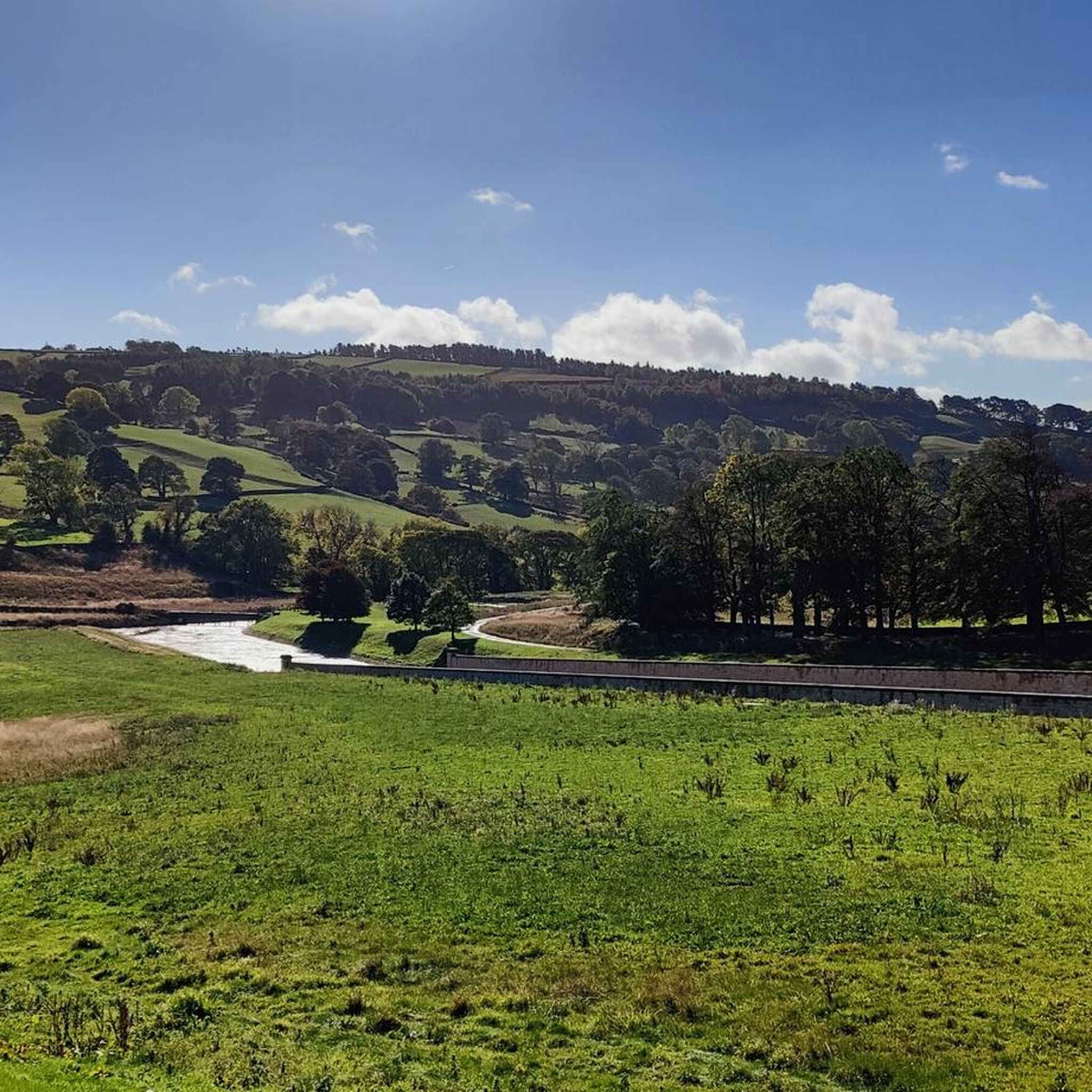
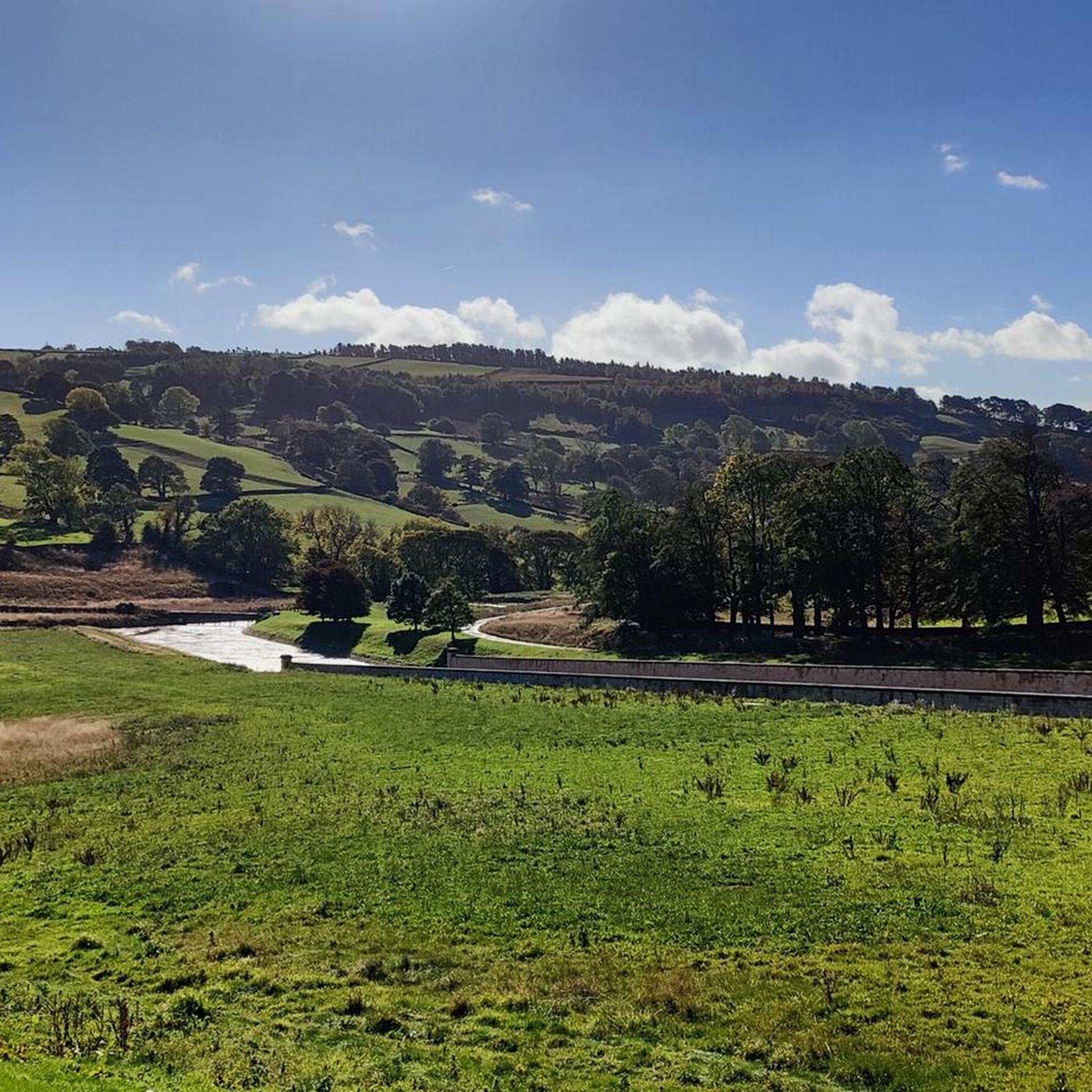
Small bridge at the southern end of the dam allows you to peer over and see the overflow for Fewston Reservoir and the sloping masonry weirs that channel overflow down into Swinsty Reservoir. Great views of both reservoirs northwest to Fewston and southeast to Swinsty.
1
0
Easy to access and walk along the water's edge, levels quite low in spring of 2025 (see photos).
1
0
The track along this part of the reservoir is very good quality and clearly well-trodden: wide and flat, and provides welcome shade when the sun is scorching.
1
0
Different experience on each side of the reservoir. The track on the west / southwestern side is shaded and slightly elevated, running along the edge of plantations, and Scot Lane on the eastern side is a bit more exposed. A full circular route of the reservoir is around 5 miles or so.
1
0
The walk from the large car park at Thruscross Reservoir dam up the west side of the reservoir to Cloggers Lane is magical and gives far better views than the tracks along Scot Lane on the eastern side. The track meanders along the edge of coniferous plantations, giving dappled shade on a sunny day and unobstructed views across the reservoir.
1
0
Frequently Asked Questions
How many hiking trails are available in Darley And Menwith?
There are over 350 hiking trails around Darley And Menwith, offering a wide range of options for different skill levels and preferences. You'll find everything from easy strolls to challenging long-distance routes.
What are the typical difficulty levels for hikes in Darley And Menwith?
The trails in Darley And Menwith cater to all abilities. You'll find over 150 easy routes, more than 180 moderate trails, and around 15 challenging hikes for experienced adventurers. This variety ensures there's a suitable path for every hiker.
Are there any family-friendly hiking routes in Darley And Menwith?
Yes, Darley And Menwith offers several family-friendly options. Many of the easy reservoir loops, such as the Thruscross Reservoir and Cloggers Lane loop, are suitable for families. These paths often feature minimal elevation gain and pleasant waterside views.
Can I bring my dog on the hiking trails in Darley And Menwith?
Many trails in Darley And Menwith are dog-friendly, especially those around the reservoirs and through woodlands. Always keep dogs under control, particularly near livestock, and check local signage for any specific restrictions, especially in nature conservation areas within the Nidderdale National Landscape.
Are there circular hiking routes available in Darley And Menwith?
Yes, Darley And Menwith is excellent for circular walks. Popular options include the Fewston and Swinsty Reservoirs Trail, which offers a scenic loop around both bodies of water, and the Thruscross Reservoir and Cloggers Lane loop.
What kind of natural features can I expect to see on hikes in Darley And Menwith?
Hikers in Darley And Menwith will encounter diverse natural beauty, including tranquil waterside views around reservoirs like Fewston, Swinsty, and Thruscross, expansive Dales scenery, and peaceful woodlands. The area is part of the Nidderdale National Landscape, known for its varied terrain.
Are there any notable landmarks or attractions to see while hiking?
Yes, the region offers several interesting landmarks. You can find dramatic rock formations at Simon's Seat, which is part of a challenging loop from Thruscross Reservoir. The area is also close to historic sites like Fountains Abbey and the unique geological formations of Brimham Rocks.
Where can I find parking for hiking trails in Darley And Menwith?
Parking is generally available at key trailheads, particularly around the popular reservoirs. For example, the Thruscross Reservoir and Cloggers Lane loop starts from a dedicated car park. It's advisable to check specific route details for parking information.
What do other hikers enjoy most about hiking in Darley And Menwith?
The area is highly rated by the komoot community, with an average score of 4.4 stars from over 1,300 reviews. Hikers often praise the tranquil waterside paths, the varied Dales scenery, and the well-maintained trails that cater to different fitness levels.
Are there any challenging long-distance hikes in the area?
For those seeking a challenge, Darley And Menwith offers more strenuous routes. The Simon's Seat and Rocking Hall loop is a difficult 21.4 km (13.3 miles) trail with significant elevation gain, providing expansive Dales views. Another option is the 6 Dales Trail and Nidderdale Way Loop, a 24.3 km (15.1 miles) route.
What is the best time of year to hike in Darley And Menwith?
Hiking in Darley And Menwith is enjoyable year-round, but spring and autumn offer particularly pleasant conditions with milder temperatures and beautiful seasonal colours. Summer provides longer daylight hours, while winter can be stunning with crisp air, though some paths may be muddy or icy.
Can I combine my hike with a visit to a pub or cafe?
Yes, many hiking routes in the wider Nidderdale area pass through or near villages with traditional pubs and cafes. While specific routes are not listed here, planning your hike to include a stop for refreshments is often possible, especially around the more populated areas or popular trailheads.
Most popular routes around Darley And Menwith
Most popular attractions around Darley And Menwith

Get inspired with the komoot mobile app


Explore more
Browse the best Hikes in other regions.
