The best running trails around Farndale West
4.3
(38)
2,619
runners
158
runs
Jogging around Farndale West offers a diverse landscape characterized by rolling hills, deep valleys, and expansive moorland. The region features a network of trails that traverse riverside paths and ascend to higher ground, providing varied terrain for runners. Its natural beauty, including the River Dove and surrounding woodlands, makes it a popular destination for outdoor activities. The area provides a range of running routes suitable for different preferences and fitness levels.
Best jogging routes around Farndale West
- The most popular…
Last updated: July 5, 2026
2
runners
Hard run. Very good fitness required. Mostly accessible paths. Some sure footedness required.
77
runners
19.6km
02:17
370m
370m
Hard run. Very good fitness required. Mostly paved surfaces. Suitable for all skill levels.

Sign up for free
42
runners
18.0km
01:58
260m
260m
Hard run. Very good fitness required. Mostly paved surfaces. Suitable for all skill levels.
27
runners
13.6km
01:40
290m
290m
Moderate run. Good fitness required. Mostly paved surfaces. Suitable for all skill levels.
34
runners
16.2km
02:09
620m
620m
Hard run. Very good fitness required. Mostly accessible paths. Some sure footedness required.
Get access to more routes and recommendations from other explorers.
Sign up for free
Already have an account?
Our route recommendations are based on thousands of hikes, rides, and runs completed by other people on komoot.
Start today with a free account
Your next adventure awaits.
Login or Signup
Tips from the Community

The Storth 206.3m P15.7 (677ft) (Hill ID: 512345) [JNSA s12310] County of Yorkshire Definitive List summit. North York Moors National Park Definitive List summit
0
0

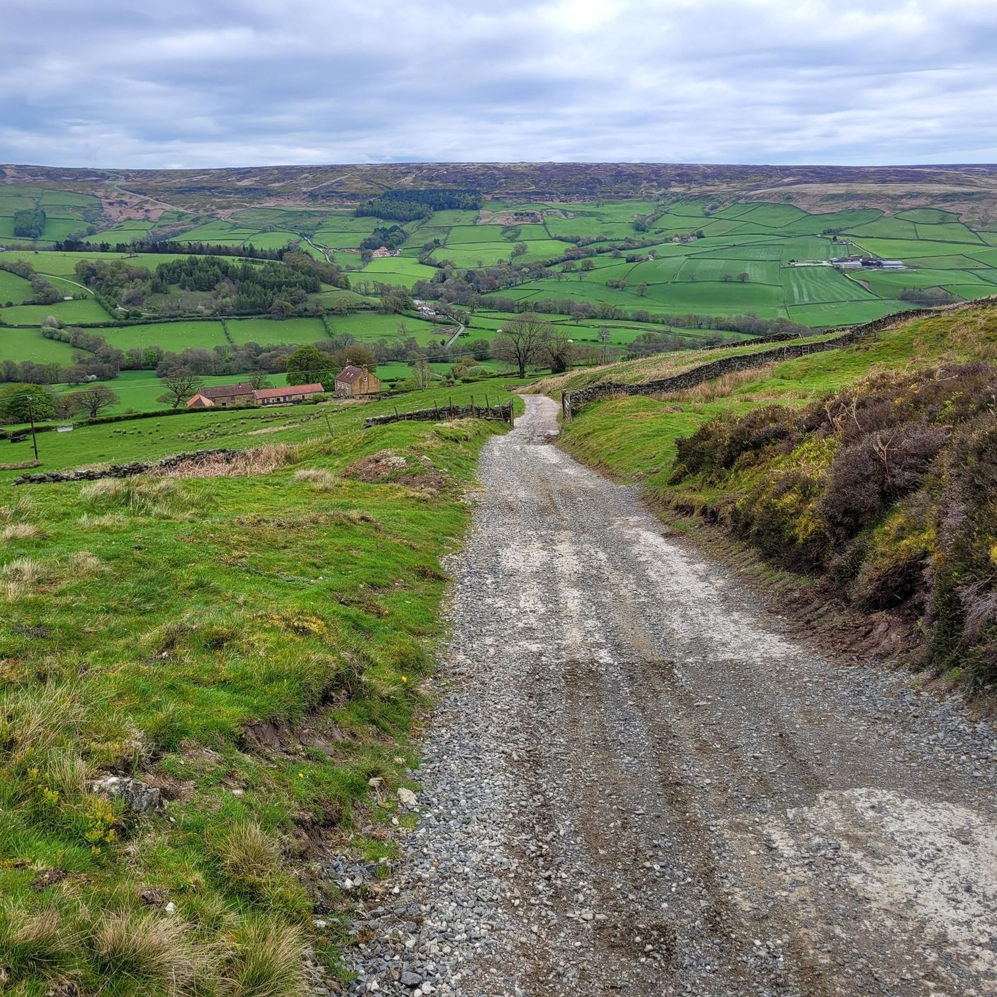
Glorious views across Rosedale from this point on the northern side of Spaunton Moor. Disused railway track provides ideal surface for hiking, running and biking, very easy going with minimal gradient.
0
0
Good quality bridleways and public footpaths run through this very airy and mature plantation, lots of large beech trees, with options to follow meandering footpaths north into Farndale, or cut northwest across Harland Moor onto Rudland Rigg.
0
0
Lovely track running to Gillamoor, but there are also lots of routes heading north to Birch Hagg Plantation and Harland Moor. Great views of the pillow mounds on the north side of The Nab.
0
0

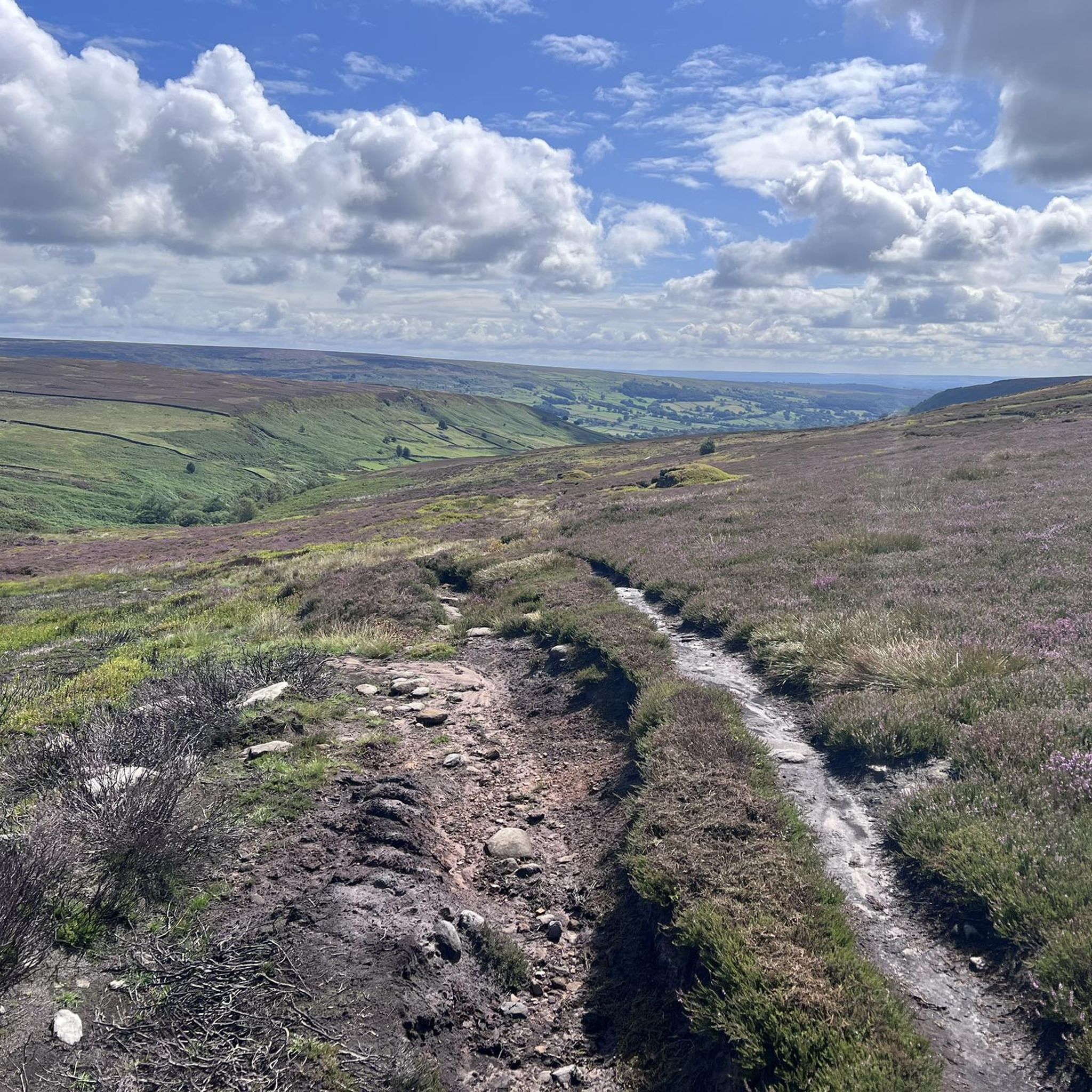
Just off the Cleveland Way and about halfway between Carr Ridge to the west and Bloworth Crossing to the east, spectacular views all around on a clear day.
1
0

Brace yourselves for an 11% climb. In places it’s 18%, so prep the small gears and get churning. Great way to finish this loop if you’ve parked in Gillamoor.
0
0

700x35 as a minimum recommended tyre size on Rudland Rigg. Watch out for swathes of sand and newly applied hard core protective surfacing when riding. An excellent well maintained surface. Can get exposed and chilly high up in Bransdale carry a gilet and arm warmers.
0
0
Frequently Asked Questions
How many running routes are available in Farndale West?
Farndale West offers a wide selection of running routes, with over 160 trails available on komoot. These range from moderate to difficult, catering to various fitness levels.
Are there easy running routes suitable for beginners in Farndale West?
Yes, Farndale West has a few easier running routes, with 5 trails specifically graded as easy. These are ideal for beginners or those looking for a less strenuous run through the scenic landscape.
What are the typical distances of running routes in Farndale West?
The running routes in Farndale West vary significantly in distance. For example, the challenging Farndale Railway and Esklets loop from Blakey Ridge is 23.3 miles (37.5 km), while other routes like the View of Farndale – Dale End Footbridge loop from Hutton-le-Hole are around 8.5 miles (13.6 km).
Can I bring my dog on the running trails in Farndale West?
Many trails in Farndale West are dog-friendly, but it's always recommended to check specific route details on komoot for any restrictions or requirements, especially when passing through livestock areas. Always keep dogs under control, particularly on moorland where ground-nesting birds are present.
Are there running routes suitable for families in Farndale West?
While many routes in Farndale West feature challenging terrain, there are some easier, shorter options that could be suitable for families. Look for routes graded as 'easy' on komoot, which typically have less elevation gain and more manageable distances.
When is the best time of year to run in Farndale West?
Spring is a particularly beautiful time to run in Farndale West, especially in April and May, when the valley is famous for its wild daffodils. However, the rolling hills and moorland offer stunning scenery year-round, with autumn providing vibrant colours. Be prepared for varied weather conditions, as the North York Moors can be exposed.
Are there any running routes with refreshment stops or cafes along the way?
Some routes, particularly those passing through or near villages like Gillamoor or Hutton-le-Hole, may offer opportunities for refreshment stops. For instance, the Daffy Caffy – Rudland Rigg loop from Gillamoor starts and ends near potential amenities. It's advisable to check local opening times in advance.
What scenic viewpoints or landmarks can I see along the running routes?
Farndale West's running routes offer numerous scenic views across the valley and moorland. You might encounter historical sites like the Bank Top Iron Kilns, or natural features such as the Carlton Bank Summit Trig Point. The View of Farndale – Dale End Footbridge loop from Hutton-le-Hole provides excellent vistas of the dale.
Are most running routes in Farndale West circular?
Many of the popular running routes in Farndale West are designed as circular loops, allowing you to start and finish at the same point. Examples include the Rosedale East Iron Kilns – Bank Top Iron Kilns loop from The Lion Inn and the Farndale Railway and Esklets loop from Blakey Ridge.
What do other runners enjoy most about the trails in Farndale West?
The running trails in Farndale West are highly rated by the komoot community, with an average score of 4.4 stars from over 30 reviews. Runners often praise the diverse landscape, including rolling hills, open moorland, and river valleys, as well as the sense of tranquility and natural beauty found on these routes.
Are there less crowded running routes in Farndale West?
While popular routes can see more activity, Farndale West's extensive network of trails means it's often possible to find quieter paths, especially on weekdays or by exploring some of the less-trafficked moderate and difficult routes. The vastness of the moorland also helps distribute runners.
What kind of terrain can I expect on the running routes?
The terrain in Farndale West is varied, characterized by rolling hills, deep valleys, and expansive moorland. You can expect a mix of riverside paths, bridleways, and sections that ascend to higher ground, often involving uneven surfaces, grassy tracks, and potentially muddy sections, especially after rain.
Most popular attractions around Farndale West

Get inspired with the komoot mobile app


Explore more
Browse the best Running Trails & Routes in other regions.
