The best running trails around Levisham
4.4
(30)
2,132
runners
156
runs
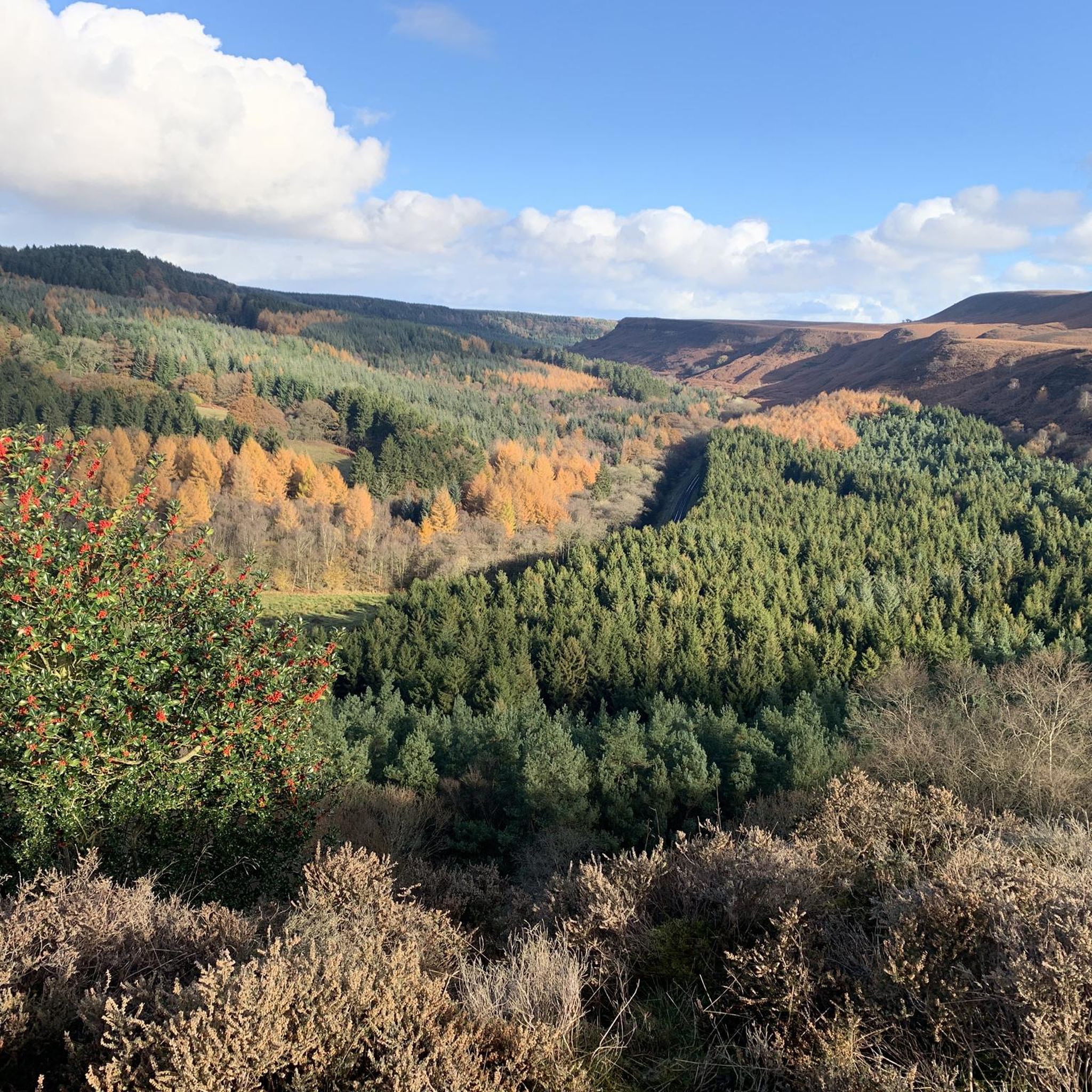
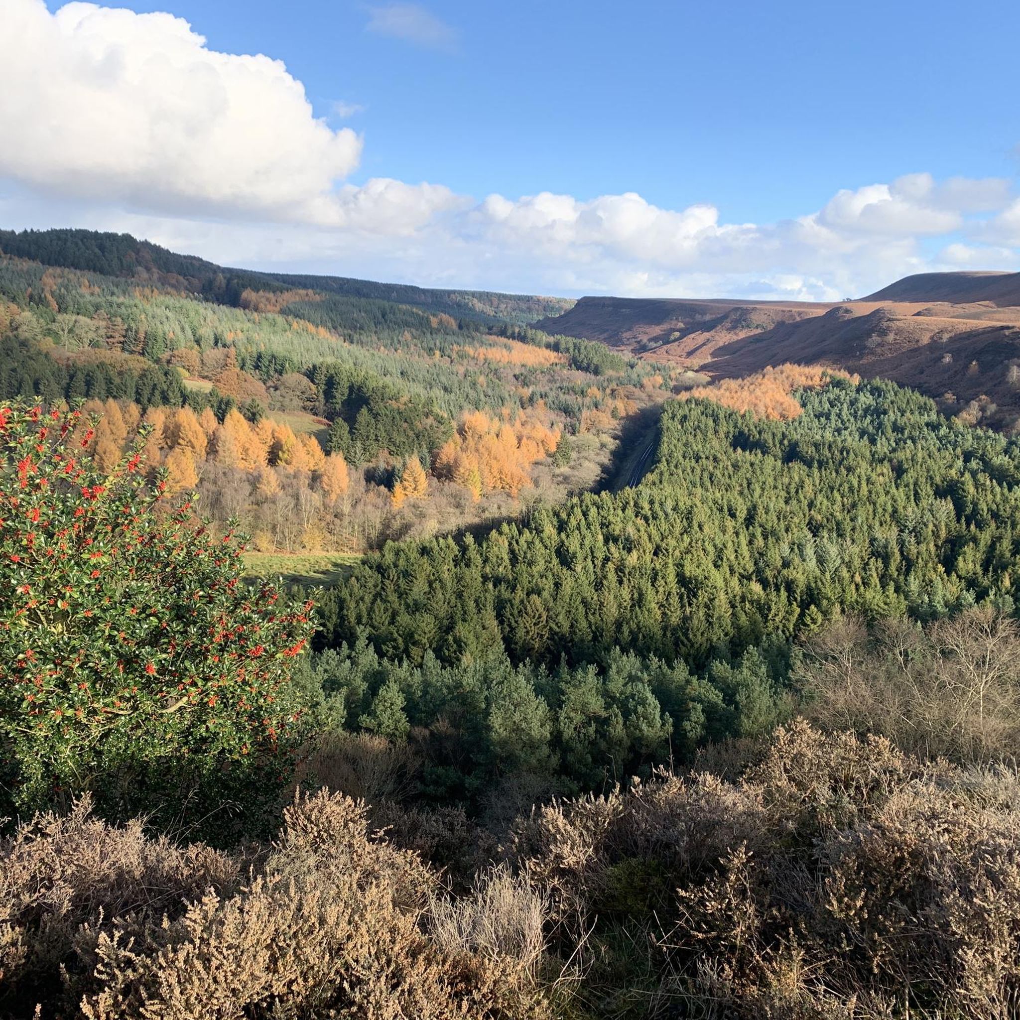
Jogging around Levisham offers a diverse landscape within the North York Moors National Park. The region is characterized by rolling hills, dense woodlands, and deep valleys, providing varied terrain for runners. Many routes feature scenic views of the Hole of Horcum, a large natural amphitheatre, and follow paths through ancient forests. The area's geography includes a mix of bridleways and trails, suitable for different running preferences.
Best jogging routes around Levisham
- The most popular jogging route is Hole of Horcum…
Last updated: September 28, 2026
11
runners
11.6km
01:27
220m
220m
Moderate run. Good fitness required. Mostly accessible paths. Some sure footedness required.
5.0
(3)
60
runners
31.0km
03:41
530m
530m
Hard run. Very good fitness required. Mostly paved surfaces. Suitable for all skill levels.

32
runners
11.1km
01:23
210m
210m
Hard run. Good fitness required. Sure-footedness, sturdy shoes and alpine experience required.
36
runners
13.6km
01:46
310m
310m
Hard run. Very good fitness required. Sure-footedness, sturdy shoes and alpine experience required.
34
runners
11.2km
01:26
250m
250m
Hard run. Good fitness required. Sure-footedness, sturdy shoes and alpine experience required.
Get access to more routes and recommendations from other explorers.
Already have an account?
Our route recommendations are based on thousands of hikes, rides, and runs completed by other people on komoot.
Start today with a free account
Your next adventure awaits.
Tips from the Community

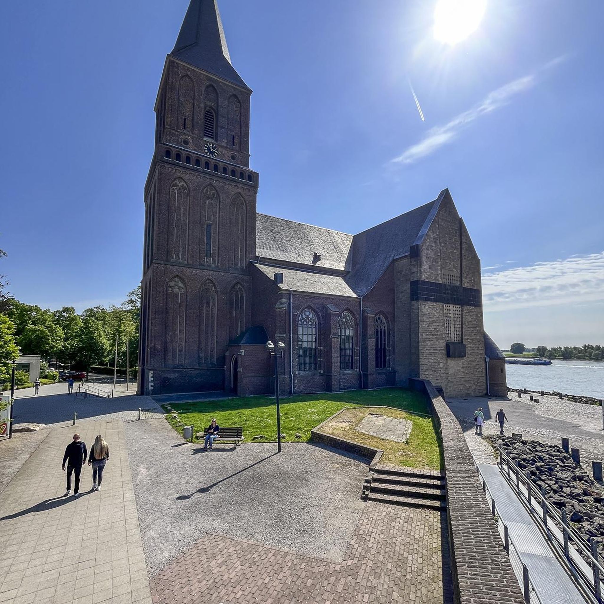
Pieces of carved stone crosses suggest that a church has stood on this site from the 10th century. At this time, it would have been at the centre of the old village of Levisham. The present building dates from the 12th century, but it's believed that the original village moved due to the Black Death in the 14th century, leaving the church isolated from the current village. Local legend suggests the devil carried building materials down into the valley every night, contributing to the church's location below the village.
0
0
Dundale Griff is a delightful narrow side valley leading down from Dundale Pond to Levisham Beck. It's an area with significant historical traces, particularly relating to medieval times, when a monastic sheep farm (bercary) was established at the head of Dundale Griff, with the foundations of the stone buildings still visible today. Dundale Pond's history is linked to industrial water supply starting in the 19th century. William Kay, who owned a silk mill requiring substantial water, supplemented his supply by drawing water from a lake at Miswell Farm and connecting it to the hollow at Dundale via a tunnel. He is believed to have constructed a dam at Dundale to create the pond. Another tunnel then carried water from Dundale Pond to the mill. Both lakes were referred to as 'balancing ponds' to maintain consistent water levels. Look out for the herd of resident Highland Cows, actively breeding and very cute small calves can be seen in early summer.
0
0
A ruined two-story structure built around 1830 by Reverend Robert Skelton, the rector of Levisham. It was initially used as a shooting lodge and possibly as a retreat for Skelton to write sermons or enjoy quiet drinks. Situated on Corn Hill Point, a grassy headland overlooking Newtondale, there are fabulous views of both Cropton Forest and the NYMR.
0
0
Rhumbard Snout is a scheduled monument, which includes the remains of a prehistoric field system, a medieval artificial rabbit warren known as a pillow mound and post-medieval mining test pits. It is located on the sloping southern tip of the wide, natural terrace which lies between the West Side Brow of Levisham Moor and Newton Dale to the west. See https://historicengland.org.uk/listing/the-list/list-entry/1020309?section=official-list-entry
0
1

Mainly easy going, very steep steps and some rocky areas to navigate. £4 parking all day in the centre of the village.
0
0
Whilst this waterfall is relatively accessible, as others point out it is a bit of a scramble, with the rocks still quite slippery and treacherous in the height of summer, as they are permanently in the shade and damp. In summer, the valley that the track to the waterfall runs through provides welcome respite from the heat of the day.
1
0
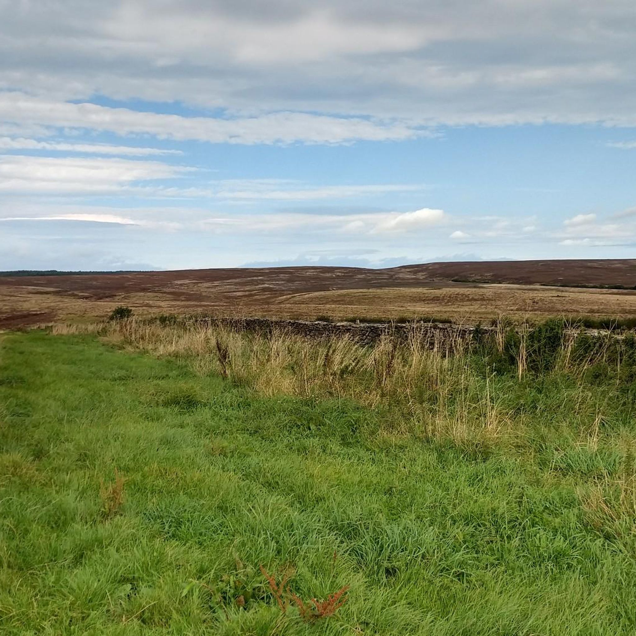
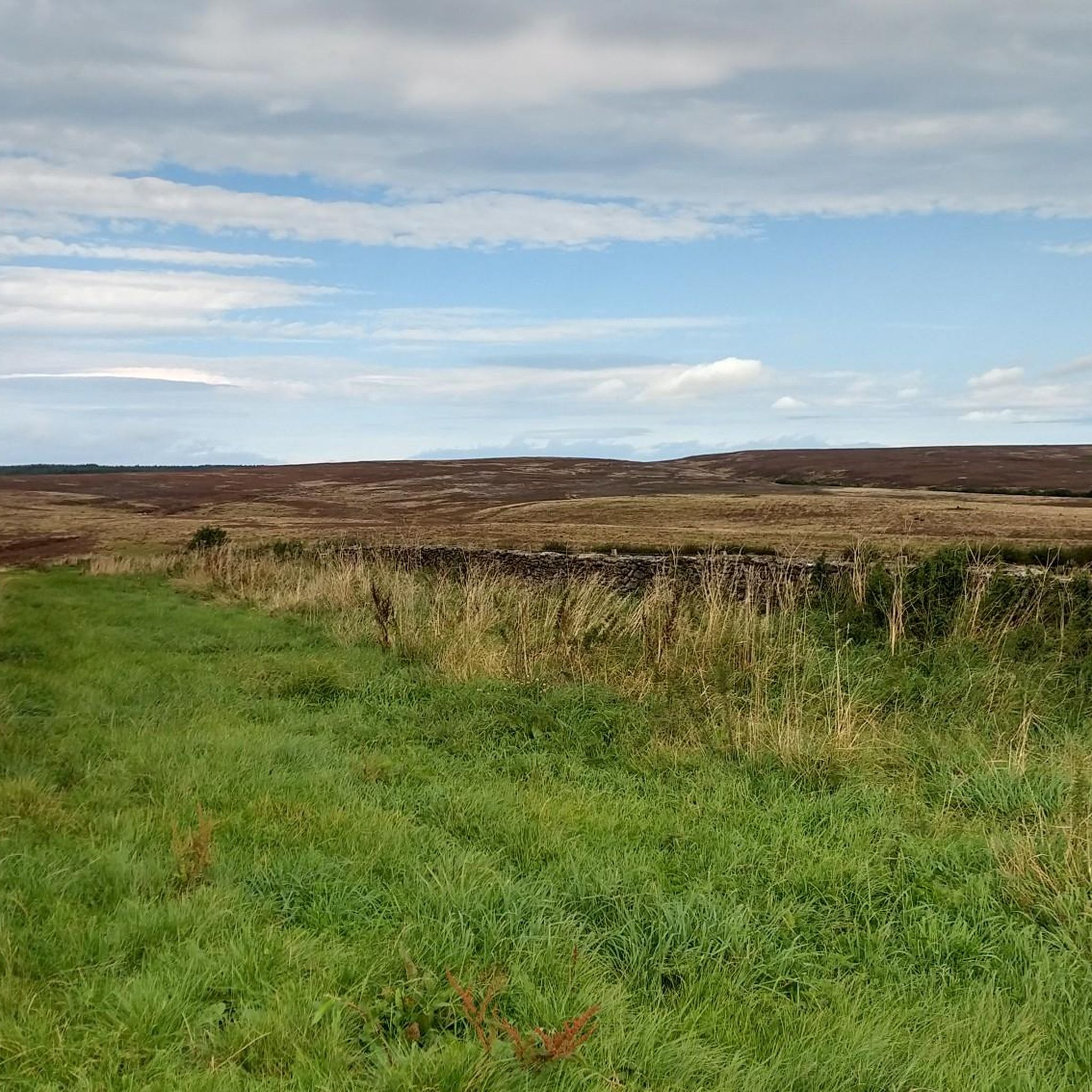
Fantastic 360 degree views and a variety of routeing options. I can't comment on the track west to Wheeldale Lodge or the bridleway south along Simon Howe Rigg to Cropton Forest, but both the bridleway north to Goathland, and the track east to Fen Bog Nature Reserve and the A169 are good quality tracks over easy terrain. The track east to Fen Bog is still quite waterlogged and boggy in some places even in July, but it is quite easy to skirt around these over the heather.
1
0
Idyllic and stunning Moors village that became prominent in the 19th Century as a spa destination, but most (older!) people will remember it as the fictional village of Aidensfield from the television drama "Heartbeat". You can still see Aidensfield Post Office, Aidensfield Stores, the old police car, and of course Scripps Funeral Services and Aidensfield Garage. A very popular destination in the spring and summer, being served by the North York Moors Railway, with easy access to nearby Moorland. Several cafes and restaurants to eat at, the fish and chips at the Inn on the Moor is excellent. https://en.wikipedia.org/wiki/Goathland https://www.northyorkmoors.org.uk/places-to-go/goathland
1
0
Frequently Asked Questions
Are there easy running routes in Levisham?
Yes, Levisham offers a selection of easier running routes. You'll find approximately 12 routes classified as easy, often featuring gentler gradients through woodlands and along bridleways, suitable for a relaxed jog. These trails still provide beautiful scenery of the North York Moors without significant climbs.
What about more challenging trail runs around Levisham?
For those seeking a challenge, Levisham has plenty to offer. There are around 56 difficult running routes, often involving significant elevation changes and longer distances. An example is the Levisham Railway Station – Mallyan Spout Waterfall loop from Levisham, which is a demanding 31 km (19.3 miles) with substantial climbs, leading to the impressive Mallyan Spout Waterfall.
How long are the running trails near Levisham?
The running trails around Levisham vary greatly in length. You can find shorter routes, but many popular options range from moderate distances of 10-15 km (6-9 miles) to longer, more challenging runs exceeding 30 km (18 miles). For instance, the Hole of Horcum loop is a popular moderate option at 11.6 km (7.2 miles).
Is there parking available for runners in Levisham?
Parking is generally available in and around Levisham village, often near trailheads or designated car parks. It's advisable to check the specific route details on komoot for information on parking facilities closest to your chosen starting point, as options can vary.
Can I reach Levisham's running trails by public transport?
Yes, Levisham is accessible by public transport. The village has a railway station, Levisham Railway Station, which is part of the North Yorkshire Moors Railway. While this is a heritage railway, local bus services also connect to nearby towns. You can start runs directly from the station, such as the Levisham Railway Station – Stream Near Hole of Horcum loop.
Are there family-friendly jogging routes in Levisham?
Levisham offers several routes suitable for families, especially those looking for an easier jog. Look for the 'easy' graded routes, which tend to be shorter and have less challenging terrain. These often pass through scenic woodlands and offer a pleasant experience for all ages, though supervision is always recommended.
Are dogs allowed on the running trails around Levisham?
Yes, dogs are generally welcome on the running trails in the North York Moors National Park, including those around Levisham. However, it's crucial to keep dogs under close control, especially near livestock, and to follow the Countryside Code. Some areas might require dogs to be on a lead, particularly during nesting seasons or in nature conservation areas.
What are the best times of year for running in Levisham?
Levisham offers excellent running conditions throughout much of the year. Spring brings vibrant wildflowers and milder temperatures, while autumn showcases stunning foliage. Summer is popular, but trails can be busy. Winter runs can be beautiful, but be prepared for potentially muddy or icy conditions, especially on higher ground or in shaded valleys.
What can I see along the jogging routes in Levisham?
Many running routes in Levisham offer spectacular sights. You'll encounter the dramatic natural amphitheatre of the Hole of Horcum, ancient woodlands like Levisham Wood, and picturesque valleys. Some routes, such as the Levisham Railway Station – Mallyan Spout Waterfall loop, lead to natural landmarks like the Mallyan Spout Waterfall. You might also spot viewpoints like Simon Howe Bronze Age Cairn offering panoramic views.
Are there circular running routes available?
Yes, many of the running routes around Levisham are circular, allowing you to start and finish in the same location without retracing your steps. This is a popular format for exploring the diverse landscapes. Examples include the Hole of Horcum loop and the Hole of Horcum Bridleway – Stream Near Hole of Horcum loop from Lockton.
What do other runners enjoy most about jogging in Levisham?
The running community highly rates the trails in Levisham, with an average score of 4.4 stars from over 27 reviews. Runners frequently praise the varied terrain, from rolling hills to dense woodlands, and the stunning views, particularly across the iconic Hole of Horcum. The well-maintained bridleways and trails also contribute to a positive experience.
Are there any hidden gem running routes in Levisham?
While popular routes like the Hole of Horcum are well-known, the extensive network of trails means there are always less-trafficked paths to discover. Exploring the numerous bridleways and forest tracks, especially those slightly off the main tourist paths, can lead to tranquil spots and unexpected viewpoints. Komoot's route planner can help you find these quieter alternatives.
Most popular attractions around Levisham

Get inspired with the komoot mobile app


Explore more
Browse the best Running Trails & Routes in other regions.
