The best road cycling routes around Pockley
4.6
(50)
1,976
riders
164
rides
Road cycling around Pockley offers access to the diverse landscapes of the North York Moors National Park. The region is characterized by elevated rolling moorland, deeply incised dales, and quiet country roads. To the south, the Howardian Hills and Vale of Pickering provide varied terrain, from rolling hills to flatter, pastoral routes. This area presents a network of roads suitable for road cyclists seeking both challenging ascents and scenic, less strenuous rides.
Best road cycling routes around Pockley
- The most…
Last updated: September 28, 2026
12
riders
93.2km
04:36
1,180m
1,180m
Hard road ride. Very good fitness required. Mostly well-paved surfaces and easy to ride.
5
riders
93.4km
04:45
1,490m
1,490m
Hard road ride. Very good fitness required. Mostly well-paved surfaces and easy to ride.

5
riders
Moderate road ride. Good fitness required. Mostly well-paved surfaces and easy to ride.
5.0
(3)
60
riders
55.2km
02:35
690m
690m
Moderate road ride. Good fitness required. Mostly well-paved surfaces and easy to ride.
4.5
(2)
22
riders
55.9km
02:29
570m
570m
Moderate road ride. Good fitness required. Mostly well-paved surfaces and easy to ride.
Get access to more routes and recommendations from other explorers.
Already have an account?
Our route recommendations are based on thousands of hikes, rides, and runs completed by other people on komoot.
Start today with a free account
Your next adventure awaits.
Tips from the Community

Byland Abbey is a ruined 12th-century monastery located in the North York Moors National Park in North Yorkshire, England, managed today by English Heritage. Once a powerhouse of the Cistercian order, it stands as one of the finest examples of early Gothic architecture in the country and famously inspired the design of the iconic Rose Window at York Minster.
0
0

I dont know much about this place but I know it makes a great picture opportunity
0
0
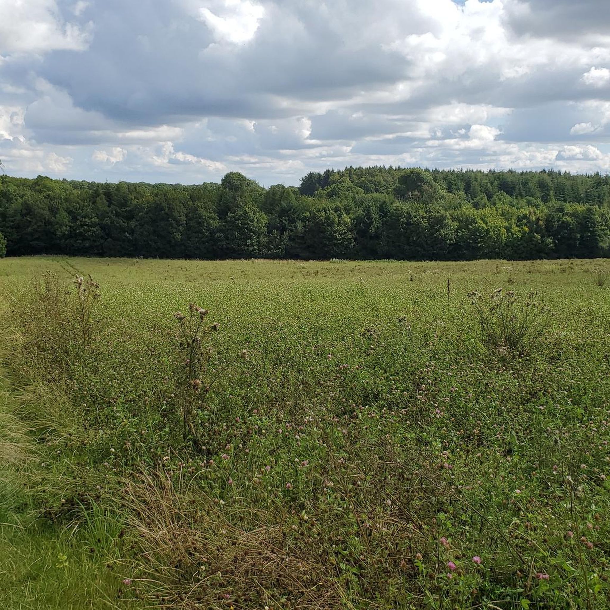
On a sunny day like today, you get hit by the smell of rapeseed. Blue sky and yellow fields 🇺🇦
0
0

Each of the sacred monuments that you repeatedly encounter – despite all the differences in their external design – has a common concern: The cross that rises here not only wants to attract the viewer's gaze, but – and this is primarily – to make him think of God. Not only in theological books, but even in secular literature, God's voice is often represented, and this is even often the case in crime novels. For example, Ellis Peters set the series of novels about the Benedictine 'Brother Cadfael', which is set in 12th-century England, in the surroundings of a monastery. In "The Virgin in the Ice" it says: "And yet life, clinging to faith, the tenacious struggle with fate had to go on, the land had to be cultivated year in, year out. Plough and harrow must not rest, and one had to take care of sowing and harvesting the fruits of the earth as much as here, in the monastery and church, of sowing and harvesting souls." I wish the viewer here in front of the cross a good thought for his soul.
0
0

Enjoy the scenery and something to eat in Easingworld
0
0

Graze on the Green cafe, excellent food
0
0


Byland Abbey is a stunning ruin dating back to the 1100s. It was once one of the grandest medieval monasteries but was dissolved by Henry VIII in the 1530s. Today it offers a scenic picnic spot and a glimpse into history. It's free to visit and features a tearoom open from March to November, serving cakes and coffee
1
0
Frequently Asked Questions
What kind of road cycling routes can I expect around Pockley?
Road cycling around Pockley offers a diverse range of experiences, primarily within the North York Moors National Park. You'll find routes traversing elevated rolling moorland, deeply incised dales like Ryedale and Farndale, and quiet country roads. To the south, the Howardian Hills provide rolling terrain, while the Vale of Pickering offers flatter, more pastoral rides. The region caters to various abilities, from challenging climbs to scenic, less strenuous options.
How many road cycling routes are available in the Pockley area?
There are over 180 road cycling routes available around Pockley on komoot. These routes range in difficulty, with approximately 40 easy, 120 moderate, and 20 difficult options, ensuring there's something for every cyclist.
Are there any challenging climbs for experienced road cyclists near Pockley?
Yes, the North York Moors are renowned for their challenging ascents. Notable climbs in the wider region include Rosedale Chimney, known for its gradients up to 30%, as well as Sutton Bank and White Horse Bank. These offer a significant test for experienced road cyclists.
What are some of the longer road cycling routes I can explore from Pockley?
For longer rides, you could consider routes like the North York Moors National Park loop from Helmsley, which covers nearly 60 miles and explores expansive moorland and valleys. Another option is the Helmsley loop to Rievaulx Abbey & the Cleveland Hills, a similar distance featuring significant climbs and historical sights.
Are there any family-friendly or easier road cycling routes around Pockley?
While the North York Moors can be challenging, the region also offers easier-going experiences. The Vale of Pickering, to the south of the Moors, provides flat, quiet lanes through a pastoral landscape, suitable for a more relaxed ride. There are approximately 40 easy road cycling routes available on komoot in the Pockley area.
What kind of scenic viewpoints or natural features can I expect to see on a road cycling trip near Pockley?
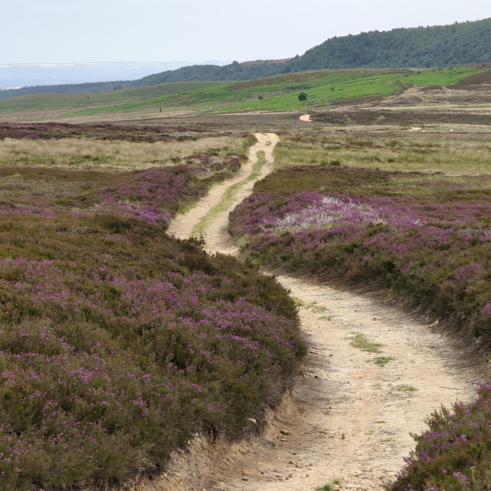
The area boasts stunning natural beauty. You'll encounter heather-clad moorland offering panoramic views, deep valleys (dales), and ancient woodlands. Highlights include Urra Moor – Highest Point of the North York Moors, and the dramatic rock formations of The Wainstones. The North York Moors National Park extends to a rugged coastline further east, offering sea views on longer routes.
Are there any historical sites or attractions I can visit along road cycling routes?
Yes, several routes pass by or near historical sites. For instance, the Helmsley loop to Rievaulx Abbey & the Cleveland Hills passes by the historic Rievaulx Abbey. You might also encounter sites like the Bank Top Iron Kilns or picturesque villages such as Hutton-le-Hole, which offer opportunities for refreshment and exploration.
What do other road cyclists say about the routes around Pockley?
The road cycling routes around Pockley are highly regarded by the komoot community, holding an average rating of 4.7 stars from over 40 reviews. Cyclists often praise the varied terrain, from challenging moorland climbs to serene country roads, and the stunning natural beauty of the North York Moors National Park.
Are there any dedicated cycling networks or long-distance routes in the area?
Yes, the region is home to established cycling networks. The North York Moors Cycleway is a 171-mile figure-of-eight loop that guides cyclists along quieter roads, showcasing the landscape's highlights, including high moorland, valleys, and coastal sections. The Moor to Sea Cycle Network also offers 150 miles of pedal-powered freedom through diverse scenery.
Can I find places to stop for refreshments like cafes or pubs along the cycling routes?
Many road cycling routes in the Pockley area pass through charming North Yorkshire villages and market towns. These often provide excellent opportunities to stop for refreshments at local tea rooms, cafes, and traditional pubs, allowing you to refuel and experience local hospitality.
What is the best time of year to go road cycling around Pockley?
The best time for road cycling around Pockley is generally from spring through autumn. During these seasons, the weather is typically milder, and the heather on the moors is in bloom in late summer, offering spectacular views. However, be prepared for changeable weather conditions, as is common in North Yorkshire.
Are there circular road cycling routes available from Pockley?
Yes, many of the road cycling routes around Pockley are designed as circular or loop trails, allowing you to start and finish in the same location. For example, the Blakey Bank Summit – Hutton-le-Hole village loop from Nawton is a popular circular option, as is the Ousegill Bridge – Hutton-le-Hole village loop from Helmsley.
Most popular attractions around Pockley

Get inspired with the komoot mobile app


Explore more
Browse the best Road cycling routes in other regions.
