The best MTB trails around Framwellgate Moor
4.4
(84)
508
riders
68
rides
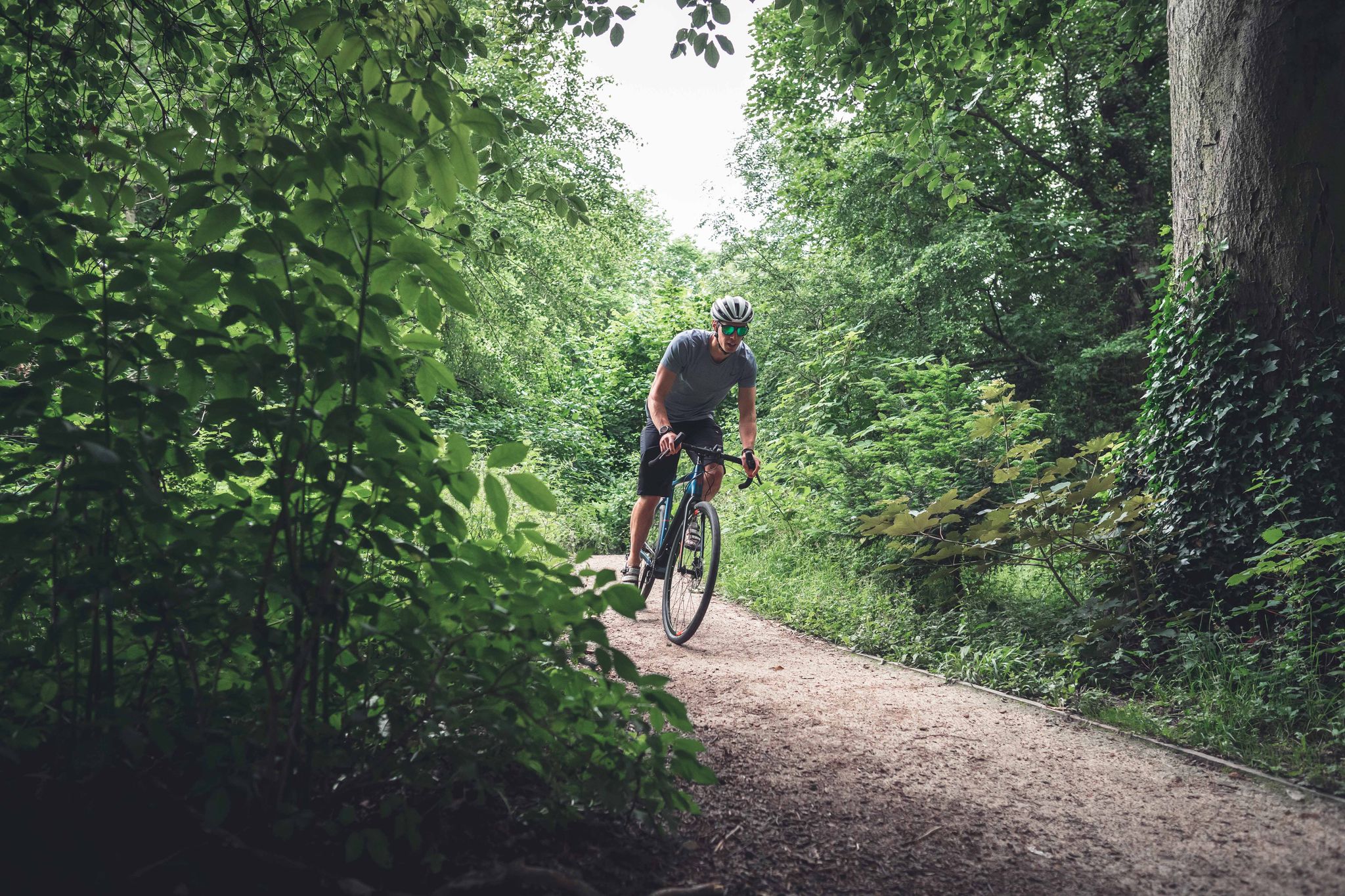
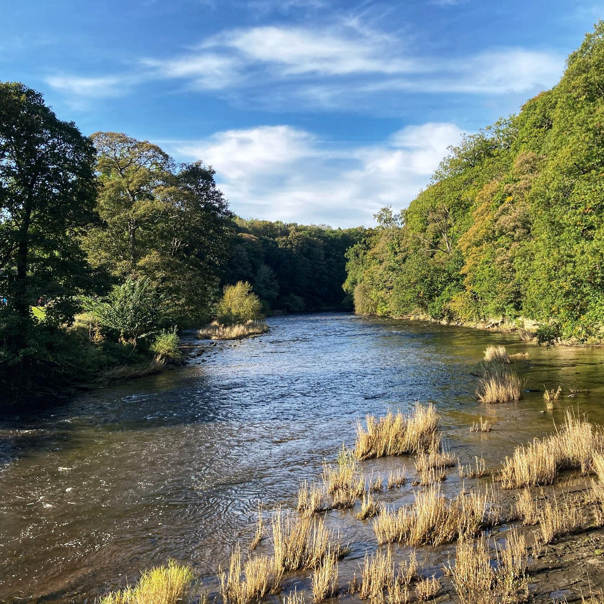
Mountain biking around Framwellgate Moor offers access to varied terrain, characterized by undulating land and proximity to river valleys like the River Wear, River Deerness, and River Browney. While Framwellgate Moor itself is a developed area, its location provides a gateway to the broader natural landscapes of County Durham. These include woodlands, open moorland, and areas with diverse topography, suitable for a range of mountain biking experiences. The region's natural features contribute to a network of trails catering to different…
Last updated: September 29, 2026
4.2
(5)
41
riders
56.8km
03:20
440m
440m
Moderate mountain bike ride. Good fitness required. Suitable for all skill levels.
5.0
(1)
32
riders
43.7km
02:41
360m
360m
Moderate mountain bike ride. Good fitness required. Suitable for all skill levels.

5.0
(1)
5
riders
35.6km
02:21
420m
420m
Moderate mountain bike ride. Good fitness required. Suitable for all skill levels.
5.0
(2)
18
riders
73.2km
04:23
620m
620m
Moderate mountain bike ride. Good fitness required. Suitable for all skill levels.
4
riders
82.2km
05:24
1,000m
1,000m
Hard mountain bike ride. Very good fitness required. Suitable for all skill levels.
Get access to more routes and recommendations from other explorers.
Already have an account?
Our route recommendations are based on thousands of hikes, rides, and runs completed by other people on komoot.
Start today with a free account
Your next adventure awaits.
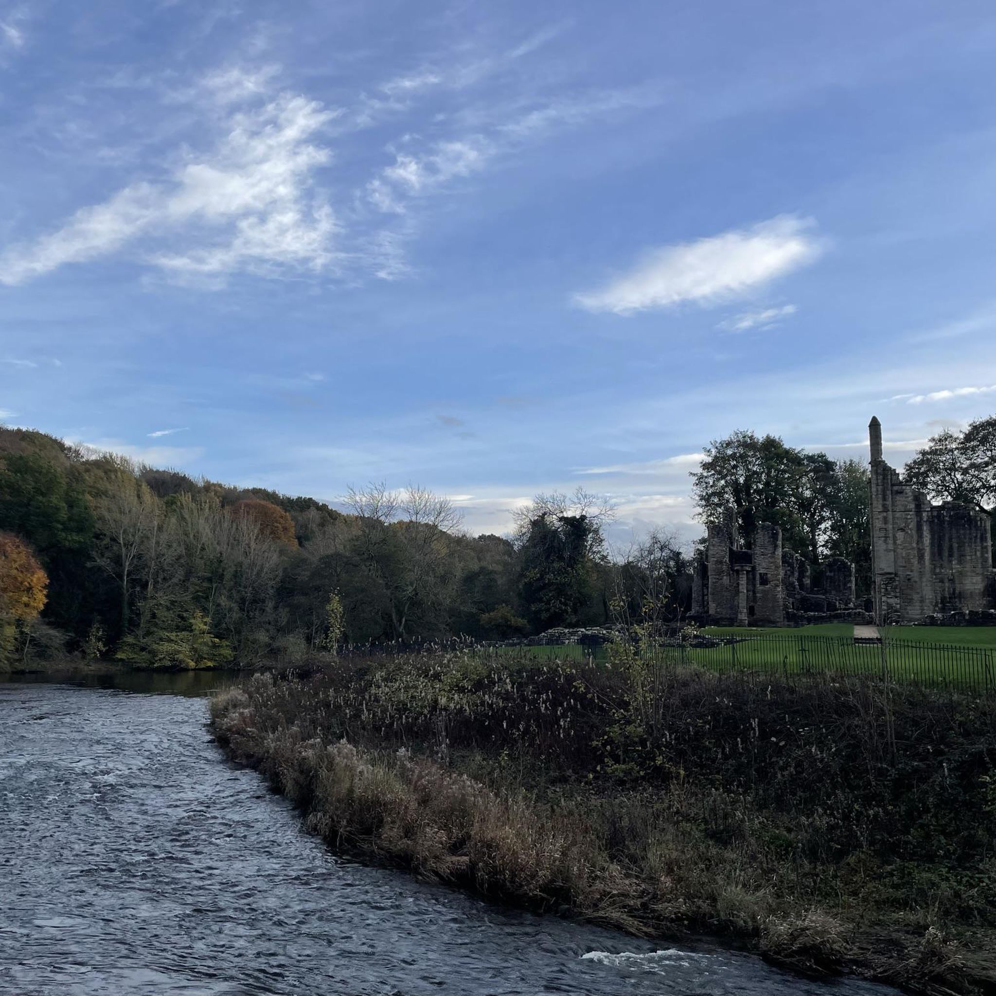
Other adventures around Framwellgate Moor

Tips from the Community


From Hownsgill Viaduct you can see for miles around whilst standing on the old railway bridge. The actual bridge has elevated side wall protector barriers, this to stop anything going over the side, the drop below is considerably higher than a house. There were high winds on the bridge on the day I rode over, the barriers also protect from the weather. You get very good views over both sides of the bridge.
0
0

This is a narrow path through a wooded area of an industrial estate. It really needs some money spending on it. Nice ride beware of other users.
0
0

Viaduct is now open, the paving is slightly bumpy though!
0
0
The photo was taken on January 9th 2025. There had been a sudden winter freeze with considerable snow fall in the County Durham area. Temperatures were down to minus 5 through the night. The snow was frozen and deep in places. Riding proved to be very difficult, the vibration was erratic and constant due to uneven feet tracks in the ice, picking a ride line was difficult and demanding, at times the bike just went on it's own ride line. West of Anfield Plain got worse, up to 8 inches of frozen snow was lying.
0
0

An easy track with techy bits like roots, sloping sides and a decent climb needing a bit of speed.
0
0
There are many bridge underpasses on this trail. They are ideal shelters on rainy days, also good locations where you can take a photo without your phone getting wet
0
0
There are several animals carved into the tree, a hedgehog, rabbit amongst them. Someone must have dedicated many hours into carving these features into the tree
0
0
Frequently Asked Questions
How many mountain bike trails are available around Framwellgate Moor?
There are over 70 mountain bike trails around Framwellgate Moor, offering a wide range of options for different skill levels and preferences. These include routes through river valleys, along former railway lines, and into broader moorland areas.
What kind of terrain can I expect on mountain bike trails near Framwellgate Moor?
The terrain around Framwellgate Moor is characterized by undulating land and river valleys, providing varied riding experiences. You'll find trails that follow the River Wear, River Deerness, and River Browney, as well as paths that lead into more open moorland and forest areas. The region's topography ensures a mix of climbs and descents.
Are there any challenging mountain bike routes for experienced riders?
Yes, for experienced riders seeking a challenge, the area offers routes like the Cycle Path to Lanchester – Deerness Valley Way loop from Durham. This difficult route covers 82.1 km with nearly 1,000 meters of elevation gain, providing a demanding ride through varied landscapes.
Are there family-friendly mountain bike trails near Framwellgate Moor?
While specific family-friendly routes are not detailed in the provided data, the region offers a significant number of easy and moderate trails. Many of the routes along former railway lines, such as sections of the Lanchester Valley Path, tend to be flatter and more accessible, making them suitable for families. Always check the route details for specific difficulty and terrain.
Can I bring my dog on the mountain bike trails?
Many trails in County Durham, especially those on public rights of way or former railway lines, are generally dog-friendly, provided dogs are kept under control. However, specific rules can vary by location, particularly in nature reserves or private land. It's always best to check local signage or the specific route details on komoot for any restrictions before heading out with your dog.
What are some notable landmarks or attractions I can see while mountain biking?
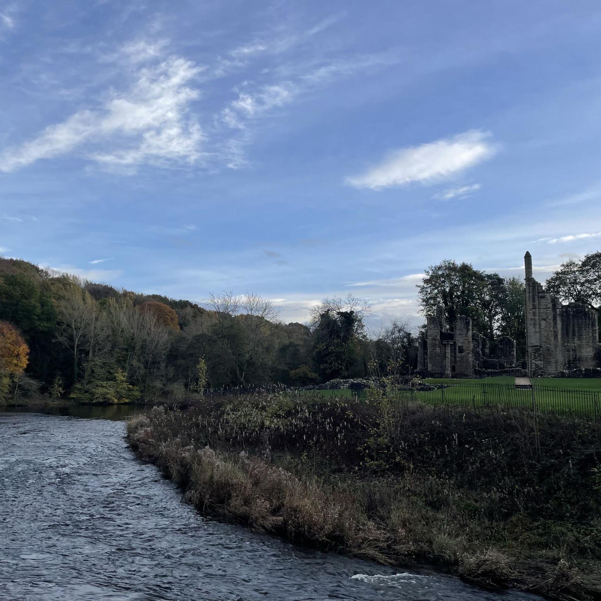
Many routes offer views of historical sites and natural beauty. For example, the Cycle Path to Lanchester – Animal Carvings in Tree Stump loop from Durham features unique 'Animal Carvings in Tree Stump'. You can also find attractions like Finchale Priory along the River Wear, or see Durham Cathedral and Durham Castle from various viewpoints on routes closer to Durham City.
Are there any circular mountain bike routes available?
Yes, many of the mountain bike trails around Framwellgate Moor are designed as circular loops, allowing you to start and finish at the same point. Examples include the Lanchester Valley Path – River Browney loop from Durham and the River Deerness – River Browney loop from Durham, both offering scenic circular rides.
What do other mountain bikers enjoy most about the trails in Framwellgate Moor?
The mountain bike trails around Framwellgate Moor are highly rated by the komoot community, with an average score of 4.4 stars from over 70 reviews. Riders often praise the varied terrain, the scenic river valleys, and the accessibility to both moderate and challenging routes. The network is appreciated for offering diverse experiences for different ability levels.
Is there parking available at the trailheads?
While specific parking details for every trailhead are not provided, Framwellgate Moor's proximity to Durham City and its surrounding areas means that many popular trail access points, especially those along former railway lines or in larger recreational areas, typically have designated parking facilities. It is advisable to check individual route descriptions or local council websites for precise parking information before your ride.
Can I access the mountain bike trails using public transport?
Framwellgate Moor is well-connected to Durham City, which serves as a hub for public transport. Many trails, particularly those starting from or passing through Durham, can be accessed via bus or train connections. However, transport options directly to more remote trailheads might be limited. Planning your route in advance and checking local bus schedules is recommended.
What is the best time of year to go mountain biking in Framwellgate Moor?
Spring, summer, and early autumn generally offer the most favorable conditions for mountain biking in Framwellgate Moor, with longer daylight hours and drier trails. While winter riding is possible, conditions can be wet and muddy, especially on unpaved sections, and daylight is limited. Always check the weather forecast and trail conditions before heading out.
Are there any waterfalls accessible from the mountain bike trails?
While Framwellgate Moor itself doesn't feature waterfalls, its location provides access to County Durham's wider natural wonders. The Durham Dales, accessible from the area, are home to the impressive High Force Waterfall, one of England's most powerful cascades. While not directly on a mountain bike trail from Framwellgate Moor, it's a notable natural attraction in the broader region.
Where can I find refreshments or accommodation near the trails?
Framwellgate Moor is a village just north of Durham City, meaning there are various cafes, pubs, and accommodation options within easy reach. Durham City itself offers a wide array of amenities for cyclists, including places to eat and stay. Many routes pass through or near villages where you can find places to refuel.
Most popular routes around Framwellgate Moor
Most popular attractions around Framwellgate Moor

Get inspired with the komoot mobile app


Explore more
Browse the best MTB trails in other regions.
