The best walks and hikes around Langleydale And Shotton
4.7
(669)
4,172
hikers
150
hikes
Hiking around Langleydale And Shotton offers a network of trails through varied terrain. The region features open fell landscapes, such as Cockfield Fell, and river valleys like the Gaunless Valley. These areas provide opportunities for circular walks Langleydale, ranging from gentle paths to more challenging ascents. The landscape is characterized by rolling hills and agricultural land, with routes often incorporating historical features.
Best hiking trails around Langleydale And Shotton
- The most popular hiking route is Cockfield Fell – View Across…
Last updated: September 29, 2026
5.0
(19)
9
hikers
6.20km
01:38
60m
60m
Easy hike. Great for any fitness level. Easily-accessible paths. Suitable for all skill levels.
5.0
(2)
7
hikers
5.66km
01:33
90m
90m
Easy hike. Great for any fitness level. Easily-accessible paths. Suitable for all skill levels.

4.0
(1)
4
hikers
9.54km
02:33
110m
110m
Moderate hike. Good fitness required. Easily-accessible paths. Suitable for all skill levels.
5.0
(1)
2
hikers
6.79km
01:51
100m
100m
Easy hike. Great for any fitness level. Easily-accessible paths. Suitable for all skill levels.
5.0
(1)
4
hikers
6.24km
01:43
100m
100m
Easy hike. Great for any fitness level. Easily-accessible paths. Suitable for all skill levels.
Get access to more routes and recommendations from other explorers.
Already have an account?
Our route recommendations are based on thousands of hikes, rides, and runs completed by other people on komoot.
Start today with a free account
Your next adventure awaits.
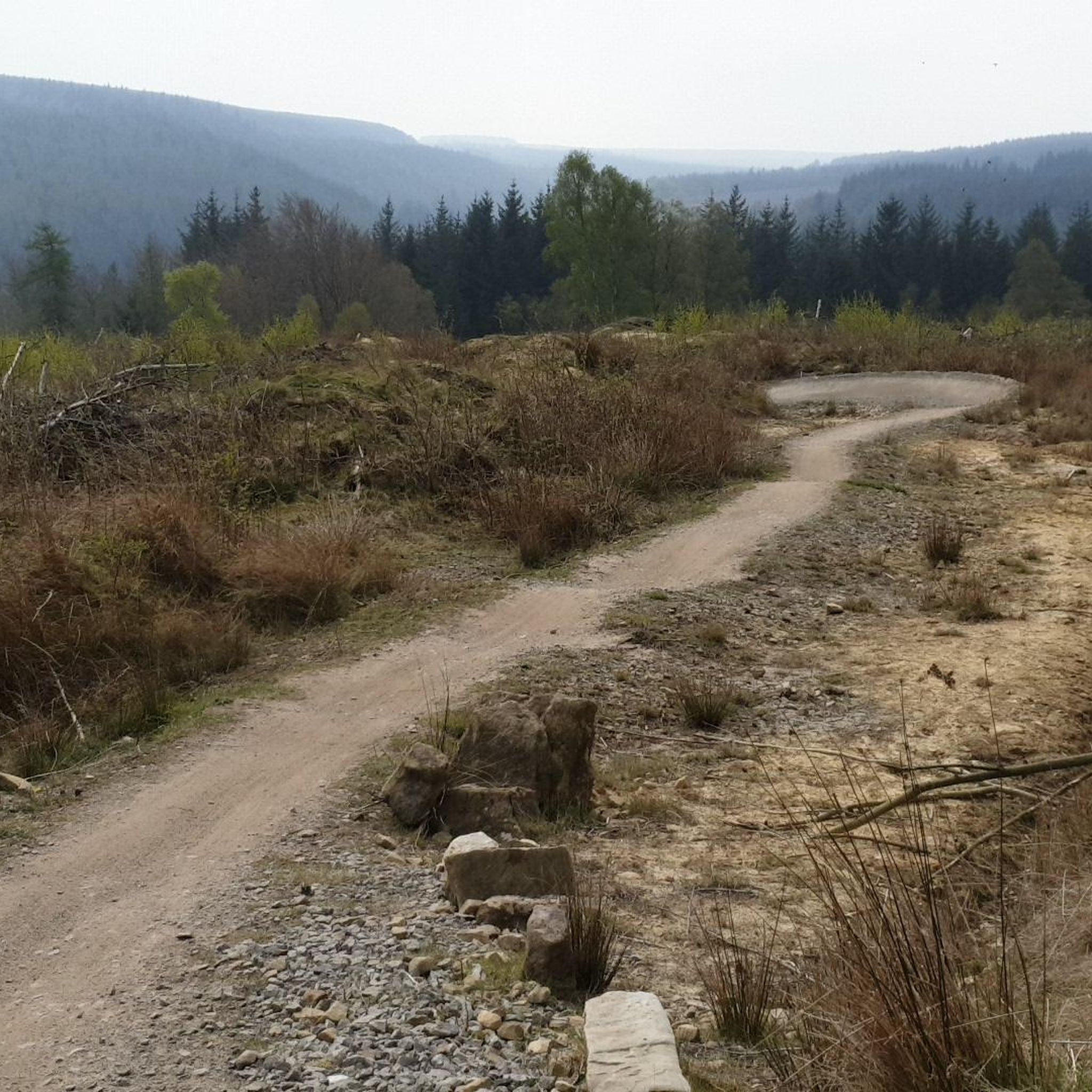
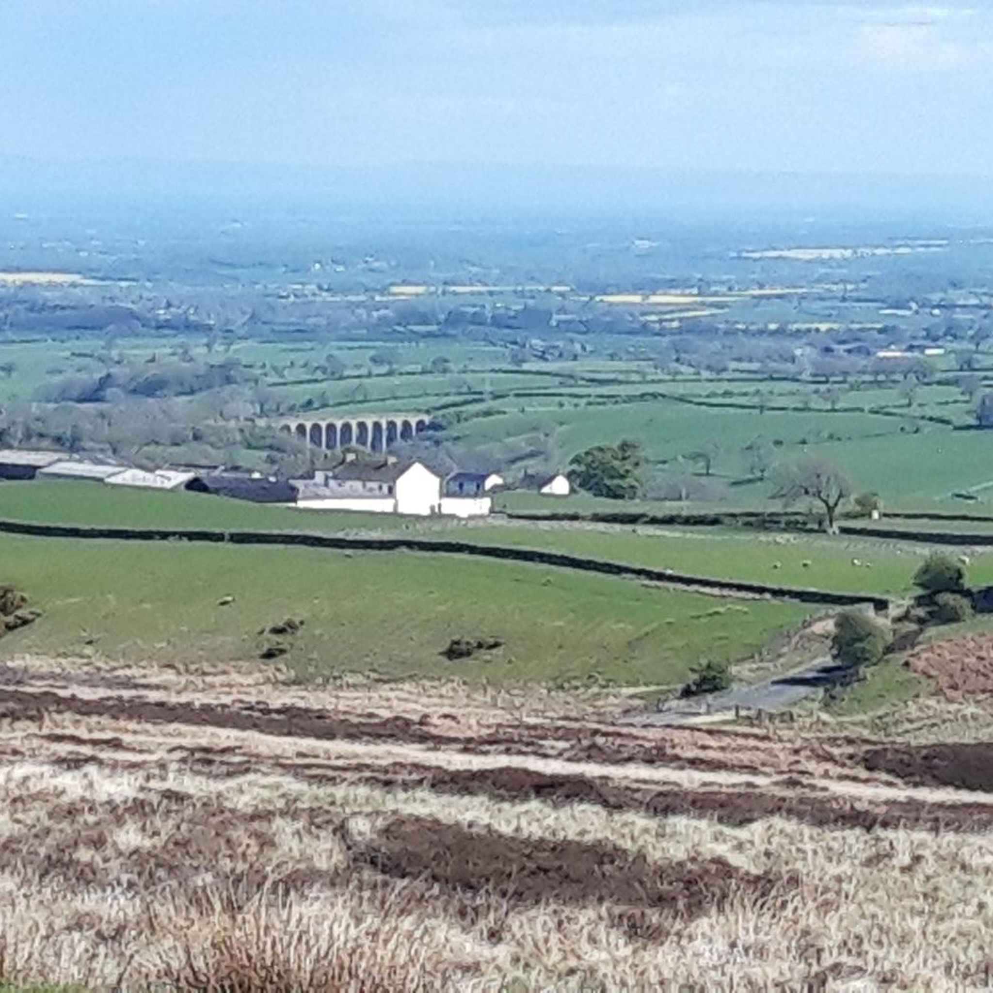
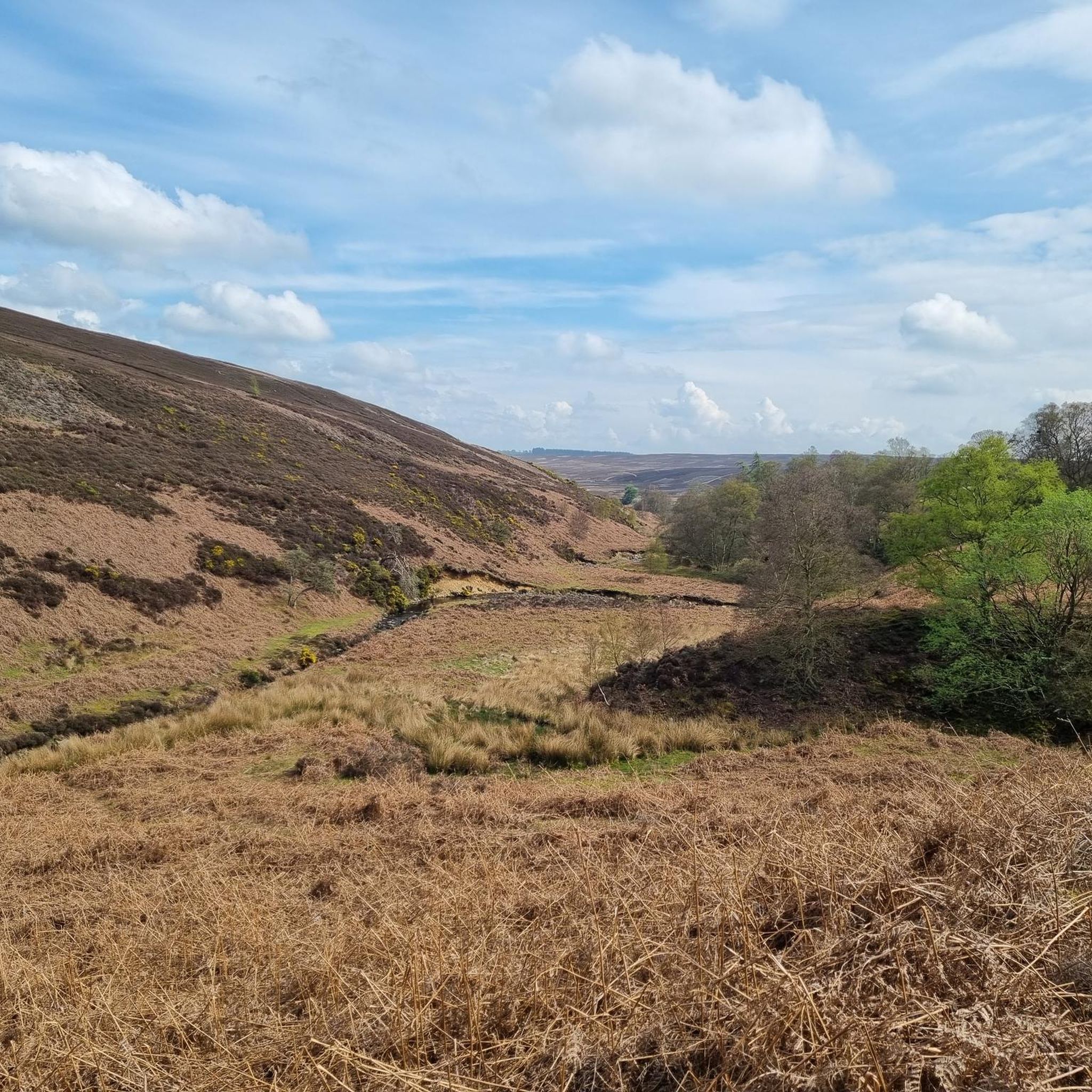
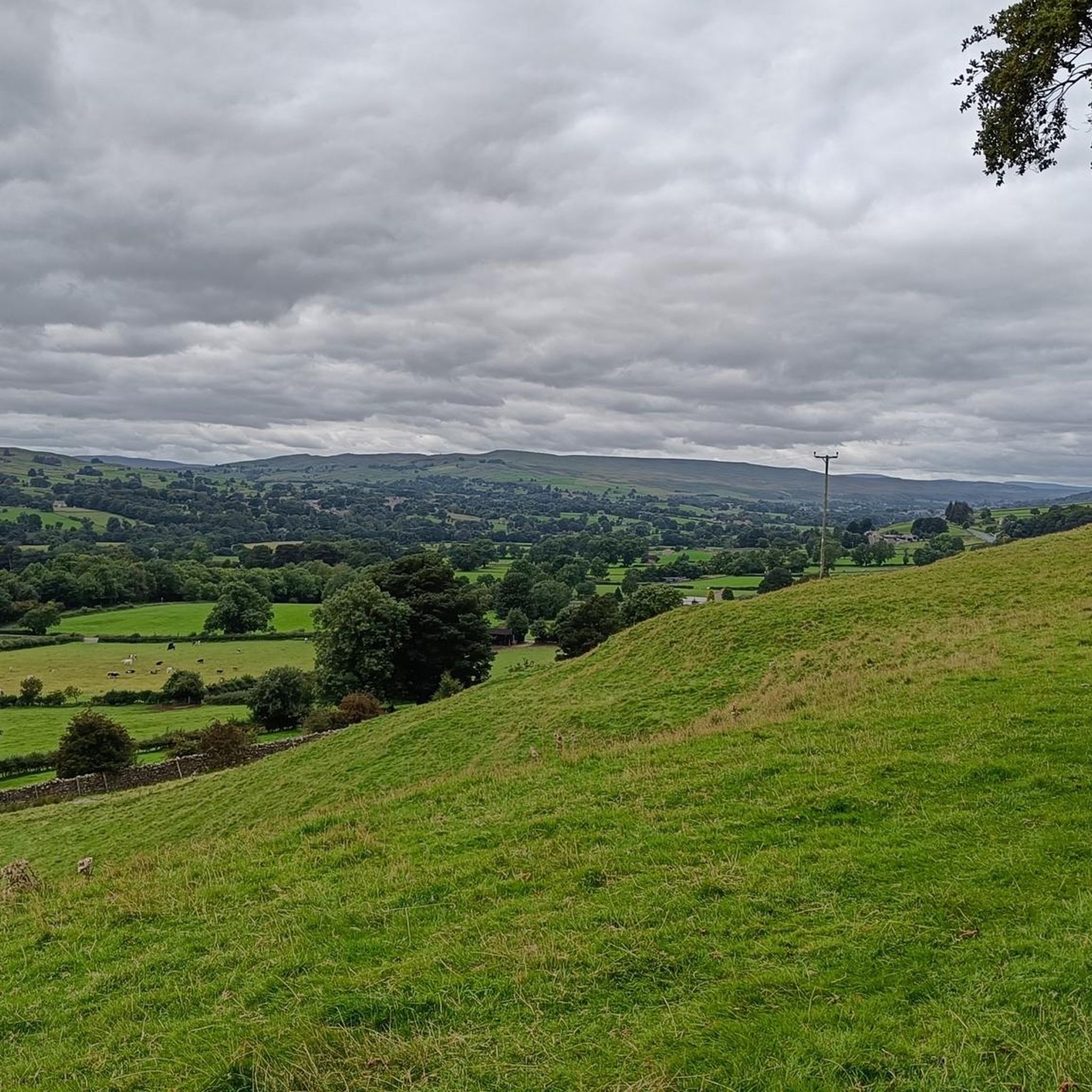

Tips from the Community

Hollymoor 250.3m P21.6 (821ft) (Hill ID: 513190) [JNSA s11207] County Durham Definitive List summit.
0
0
Frequently Asked Questions
How many hiking trails are available in Langleydale And Shotton?
There are over 150 hiking trails in the Langleydale And Shotton area, offering a wide range of options for different skill levels and preferences. This includes 63 easy routes, 72 moderate routes, and 16 more challenging trails.
Are there any family-friendly hiking routes in Langleydale And Shotton?
Yes, Langleydale And Shotton offers several family-friendly routes, particularly those exploring Cockfield Fell. An easy option is the Gaunless Valley Chimney loop from Woodland, which is 6.8 km long and suitable for a pleasant outing with children.
What are some longer or more challenging hikes in the area?
For those seeking a longer or more challenging experience, the region offers routes that extend further into the fells. While many routes are easy to moderate, there are 16 trails rated as difficult. Consider exploring routes that venture beyond the immediate fell areas for increased distance and elevation.
Are there circular walks available in Langleydale And Shotton?
Yes, many of the trails in Langleydale And Shotton are circular, allowing you to start and end at the same point. For example, the Road Intersection and Car Park – Cockfield Fell loop from Cockfield is an easy 6.2 km circular route that offers open views.
What kind of natural attractions can I see along the trails?
The Langleydale And Shotton area features several interesting natural monuments. You might encounter unique geological formations like The Elephant Trees or historical sites such as the Kirkcarrion Bronze Age Burial Mound. Several routes also pass by summit trig points like Monks Moor Summit Trig Point, offering expansive views.
What do other hikers enjoy most about Langleydale And Shotton?
The area is highly rated by the komoot community, with an average score of 4.7 stars from over 500 reviews. Hikers often praise the open fell landscapes, the clear views, and the network of trails that cater to various abilities, from gentle paths to more challenging ascents.
Is Langleydale And Shotton accessible by public transport for hikers?
While some villages in the wider County Durham area have bus services, direct public transport access to many trailheads in Langleydale And Shotton can be limited. It's advisable to check local bus schedules for specific starting points or consider driving to access the more remote routes.
Are there options for dog-friendly walks and pubs in the vicinity?
Many of the open fell and countryside trails in Langleydale And Shotton are suitable for walking with dogs, though always keep them under control, especially near livestock. For dog-friendly pubs, you'll find options in nearby villages like Cockfield or Woodland, many of which welcome well-behaved dogs, sometimes with outdoor seating.
What is the best time of year to go hiking in Langleydale And Shotton?
Spring and summer offer the most pleasant conditions for hiking, with warmer weather and blooming landscapes. Autumn brings beautiful colours to the fells. While winter walks are possible, be prepared for colder temperatures, potentially muddy conditions, and shorter daylight hours, especially on exposed fell routes.
Are there any specific parking facilities for hikers?
Parking for hikers is generally available in the villages that serve as starting points for many routes, such as Cockfield or Woodland. Some trailheads, particularly those on Cockfield Fell, may have small, informal parking areas or roadside parking. Always park responsibly and considerately.
Can I find any hidden gem walks or less-known trails in the area?
Beyond the popular routes on Cockfield Fell, exploring the Gaunless Valley or lesser-known paths around Woodland can reveal quieter, more secluded trails. These often offer a chance to discover historical industrial features and enjoy the tranquil countryside away from busier spots.
Most popular routes around Langleydale And Shotton
Most popular attractions around Langleydale And Shotton

Get inspired with the komoot mobile app


Explore more
Browse the best Hikes in other regions.
