The 13 Most Amazing Peaks around Westernohe
Mountain peaks around Westernohe are situated in the Westerwald, a low mountain range in Germany characterized by rolling hills, forests, and diverse natural landscapes. The region offers several elevated points and natural features that provide scenic views and opportunities for outdoor activities. These locations are known for their natural beauty, unique ecosystems, and geological formations. Visitors can explore various vantage points for experiencing the picturesque landscapes of the Westerwald.
Best mountain peaks around Westernohe
- The most popular mountain peaks is…
Last updated: October 10, 2026
Fuchskaute Nature Reserve
Highlight • Natural Monument
Translated by Google •
Tip by

Bartenstein Rock Formation
Highlight • Natural Monument
Translated by Google •
Tip by

Sign up now to discover places like this
Get recommendations on the best single tracks, peaks, & plenty of other exciting outdoor places.
Fuchskaute
Highlight • Summit
Translated by Google •
Tip by

Knoten Summit Cross (605 m)
Highlight • Summit
However, where the full books come I ask myself
Translated by Google •
Tip by

Höllberg Telecommunications Tower
Highlight • Monument
Translated by Google •
Tip by

Sign up for free to discover even more peaks around Westernohe.
Already have an account?
Start today with a free account
Your next adventure awaits.

Tips from the Community

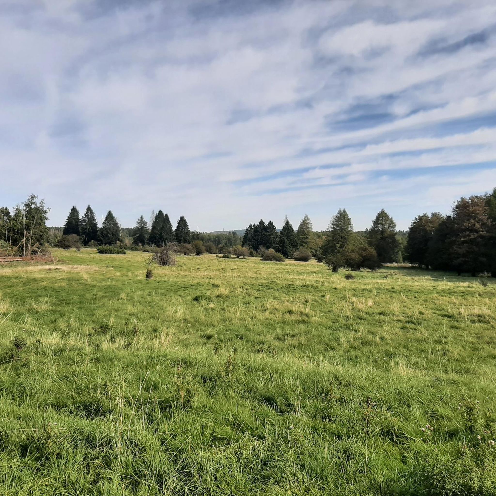
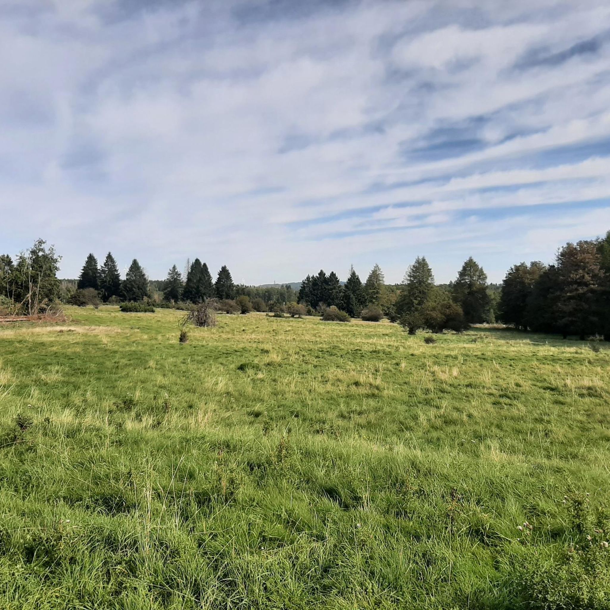
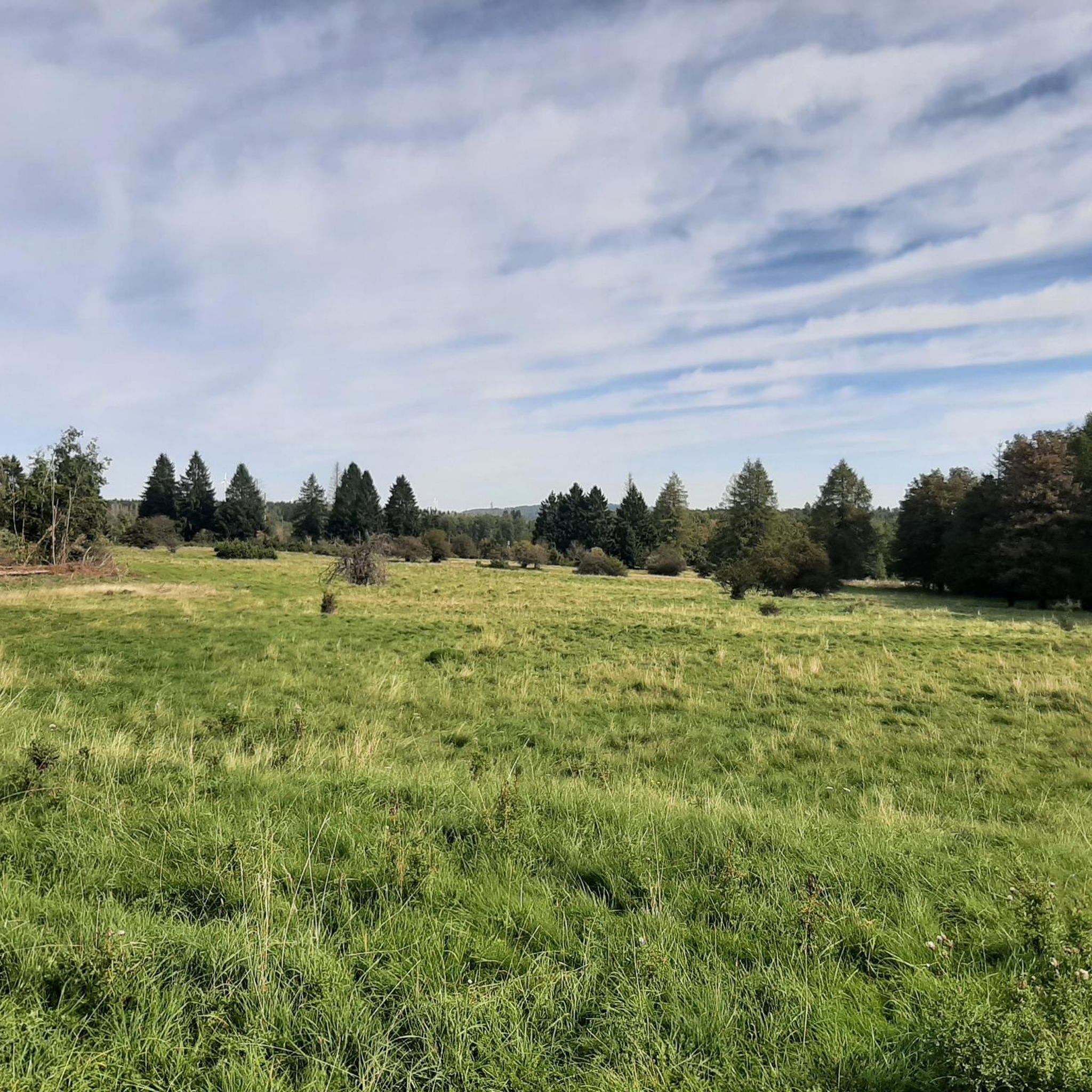
Here in this spot in the valley you can't expect a great view. If you look closely, you can still see the remains of the former grass track racing track in the grass. You can get a view from the southern side of the Fuchskaute near the former lodge.
5
1

A signpost on many tours 👍🏽
4
0

At 657 meters, the Fuchskaute is the highest elevation in the Westerwald. However, the really highest point is not outdoors, where the cross is, but hidden in the forest next door.
10
0

The highest point in the Westerwald. But my expectations were probably too high, it was nice, you should probably take it with you, but it also had a better view.
5
0

The 657m high Fuchskaute is the highest elevation in the entire Westerwald. Characteristic of the basalt summit of the Fuchskaute, but also of the entire High Westerwald, are the hedges and strips of spruce that run through the open meadow landscape. These arose as a result of reforestation plans as a countermeasure to the former massive deforestation for iron smelting or agriculture and pastoralism, so that incoming winds can be better slowed down again.
5
0

The restaurant is closed and the area including the access routes is hermetically sealed off! Only the parcel service is still welcome.
10
0

Nice path section of the Rothaarsteig.. partly pathed and with great views
5
1

Didn't know that it was a former volcano 🌋. But where else should the basalt come from?
6
0
Frequently Asked Questions
What are the most prominent mountain peaks or elevations near Westernohe?
The Westerwald region, where Westernohe is located, features several notable elevations. The highest is Fuchskaute Summit at 657 meters, known for its unique natural reserve. Another significant peak is Bartenstein Rock Formation, standing at 615 meters with a distinctive basalt summit. The Knoten Summit Cross (605 m) is also a popular spot offering great views.
What unique natural features can I discover at Fuchskaute?
The Fuchskaute Nature Reserve is a flat, high basalt plateau with meadows resembling those found in the Alps. It's famous for tens of thousands of Arnica flowers blooming in July, and hosts nearly 300 species of flowering plants, 300 butterfly species, and almost 50 bird species. An 'Arnika-Rundweg' (Arnica circular trail) guides visitors through its rich flora and fauna.
Are there any historical or geological points of interest among the peaks?
Yes, the Bartenstein Rock Formation is a designated geological attraction within the Westerwald-Lahn-Taunus Geopark, recognized for its distinctive basalt summit. Local legend also tells of a bard chained to a rock here, adding a mythical element to its appeal.
What kind of outdoor activities can I do near the mountain peaks around Westernohe?
The region offers a variety of outdoor activities. You can explore numerous hiking trails, including sections of the long-distance WesterwaldSteig. For cycling enthusiasts, there are options for both road cycling and gravel biking. You can find detailed routes for hiking, road cycling, and gravel biking around Westernohe.
Are there family-friendly options for exploring the peaks?
While some peaks offer challenging climbs, areas like the Fuchskaute Nature Reserve with its Arnika-Rundweg are suitable for families. The Ketzerstein Natural Monument also offers a family-friendly experience with a rest area and refuge nearby.
What is the best time of year to visit the mountain peaks around Westernohe?
The region is beautiful year-round, but for experiencing the unique flora, July is particularly special at Fuchskaute when the Arnica flowers are in full bloom. Spring and autumn offer pleasant temperatures for hiking and cycling, with vibrant foliage in the fall.
What do visitors enjoy most about the mountain peaks in this region?
Visitors frequently praise the natural beauty, diverse ecosystems, and tranquil escape into nature. The scenic views from various vantage points, the unique geological features like basalt formations, and the rich biodiversity, especially at Fuchskaute, are highly appreciated by the komoot community.
Are there challenging climbs for experienced hikers?
Yes, the Bartenstein Rock Formation is known for offering challenging climbs that reward visitors with scenic views of the surrounding region. The varied terrain of the Westerwald provides opportunities for different difficulty levels.
Can I find long-distance hiking trails that include these peaks?
Yes, the Fuchskaute, being the highest elevation in the Westerwald, is part of the WesterwaldSteig, a well-known long-distance hiking trail. This allows visitors to integrate the region's prominent peaks into longer trekking adventures.
What is the <a href="https://www.komoot.com/highlight/6671095" target="_blank" rel="noopener">Ketzerstein Natural Monument</a>?
The Ketzerstein Natural Monument is a unique stone formation on a meadow, featuring basalt blocks. It's a popular spot for rest, with a nearby refuge and barbecue area, and offers very nice views of the surroundings.
Are there places to eat or stay near the mountain peaks?
While specific restaurants directly on every peak might be limited, the region around Westernohe and nearby towns offer cafes, pubs, and accommodation options. For example, the Fuchskaute Summit previously had a restaurant, though it is now permanently closed to the public. It's advisable to check local listings for current dining and lodging availability in the surrounding villages.
Most popular routes around Westernohe
Most popular attractions around Westernohe

Get inspired with the komoot mobile app


Explore more
See even more amazing summits around Westernohe with these guides:
