The best walks and hikes around Pittington
4.5
(1334)
8,965
hikers
611
hikes
Hikes around Pittington explore the rolling countryside of County Durham. The landscape is characterized by a mix of agricultural fields, woodland walks, and repurposed railway lines that provide flat, accessible paths. The routes offer varied terrain, from riverside trails to gentle climbs through forested areas, suitable for a range of fitness levels.
Best hiking trails around Pittington
- The most popular hiking route is Coldwell Burn Forest Path loop from High Pittington, a 5.9 mile (9.4 km) trail that takes about 2 hours 20 minutes to complete. This moderate route leads through woodland scenery and open fields.
- Another top favourite among local hiking enthusiasts is Riverside Path – Belmont Railway Viaduct loop from Brasside Ponds SSSI, an easy 3.4 mile (5.5 km) path. The trail follows the river and crosses the historic Belmont Railway Viaduct.
- Local hiking enthusiasts also love the Hillside Farm Gate loop from High Pittington, a 4.3 mile (7.0 km) trail leading through farmland, often completed in about 1 hour 45 minutes.
- Hiking around Pittington is defined by its gentle hills, woodland paths, and former railway lines. The network of trails provides options for both easy Pittington circular walks and more moderate hikes.
- The routes in Pittington are highly rated by the komoot community with an average score of 4.6 stars from over 1,000 reviews. More than 8,000 hikers have used komoot to explore Pittington's varied terrain.
Last updated: September 25, 2026
4.0
(3)
30
hikers
Easy hike. Great for any fitness level. Easily-accessible paths. Suitable for all skill levels.
22
hikers
12.9km
03:25
130m
130m
Moderate hike. Good fitness required. Easily-accessible paths. Suitable for all skill levels.

30
hikers
11.2km
02:59
120m
120m
Moderate hike. Good fitness required. Easily-accessible paths. Suitable for all skill levels.
5.0
(2)
9
hikers
Moderate hike. Good fitness required. Easily-accessible paths. Suitable for all skill levels.
11
hikers
13.6km
03:36
130m
130m
Moderate hike. Good fitness required. Easily-accessible paths. Suitable for all skill levels.
Get access to more routes and recommendations from other explorers.
Already have an account?
Our route recommendations are based on thousands of hikes, rides, and runs completed by other people on komoot.
Start today with a free account
Your next adventure awaits.

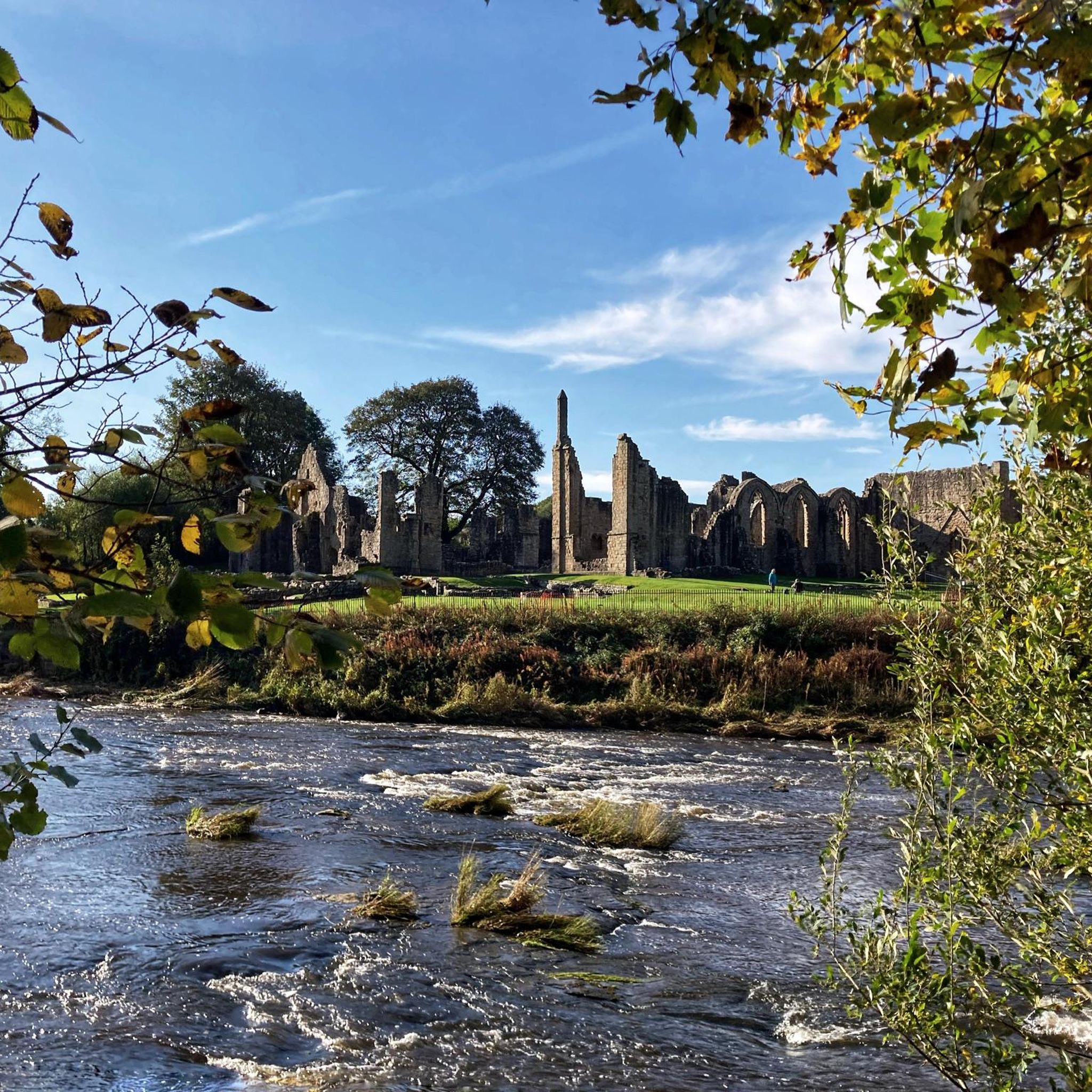
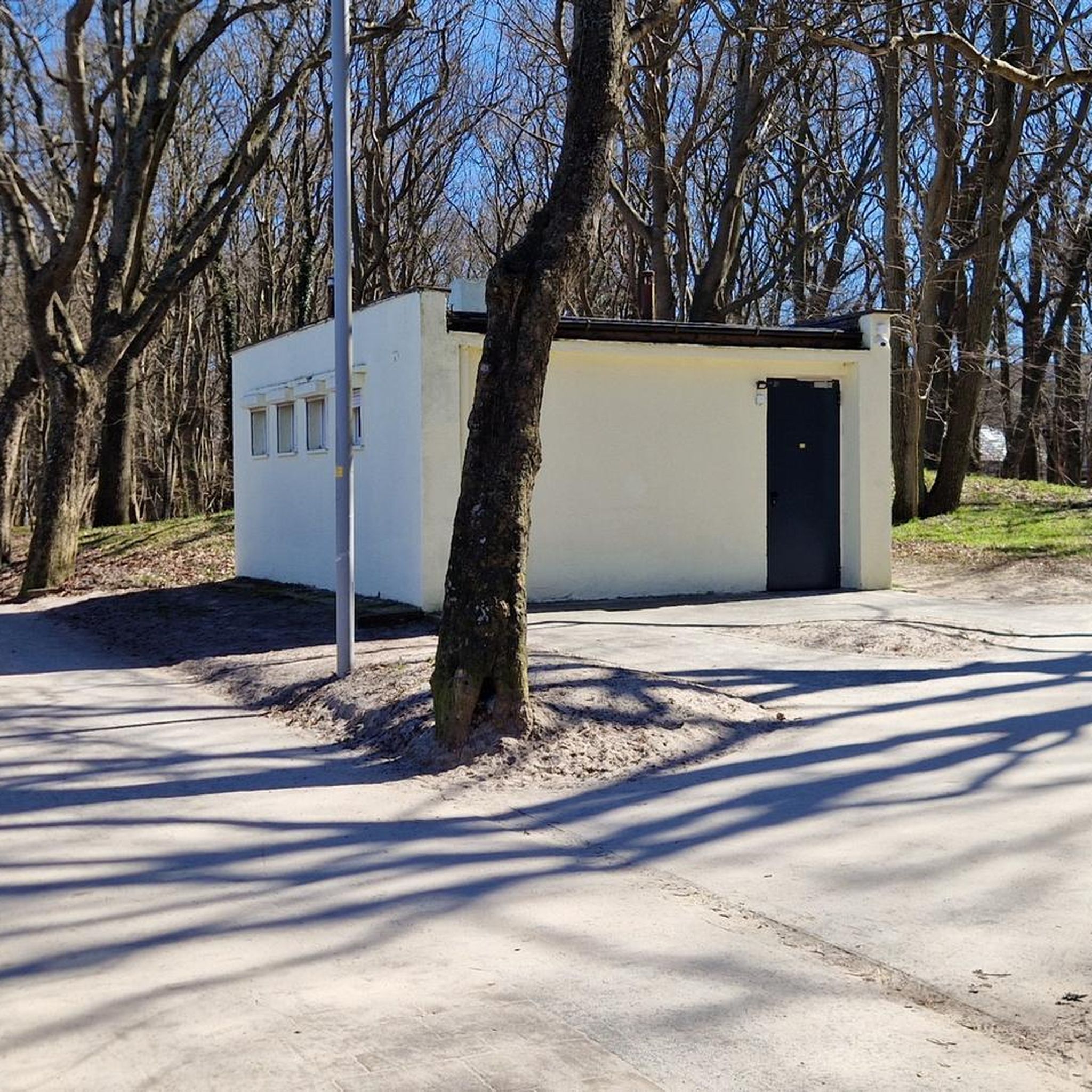
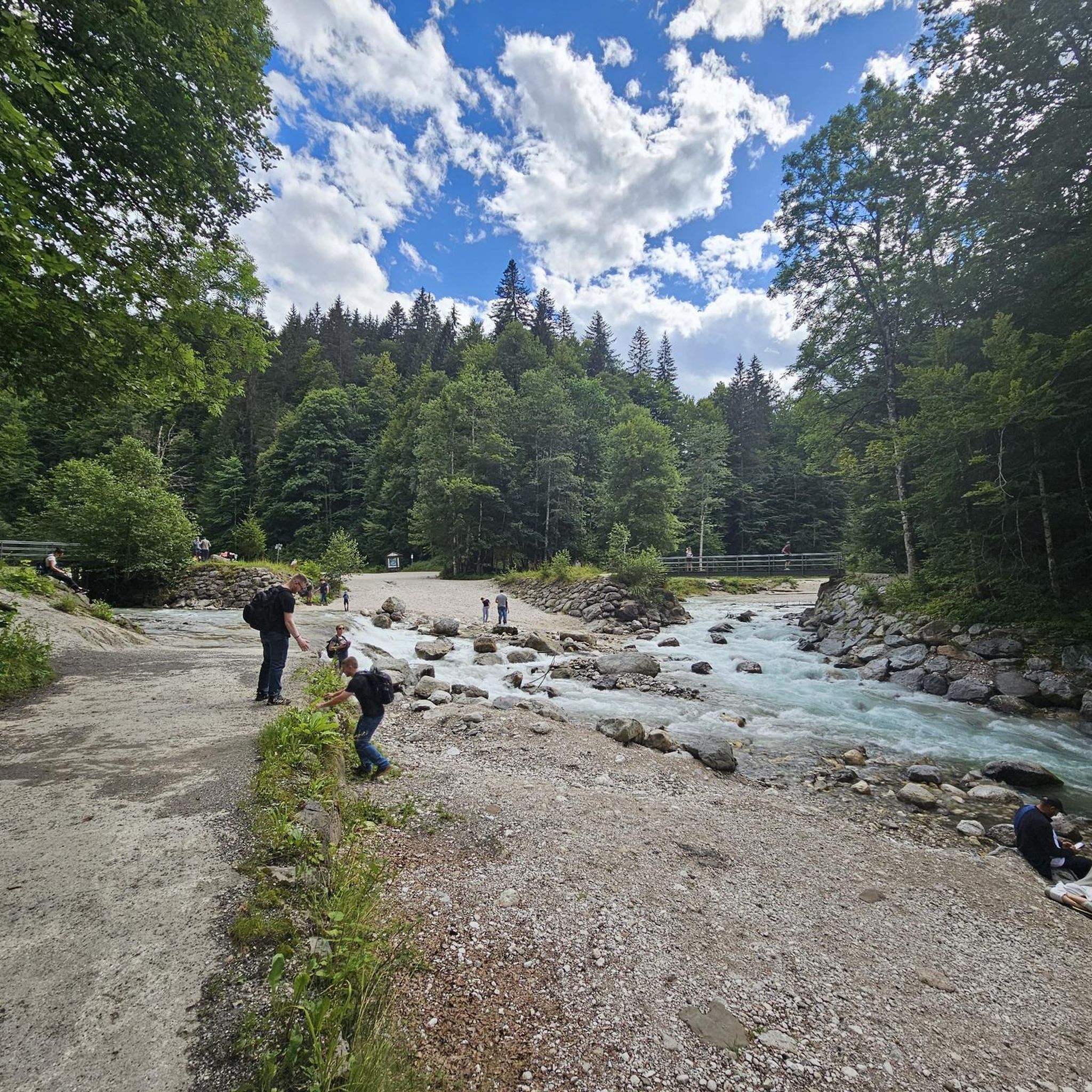

Tips from the Community

Slight incline to climb the bank, but you are rewarded with some quiet forest trails and old mining history.
0
0

From the 18th-century stone bridge, you can see Durham Cathedral and Castle on top of a rocky peninsula, wrapped by the River Wear.
0
0
The cathedral was originally constructed to house the relics of St Cuthbert, a beloved Northumbrian saint. His shrine is a significant pilgrimage destination.
0
0
The footbridge is a cable-stayed bridge over the River Wear in Durham. It is a popular crossing for walkers and for Durham University, as it connects the main sports complex with additional playing fields on the opposite bank.
0
0
The bandstand is located on the city's riverside sports grounds, an area commonly called the Racecourse.
0
0
The Durham Cow statue is situated on the riverside path at The Racecourse, between Baths Bridge and the bandstand.
0
0

'Reveal' by Richard Cole is a conical column of irregularly textured stone with six shallow niches and a long narrow aperture at its centre. Constructed using centuries-old stone from the Cathedral's former turret, the sculpture was unveiled in 1997, standing under trees opposite the cathedral.
1
1

We recommend a short walk along the river loop around the rock. Here you can see several bridges, including two bridges from the Middle Ages.
0
0
Frequently Asked Questions
Are there many walking routes to choose from around Pittington?
Yes, there are over 600 hiking routes to explore in the Pittington area. The majority are easy or moderate, making the region accessible for various fitness levels. You'll find a mix of woodland paths, repurposed railway lines, and walks through rolling farmland.
What do other hikers enjoy about the trails in Pittington?
The trails around Pittington are highly regarded by the komoot community. Hikers often praise the peaceful woodland sections, the well-maintained former railway paths that offer easy, flat walking, and the lovely views across the County Durham landscape.
Are there any easy, family-friendly walks?
The Pittington Way Railway Path is an excellent choice for families. It's a flat, straight path that's great for walkers of all ages, as well as for pushchairs. For a gentle circular route, the Hillside Farm Gate loop from High Pittington is a pleasant 7 km walk through local farmland.
Can I take my dog on the trails?
Most trails in the area are suitable for dogs, especially the open-country and woodland paths. Former railway lines like the Lanchester Valley Railway Path are popular with dog walkers. Always be mindful of livestock in agricultural fields and keep your dog on a lead where required.
Which hike offers the best views?
For panoramic vistas, the walk up Pittington Hill is highly recommended. It's a relatively short circular walk that rewards you with sweeping views over the Durham Valley. On a clear day, you can see as far as Newcastle.
Are there any good circular walks?
There are many excellent circular routes. A great option that takes you closer to the city is the Old Durham Gardens – Durham Riverside Walk loop from Carrville. This moderate 12.4 km hike combines historical gardens with scenic riverside paths along the Wear.
Where can I find a good woodland walk?
The Coldwell Burn Forest Path loop from High Pittington is a popular choice that leads you through refreshing woodland scenery. The area also includes other wooded pockets like Elemore Woods and Dog Kennel Wood, which are crisscrossed with local footpaths.
Are there any walks that include a pub stop?
Many walks start or finish in villages like High Pittington or Low Pittington, which have local pubs perfect for refreshments after your hike. Planning a route that passes through one of the villages is the best way to incorporate a pub stop.
What is the Pittington Way Railway Path?
It's a former railway line that has been converted into a green corridor for walkers and cyclists. It offers a flat, straight, and accessible path running between Low Pittington and Hetton-le-Hole. It's known for its abundant wildflowers and birdlife. For more details, you can consult the local council's leaflet here.
Can I combine a hike with a visit to Durham city?
Absolutely. The Durham Cow Statue – Old Durham Gardens loop from Belmont is a 13.3 km route that brings you close to the city, allowing you to easily extend your day to visit Durham Cathedral and Castle after your walk.
Where is a good place to park for a walk?
Many routes start from villages like High Pittington or Belmont where on-street parking is often available, but be sure to park considerately. For specific trailheads, like those for the Rainton Meadows Nature Reserve or walks starting near Durham, there are often dedicated free car parks.
Are there any waterfalls to see on walks near Pittington?
The immediate Pittington area is characterized more by rolling hills and gentle streams than waterfalls. However, a drive into the wider County Durham area can take you to stunning spots like Low Force Waterfall, a highly-regarded series of falls in the North Pennines.
Most popular attractions around Pittington

Get inspired with the komoot mobile app


Explore more
Browse the best Hikes in other regions.
