The best road cycling routes around Earle
4.0
(2)
419
riders
60
rides
Road cycling around Earle, Arkansas, is characterized by the flat expanse of the Arkansas Delta, offering extensive, level roads. The region provides long, uninterrupted stretches of road with panoramic views of expansive farmlands. Earle's proximity to the Great River Road National Scenic Byway allows access to routes alongside the Mississippi River, providing scenic views.
Best road cycling routes around Earle
- The most popular road cycling route is Delta Farmlands Loop, a 15.5 miles (25 km) trail that takes 1…
Last updated: September 29, 2026
12
riders
67.7km
03:02
620m
620m
Moderate road ride. Good fitness required. Mostly well-paved surfaces and easy to ride.
5
riders
132km
06:18
1,530m
1,530m
Hard road ride. Very good fitness required. Mostly well-paved surfaces and easy to ride.

6
riders
48.4km
02:06
440m
440m
Moderate road ride. Good fitness required. Mostly well-paved surfaces and easy to ride.
3.0
(1)
29
riders
56.1km
02:39
560m
560m
Moderate road ride. Good fitness required. Mostly well-paved surfaces and easy to ride.
13
riders
97.4km
04:19
860m
860m
Moderate road ride. Good fitness required. Mostly well-paved surfaces and easy to ride.
Get access to more routes and recommendations from other explorers.
Already have an account?
Our route recommendations are based on thousands of hikes, rides, and runs completed by other people on komoot.
Start today with a free account
Your next adventure awaits.

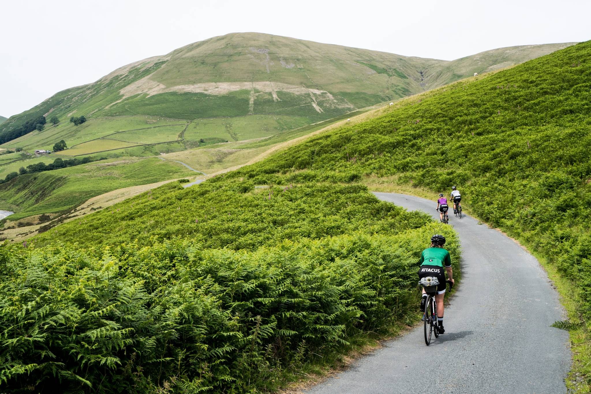
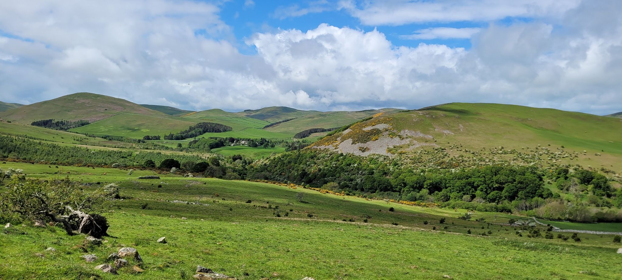
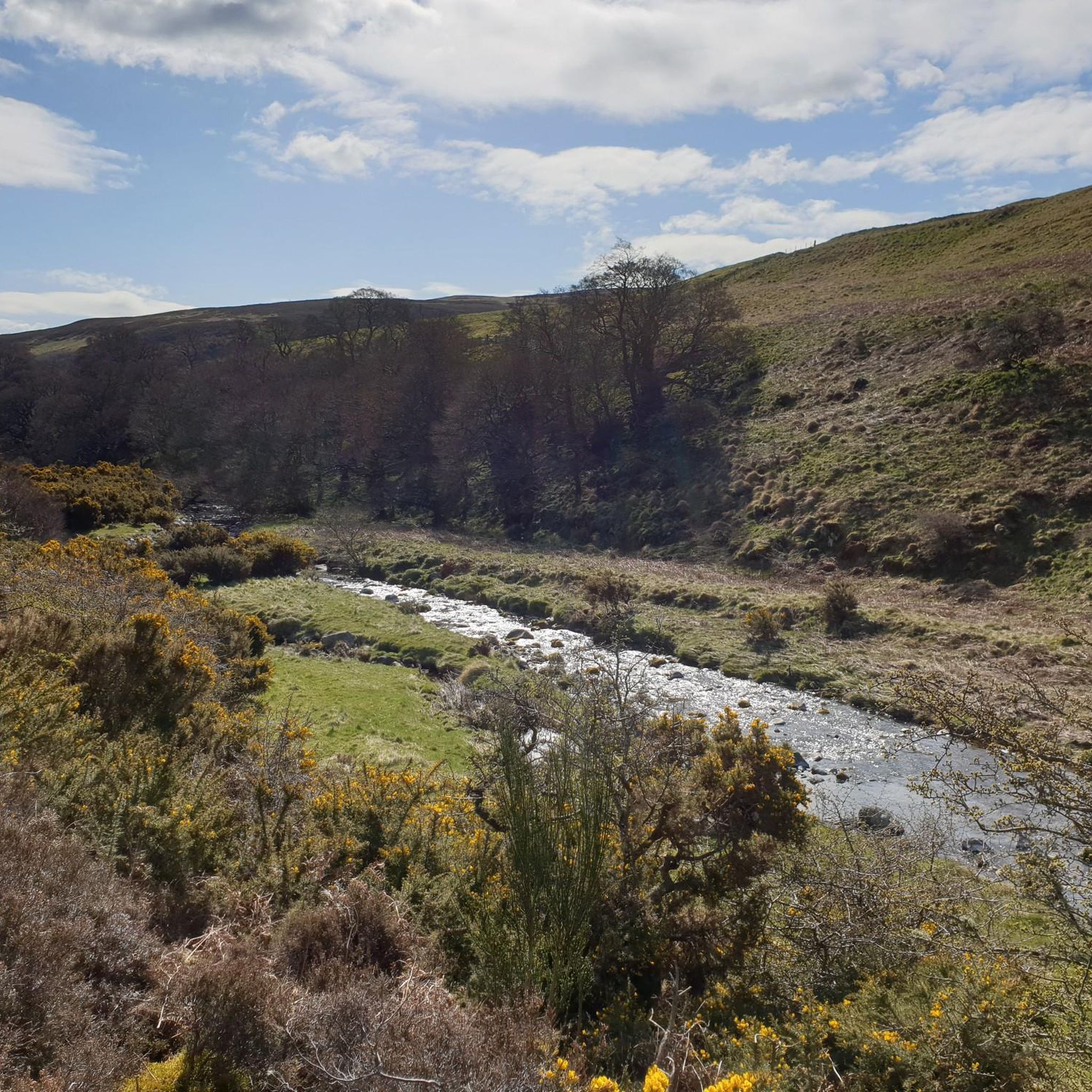


Tips from the Community

Walking around Bamburgh is free and spectacular from all angles. You will need to however pay should you want to venture inside the castle walls.
0
0

Bamburgh, home of a small castle, scenic cricket ground and a master butcher in Carters
0
0


Good spot to refill water bottles if you’re running low.
0
0

Freshly ground coffee, scones, pasties and sandwiches. Reasonable price.
0
0

Bamburgh, located on the northeast coast of England in Northumberland, is renowned for its historical and scenic significance. Dominated by the imposing Bamburgh Castle, a fortress with origins in the 6th century and extensive Norman architecture, the village offers panoramic coastal views and a rich history as the former seat of Northumbrian kings. The picturesque village features quaint shops, pubs, and St Aidan's Church, linked to the early spread of Christianity. The expansive sandy beaches and nearby Farne Islands enhance its natural beauty, attracting outdoor enthusiasts and wildlife watchers. Additionally, Bamburgh is celebrated for its connection to the Victorian heroine Grace Darling, commemorated in a local museum. This blend of historical depth and natural splendor makes Bamburgh a captivating destination.
0
0

Nestled in the scenic landscape of Glendale, near the Cheviot Hills, Chatton is a quaint rural village with a pub and village shop.
1
0
Frequently Asked Questions
How many road cycling routes are available around Earle?
There are over 60 road cycling routes available around Earle, offering a variety of options for different skill levels and preferences. These routes primarily feature the flat terrain of the Arkansas Delta.
What kind of terrain can I expect on road cycling routes in Earle?
Road cycling in Earle is characterized by the remarkably flat topography of the Arkansas Delta. You can expect long, uninterrupted stretches of road with panoramic views of expansive farmlands, making it ideal for endurance rides or leisurely tours without significant climbs.
Are there any easy or beginner-friendly road cycling routes in Earle?
Yes, Earle offers many easy and moderate routes suitable for beginners and families. The flat delta terrain ensures a less challenging ride. For example, the Great River Road Scenic Ride is an easy 25-mile path that follows sections of the Great River Road.
What are the typical distances for road cycling routes in Earle?
Route distances vary, but many popular options range from 12 to 25 miles. For instance, the Wapanocca Refuge Perimeter is about 12.5 miles (20 km), while the Delta Farmlands Loop is 15.5 miles (25 km).
What is the best time of year for road biking in Earle?
The flat terrain of the Arkansas Delta makes road cycling enjoyable for much of the year. Spring and fall generally offer the most pleasant temperatures. Summers can be hot and humid, so early morning or late afternoon rides are recommended during those months.
Are there any scenic viewpoints or natural attractions along the road cycling routes?
Yes, the region offers scenic views of expansive farmlands and the unique agricultural landscape. Routes along the Great River Road provide stunning views of the Mississippi River. While not directly on cycling routes, nearby natural features include the Linhope Spout Waterfall and various viewpoints like Cairn Hill and Ros Castle Hill Fort, which can be explored as part of a longer trip.
What do other road cyclists enjoy most about cycling in Earle?
The area is highly rated by the komoot community, with an average score of 4.0 stars from over 2 reviews. Cyclists often praise the tranquil, level roads, the panoramic views of farmlands, and the accessibility of routes like the Great River Road National Scenic Byway.
Are there any advanced road cycling routes for experienced riders?
While Earle is known for its flat terrain, experienced riders can challenge themselves with longer distances or by combining multiple routes. The region's extensive, uninterrupted roads are perfect for endurance training, even without significant elevation changes.
Are there circular road bike routes available in Earle?
Yes, many of the routes around Earle are designed as loops, allowing you to start and end at the same point. Examples include the Delta Farmlands Loop and the Wapanocca Refuge Perimeter, providing convenient circular options.
What are the road conditions like for cycling in Earle?
The roads in Earle and the surrounding Arkansas Delta are generally well-suited for road cycling, being mostly flat and tranquil. As with any rural area, it's always advisable to be aware of local road conditions, especially after heavy rain, but the primary characteristic is smooth, level surfaces.
Where can I find parking for road biking trails near Earle?
While specific parking areas for each route are not always designated, many routes start from accessible points within or near Earle. Look for public parking in town centers or near local parks, which often serve as convenient starting points for rides into the surrounding delta.
Are there any cafes or places to stop for refreshments along the routes?
Earle is a small community, so while dedicated cycling cafes might be limited directly on rural routes, you can find local eateries and convenience stores within Earle itself or in nearby towns. Planning your route to pass through these areas can provide opportunities for refreshments.
Most popular attractions around Earle

Get inspired with the komoot mobile app


Explore more
Browse the best Road cycling routes in other regions.
