Attractions and Places To See around Westerngrund - Top 20
Best attractions and places to see around Westerngrund include a blend of historical landmarks, natural features, and recreational routes. This municipality in Bavaria, Germany, is situated within the picturesque Westerngrund Dale and the wider Spessart region. The area holds historical significance, having hosted the geodetic center of the European Union for several years, and offers diverse landscapes for exploration. Visitors can find various opportunities for hiking and cycling through its scenic surroundings.
Best attractions and places to see around Westerngrund
…Last updated: July 6, 2026
Ludwig Tower (Hahnenkamm)
Highlight • Viewpoint
Translated by Google •
Tip by

Kahltal Cycle Path near Michelbach
Highlight • Cycleway
Translated by Google •
Tip by

Sign up now to discover places like this
Get recommendations on the best single tracks, peaks, & plenty of other exciting outdoor places.
Sign up for free
Kinzig Floodplains
Highlight • River
Translated by Google •
Tip by

Rodfeldturm Observation Tower
Highlight • Viewpoint
Translated by Google •
Tip by

Kinzigtal Cycle Path
Highlight • Cycleway
Translated by Google •
Tip by

Sign up for free to discover even more attractions around Westerngrund.
Sign up for free
Already have an account?
Start today with a free account
Your next adventure awaits.
Login or Signup
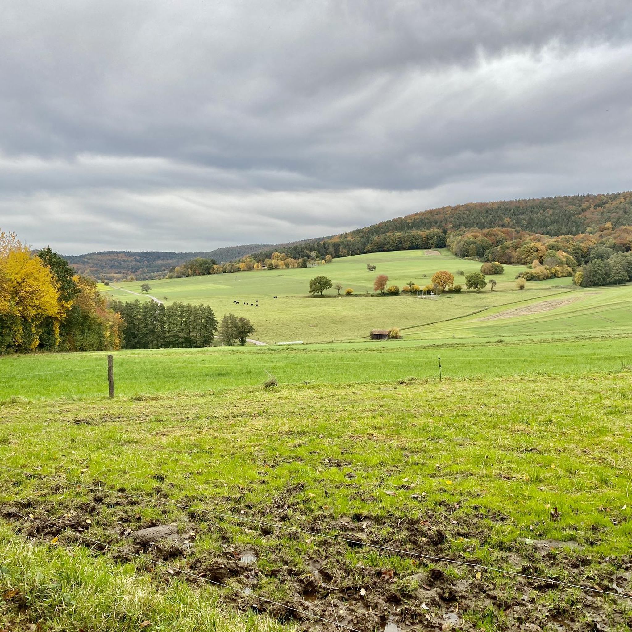
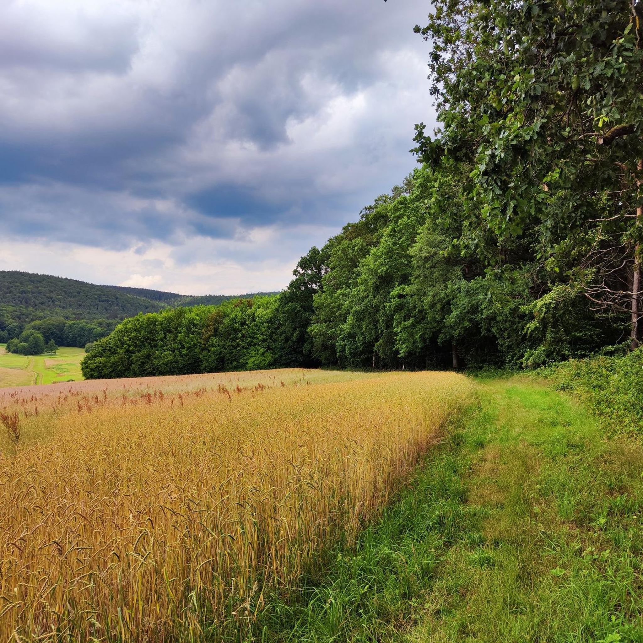
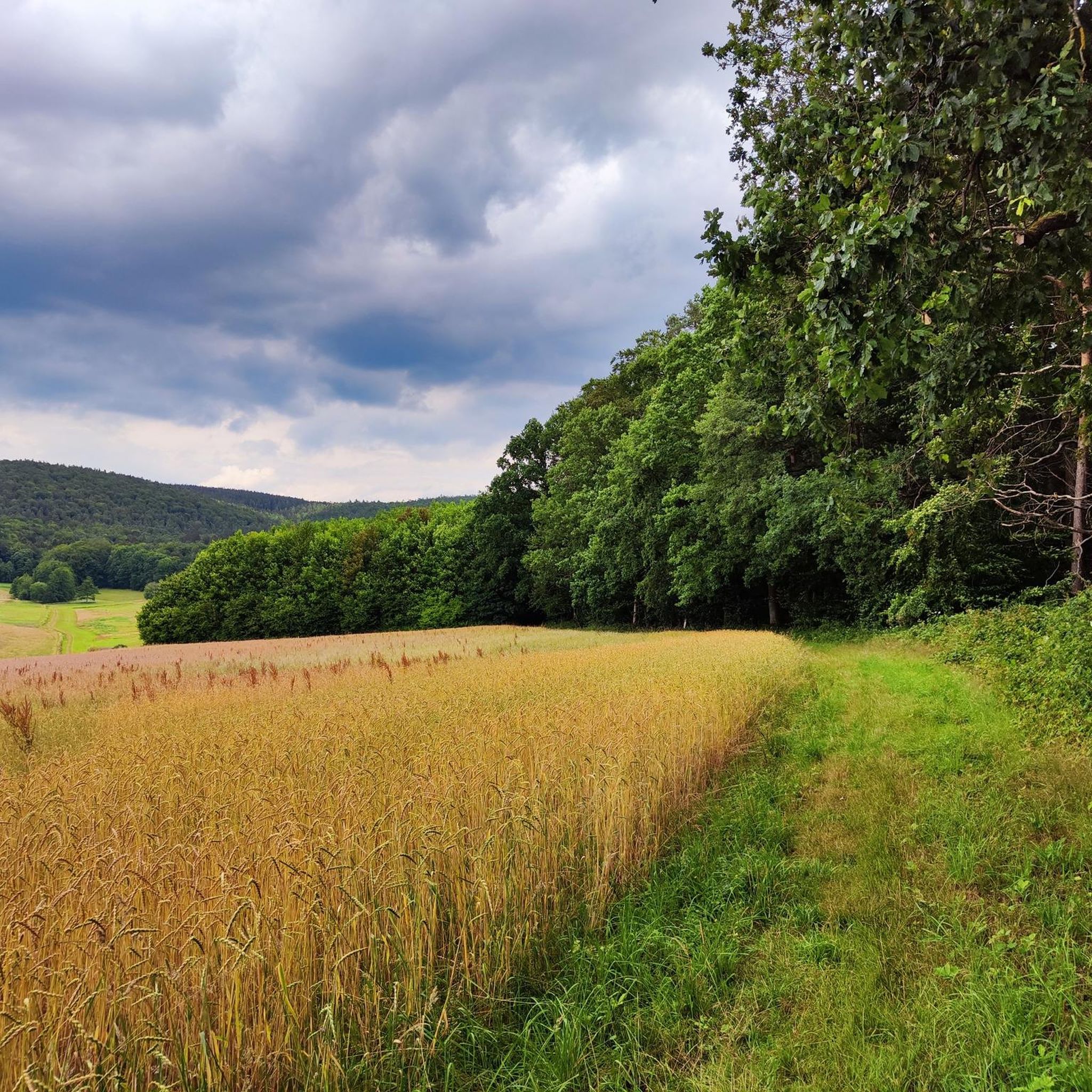
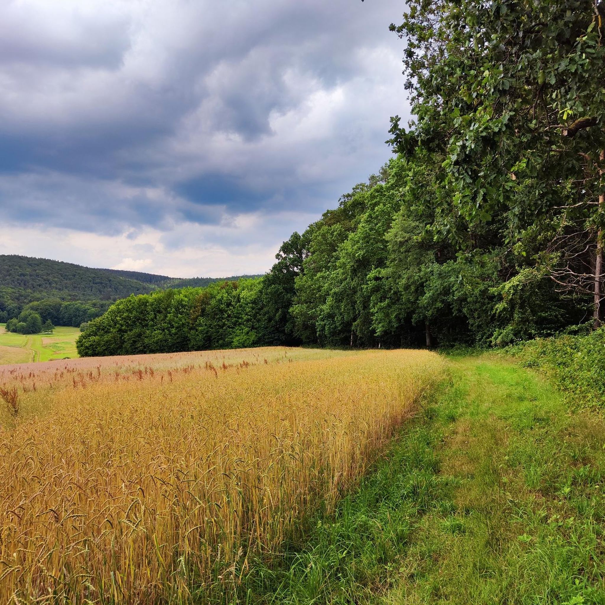
Tips from the Community

Even invites you to swim on hot days ;)
1
0

Storks can often be observed!
1
0

The Kinzig is a river approximately 86 kilometers long. It rises in Sterbfritz, flows southwest through the Main-Kinzig district of Hesse, and flows into the Main from the right in Hanau. The Kinzig is a second-order river in low mountain ranges. It overcomes an elevation of 301 meters and has a bed gradient of 3.5 per thousand. The Kinzig's catchment area covers 1,058 square kilometers, and the calculated mean discharge (MQ) at the mouth of the Kinzig is 10.97 cubic meters per second. The Kinzig was first documented in 796 as "iuxta fluvium Kincihen." In 815, the name was written as "Chinzicha," around 900 as "Kincicha"/"Kinzicham," in 1364 as "Kinzige," in 1584 as "Kintzig," in 1607 as "Bintz," in 1681 as "Kintz," in 1716 as "Kins," in 1769 as "Kinzing," and in 1802 as "Kinzig." In the river's headwaters, there was the now-defunct village of Kinzig, mentioned in 815 as "Chirizichheimero." The village and river were often confused by monastery scribes at that time with "Chizzicha" (now Bad Kissingen), both of which were described as being located in the Saalegau. The name presumably derives from the ancient Celtic *ku̯anti̯o- meaning "flat hill, valley." The name was therefore derived from the mountainous region from which the Kinzig flows. Source: Wikipedia
2
0
The Kinzig is a river approximately 86 kilometers long. It rises in Sterbfritz, flows southwest through the Main-Kinzig district of Hesse, and flows into the Main from the right in Hanau. The Kinzig is a second-order river in low mountain ranges. It overcomes an elevation of 301 meters and has a bed gradient of 3.5 per thousand. The Kinzig's catchment area covers 1,058 square kilometers, and the calculated mean discharge (MQ) at the mouth of the Kinzig is 10.97 cubic meters per second. The Kinzig was first documented in 796 as "iuxta fluvium Kincihen." In 815, the name was written as "Chinzicha," around 900 as "Kincicha"/"Kinzicham," in 1364 as "Kinzige," in 1584 as "Kintzig," in 1607 as "Bintz," in 1681 as "Kintz," in 1716 as "Kins," in 1769 as "Kinzing," and in 1802 as "Kinzig." In the river's headwaters, there was the now-defunct village of Kinzig, mentioned in 815 as "Chirizichheimero." The village and river were often confused by monastery scribes at that time with "Chizzicha" (now Bad Kissingen), both of which were described as being located in the Saalegau. The name presumably derives from the ancient Celtic *ku̯anti̯o- meaning "flat hill, valley." The name was therefore derived from the mountainous region from which the Kinzig flows. Source: Wikipedia
3
0

A very nice bike path
3
0

The R3 cycle path is a great cycle path in the Kinzig Valley. Most sections have a very good asphalt surface. The signage is also great.
4
1
It is a great place to cycle all year round.
3
0
Of course, it is a lot of fun to cycle along the great cycle path along the Kahl when the sun is shining.
6
1
Frequently Asked Questions
What natural landmarks or scenic viewpoints can I explore in Westerngrund?
Westerngrund is nestled in the picturesque Westerngrund Dale within the Spessart region, offering diverse natural beauty. A prominent viewpoint is the Ludwig Tower (Hahnenkamm), which provides a great panoramic view. The Kinzig Floodplains are also noted for their natural setting, ideal for cycling year-round.
Are there any historical sites or cultural points of interest in Westerngrund?
Yes, Westerngrund holds historical significance. From 2013 to 2020, it was home to the geodetic center of the European Union, marked by a dedicated monument site. The area also has a history of silver and copper mining, particularly around Huckelheim, contributing to its industrial heritage. The municipality itself was formed from the historic villages of Huckelheim, Oberwestern, and Unterwestern, each with its own past.
What cycling opportunities are available around Westerngrund?
The region offers excellent cycling routes. The Kahltal Cycle Path near Michelbach is particularly popular, known for being nicely laid out with numerous places to stop and rest. The Kinzig Floodplains also provide a flat terrain perfect for cycling. You can find various cycling routes, including easy ones like the "Kahl River at Langenborn – Kahlgrund Cycle Path loop from Westerngrund," by exploring the Cycling around Westerngrund guide.
Are there family-friendly attractions or activities in Westerngrund?
Many attractions and activities around Westerngrund are suitable for families. The Ludwig Tower (Hahnenkamm) and Hahnenkamm Mountain Inn are considered family-friendly. The Kahltal Cycle Path near Michelbach and the Kinzig Floodplains offer enjoyable and easy cycling experiences for all ages. Additionally, many hiking routes in the area are designed to be accessible for families.
Where can I find good hiking trails near Westerngrund?
Westerngrund is an excellent starting point for hiking. The Hahnenkamm Ridge Trail offers scenic routes, and the wider Spessart region provides diverse landscapes for exploration. You can find various hiking options, from easy to moderate, such as the "Chapel in Huckelheim – Bench With Three Heart Cutouts loop from Westerngrund" or the "Path to Franzosenkopf – Franzosenkopf (481 m) loop from Huckelheim." Explore more trails in the Hiking around Westerngrund guide.
What makes the Hahnenkamm area a popular spot for visitors?
The Hahnenkamm area is popular for its combination of scenic views and amenities. The Ludwig Tower (Hahnenkamm) offers a fantastic panoramic view. Right next to it, the Hahnenkamm Mountain Inn is a beloved spot for good food and value for money, making it a perfect stop after exploring the trails. It's a cherished destination for many outdoor enthusiasts.
Are there options for dining or refreshments near the attractions?
Yes, visitors can find dining options, especially near popular spots. The Hahnenkamm Mountain Inn is highly recommended for its good food and value, conveniently located near the Ludwig Tower. The Kahltal Cycle Path near Michelbach also features numerous places to stop and rest along its route.
Can I bring my dog to outdoor activities and trails in Westerngrund?
The Spessart region, including Westerngrund, is generally welcoming to dogs on its numerous hiking and cycling trails. Many natural areas and paths are suitable for dog walking, allowing you to enjoy the outdoors with your pet. Always ensure your dog is on a leash where required and respect local regulations.
What is the Rodfeldturm Observation Tower and what views does it offer?
The Rodfeldturm Observation Tower provides an excellent view, allowing visitors to see as far as the Taunus mountains and clearly spot Ronneburg Castle. It offers a beautiful perspective of Freigericht and the surrounding landscape, with a nearby country inn inviting visitors to stop for refreshments.
What are the best outdoor activities to do in the Westerngrund area?
The Westerngrund area is ideal for various outdoor activities, primarily hiking and cycling. The Spessart region offers diverse landscapes for exploration, with numerous trails catering to different fitness levels. Popular activities include cycling along the Kahltal Cycle Path, exploring the Hahnenkamm Ridge Trail, and enjoying the natural beauty of the Kinzig Floodplains. Running trails are also available, such as those found in the Running Trails around Westerngrund guide.
What do visitors enjoy most about the attractions around Westerngrund?
Visitors particularly appreciate the scenic views, the well-maintained trails, and the welcoming atmosphere. The panoramic views from the Ludwig Tower are a highlight, as is the good food and value at the Hahnenkamm Mountain Inn. The Kahltal Cycle Path is praised for its pleasant layout and rest stops, making it a favorite for cyclists. The overall blend of natural beauty and recreational opportunities is highly valued.
Most popular routes around Westerngrund
Most popular attractions around Westerngrund

Get inspired with the komoot mobile app


Explore more
Still not found the Highlight you’re looking for? See guides of the top attractions in other regions:
