The 12 Most Amazing Peaks around Cound
Best mountain peaks around Cound are found within the surrounding Shropshire landscape, as Cound itself is situated on a low-lying flood plain. This area is characterized by notable hills and ranges, including an extension of the Pre-Cambrian Longmyndian range. Significant geographical features like The Wrekin and the Long Mynd offer diverse terrain for outdoor activities. These hills provide a range of hiking trails near Cound Shropshire, showcasing the region's natural beauty and geological history.
Best mountain peaks around Cound
- The…
Last updated: August 27, 2026
Caer Caradoc
Highlight • Climb
Tip by

The Wrekin summit
Highlight • Summit
Tip by

Sign up now to discover places like this
Get recommendations on the best single tracks, peaks, & plenty of other exciting outdoor places.
Sign up for free
Lawley Ridge
Highlight • Trail
Tip by

Wellington Rotary Toposcope on the Wrekin
Highlight • Monument
Tip by

Battle Stones on Willstone Hill
Highlight • Natural Monument
Though their name has been documented since 1623, the historical accounts of …
Tip by

Sign up for free to discover even more peaks around Cound.
Sign up for free
Already have an account?
Start today with a free account
Your next adventure awaits.
Login or Signup
Tips from the Community

The Lawley 377m P106 (1237ft) [List Objective: English Humps] (DoBIH Hill ID: 5352) [JNSA 10713] TP6398 - The Lawley S4721 Remains Shropshire National Landscape Trig Pillar List. Shropshire National Landscape Definitive List summit.
0
0
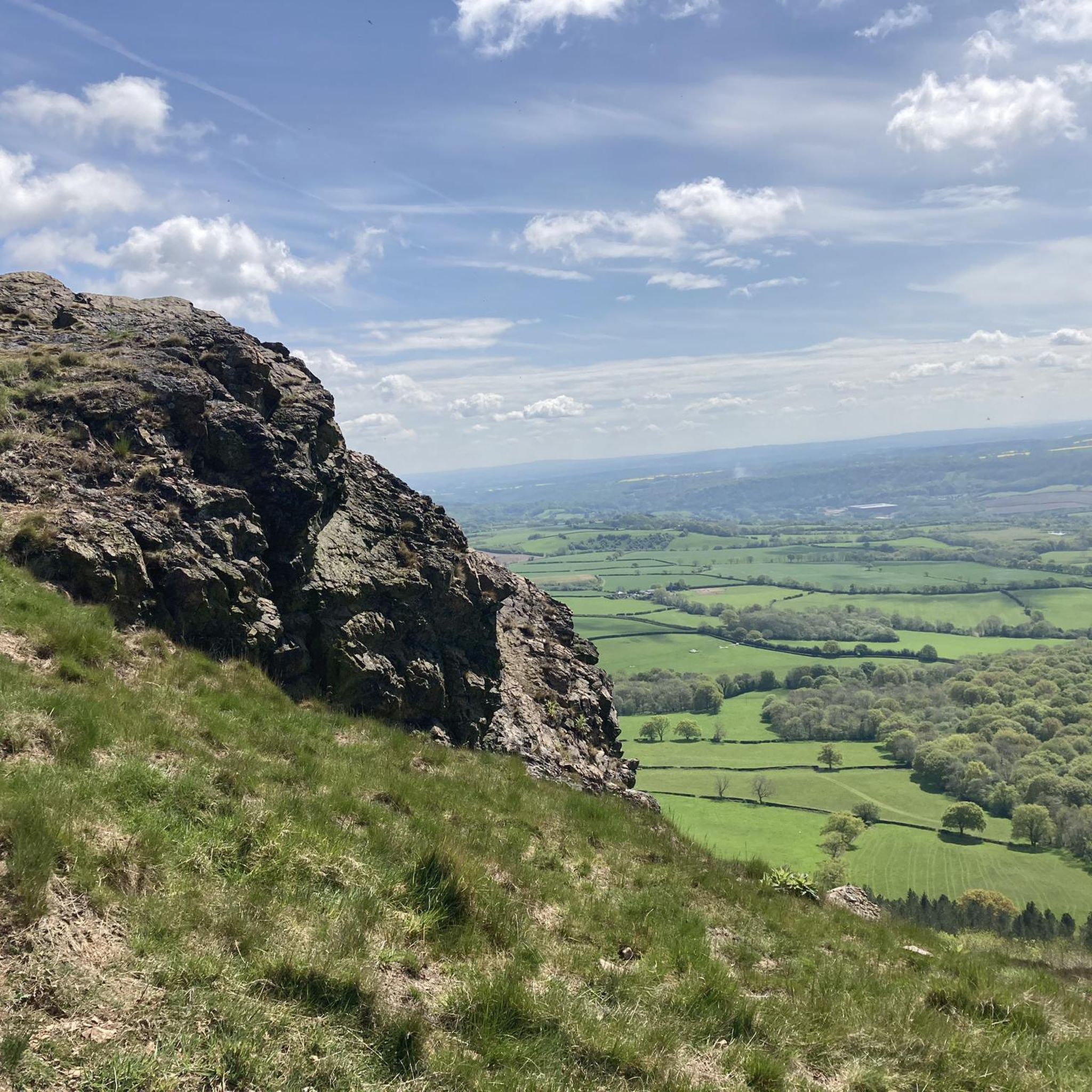
Caer Caradoc Hill 459.5m P273.3 (1507ft) [List Objective: English Humps] (DoBIH Hill ID: 2841) [JNSA 8325] Shropshire National Landscape Definitive List summit.
0
0


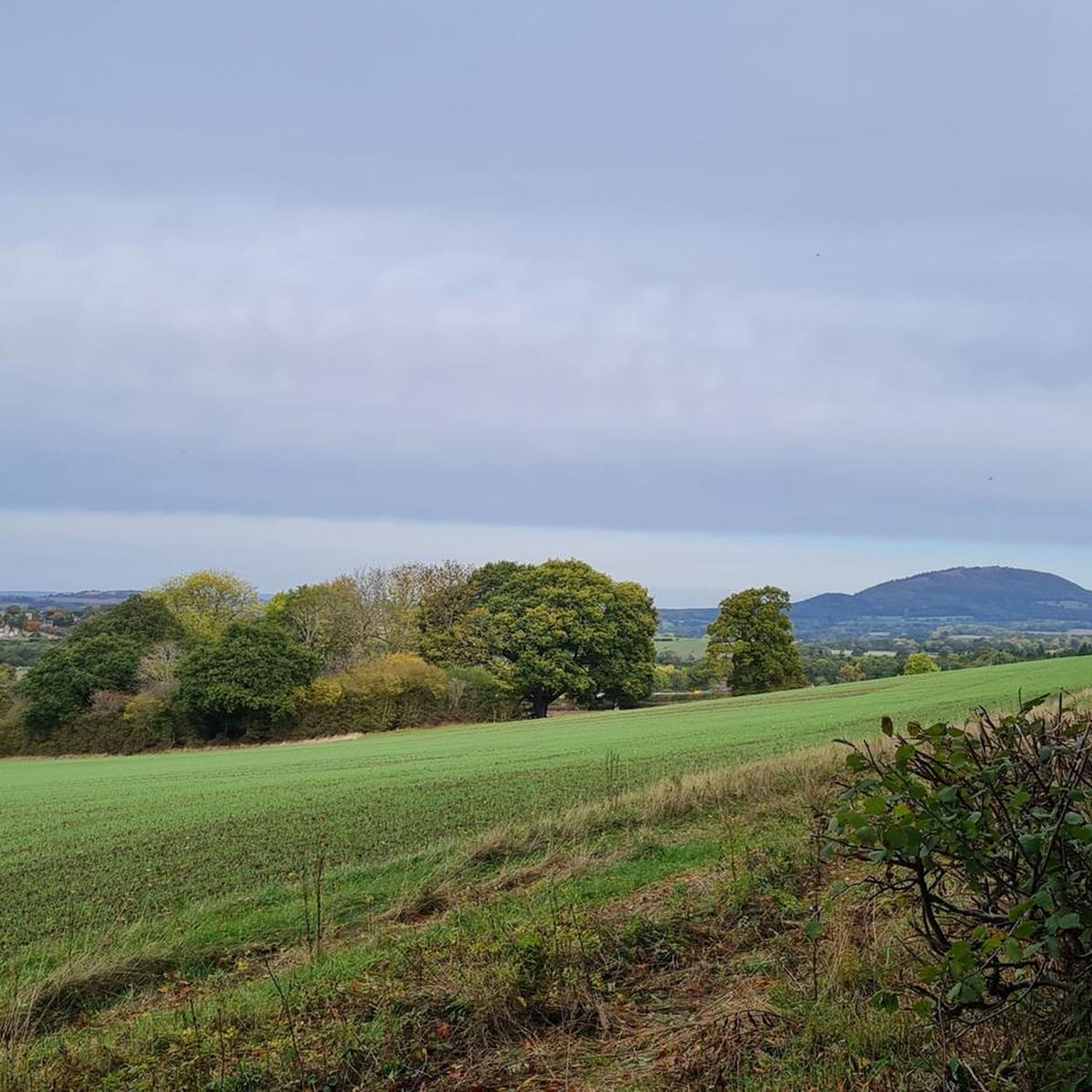
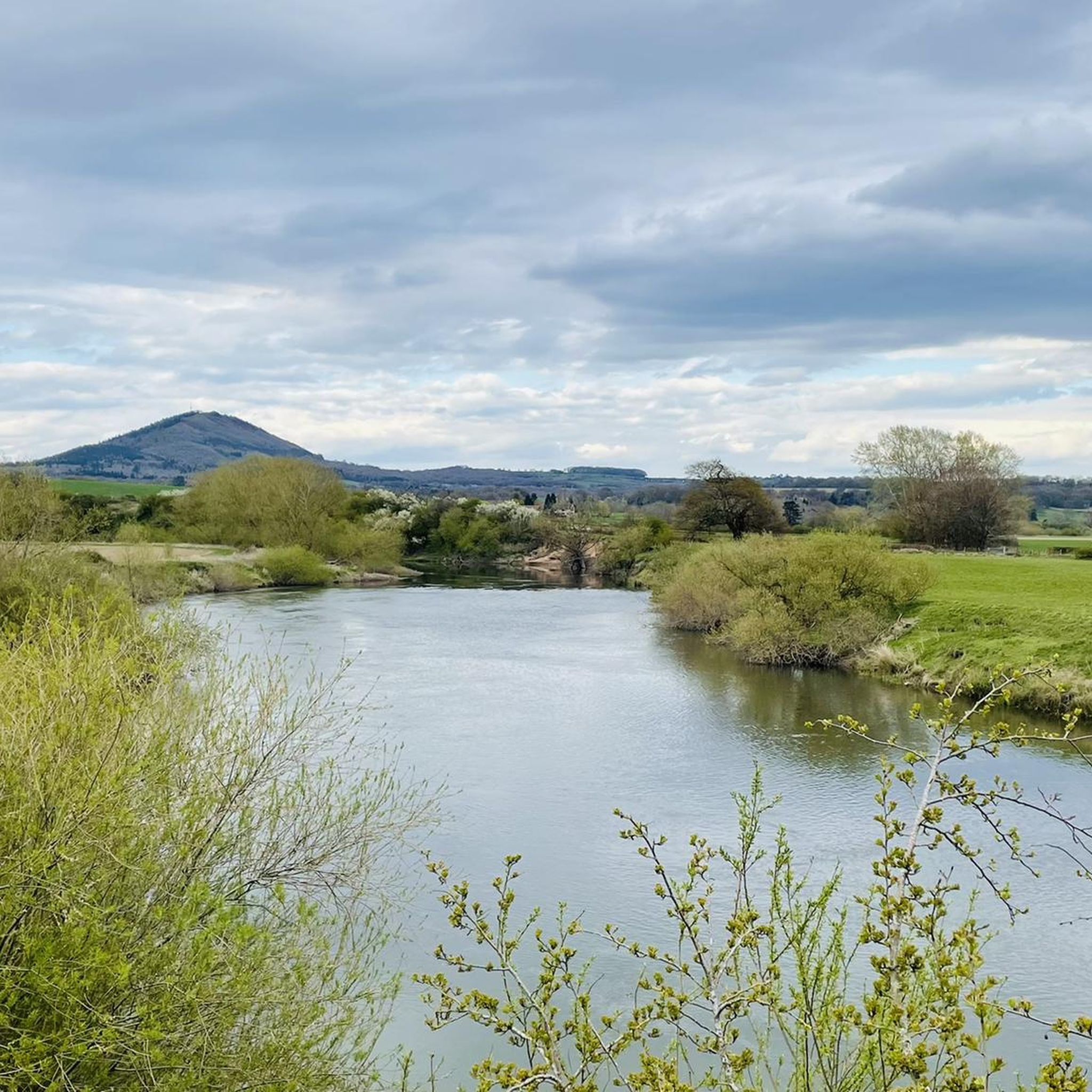
The Battle Stones, situated on Willstone Hill adorn the ridge between the towns of Church Stretton and Cardington. Though their name has been documented since 1623, the historical accounts of a battle or skirmish during the Roman invasion remain unverified. The spot is an excellent viewpoint, capturing The Lawley ridge and the iconic pudding-basin-shaped hill, The Wrekin, on the horizon.
3
0


Frequently Asked Questions
What are the most popular mountain peaks around Cound?
The most popular peaks in the Shropshire area surrounding Cound include Caer Caradoc, known for its distinctive shape and challenging climb, and The Wrekin summit, which dominates the countryside and offers spectacular views. Another highly regarded spot is Lawley Ridge, providing a sublime ridge walk with far-reaching views.
What kind of terrain can I expect when hiking the peaks near Cound?
The terrain around Cound's peaks varies. For instance, Caer Caradoc features steep sides and jagged volcanic crags, making for a challenging climb. The Wrekin summit has a well-surfaced main path, though the start is steep. Lawley Ridge offers an enjoyable, free-striding ridge walk that is not overly technical or narrow. Generally, you'll encounter a mix of challenging ascents and more moderate ridge walks.
Are there historical sites to explore on the mountain peaks near Cound?
Yes, several peaks offer significant historical interest. The Wrekin summit is the site of an Iron Age hill fort, and the nearby The Wrekin Hillfort provides a rich history dating back to the Iron Age, with ramparts, a Bronze Age barrow, and a holy well. Caer Caradoc also has historical associations, including an Iron Age hill fort.
Which peaks offer the best panoramic views around Cound?
For breathtaking panoramic views, Caer Caradoc rewards climbers with vistas over Long Mynd, The Lawley, and Church Stretton. The Wrekin summit also provides spectacular views of the surrounding countryside on a clear day. Lawley Ridge is praised for its far-reaching views across the Shropshire plains.
What outdoor activities are available near Cound's peaks besides hiking?
Beyond hiking, the area around Cound offers various outdoor activities. You can explore gravel biking routes, with options ranging from easy to difficult. There are also numerous cycling routes suitable for touring bicycles, taking you through the scenic Shropshire landscape.
Are there specific hiking trails recommended for beginners near Cound?
While some peaks like Caer Caradoc and The Wrekin summit involve challenging sections, there are easier options available in the wider area. For instance, the hiking guide around Cound lists easy routes such as the 'Attingham Park Stable Block – Attingham Hall loop from Atcham', which is just over 4 km. It's advisable to check individual route details for difficulty.
What is the highest point in the Shropshire area surrounding Cound?
The highest point in Shropshire, which is the broader area encompassing Cound's peaks, is Brown Clee Hill, standing at 1,772 feet (540 meters). While not directly adjacent to Cound, it is a significant feature of the regional landscape.
What makes Caer Caradoc a distinctive peak to visit?
Caer Caradoc is distinctive due to its unique shape, characterized by jagged volcanic crags erupting from its steep sides. Despite not being the tallest, its character and the challenging climb to its 1,506-foot (459 m) summit make it a memorable experience, offering breathtaking panoramic views.
What is the significance of The Wrekin summit?
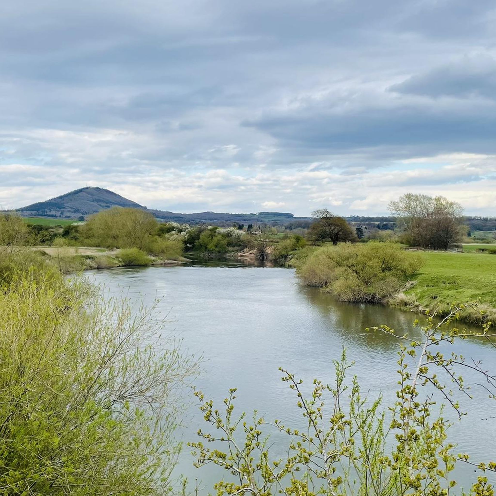
The Wrekin summit is a natural monument that prominently dominates the Shropshire countryside. It's not only a popular hiking destination offering spectacular views but also holds historical significance as the site of an Iron Age hill fort. There's even a local saying, 'round the Wrekin,' referring to taking the long way around.
Are there any unique features or monuments on The Wrekin?
Yes, on The Wrekin summit, you can find the Wellington Rotary Toposcope. This large steel disc, commissioned in 1977, is inscribed with 41 locations and their distances from the Wrekin, providing an interesting point of reference for the surrounding landscape. The summit also features the extensive remains of an Iron Age hill fort.
What do visitors particularly enjoy about the mountain peaks around Cound?
Visitors to the peaks around Cound frequently highlight the stunning panoramic views, especially from summits like Caer Caradoc and The Wrekin. The challenging yet rewarding climbs, the rich historical context of sites like the Iron Age hill forts, and the diverse natural beauty of the Shropshire countryside are also highly appreciated. Many enjoy combining walks over multiple ridges, such as Caer Caradoc and Lawley Ridge, for a full day's outing.
Where does the Cound Brook originate, and are there hills associated with it?
The Cound Brook, an important local tributary of the River Severn, rises in the Stretton Hills. These hills are located about fifteen miles to the southwest of Cound, contributing to the diverse geological landscape of the wider Shropshire area.
Most popular attractions around Cound

Get inspired with the komoot mobile app


Explore more
See even more amazing summits around Cound with these guides:
