The best cycling routes around Stottesdon
3.9
(22)
573
riders
89
rides
Touring cycling routes around Stottesdon traverse a landscape characterized by rolling hills, quiet rural lanes, and sections bordering woodlands. The region features a mix of agricultural land and small villages, offering varied scenery for cyclists. Elevation changes are generally moderate, with some routes incorporating gentle climbs and descents. The area provides a network of paths suitable for exploring the Shropshire countryside.
Best touring cycling routes around Stottesdon
- The most popular touring cycling route is Burwarton Estate Track – Aston Botterell…
Last updated: September 25, 2026
3
riders
17.2km
01:08
200m
190m
Moderate bike ride. Good fitness required. Mostly paved surfaces. Suitable for all skill levels.
4
riders
28.7km
01:54
370m
370m
Moderate bike ride. Good fitness required. Mostly paved surfaces. Suitable for all skill levels.

4.0
(1)
3
riders
24.9km
01:40
360m
360m
Moderate bike ride. Good fitness required. Mostly paved surfaces. Suitable for all skill levels.
1
riders
58.2km
04:09
740m
740m
Hard bike ride. Very good fitness required. Mostly paved surfaces. Suitable for all skill levels.
3
riders
21.8km
01:31
370m
370m
Moderate bike ride. Good fitness required. Mostly paved surfaces. Suitable for all skill levels.
Get access to more routes and recommendations from other explorers.
Already have an account?
Our route recommendations are based on thousands of hikes, rides, and runs completed by other people on komoot.
Start today with a free account
Your next adventure awaits.
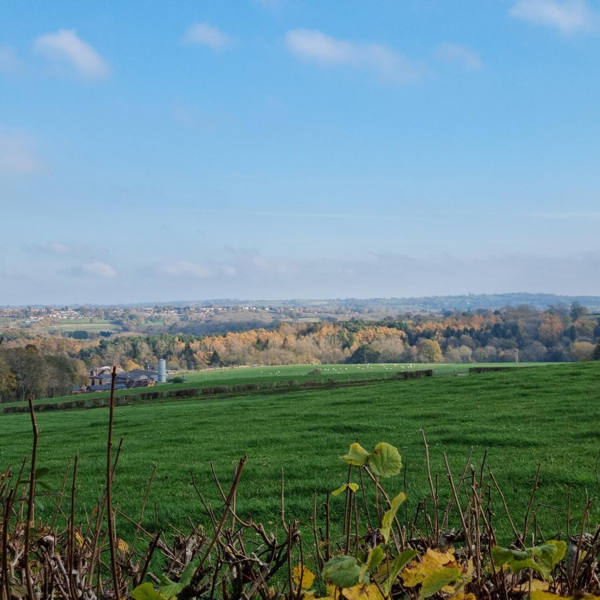
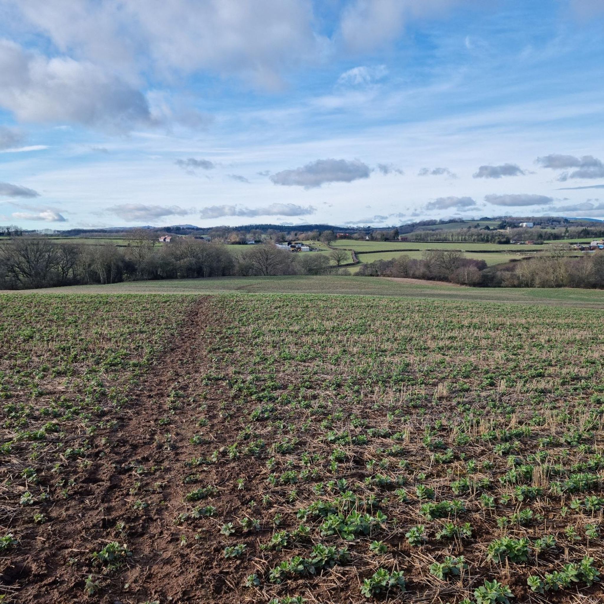
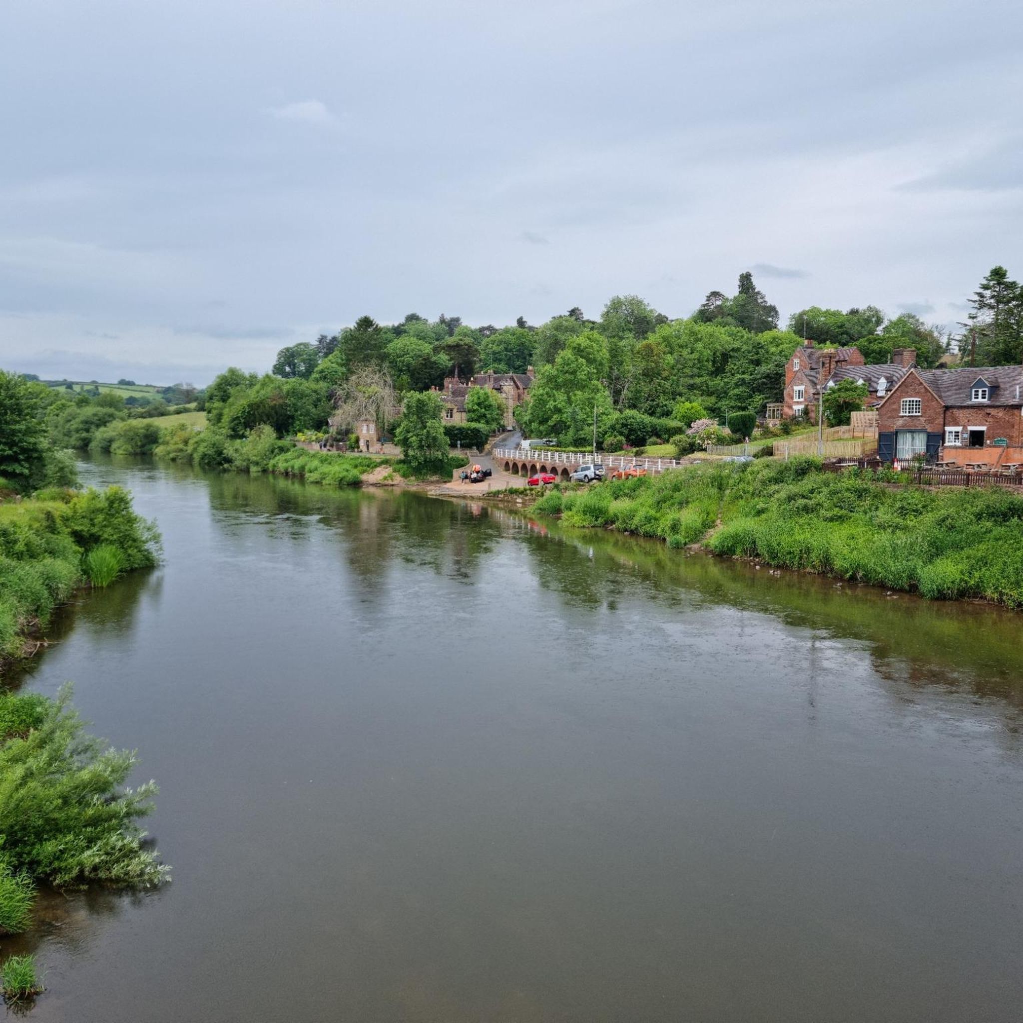
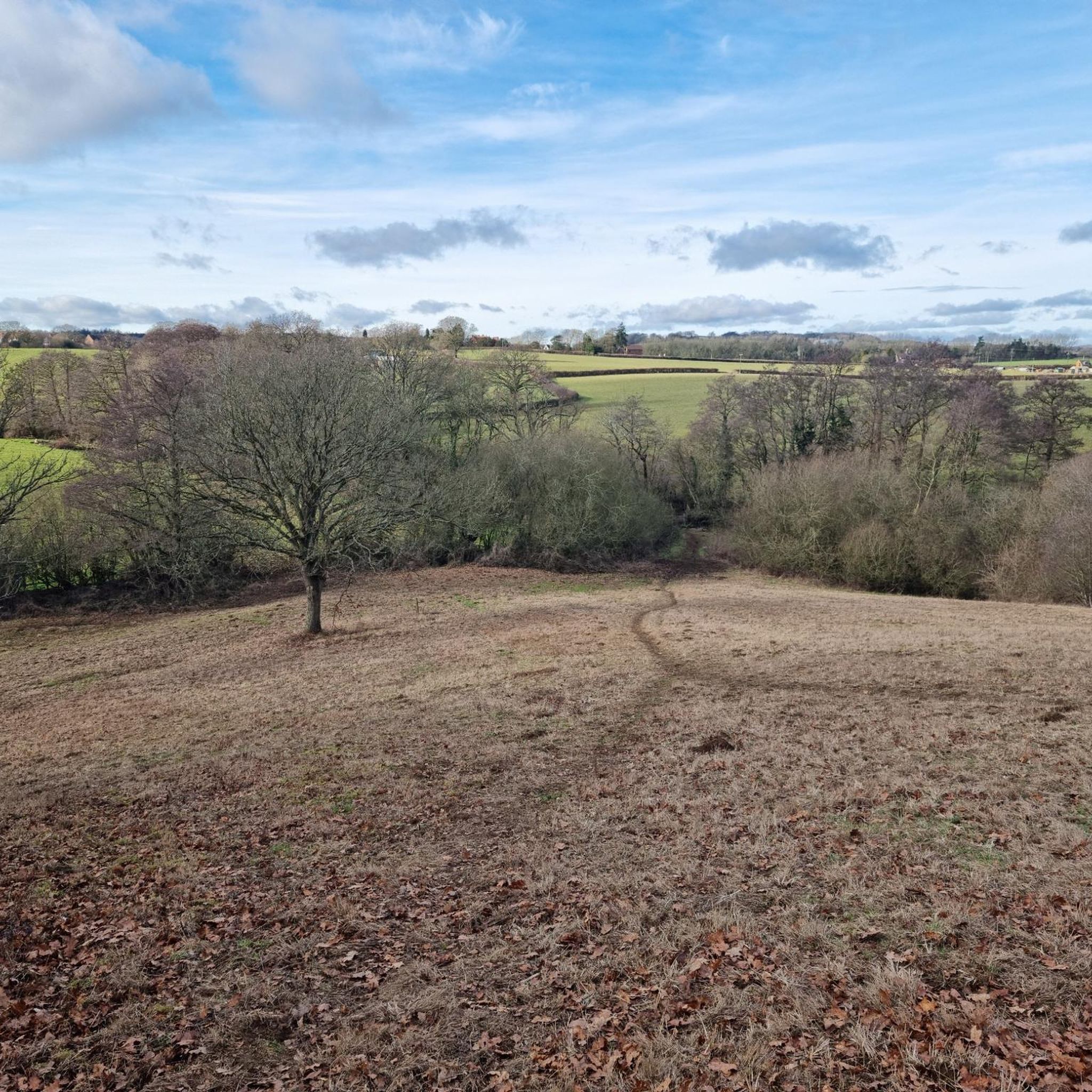

Tips from the Community


Billingsley Colliery was the furthest from Highley, at a distance a little over 2 miles to the west. Mining on the site began during the late 18th century, almost 100 years before Highley, but a number of companies successively failed to make a go of the venture. In 1910 the Billingsley Colliery Company was formed to buy the colliery. At the time the Wellington Journal & Shrewsbury News reported that the new company was ‘about to lay down a line of railway to connect its mineral property with the Severn Valley Line at Eardington’. In the event, the route of the line joined the existing Kinlet Railway, connecting to the Severn Valley Railway via the same sidings as Kinlet Colliery. In 1915 the colliery was sold to the Highley Mining Company. The government increased its control over mines and mineral resources during the First World War and while under government control, wages, hours and safety improved. By 1921 around 250 were employed at Billingsley. Prime Minister David Lloyd George’s decision to return the mines to their original owners in 1921, with the likely reversal of these benefits, brought about a miners’ strike. During that strike, Billingsley Colliery closed.
0
0

let the little ones finally use up any remaining energy to encourage a quiet drive back.🤣
0
1
Sculpture of miner standing in colliery lift cage under a clock tower in the former colliery. Sculpture created by David Howorth 1999.
0
0
Highley Church is the oldest building in the village. The earliest parts were built when the creation of the Domesday book was still in living memory, in the early 1100s. The Normans built most of the present chancel and nave . Although within 150 years there were complaints that the building was falling down, much of this early work does survive, especially some of the windows and doors. In the 1300’s a series of bad harvests and epidemics devastated much of England. Shropshire took several generations to recover and it was not until the next century that major work again took place on the church. The tower was put up, the walls were raised and finally, perhaps in the early 1500’s, a fine new wooden ceiling was installed. These events took place against the background of the Wars of the Roses; Highley belonged to the powerful Mortimer family and eventually became the property of the victorious Tudor kings. In spite of the violence of those times there must have been prosperous farmers and gentry in Highley who could spend money on the church. Over the following centuries the roof was altered, the interior was remodelled, a gallery was fitted and removed and the church has been repaired and restored. Every age has left its mark. The church can be reached by a walk of about 15 minutes, up the road from the Station (see the Guided Walk leaflets). It is usually open and visitors can explore its history in more detail, or simply enjoy its tranquillity.
0
0
Frequently Asked Questions
How many touring cycling routes are available around Stottesdon?
There are over 90 touring cycling routes in the Stottesdon area, offering a wide range of options for exploring the Shropshire countryside.
What kind of scenery can I expect while cycling around Stottesdon?
Touring cycling routes around Stottesdon traverse a landscape characterized by rolling hills, quiet rural lanes, and sections bordering woodlands. You'll experience a mix of agricultural land and small villages, providing varied scenery throughout your ride.
Are there easy touring cycling routes suitable for beginners in Stottesdon?
Yes, Stottesdon offers 8 easy touring cycling routes, perfect for beginners or those looking for a more relaxed ride. These routes generally feature moderate elevation changes, making them accessible for various fitness levels.
Are there family-friendly touring cycling routes in Stottesdon?
While specific 'family-friendly' routes aren't explicitly categorized, the 8 easy routes available in Stottesdon are generally suitable for families. These routes often follow quiet rural lanes, providing a safer and more enjoyable experience for all ages.
What is the general difficulty level of touring cycling routes in Stottesdon?
The majority of touring cycling routes in Stottesdon are classified as moderate, with 51 routes falling into this category. There are also 38 difficult routes for more experienced cyclists, and 8 easy routes for beginners.
Are there many circular touring cycling routes in Stottesdon?
Many of the touring cycling routes around Stottesdon are designed as loops, allowing you to start and finish in the same location. For example, the Burwarton Estate Track – Aston Botterell loop from Cleobury North is a popular circular option.
What are some interesting landmarks or natural features to see along the touring cycling routes?
While cycling, you can explore several notable natural and historical sites. Highlights include the Abdon Burf Summit, offering expansive views, and Titterstone Clee Hill summit. You might also encounter the Clee Burf, a historical site, or the Worcestershire Natural Flood Management Project – Leaky Dams in Wyre Forest.
What do other touring cyclists enjoy most about cycling in Stottesdon?
The touring cycling routes in Stottesdon are highly rated by the komoot community, with an average score of 4.0 stars from over 30 reviews. Cyclists often praise the quiet rural lanes, varied terrain, and the scenic loops through estate tracks and village surroundings.
Are there any longer touring cycling routes for experienced riders?
Yes, for experienced riders seeking a longer challenge, routes like the Stourport Canal Tunnel – Wyre Forest loop from Billingsley offer a substantial distance of over 58 km with significant elevation gain, taking you through diverse landscapes including the Wyre Forest.
What is the best time of year to go touring cycling in Stottesdon?
The Stottesdon area, like much of Shropshire, is enjoyable for cycling from spring through autumn. Spring brings blooming wildflowers, while autumn offers beautiful foliage. Summer provides longer daylight hours. Always check local weather forecasts before heading out, as conditions can vary.
Are there touring cycling routes in Stottesdon that include pub stops?
While specific routes aren't designed around pub stops, the routes often pass through or near small villages. You can plan your ride to incorporate stops at local pubs or cafes in places like Stottesdon village or Aston Botterell, which are often found along or close to the cycling paths.
Where can I find parking when planning a touring cycling trip to Stottesdon?
Parking is typically available in the villages and towns that serve as starting points for many routes, such as Cleobury North or Highley. Look for public car parks or designated parking areas within these communities. Always check local signage for any restrictions or fees.
Most popular attractions around Stottesdon

Get inspired with the komoot mobile app


Explore more
Browse the best Cycling routes in other regions.
