The best MTB trails around Ingol And Tanterton
4.3
(88)
249
riders
18
rides
Mountain biking around Ingol And Tanterton features a diverse landscape, characterized by riverside paths along the Ribble, historic canal towpaths, and routes around local reservoirs. The terrain includes gentle gradients suitable for easy rides, as well as more undulating paths leading to local hills like Beacon Fell. This area offers a mix of urban-adjacent green spaces and more open countryside, providing varied backdrops for mountain bike trails.
Best mountain bike trails around Ingol And Tanterton
- The most popular mountain bike…
Last updated: September 28, 2026
4.2
(72)
185
riders
35.1km
01:58
160m
160m
Easy mountain bike ride. Great for any fitness level. Suitable for all skill levels.
4.2
(6)
12
riders
Easy mountain bike ride. Great for any fitness level. Suitable for all skill levels.

4.3
(3)
7
riders
51.4km
03:39
680m
680m
Moderate mountain bike ride. Good fitness required. Suitable for all skill levels.
4.0
(2)
14
riders
21.3km
01:12
100m
100m
Easy mountain bike ride. Great for any fitness level. Suitable for all skill levels.
5.0
(1)
4
riders
40.2km
02:20
320m
320m
Moderate mountain bike ride. Good fitness required. Suitable for all skill levels.
Get access to more routes and recommendations from other explorers.
Already have an account?
Our route recommendations are based on thousands of hikes, rides, and runs completed by other people on komoot.
Start today with a free account
Your next adventure awaits.
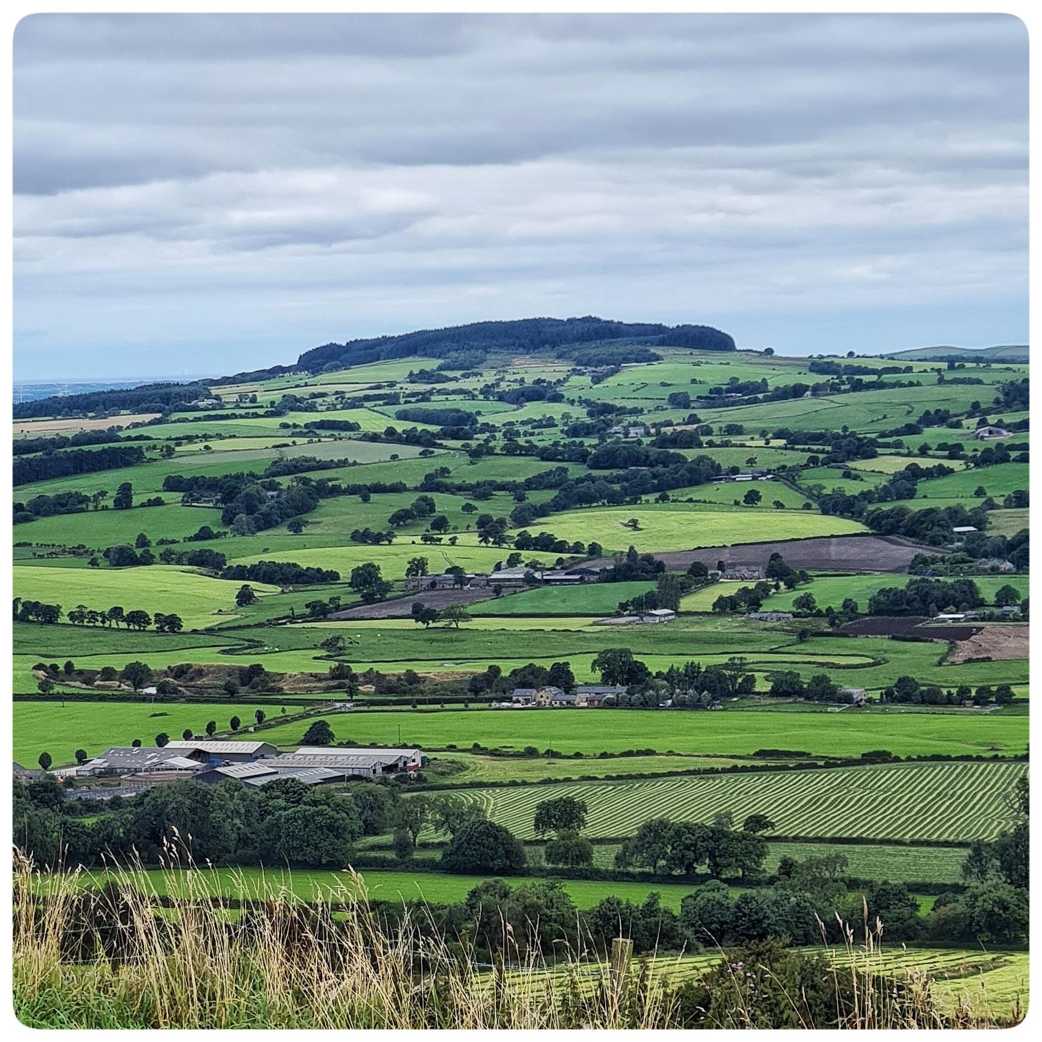
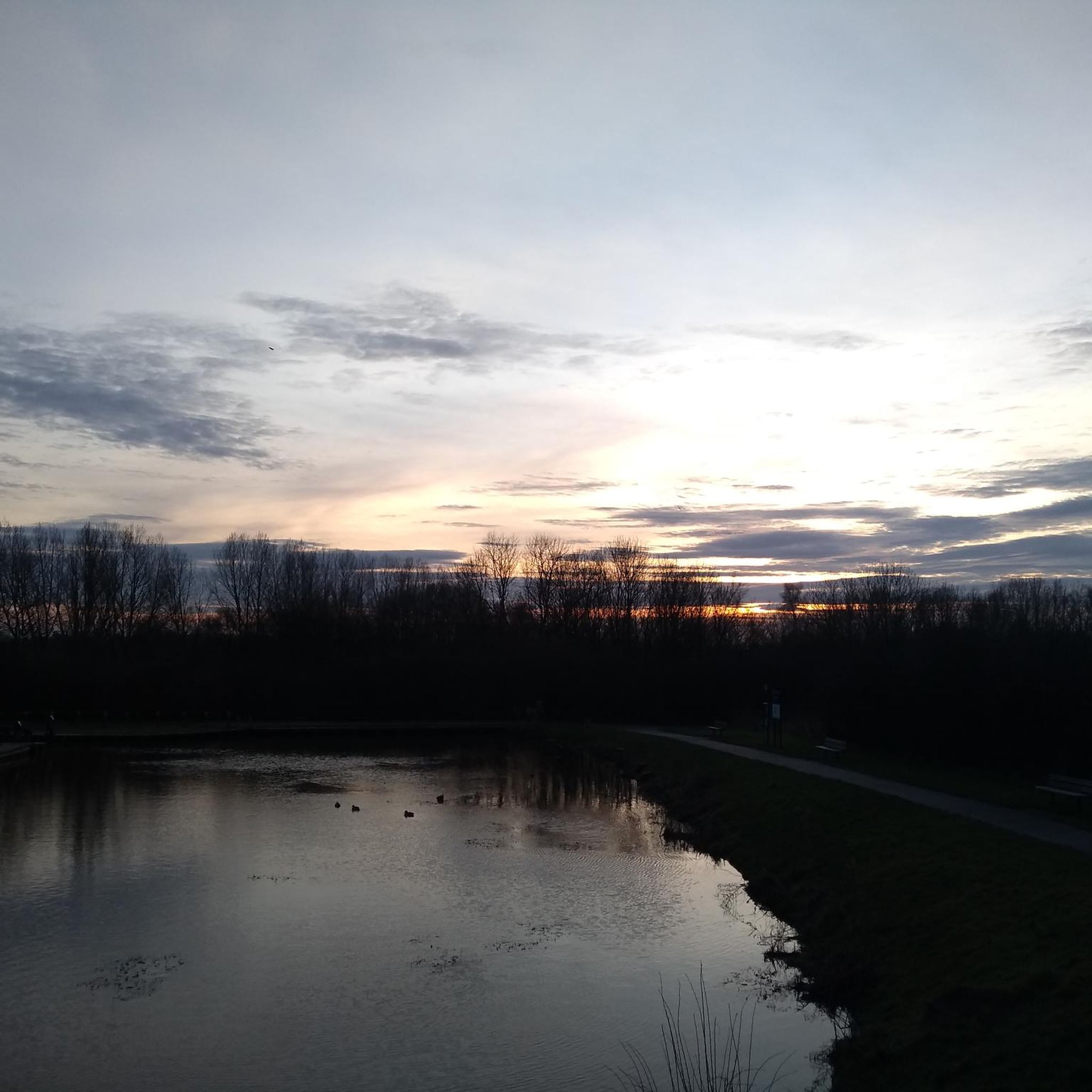
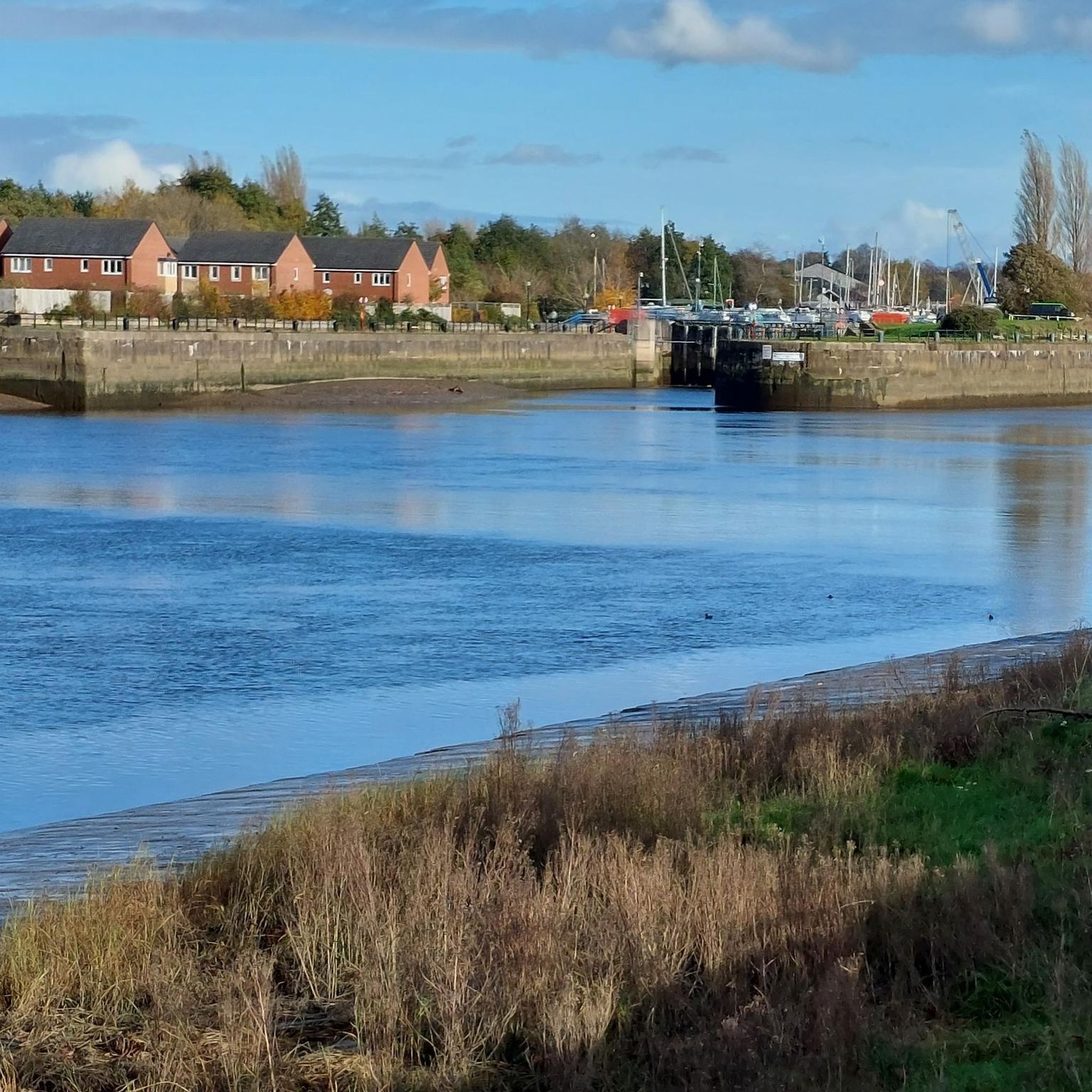
Tips from the Community

TP1096 - Beacon Fell | Trig Point | TrigpointingUK | TrigpointingUK https://share.google/cOJhenoIPjzqz6JKJ
0
0

Bridleway. A well used, rutted trail
0
0


The Horrobin embankment separates the upper and lower Rivington Reservoirs. It carries Horrobin Lane across the reservoir, providing a useful link for a walk. The reservoirs were built to supply water to Liverpool.
0
0

Tip5 Alternative Start Points with Parking for the 4 Tours Tour1 The Marina Carpark at Preston Marina The Marina Carpark Position is: 53.761540,-2.738572 Either: Paste the above line into the Google Maps app "Search here" box and then search - click the magnifying glass icon. Or: open your web browser and search for Google Maps 53.761540,-2.738572 Ashton Park Car Parks Link: Ashton Park Highlight https://www.komoot.com/highlight/5137829 Highlight7 on the Tour1 map
0
0

Upper Rivington Reservoir lies at the heart of the Rivington chain on the West Pennine Moors. The reservoir features an island, a bridleway, and a residence known as The Street along its side.
1
0
Tip4 Part (a) below explains the use of a split-screen using 2 web browsers. In Part (b), a practical example, you can use either the single web browser or the 2 web browsers method. (a) How To View In Split-Screen on Windows Using Two Web Browsers - example Microsoft Edge and Chrome. This method is similar to and slightly easier than the method in Tip3, part b). Open this highlight in both web browsers on the Windows PC. Their icons will be visible on the Windows taskbar. Then display one browser on the left side of the screen and one on the right. Open this highlight in both web browsers on the Windows PC. Their icons will be visible on the Windows taskbar. Then display one browser on the left side of the screen and one on the right. (b) Practical Use of a Split Screen Use a split screen to practise zooming into and out of a photo in a slide show. Create a split screen on an Android phone. On one half display the instructions in Tip1 on how to Enlarge a Photo in a Slideshow. Use e.g. a Chrome or Firefox browser on the other half to open the slideshow and display photo3 in the Chrome or Firefox browser. Then practise zooming in and out of photo3. Similarly, using a Windows PC and Photo3 practise the Windows PC instructions on how to zoom-in and out.
0
0
Frequently Asked Questions
What types of mountain bike trails can I find around Ingol And Tanterton?
The area offers a diverse range of mountain bike trails, from gentle riverside paths along the Ribble and historic canal towpaths to more undulating routes leading to local hills like Beacon Fell. You'll find a mix of urban-adjacent green spaces and open countryside, catering to various preferences.
Are there easy mountain bike trails suitable for beginners in Ingol And Tanterton?
Yes, there are several easy trails perfect for beginners. For example, the Avenhill and Miller Park, Ribble Steam Railway and Preston Guild loop is an easy 35 km route that combines urban parks with scenic riverside sections. Another accessible option is the Ribble Steam Railway loop from South Ribble, which is just over 20 km.
What are some more challenging mountain bike routes in the area?
For those seeking a moderate challenge, consider the Roddlesworth Reservoirs – Ice Cream Chute Downhill Trail loop from Bamber Bridge. This 51.7 km route explores the reservoir area and includes a notable downhill section. Another moderate option is the Beacon Fell Summit Trig Point – Beacon Fell loop from Lea, a 40 km trail through woodland and open fellside.
Are there family-friendly mountain bike routes in Ingol And Tanterton?
Many of the easier trails are suitable for families, especially those along canal towpaths and riverside sections which often feature gentler gradients. The Avenhill and Miller Park, Ribble Steam Railway and Preston Guild loop is a great choice, offering urban parks and views of the Ribble Steam Railway that can be engaging for all ages.
What is the average length and duration of mountain bike trails in Ingol And Tanterton?
The mountain bike trails in Ingol And Tanterton vary in length. Easy routes can be around 20-35 km, taking 1 to 2 hours to complete. Moderate trails can extend to 40-50 km, with durations of 2 to 3.5 hours or more, depending on your pace and the terrain.
Are there circular mountain bike routes available?
Yes, many of the popular mountain bike trails in Ingol And Tanterton are circular, allowing you to start and finish at the same point. Examples include the Withnell Canal Towpath Access – Hoghton Tower War Memorial loop from Lostock Hall and the Beacon Fell Summit Trig Point – Beacon Fell loop from Lea.
What can I see along the mountain bike trails in Ingol And Tanterton?
You can encounter various points of interest. Along some routes, you might pass by the Ribble Steam Railway, offering a glimpse into local heritage. Nature lovers can explore areas near Brockholes Nature Reserve or Haslam Park Nature Reserve. The Ribble Link Staircase Locks and Holding Basin is another interesting feature along the river.
What do other mountain bikers enjoy most about the trails here?
The mountain bike trails around Ingol And Tanterton are highly rated by the komoot community, with an average score of 4.3 stars from over 70 reviews. Riders often praise the varied terrain, which includes scenic canal towpaths, engaging riverside routes, and the challenge of local hills like Beacon Fell, providing options for all skill levels.
What is the best time of year to go mountain biking in Ingol And Tanterton?
Spring and autumn generally offer the most pleasant conditions for mountain biking, with milder temperatures and beautiful scenery. Summer can also be great, but be prepared for potentially busier trails. While winter riding is possible, some trails might be muddy or slippery, especially after rain, so appropriate gear is recommended.
Are there cafes or pubs near the mountain bike trails for refreshments?
Given the mix of urban-adjacent green spaces and countryside, you'll find various refreshment options. Many routes pass close to towns and villages where cafes and pubs are available. It's advisable to check specific route maps or local guides for establishments directly on or very close to your chosen trail.
Where can I find parking for mountain biking in Ingol And Tanterton?
Parking availability varies by trailhead. Many routes start from areas with public car parks in nearby towns or villages. For trails that venture into more rural areas, look for designated parking spots or consider starting from a location with good public transport links if available.
Most popular attractions around Ingol And Tanterton

Get inspired with the komoot mobile app


Explore more
Browse the best MTB trails in other regions.
