The best walks and hikes around Forcett
4.2
(145)
1,374
hikers
39
hikes
Hikes near Forcett Tasmania provide access to a landscape defined by its proximity to the coast and nearby nature reserves. The area serves as a base for exploring the varied terrain of South-East Tasmania, which includes coastal paths, wetlands, and forested hills. The network of trails ranges from gentle local walks to more demanding bushwalking routes on the nearby Tasman Peninsula.
Best hiking trails around Forcett
- The most popular hiking route is River Tees at Teesdale Way – Piercebridge Roman…
Last updated: September 28, 2026
5.0
(1)
21
hikers
Moderate hike. Good fitness required. Easily-accessible paths. Suitable for all skill levels.
5.0
(1)
17
hikers
Moderate hike. Good fitness required. Easily-accessible paths. Suitable for all skill levels.

5.0
(1)
10
hikers
21.3km
05:32
130m
130m
Hard hike. Very good fitness required. Easily-accessible paths. Suitable for all skill levels.
14
hikers
5.17km
01:19
20m
20m
Easy hike. Great for any fitness level. Easily-accessible paths. Suitable for all skill levels.
3.0
(1)
16
hikers
11.5km
03:04
120m
120m
Moderate hike. Good fitness required. Easily-accessible paths. Suitable for all skill levels.
Get access to more routes and recommendations from other explorers.
Already have an account?
Our route recommendations are based on thousands of hikes, rides, and runs completed by other people on komoot.
Start today with a free account
Your next adventure awaits.

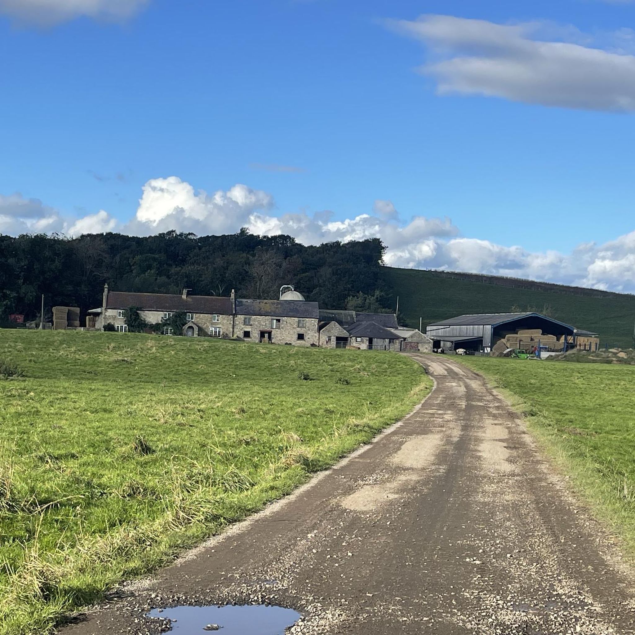
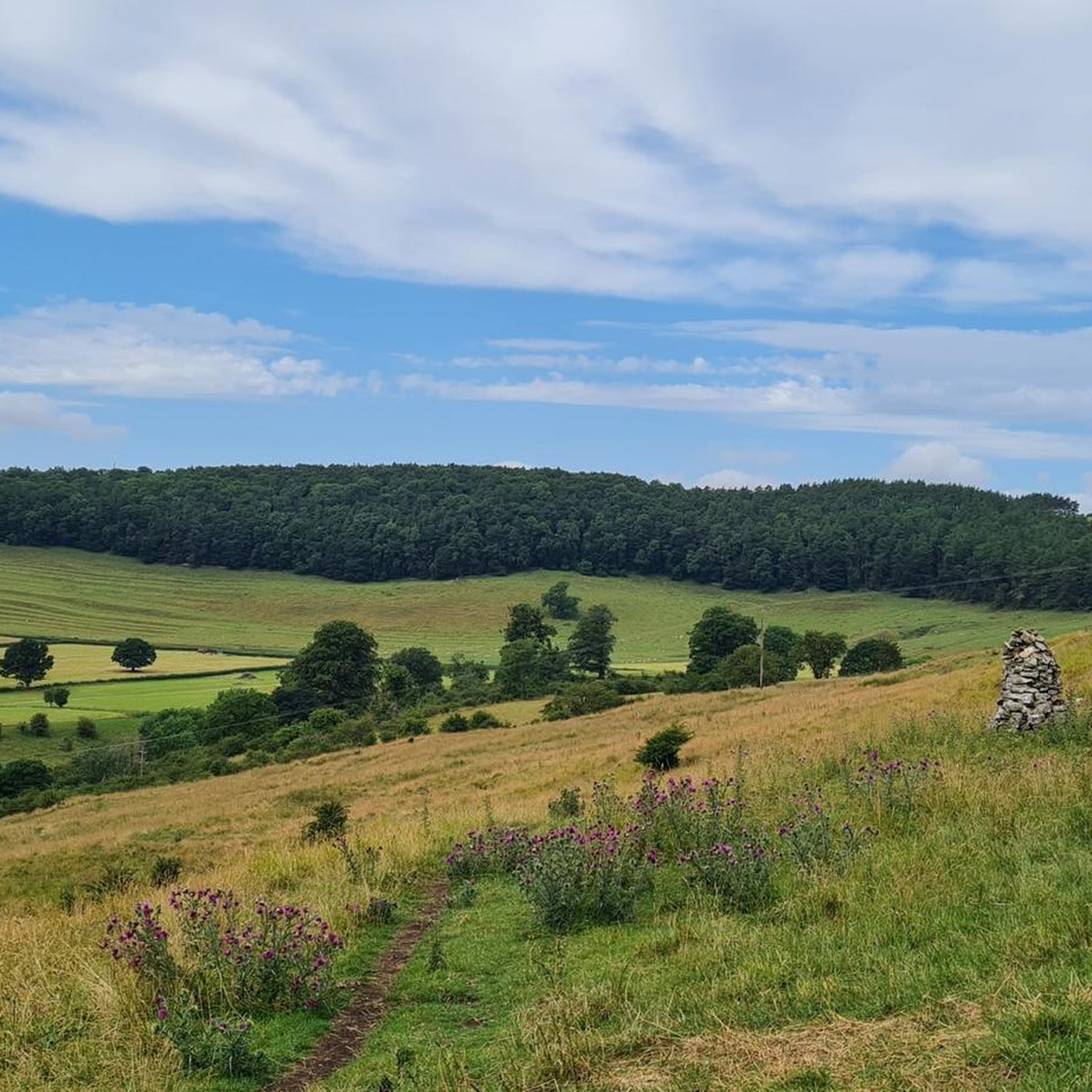
Tips from the Community

The Roman fort at Piercebridge is a good place to visit and rest a while it is kept in good condition and looks great.
0
0

With Whorlton bridge still out of action, this makes for the best crossing of the Tees if you want to avoid traffic
0
0


The bridge over the River Tees near Winston in County Durham was built in 1762-1763, designed by Sir Thomas Robinson.
0
0
This is a stone bridge soaring high over the River Tees. Designed by Sir Thomas Robinson of nearby Rokeby, and erected in 1762-3, it has one arch of 111 ft (34 metres) span, once the longest single span in England.
0
0
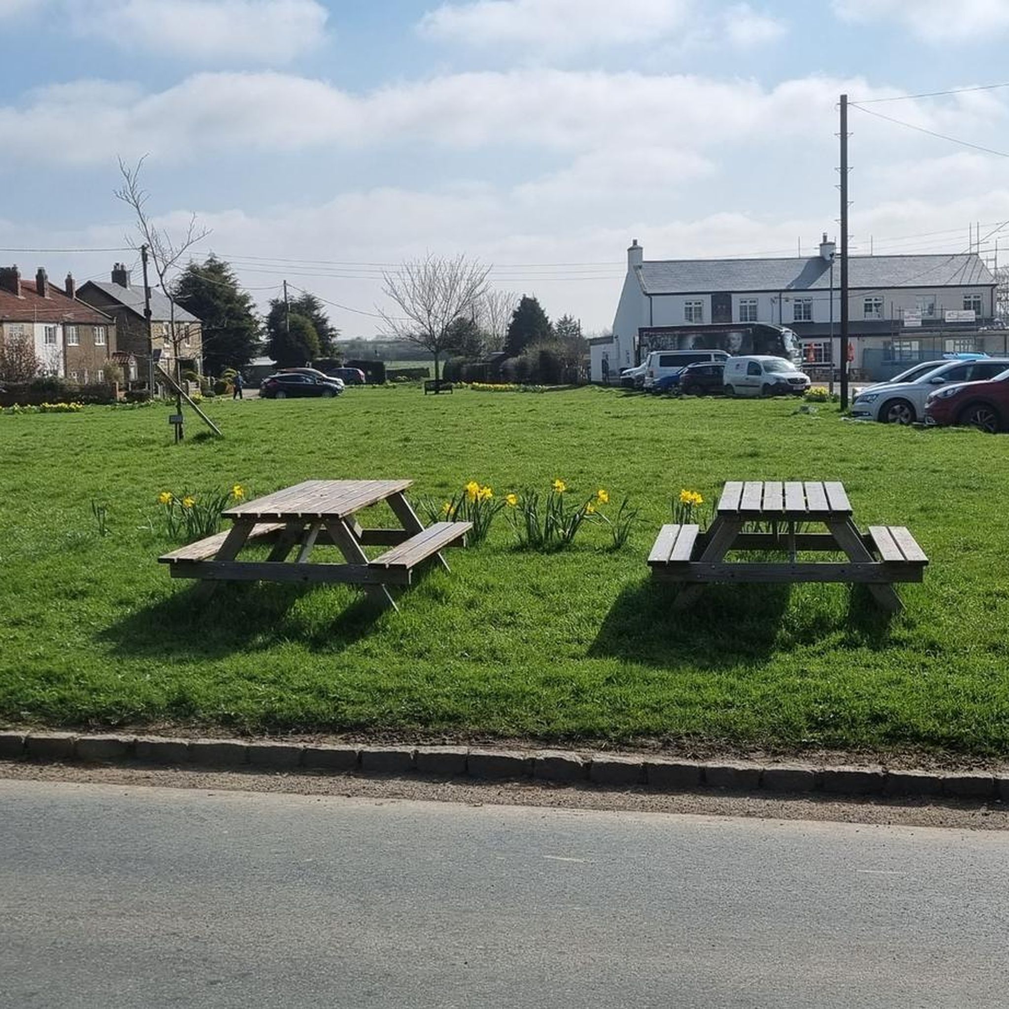
Piercebridge is situated on the banks of the River Tees and has a nice village green. There was a Roman fort of AD 260–270 here, which was built at the point where Dere Street crossed the River Tees.
0
0
Gainford is situated about halfway between Darlington and Barnard Castle and has a lovely village green. The houses around the green are mostly Georgian with some rubble-built houses on the north and south sides of the green.
0
0
Frequently Asked Questions
Are there any family-friendly walks near Forcett?
Yes, the area offers several options suitable for families. The River Tees at Teesdale Way loop from High Coniscliffe is an easy and relatively short walk. For a different experience, the Orielton Lagoon Loop provides a scenic, flat pathway around a significant wetland, perfect for a leisurely stroll and birdwatching with children.
Can I take my dog on the trails around Forcett?
Dog-friendly trails are available, but restrictions apply, especially in national parks. Local walks like the Old Forcett Road Walkway are generally suitable for dogs on a leash. However, dogs are not permitted on most tracks within the nearby Tasman National Park to protect wildlife. Always check local signage before starting your walk.
What are some good circular walks in the area?
For a moderate circular route, consider the Whorlton Bridge – Winston Bridge loop from Winston, which features riverside sections. Another great option is the Orielton Lagoon Loop, offering a continuous path around the water, ideal for an easy and scenic circuit.
Are there any coastal hikes with good views?
The region is renowned for its dramatic coastal scenery. For a challenging hike with spectacular rewards, the trail to Cape Raoul on the Tasman Peninsula offers stunning views of towering dolerite cliffs. A less strenuous but equally beautiful option is the walk to Waterfall Bay, which provides views of impressive cliff faces.
How many hiking trails are there around Forcett?
There are over 35 designated hiking routes around Forcett, ranging from easy local paths to difficult multi-day treks. This includes everything from gentle walks in the Sorell municipality to the rugged and world-famous trails of the Tasman Peninsula.
What do other hikers think of the trails in this region?
The trails around Forcett are well-regarded by the komoot community, with an average rating of 4.1 stars. Hikers often praise the diversity of the landscape, from the tranquil riverside paths to the breathtaking coastal cliffs of the nearby national park.
Are there any trails that feature waterfalls?
Yes, the Waterfall Bay track in Tasman National Park is your best option. It's a relatively easy 1.5-hour return walk that leads to viewpoints of the cliffs. After a period of rainfall, you can see waterfalls cascading directly into the sea.
What is the terrain like on the hikes near Forcett?
The terrain is quite varied. You'll find flat, gravel tracks like the Old Forcett Road Walkway, gentle shared pathways around wetlands like Orielton Lagoon, and rugged, steep, and sometimes muddy bush tracks on the Tasman Peninsula. It's best to check the details of a specific route to prepare accordingly.
Are there any very long or challenging hikes available?
Yes, for experienced hikers looking for a challenge, the River Tees at Teesdale Way – Chapel Garth loop from Gainford is a long and demanding option. The nearby Tasman Peninsula is also home to multi-day treks like the famous Three Capes Track, which covers 48 kilometers of stunning, remote coastline.
What is the best time of year to hike around Forcett?
Hiking is possible year-round, but the best time is typically from late spring to early autumn (November to April) when the weather is milder and there's more daylight. Winters can be cold and wet, making some coastal tracks slippery and exposed. Always check the weather forecast before you go, as conditions can change quickly.
Where can I find information on local council-managed walking tracks?
The Sorell Council manages several local trails, including the Old Forcett Road Walkway and the Orielton Lagoon Loop. For detailed information on these and other local paths, you can visit the official Sorell Council tracks and trails page.
Are there any easy walks suitable for beginners?
Absolutely. The Old Forcett Road Walkway is a 2.7-kilometre gravel track that is mostly flat and straightforward, making it ideal for beginners or a quick, casual walk. The Lewisham Foreshore Walkway is another gentle option with pleasant water views.
Most popular routes around Forcett
Most popular attractions around Forcett

Get inspired with the komoot mobile app


Explore more
Browse the best Hikes in other regions.
