The best running trails around Little Strickland
4.4
(44)
3,802
runners
208
runs
Jogging routes around Little Strickland traverse a landscape characterized by rolling hills, open countryside, and historical estates. The region offers a mix of gentle paths through rural villages and more challenging trails across fells and past ancient stone circles. Runners can expect varied terrain, from well-maintained tracks to more rugged, unpaved sections.
Best jogging routes around Little Strickland
- The most popular jogging route is Lowther Castle – The Cockpit Stone Circle loop from Lowther, a 7.7 miles (12.4 km)…
Last updated: September 28, 2026
10
runners
5.35km
00:34
60m
60m
Moderate run. Good fitness required. Mostly paved surfaces. Suitable for all skill levels.
6
runners
8.26km
00:56
130m
130m
Moderate run. Good fitness required. Mostly paved surfaces. Suitable for all skill levels.

3.0
(1)
7
runners
4.22km
00:26
30m
30m
Easy run. Great for any fitness level. Mostly paved surfaces. Suitable for all skill levels.
5.0
(1)
5
runners
11.9km
01:15
140m
140m
Moderate run. Good fitness required. Mostly paved surfaces. Suitable for all skill levels.
3.0
(1)
5
runners
14.8km
01:47
300m
300m
Hard run. Very good fitness required. Mostly paved surfaces. Suitable for all skill levels.
Get access to more routes and recommendations from other explorers.
Already have an account?
Our route recommendations are based on thousands of hikes, rides, and runs completed by other people on komoot.
Start today with a free account
Your next adventure awaits.
Tips from the Community

Rosgill Hill 290.4m P20.6 (953ft) (Hill ID: 504064) [JNSA 13865] Lake District National Park Definitive List summit
0
0

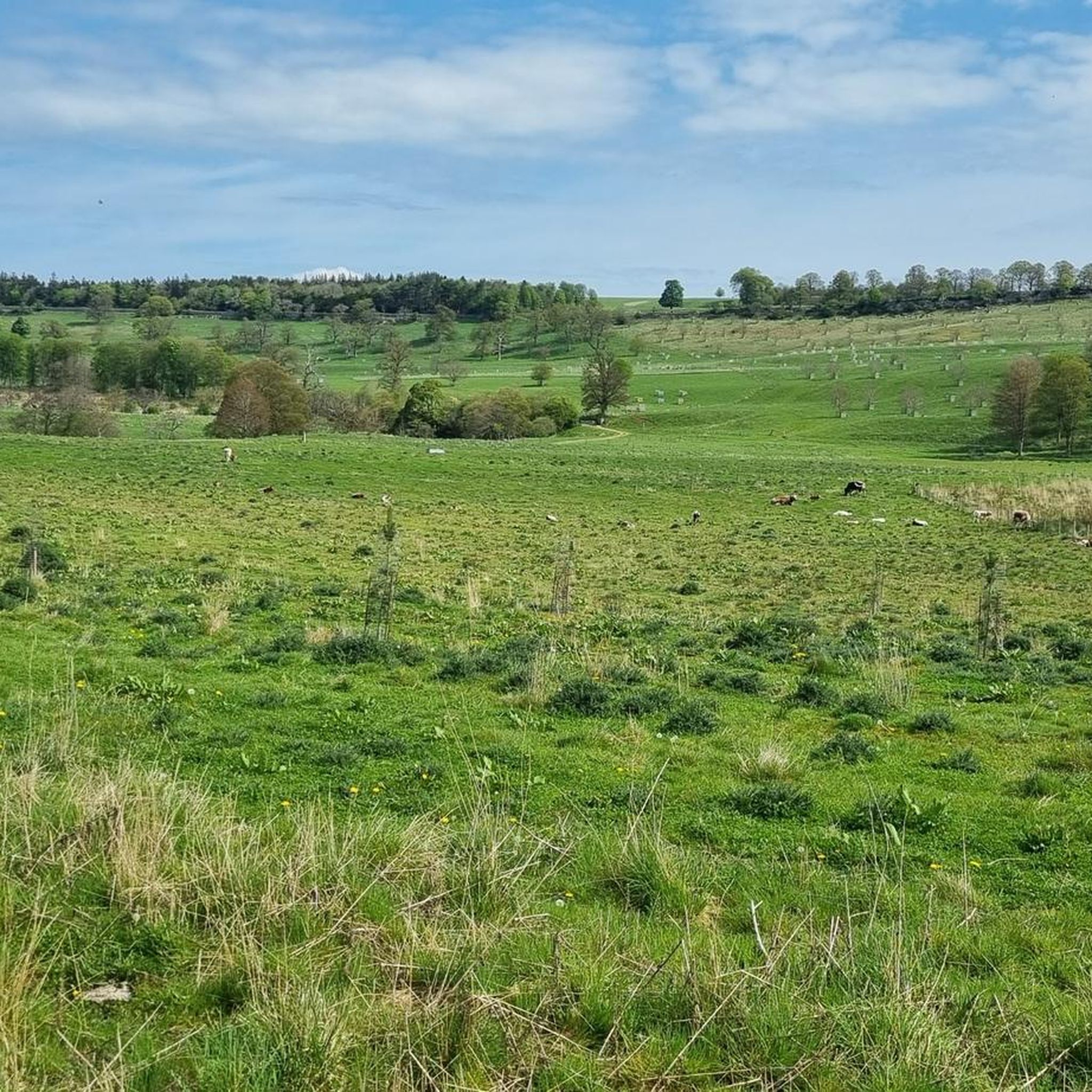
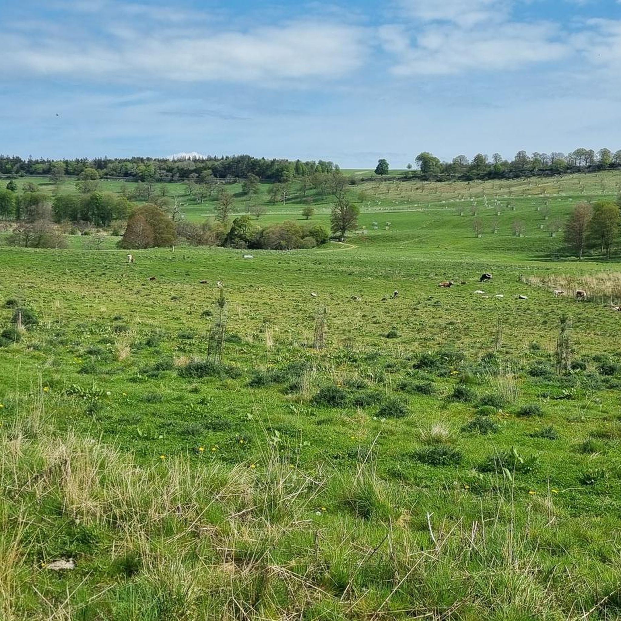
The public road from Swindale crosses the private concrete road owned by United Utilities. At these crossroads is a fantastic view over the valley which the concrete road cuts through.
0
0

The name "Fairy Crag" may refer to a local belief in fairies in times gone by. Old Westmorland has a strong tradition of fairy myths associated with water. For example, fairies are said to prefer fast-flowing streams and rivers and it was said that stone footbridges over mountain streams - in the right conditions - are good places to see fairies. Source: https://www.edenriverstrust.org.uk/wp-content/uploads/2018/12/Shap.pdf Even for those who do not believe in those myths (undoubtedly a small minority ;-)), this is an enchantingly beautiful place, for which I think the word "fairy" was invented.
0
0

Very Cycling friendly pub. Has yurts out back to stay in. Good good for bike packing and the C2C route. Team Sky stayed here in 2012 apparently?
0
0

Great Strickland is a village on the River Leith, south of the town of Penrith. It is a great base for outdoor adventures, with the Lake District to the west and the North Pennines to the east. The Strickland Arms has B&B facilities, as well as bunkhouse facilities, perfect for walkers. It also serves good food for that all-important post hike refuel.
0
0

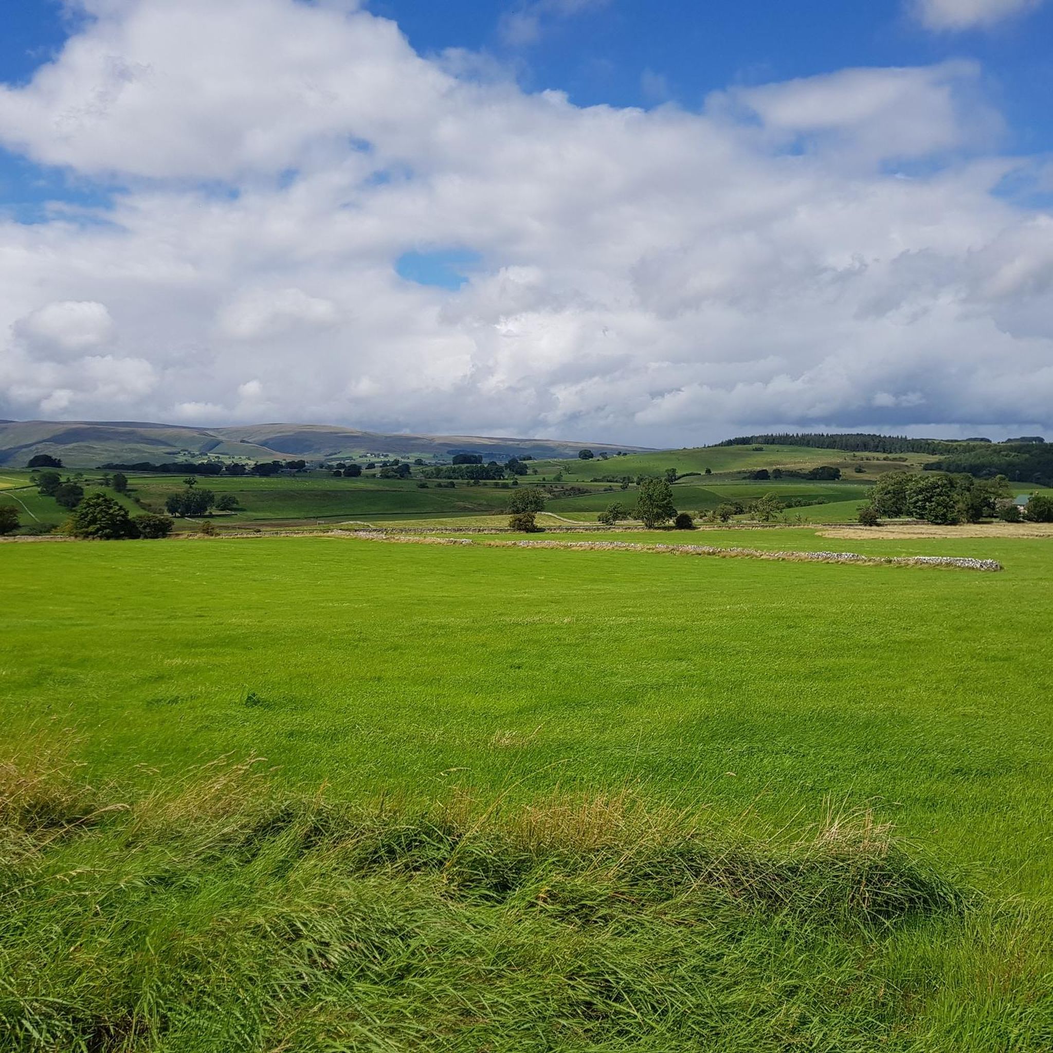
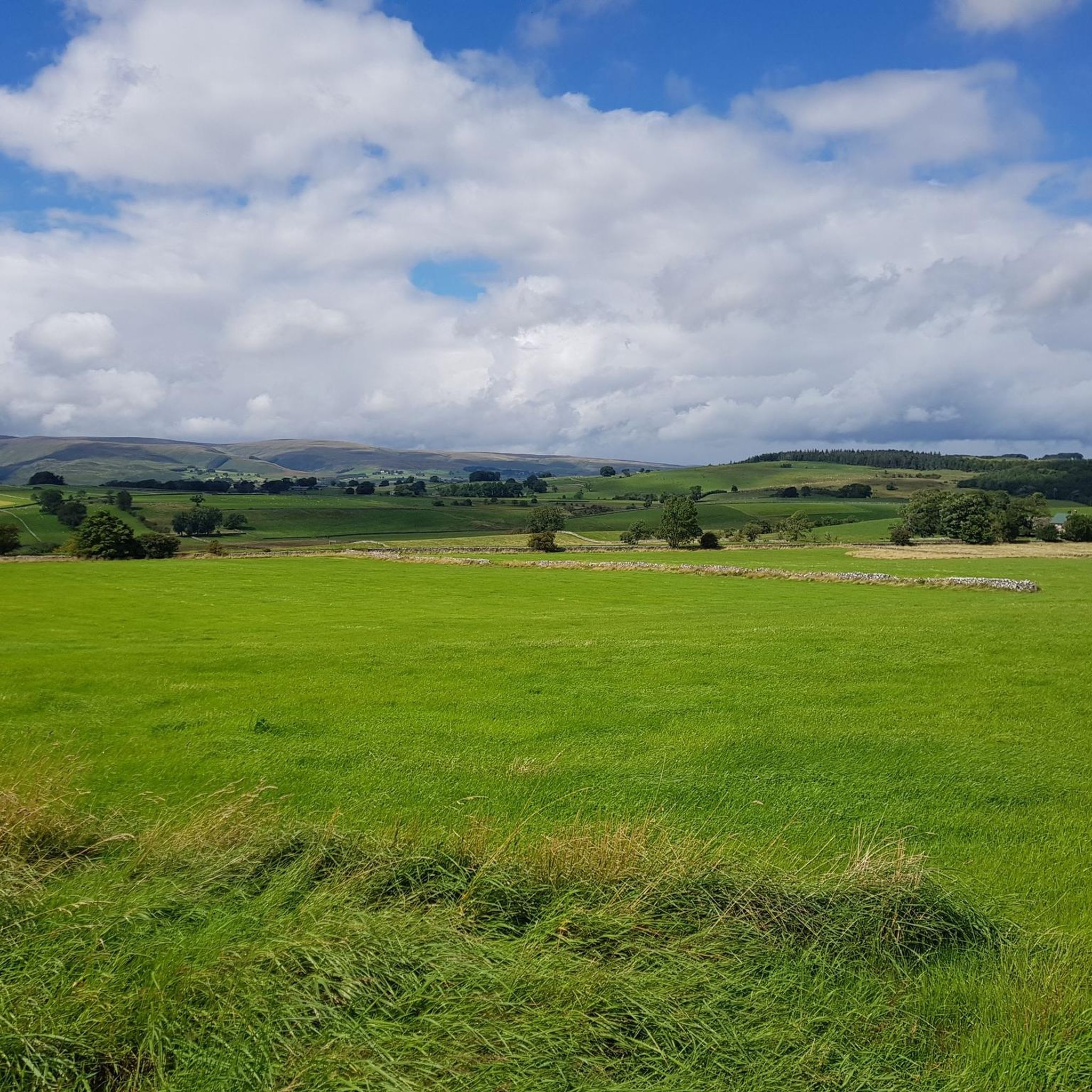
Beautiful unspoilt valley. used by walkers, climbers, cyclist, nature lovers.
1
0
Frequently Asked Questions
How many running routes are available around Little Strickland?
There are over 220 running routes in the Little Strickland area, catering to various fitness levels. This includes 25 easy routes, 146 moderate routes, and 49 challenging trails for experienced runners.
Are there any easy or beginner-friendly jogging routes in Little Strickland?
Yes, Little Strickland offers 25 easy running routes perfect for beginners or those looking for a gentle jog. These routes typically feature less elevation gain and well-maintained paths through the rural landscape.
What kind of long-distance or challenging running trails can I find near Little Strickland?
For those seeking a challenge, Little Strickland has 49 difficult running trails. These often traverse open fells and offer significant elevation changes. An example of a longer, more demanding route is the St Peter's Church, Martindale – The Cockpit Stone Circle loop from Lowther, which covers over 45 km.
Are there any circular running routes in the Little Strickland area?
Many of the running routes around Little Strickland are circular, allowing you to start and finish at the same point. For instance, the popular Lowther Castle – The Cockpit Stone Circle loop from Lowther is a moderate 12.4 km circular trail.
What attractions or points of interest can I see while running in Little Strickland?
The routes often pass by historical sites and offer scenic viewpoints. You might encounter ancient monuments like The Cockpit Stone Circle or enjoy panoramic views from spots like Loadpot Hill Trig Point and Pikeawassa (Steel Knotts summit). The grounds of Lowther Castle also provide a beautiful backdrop for a run.
What do other runners say about the trails in Little Strickland?
The running routes in Little Strickland are highly regarded by the komoot community, boasting an average rating of 4.6 stars from over 30 reviews. Runners frequently praise the varied terrain, from historical parkland to open fells, and the well-maintained paths.
Is Little Strickland suitable for family-friendly jogging?
Yes, with 25 easy routes available, many paths are suitable for families looking for a gentle jog or a leisurely run together. These routes often stick to less challenging terrain, making them enjoyable for all ages.
Are there any running routes near Little Strickland that pass by a pub?
While specific routes passing directly by a pub aren't highlighted in the data, the region has several charming villages. For example, the Chippy Chippy – Flat Approach to Shap loop from Shap starts near Shap, which has local amenities. It's always a good idea to check local maps for pubs near your chosen starting point.
What is the best time of year to go running in Little Strickland?
The best time to run in Little Strickland depends on your preference. Spring and autumn offer pleasant temperatures and beautiful scenery with changing foliage. Summer is ideal for longer days, while winter can provide a unique, crisp experience, though some higher routes might be more challenging due to weather conditions.
Are there any dog-friendly running trails around Little Strickland?
Many of the trails through the open countryside and rural paths around Little Strickland are suitable for running with dogs. However, always be mindful of livestock, especially in fell areas, and keep dogs on a lead where necessary or indicated by signage. It's advisable to check specific route details for any restrictions.
Where can I find parking for jogging routes in Little Strickland?
Parking is generally available at common starting points for routes, such as near Lowther Castle or in villages like Shap. Specific parking information is usually detailed on individual route pages on komoot, so it's best to check the route you plan to run for precise locations.
Can I access running routes in Little Strickland using public transport?
While Little Strickland itself is a small village, some larger nearby hubs like Shap may offer public transport connections. From these points, you can often access various running routes. It's recommended to check local bus schedules or train services to nearby towns and plan your route accordingly.
Most popular attractions around Little Strickland

Get inspired with the komoot mobile app


Explore more
Browse the best Running Trails & Routes in other regions.
