The best mountain hikes around Betws Garmon
4.7
(16)
223
hikers
15
hikes
Mountaineering routes around Betws Garmon are set within the dramatic and diverse landscape of Snowdonia National Park in Gwynedd, Wales. The region is characterized by majestic peaks, including Snowdon, Wales' highest mountain, and the rugged Glyderau Range. Glacial lakes such as Llyn Cwellyn and the Afon Gwyrfai river further define the area's wild countryside, offering varied terrain for ascents and exploration.
Best mountaineering routes around Betws Garmon
- The most popular mountaineering route is Snowdon Summit loop from Llanberis, a…
Last updated: September 27, 2026
4.7
(6)
67
hikers
15.2km
05:36
950m
950m
Hard mountaineering route. Very good fitness required. Mostly accessible paths. Sure-footedness required.
4.5
(2)
9
hikers
19.6km
07:30
1,060m
1,060m
Hard mountaineering route. Very good fitness required. Sure-footedness, sturdy shoes and alpine experience required.

5.0
(2)
21
hikers
12.3km
04:50
850m
850m
Hard mountaineering route. Good fitness required. Sure-footedness, sturdy shoes and alpine experience required.
5.0
(1)
6
hikers
9.74km
03:39
640m
640m
Moderate mountaineering route. Good fitness required. Easily-accessible paths. Suitable for all skill levels.
6
hikers
17.7km
07:25
1,080m
1,080m
Hard mountaineering route. Very good fitness required. Sure-footedness, sturdy shoes and alpine experience required.
Get access to more routes and recommendations from other explorers.
Already have an account?
Our route recommendations are based on thousands of hikes, rides, and runs completed by other people on komoot.
Start today with a free account
Your next adventure awaits.
Popular around Betws Garmon
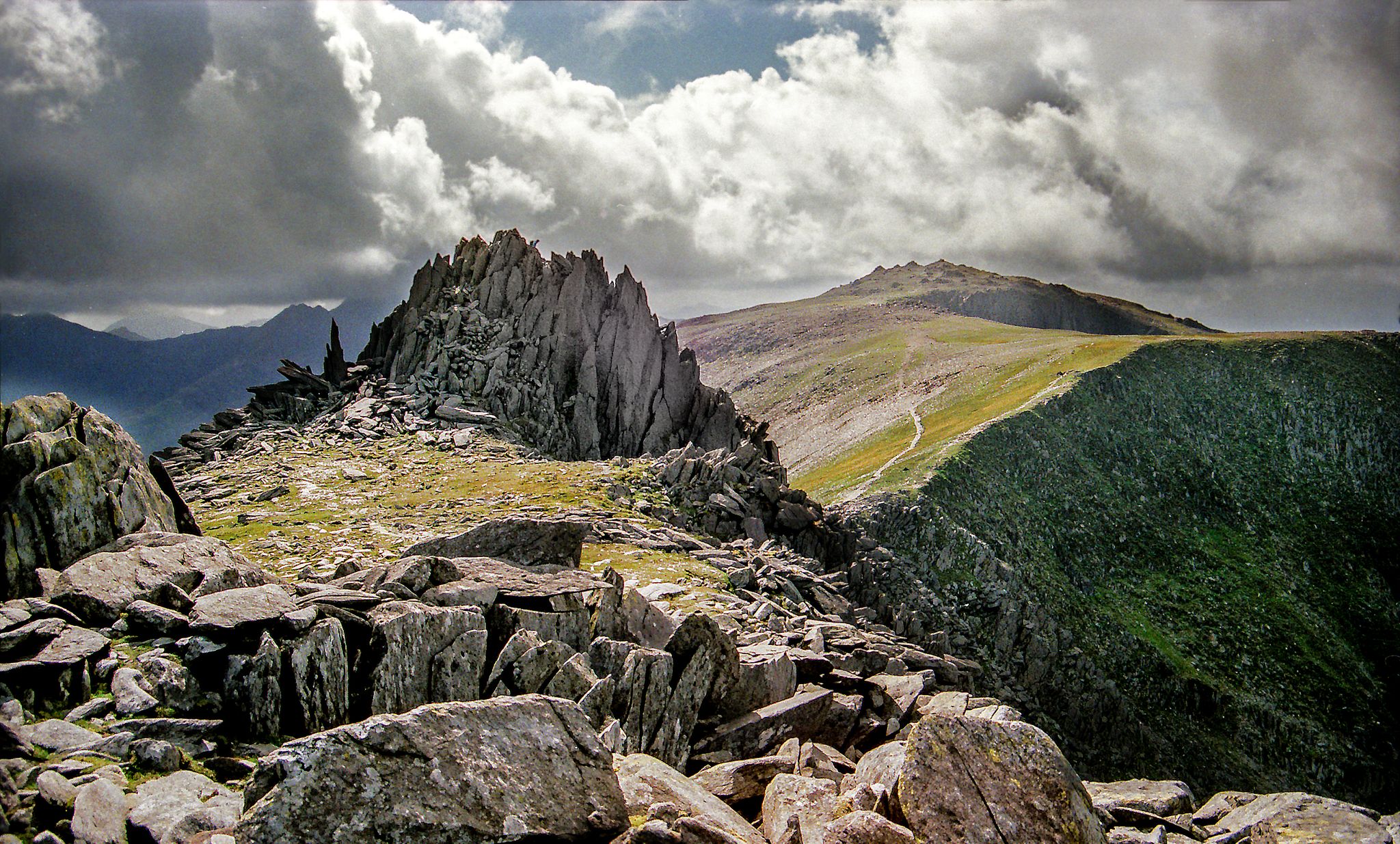
Hiking the Paddy Buckley Round — An epic Snowdonian adventure
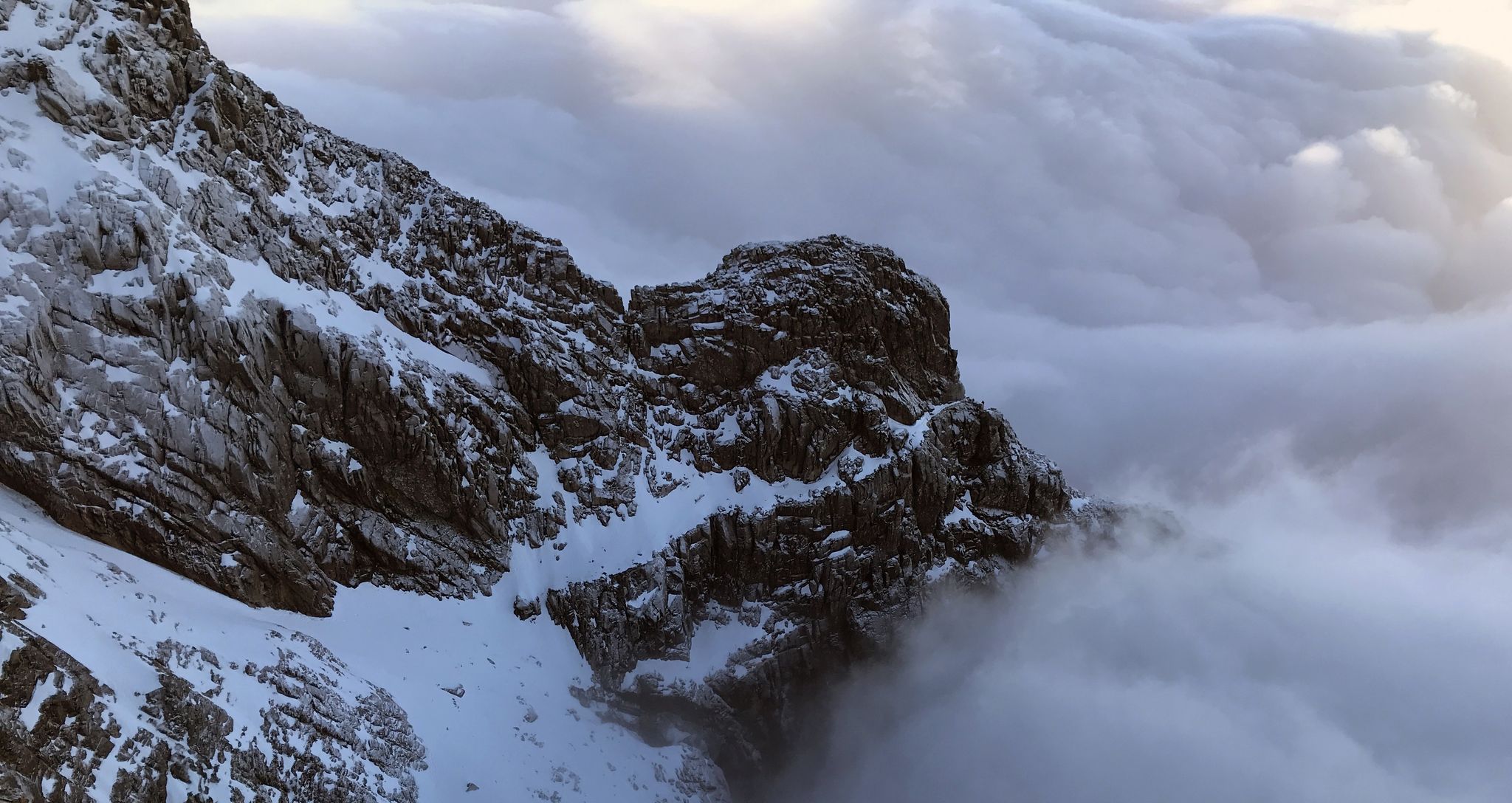
Ephemeral Lines – Stunning UK Winter Ridges
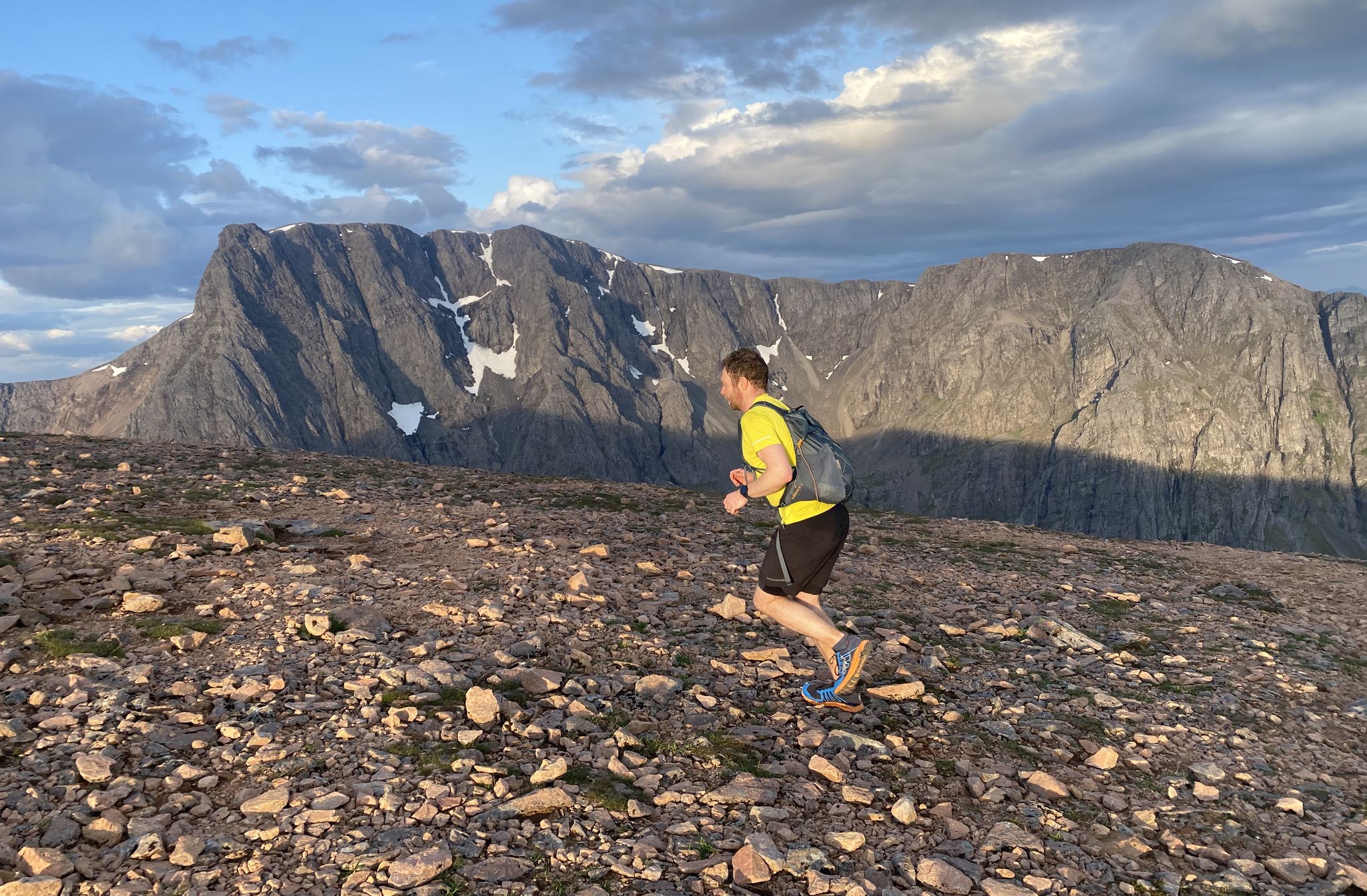
The UK National Three Peaks Challenge, but better
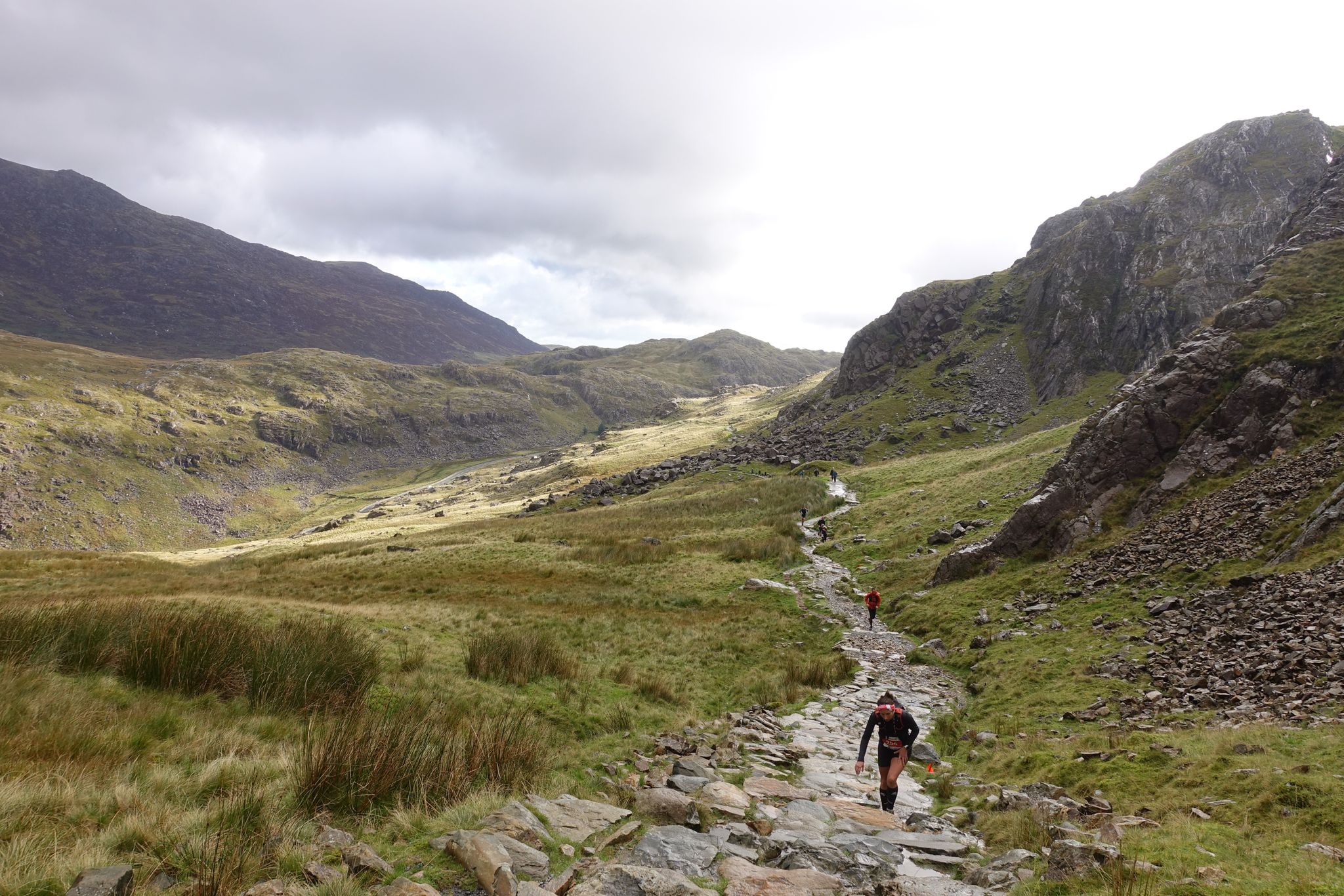
Five incredible trail running ascents of Yr Wyddfa (Snowdon)
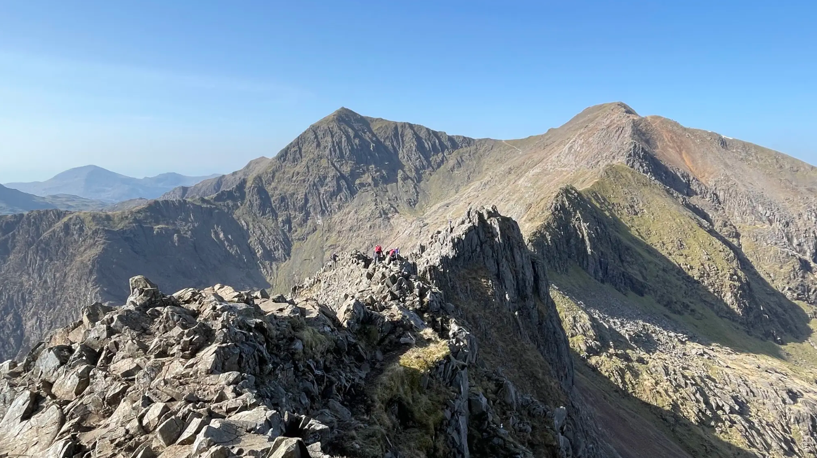
The rugged charm of Northern Eryri (Snowdonia)
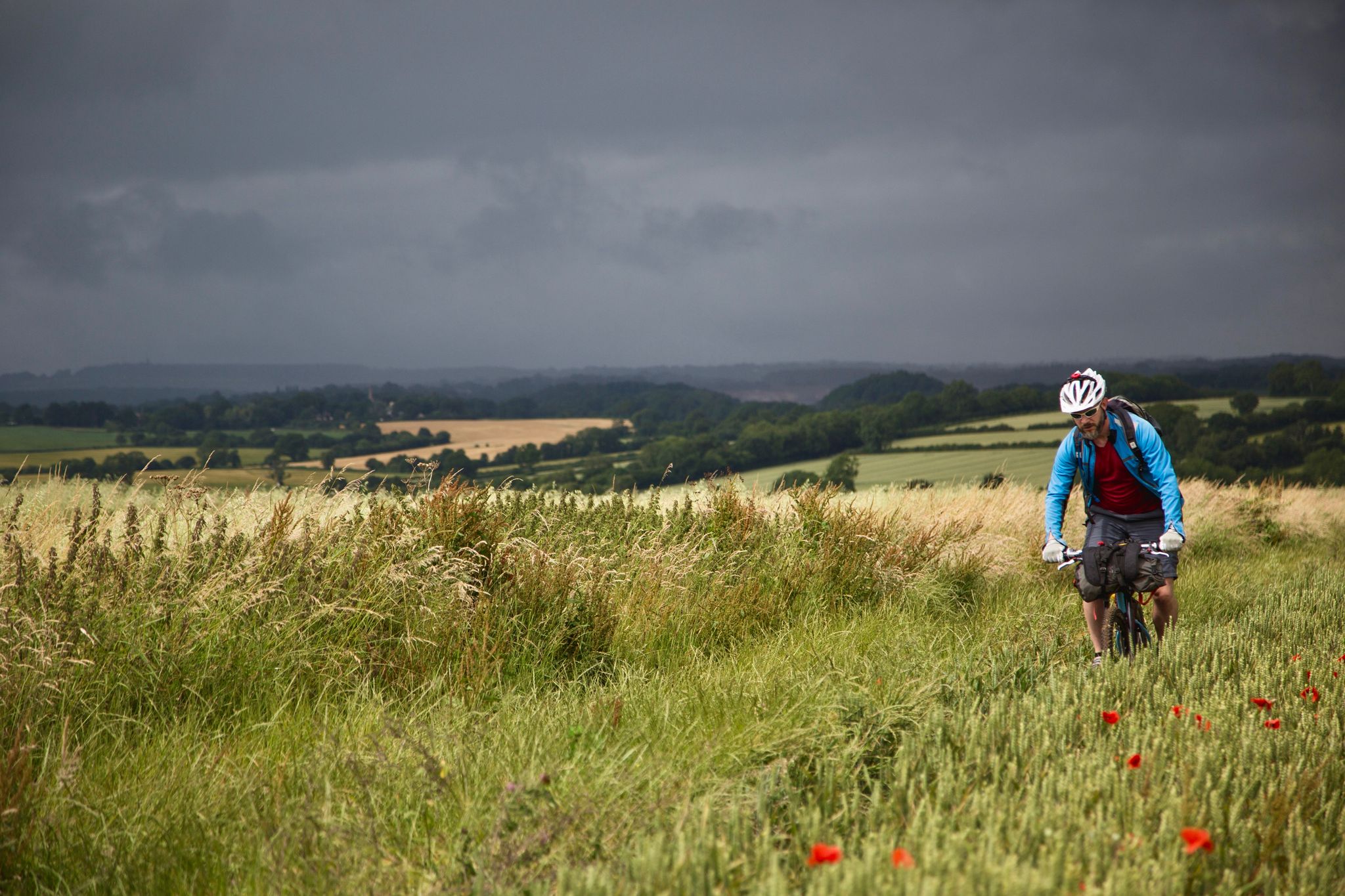
On Britain's green tracks
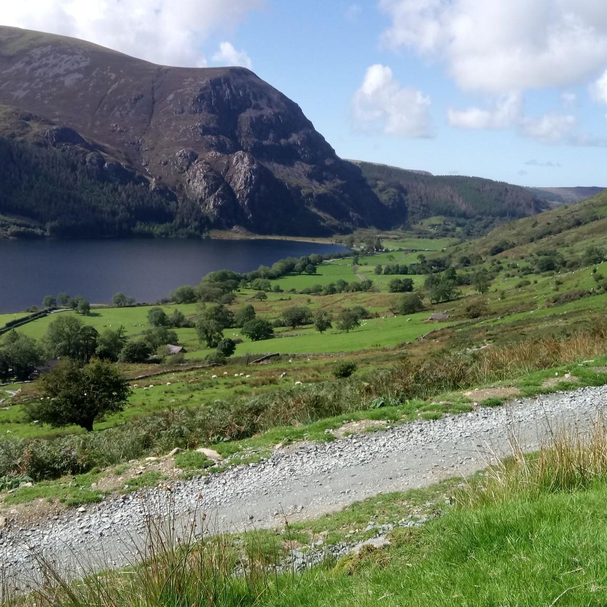
Hiking around Betws Garmon
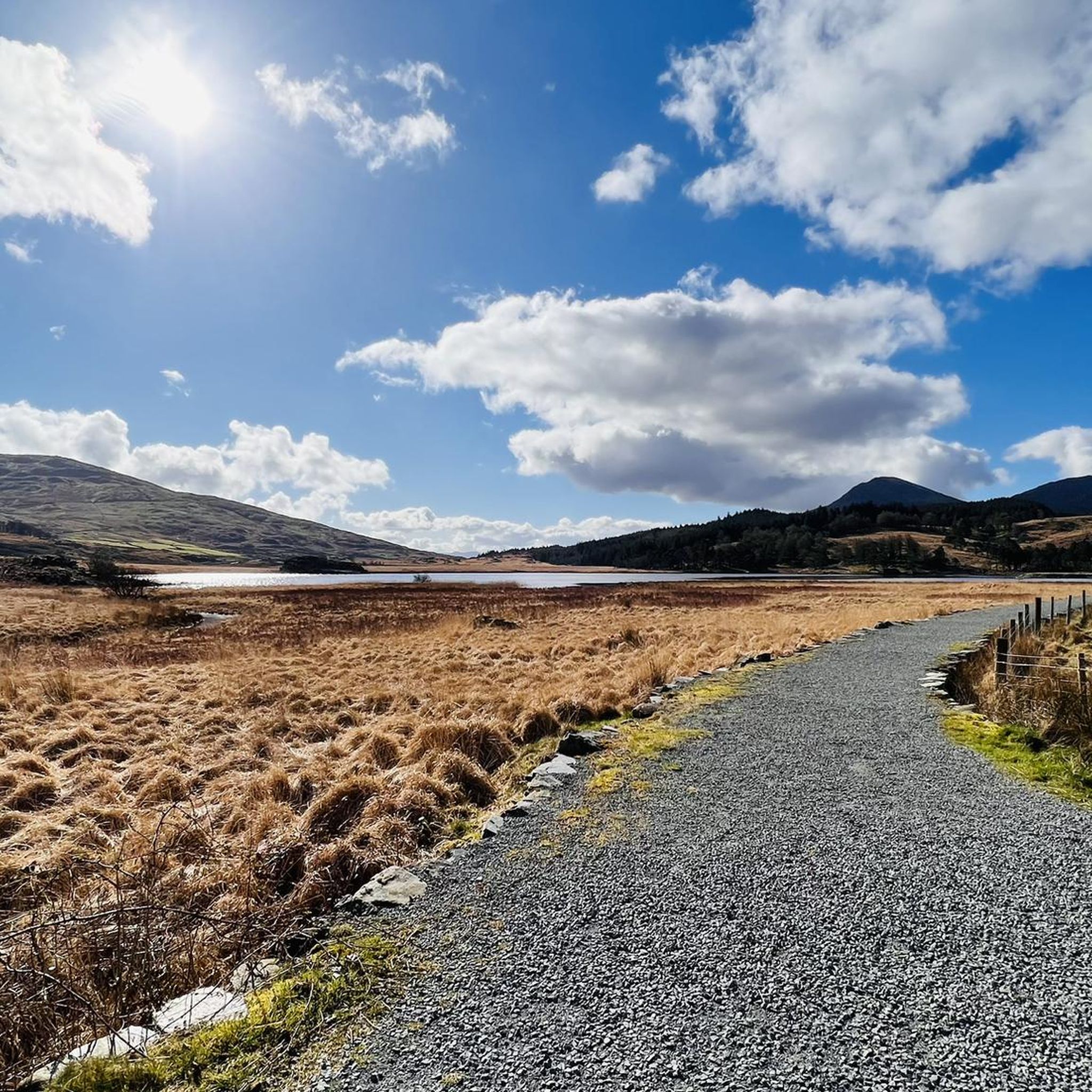
Running Trails around Betws Garmon
MTB Trails around Betws Garmon
Cycling around Betws Garmon
Other adventures around Betws Garmon


Tips from the Community


planned to take this route but parking is scarce, so be careful
3
0

There are many, many ways up Yr Wyddfa (Snowdon), though the Watkin Path is one of the six trails officially recognised by the national park authority. It's a quieter option than the routes from Llanberis and Pen y Pass and also one of the most strenuous. It was also the first public footpath in the UK when it was inaugurated in 1892 by Prime Minister William Gladstone.
1
0

Beginning of Watkins' path
5
0

The best view to be had of these two lakes is from the Crib Goch, and they will be a long way below you.
0
0
The Bwlch Main (south west ridge) is a great way to descend from the summit of Snowdon, particularly on a winter's day. Great views all the way to the Irish Sea
0
0

The ridge section of the Rhyd Ddu is a wonderful quieter and scenic route up Snowdon. After a steady climb from Rhyd Ddu village through moorland and old quarry terrain, the path climbs up onto the broad shoulder of Llechog, then narrows and becomes more dramatic across Bwlch Main. It’s here that the hike shifts from a hillwalk to a true mountain experience, with big drops, wide views, and an airy sense of exposure. 👁️🗨️ West over Llyn Cwellyn, the Nantlle Ridge, and Moel Hebog. South into Cwm Llan with its waterfalls and quarry ruins. North across to Crib Goch and Garnedd Ugain. 👥 Compared with the Pyg or Llanberis routes, the ridge here is far less busy, often giving you space to take it in without jostling crowds. ⚠️ Llechog has sheer cliffs to the west; Bwlch Main narrows with steep drops. Those nervous of heights may find it challenging but not impossible, it’s narrower than broad ridges like the Llanberis path, but much less extreme than Crib Goch. 🌬️ Wind makes this section serious; gusts on Bwlch Main can be dangerous. 😶🌫️ Mist reduces visibility, making navigation tricky and increasing the psychological challenge. ❄️ In winter, ice and snow turn the ridge into a mountaineering route. Do not attempt unless you have enough experience and the appropriate equipment. 🥾The path is rocky and uneven in places; care is needed, especially on descent when tired. To sum up: The Rhyd Ddu Ridge section is the jewel of the Rhyd Ddu Path, a place where you feel the full scale and drama of Snowdon without the crowds or the knife-edge exposure of Crib Goch. It’s a route for hikers who want a wild, scenic, and adventurous approach to the summit, while still keeping it within the bounds of a challenging walk rather than a scramble. (Albeit there are some light scrambling sections)
0
0
Llechog (Welsh for “slaty place”) is a long, rocky summit ridge that rises above the village of Rhyd Ddu. It’s not a separate mountain peak, but a prominent shoulder of Snowdon, forming the steep cliffs above Llyn Cwellyn. Pass over or alongside Llechog before continuing along the narrow Bwlch Main ridge to reach the summit of Snowdon. 👁️🗨️ Spectacular cliffs: Sheer drops plunge hundreds of metres into the valley below. It’s one of Snowdon’s most dramatic natural features. Views westward: Over Llyn Cwellyn and the forested valley, with Moel Hebog and the Nantlle Ridge in the distance. On a clear day, you can see all the way to the sea. Looking ahead, the razor crest of Bwlch Main. 👥 Not as popular as other routes, you are likely to get the path to yourself. ⚠️ More exposed and dramatic than the lower Rhyd Ddu approach, but easier than the knife-edge ridge sections of Crib Goch. The cliffs drop steeply to the west, so straying off-path could be very dangerous. 🌬️ In windy weather, this section feels more serious than the lower Rhyd Ddu slopes. Strong winds can funnel along the ridge, adding to the exposure 😶🌫️ The path is fairly clear in good visibility, but in cloud it’s easy to drift too close to the edge. ❄️ In winter, cornices and ice build-up on the cliff edge pose real risks.
0
0
Frequently Asked Questions
How many mountaineering routes are available around Betws Garmon?
There are nearly 40 mountaineering routes around Betws Garmon, offering a wide range of experiences within the Snowdonia National Park. While most are considered difficult, there are also a few moderate options available.
Are there any family-friendly or less strenuous mountain walks near Betws Garmon?
While the majority of mountaineering routes in the immediate area are challenging, there are 5 moderate routes available. For less strenuous options, consider walks around Llyn Cwellyn, which offers accessible boardwalks and serene views. The region also features easier mountain paths like Mynydd Mawr, which provides rewarding ascents without the extreme technicality of other peaks.
What are some of the most challenging mountaineering routes in the Betws Garmon area?
For experienced mountaineers seeking a challenge, Betws Garmon offers numerous difficult routes. Notable options include the Snowdon Summit loop from Llanberis, a classic ascent to Wales' highest peak. Another demanding route is the Garnedd Ugain Summit – Snowdon Summit loop from Rocky Valley Halt, which involves ascending Garnedd Ugain before reaching Snowdon's summit. The Watkin Path – Snowdon Summit loop from Yr Wyddfa National Nature Reserve also presents a significant challenge, leading through a national nature reserve.
What kind of terrain can I expect on mountaineering routes around Betws Garmon?
The terrain around Betws Garmon is incredibly diverse, ranging from the rugged, rocky slopes of the Glyderau Range to the more defined paths leading up Snowdon. You'll encounter high mountain peaks, glacial lakes like Llyn Cwellyn, and wild countryside featuring woodlands and open areas. Some routes, particularly on peaks like Y Garn or Mynydd Mawr, can involve scrambling and exposed sections, while others offer steadier ascents.
What are some interesting landmarks or natural features to see along the mountaineering routes?
The area is rich in natural beauty and iconic landmarks. Many routes offer views of or pass by the majestic Snowdon Summit (Yr Wyddfa) itself. You might also encounter the dramatic Glyder Fach summit and the Cantilever Stone, or enjoy panoramic views from Moel Siabod summit. The region is also home to serene glacial lakes, such as Llyn Cwellyn, and the Afon Gwyrfai river, adding to the scenic variety.
Are there any circular mountaineering routes available?
Yes, many of the mountaineering routes around Betws Garmon are designed as loops, allowing you to start and finish in the same location. Examples include the Snowdon Summit loop from Rhyd-ddu and the Snowdon Summit loop from Snowdon Ranger, both offering comprehensive mountain experiences.
What do other mountaineers say about the routes in Betws Garmon?
The mountaineering routes around Betws Garmon are highly regarded by the komoot community, boasting an average rating of 4.8 stars from over 60 reviews. Mountaineers often praise the dramatic landscapes, the variety of challenging ascents, and the stunning views from the peaks, particularly those of Snowdon and the Nantlle Ridge.
Is Betws Garmon well-connected by public transport for accessing trailheads?
Betws Garmon's location within Snowdonia National Park means some trailheads are accessible via public transport. The Welsh Highland Railway, a narrow-gauge railway, passes through the area and offers a unique way to experience the scenery and access trailheads like Rhyd Ddu, which is a starting point for a Snowdon Summit loop.
Are there parking facilities available near the mountaineering trails in Betws Garmon?
Yes, various parking facilities are available near popular trailheads in and around Betws Garmon. Specific parking information is usually detailed on individual route pages or can be found through local tourist information for the Snowdonia National Park area. It's advisable to check parking availability and potential fees in advance, especially during peak season.
What is the best time of year for mountaineering near Betws Garmon?
The best time for mountaineering near Betws Garmon is generally from late spring to early autumn (May to October) when weather conditions are more stable, and daylight hours are longer. However, the region's dramatic landscape offers unique experiences year-round. Winter mountaineering is possible but requires significant experience, proper equipment, and awareness of rapidly changing conditions, including snow, ice, and shorter daylight.
Are dogs allowed on the mountaineering routes around Betws Garmon?
Many trails within Snowdonia National Park, including those around Betws Garmon, are dog-friendly. However, it's crucial to keep dogs on a lead, especially in areas with livestock or ground-nesting birds, and to follow the Countryside Code. Always ensure your dog is fit enough for the chosen route and carry enough water for both of you.
Where can I find cafes, pubs, or accommodation near the mountaineering trails?
Betws Garmon and the surrounding villages within Snowdonia National Park offer various options for cafes, pubs, and accommodation. While Betws Garmon itself is a small hamlet, nearby towns and villages provide a range of services for visitors. It's recommended to check local listings for specific establishments and their opening hours, especially after a long day on the mountains.
Most popular routes around Betws Garmon
Most popular attractions around Betws Garmon

Get inspired with the komoot mobile app


Explore more
Browse the best Mountain Hikes & Routes in other regions.
