The 14 Most Amazing Peaks around Bontnewydd
Best mountain peaks around Bontnewydd are found in Gwynedd, Wales, offering convenient access to Snowdonia National Park. This area provides a range of hiking experiences, from challenging ascents to walks with extensive views of the Welsh landscape. The region is known for its diverse mountain terrain and significant natural features, serving as a base for exploring some of Wales' notable peaks.
Best mountain peaks around Bontnewydd
- The most popular mountain peaks is Snowdon Ranger Path, a trail that is…
Last updated: July 3, 2026
Moel Eilio Summit
Highlight • Viewpoint
Tip by

Craig Cwm Silyn summit
Highlight • Viewpoint
Tip by

Sign up now to discover places like this
Get recommendations on the best single tracks, peaks, & plenty of other exciting outdoor places.
Sign up for free
Mynydd Mawr summit
Highlight • Summit
Tip by
Snowdon Ranger Path
Highlight (Segment) • Trail
Tip by

Y Garn Summit (Nantlle Ridge)
Highlight • Viewpoint
Tip by
Sign up for free to discover even more peaks around Bontnewydd.
Sign up for free
Already have an account?
Start today with a free account
Your next adventure awaits.
Login or Signup
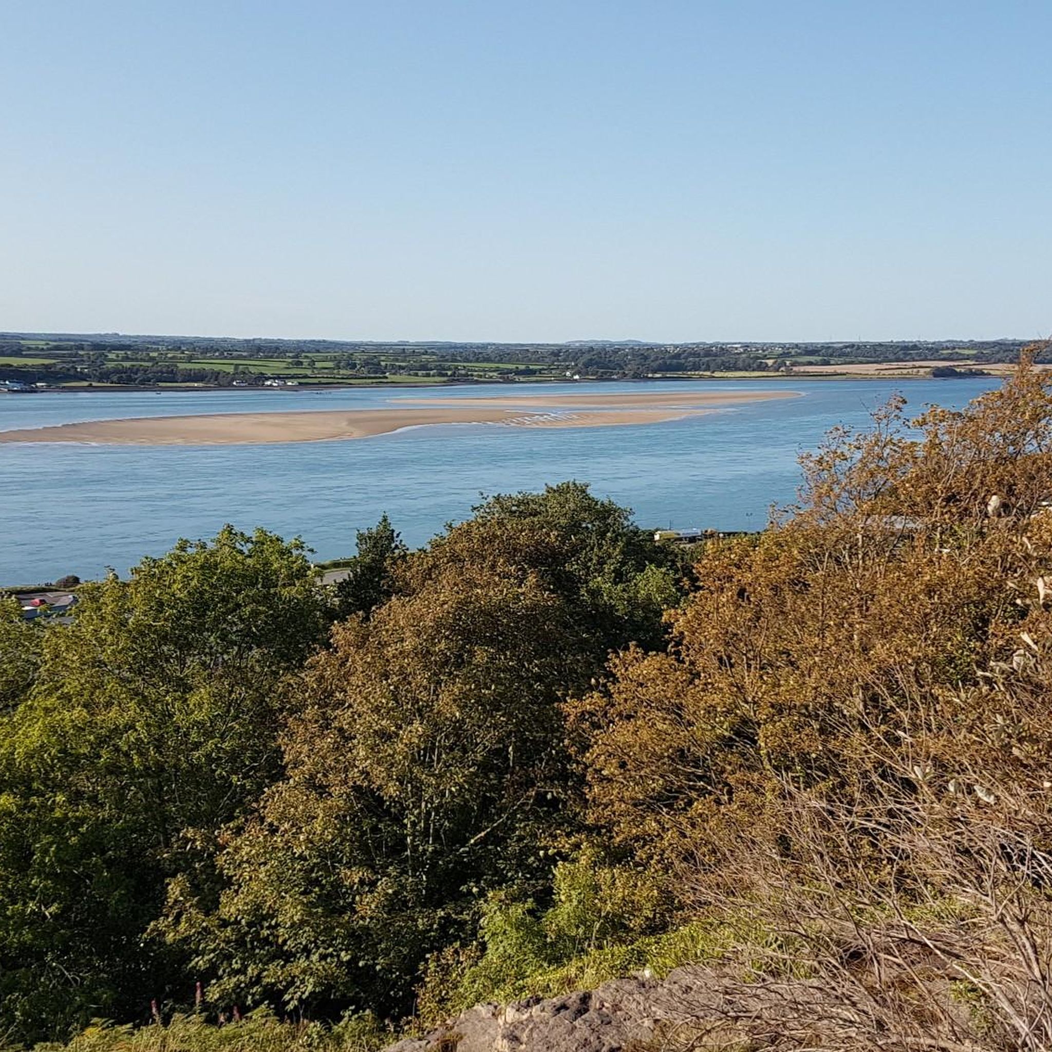
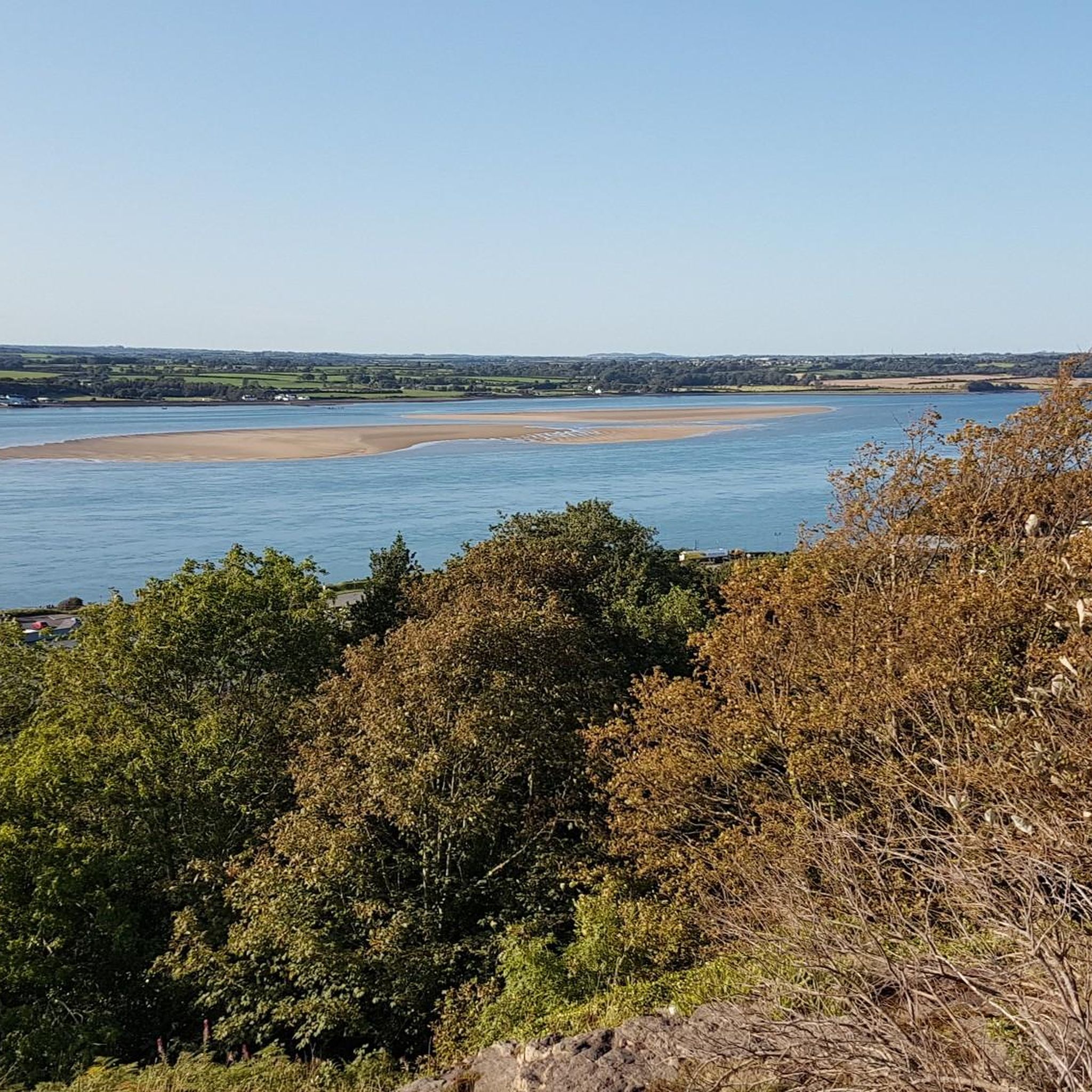
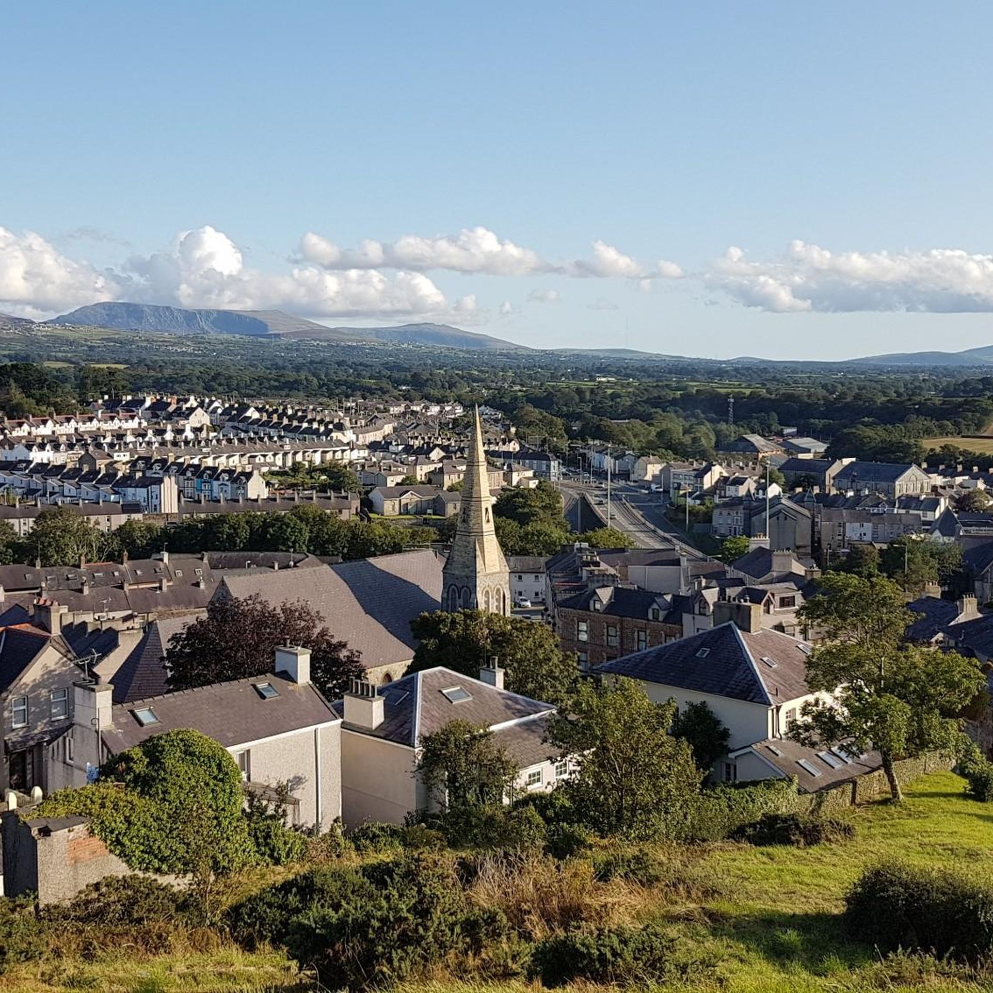
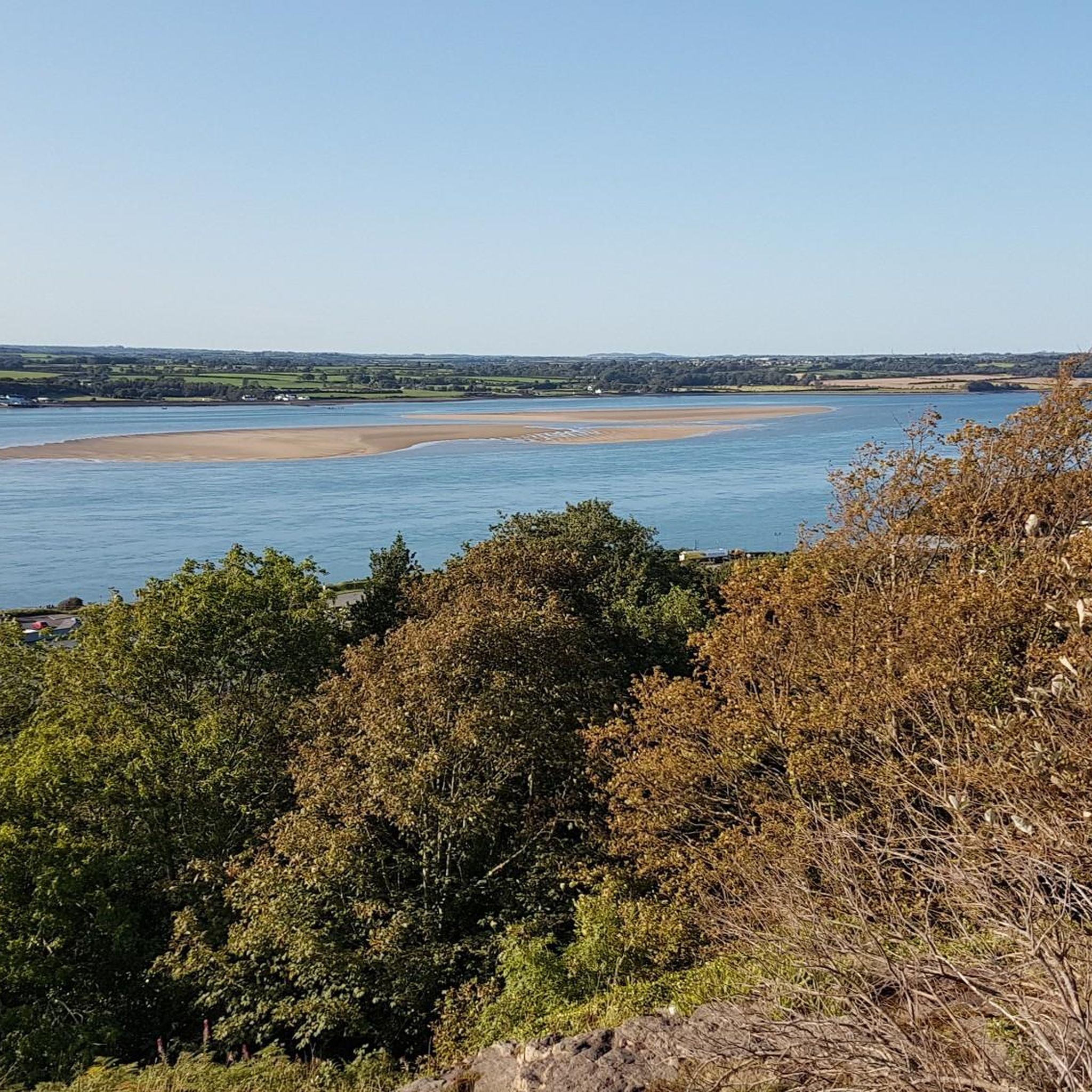

Tips from the Community

Best summit shelter ever! Seating supplied, some with side tables.🙂👍
0
0


Y Garn is the first summit on the traditional northeast to southwest traverse of the classic Nantlle Ridge. The summit is most notable for the excellent vantage it provides towards the striking north ridge of Mynydd Drws-y-Coed – an enticing line. From here, it's a grade one scramble to its neighbouring summit.
1
0
At 2,408 feet (734 m), Craig Cwm Silyn is the highest point on the Nantlle Ridge. It rewards with glorious views back along the snaking ridgeline, backed by the mighty Snowdon massif. The ascent of its northeast ridge is an entertaining scramble, while Craig Yr Ogof – the mountain's north-facing cliffs – provide plenty of rock climbing interest.
1
0

Craig Cwm Silyn at 734 m is the highest point of the Nantlle Ridge. It's a rocky ridge of a summit with good views along the ridge or down into the valleys on each side. Normally run as part of the ridge traverse, it makes a great day out in either direction.
0
0
Y Garn at 633 m is the first summit reached when running the Nantile Ridge from Rhyd-Ddu. It's a striking mountain when viewed from the valley with a great ridge across to Mynydd Drws-y-coed.
0
0

Easy start to the route, gets a bit steeper and rockier afterwards. Parking is £6 for the day or £4 for four hours. Great views on the way up.
1
0

To cut across to loop the Rangers Path back to Rhyd Ddu carpark you take a sharp left as the path begins to flatten out. A flattening, trodden grassy path emerges just as the path begins to level out and the western end of the llyn. you need to cross 2 farmers gates (please climb over at the hinge end of the gate). the path is boggy most of the year in places but especially in wet weather it could be really soft. You pick up the main return route close to the quarry slate piles.
1
0
Frequently Asked Questions
What are some of the most popular mountain peaks to explore near Bontnewydd?
Near Bontnewydd, you can explore several popular peaks. Yr Wyddfa (Snowdon), Wales' highest mountain, offers iconic routes like the Llanberis Path to Snowdon Summit, known for its gradual climb, or the quieter Snowdon Ranger Path. Another favorite is Moel Eilio Summit, which provides expansive views of surrounding peaks and lakes, including Snowdon and the Irish Sea.
Are there any less crowded mountain peaks near Bontnewydd for a more tranquil experience?
Yes, for a quieter experience away from the busiest trails, consider Moel Eilio or Mynydd Mawr. Moel Eilio offers rewarding hikes with epic views and is often a more peaceful alternative to Yr Wyddfa. Mynydd Mawr, meaning 'Big Mountain,' is known for its quiet atmosphere and fantastic 360-degree views, making it ideal for those seeking solitude.
What kind of views can I expect from the mountain peaks around Bontnewydd?
The mountain peaks near Bontnewydd offer diverse and extensive views. From Yr Wyddfa, you can see across Snowdonia, Anglesey, and even as far as Pembrokeshire on clear days. Moel Eilio Summit provides vistas towards Anglesey and the Irish Sea. From Craig Cwm Silyn, the highest point on the Nantlle Ridge, you'll get a 360-degree panorama of mountains, lakes, and the sea, perfect for sunrise or sunset.
Are there challenging trails for experienced hikers near Bontnewydd?
Absolutely. For experienced hikers, the Nantlle Ridge, which includes peaks like Y Garn and Craig Cwm Silyn summit, offers dramatic scenery and non-technical scrambling opportunities. The ridge provides an exciting prospect with options for linear routes and breathtaking vistas, often away from the busiest trails.
What is the highest mountain peak accessible from the Bontnewydd area?
The highest mountain peak accessible from the Bontnewydd area is Yr Wyddfa (Snowdon), standing at 1,085 meters (3,560 ft). It is the highest mountain in Wales and the highest point in the British Isles outside the Scottish Highlands.
Can I reach the summit of Yr Wyddfa (Snowdon) without strenuous hiking?
Yes, for a less strenuous experience to the summit of Yr Wyddfa, you can take the Snowdon Mountain Railway. This scenic journey provides an alternative way to enjoy the mountain's grandeur without the need for a full hike.
Are there any circular walks available around the mountain peaks near Bontnewydd?
Yes, there are circular walk options. For instance, a popular circular walk for Moel Eilio starts from Llanberis, making it accessible for a day trip. Additionally, Craig Cwm Silyn can be accessed via a circular walk that includes Llyn Cwm Silyn, offering opportunities for hiking.
What outdoor activities can I do near these mountain peaks besides hiking?
Beyond hiking, the area around Bontnewydd offers various outdoor activities. You can find options for gravel biking, road cycling, and running. For example, there are several gravel biking routes, road cycling routes, and running trails that explore the diverse landscapes surrounding the peaks.
Are there any historical or geological points of interest on these mountains?
Yes, the mountains offer historical and geological interest. Yr Wyddfa (Snowdon) is a designated national nature reserve with a geological history involving glacial and volcanic activity over approximately 500 million years. Mynydd Mawr also holds historical significance, having served as a Coastguard lookout point and a World War II site, in addition to its interesting geological formations.
What is the best time to visit the mountain peaks around Bontnewydd?
The best time to visit the mountain peaks around Bontnewydd for hiking is generally during the warmer, drier months, typically from late spring to early autumn. This period offers more stable weather conditions and longer daylight hours, making for safer and more enjoyable treks. However, views can be spectacular year-round, with winter offering a different, more challenging experience for well-prepared hikers.
Are there opportunities for rock climbing on the peaks near Bontnewydd?
Yes, for rock climbers, the craggy northern face of Craig Cwm Silyn is a popular spot. Its north-facing cliffs, also known as Craig Yr Ogof, provide plenty of rock climbing interest.
What makes the Nantlle Ridge a unique hiking experience?
The Nantlle Ridge, featuring peaks like Y Garn and Craig Cwm Silyn, is unique for its dramatic scenery, non-technical scrambling opportunities, and relatively uncrowded paths. It offers an opportunity for solitude and breathtaking vistas, including the iconic arrowhead of Mynydd Drws-y-Coed, away from the busiest trails.
Most popular routes around Bontnewydd
Most popular attractions around Bontnewydd

Get inspired with the komoot mobile app


Explore more
See even more amazing summits around Bontnewydd with these guides:
