The 20 Most Amazing Peaks around Ganllwyd
Best mountain peaks around Ganllwyd are located within southern Gwynedd in Snowdonia National Park, an area characterized by ancient woodlands and captivating waterfalls. While Ganllwyd itself is known for its forest parks, it serves as an excellent base for exploring diverse mountainous landscapes. The region offers a blend of accessible natural beauty and more rugged, adventurous terrain in nearby ranges. This area provides varied hiking experiences, from scenic walks to challenging ascents.
Best mountain peaks around Ganllwyd
- The most popular…
Last updated: August 27, 2026
Penygadair summit, Cadair Idris
Highlight • Summit
Tip by

Rhinog Fawr Summit Cairn
Highlight • Natural Monument
Tip by
Sign up now to discover places like this
Get recommendations on the best single tracks, peaks, & plenty of other exciting outdoor places.
Sign up for free
Rhinog Fach Summit
Highlight • Natural Monument
Tip by
Diffwys Summit
Highlight • Viewpoint
Tip by

Mynydd Moel summit
Highlight • Viewpoint
Tip by

Sign up for free to discover even more peaks around Ganllwyd.
Sign up for free
Already have an account?
Start today with a free account
Your next adventure awaits.
Login or Signup
Popular around Ganllwyd
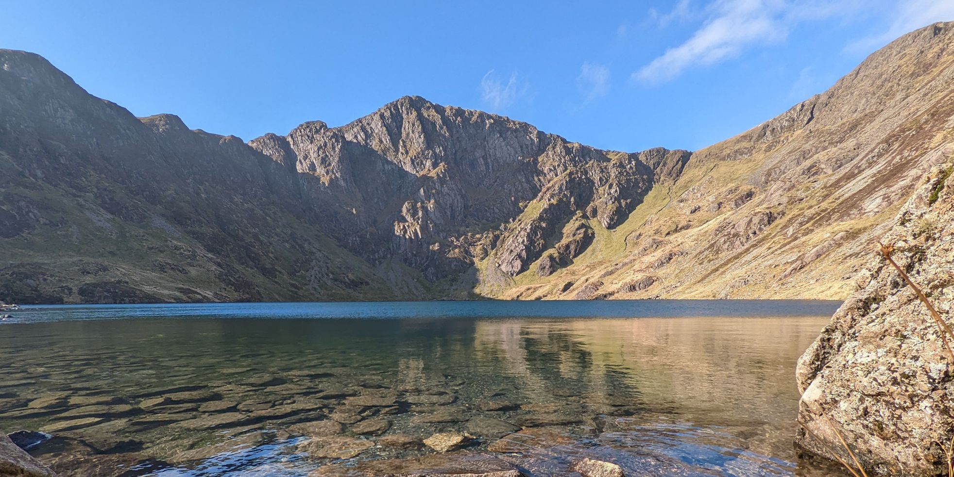
Hike Wales’ silent giants — Southern Eryri (Snowdonia)
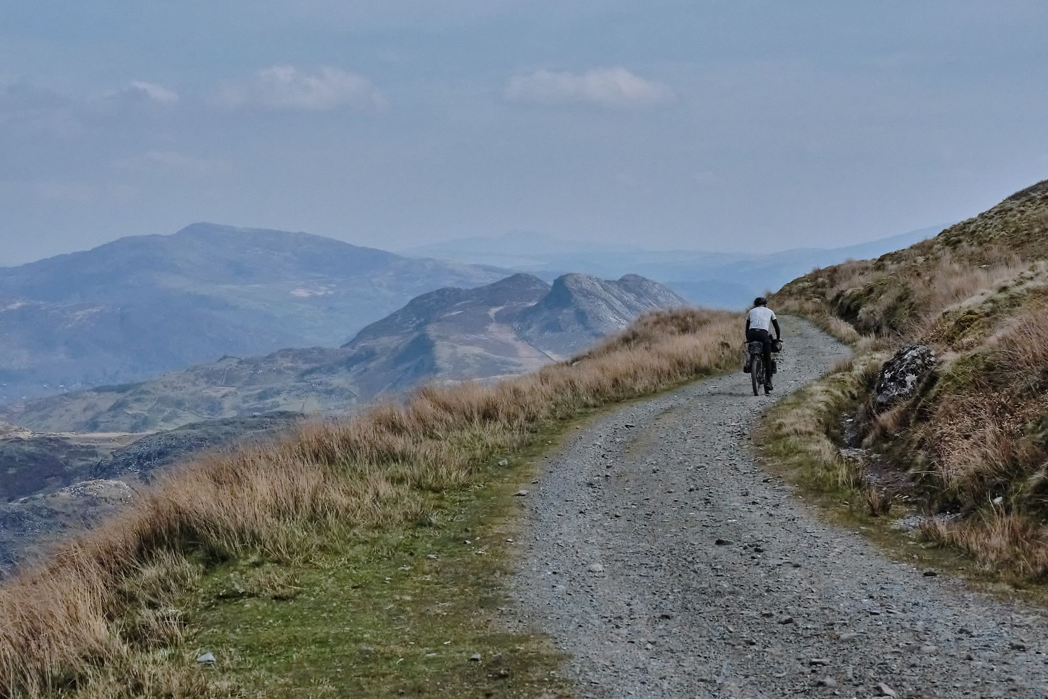
Bikepacking the length of Wales from Worms Head to Great Orme
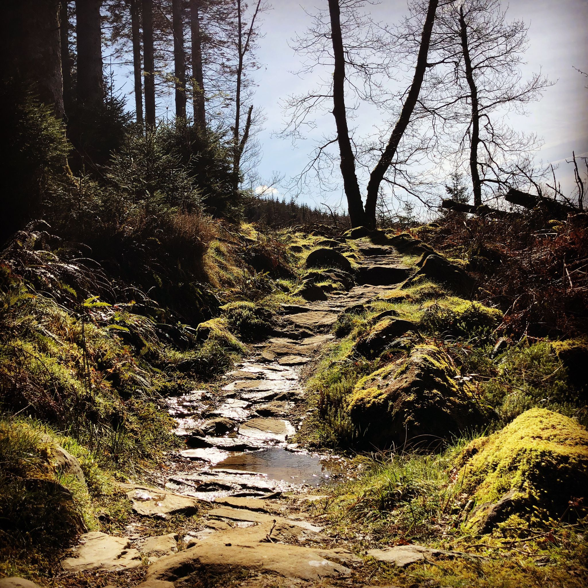
Ride the UK's first trail centre — Coed y Brenin MTB trails
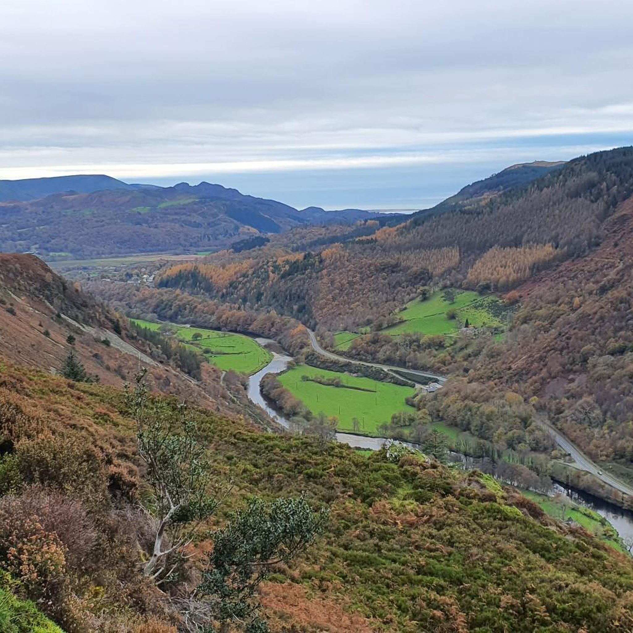
MTB Trails around Ganllwyd
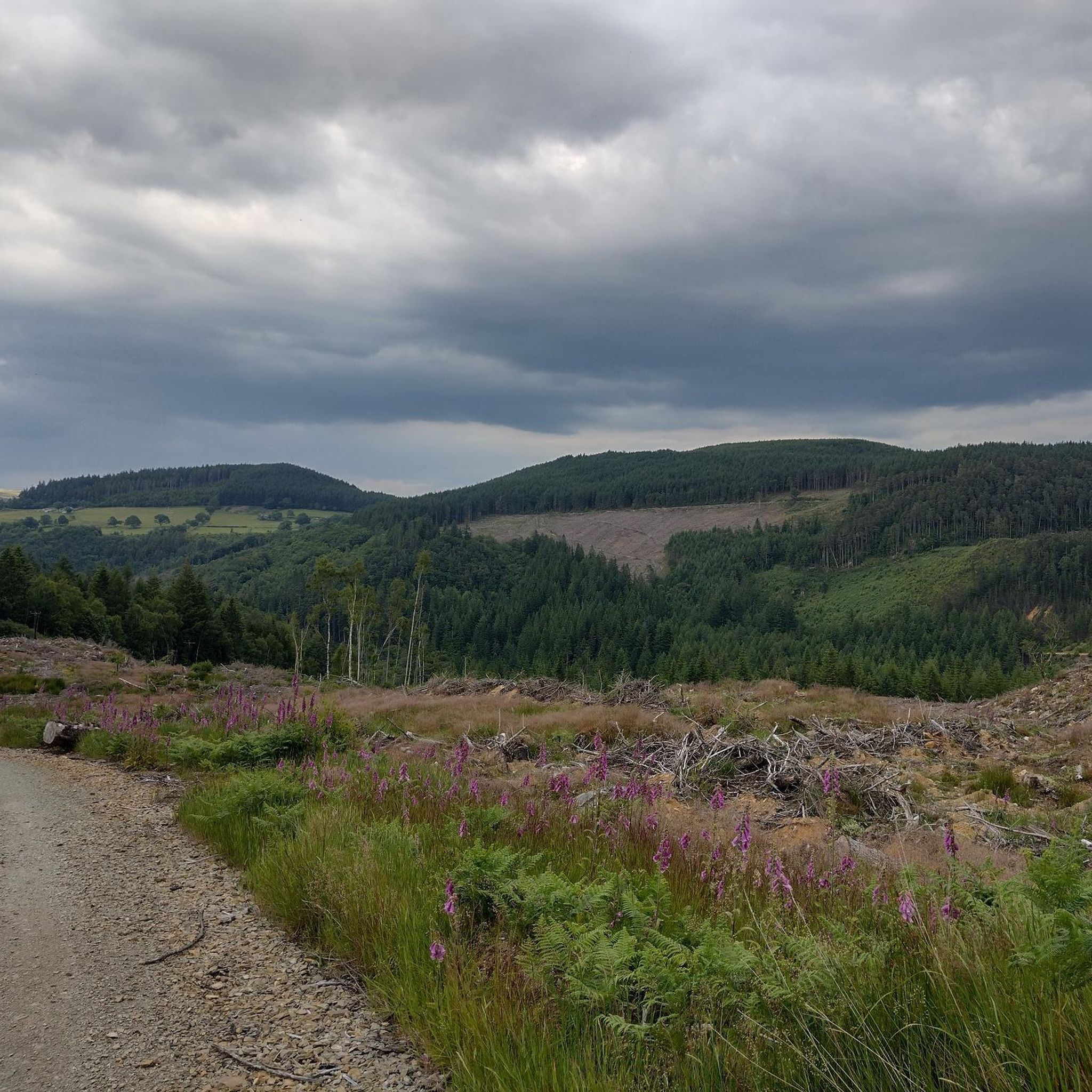
Hiking around Ganllwyd
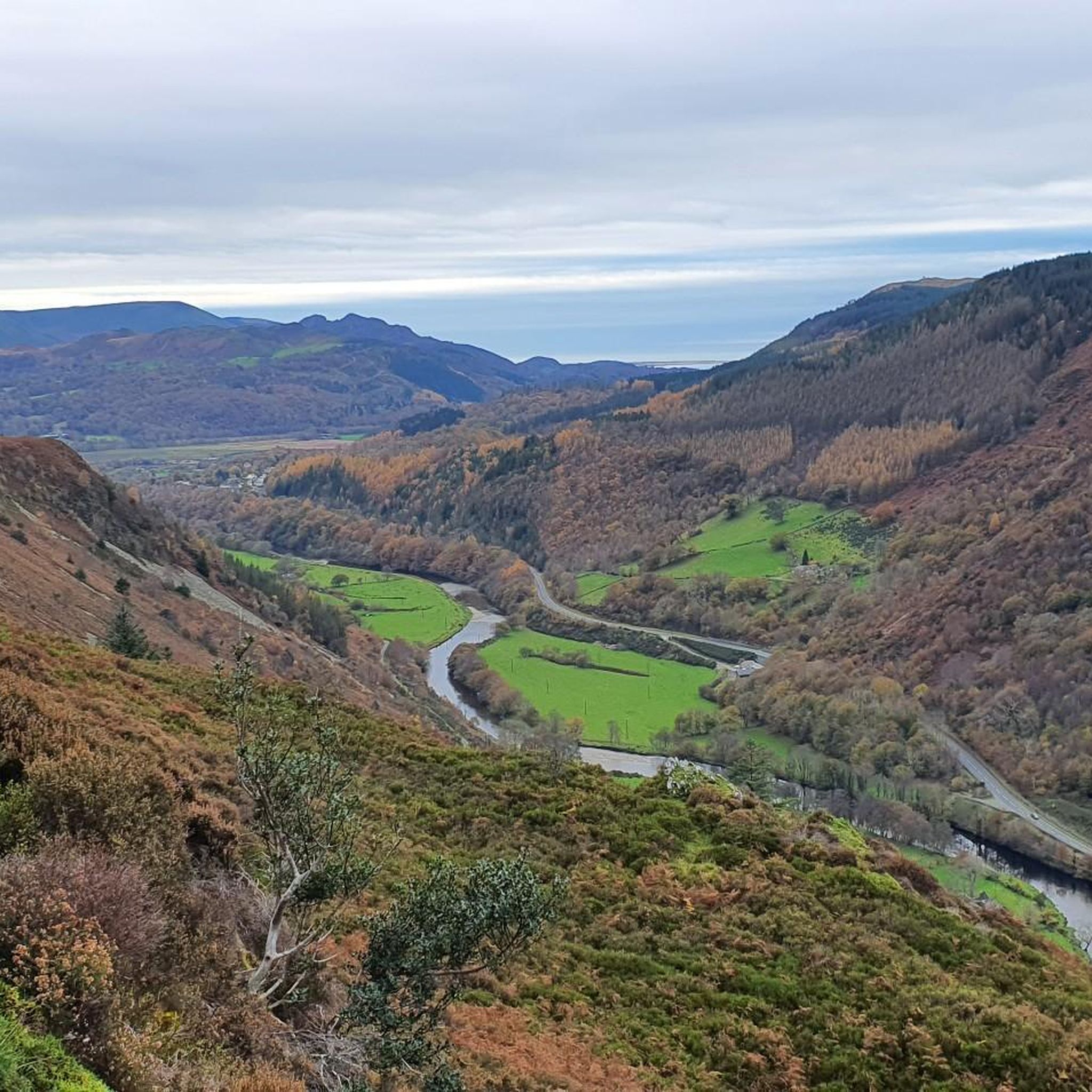
Running Trails around Ganllwyd
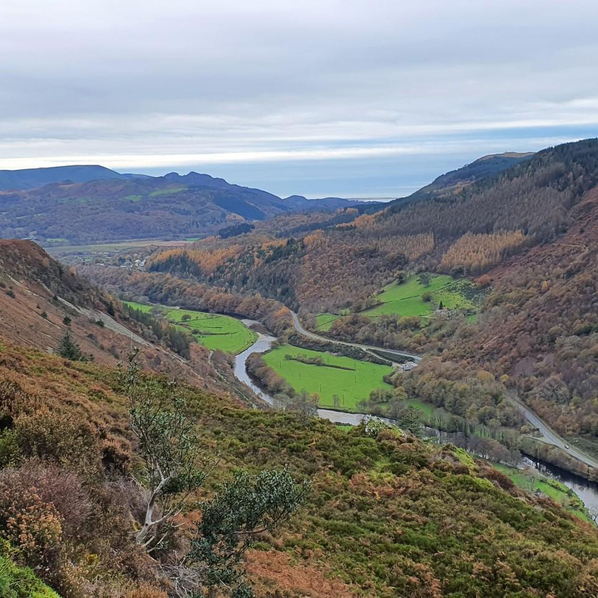
Road Cycling Routes around Ganllwyd
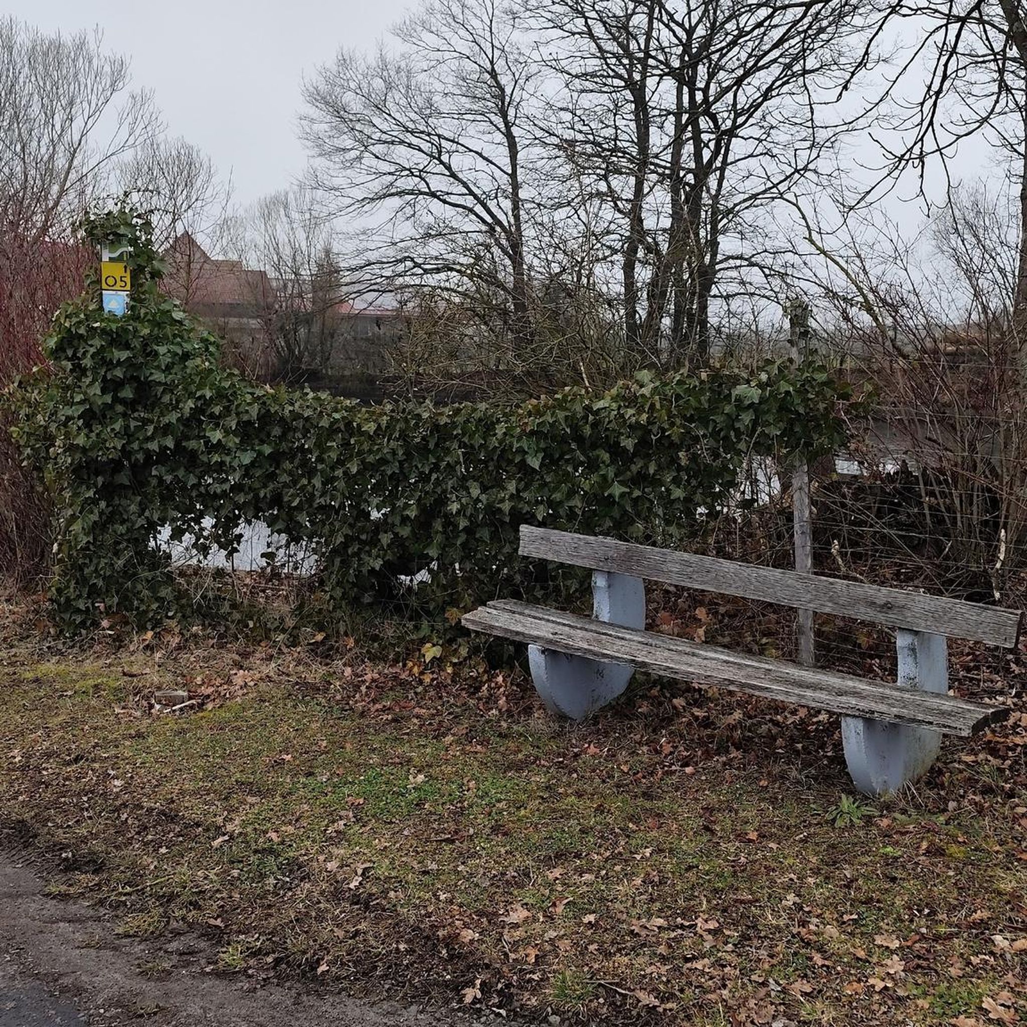
Gravel biking around Ganllwyd
Cycling around Ganllwyd
Other adventures around Ganllwyd


Tips from the Community

Quieter than Penygadair but with equally impressive views. Great for a spot of lunch.
0
0

According to legend, Cader is named after a giant called Idris Gawr. 'Cadair Idris' means 'Chair of Idris' in English, while 'Cader' can also refer to an ancient fortress. The place is known as Cader Idris rather than Cadair, but both names are used. The most famous local fable is that if you spend the night on the mountain, you will go mad or become a poet. (Visit Wales)
6
0
It is worth the effort. At the top, you enjoy a beautiful view in all directions. It cannot be captured in photos.
6
0

It is a steep climb to get here from either the north or south, but easier than Rhinog Fawr from the west. Great views, and the cliffs of the west side side are a playground for rockclimbers.
0
0
The Rhinogs are rightly recognised as being the roughest hills in Wales, so any ascent should bear that in mind. The easiest and clearest route is from the East, starting from the small car park at the end of the lane off the A470. This route is easy to follow and relatively easy to walk. The routes from the west include very difficult walking and few paths.
0
0

Cadair Idris, on the southern edge of Eryri (Snowdonia), is a majestic mountain and a grand adventure for runners. Standing at 2,930 feet (893 m), it's a challenging ascent, but the paths are good and the views - if you're lucky enough to visit on a clear day - are spectacular. Most people will use the Pony Path from the north or the Minffordd Path from the south, both of which offer an engaging way to climb or descend the mountain. The two llyns (one on each side of the mountain) can be added into a run to create a figure of eight from either side, with amazing scenery and lots of ascent and descent. Underfoot, the trails are well-maintained but the summit is quite rocky. There's a roomy stone shelter near the summit, handy for taking a break out of the wind before tackling the descent.
0
0

The Cadair Idris is certainly not the highest mountain in Wales. Still, it was definitely worth climbing this mountain. Mountains in Wales have an ancient look to them in my opinion. The weather can be very unpredictable and changeable, which means something adventurous and mysterious. This walk is started via the pony path, between trees along a lovely stream. It opens out onto a mountainside of grass and heather while also overlooking rugged slopes. It is rocky at the top of the mountain. Also the first descent via the Fox path. You descend between mountain lakes and see the sea in the distance. Then you come to a beautiful moorland where a stream meanders through and runs between grazing sheep. You end up in a fresh green area. Tip: A good GPS is recommended. When the fog sets in, you as a tourist really do not succeed in orienting yourself on your location. And the weather can be fierce.
3
0

The northeastern high point on the Cadair Idris massif, Mynydd Moel sees a fraction of the footfall of the main Penygadair summit. However, it's a wonderful place to gaze out across the Harlech Dome towards the Rhinogs and the famous peaks of northern Snowdonia.
3
1
Frequently Asked Questions
What are the most recommended mountain peaks to hike near Ganllwyd?
For a truly majestic experience, consider Penygadair summit, Cadair Idris, renowned for its imperious cliffs and scenic tarns. If you prefer a wilder, more rugged adventure, the Rhinogydd range offers peaks like Rhinog Fawr Summit Cairn and Rhinog Fach Summit, known for their untamed landscapes and expansive views of the Welsh west coast.
How challenging are the mountain peaks around Ganllwyd?
The difficulty varies significantly. Peaks like Cadair Idris offer challenging ascents with well-maintained paths. The Rhinogydd range, including Rhinog Fawr and Rhinog Fach, is known for being some of the wildest and roughest hills in Wales, providing a more solitary and demanding hiking experience. There are also easier, scenic walks around the waterfalls and woodlands of Coed Ganllwyd for less strenuous options.
What are the elevations of the notable peaks in the Ganllwyd area?
The most prominent peak, Cadair Idris, stands at 893 meters (2,930 feet). Closer to Ganllwyd, Craig y Ganllwyd reaches 430.9 meters (1414 feet). Other peaks in the rugged Rhinogydd range, such as Y Garn, Rhinog Fawr, and Rhinog Fach, also offer significant elevations and challenging terrain.
Which peaks offer the best panoramic views near Ganllwyd?
For breathtaking vistas, Penygadair summit, Cadair Idris, provides spectacular views on clear days, encompassing the southern part of Snowdonia. From Rhinog Fach Summit and Rhinog Fawr Summit Cairn, you can enjoy expansive views that stretch across the Welsh west coast. Even lower summits like Diffwys Summit offer great views of the estuary and out to sea.
Are there family-friendly mountain walks or activities near Ganllwyd?
While some peaks are challenging, the area around Ganllwyd offers family-friendly options. The Coed Ganllwyd National Nature Reserve features circular walks along the River Gamlan, passing the impressive Rhaeadr Ddu (Black Falls). These routes vary in difficulty, with some being short, easy strolls through ancient woodlands, perfect for families. The Coed-y-Brenin Forest Park also has a network of paths suitable for various ages.
What natural features can I explore besides mountain peaks?
Beyond the peaks, Ganllwyd is rich in natural beauty. The area is renowned for its captivating waterfalls, particularly Rhaeadr Ddu (Black Falls) within Coed Ganllwyd National Nature Reserve. You can also explore ancient oak woodlands, which are designated Sites of Special Scientific Interest (SSSI) due to their rich biodiversity, including a remarkable community of mosses and liverworts. The turbulent rivers and diverse wildlife, such as deer, red squirrels, and various birds, add to the natural appeal.
What outdoor activities can I do near these mountain peaks?
The region around Ganllwyd is a hub for outdoor enthusiasts. Besides hiking the mountain peaks, you can explore numerous trails for different sports. For hiking, check out routes like the Coed Ganllwyd Waterfalls loop. Mountain biking is popular in Coed-y-Brenin Forest Park, with trails such as the Beast of Brenin. Road cycling routes, like the Dolgellau figure-of-8, also offer scenic rides. You can find more details on these activities in the Hiking around Ganllwyd, Road Cycling Routes around Ganllwyd, and MTB Trails around Ganllwyd guides.
What is the best time to hike the mountains around Ganllwyd?
The best time to hike is generally during spring, summer, and early autumn when the weather is milder and days are longer. The waterfalls are particularly spectacular after heavy rain, which can occur year-round. While the Rhinogydd range offers a sense of wildness, be prepared for potentially challenging conditions, especially in winter, and always check local weather forecasts before heading out.
Are there any cultural or historical sites near the mountain peaks?
Yes, the area has historical significance. You can find remnants of an old Roman road and evidence of past gold mining activities. Dolmelynllyn Hall, now a National Trust property, is also located nearby, offering a glimpse into the region's heritage. The mountains themselves, like Cadair Idris, are steeped in Welsh myth and legend.
What kind of wildlife can I expect to see in the forests and mountains?
The forests surrounding Ganllwyd are teeming with diverse wildlife. Keep an eye out for deer, red squirrels, and otters. Birdwatchers might spot buzzards and red kites soaring overhead. The rich biodiversity of the ancient woodlands, particularly the temperate maritime Bryophyte community in Coed Ganllwyd, also makes it a fascinating area for nature observation.
Where can I find parking for walks and hikes near Ganllwyd?
Parking is available at various starting points for trails. For instance, the easiest ascent of Rhinog Fawr typically starts from a small car park off the A470 to the east. For walks around Coed Ganllwyd Waterfalls, parking is often available at the Coed Ganllwyd National Nature Reserve or Tyddyn Gwladys Car Park. Always check specific trailheads for designated parking areas.
What makes the Rhinogydd range unique compared to other Snowdonia peaks?
The Rhinogydd range, home to peaks like Rhinog Fawr and Rhinog Fach, is celebrated for its wildness and ruggedness. It offers a more solitary hiking experience compared to the more crowded peaks of Snowdonia. The terrain is craggy and vegetated, providing a full-on adventure for those seeking less-trodden paths and a true sense of wilderness, along with stunning mountain-scape scenery and abundant flora and fauna.
Are there any easy mountain hikes near Ganllwyd?
While many peaks offer challenging climbs, there are easier options. For instance, the Coed Ganllwyd Waterfalls loop from Coed Ganllwyd National Nature Reserve is rated as easy, offering a scenic walk through woodlands and past waterfalls. These types of trails provide a taste of the mountain environment without the strenuous ascent of higher peaks.
Most popular routes around Ganllwyd
Most popular attractions around Ganllwyd

Get inspired with the komoot mobile app


Explore more
See even more amazing summits around Ganllwyd with these guides:
