The best mountain hikes around Llanddeiniolen
4.9
(14)
223
hikers
14
hikes
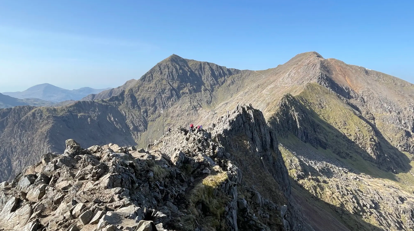
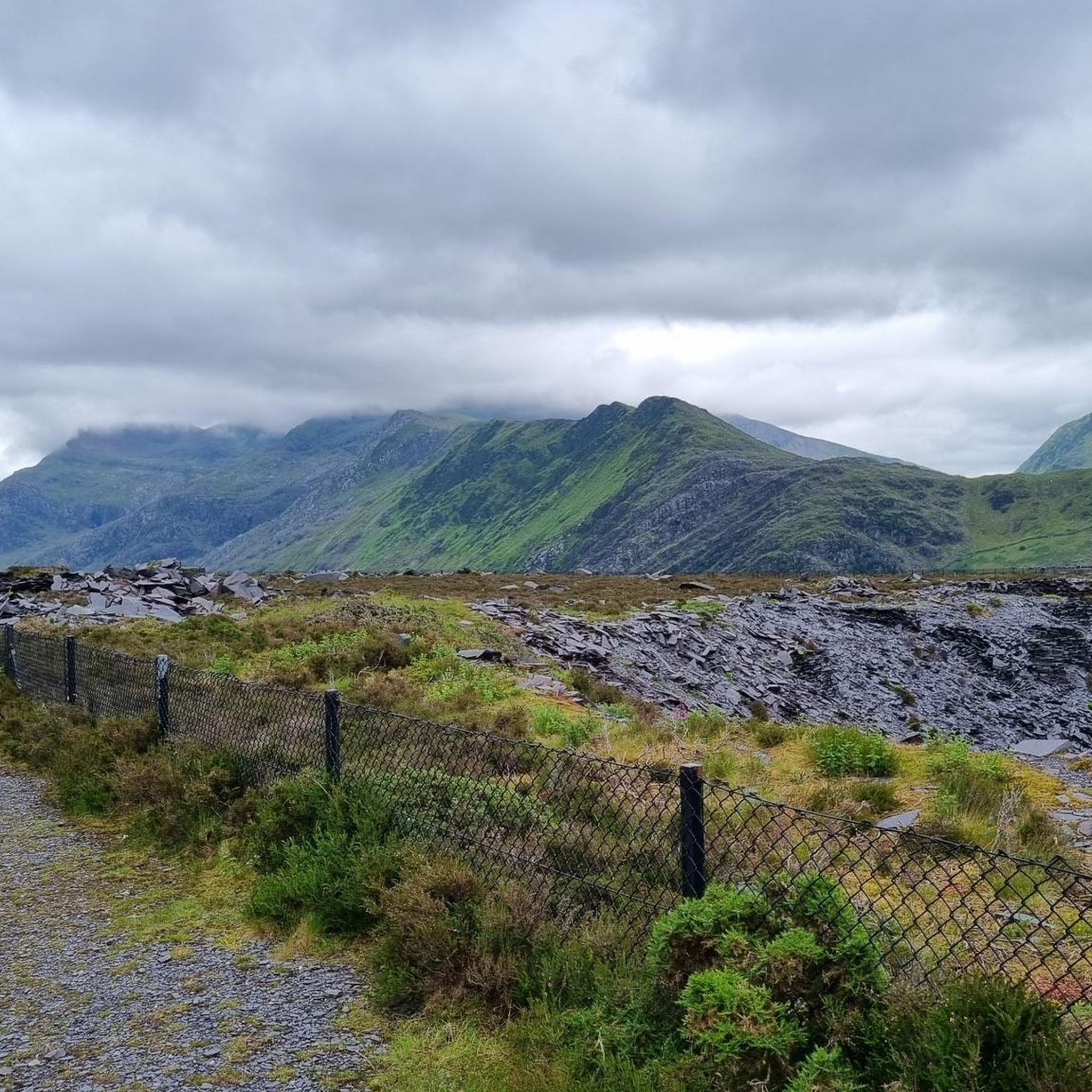
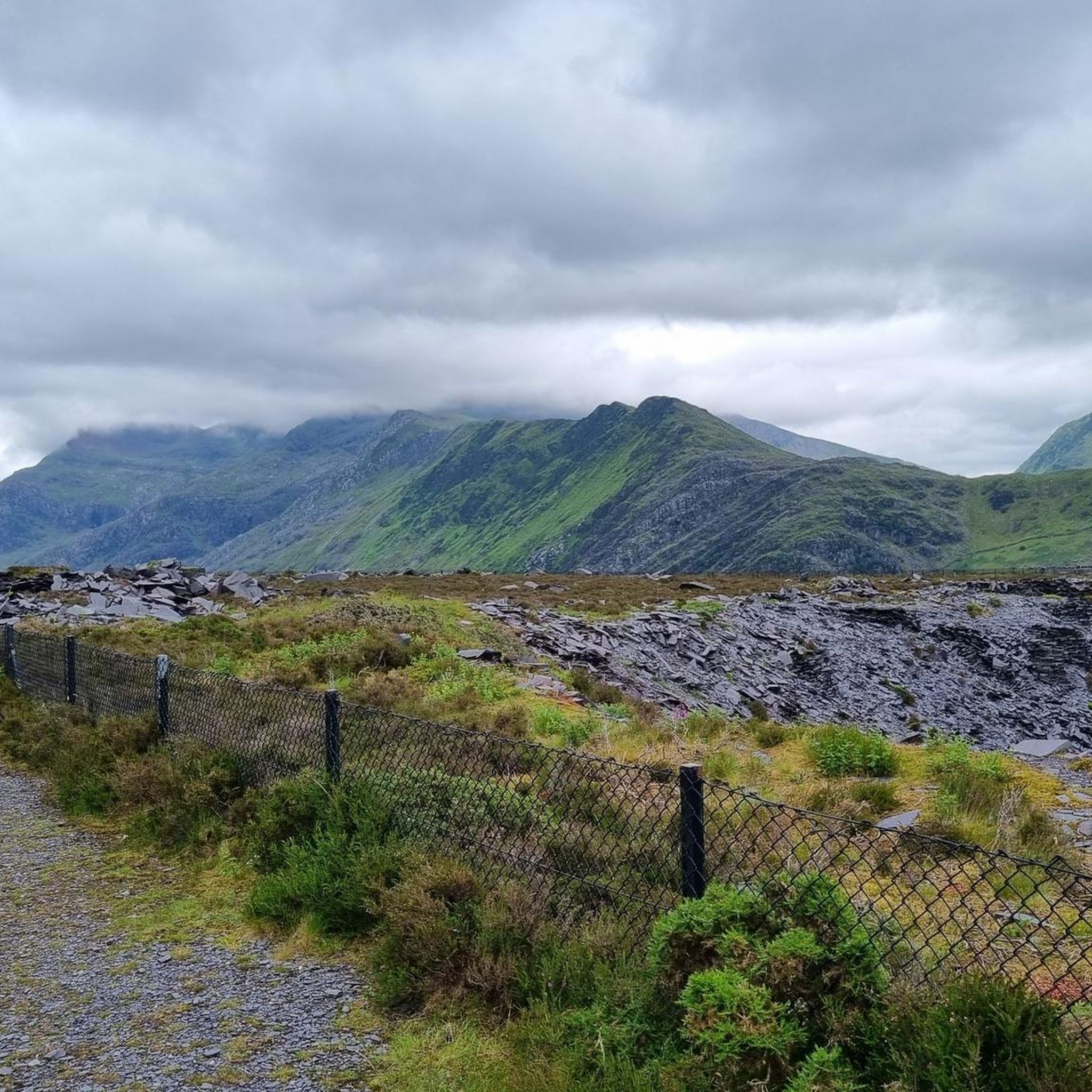
Mountaineering routes around Llanddeiniolen are situated at the doorstep of Eryri (Snowdonia) National Park, offering access to a range of imposing peaks. The region is characterized by dramatic mountainous landscapes, including Wales' highest mountain, Snowdon, and the rocky terrain of Tryfan. This area provides diverse natural features, from high summits with panoramic views to glacial lakes and rugged valleys, catering to various mountaineering experiences.
Best mountaineering routes around Llanddeiniolen
- The most popular mountaineering route is Snowdon Summit loop from Llanberis…
Last updated: July 8, 2026
4.7
(6)
67
hikers
15.2km
05:36
950m
950m
Hard mountaineering route. Very good fitness required. Mostly accessible paths. Sure-footedness required.
36
hikers
6.74km
03:34
610m
610m
Hard mountaineering route. Good fitness required. Sure-footedness, sturdy shoes and alpine experience required.

Sign up for free
19
hikers
6.67km
03:01
560m
560m
Hard mountaineering route. Good fitness required. Sure-footedness, sturdy shoes and alpine experience required.
5.0
(1)
6
hikers
9.74km
03:39
640m
640m
Moderate mountaineering route. Good fitness required. Easily-accessible paths. Suitable for all skill levels.
5.0
(1)
9
hikers
3.70km
02:42
550m
550m
Hard mountaineering route. Good fitness required. Sure-footedness, sturdy shoes and alpine experience required.
Get access to more routes and recommendations from other explorers.
Sign up for free
Already have an account?
Our route recommendations are based on thousands of hikes, rides, and runs completed by other people on komoot.
Start today with a free account
Your next adventure awaits.
Login or Signup

Other adventures around Llanddeiniolen

Tips from the Community

planned to take this route but parking is scarce, so be careful
3
0

Huge angled boulder that you can see from the valley below. It can be climbed with care, but is polished these days.
0
0

Rhaeadr Idwal is the scenic waterfall formed as the outflow of Llyn Idwal tumbles toward the Ogwen Valley. Cascading over ancient volcanic rock, it is a highlight of the approach path from Ogwen Cottage. Nearby, the Devil’s Appendix plunges 93 meters down the cliffs of Twll Du, making it the tallest single-drop waterfall in Wales. These falls are most dramatic after heavy rain or when frozen into spectacular ice columns in winter.
0
0
See this write up - https://www.komoot.com/tour/2449300285 It explains why this route is so good.
0
0
This route is so much fun - and is part of what is probably the best grade 1 scramble in Snowdonia.
0
0
The south ridge is the easier way to reach the top of Tryfan, but it still has it's moments near the top.
1
0
Frequently Asked Questions
How many mountaineering routes are available around Llanddeiniolen?
There are over 30 mountaineering routes around Llanddeiniolen, offering a wide range of experiences. The majority of these, 29 to be precise, are rated as difficult, while 4 are considered moderate. This variety ensures options for different skill levels, though the area is predominantly known for its challenging ascents.
What kind of terrain will I encounter on mountaineering routes near Llanddeiniolen?
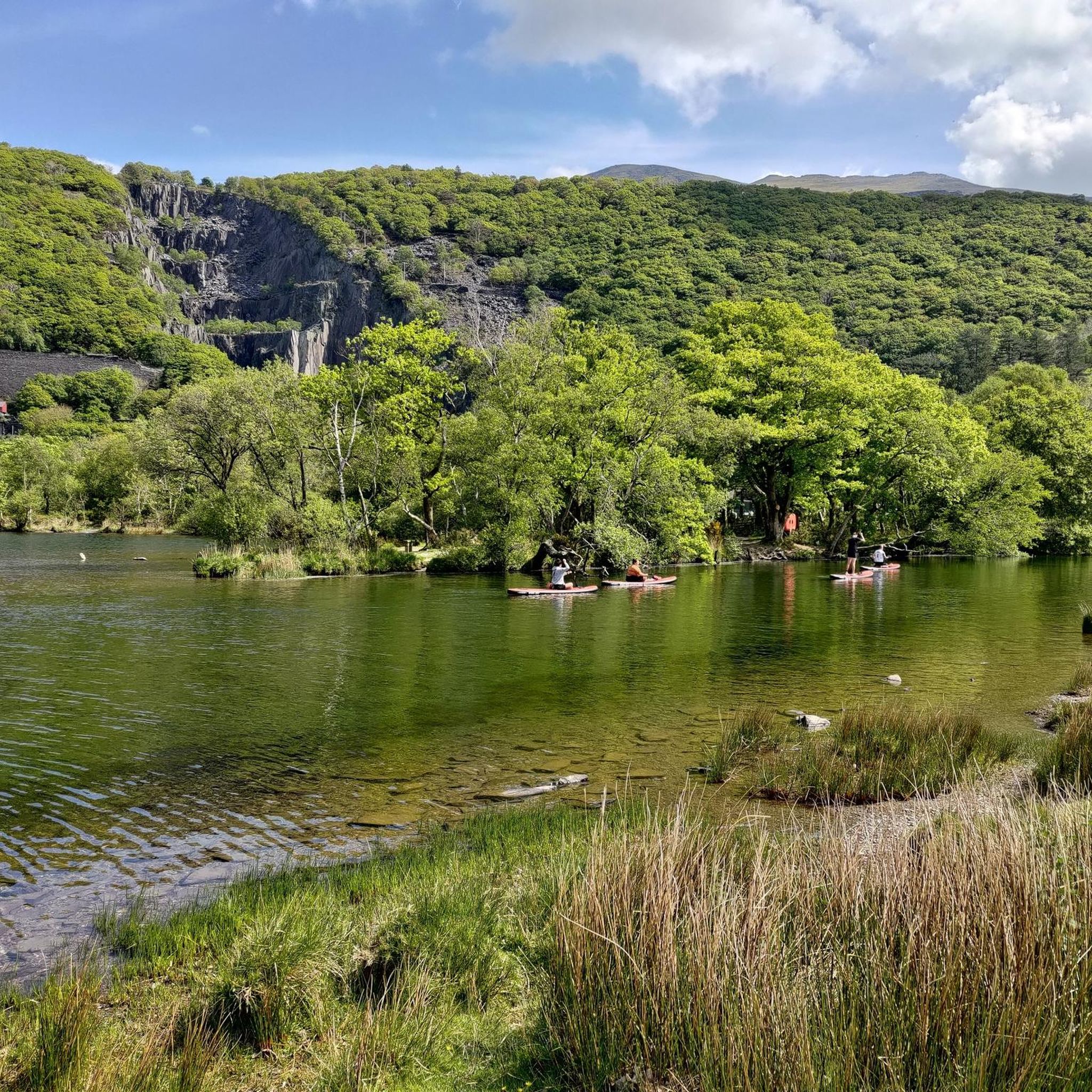
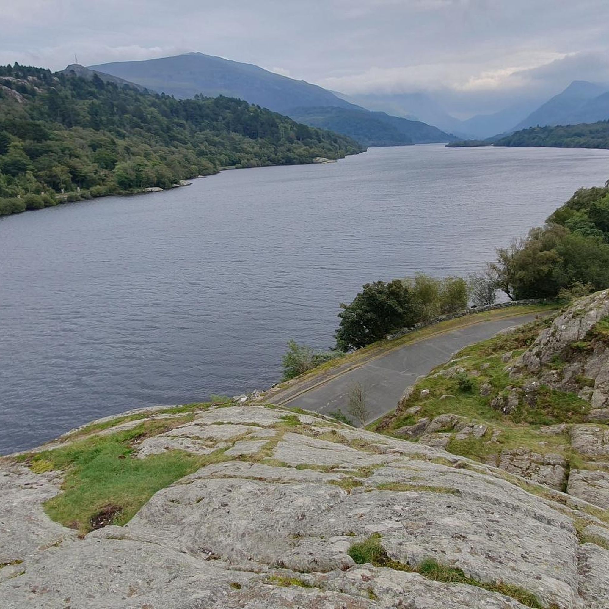
Mountaineering routes near Llanddeiniolen are characterized by dramatic mountainous landscapes, imposing peaks, and rocky terrain. You'll find everything from the high summits of Snowdon and Glyder Fawr to the exhilarating rocky playground of Tryfan. The area also features glacial lakes like Llyn Llydaw and rugged valleys, providing diverse natural features for exploration.
Are there any easier mountaineering routes suitable for beginners?
While most routes are challenging, there are some moderate options available. For instance, the Castell Fawr rock formation – Parc Cenedlaethol Eryri loop from Tryfan is a moderate 6.2-mile (10.0 km) trail that offers a taste of the rocky landscapes within Eryri National Park without the extreme difficulty of some other ascents. It's a good introduction to the area's terrain.
What are some notable landmarks or viewpoints I can see along the routes?
The region is rich with natural and historical landmarks. Along the routes, you might encounter the dramatic Ruins of the Britannia Copper Mine at Llyn Llydaw, or pass by stunning glacial lakes such as Llyn Llydaw and Llyn Bochlwyd. The summits themselves, like Y Garn Summit, offer magnificent panoramic views of Snowdon, Crib Goch, and the Carneddau range on clear days.
Are there any circular mountaineering routes in the area?
Yes, many of the mountaineering routes around Llanddeiniolen are circular, allowing you to experience varied scenery without retracing your steps. Examples include the Snowdon Summit loop from Llanberis, a challenging 9.4-mile (15.1 km) ascent to Wales' highest peak, and the Pen Yr Ole Wen – Carnedd Llewelyn Summit loop from Tryfan, which traverses two major summits.
What is the best time of year for mountaineering in Llanddeiniolen?
The best time for mountaineering in Llanddeiniolen, particularly for the higher peaks, is generally from late spring to early autumn (May to October) when weather conditions are more stable and daylight hours are longer. However, conditions in the mountains can change rapidly, so it's always essential to check the local forecast and be prepared for all eventualities, even in summer.
Is parking available for the mountaineering routes?
Yes, parking is generally available near the trailheads for many popular mountaineering routes. For routes accessing Snowdon, Llanberis offers parking options. For routes starting from the Tryfan area, there are often designated parking areas, though these can fill up quickly during peak season. It's advisable to arrive early, especially on weekends and holidays.
Can I access the mountaineering trailheads using public transport?
Public transport options are available to reach some of the trailheads, particularly those around the more popular areas like Llanberis and Ogwen Valley. Buses serve key locations within Eryri (Snowdonia) National Park, connecting villages and major starting points for mountain walks. Checking local bus timetables in advance is recommended for planning your journey.
Are there any family-friendly mountaineering options?
While many routes are challenging, some sections or lower-level paths might be suitable for families with older, experienced children. For a more moderate mountain experience, consider the Castell Fawr rock formation – Parc Cenedlaethol Eryri loop from Tryfan, which offers impressive scenery without the extreme demands of summiting the highest peaks. Always assess the difficulty and your family's capabilities carefully.
Are dogs allowed on the mountaineering trails around Llanddeiniolen?
Dogs are generally welcome on many trails within Eryri (Snowdonia) National Park, but it's crucial to keep them under close control, preferably on a lead, especially in areas with livestock or ground-nesting birds. Some routes may involve scrambling or difficult terrain that is not suitable for all dogs. Always follow the Countryside Code and local signage regarding dog access.
What do other mountaineers enjoy most about the routes in Llanddeiniolen?
The mountaineering routes around Llanddeiniolen are highly rated by the komoot community, with an average score of 4.8 stars from over 50 reviews. Mountaineers often praise the dramatic mountainous landscapes, the challenging yet rewarding ascents, and the extensive panoramic views from the summits. The diversity of terrain, from rocky playgrounds to glacial lakes, is also frequently highlighted.
Are there any challenging routes that involve scrambling or exposed sections?
Yes, Llanddeiniolen is a prime location for challenging mountaineering, including routes with significant scrambling and exposed sections. Tryfan, for example, is renowned for its exhilarating rocky playground, with its North Ridge offering classic scrambling options. The Bristly Ridge – The Cantilever Stone loop from Tryfan is another difficult route that provides an adventurous experience for experienced mountaineers.
Where can I find refreshments or accommodation near the mountaineering areas?
Llanddeiniolen and the surrounding villages, particularly Llanberis and those in the Ogwen Valley, offer various options for refreshments and accommodation. You'll find cafes, pubs, and guesthouses catering to outdoor enthusiasts. These locations serve as excellent bases for exploring the mountains and provide opportunities to refuel after a day on the trails.
Most popular routes around Llanddeiniolen
Most popular attractions around Llanddeiniolen

Get inspired with the komoot mobile app


Explore more
Browse the best Mountain Hikes & Routes in other regions.
