The 4 Most Amazing Peaks around Rhyl
Best mountain peaks around Rhyl are found in the wider Denbighshire and North Wales region, offering diverse hiking opportunities. While Rhyl itself is a seaside resort at a low elevation, the surrounding landscape features notable hills and peaks. These areas provide panoramic views and access to natural and historical sites. The region is known for its varied terrain, from forested hills to dramatic coastal rises.
Best mountain peaks around Rhyl
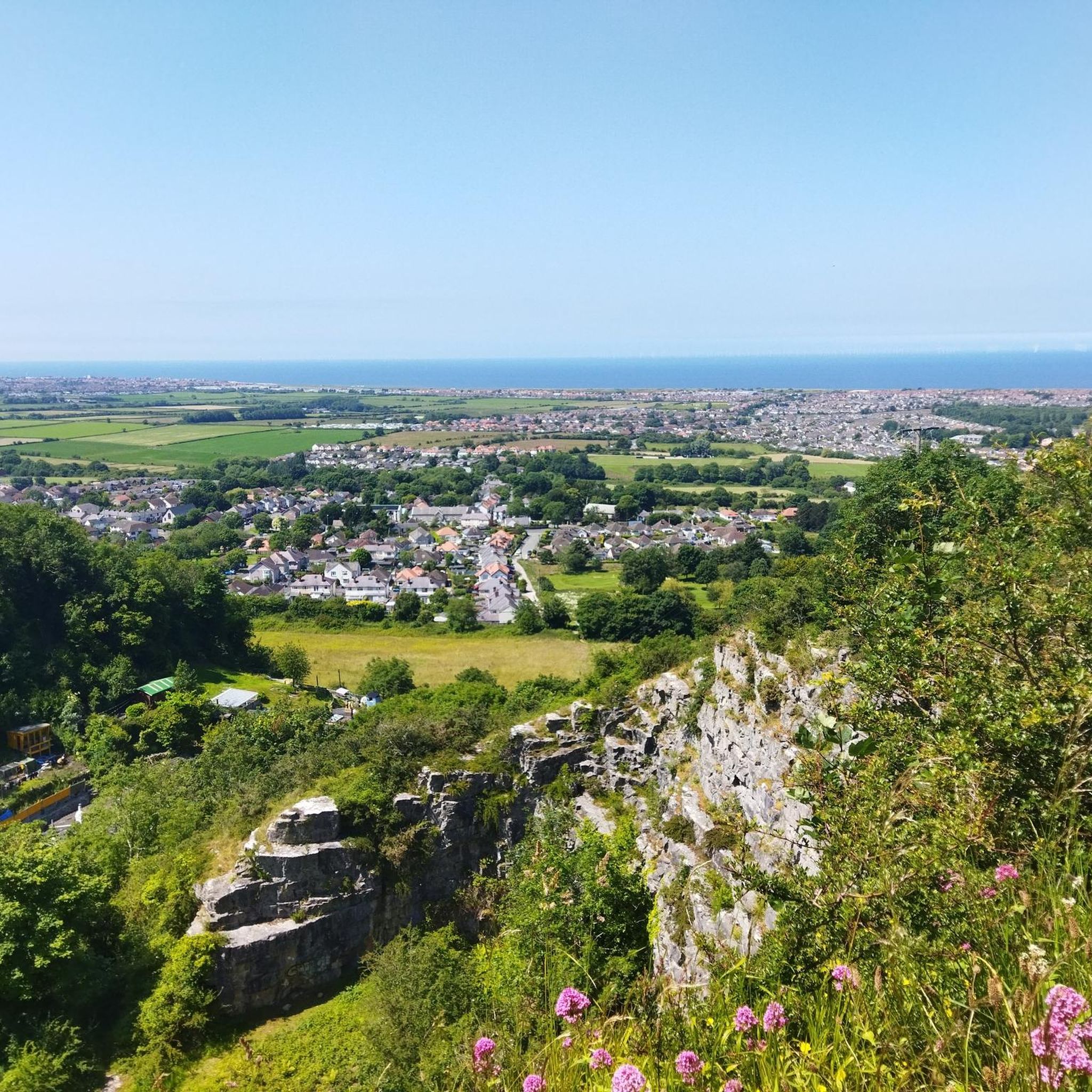
- The most popular mountain peaks is Graig Fawr Summit, a natural monument that rises sharply from the coastal plain. It offers views across the coast, surrounding hills, and on clear days, to Snowdonia and England.
- Another must-see spot is View of Gop Hill Cairn, a historical site with evidence of being a neolithic monument. This site at the northern end of the Clwydian Range likely served as an important lookout and hill fort.
- Visitors also love Mynydd y Cwm Memorial, a man-made monument on a hill in the Clwydian Range. This peak reaches a height of 304.8 meters and features a memorial on its summit.
- Rhyl is known for its historical sites, natural monuments, and man-made monuments. The area offers a variety of mountain peaks to see and explore, from Iron Age hill forts to dramatic coastal hills.
- The mountain peaks around Rhyl are appreciated by the komoot community, with 12 upvotes and 5 photos contributed by visitors.
Last updated: October 7, 2026
Castell Cawr
Highlight • Historical Site
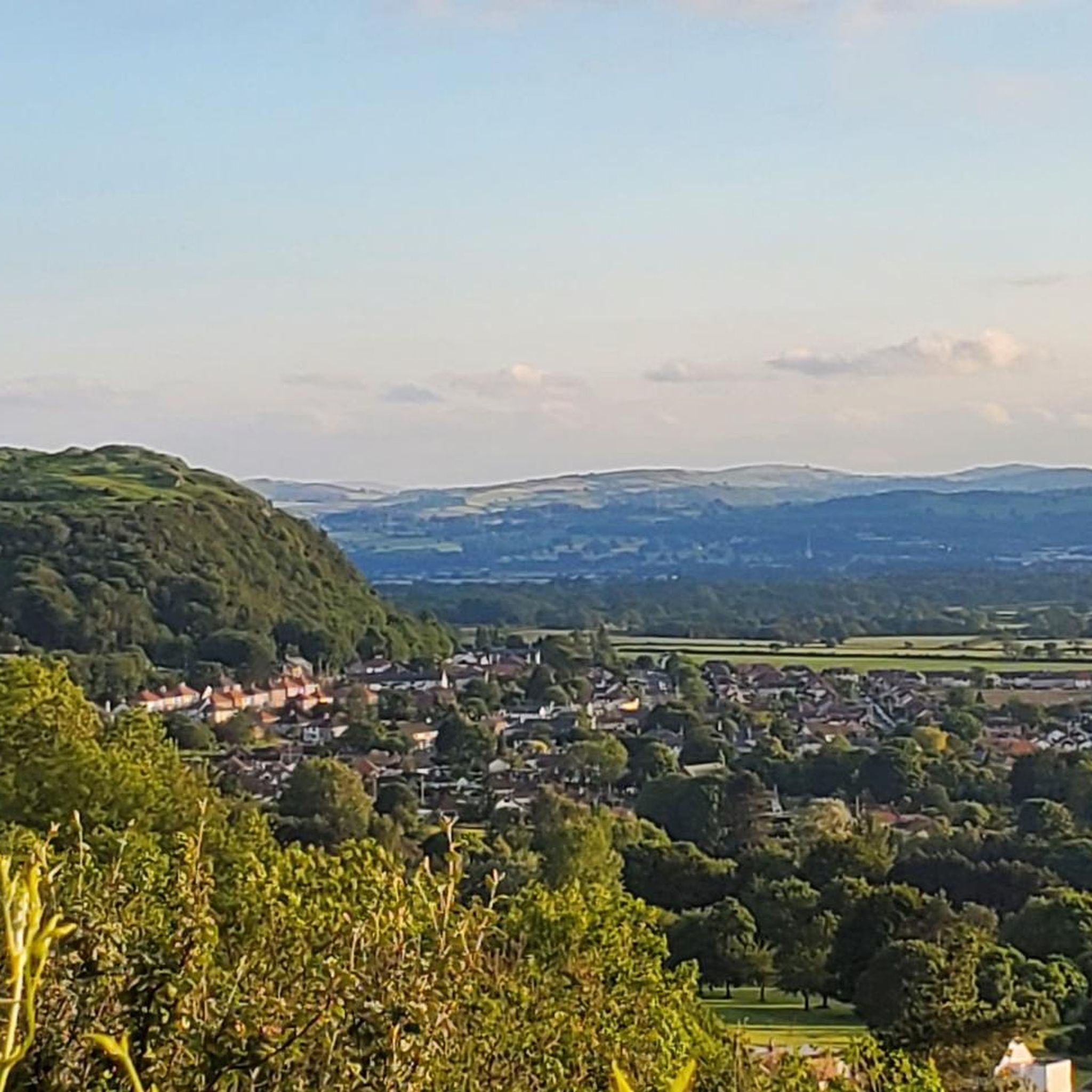
Thomas Pennant visited the area in the 18th century, and noted the existence of the hillfort. In 1860, James Halliwell-Phillipps wrote that the outline of the hillfort was obscured by vegetation, and identified the workings of a Roman lead mine on the hillside. The Welsh knew these excavations by the name "Ffos-y-bleiddiaid" ("Ditch of the Wolves")"
Source: en.m.wikipedia.org/wiki/Castell_Cawr
Tip by

Graig Fawr Summit
Highlight • Natural Monument
Tip by

Sign up now to discover places like this
Get recommendations on the best single tracks, peaks, & plenty of other exciting outdoor places.
Mynydd y Cwm Memorial
Highlight • Monument
Tip by

View of Gop Hill Cairn
Highlight • Historical Site
There is a natural cave to the south of the hill that's also worth exploring.
Tip by

Cefn-yr-Ogof Trig Point
Highlight • Monument
Tip by

Start today with a free account
Your next adventure awaits.

Other adventures around Rhyl

Tips from the Community

TP2095 - Cefn-Yr-Ogof | Trig Point | TrigpointingUK | TrigpointingUK https://share.google/wQIeDXyi0H3daeUZZ
0
0

"Castell Cawr, or Tan-y-Gopa as it is known locally, is a heavily forested hill above the town of Abergele in North Wales. On it is found the Iron Age hill fort of Castell Cawr, which overlooks the River Clwyd. Rare lesser horseshoe bats inhabit caves on the hill. The woods are owned by the Woodland Trust. The hill rises to 189 m (620 ft) above sea level, with extensive views to Snowdonia and the Clwydian Range. Thomas Pennant visited the area in the 18th century, and noted the existence of the hillfort. In 1860, James Halliwell-Phillipps wrote that the outline of the hillfort was obscured by vegetation, and identified the workings of a Roman lead mine on the hillside. The Welsh knew these excavations by the name "Ffos-y-bleiddiaid" ("Ditch of the Wolves")" Source: https://en.m.wikipedia.org/wiki/Castell_Cawr
0
0

Gop Hill cairn has a lot of evidence that it was a neolithic monument at the northern end of the Clwydian Range of hills. It was probably an important look out and hill fort. There is a natural cave to the south of the hill that's also worth exploring.
0
0

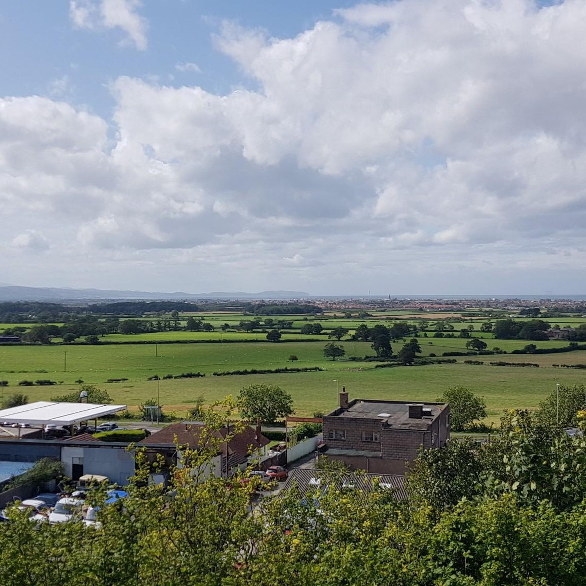
A dramatic hill that rises sharply from the coastal plain, From the top, there are fantastic views across the coast and towards the surrounding hills - and even to Snowdonia and England on a clear day. The whole site is owned by the National Trust and includes lots of footpaths to explore.
1
0

Mynydd y Cwm is a hill in the Clwydian Range in Denbighshire, North Wales. It reaches a height of 304.8 metres. It has recently been promoted to Marilyn status having a prominence of 150 metres. There is a memorial on the summit and a large woodland.
2
0
Frequently Asked Questions
What are some of the most notable mountain peaks and hills around Rhyl?
The region surrounding Rhyl offers several prominent hills and peaks. These include Castell Cawr, known for its Iron Age hill fort, Graig Fawr Summit with its dramatic coastal views, and Mynydd y Cwm in the Clwydian Range. Moel Famau, the highest peak in the Clwydian Range, is also a popular destination nearby.
Are there any historical sites on these peaks?
Yes, several peaks boast significant historical features. Castell Cawr is home to an Iron Age hill fort overlooking the River Clwyd. Additionally, Gop Hill Cairn is a neolithic monument and former hill fort, with a natural cave nearby.
Which peaks offer the best panoramic views?
For breathtaking vistas, Graig Fawr Summit is highly recommended, offering fantastic views across the coast, surrounding hills, and even Snowdonia and England on clear days. Castell Cawr also provides extensive views towards Snowdonia and the Clwydian Range.
What kind of natural features can I expect to see on these hills?
You'll find diverse natural landscapes. Castell Cawr is a heavily forested hill with caves inhabited by rare lesser horseshoe bats. Mynydd y Cwm also features a large woodland area, while Graig Fawr Summit is a dramatic hill rising sharply from the coastal plain, owned by the National Trust.
Are there family-friendly hiking options near Rhyl's peaks?
Many of the footpaths around peaks like Graig Fawr Summit are suitable for families. For easier walks, consider exploring the various routes listed in the Easy hikes around Rhyl guide, which includes options like the Rhyl Harbour and Pont y Ddraig loop.
What outdoor activities can I do near these mountain peaks?
Beyond hiking the peaks themselves, the area offers a range of outdoor activities. You can explore various hiking trails, including those accessible from bus stations. For cyclists, there are numerous road cycling routes that take you along the coast and through the surrounding countryside.
What is the best time of year to hike the peaks around Rhyl?
The spring and autumn months generally offer pleasant weather for hiking, with milder temperatures and often clearer views. Summer can be good, but prepare for potentially warmer conditions. Winter hikes are possible but require appropriate gear for colder, potentially wetter, and windier conditions, especially on exposed summits.
Are the peaks around Rhyl dog-friendly?
Most of the public footpaths and open access land on the hills and peaks around Rhyl are dog-friendly. However, it's always advisable to keep dogs on a lead, especially near livestock or protected wildlife areas, such as the caves at Castell Cawr which are home to rare bats.
Where can I find parking for these mountain walks?
Parking availability varies by location. For peaks like Castell Cawr near Abergele, or Graig Fawr Summit, there are often designated parking areas or roadside spots nearby. For Moel Famau, specific car parks are available at its base. Always check local signage for restrictions.
What is the elevation of the peaks in the Rhyl area?
While Rhyl itself is at a low elevation, the surrounding hills rise significantly. Castell Cawr reaches 189 meters (620 feet). Mynydd y Cwm stands at 304.8 meters. The highest peak in the nearby Clwydian Range, Moel Famau, is 555 meters (1,821 feet) above sea level.
Are there any unique wildlife or ecological features on these peaks?
Yes, Castell Cawr is particularly notable for its caves which are inhabited by rare lesser horseshoe bats. The woodlands managed by the Woodland Trust also contribute to the local biodiversity, offering habitats for various species.
Most popular attractions around Rhyl

Get inspired with the komoot mobile app


Explore more
See even more amazing summits around Rhyl with these guides:
