The best running trails around Gwernaffield and Pantymwyn
192
runners
21
runs
Jogging around Gwernaffield and Pantymwyn offers diverse terrain, from the dramatic hills of the Clwydian Range to picturesque valleys and woodlands. The area features notable natural elements like Moel Famau, the Alyn Valley Woods, and sections of the River Dee, providing varied landscapes for runners. Joggers can find paths through forests, along riverbanks, and up hills, with routes catering to different preferences and fitness levels. The region's network of trails includes both challenging ascents and more relaxed, scenic paths.
Best jogging routes around Gwernaffield and Pantymwyn
- The most popular jogging route is Leete Path – Loggerheads Country Park loop from Pantymwyn, a 4.6 miles (7.4 km) trail that takes 53 minutes to complete. This moderate route explores the natural beauty around Loggerheads Country Park.
- Another top favourite among local runners is Leete Path – Devil's Gorge Cave Entrance loop from Gwernaffield, a difficult 9.6 miles (15.4 km) path. This longer route follows the Leete Path, offering varied terrain and views of the Devil's Gorge.
- Local runners also love the Loggerheads Country Park – Leete Path loop from Pantymwyn, a 3.3 miles (5.4 km) trail leading through Loggerheads Country Park, often completed in about 36 minutes.
- Jogging around Gwernaffield and Pantymwyn is defined by the hills of the Clwydian Range, the Alyn Valley Woods, and river paths. The network offers options for easy, moderate, and difficult running, suitable for various ability levels.
- The guide includes highly-rated routes that showcase the best of the region's landscape. More than 180 runners have used komoot to explore Gwernaffield and Pantymwyn's varied terrain.
Last updated: July 7, 2026
53
runners
7.08km
00:46
90m
90m
Moderate run. Good fitness required. Mostly paved surfaces. Suitable for all skill levels.
31
runners
15.4km
01:43
300m
300m
Hard run. Very good fitness required. Mostly paved surfaces. Suitable for all skill levels.

Sign up for free
24
runners
5.55km
00:38
110m
110m
Moderate run. Good fitness required. Mostly paved surfaces. Suitable for all skill levels.
8
runners
5.05km
00:33
100m
100m
Moderate run. Good fitness required. Mostly paved surfaces. Suitable for all skill levels.
7
runners
9.95km
01:05
180m
180m
Moderate run. Good fitness required. Mostly paved surfaces. Suitable for all skill levels.
Get access to more routes and recommendations from other explorers.
Sign up for free
Already have an account?
Our route recommendations are based on thousands of hikes, rides, and runs completed by other people on komoot.
Start today with a free account
Your next adventure awaits.
Login or Signup

Tips from the Community


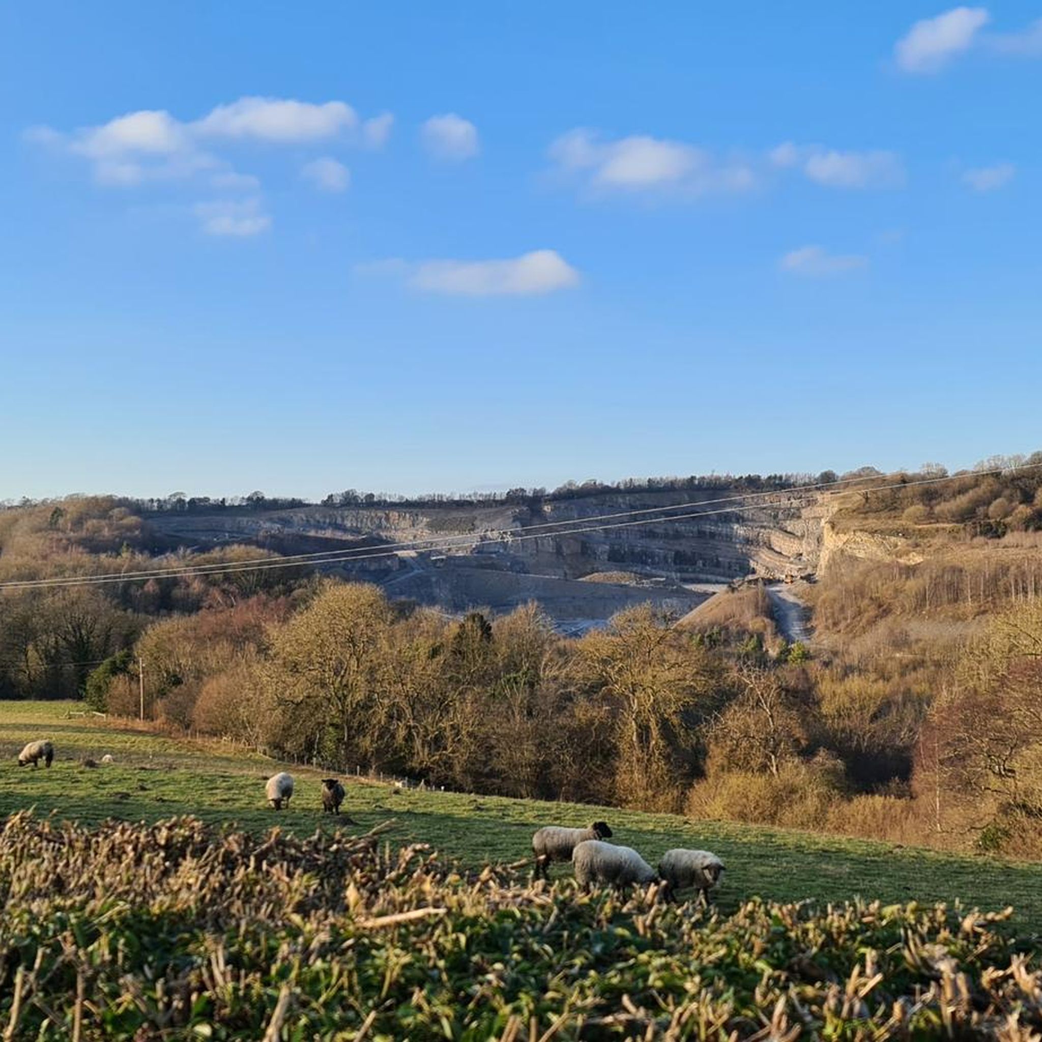
The site was the location of Pentre Mill, a corn mill dating to the early 19th century. The mill was powered by a water wheel near the River Alyn; the water wheel was closed in the 1940s and restored in the 1990s. The park was also the location of lead mining and quarrying.
4
0


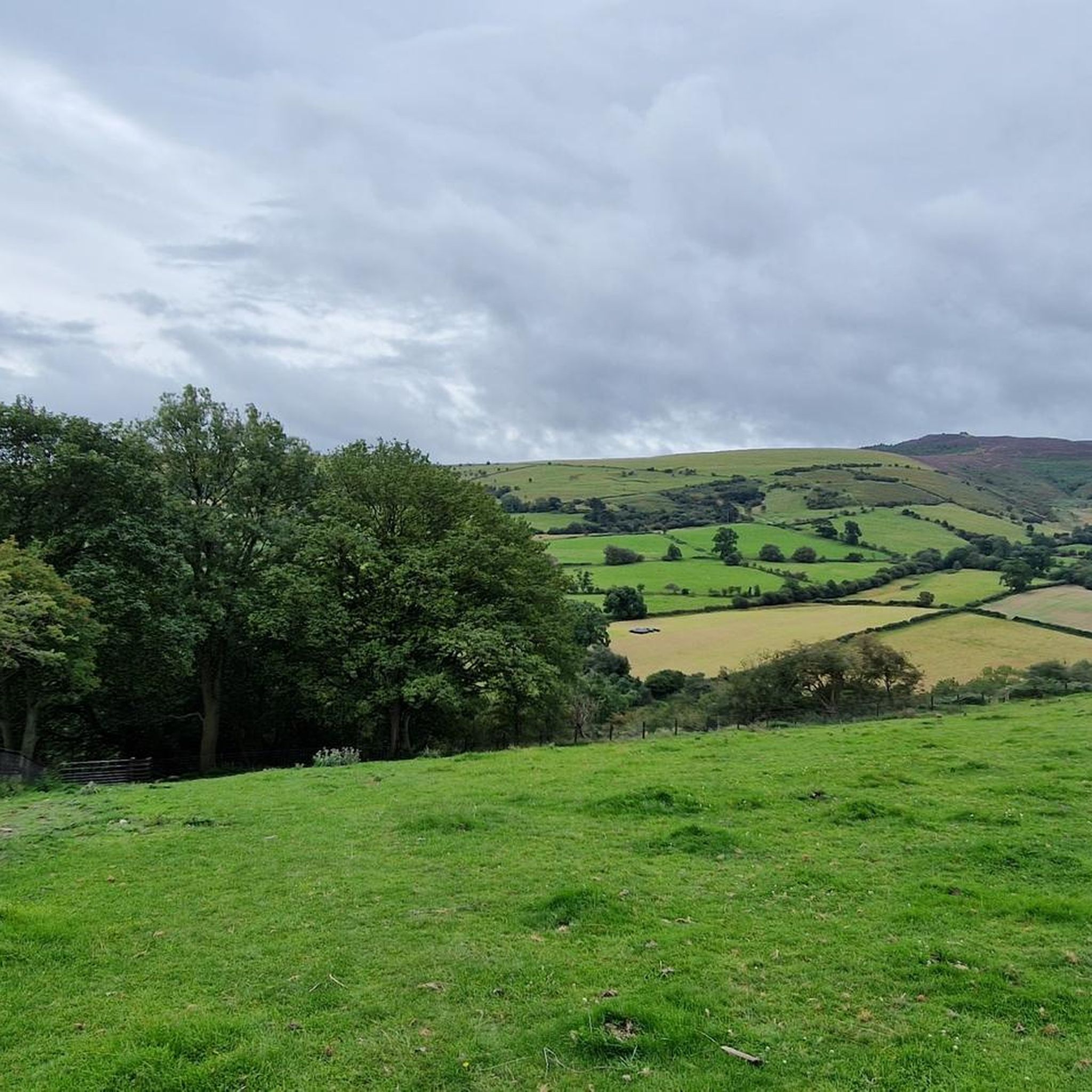
Great little surprise on a very nice walking path
1
0

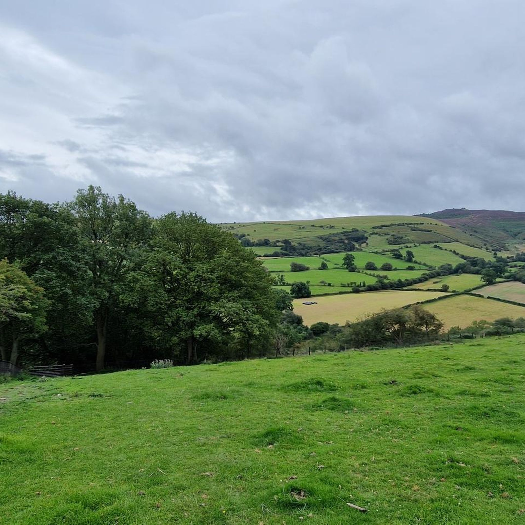
A section of woodland path following a leat built in the 1800s to divert water in the area's lead mining industry. The trail winds through deciduous woodland, under the slopes of the nearby Moel Famau - offering some great running terrain.
0
0


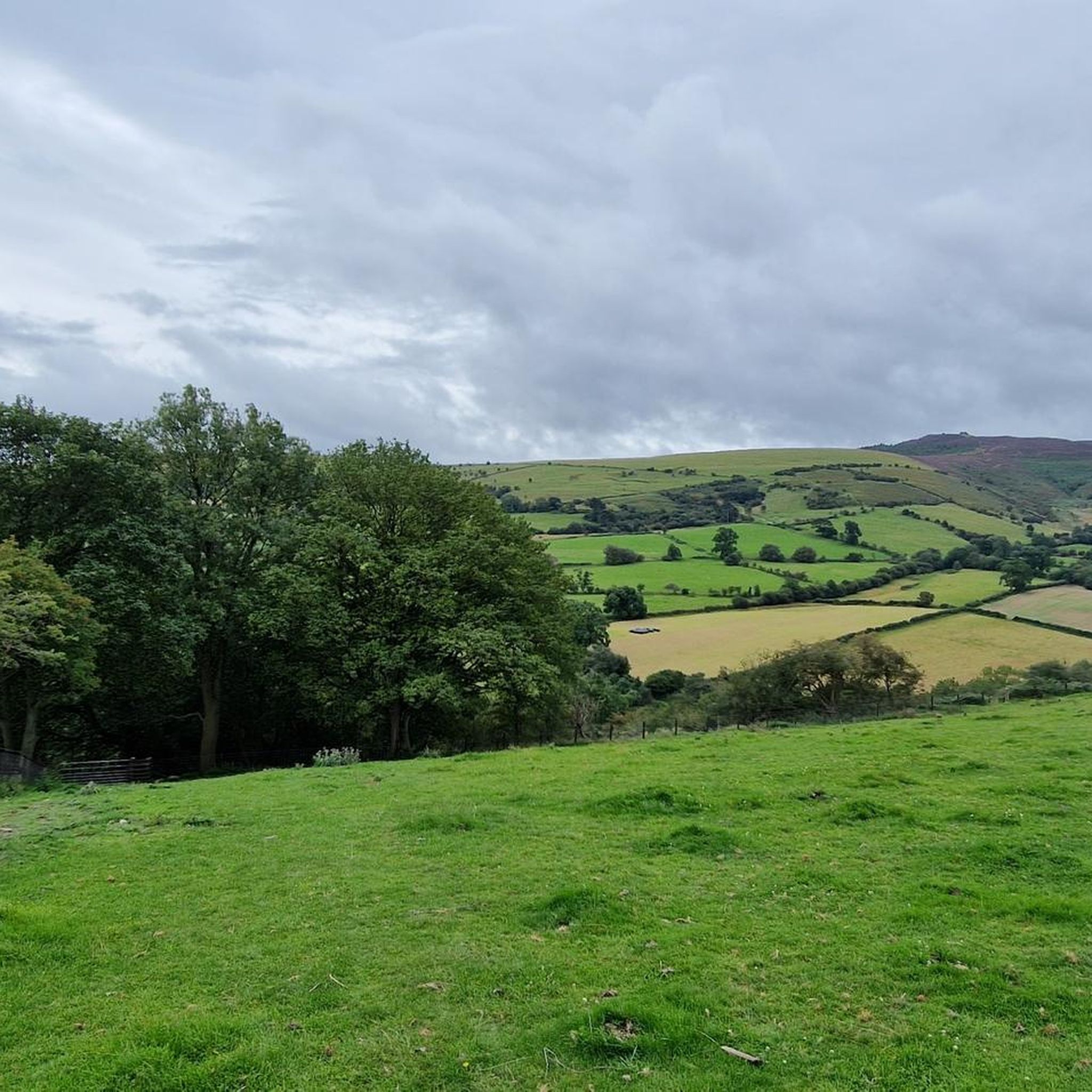
Grassy Plateau with a seat, high above Loggerheads Country Park with magnificent views across the valley. Long section of very steep steps to get up there, unless you come from the Pantymwyn village direction
2
0
Take a photo through the old camera set on a tripod and upload it to Instagram using #CRDV_AONB to add to the project to record the seasons of this area of Outstanding Natural Beauty
1
0
Frequently Asked Questions
How many running routes are available in Gwernaffield and Pantymwyn?
There are over 20 running routes around Gwernaffield and Pantymwyn, offering a variety of distances and difficulties. These trails are well-loved by the komoot community, with more than 180 runners having explored the area.
What kind of terrain can I expect on jogging routes in this area?
The jogging routes in Gwernaffield and Pantymwyn feature diverse terrain. You'll find paths through the dramatic hills of the Clwydian Range, picturesque valleys, and woodlands like the Alyn Valley Woods and Cilcain Millennium Wood. Some routes also follow riverbanks, such as sections near the River Dee, offering a mix of challenging ascents and more relaxed, scenic paths.
Are there routes suitable for beginners or those looking for an easy run?
Yes, there are routes suitable for beginners. While most routes are moderate, there is at least one easy jogging route available. The area also offers accessible trails, particularly around Loggerheads Country Park, which are ideal for a relaxed jog.
Are there any challenging running routes for experienced joggers?
Absolutely. For experienced joggers seeking a challenge, there are at least two difficult routes. A notable option is the Leete Path – Devil's Gorge Cave Entrance loop from Gwernaffield, which is a longer, more demanding path offering varied terrain and views of the Devil's Gorge.
What are some scenic viewpoints or landmarks I can see while jogging?
Jogging in Gwernaffield and Pantymwyn offers many scenic rewards. You can encounter landmarks like the Jubilee Tower on Moel Famau, offering expansive views, or the Moel Arthur viewpoint. The River Dee Riverside Trail also provides beautiful river views.
Are the jogging routes in Gwernaffield and Pantymwyn accessible by public transport?
The villages of Gwernaffield and Pantymwyn have some public transport links, and many routes start directly from or near the villages. For specific route access, it's advisable to check local bus schedules to see which routes stop closest to your desired starting point.
Is there parking available near the running trails?
Yes, parking is generally available. Many popular starting points, such as Loggerheads Country Park, offer dedicated parking facilities. For routes starting directly from the villages, street parking might be an option, but it's always good to check local signage.
Are there family-friendly jogging options?
Yes, Loggerheads Country Park, located within walking distance of Pantymwyn, offers accessible trails that are suitable for families. These paths provide a beautiful natural setting for a run and are generally less strenuous.
Can I bring my dog on the running trails?
Many outdoor trails in the Gwernaffield and Pantymwyn area are dog-friendly. However, it's always recommended to keep dogs on a lead, especially in areas with livestock or nature conservation efforts like the Alyn Valley Woods. Please check specific route guidelines for any restrictions.
Are there any routes that pass by water features like rivers or gorges?
Yes, you can find routes that feature water. The River Dee Riverside Trail offers traffic-free paths with scenic river views. Additionally, routes like the Leete Path – Devil's Gorge Cave Entrance loop from Gwernaffield will take you past the dramatic Devil's Gorge.
What is the best time of year to go jogging in Gwernaffield and Pantymwyn?
The area is beautiful year-round, but spring and summer are particularly pleasant, with flower-strewn meadows in the Alyn Valley Woods. Autumn offers vibrant foliage, while winter can provide crisp, clear views, though some higher or less maintained paths might be more challenging due to weather conditions.
Are there any longer distance running trails for endurance training?
For those looking for longer distances, the area offers several options. The Leete Path – Devil's Gorge Cave Entrance loop from Gwernaffield is a challenging 9.6-mile (15.4 km) route. Another good option is the Cefn Mawr loop from Pantymwyn, which covers nearly 10 km.
Where can I find a pub or cafe along a jogging route?
While specific routes may not always pass directly by establishments, both Gwernaffield and Pantymwyn villages offer local pubs and cafes where you can refresh yourself. The designated Two Villages Walk, for instance, connects the two villages, making it easy to plan a stop.
Most popular routes around Gwernaffield and Pantymwyn
Most popular attractions around Gwernaffield and Pantymwyn

Get inspired with the komoot mobile app


Explore more
Browse the best Running Trails & Routes in other regions.
