The 20 Most Amazing Peaks around Gwernyfed
Mountain peaks around Gwernyfed, located in Powys, Wales, offer access to the diverse landscapes of the Black Mountains and Brecon Beacons National Park. This region is characterized by rolling hills, river valleys, and expansive moorlands. The geology features old red sandstone, heather-clad terrain, and glacier-formed escarpments. Gwernyfed serves as a base for exploring these natural features.
Best mountain peaks around Gwernyfed
- The most popular mountain peaks is Hay Bluff, a viewpoint that is a prominent hill at the northern…
Last updated: October 7, 2026
Hay Bluff
Highlight • Viewpoint
Tip by

Twmpa (Lord Hereford’s Knob)
Highlight • Viewpoint
Tip by

Sign up now to discover places like this
Get recommendations on the best single tracks, peaks, & plenty of other exciting outdoor places.
Mynydd Llangorse Summit
Highlight • Viewpoint
Tip by

Pen y Gadair Fawr Summit Cairn
Highlight • Viewpoint
Tip by
Mynydd Troed Summit
Highlight • Viewpoint
Tip by
Sign up for free to discover even more peaks around Gwernyfed.
Already have an account?
Start today with a free account
Your next adventure awaits.
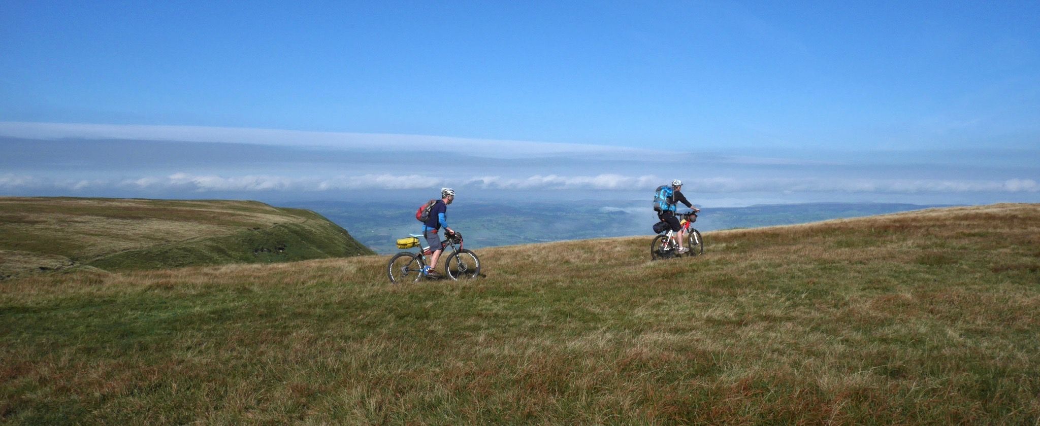
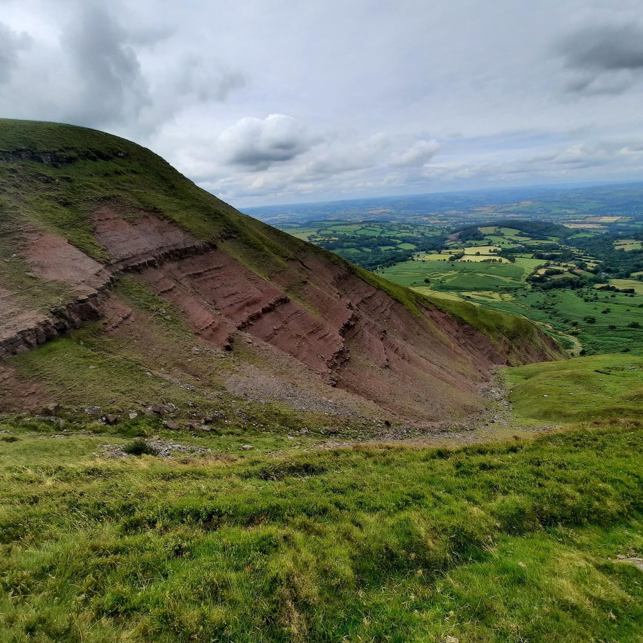
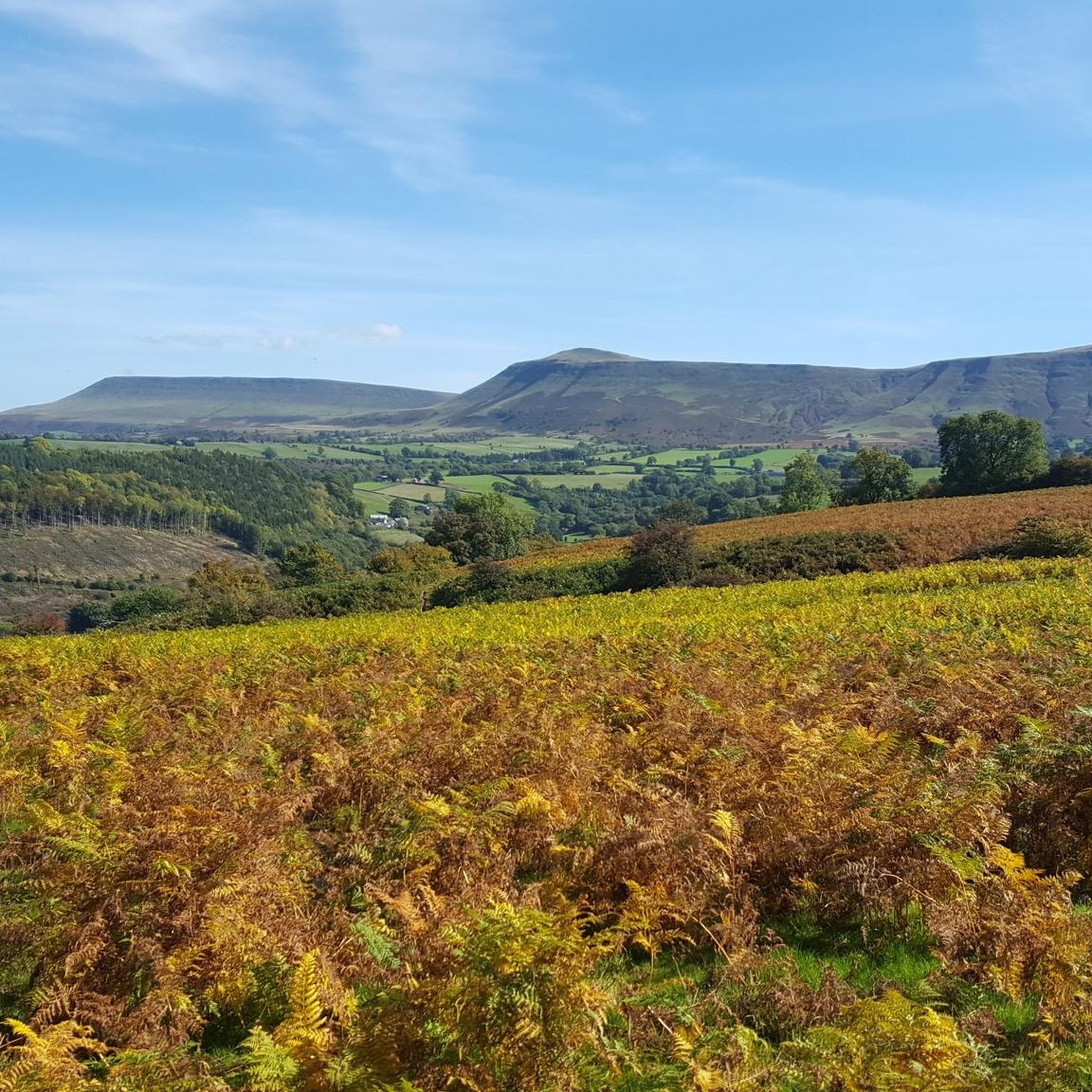
Other adventures around Gwernyfed

Tips from the Community

Pen y Gadair Fawr stood at an impressive height of 800 metres, and is an subsidiary summit of the highest peak within the Black Mountains … and that is the summit that is of Waun Fach-(811m). Pen y Gadair Fawr is the second highest peak that’s located in the Black Mountains in south-eastern Wales. Marked by a medium-sized cairn, it is a much more distinguished top than its parent 1.5 km to the northwest. Its 658 metres high top Pen Twyn Mawr is about 2 km to the southeast.
0
0

A fine viewpoint, but the cairn has gone (was getting a bit big).
0
0

Brilliant viewpoint and lots of route choices that run you south through the Black Mountains
0
0

In terms of height, Pen y Gadair Fawr plays second fiddle only to Waun Fach as the Black Mountains' second highest summit. However, where Waun Fach's top is broad and relatively uninspiring, Pen y Gadair Fawr's is a little more like a peak in character. The summit is at a junction of paths: head east for Chwarel y Fan and the Mynydd Du Forest, venture south to Pen Twyn Mawr, or stride northeast to Waun Fach.
1
0

Great walk that's pretty accessible for most people to achieve, challenging but doable! The route I took incorporated Lord Hereford's Knob. I published it on Komoot here: https://www.komoot.com/tour/1576268965 And on my blog here (with extra commentary for my own entertainment!): https://weekendwalk.co.uk/route/hay-bluff-walk/
0
0
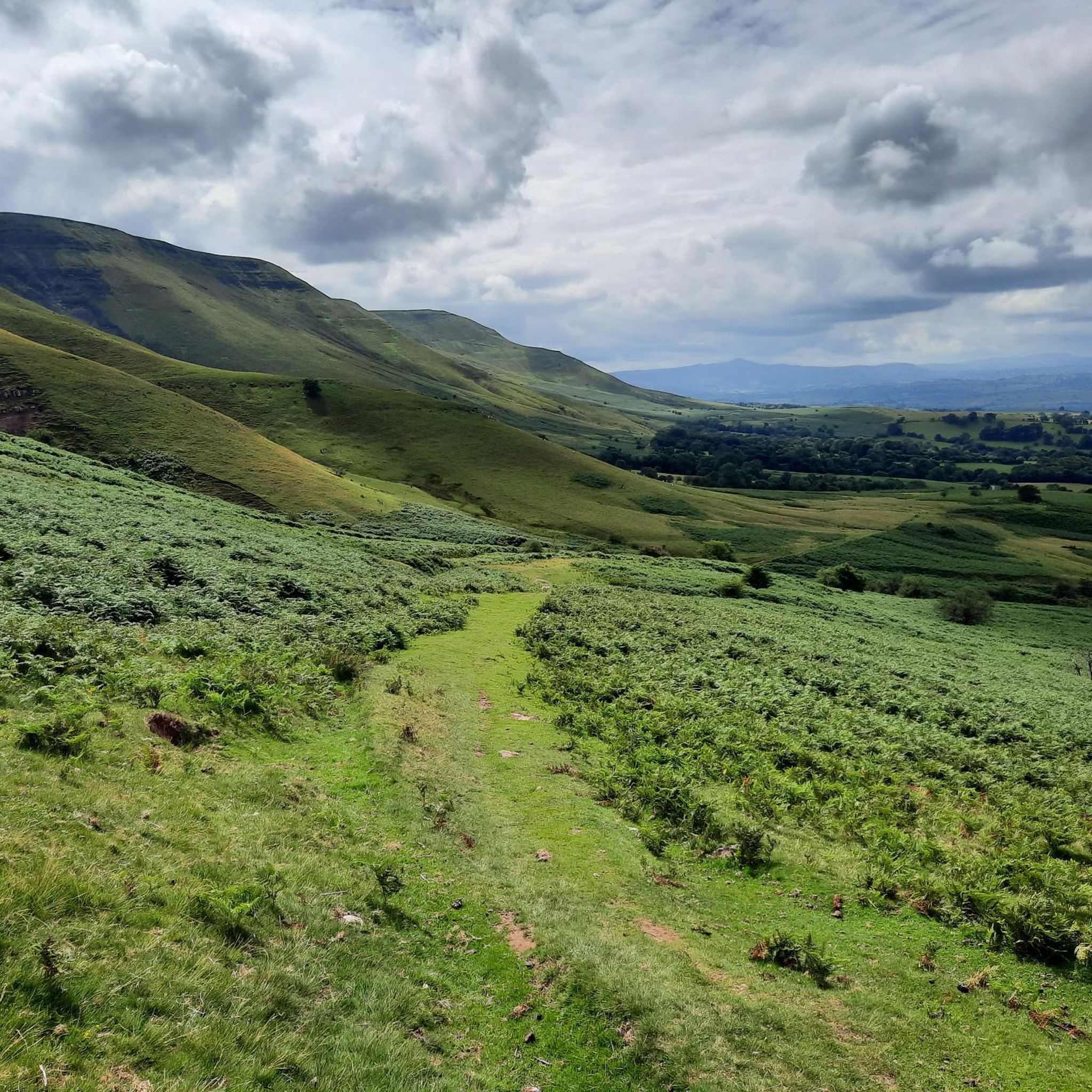
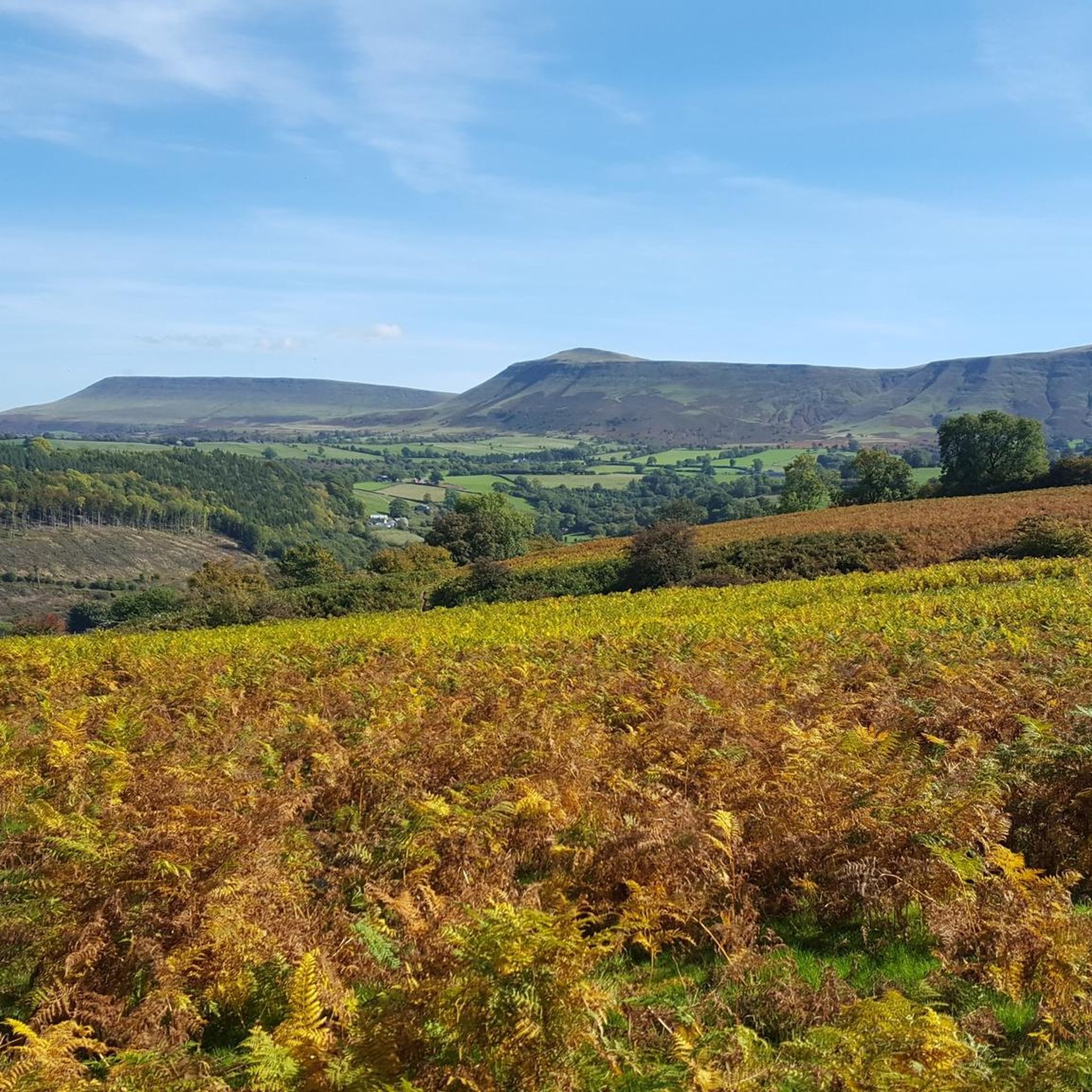
Hay Bluff is a prominent hill at the northern tip of the Black Mountains, an extensive upland massif which straddles the border between south-east Wales and England. The mountain sits at the point where the main northeast-facing escarpment of the Black Mountains meets the northwest facing escarpment, the next peak to the west being Twmpa. The flat summit of Hay Bluff which is marked by a beautiful welsh dragon trig pillar at a height of 677 metres (2,221 ft) overlooks the middle Wye Valley and the book town of Hay-on-Wye.
2
0

Pen Y Gadair Fawr has a big cairn on its summit at 800m. It's a subsidiary peak of Waun Fach but probably offers better views standing at the head of the Grwyne Fechan valley. Normally run as part of the excellent Waun Fach horseshoe from either Llanbedr or Crickhowell.
0
0
Frequently Asked Questions
What are some popular mountain peaks to explore near Gwernyfed?
Near Gwernyfed, you can explore several popular peaks. Hay Bluff is a prominent hill at the northern tip of the Black Mountains, offering views over the Wye Valley. Another must-see is Twmpa (Lord Hereford’s Knob), accessible from Gospel Pass with expansive views across the Brecon Beacons. For more accessible views, Mynydd Llangorse Summit provides glorious panoramas on a clear day.
What is the highest mountain in the Black Mountains near Gwernyfed?
The highest mountain in the Black Mountains, which are near Gwernyfed, is Waun Fach. It reaches an elevation of 811 meters (2,661 ft). While its summit is described as a broad, heavily eroded peat plateau, it is a significant peak for those aiming to conquer the highest point of the range.
Are there any family-friendly mountain walks around Gwernyfed?
Yes, there are options for family-friendly walks. Peaks like Hay Bluff are popular for family picnics and walks, with tips suggesting using paths that traverse slopes rather than going straight up. The area around Mynydd Llangorse Summit is also easily accessible and popular with hikers, offering good views.
What kind of terrain can I expect when hiking in the Black Mountains near Gwernyfed?
The Black Mountains, including peaks near Gwernyfed, are characterized by diverse terrain. You'll find rolling hills, picturesque river valleys, and expansive open moorlands. The geology features old red sandstone, heather-clad landscapes, and glacier-formed escarpments. Summits can range from flat, eroded peat plateaus, like Waun Fach, to more distinctive peak shapes.
Where can I find expansive views of the Brecon Beacons from a mountain peak near Gwernyfed?
For expansive views of the Brecon Beacons, Twmpa (Lord Hereford’s Knob) is an excellent choice. It's accessible via a trail from Gospel Pass and offers stunning panoramas when the clouds clear. Hay Bluff also provides significant views overlooking the middle Wye Valley and Hay-on-Wye.
Are there challenging mountain climbs in the Black Mountains near Gwernyfed?
Yes, for those seeking a challenge, peaks like Waun Fach, the highest in the Black Mountains, present a more demanding endeavor. Its summit can be reached via horseshoe routes. Pen y Gadair Fawr, the second highest at 800 meters, also offers a more challenging ascent and is often part of the Waun Fach horseshoe route.
What are some good options for easy mountain walks near Gwernyfed?
For easier mountain walks, Mynydd Llangorse Summit is an easily accessible hill offering great views. Additionally, the nearby routes include an "easy" rated Lord Hereford's Knob and Gospel Pass Loop, which is 4.9 km long. You can find more easy hikes in the Easy hikes around Gwernyfed guide.
What outdoor activities, besides peak bagging, can I do near Gwernyfed's mountains?
Beyond peak bagging, the area around Gwernyfed offers a variety of outdoor activities. You can find numerous hiking trails, including moderate and difficult options. The bridleways and byways around peaks like Mynydd Llangorse Summit are popular with horseriders and mountain bikers. There are also several cycling routes available, ranging from moderate to difficult, as detailed in the Cycling around Gwernyfed guide.
Are there specific hiking trails recommended for exploring the Black Mountains?
Yes, there are many highly-rated hiking trails. Popular options include the Lord Hereford's Knob and Gospel Pass Loop (easy, 4.9 km), the Hay Bluff loop from Gospel Pass (moderate, 5.8 km), and the more challenging Vale of Ewyas & Twmpa loop (16.3 km). For the highest peak, there's the Pen y Manllwyn Summit – Waun Fach summit loop (difficult, 23.6 km). You can explore more in the Hiking around Gwernyfed guide.
What makes the geology of the Black Mountains unique?
The Black Mountains, including the peaks near Gwernyfed, are characterized by their distinctive geology. The landscape is primarily carved from old red sandstone, which contributes to the region's characteristic rolling hills and escarpments. These features, combined with heather-clad landscapes and glacier-formed elements, create a unique and scenic environment.
What do visitors particularly enjoy about the mountain peaks around Gwernyfed?
Visitors to the mountain peaks around Gwernyfed frequently praise the stunning views and the variety of trails. Many enjoy the sense of accomplishment from reaching summits like Twmpa, especially when the clouds clear. The area is also appreciated for its accessibility for different activity levels, from family picnics at Hay Bluff to challenging hikes, and the overall beauty of the Welsh countryside.
Is it possible to find dog-friendly trails in the Black Mountains near Gwernyfed?
The Black Mountains and Brecon Beacons National Park generally welcome dogs on trails, provided they are kept under control, especially around livestock. Many of the popular hiking routes, including those around Hay Bluff and Twmpa, are suitable for dog walking. Always check local signage for any specific restrictions, particularly during lambing season.
What is a notable peak offering a distinctive shape and views in the southern Black Mountains?
Pen Cerrig-calch is a notable peak that rises prominently above Crickhowell in the Usk Valley. While not the highest, its distinctiveness and the views it offers make it a significant peak within the southern part of the Black Mountains. It reaches an elevation of 701 meters (2,300 ft).
Are there any circular walking routes available in the Black Mountains near Gwernyfed?
Yes, circular walking routes are a popular way to explore the Black Mountains. For instance, the Vale of Ewyas & Twmpa loop from Gospel Pass is a longer circular route. The highest peak, Waun Fach, can also be hiked via a horseshoe route. Additionally, Mynydd Troed Summit is mentioned as being part of the Black Mountains Round, suggesting circular options are common in the area.
Most popular attractions around Gwernyfed

Get inspired with the komoot mobile app


Explore more
See even more amazing summits around Gwernyfed with these guides:
